
| Area: | Local | Ascent: | 120 feet |
| Walk No: | 234 | Time: | 1hour 45minutes |
| Date: | 11th December 2008 | Parking: | Middleton Sands |
| Distance: | 3.75 miles | Weather: | Fine & Sunny |
| Route: | Just follow the coastline -- check the tidetables first though!! |
For those of you that are thinking of going onto the hills I would strongly recommend that you read the advice given by the Mountain Rescue organisation of England and Wales. To read this advice, which will open in a new page please click HERE. If you would like to make a donation to the Mountain Rescue organisation which is purely voluntary please click HERE. Please make the time to read the advice page.
Another fine, glorious day but unfortunately my knee was feeling the effects of the two previous days walks so we picked this short local walk only 5 minutes drive from the house.
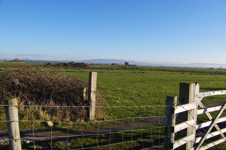
We left the car on the beach at Middleton Sands.
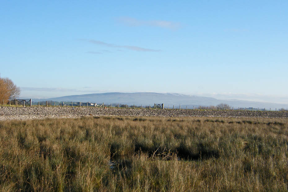
Our route would follow the shoreline south towards Sunderland Point. It wasn't quite as clear as the previous day although Clougha Pike and Wards Stone in the Forest of Bowland were plain to see.
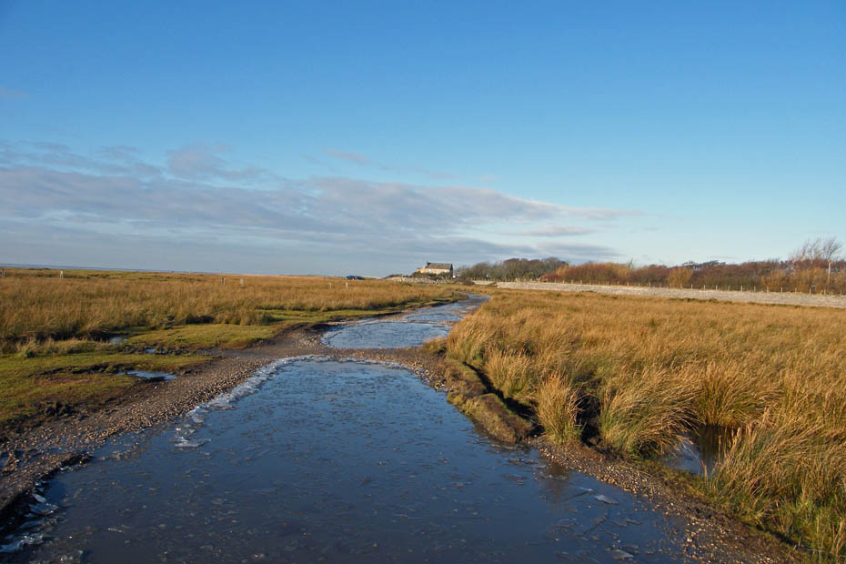
It had fortunately frozen quite hard overnight so the normally muddy track was quite firm
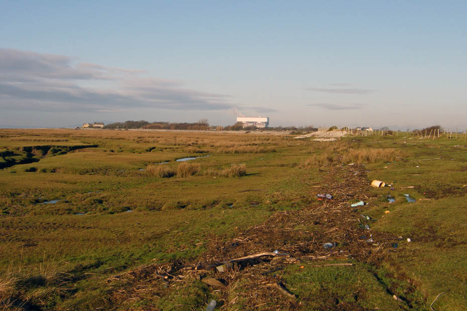
The shore around here seems to collect more than it's fair share of rubbish from our throwaway society.
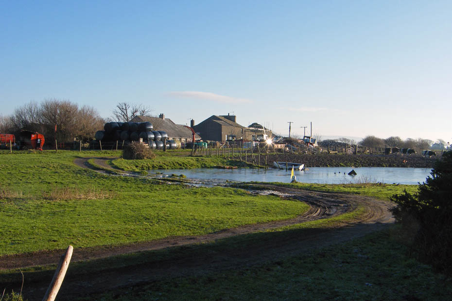
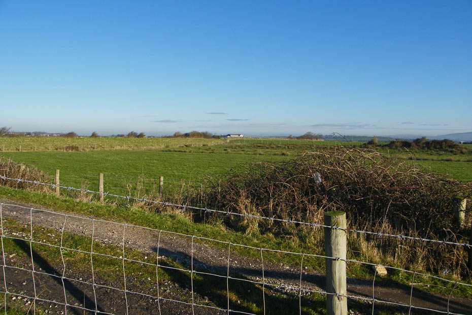
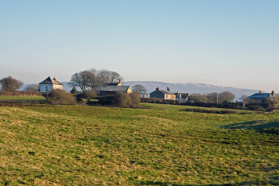
Passing by Sunderland Brows farm.
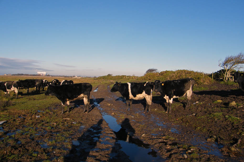
The cows were making their way from the farm onto the salt marsh to graze.
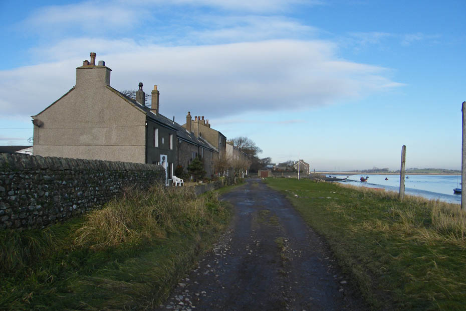
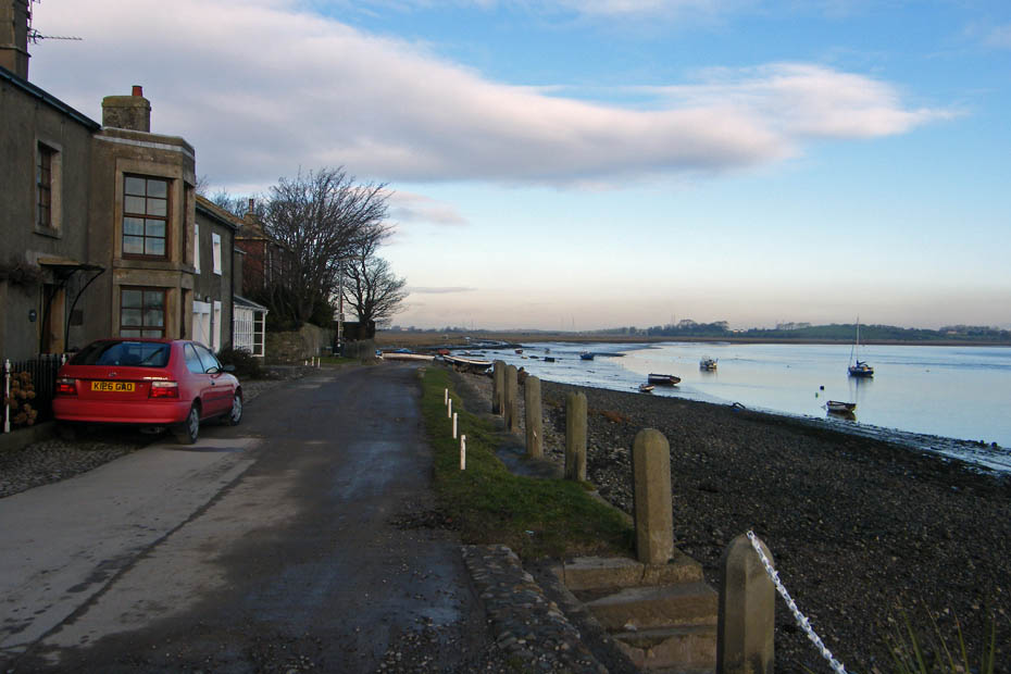
Passing by "The Lane". After walking around the point our return from the other side would be along this lane.
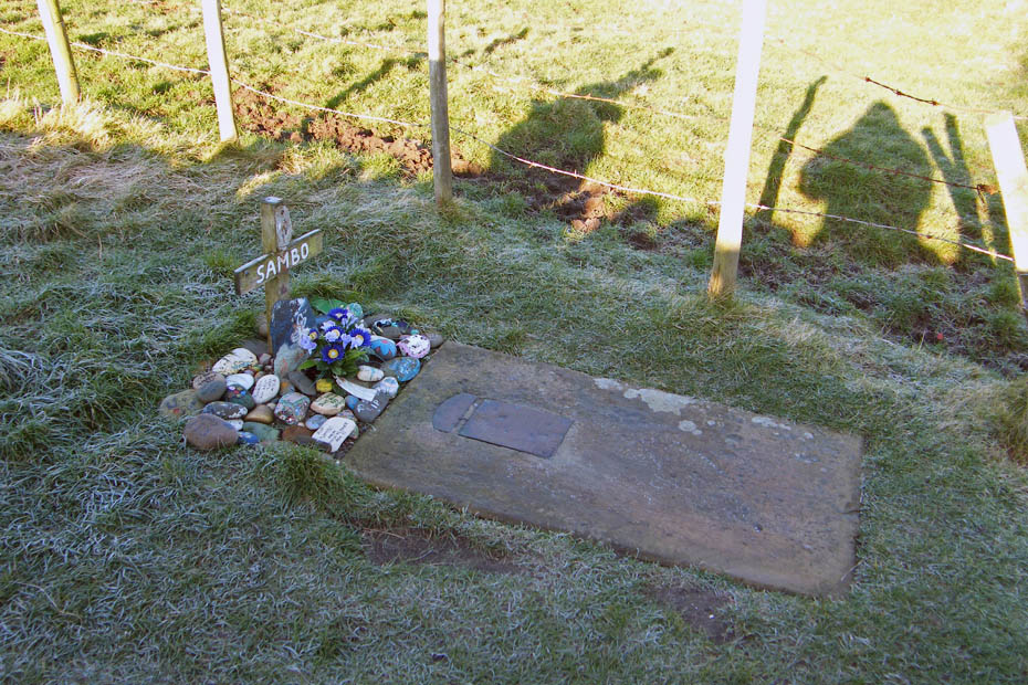
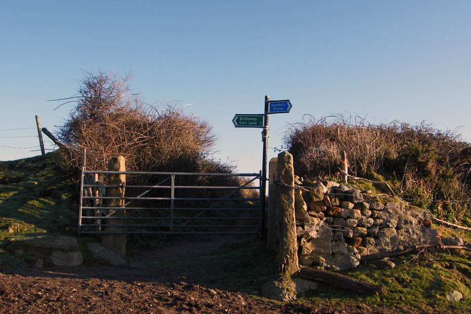
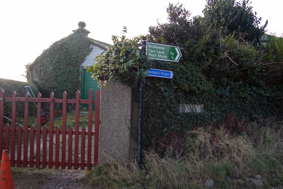
In a quiet corner of a stll frozen field lies the grave of Sambo.
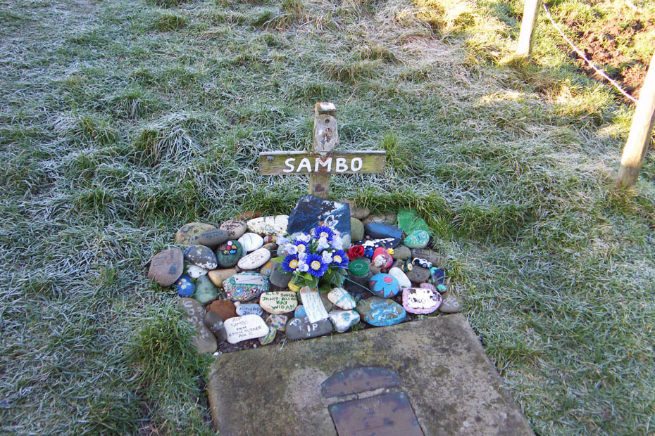
For more info click HERE, it will open in a new page
Looking across the point to the houses on the other side.
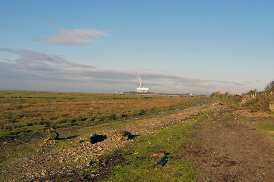
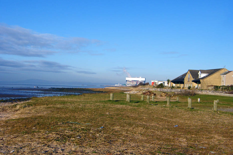
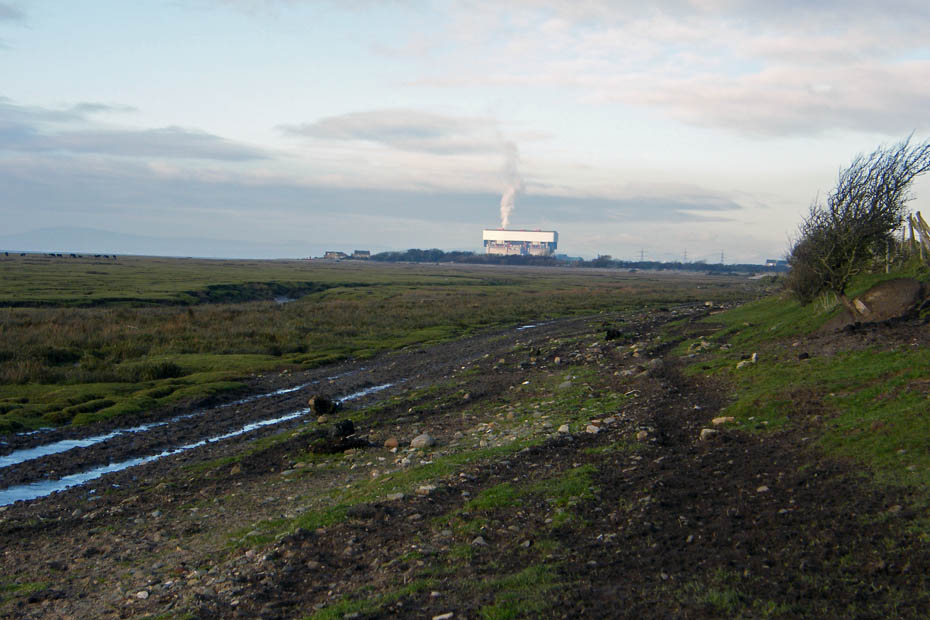
No wind again as the steam from Heysham 2 Power Sation goes straight up. The old Morecambe fisherman I used to go out shrimping with used to call this a "Paddy's Hurricane"....no offence to any Irish viewers.
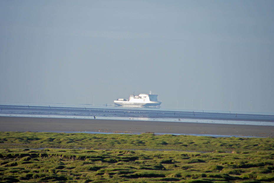
A close up of the Ben My Chree on her way to Heysham from the Isle of Man. Those feint white upright lines to her left and right are the wind turbines off Barrow.
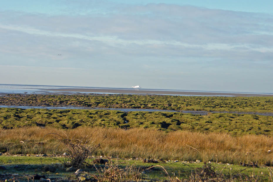
The normal view
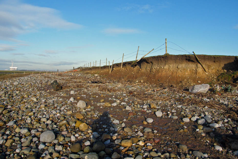
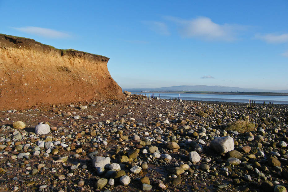
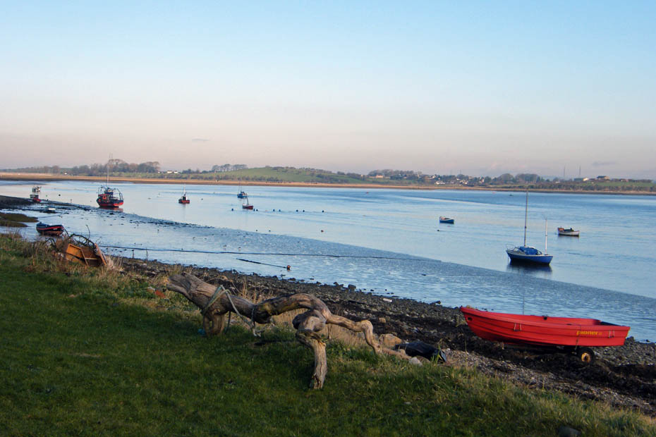
We are now starting to go around the point itself, leaving behind the west shore and Morecambe Bay to reach the east shore and the River Lune. Note the effects of coastal erosion.
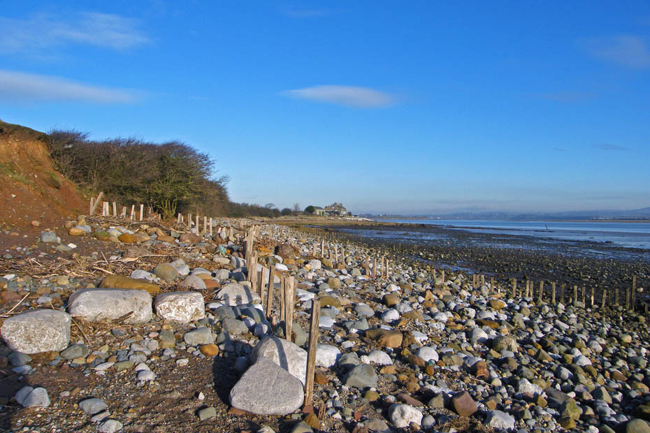
More erosion as we look across the River Lune to Clougha Pike
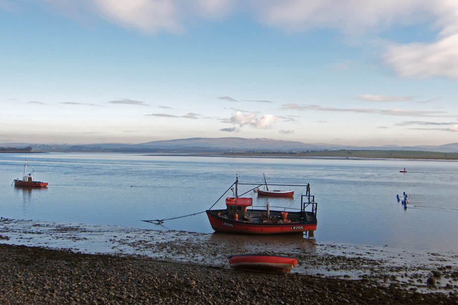
Walking along the east shore towards Sunderland.
2nd Terrace Sunderland.
 n
n
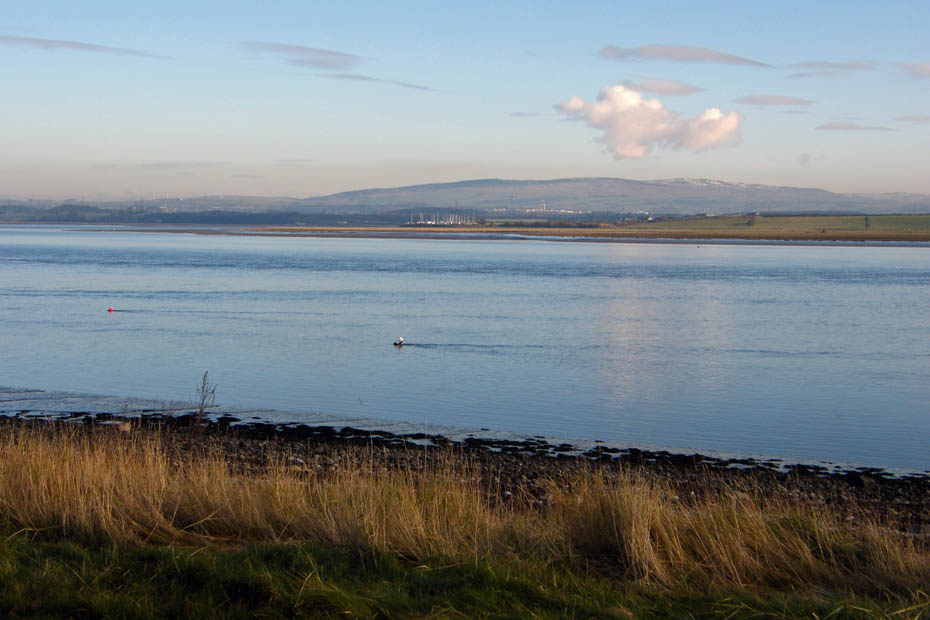
Looking upriver towards Overton. The small lump in centre picture is called the Hall Greave. It was around there that Edith and I did our walking/courting some 46 years ago.
1st Terrace Sunderland and this is as far as we go because just behind me.......
.....is the lane I mentioned earlier which will lead us back to the west shore and our return to the car.
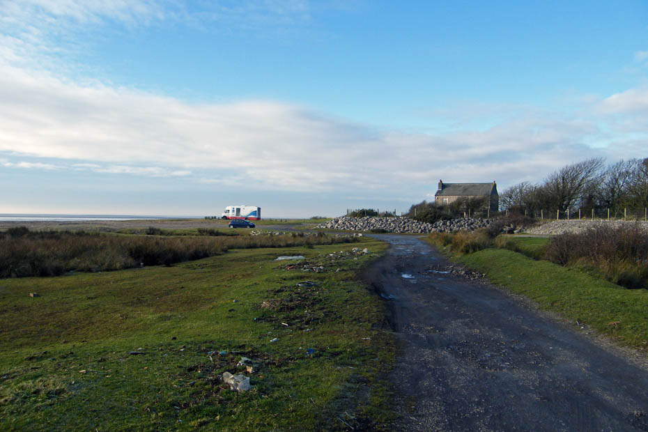
And finally.....back to the car and the Mobile Library who is having his lunch break here.
Next Walk: 27th December 2008 -- South Cumbria -- A Sedgwick saunter
Last Walk: 10th December 2008 -- Local -- A walk along the River Lune
We hope you have enjoyed viewing this walk. If you have any comments please sign our Guestbook or E_Mail us
