
| Area: | SE Cumbria | Ascent: | 390feet |
| Walk No: | 243 | Time: | 1hour 15minutes |
| Date: | 25th January 2009 | Parking: | A65(T) layby (SD527889) about 3/4 south of the Westmorland Hospital. |
| Distance: | 2.25miles | Weather: | Fine with some sun |
| Route: | Car - The Helm - Station Inn - Car |
For those of you that are thinking of going onto the hills I would strongly recommend that you read the advice given by the Mountain Rescue organisation of England and Wales. To read this advice, which will open in a new page please click HERE. If you would like to make a donation to the Mountain Rescue organisation which is purely voluntary please click HERE. Please make the time to read the advice page.
Another short walk due to the RA but one that was completely new to us. We have driven by The Helm many times on our way to or from Kendal, in fact about 4 years ago during a short stay at the Westmorland General Hospital I could see it out of the window. It came to my attention just over a year ago when I saw an article that the Friends of the Lake District had purchased it. We have been meaning to have a look at it for some time and were not disappointed with this lovely little hill. We will health permitting certainly be revisiting it later this year with the two eldest granddaughters.
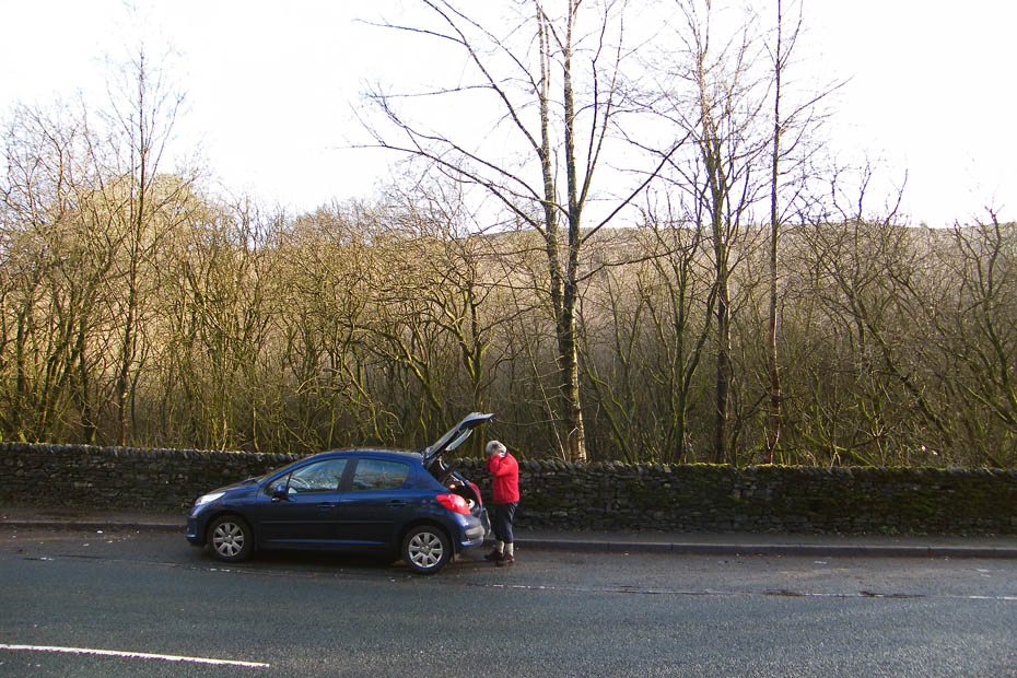
The car was left in a layby near the start of the walk.
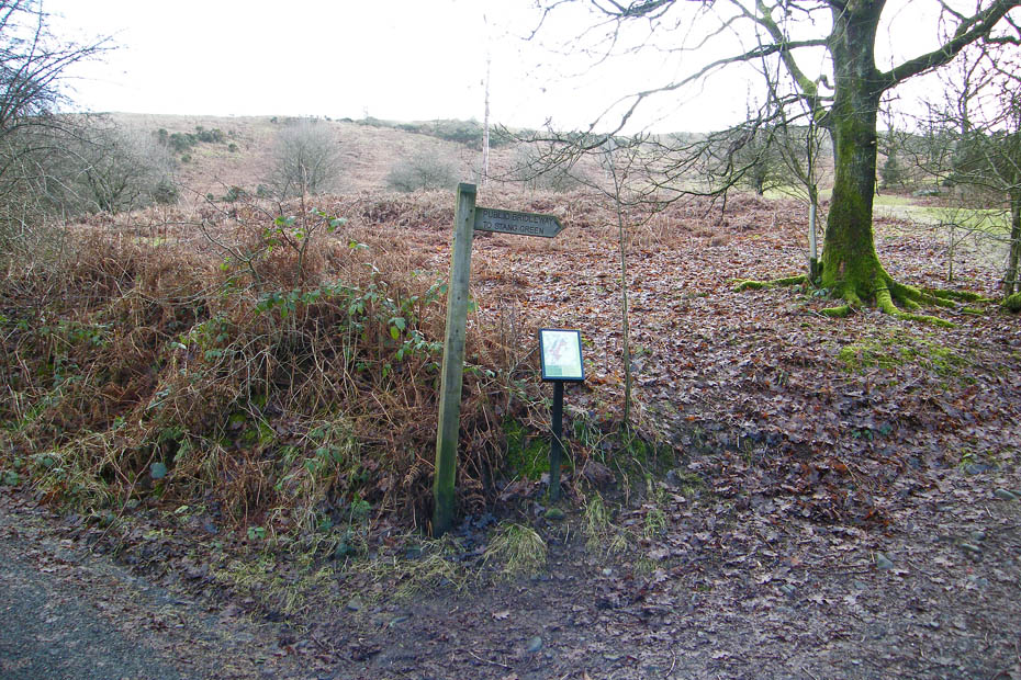
From the car we took a single track unclassified road that runs along the base of the hill but after a few yards took this bridleway off to the right.
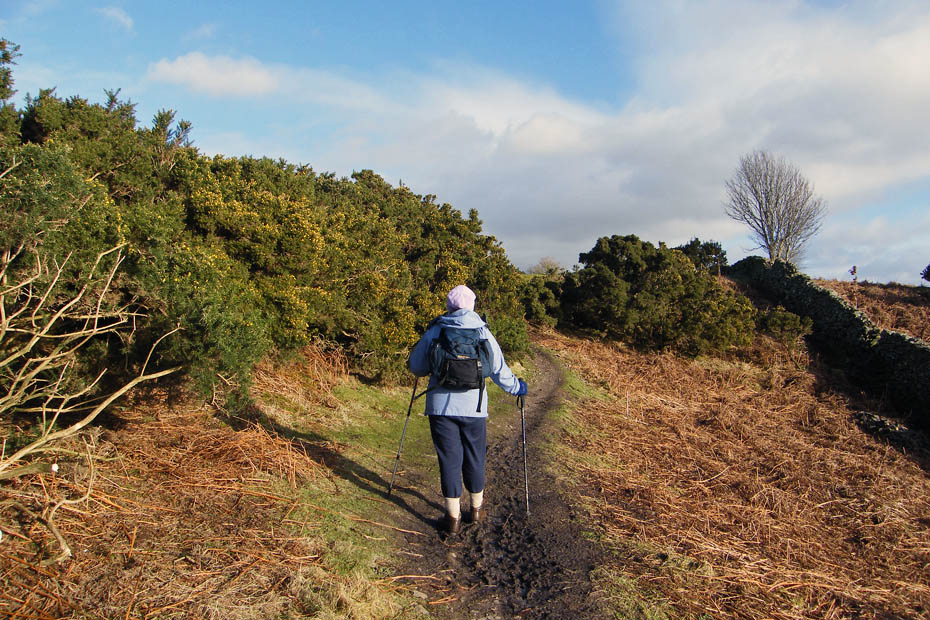
There were a number of paths setting off for the ridge but we decided to follow the bridleway to its highest point before diverting.
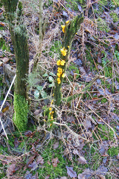
Colourful fungi on mossy wood
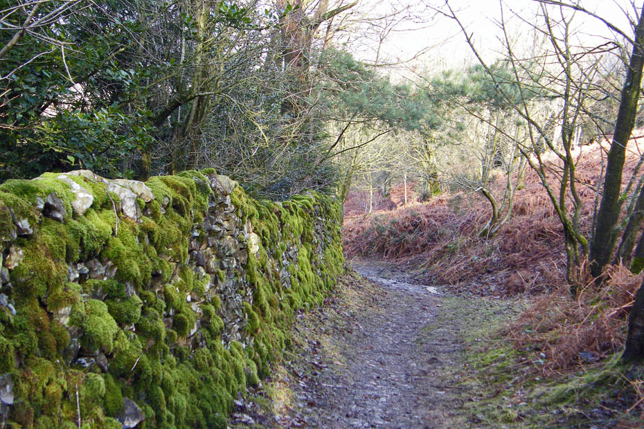
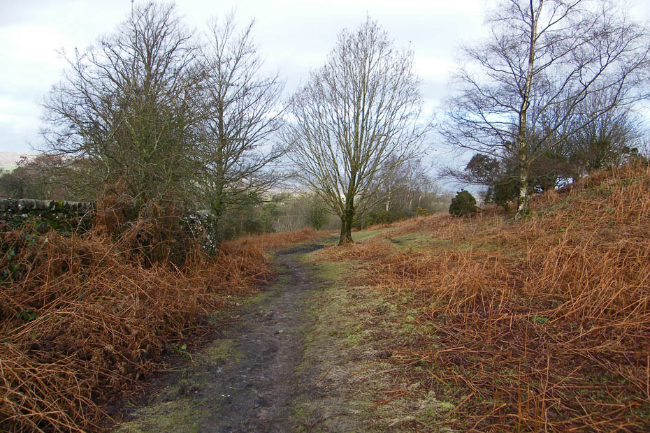
The path was a bit wet in places after heavy overnight rain but easy to walk upon.
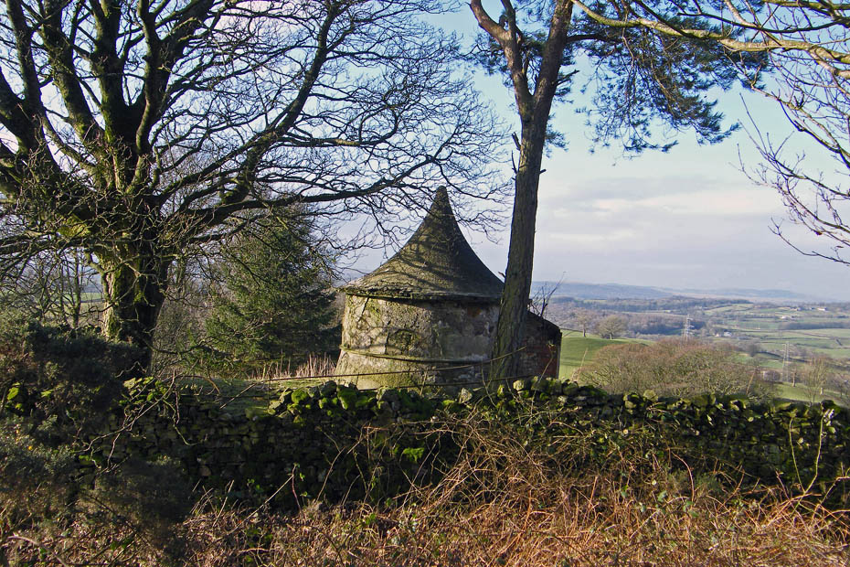
I'm not sure what this pepperpot like building is on the other side of the wall. If anybody knows please let me know.
Just by the pepperpot the path to the summit went off to the left following the wall which runs along the ridge.
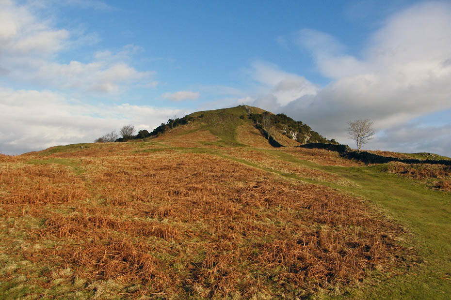
Before long the summit came into view.
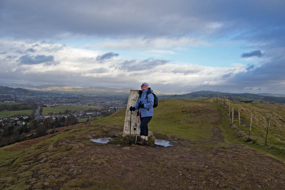
Did I say it was a bit breezy.
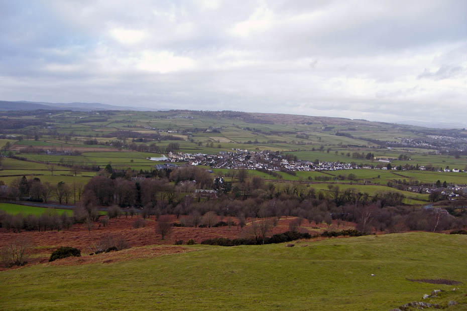
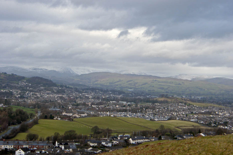
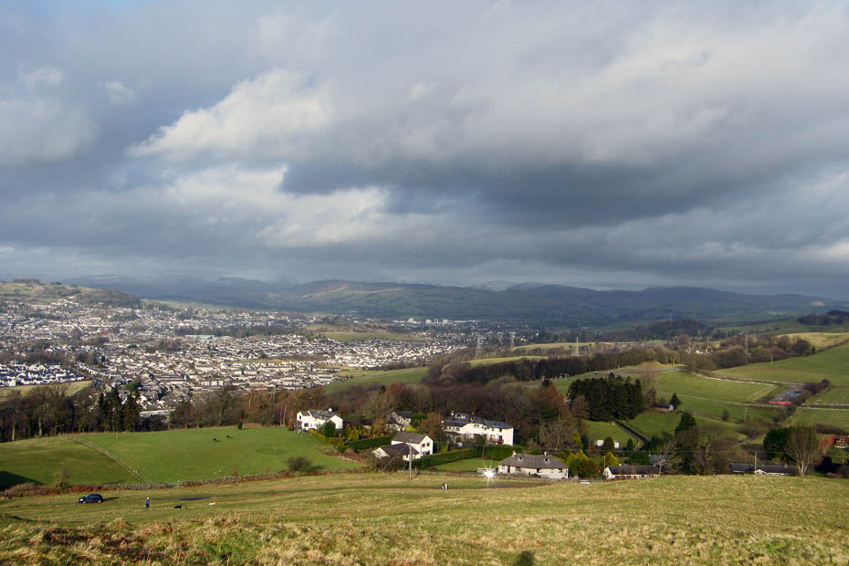
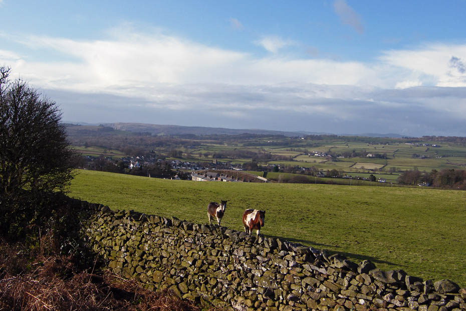
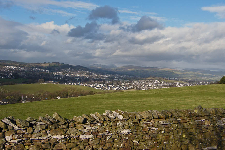
Looking over the village of Natland towards Scout Scar.
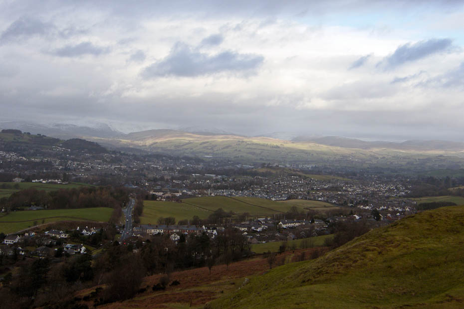
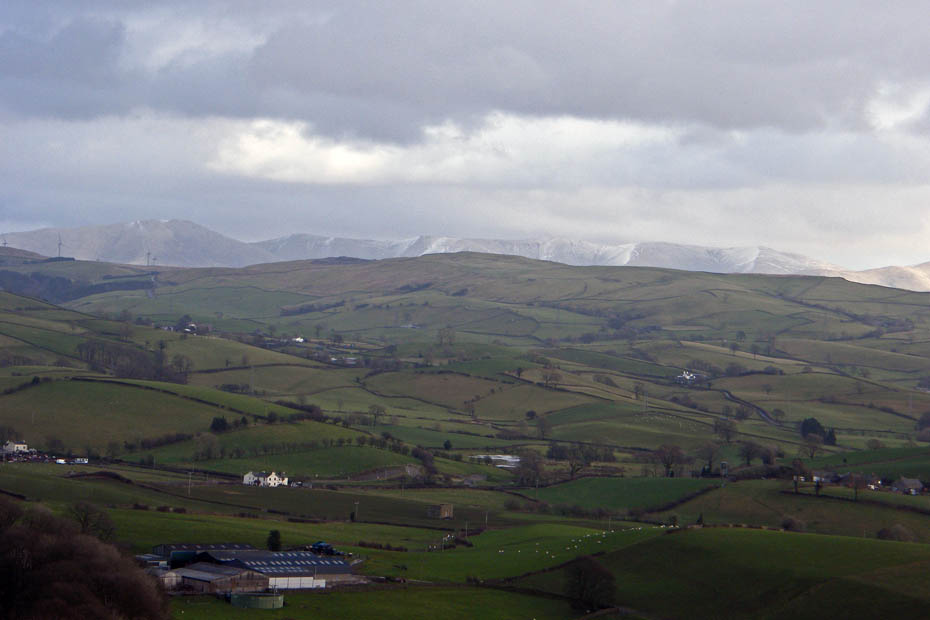
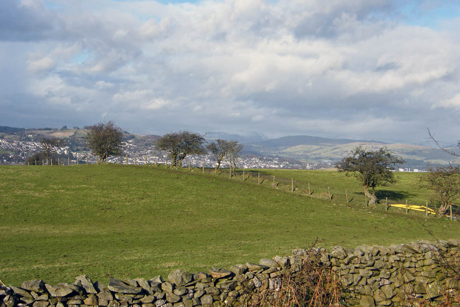
And over Oxenholme (below) and Kendal to Potter Fell with the snowy Kentmere and Shap fells behind.
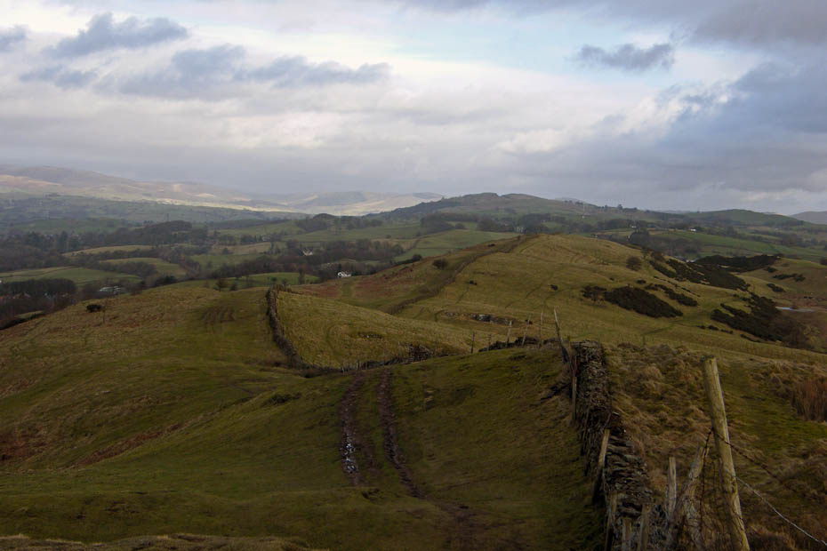
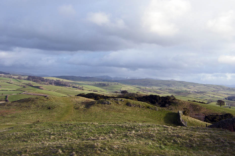
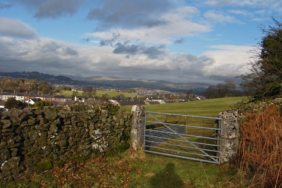
The way ahead. The ridge is only a mile in length. From what I remember the land to the left of the wall is common land and to the right was private. It is that land that Friends of the Lake District purchased. Somebody will correct me if I'm wrong.
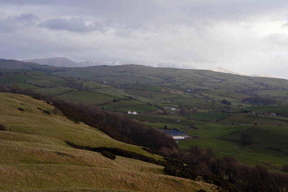
Looking over Summerhouse Hill to the snowy Howgill Fells
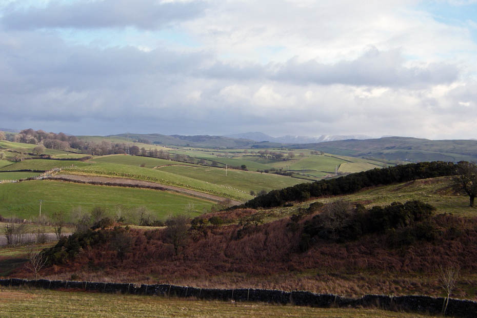
A close up of the Kentmere Fells.
We soon reached the northern top which is only a few feet lower that the summit before descending.
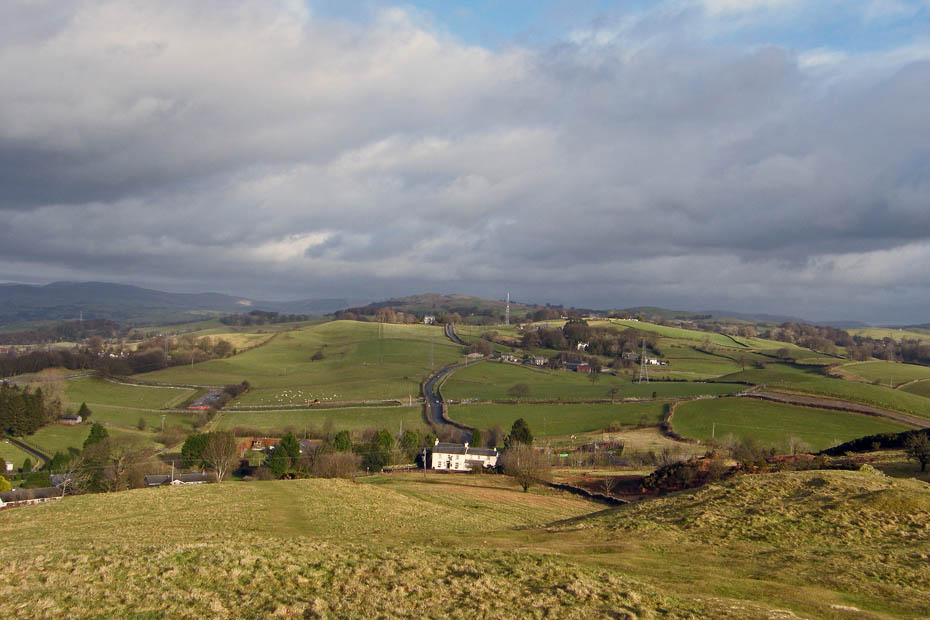
That's the Station Inn below us with Benson Knott behind it.
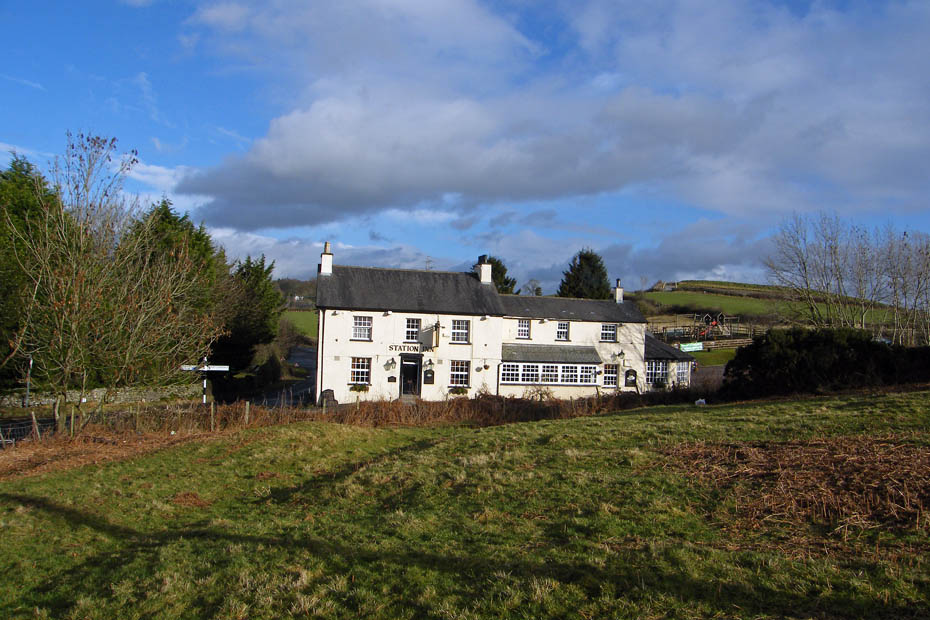
The Station Inn....looks to have a good play area for the kids.
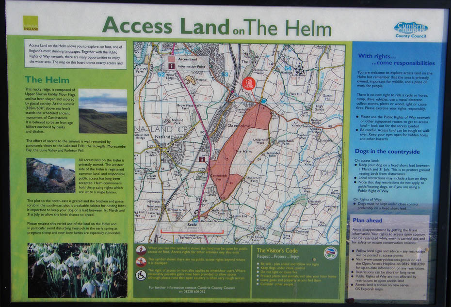
Info board
An easy walk back alongside the unclassified road
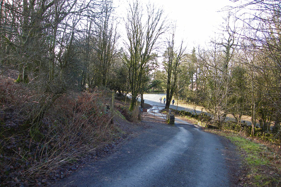
And finally....this picture shows both the main road where the 3 ladies are standing and the unclassified road of our return. The bridleway fingerpost can be seen on the left. Our car was about 50 yards down the main road to the right.
Next Walk: 26th January 2009 -- Arnside & Silverdale -- Heald Brow & Jenny Brown's Point
Last Walk: 22nd January 2009 -- Local -- Heysham Head and the Barrows
We hope you have enjoyed viewing this walk. If you have any comments please sign our Guestbook or E_Mail us
