
| Area: | Local | Ascent: | 220 feet |
| Walk No: | 247 | Time: | 1hour 30minutes |
| Date: | 17th February 2009 | Parking: | South side of river at Halton (SD503645) |
| Distance: | 3.00 miles | Weather: | Fine but overcast |
| Route: | A simple walk up the nort side of the river and back down the south side. |
For those of you that are thinking of going onto the hills I would strongly recommend that you read the advice given by the Mountain Rescue organisation of England and Wales. To read this advice, which will open in a new page please click HERE. If you would like to make a donation to the Mountain Rescue organisation which is purely voluntary please click HERE. Please make the time to read the advice page.
It had been over a fortnight since my last walk. The recent cortisteroid injection had not worked as good as the previous ones and frustration was setting in. Fortunately due to the kindness of others I had been able to keep the website updated with pictures but I really needed to get out myself. Edith was at her brothers for the day so I decided to do this short walk and see how things went. No climbing and all the awkward bits were on the outward leg when the joints were fresh. It was simply a walk up one side of the river to the Crook O'Lune with a return down the cycleway on the the other side. A dull day with not a lot of light so please excuse the picture quality.
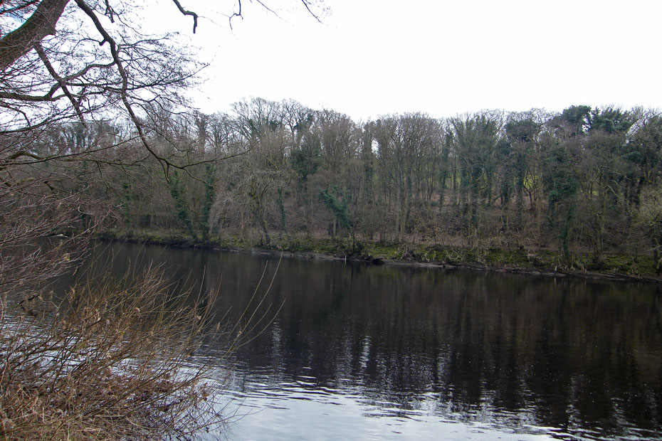
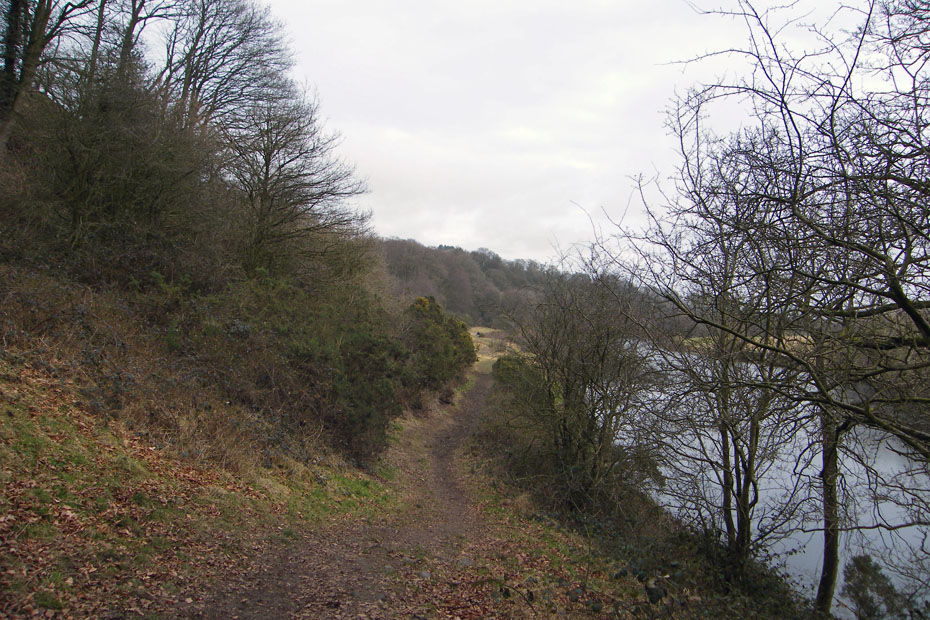
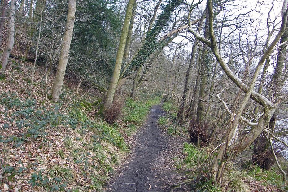
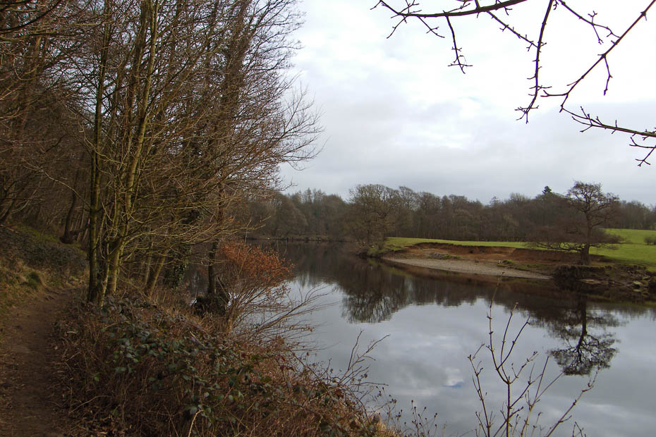
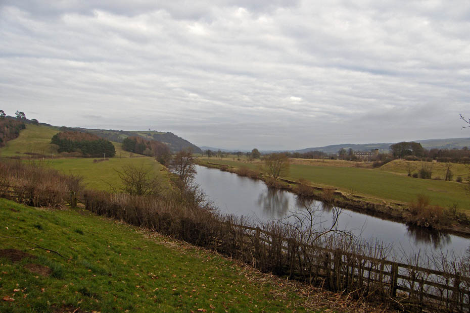
I left the car on the south side of the river at Halton and walked over the single track bridge before taking a path along the river.
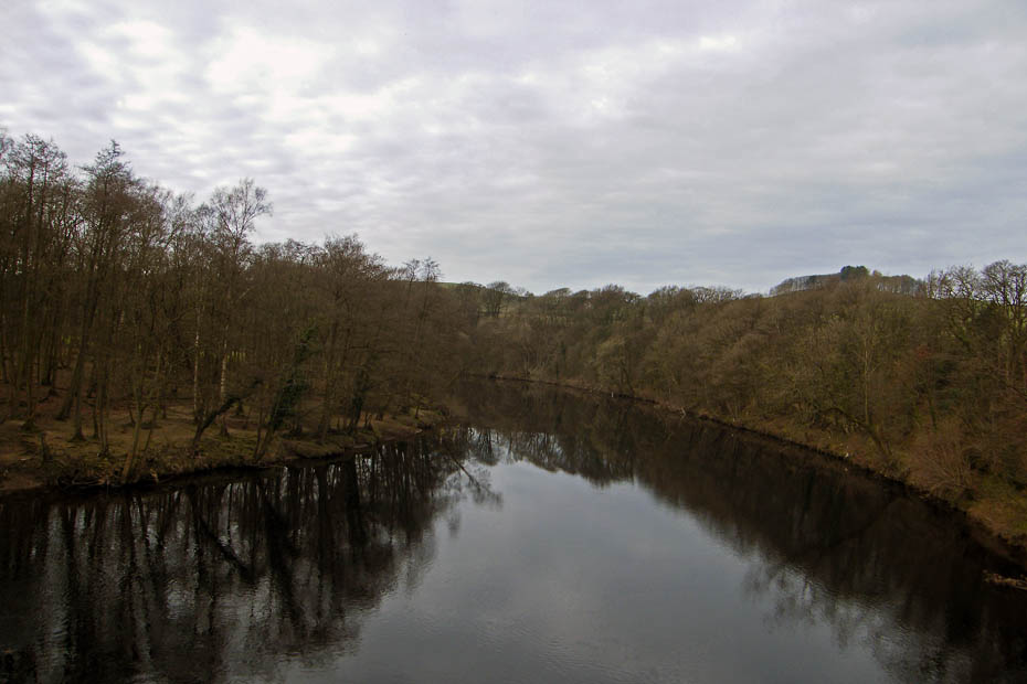
Looking upriver from the bridge
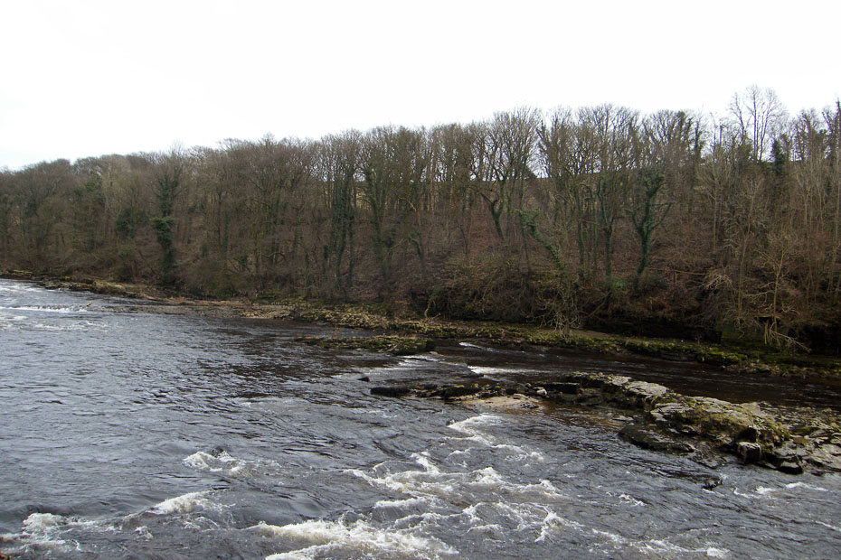
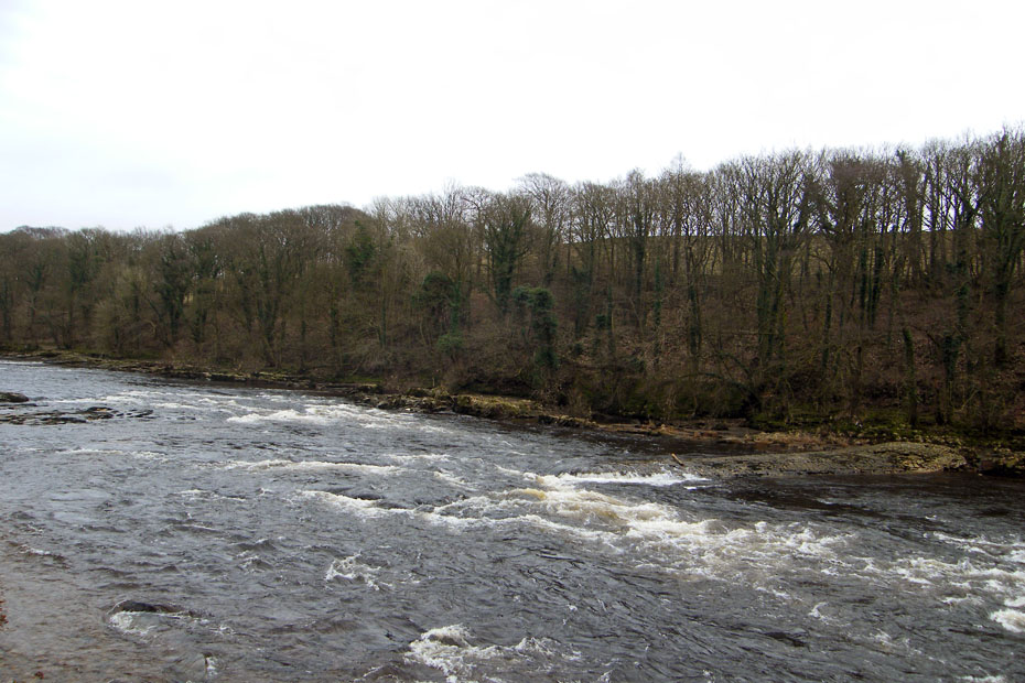
This section is known as the Halton rapids. A bit of an exaggeration perhaps but it is popular with the canoeists when the river is in spate.
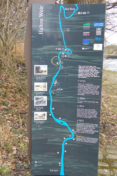
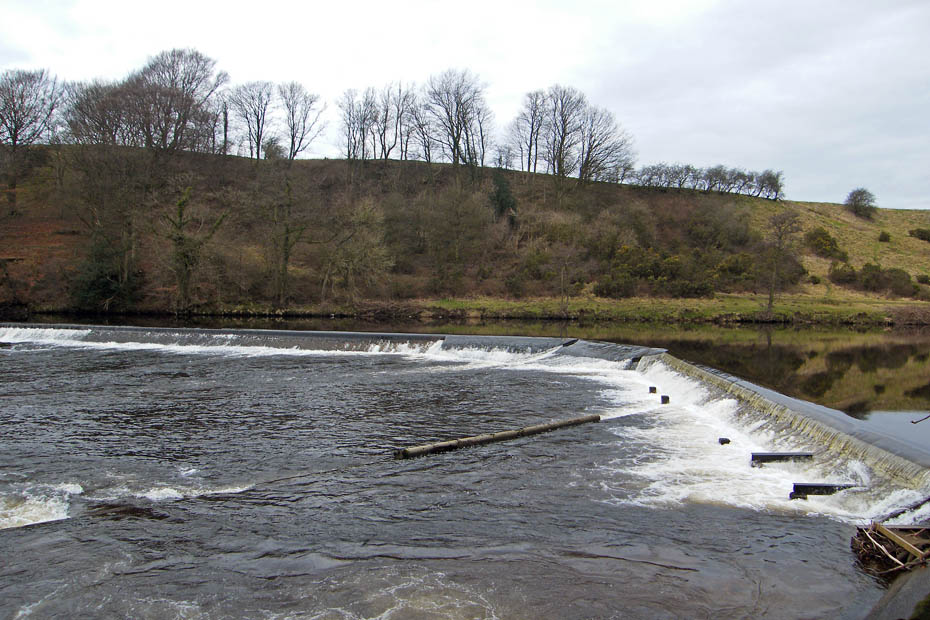
Info board at Halton Weir.
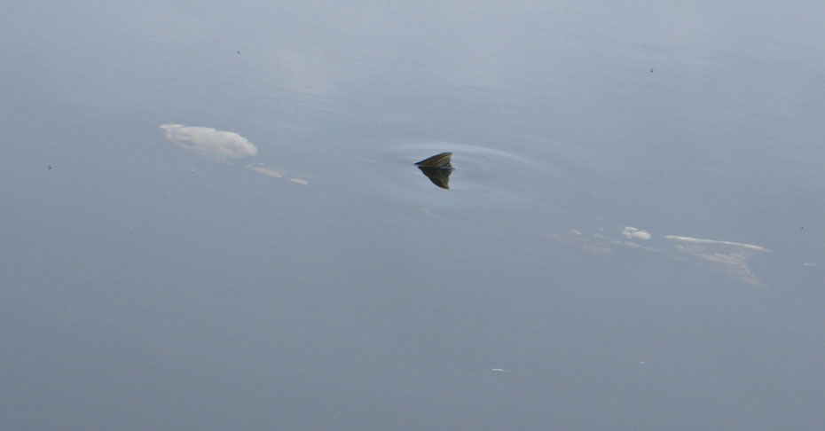
As I approched the weir a fellow walker sat there enjoying his butties pointed out this poor chappie to me. It looked seriously diseased and could barely move its tail. It was the best part of 30" - 36" long and unfortunately out of reach to put out of its misery.
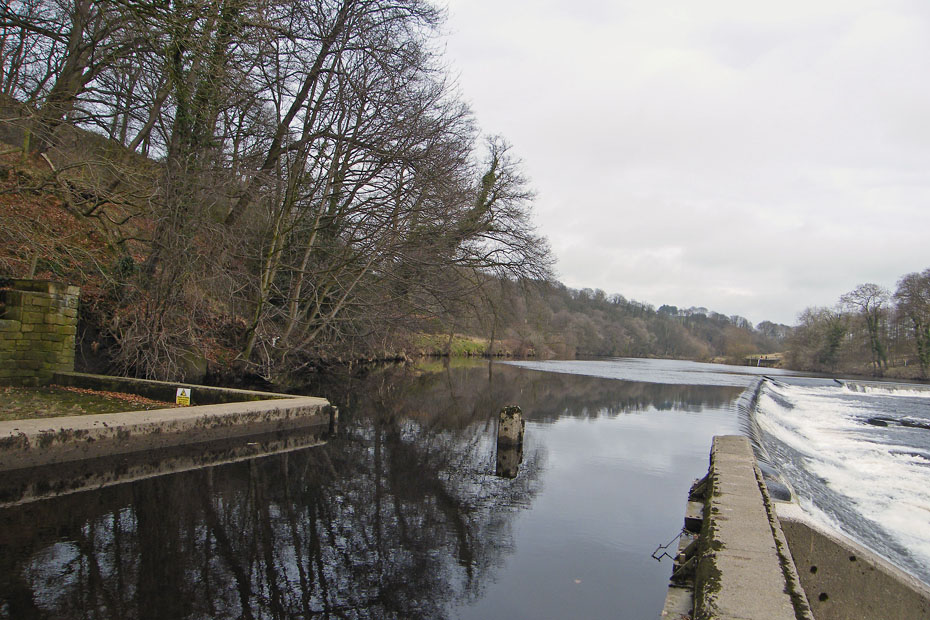
Halton Weir
Just past this point the path left to river to climb up to the road near the picnic site.
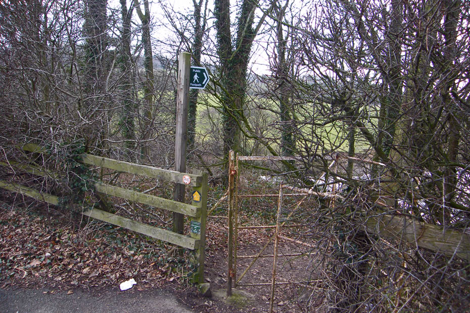
Leaving the path to follow the road down to the picnic site.
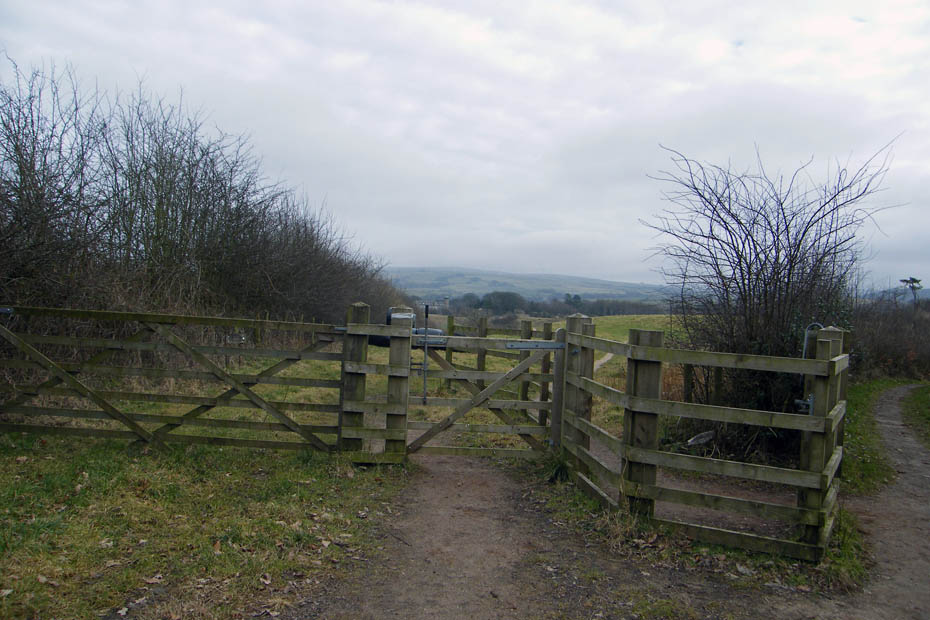
Fortunately this concessionary path about 30 yards down the road avoids the rest of the road walking.
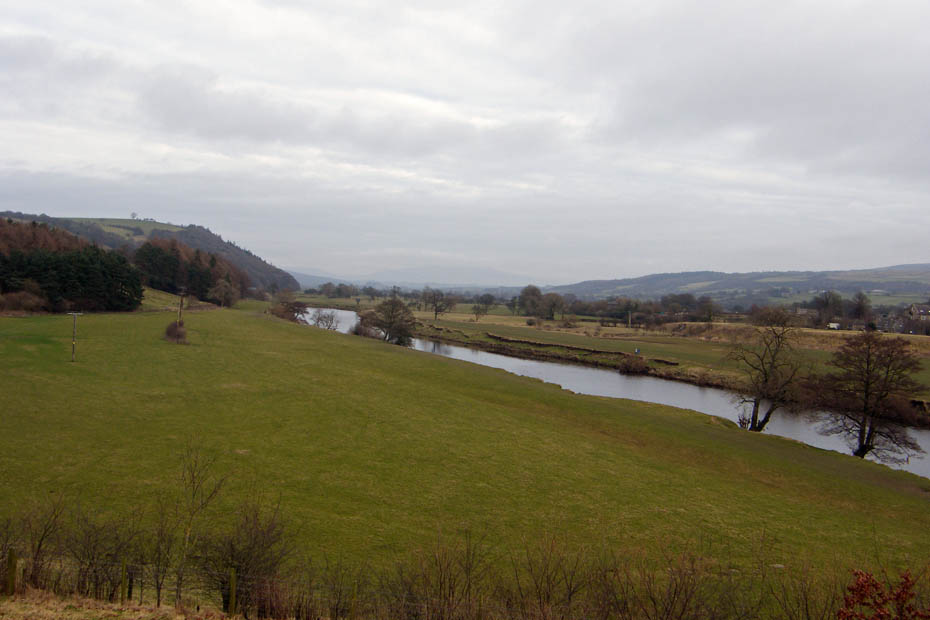
And gives great views of the Lune valley. Unfortunately the views were restricted today.
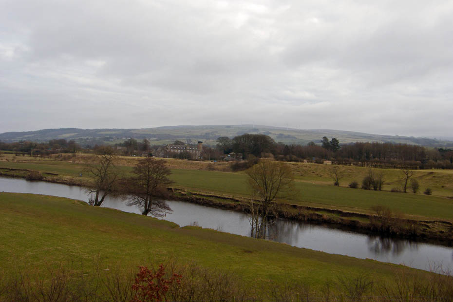
Looking over to Caton Moor with the windfarm barely visible
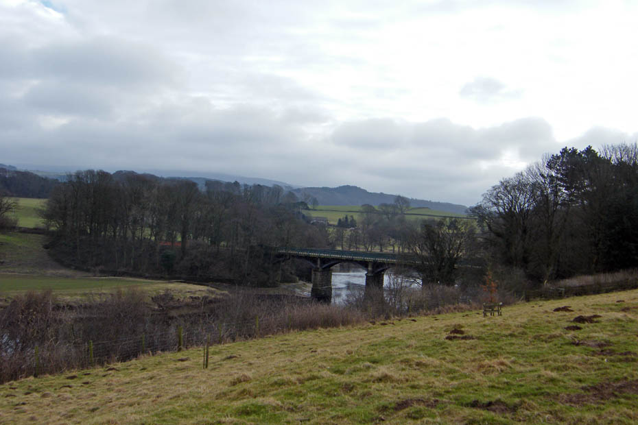
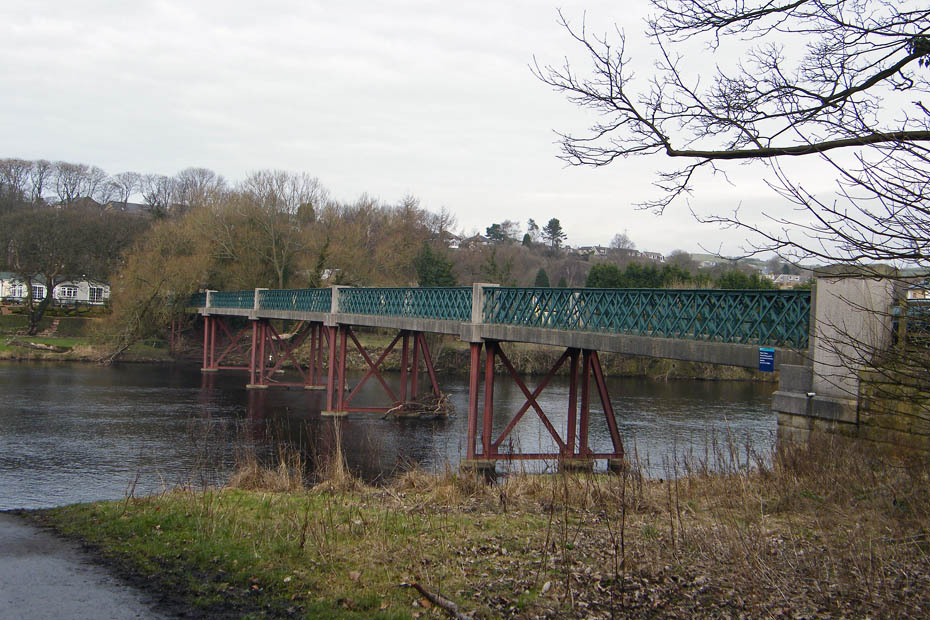
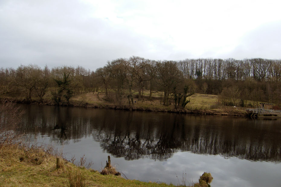
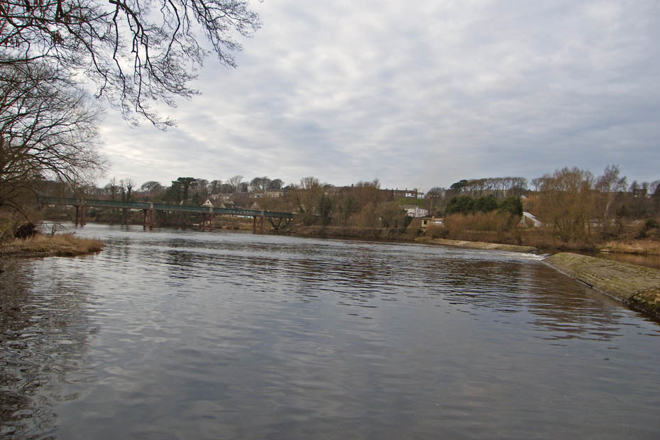
The Crool O'Lune is home to 4 bridges. 2 rail bridges (now the cycleway), 1 road bridge and 1 bridge that carries the road over the old railway.
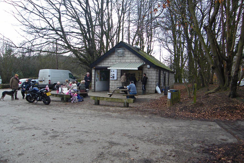
Woodies!!......A Bacon bun and a mug of tea.
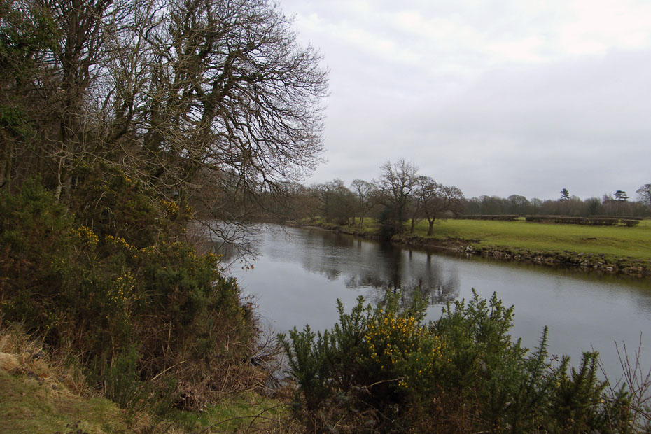
Starting back and wlking down to join the cycletrack.
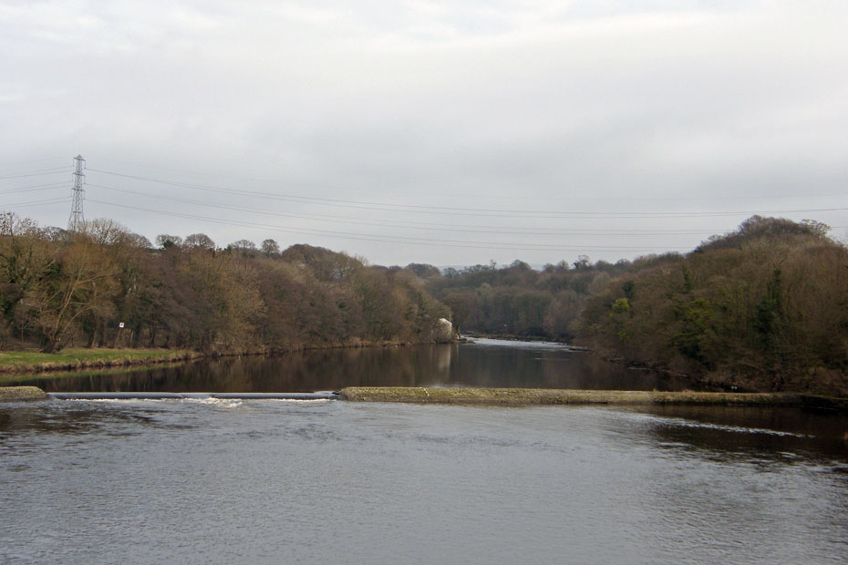
Looking downriver from the western railway bridge
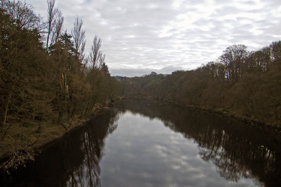
And upriver.
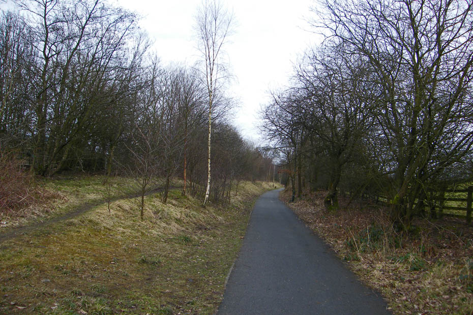
An easy return along the cycletrack.
Back at Halton weir but now on the other bank.
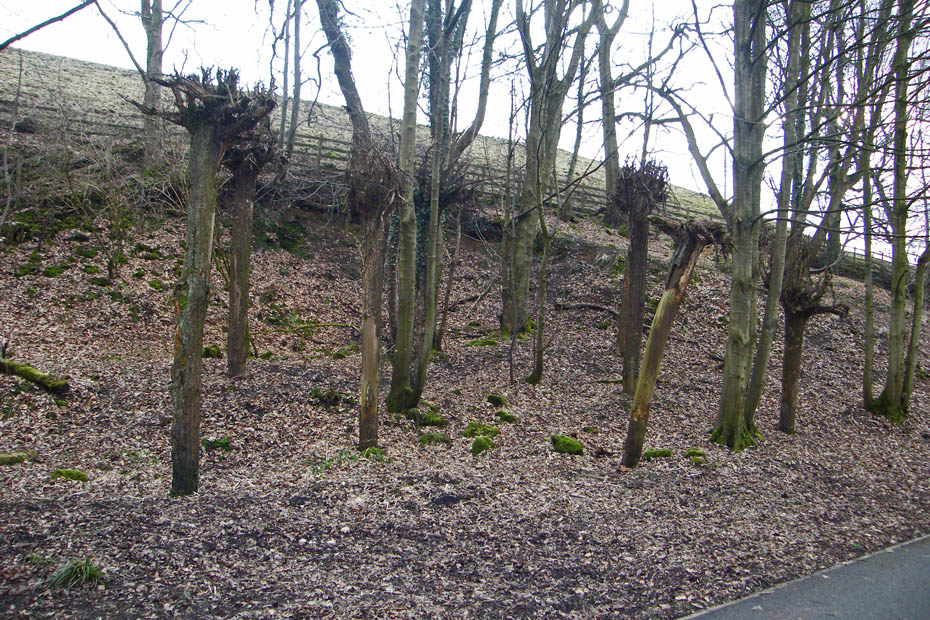
Another of Lancasters artworks......First...Dig up 8 eight trees complete with roots, then chop of the tops and stick them back in the ground with the roots in the air. Not sure what they are meant to represent......Wanton Vandalism perhaps?
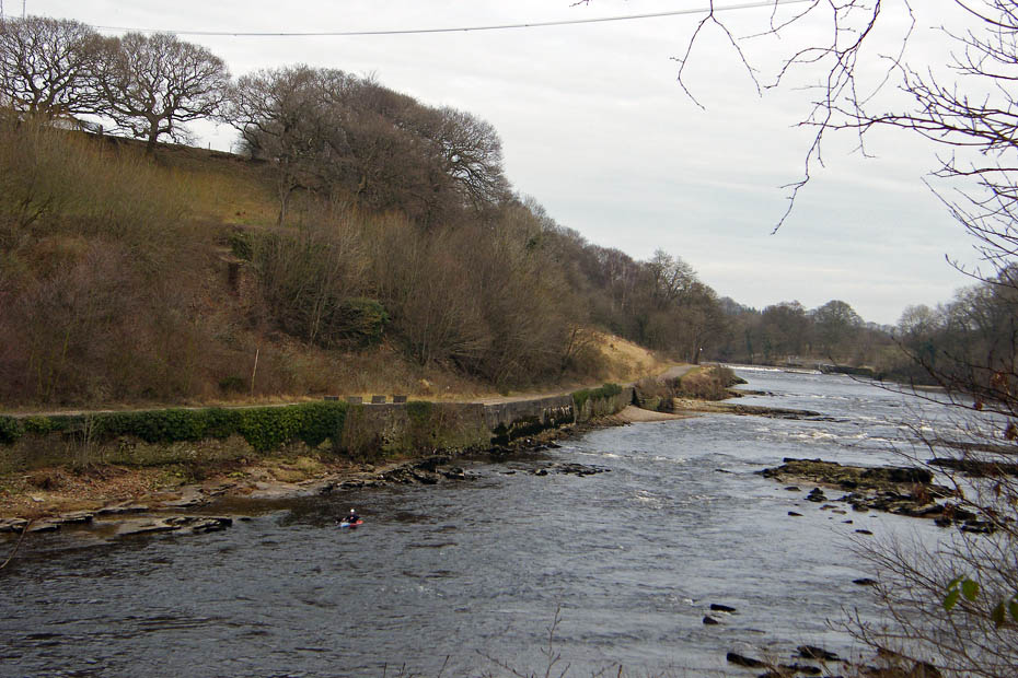
Back at the rapids and a lone canoeist.
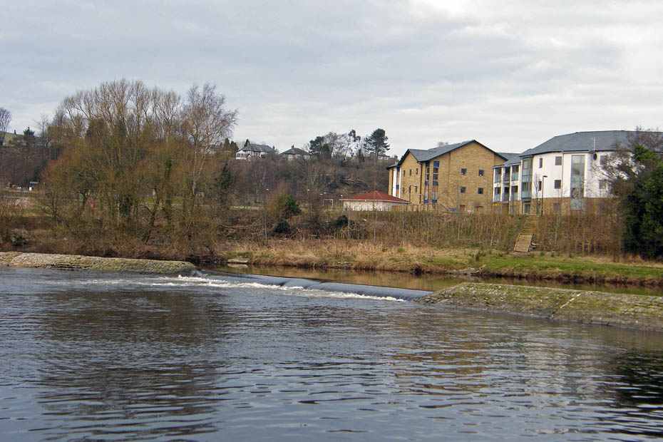
There used to be a number of mills on the opposite bank. Now long gone and replaced with apartments.
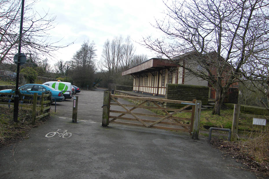
And finally....Back to the car park. The building used to be a railway station but is now used by Lancaster University rowing club.
Next Walk: 20th February 2009 -- Lake District (SE) -- Cunswick Fell
Last Walk: 1st February 2009 -- Arnside & Silverdale AONB -- Warton Crag from Leighton Moss
We hope you have enjoyed viewing this walk. If you have any comments please sign our Guestbook or E_Mail us
