
| Area: | SE Cumbria | Ascent: | 676feet |
| Walk No: | 258 | Time: | 1hour 45minutes |
| Date: | 21st March 2009 | Parking: | Roadside at Staveley |
| Distance: | 3.50miles | Weather: | Fine & Sunny but very hazy |
| Route: | Car - Reston Scar - Hugill Fell - Staveley - Car |
For those of you that are thinking of going onto the hills I would strongly recommend that you read the advice given by the Mountain Rescue organisation of England and Wales. To read this advice, which will open in a new page please click HERE. If you would like to make a donation to the Mountain Rescue organisation which is purely voluntary please click HERE. Please make the time to read the advice page.
It was so hazy as we drove up the A6 near Milnthorpe that the bulk of Farleton Fell was barely visible. I very nearly diverted to Arnside but decided to give it a chance and thankfully as we approached the Plumgarth roundabout the sun broke through to disperse some of the mist but unfortunately not all.
Please remember to sign the petition to give V.A.T Exemption to the Mountain Rescue Service. There is a link on the Homepage or do it right now by clicking HERE it will open in a new page. It will only take a minute or two.
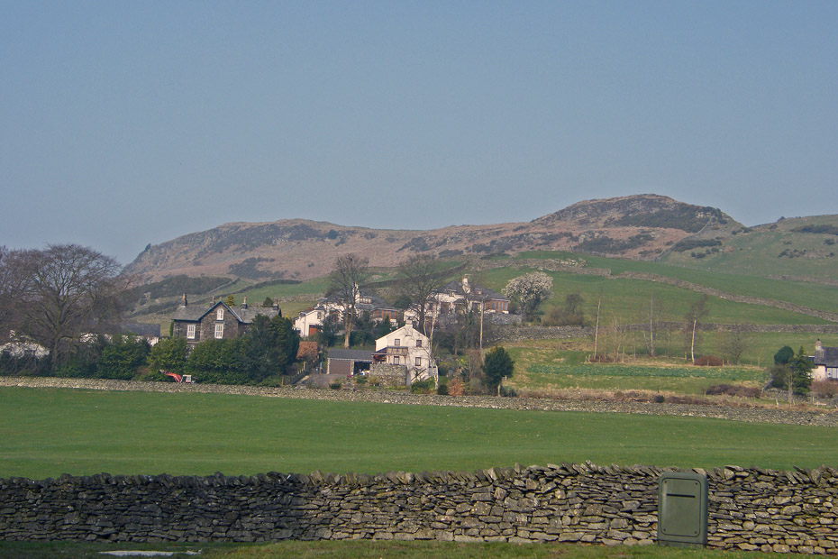
Reston Scar from where we parked the car.
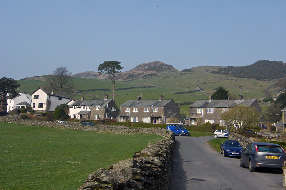
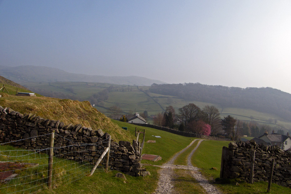
Walking up School Lane to gain access to the fellside.
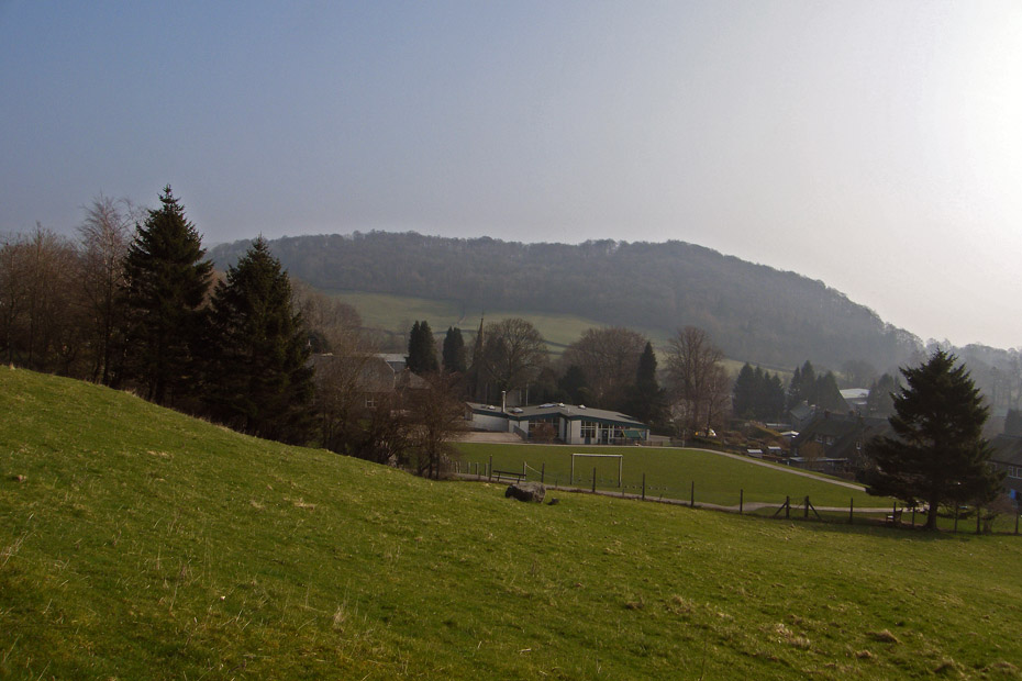
Gaining a little height as we look over the school to Craggy Plantation.
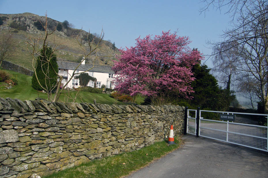
This flowering Cherry Tree added a little colour at Sunny Bank.
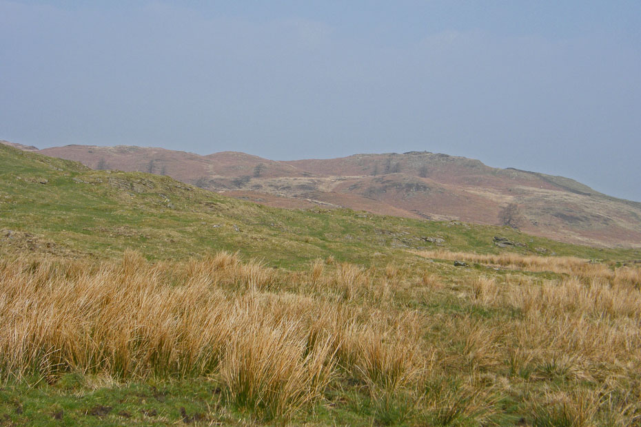
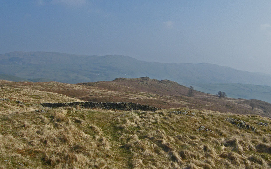
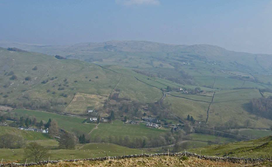
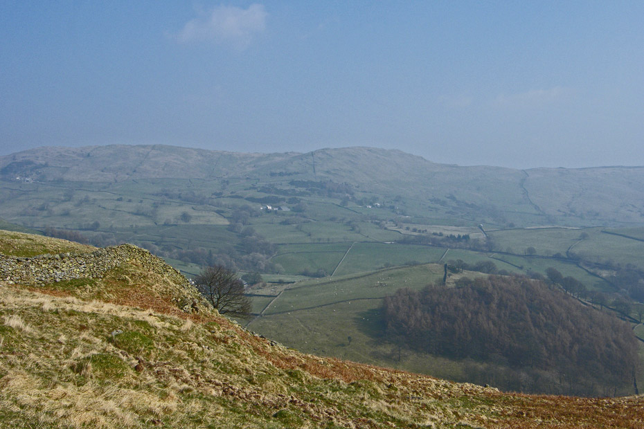
Another look back at an hazy Potter Fell behind Craggy Plantation.
A first sighting of the Wainwright summit on Hugill Fell.
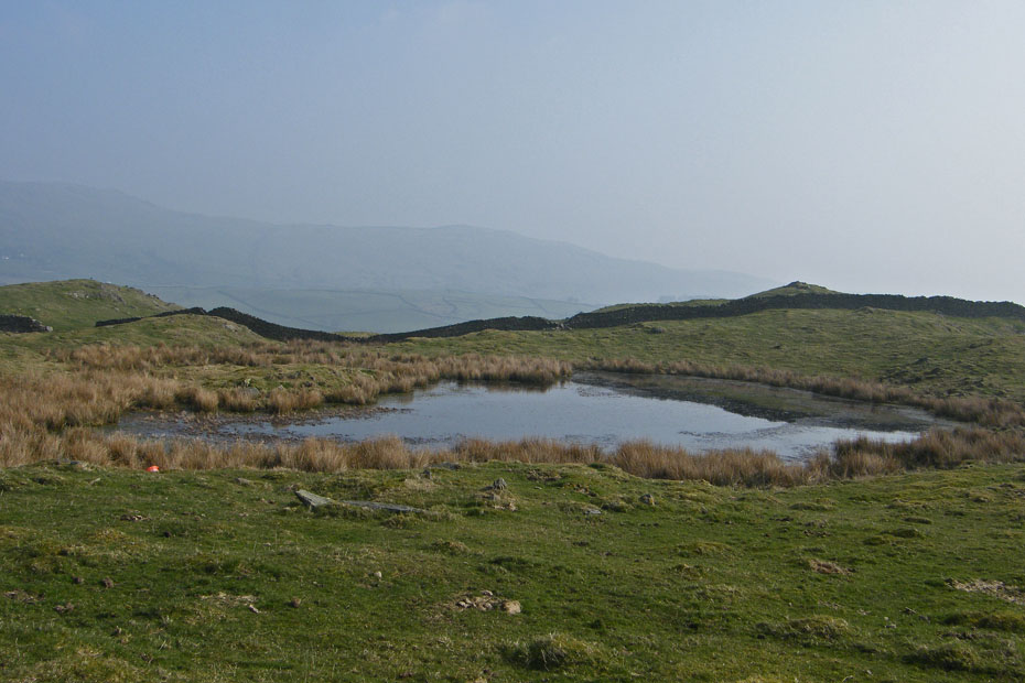
Kemp Tarn
Edith on Reston Scar summit. It was getting quite warm now and time for the fleeces to be removed.
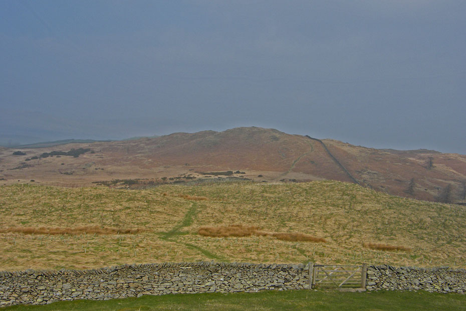
Looking towards the highest point on Hugill Fell, our next objective....
And to the Wainright summit on Black Crag.
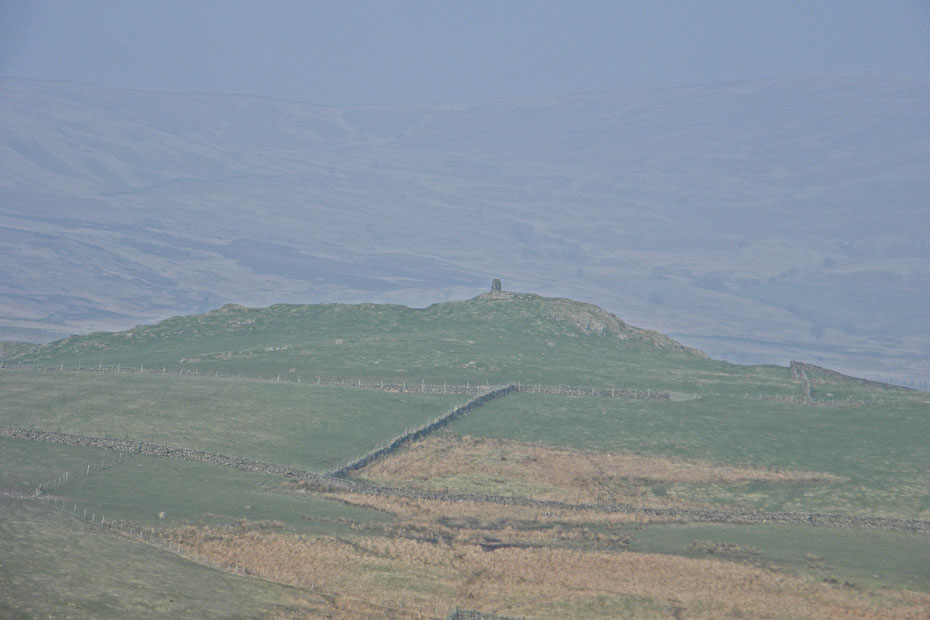
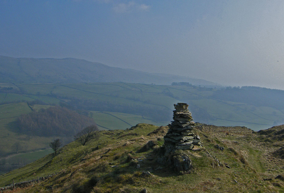
A close up of the cairn on High Knott known as Williamson's Monument with a very hazy Sallows in the distance.
Without close up. The cairn on Hugill Fell.
After a short stroll e arrived at the Wainwright top.
Looking across the valley to Brunt Knott.
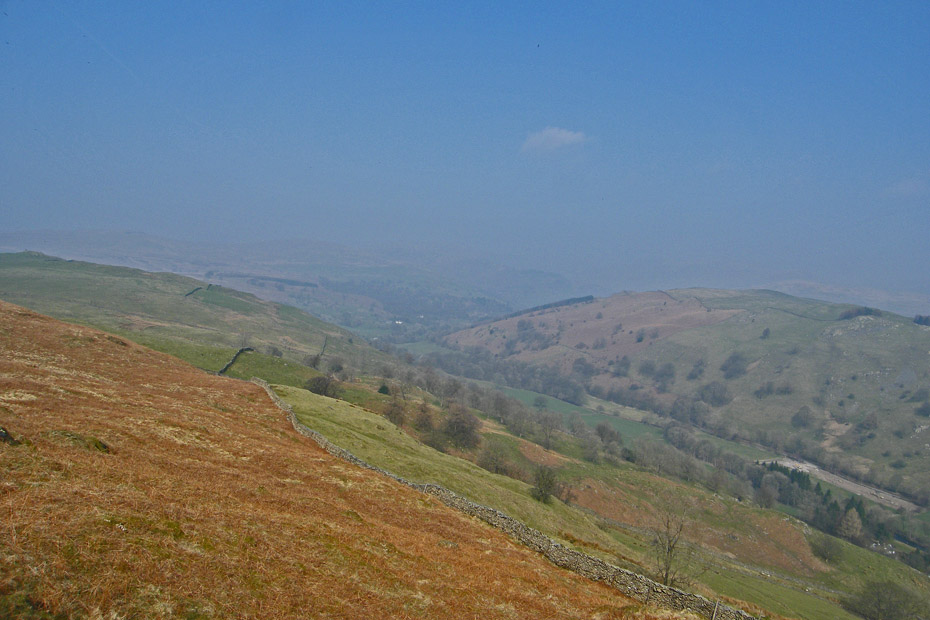
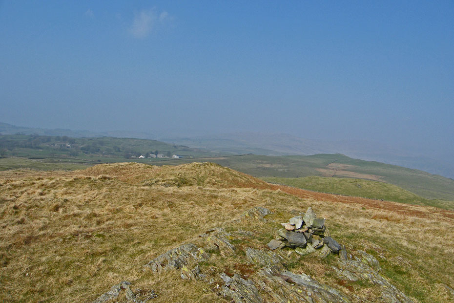
Not a lot to be seen looking up the valley
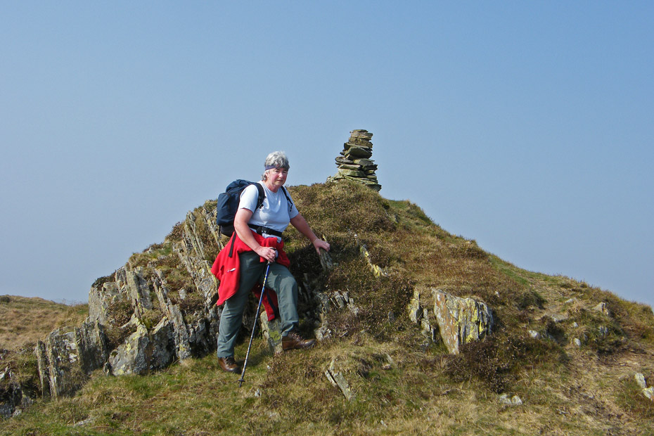
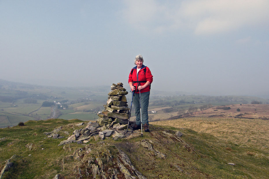
Edith at the Wainwright summit.
Looking across the valley as we start to descend.
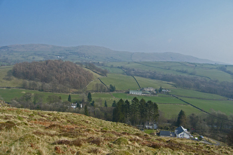
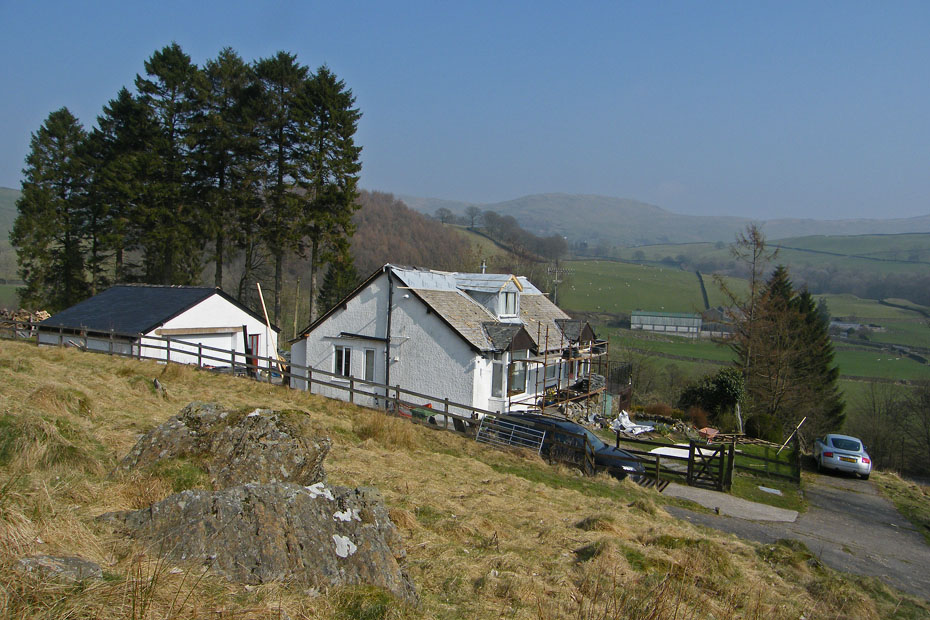
Nearly down and the bungalow is getting a new roof.
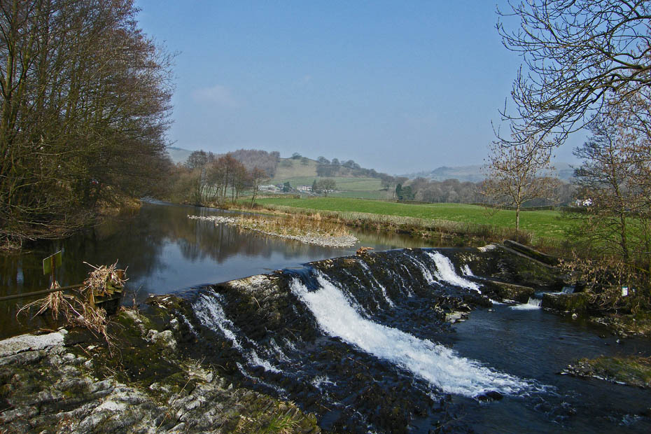
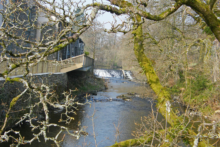
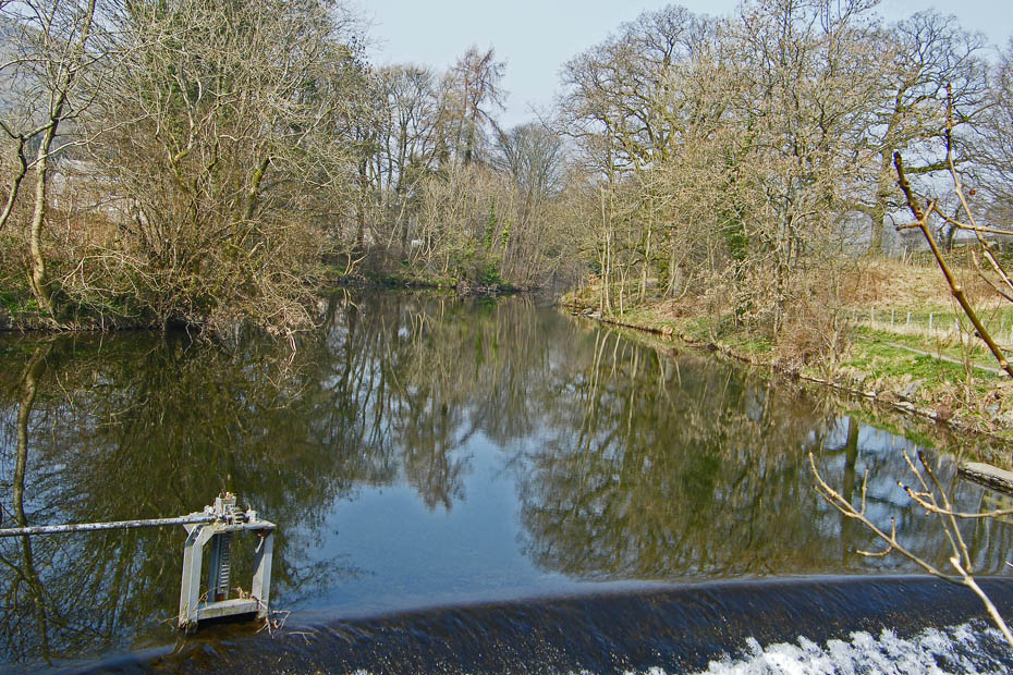
The weir near Barley Bridge as we return to Staveley.
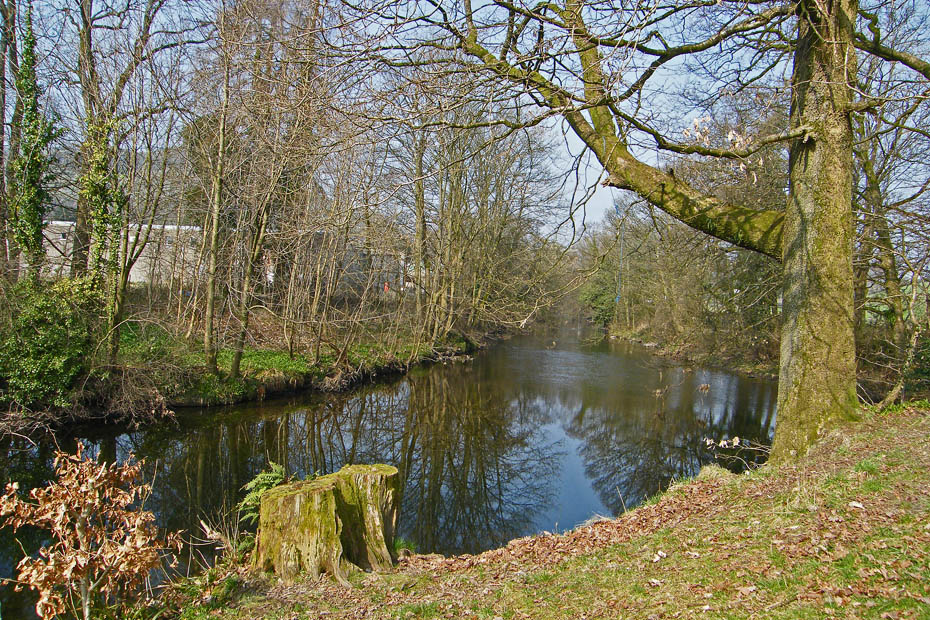
River Kent reflections.
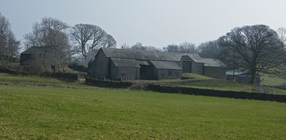
Staveley Park
Looking towards the lower weir and salmon run as we cross the footbridge.
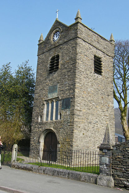
St Margaret's Tower
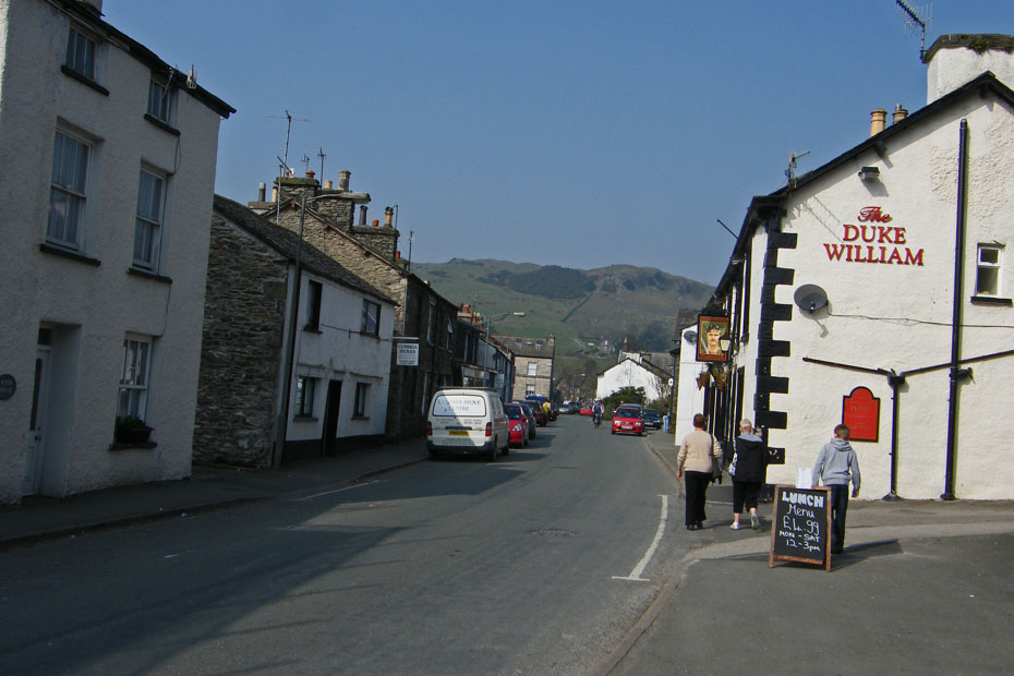
Staveley village. This was once the main road into the Lakes.
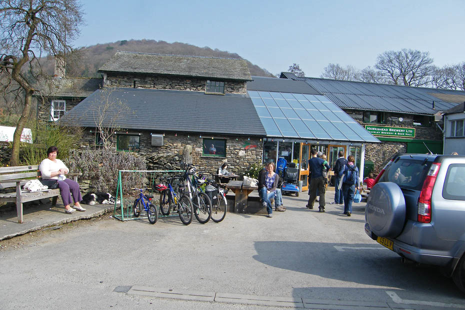
Time for a cuppa at Wilfs Cafe.
And lucky enough to get a riverside table before we returned to the car.
Next Walk: 23rd March 2009 -- Local -- Warton Crag & the Three Brothers
Last Walk: 19th March 2009 -- SE Lakes -- A circuit of Rydal Water
We hope you have enjoyed viewing this walk. If you have any comments please sign our Guestbook or E_Mail us or try out the new forum facility HERE
