| Area: | Lake District | Ascent: | 1060feet |
| Walk No: | 292 | Time: | 3hours 15minutes |
| Date: | 12th August 2009 | Parking: | Just off the B5278 near Haverthwaite (SD345836) |
| Distance: | 5.25miles | Weather: | Fine but overcast |
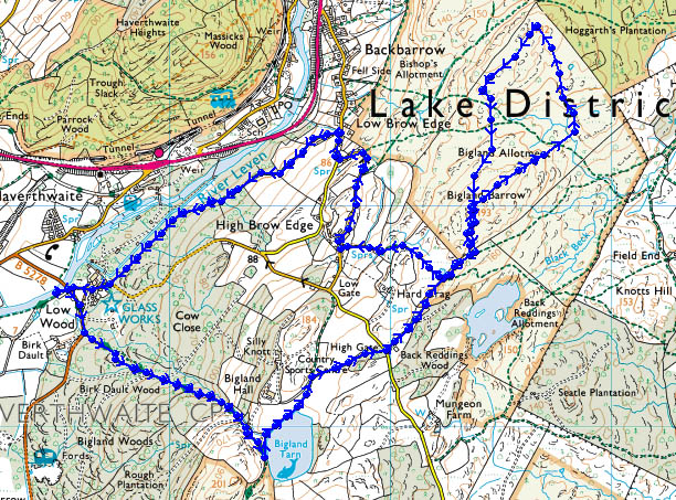
| Route: | Car - Bigland Tarn - High Gate - Bigland Barrow - 585' (182m) - Bigland Barrow - High Brow Edge - Low Brow Edge - Car |
For those of you that are thinking of going onto the hills I would strongly recommend that you read the advice given by the Mountain Rescue organisation of England and Wales. To read this advice, which will open in a new page please click HERE. If you would like to make a donation to the Mountain Rescue organisation which is purely voluntary please click HERE. Please make the time to read the advice page.
This is not the route described by A Wainwright in book "The Outlying Fells of Lakeland" but visits both the viewpoints mentioned in that book as well as Bigland Tarn futher to the SW. After the first short climb up to Bigland Tarn the route is easy walking although it can be wet underfoot in places. The best views are from the 585'(182m) point and best left for a clear day.
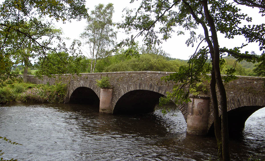
We parked near the River Leven where the B5278 Haverthwaite - Cark road crosses it. (Space for about 6 cars)
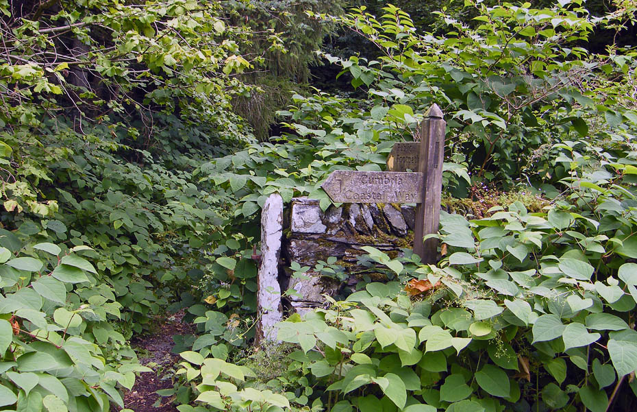
A couple of minutes along the road towards Cark brought us to this signpost for the Cumbria Coastal Way.
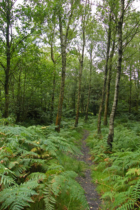
Around 500' of ascent through Birk Dault Woods
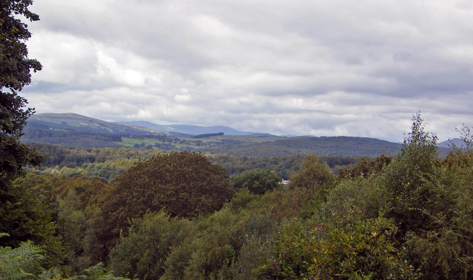
With an occassional break allowing views westwards
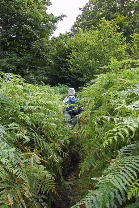
Sending Edith on first to clear the cobwebs
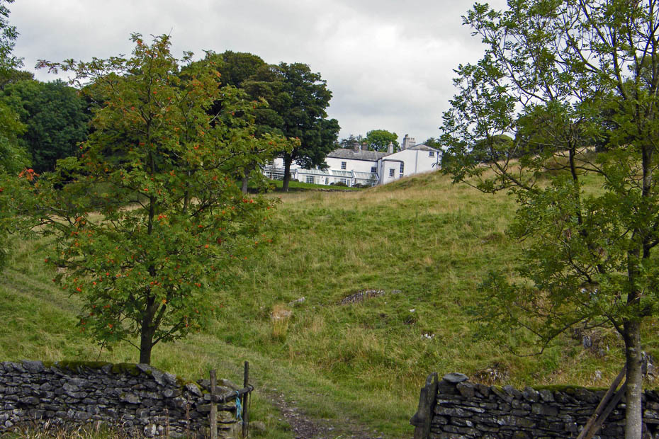
A partial view of Bigland Hall means we are near the top
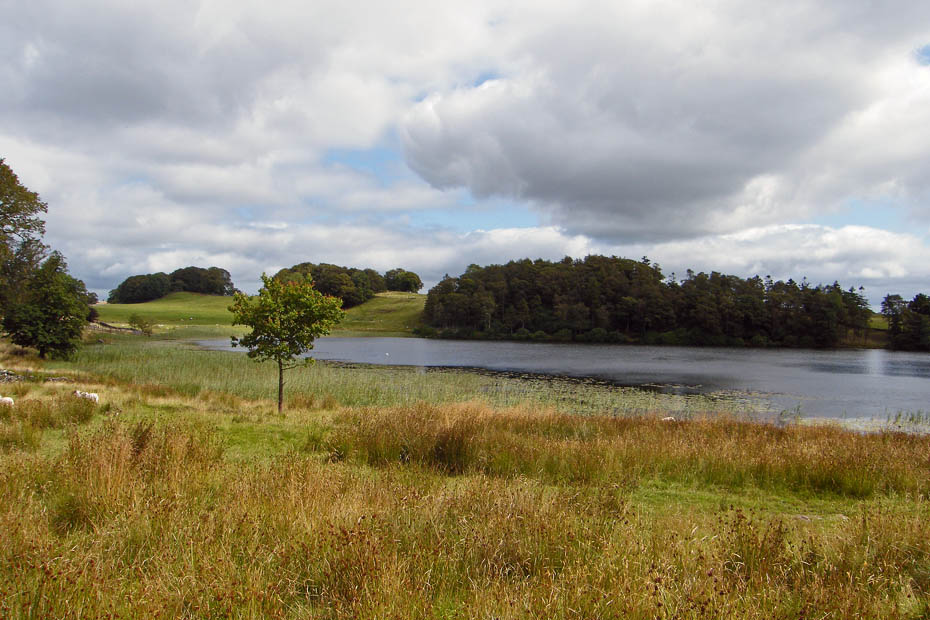
Bigland Tarn. A very popular fishing spot but today it was very quiet.
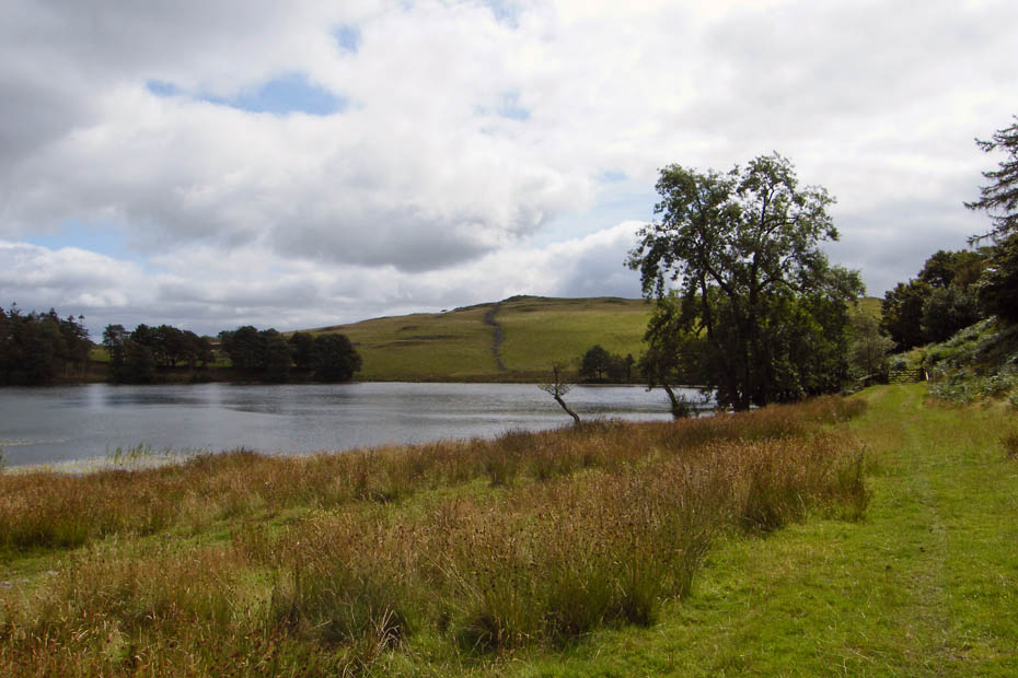
Looking across the tarn to Grassgarth Heights.
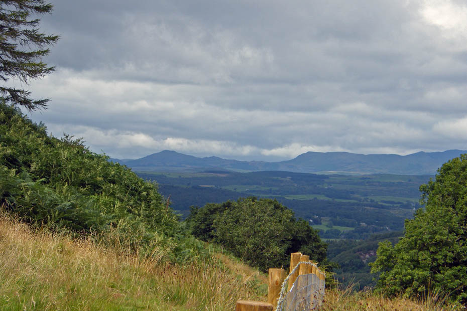
Westward to Caw, Pikes and White Maiden
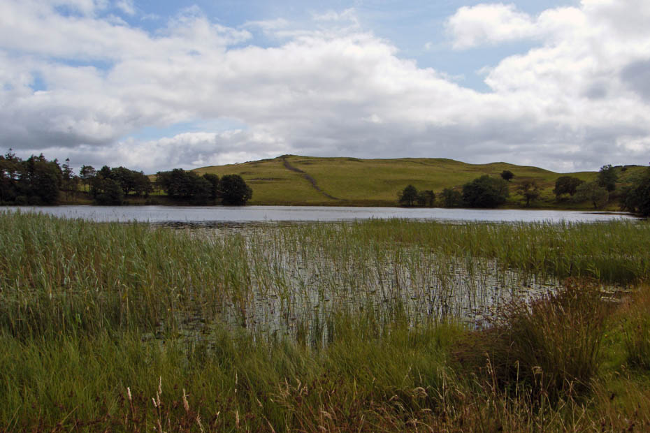
Our route took us N'wards alongside the tarn
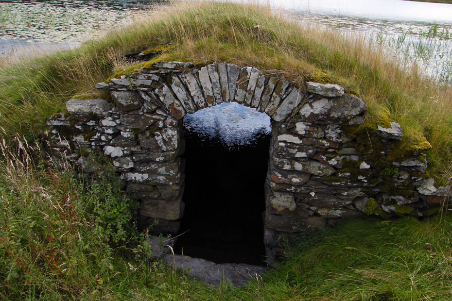
Passing this unusual boathouse along the way.
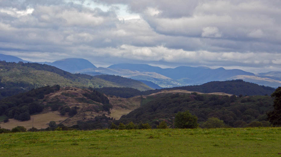
Here with have just turned off at the Country Sports Centre to go to High Gate with hazy views of the Eastern & Far Eastern Fells
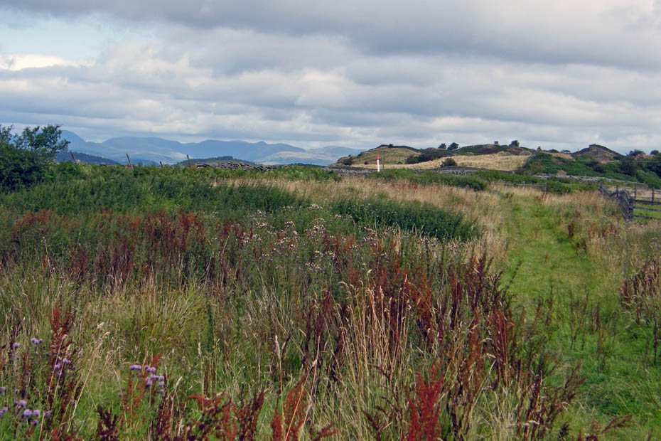
At High Gate cross the road to take the footpath opposite. Look carefully and you can see our next objective. It is the box-shaped structure about a quarter in from the right.
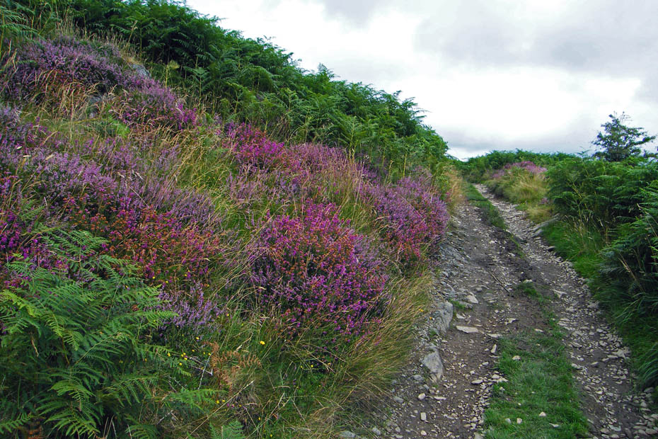
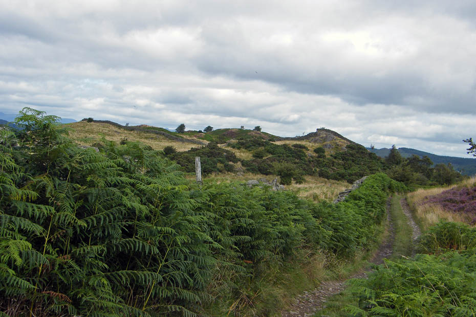
Our objective is now about midway on the skyline
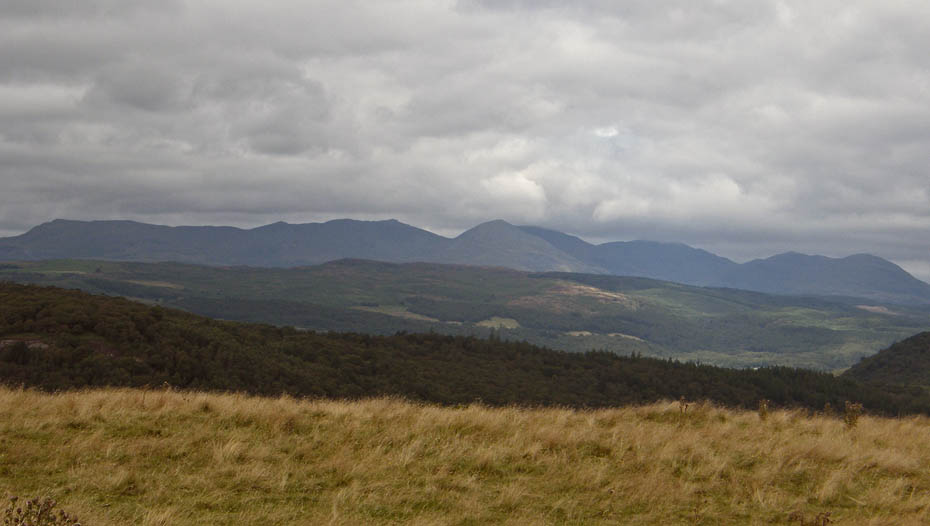
The Conistons
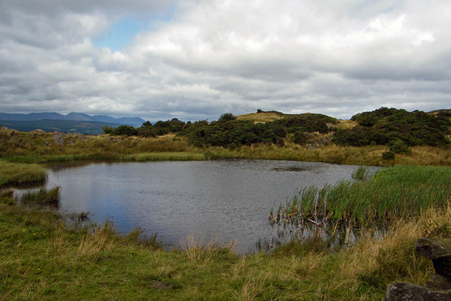
For those who must follow AW's routes this is the small unnamed tarn that he shows in his "Outlying Fells of Lakeland" book
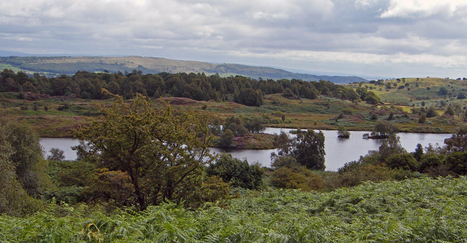
Another popluar fishing spot at Back Reddings Allotment
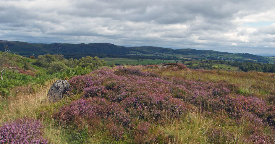
The Nwton Fells
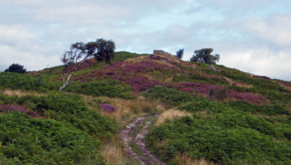
Just a liitle more puffing and panting
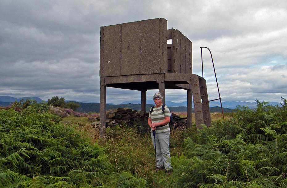
Made it!!......The war time observation tower on Bigland Barrow.
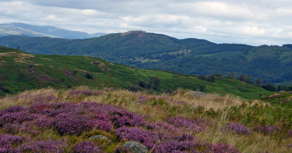
Gummer's How
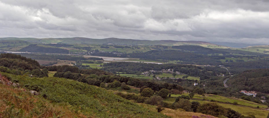
From the tower we made our way to AW's 585' point on the north end of the top trying to avoid as much wet ground as we could.
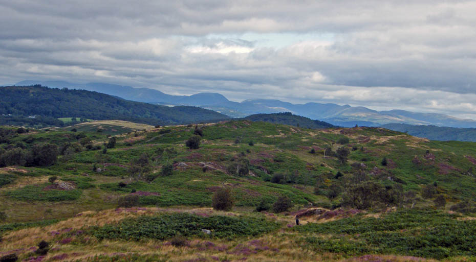
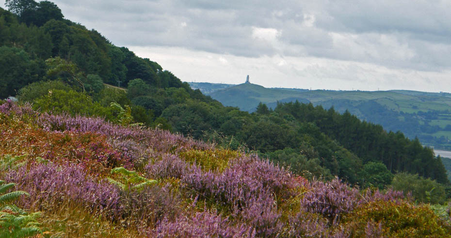
A glimpse of The Hoad at Ulverston as we make our way there.
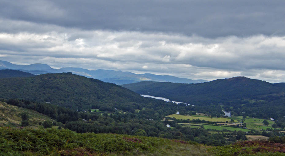
Looking nort from point 585'. Sadly not the views I was hoping for but just one of those days. From here the intention was to descend into the depression between here and the tower to pick up a path down to the road above Low Brow Edge. We could see the path as we descended but when we got to it found it to be very wet and slitchy. Not wishing for a repeat of our Devoke Water walk I decided to return to the small unname tarn and descend from there.
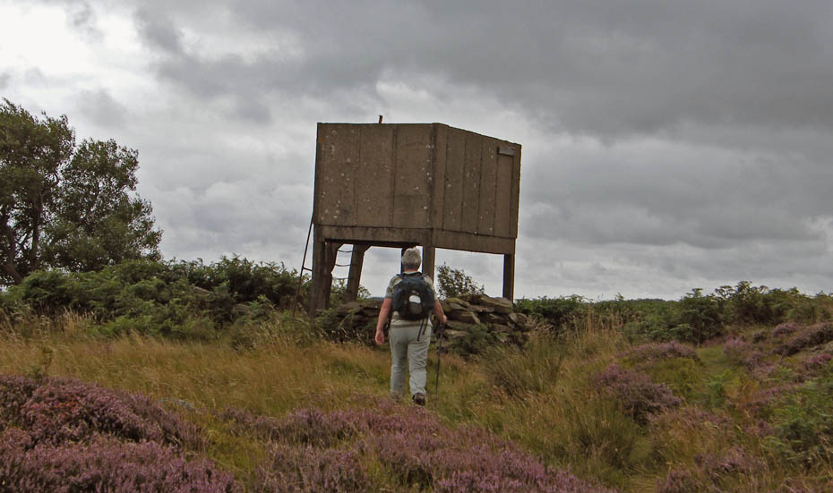
Observation Tower.....Take 2
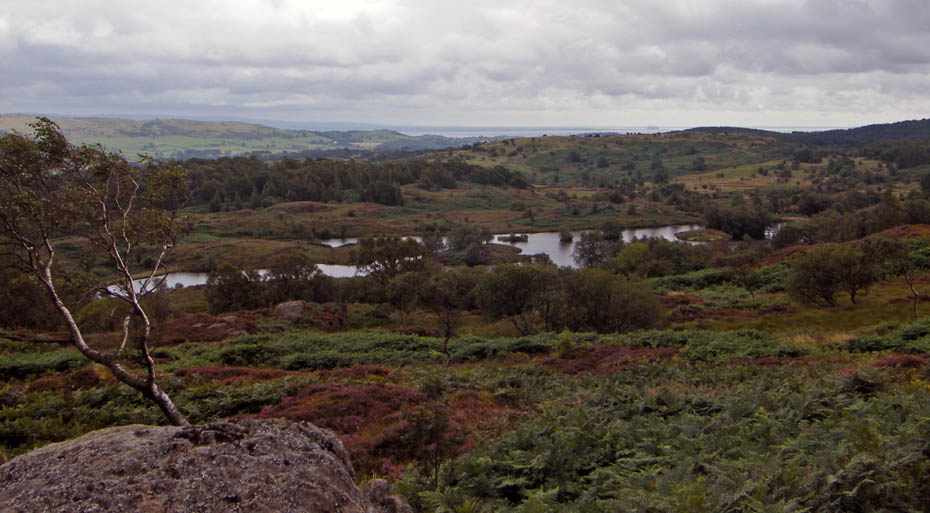
Back Reddings Allotment.....Take 2
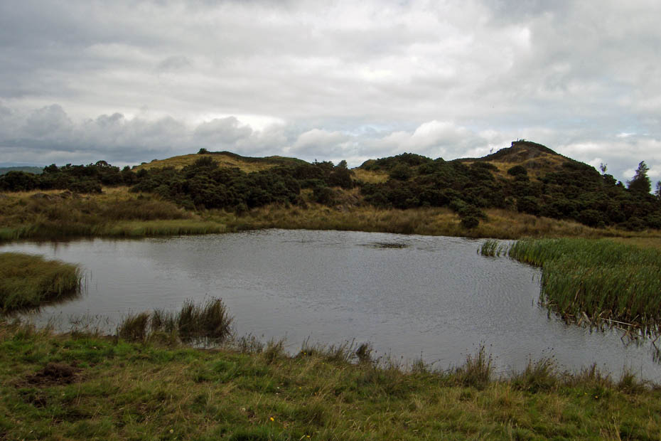
Small tarn...Take 2.....from here we followed a path down I think it was called School House Farm
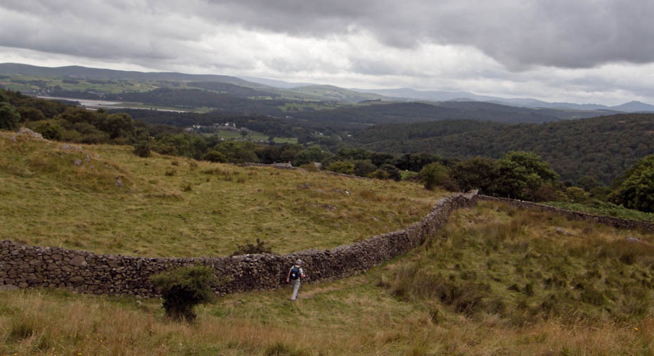
An easy path....and dry
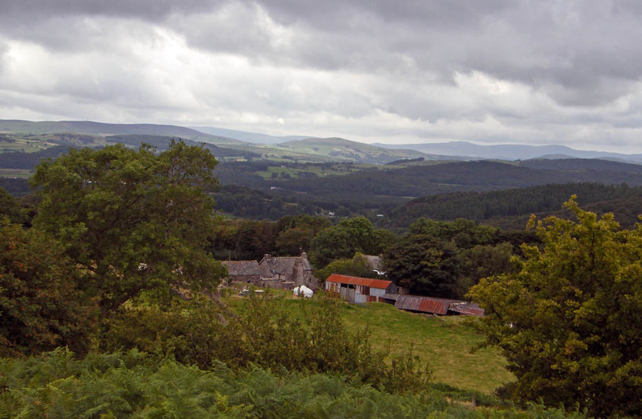
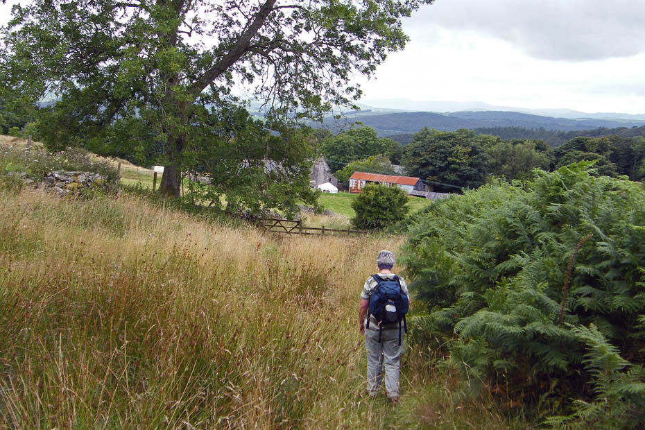
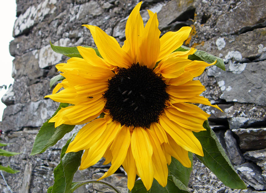
Sunflower and lodgers at the farm
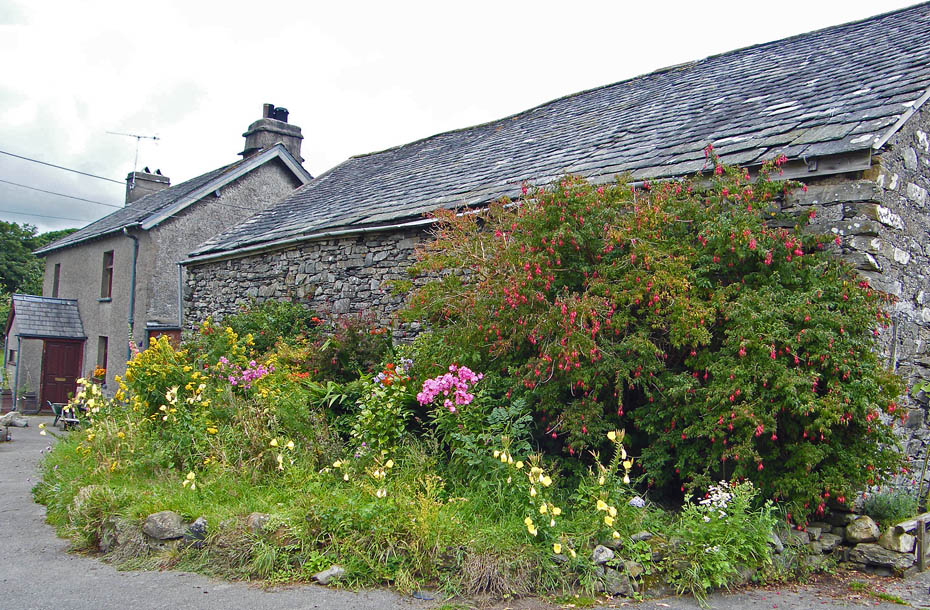
School House Farm...from here we walked along the road to Low Brow Edge
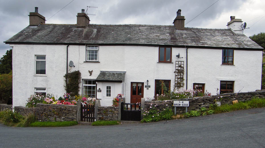
Just below these cottages we took a bridleway that would return us to the car.
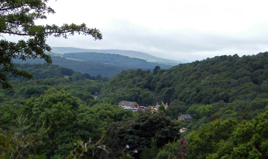
A glimpse of the Haverthwaite - Lakeside railway through the trees
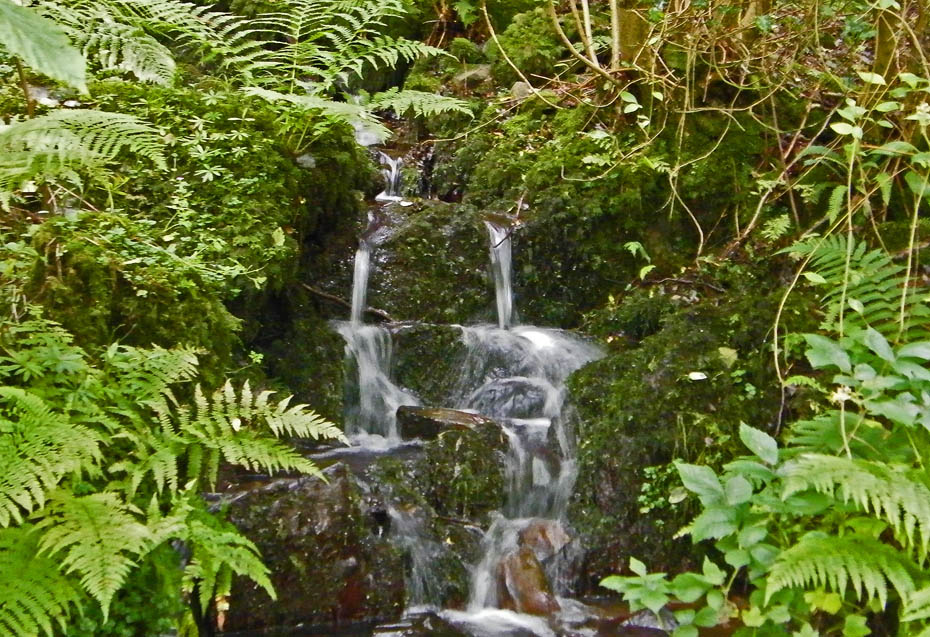
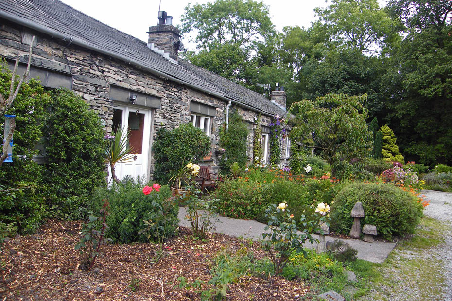
Leaving the bridleway
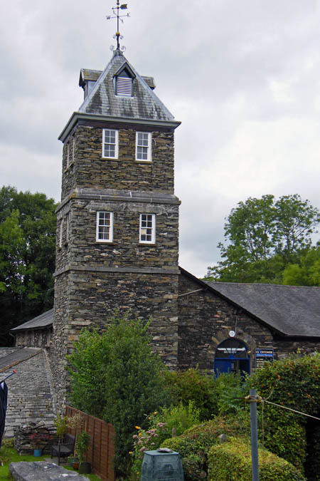
Not sure what this fine building used to be but it is now a discount electrical shop.
Added 18/08/09: Many thanks to Sean McMahon who informed me that originally the building was a gunpowder works....more info HERE
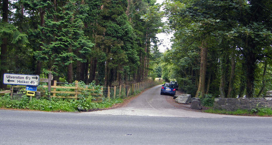
And finally ...back to the car.
Next Walk: 13th August 2009 - Lake District - Little Langdale from Elterwater
Last Walk: 9th August 2009 - Lake District - A walk around Witherslack
We hope you have enjoyed viewing this walk. If you have any comments please sign our Guestbook or E_Mail us.