
| Area: | Lake District | Ascent: | 1060 feet |
| Walk No: | 300 | Time: | 4hours 15minutes |
| Date: | 10th September 2009 | Parking: | Roadside at Grange in Borrowdale |
| Distance: | 6.75 miles | Weather: | Fine & Sunny |
| Route: | Grange - Tongue Gill - Seatoller - Longthwaite - Grange |
For those of you that are thinking of going onto the hills I would strongly recommend that you read the advice given by the Mountain Rescue organisation of England and Wales. To read this advice, which will open in a new page please click HERE. If you would like to make a donation to the Mountain Rescue organisation which is purely voluntary please click HERE. Please make the time to read the advice page.
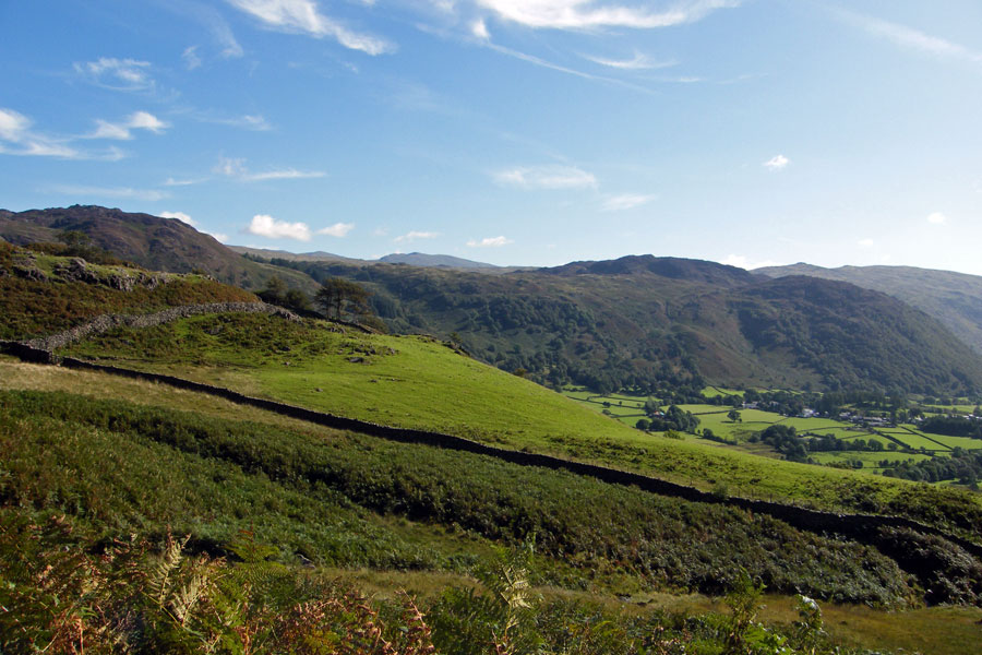
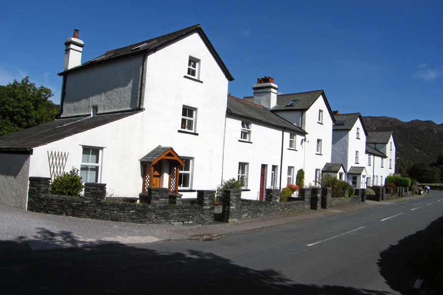
With a another glorious day forecast we had decided on a visit to Borrowdale. I decided to go up the A6 and through the Lakes rather than up the M6 and across to Keswick but forgot that it was the day of the Westmorland County Show. When we got to Milnthorpe the traffic was backed up down the A6 and it took us 40minutes to get through the village. However on arrival at Grange there was plenty of parking spaces on the roadside leading out of the village. Just a note about parking though, it is a narrow road and the residents do have to get in & out so please park thoughtfully.
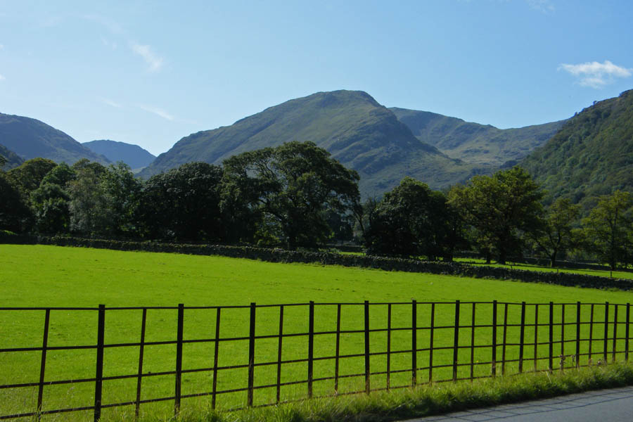
" The thick line forming a square has a special significance. It encloses one mile of country containing no high mountain, no lake, no famous crag, no tarn. But, in the author's humble submission it encloses the loveliest square mile in Lakeland - the Jaws of Borrowdale " ....A Wainwright...North Western Fells.
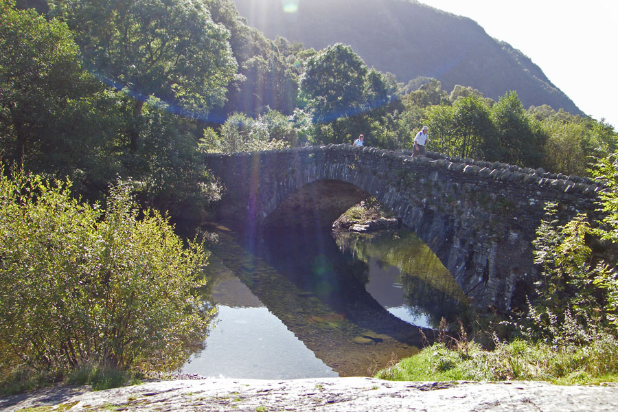
Sunshine on Grange bridge
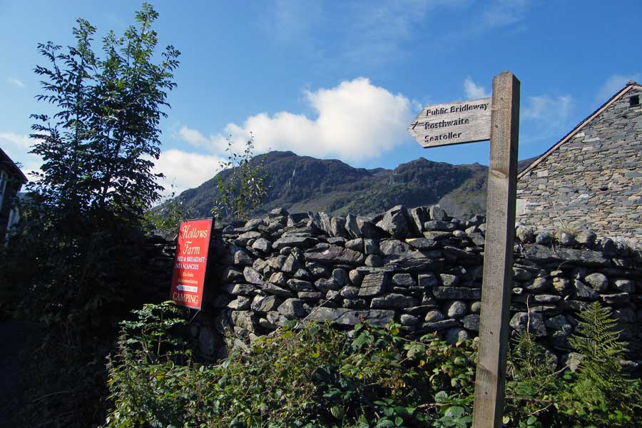
The start of the bridleway to Seatoller. It's adjacent to the cafe which may be handy later.
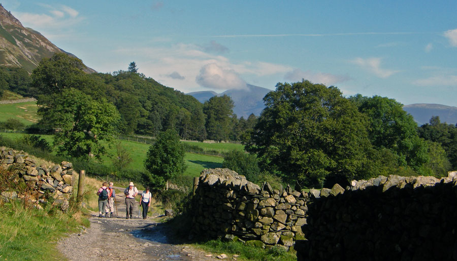
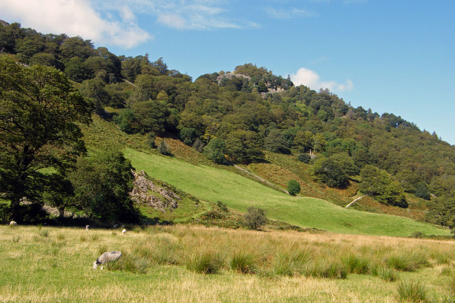
A lok back as we pass Hollows Farm
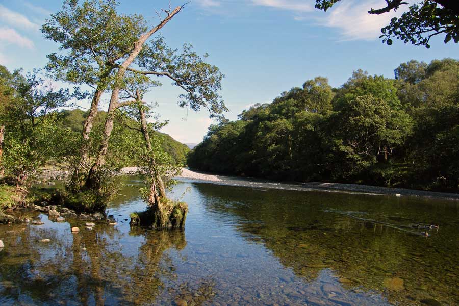
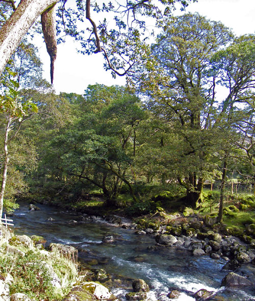
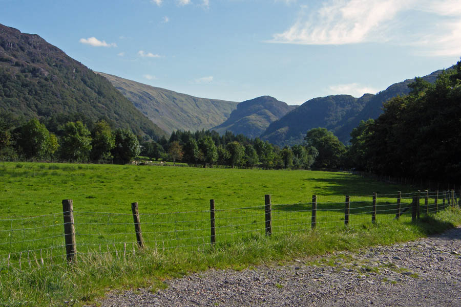
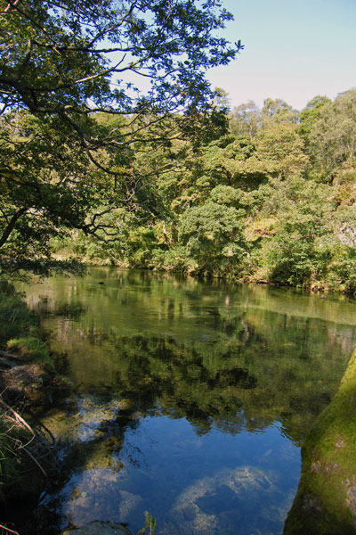
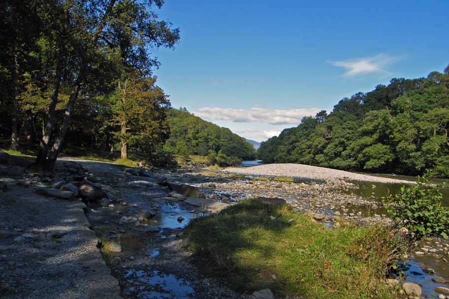
A peaceful River Derwent
Just after the last picture the path bifurcates (smashing word that), we take the right hand branch up Broadslack Gill. The other path will be our return route later in the day.
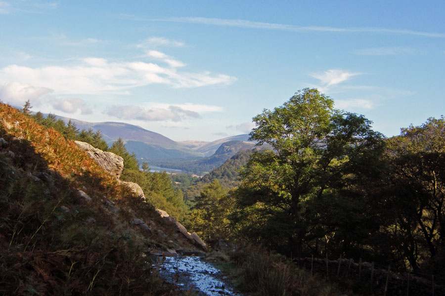
As we gain height the views behind us start to open up.
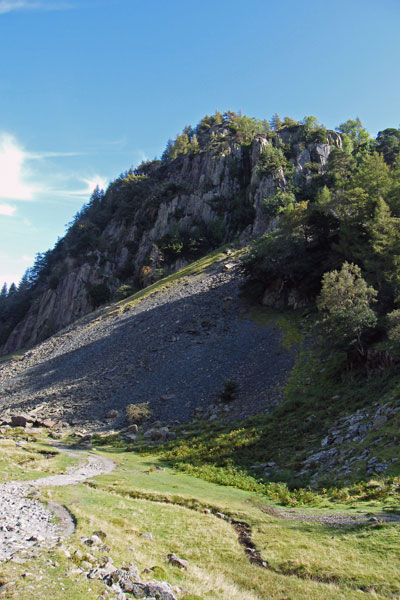
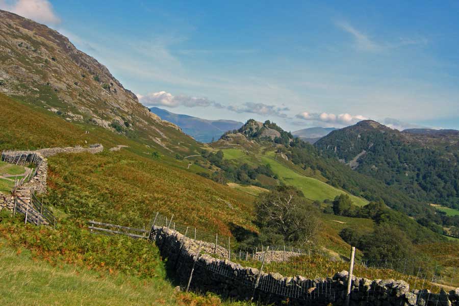
Around this point the path for Castle Crag takes off on the left
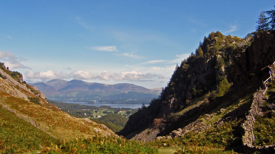
We are now at the highest point of the bridleway itself with Castle Crag to our right and Derwentwater and Skiddaw in front.
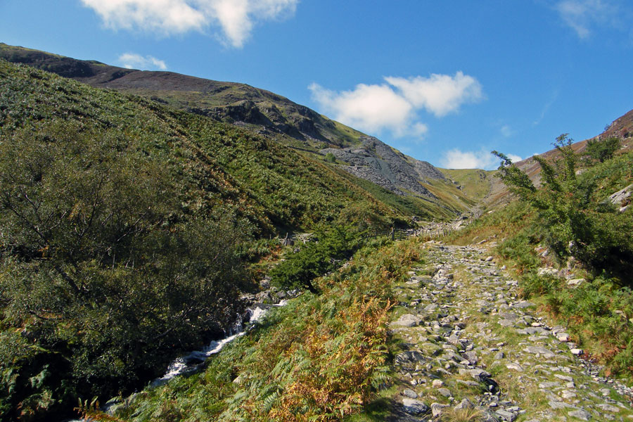
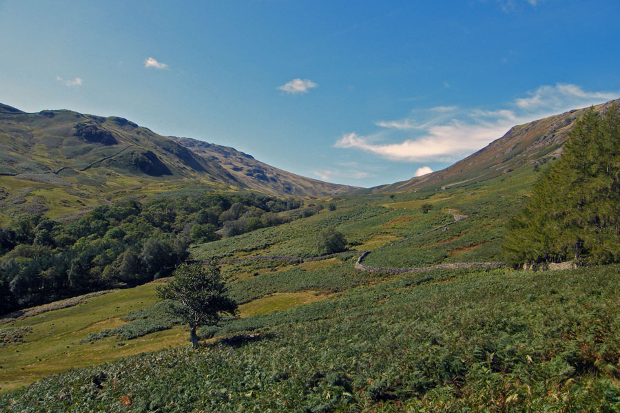
We left the bridleway for a while to walk up Tongue Gill a short way. We were last here in June 2007 when it was our descent route on a fantastic days walking. Such a lot as happened since.
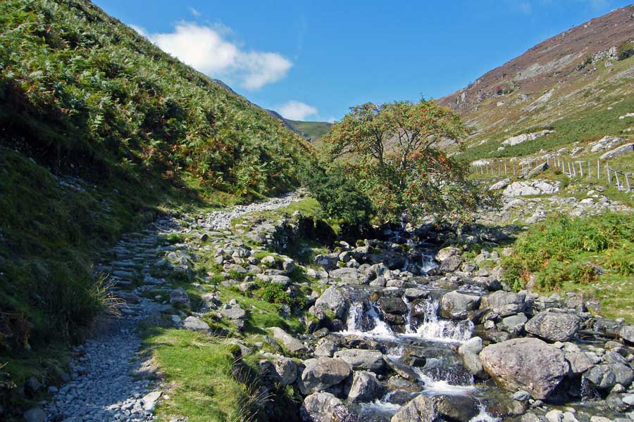
Having forded the Gill a little higher up we made our way down t'other side.
You can just see the footbridge on the main bridleway below us.
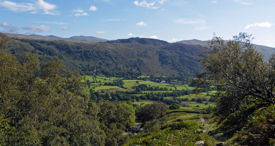
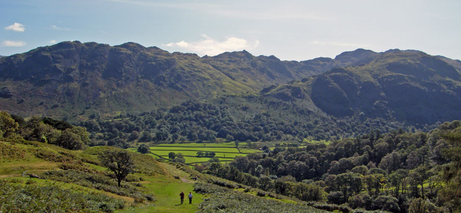
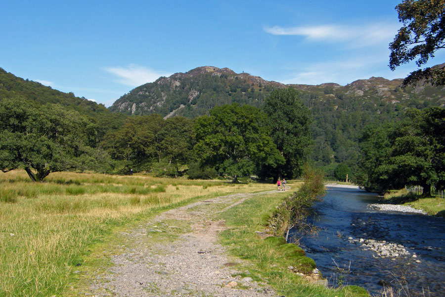
Taken into the sun and looking up Stonethwaite towards Eagle Crag.
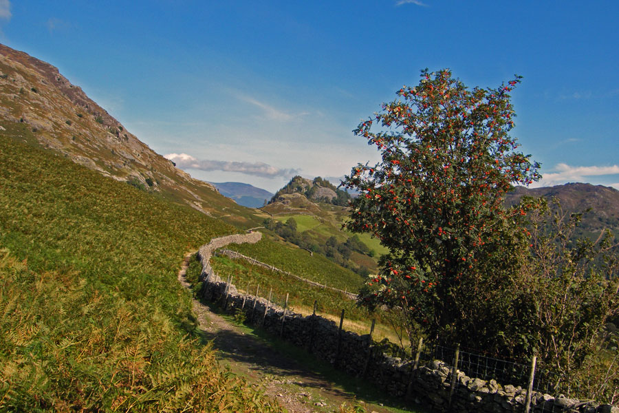
A colourful Rowan tree. There are so many berries on them this year.
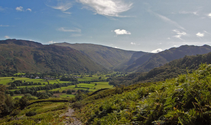
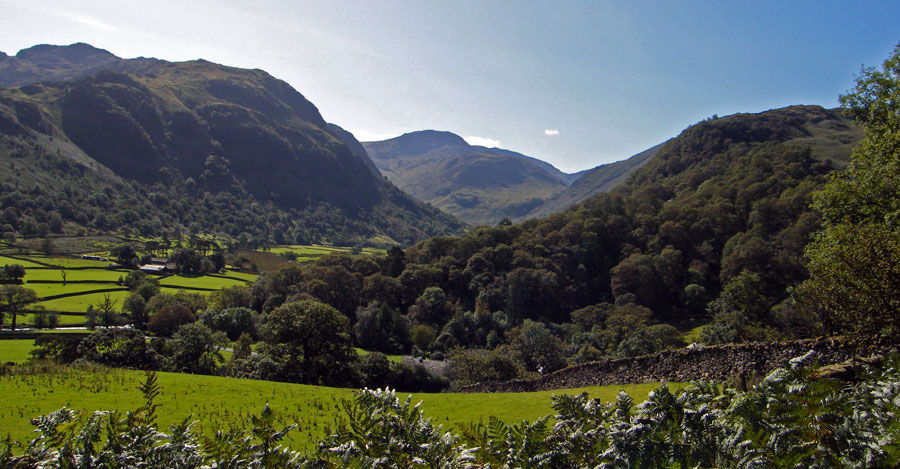
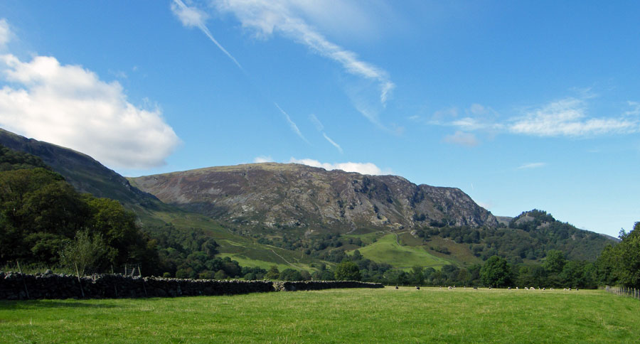
Castle Crag and Kings How with Blencathra between.
On the descent to Seatoller with Thornythwaite Fell and Rosthwaite Fell ahead.
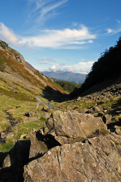
A look up the Honister Pass
Dropping down into Seatoller
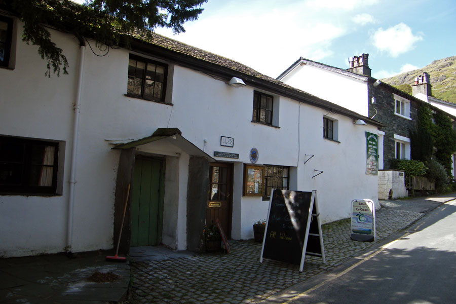
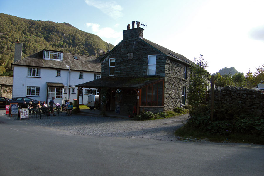
And refreshments!...It was very warm by now
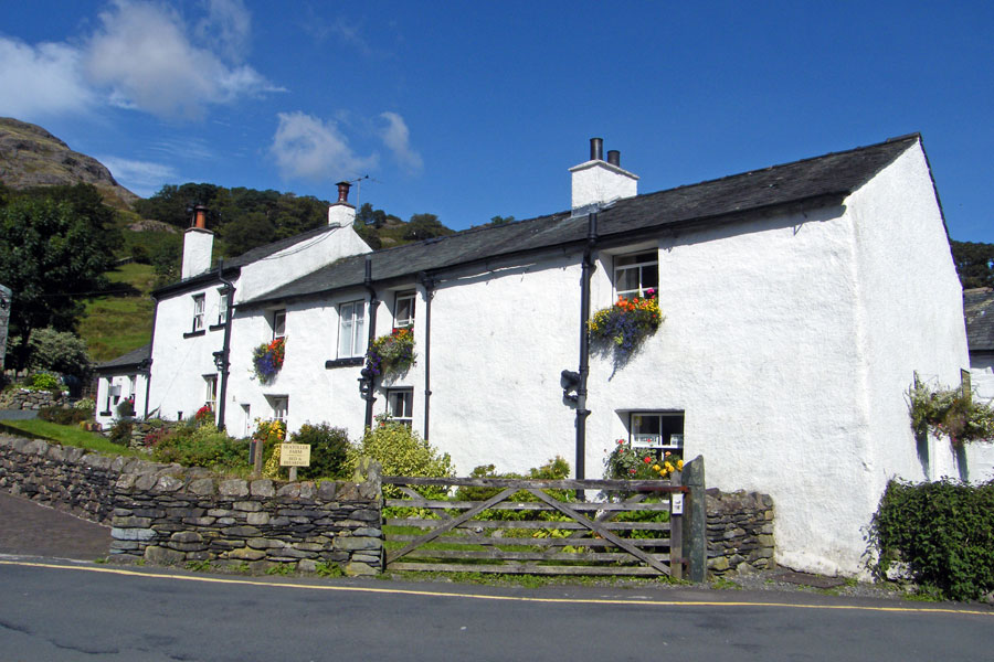
Seatoller Farm
Base Brown as we make our way to Mountain View
We left the road here to take the path over Folly Bridge to the Youth Hostel at Longthwaite
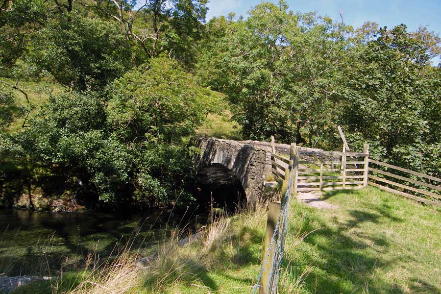
Folly Bridge
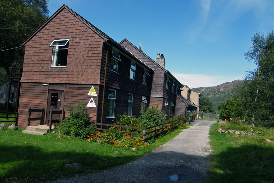
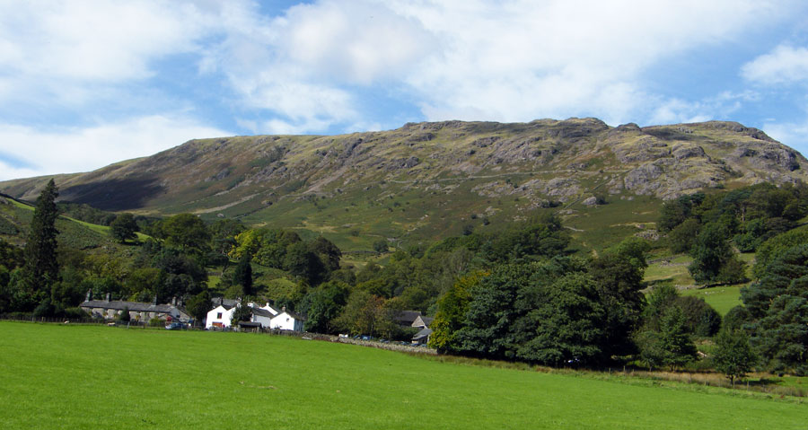
Borrowdale Youth Hostel at Longthwaite
Low Scawdel
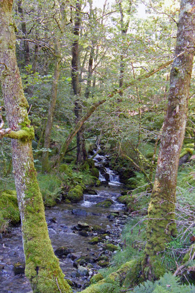
High Scawdel & Low Scawdel split by Tongue Gill
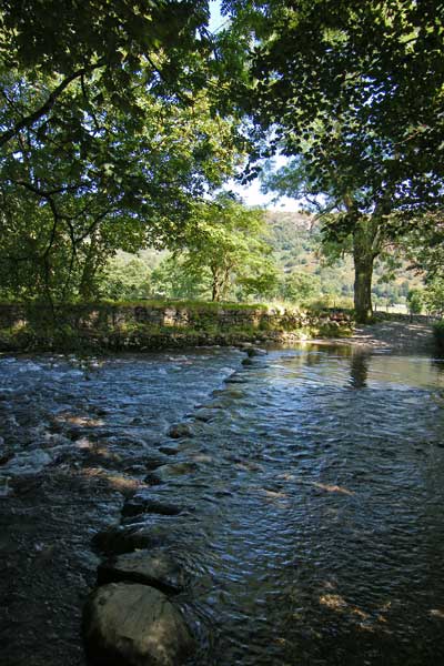
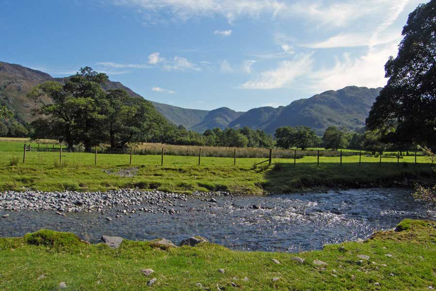
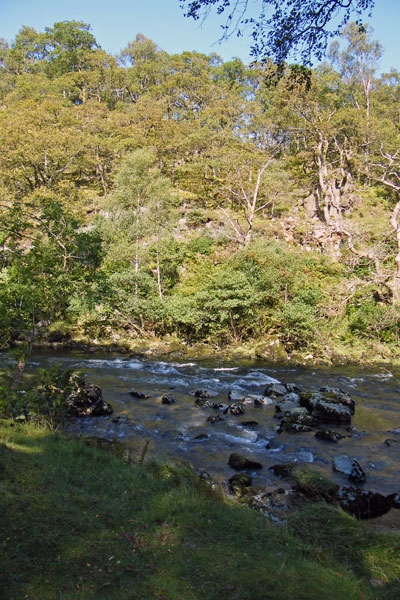
The ford across the River Derwent near Rosthwaite
Eagle Crag from the New Bridge
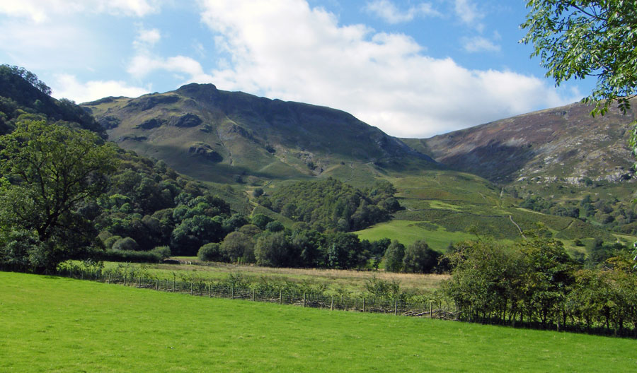
Looking up to Castle Crag
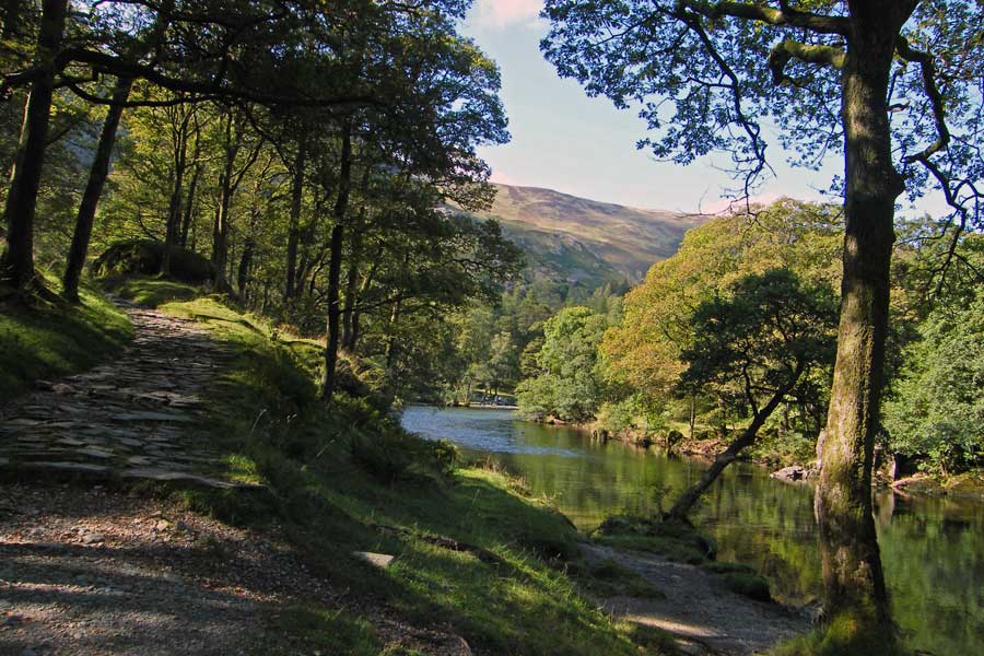
Kings How ahead as we follow the track of the Cumbria Way
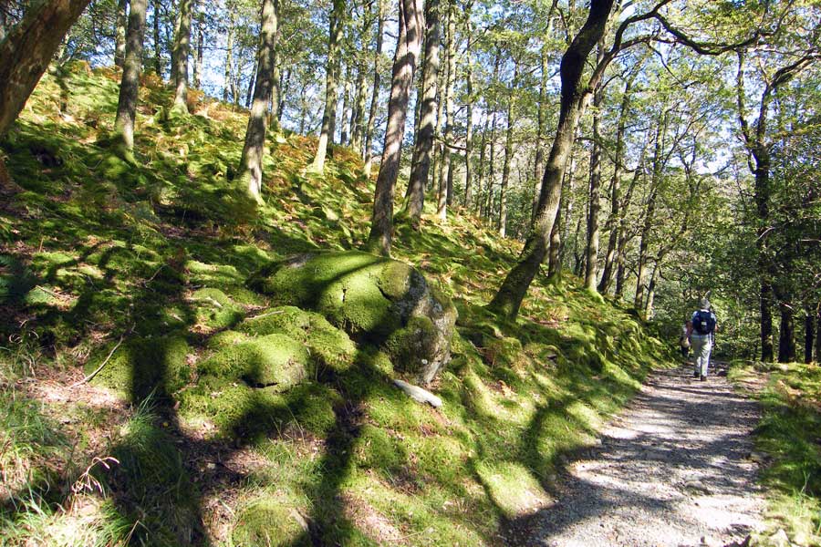
Wonderful mossy rocks catch the sun in High Hows wood
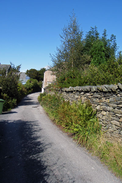
Rejoining our outward path
Back at Grange
No prizes for guessing where next!!
Next Walk: 12th September 2009 - Lake District - Beacon Fell & Tarn from Brown Howe
Last Walk: 9th September 2009 - Arnside & Silverdale AONB - Arnside Knott
We hope you have enjoyed viewing this walk. If you have any comments please sign our Guestbook or E_Mail us.
