| Area: | Lake District | Ascent: | 1160feet |
| Walk No: | 0310 | Time: | 4hours 30minutes |
| Date: | 7th October 2009 | Parking: | Roadside at Troutbeck near entrance to Limefitt Car |
| Distance: | 7.50miles | Weather: | Fine & Sunny to start more cloud later |
| Route: | Car - Ing Lane - Ing Bridge - Hagg Bridge - Troutbeck Park - Troutbeck Footbridge - Troutbeck Tongue - Long Green Head - Limefitt Park - Car |
For those of you that are thinking of going onto the hills I would strongly recommend that you read the advice given by the Mountain Rescue organisation of England and Wales. To read this advice, which will open in a new page please click HERE. If you would like to make a donation to the Mountain Rescue organisation which is purely voluntary please click HERE. Please make the time to read the advice page.
Another late start today meant no parking at Church Bridge but we were fortunate to squeeze into a space on the roadside near the entrance to Limefitt Park holiday park. My intention had been to walk up the valley to Troutbeck Park then up the west side of Troutbeck Tongue to its northern end then up the gentle slope to the summit. However when we reached the slate bridge I decided to just head up the slope to the summit a route we have done a number of times in the past. Regular readers will know that I have problems with my lungs and this short climb on mostly damp grass really found me out even though it is no more that 450feet. Anyway after a rest at the summit we made our way first northwards then down to pick up the bridleway on the east side of the Tongue to return via Long Green Head and Limefitt Park.
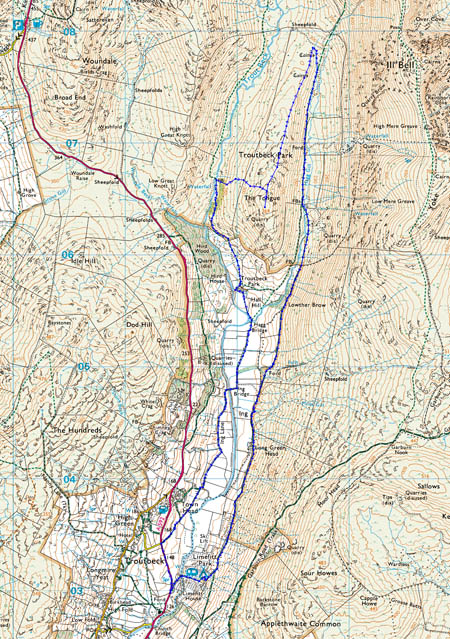
The route
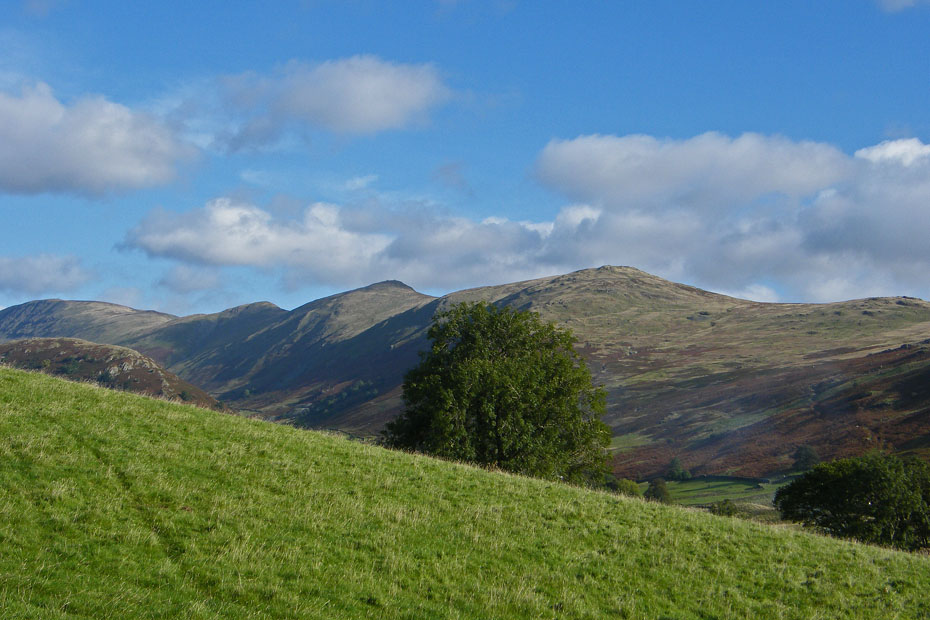
Yoke, Ill Bell, Froswick and Thornthwaite Beacon from where we left the car.
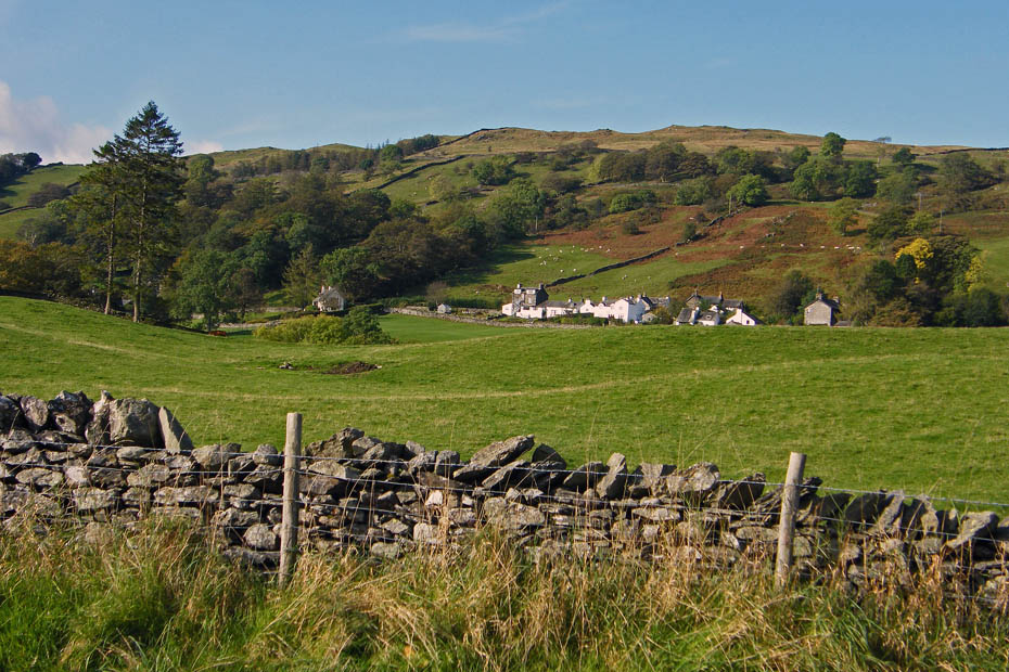
Troutbeck and the lower slopes of Wansfell from the car.
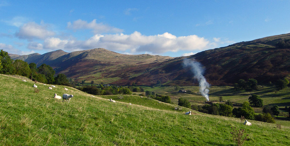
We walked a short distance up the road to take the bridleway to Ing Lane
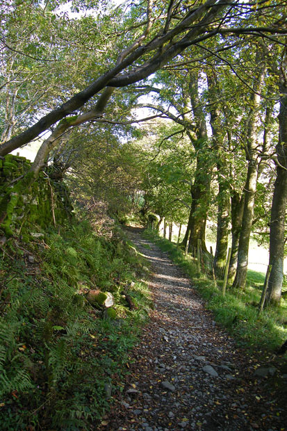
The bridleway avoids spending more time on the road.
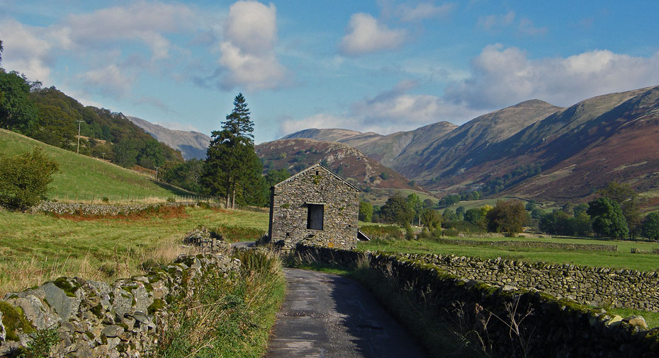
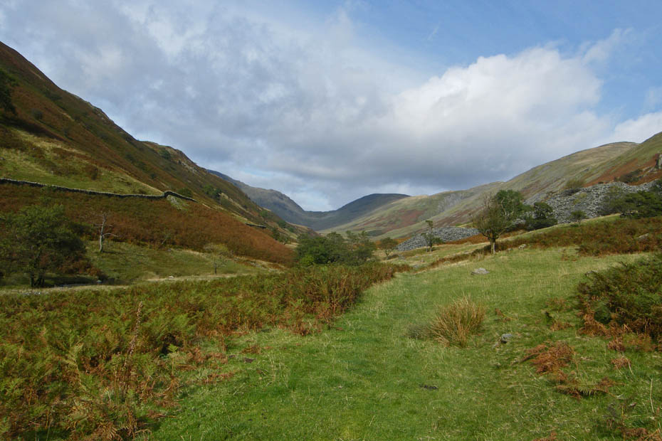
Having joined Ing Lane it was a pleasant walk up the valley with our objective ahead.
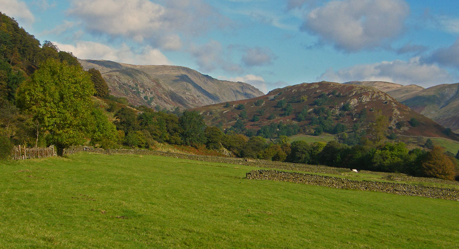
Troutbeck Tongue lays in the middle of the valley surrounded by higher fells.
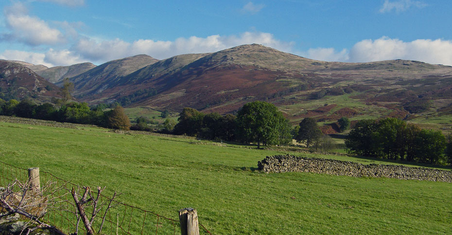
The western leg of the Kentmere Horseshoe
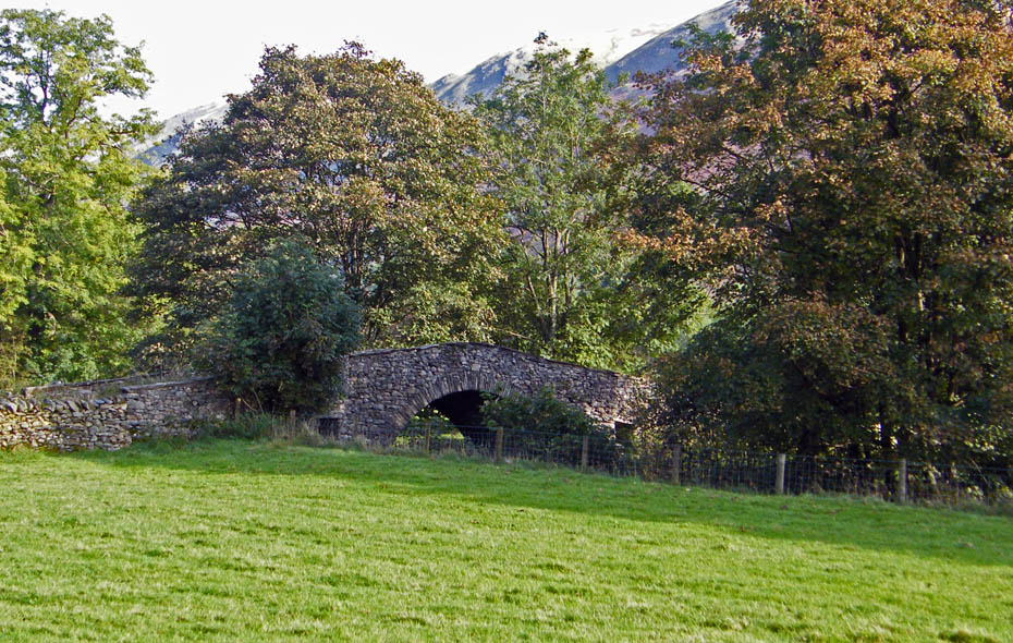
Approaching Ing Bridge
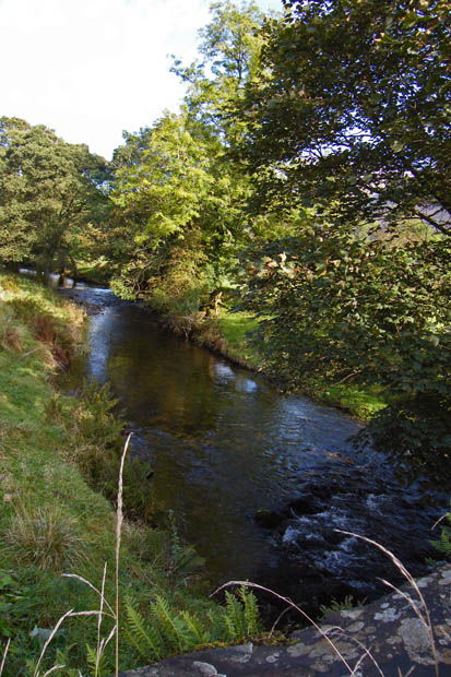
Trout Beck from Ing Bridge
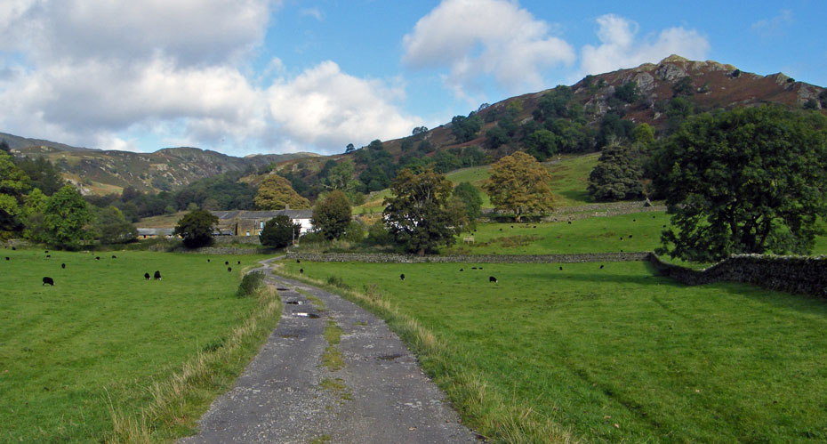
Approaching Troutbeck Park farm
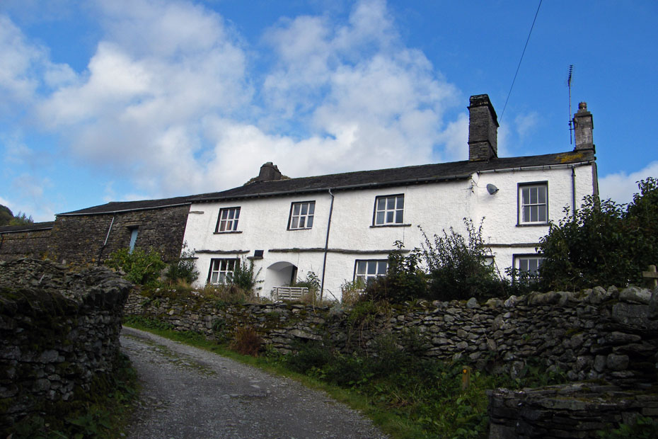
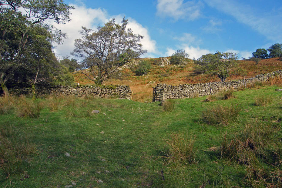
We walked through the farm to take a path up the western side of the Tongue
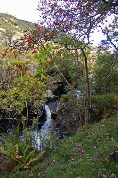
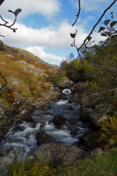
A short diversion from the path reveals some delightful small falls in Trout Beck
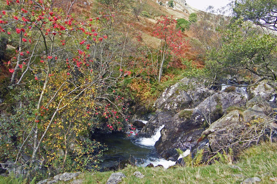
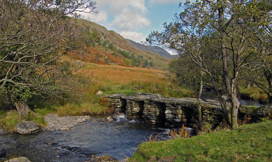
Before long we were at the old slate bridge. A change of plan here. Instead of crossing the bridge to walk up the valley I decided that we would just go straight up to the summit from here. There are no problems with this route, just an old wire fence to cross but it really found me out. It was a case of doing around 50 steps then having to stop gasping for air.
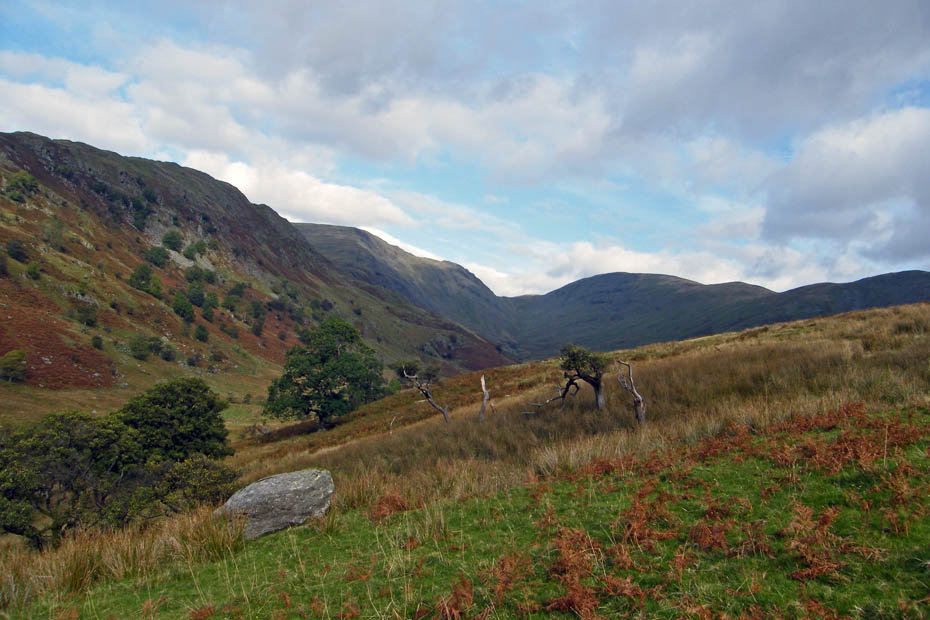
Fortunately as we gained height there were many reasons for stopping as the views up the valley opened up.
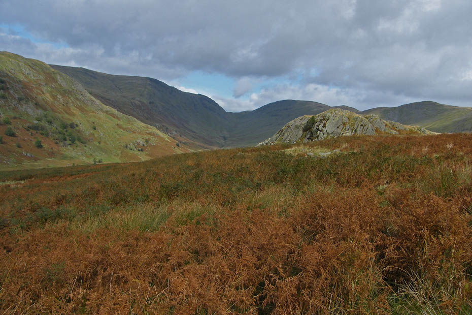
Almost there!!....and I'm cream crackered.
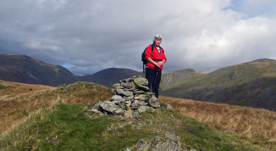
AW says of the summit "Apart from the view down the valley to Windermere, nothing here is worth comment"....Sorry but I tend to think the views up the valley are magnificent.
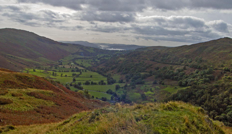
Into the sun, a look down the valley towards Windermere.
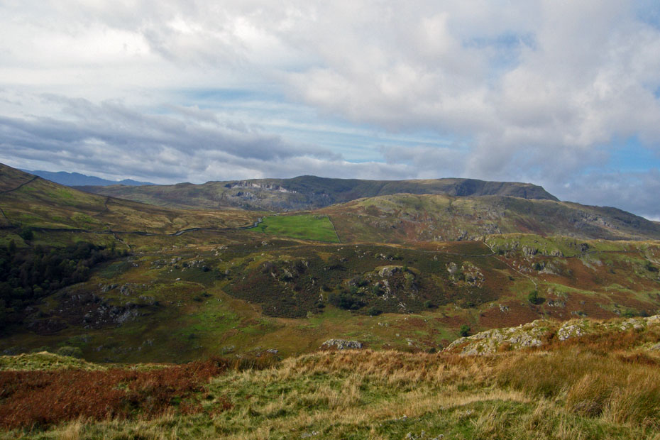
Looking over High Great Knott and Broad End to Red Screes with the Kirksone Pass road in view.
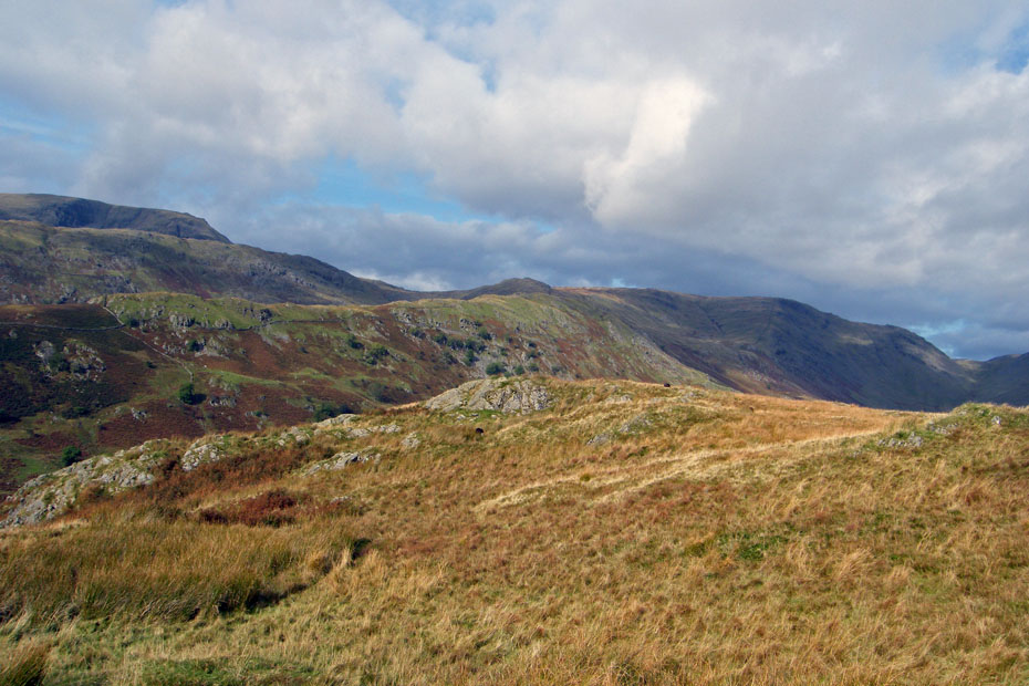
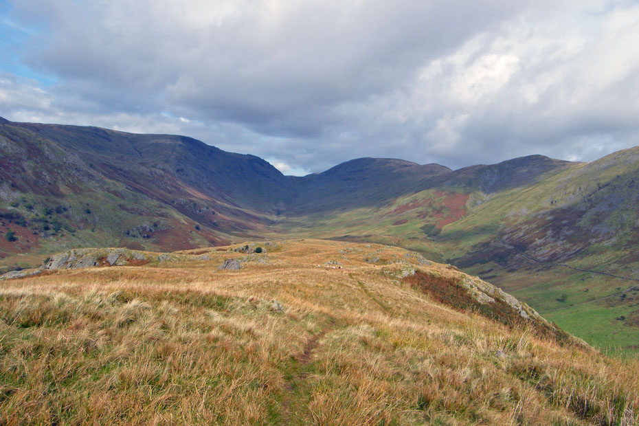
The short climb to the summit from the bridge had left me feeling a little weak and not too steady on my legs so any thought of a descent down the southern end were quickly shelved and a longer but easier route taken N'wards along the ridge before descending to the bridleway on the eastern side.
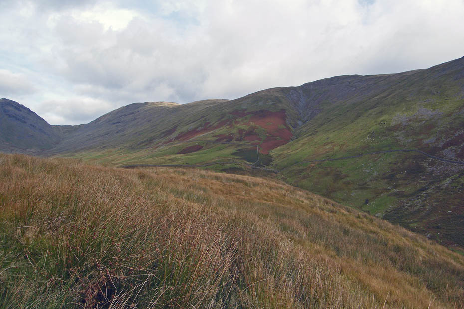
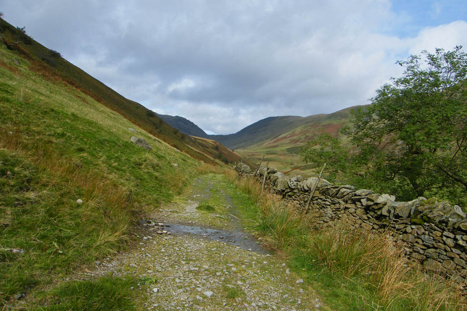
Down on the bridleway and looking back up the valley
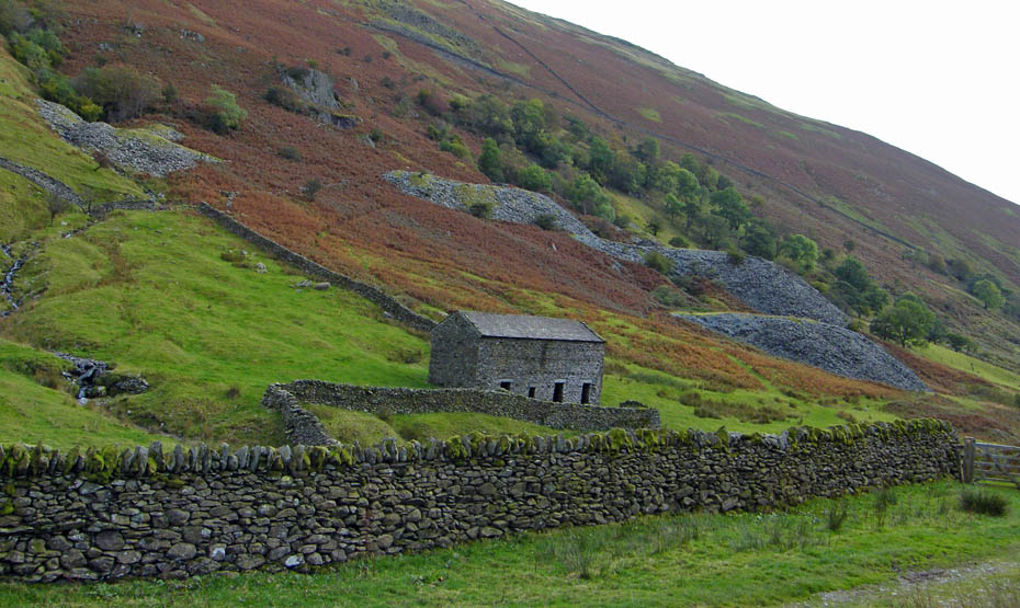
After having a break here I decided to return down the eastern side of the vallley rather than the same way as our outward leg
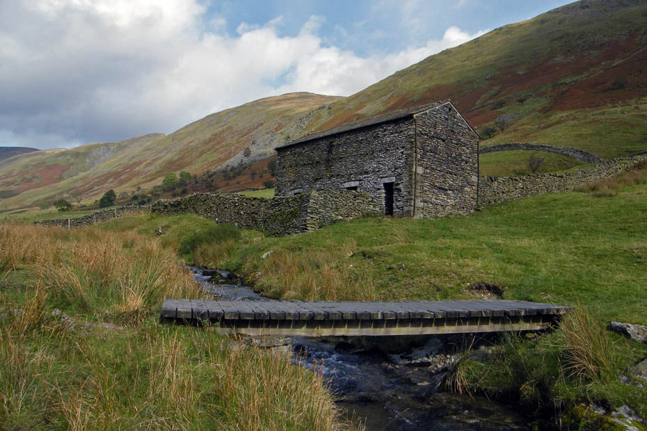
Crossing Hagg Gill
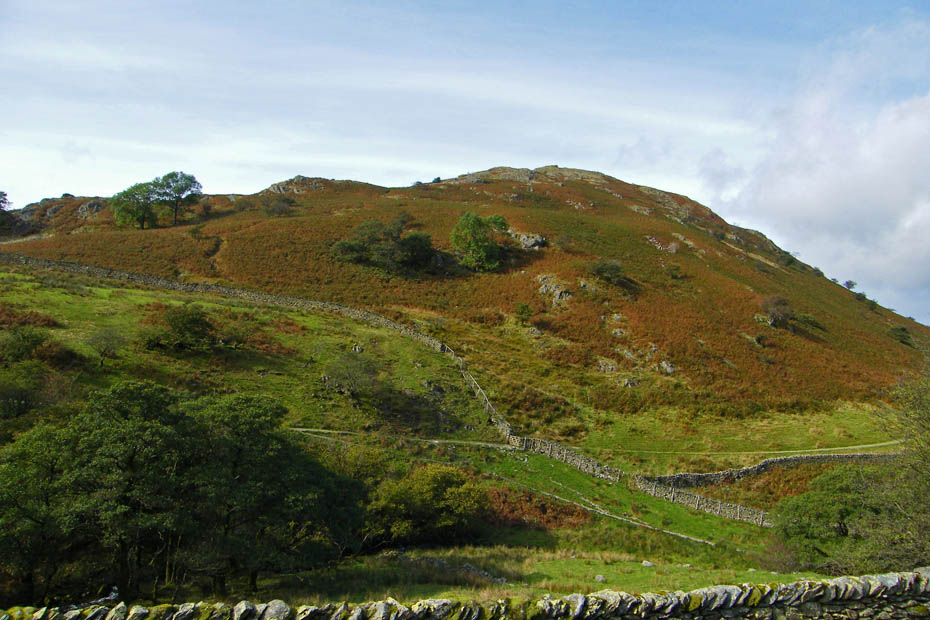
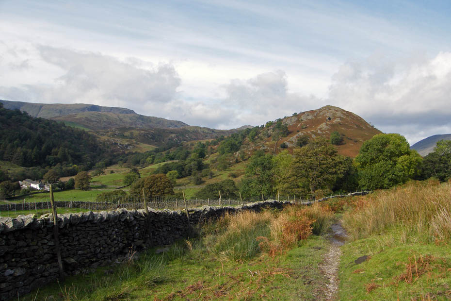
Looking across to Troutbeck Tongue. The track up the south end can be seen. This is by far the best way up.
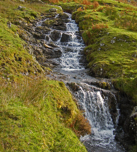
Delightful falls near the ford
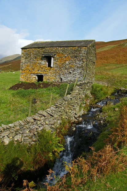
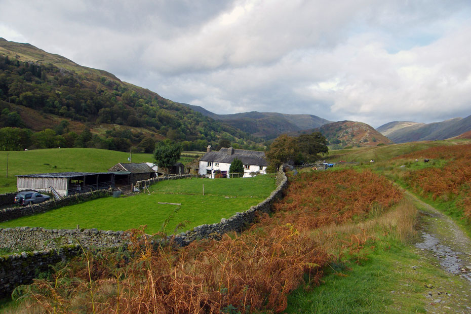
A look back from Long Green Head
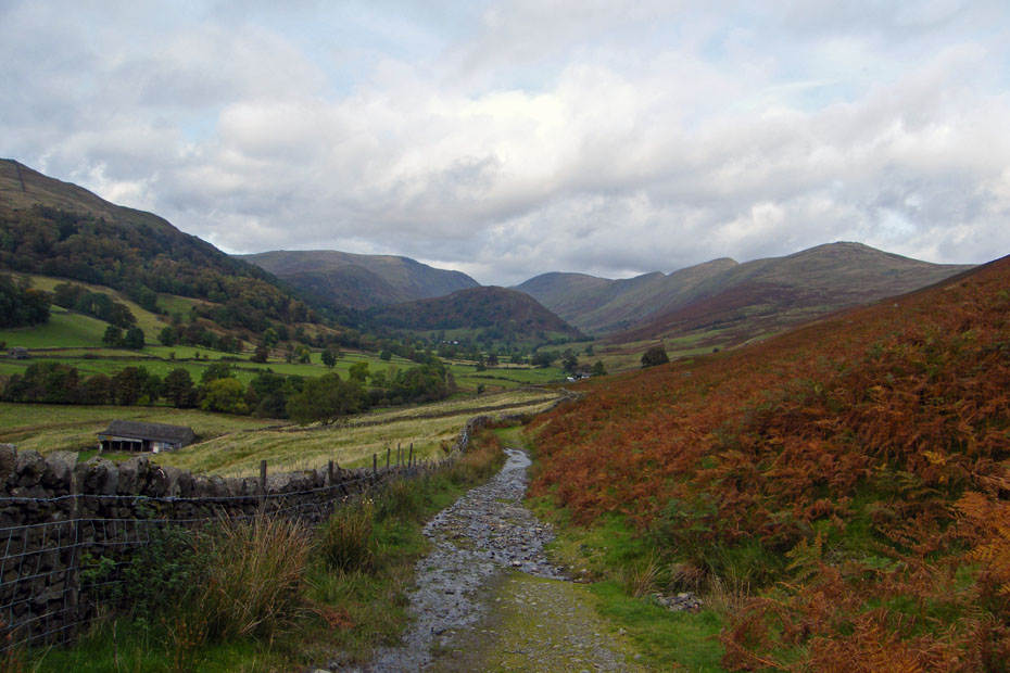
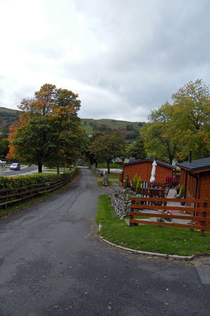
We left the bridleway to walk through Limefitt Park to the A592
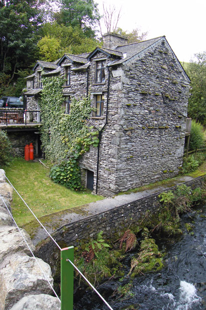
The reception at Limefitt Park.
Next Walk: 12th October 2009 - Lake District - Troutbeck Tongue
Last Walk: 5th October 2009 - Arnside & Silverdale AONB - A Silverdale saunter
We hope you have enjoyed viewing this walk. If you have any comments please sign our Guestbook or E_Mail us.