
| Area: | Local | Ascent: | n/a |
| Walk No: | 314 | Time: | 1hour |
| Date: | 21st October 2009 | Parking: | Sunderland shore |
| Distance: | 2.00 miles | Weather: | Fine with a little sun |
| Route: |
For those of you that are thinking of going onto the hills I would strongly recommend that you read the advice given by the Mountain Rescue organisation of England and Wales. To read this advice, which will open in a new page please click HERE. If you would like to make a donation to the Mountain Rescue organisation which is purely voluntary please click HERE. Please make the time to read the advice page.
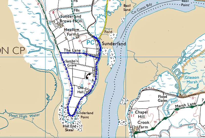
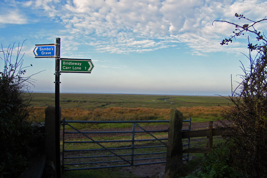
A visit to Sambo at Sunderland Point
There have been many cases of mans inhumanity to others over the years and Britains involvement in the Slave Trade is not a piece of our history we can be proud of. However out of this trade comes a story that shows how children over many years have cared for the resting place of a poor slave boy. Sambo died in 1736 whilst travelling with his master and was buried in unconsecrated ground on the shoreline of Morecambe Bay at Sunderland. Sunderland was developed as an out port for Lancasterby Robert Lawson, a Quaker at the beginning of the 18th century. Reportedly, stonework from the ruined Cockersand Abbey just across the river was utilised in the construction of the quay and buildings. Lawson finally went bankrupt in 1728, which began a steady decline until it was totally surpassed by Glasson Dock which opened in 1787.
I had an appointment at the doctors later in the day so I did this walk just after breakfast. Only a short walk although it can be made longer by taking in Overton which is nearby. Just a word of caution. The road from Overton to Sunderland is tidal so please make sure you know what time the tide is before setting off.
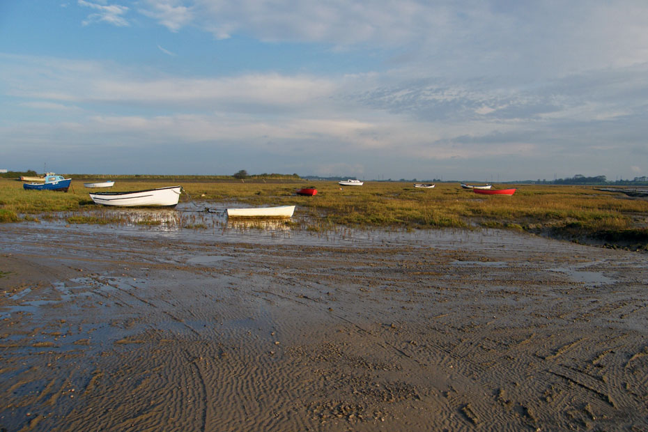
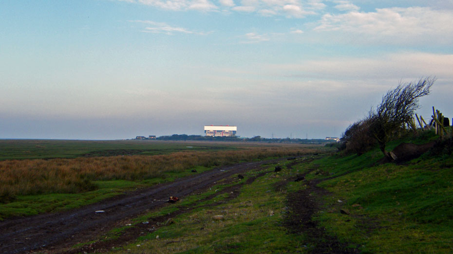
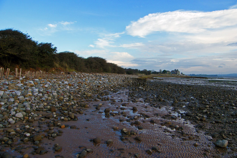
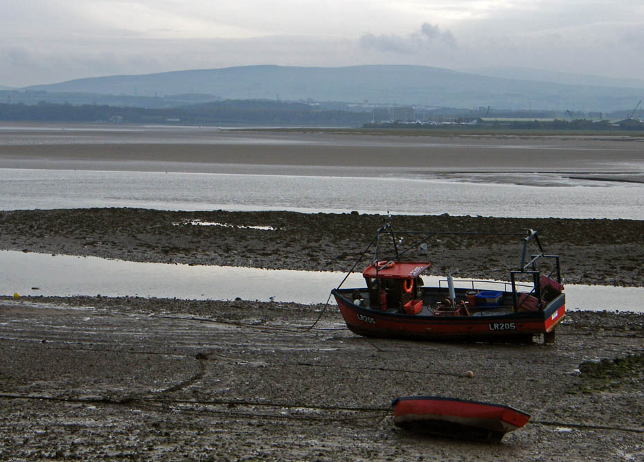
A muddy parking spot.
High Water was not until after noon so I had plenty of time for this short walk. The road from Overton was covered in a coating of mud, a bit like a skid pan to drive across. The tides today are quite high and at high water the area where I am parked will be underwater.....let's get going!
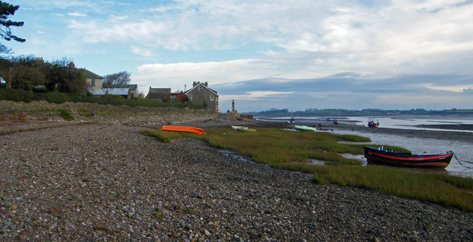
My personal favourite....the boat will be used for shrimping and perhaps whammel fishing for salmon.
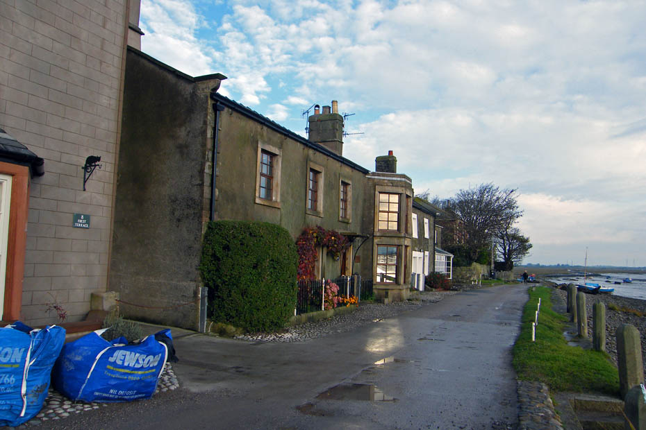
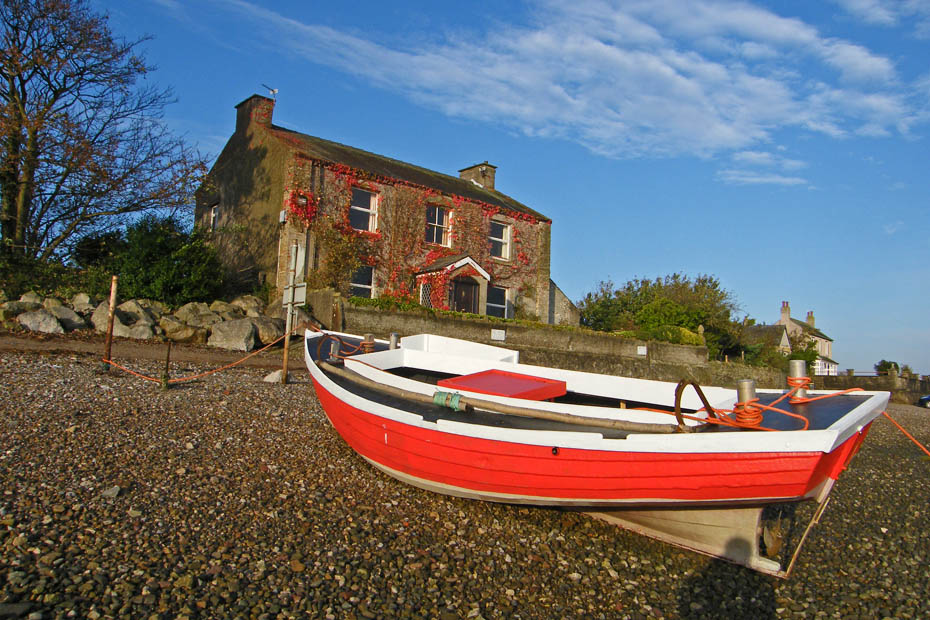
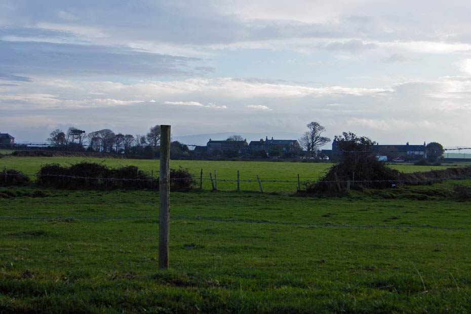
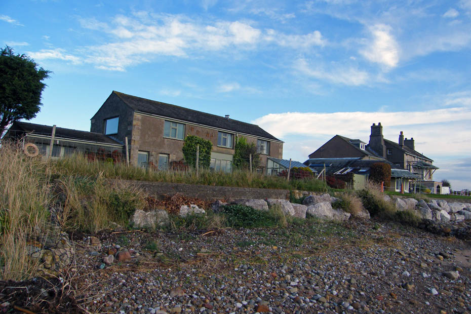
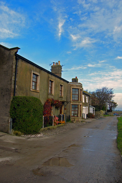
I am not sure what the population of Sunderland is but it will be quite low as it only comprises 2 terraces of housing plus a couple of farms. This is First Terrace, behind me as I take this picture is a lane to the West Shore.
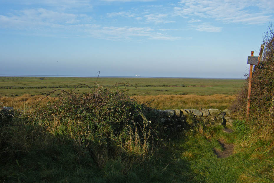
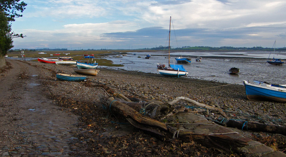
Walking to the West Shore. The West Shore is next to the salty waters of Morecambe Bay, the east shore where I started from is next to the tidal section of the River Lune where the salinity will vary with the tide.
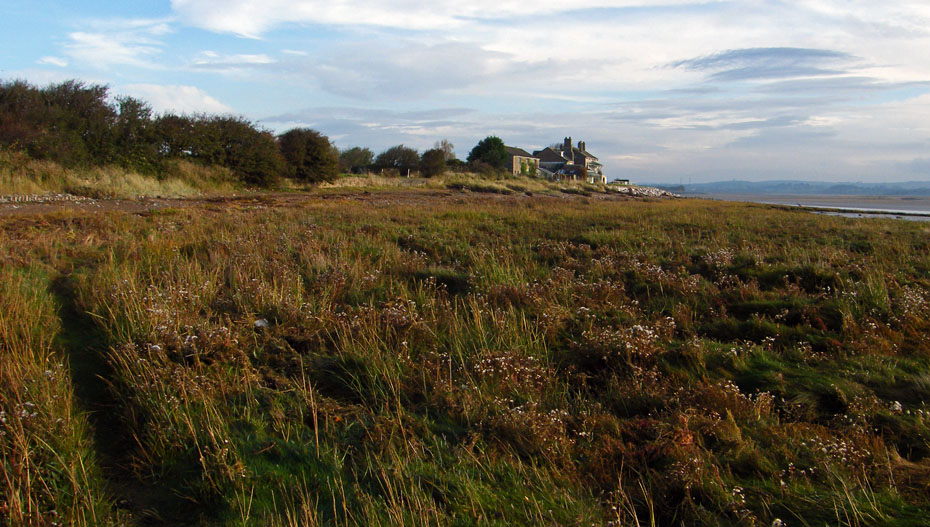
Looking s'wards towards to Sunderland Point
Arrival at the west shore.
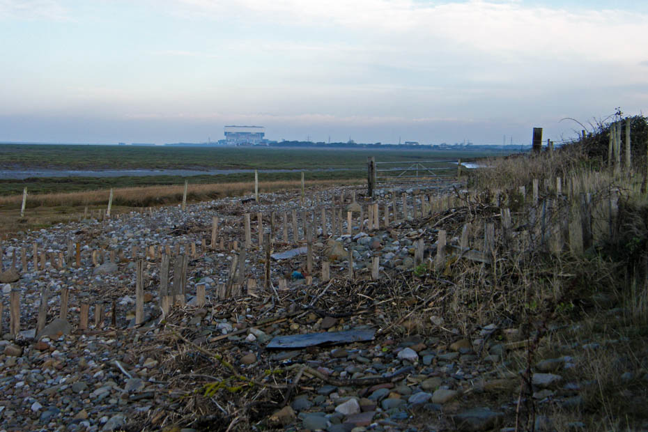
A look n'wards to my ex-workplace and now pension provider Heysham 2 Power Station.
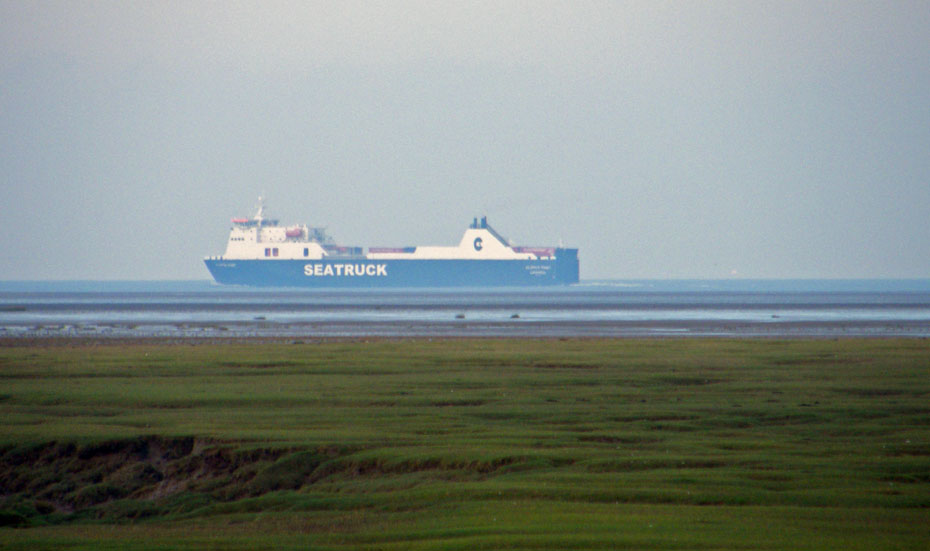
Outward bound from Heysham but only to Ireland
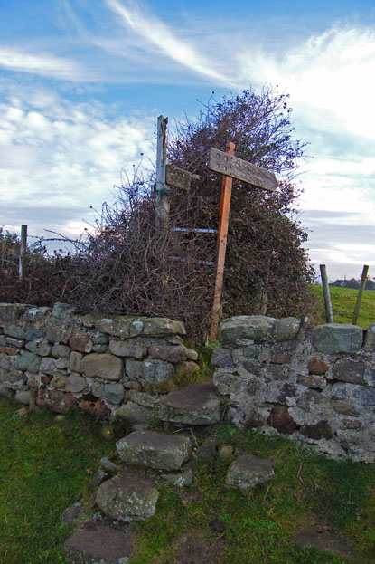
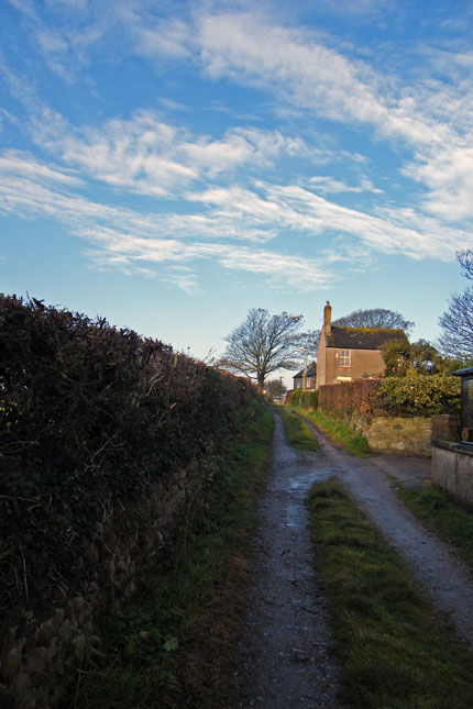
Not far from the lane the wall stile to the grave.
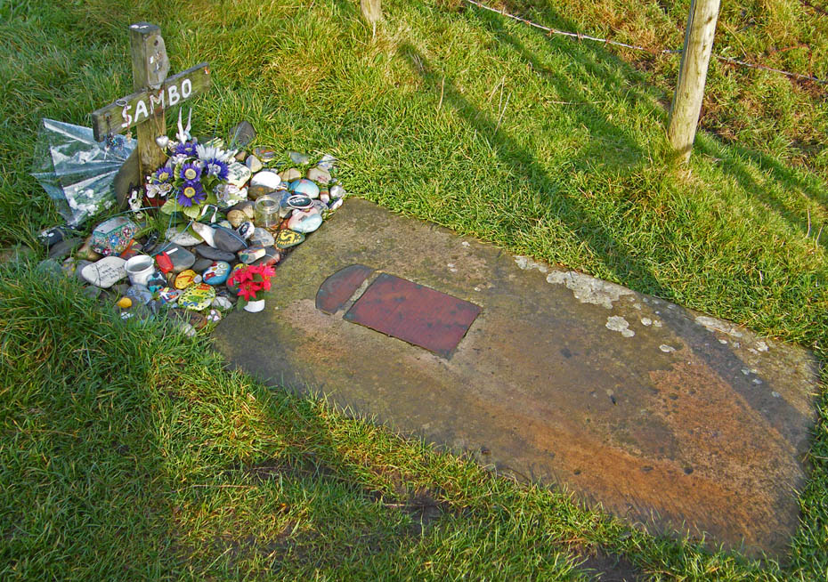
Now , how many graves can you think of that are as well kept as this.
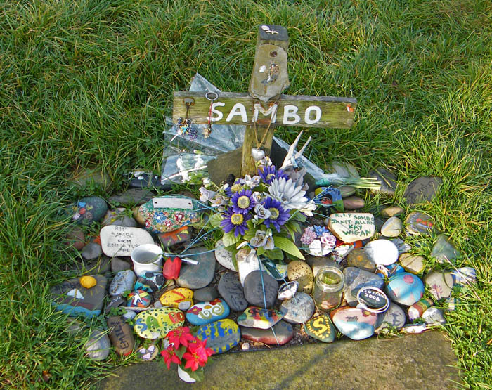
All the work of children both local and from further afield
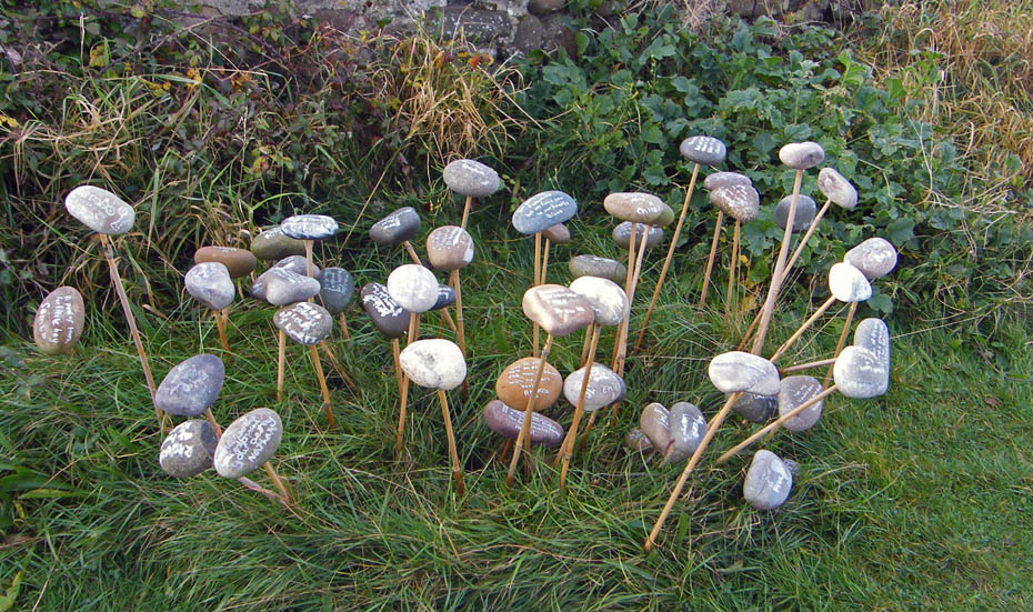
These beautifully decorated stones were brought by schoolchildren from the Alston & Nenthead Schools in March '09. When I saw them in May they had string around them to help support. If any kind reader passes this way before I next visit please take some strong twine to help support. Pictures of the inscriptions can be seen HERE (opens in new window)
Leaving the grave I continued to walk towards the end of the spit of land known as Sunderland Point
A last look back as I start to round the end.
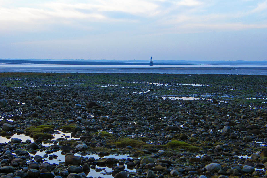
Looking over Hall End Skear to Plover Scar lighthouse across the entrance to the River Lune.
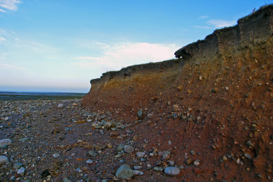
Sandy soil is no watch for the waves. In places the drop was nearly 12'
Now round the point and starting my return along the river side of the point.
The buildind in the distance is shown as Old Hall on the map.
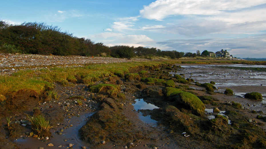
Global warming....I'll keep my thoughts to myself on its causes but one thing is 100% sure, sea levels are rising and acres of salt marsh are being washed away.
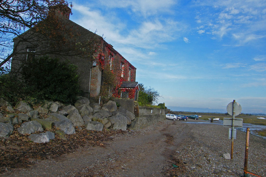
Old Hall
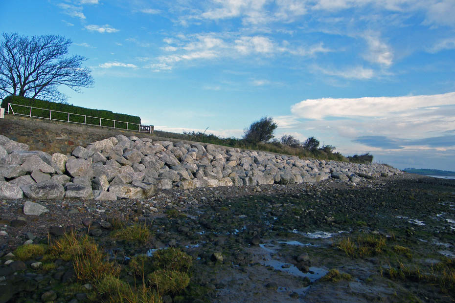
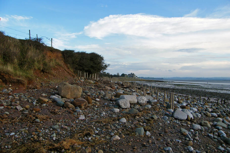
Coastal protection.
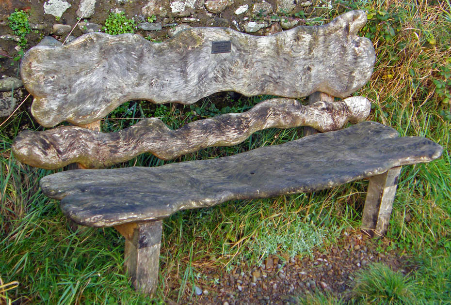
A lovely carved memorial seat.
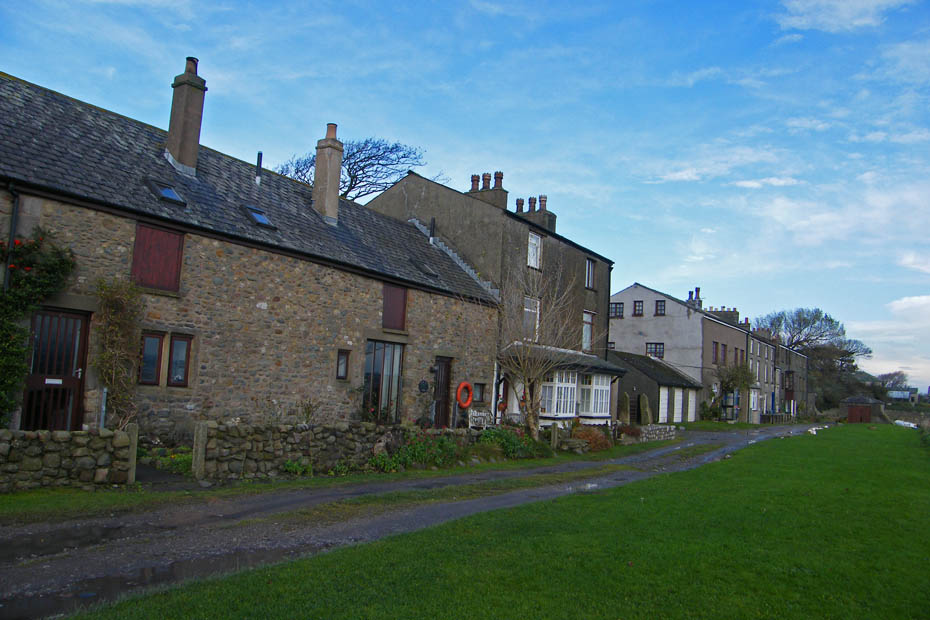
This is Second Terrace. It is here near the phone box that the infamous "Cotton Tree" grew until on New Years Day 1998 when in a fierce storm it was blown over.
Leaving Second Terrace behind I made my way back to First Terrace.
This is the only picture I took lover over the river as that way it was grey and murky.
First Terrace
Almost back
Todays useless information...
Sunderland was built in the eighteenth century by Robert Lawson, a Quaker businessman and there is a story that it was here the first cotton crop to enter Britain arrived. But it lay untouched for two years because no-one knew what to do with it. Perhaps it's a good job that somebody eventually did decide to use it or the cotton towns of the north west would never have evolved.
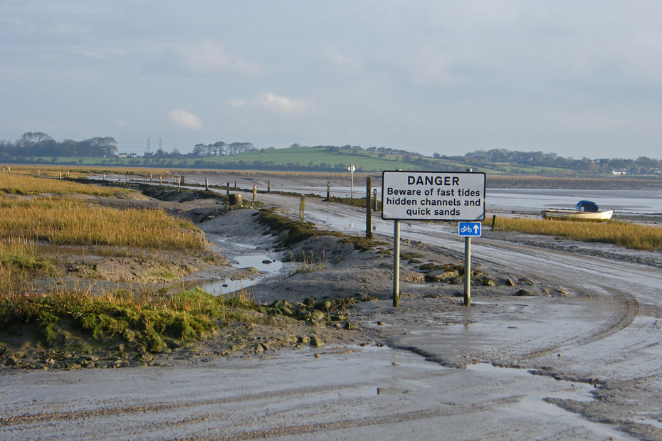
There are a few other cars parked with me now. At high water the level will be halfway up the doors.
Next Walk: 22nd October 2009 - Lake District - Latterbarrow
Last Walk: 17th October 2009 - Lake District - Gummer's How
We hope you have enjoyed viewing this walk. If you have any comments please sign our Guestbook or E_Mail us.
