
| Area: | Lake District | Ascent: | 890feet |
| Walk No: | 315 | Time: | 3hours 30minutes |
| Date: | 22nd October 2009 | Parking: | Near Wray Castle gatehouse |
| Distance: | 5.00miles | Weather: | Mostly cloudy with some sunny spells |
| Route: |
For those of you that are thinking of going onto the hills I would strongly recommend that you read the advice given by the Mountain Rescue organisation of England and Wales. To read this advice, which will open in a new page please click HERE. If you would like to make a donation to the Mountain Rescue organisation which is purely voluntary please click HERE. Please make the time to read the advice page.
I wasn't sure of where our walk would be as we left home. Morecambe was bathed in the most glorious sunshine but as we drove along the promenade the views across the bay were a bit dull. I had looked at the Fishers webcam and it looked bright in the north so that was also in my mind. However we got held up by traffic on our way so this made our minds up for us and a visit to the magnificent obelisk on Latterbarrow was the objective.
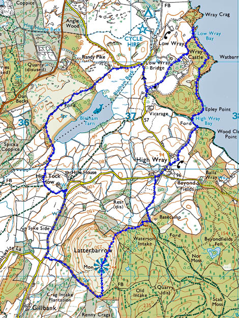
Route Map
We left the car at the roadside near the gatehouse to Wray Castle.
A glimpse of sun on the Langdale Pikes as we walk on the permissive path which avoids road walking down to the Blelham Tarn path
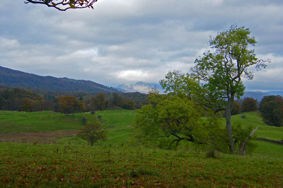
The Fairfield Horseshoe basks in the sunlight.
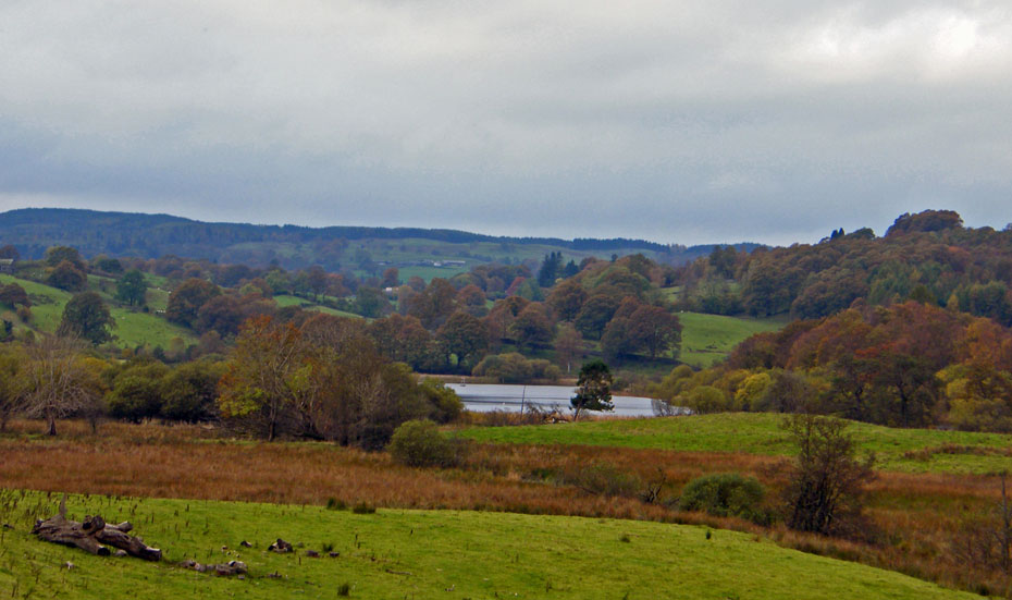
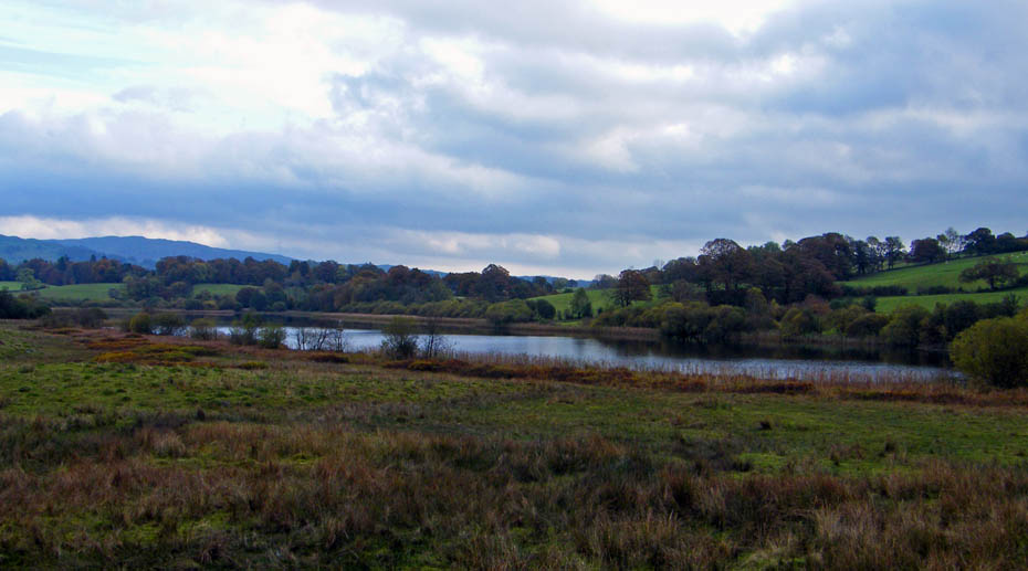
Blelham Tarn...Our path would go through the woods to the right
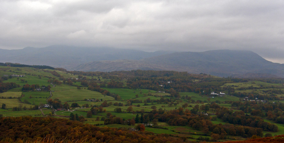
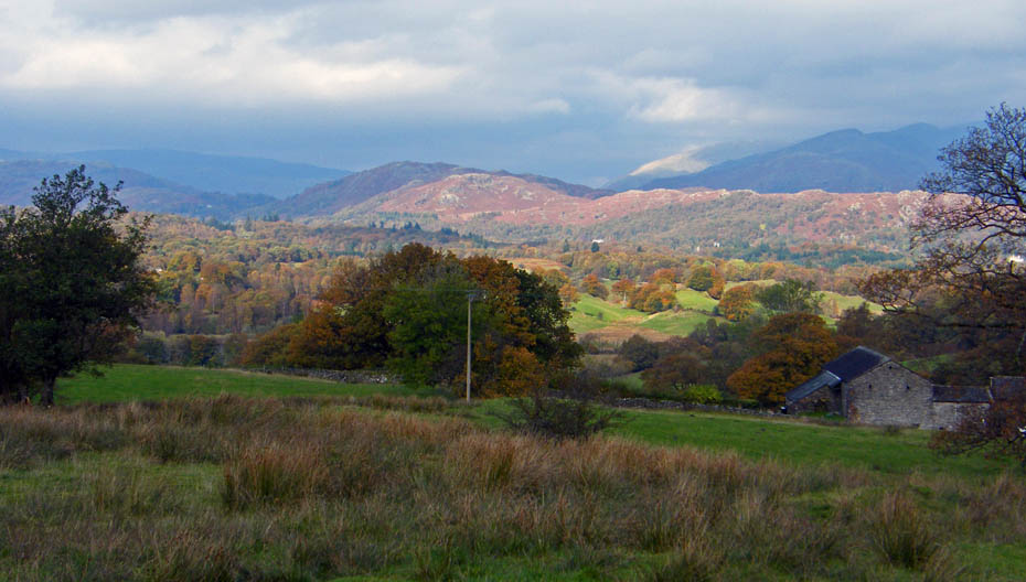
A look towards Latterbarrow
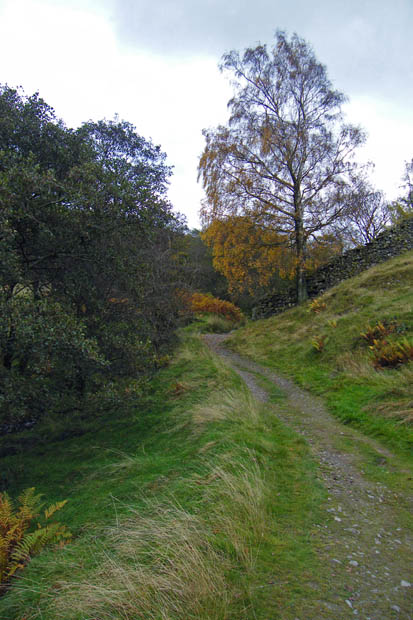
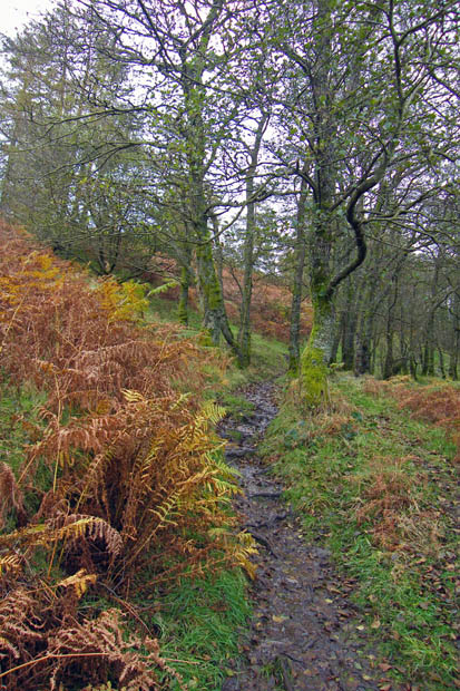
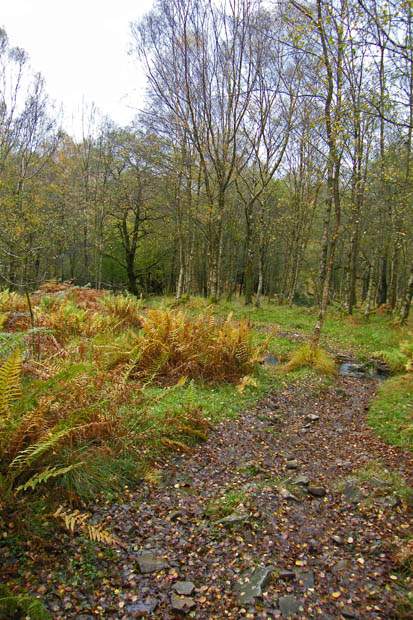
Our path goes through these woods
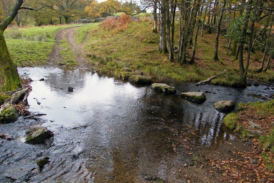
A small ford and stepping stones over a unnamed beck
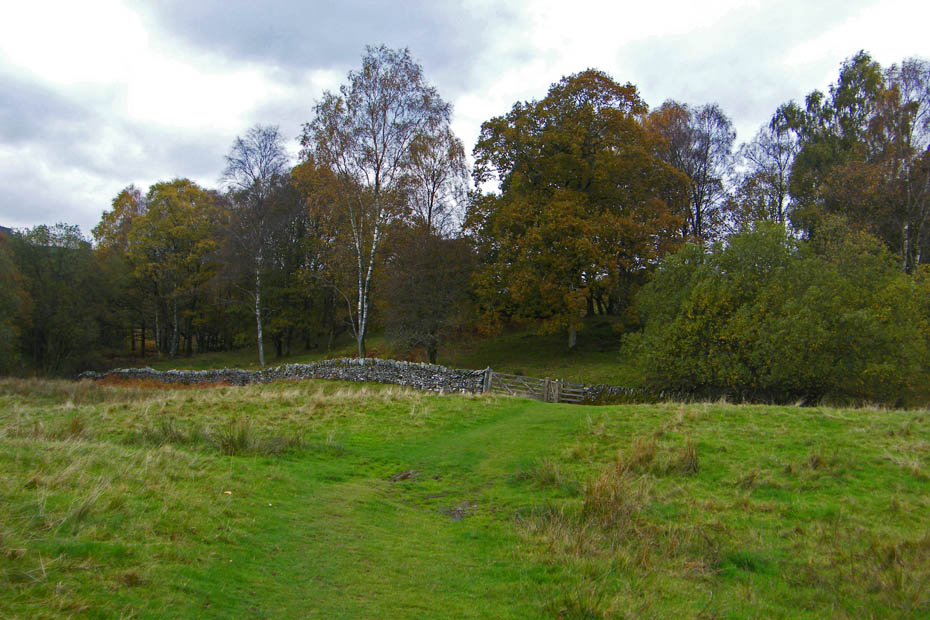
We have now left the bridleway and are on a concessionary path which goes round the top of the tarn and up to High Tock How
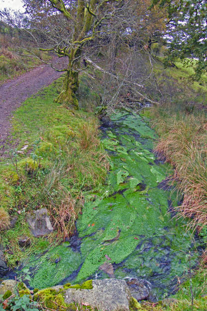
One of the tarns feeder streams The old "nobby" is still there
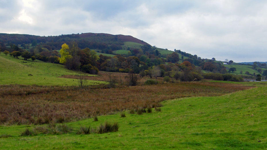
We have got it wrong today, the better weather is to the north
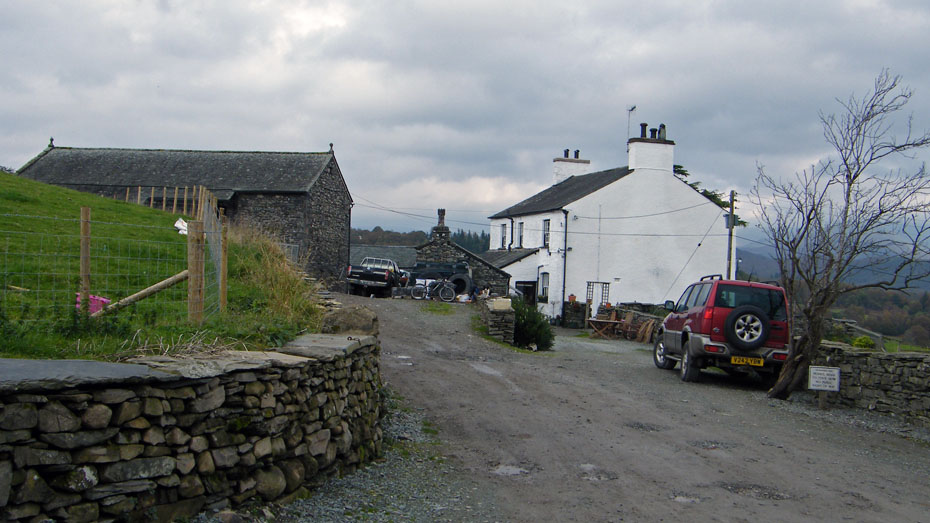
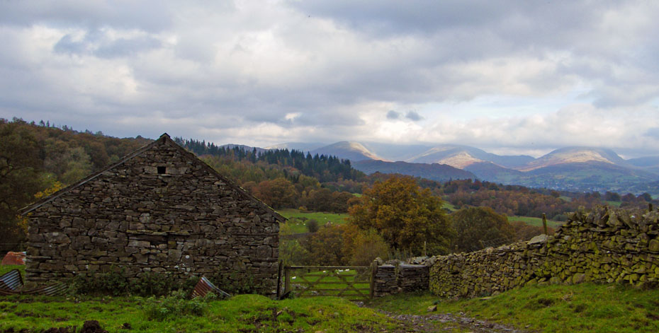
High Tock How farm....from here there was a short stretch of road walking...
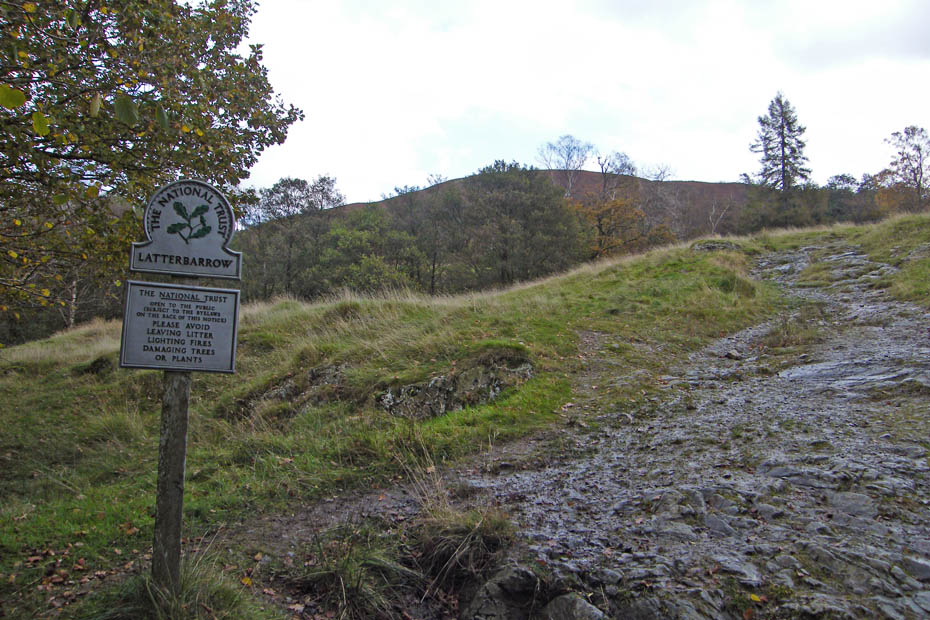
before we picked up the path up Latterbarrow
No direct route today. We took the easier option along the wall ..
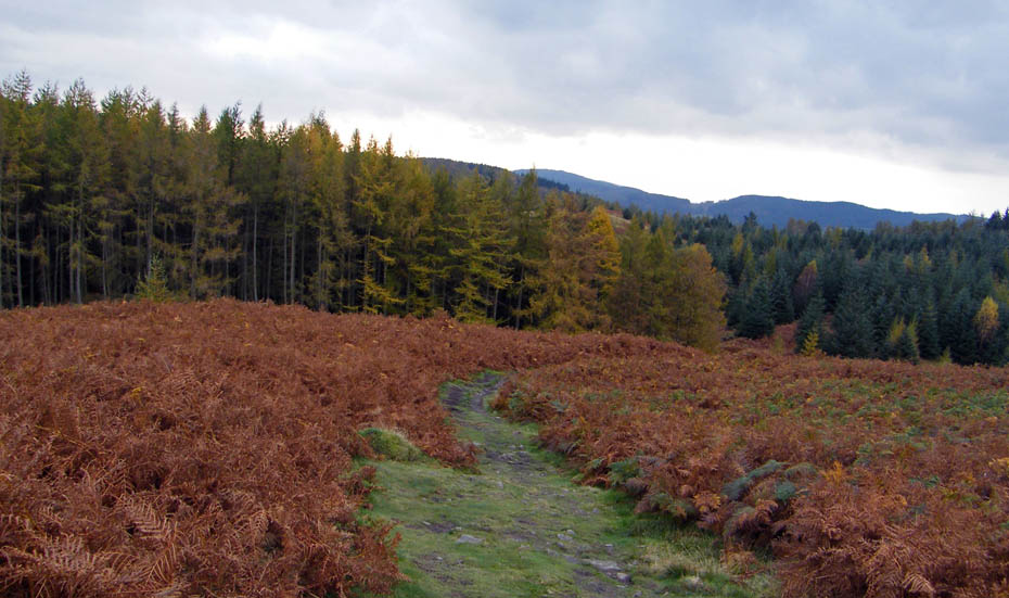
before leaving it at it's highest point for the shoty climb to the summit.
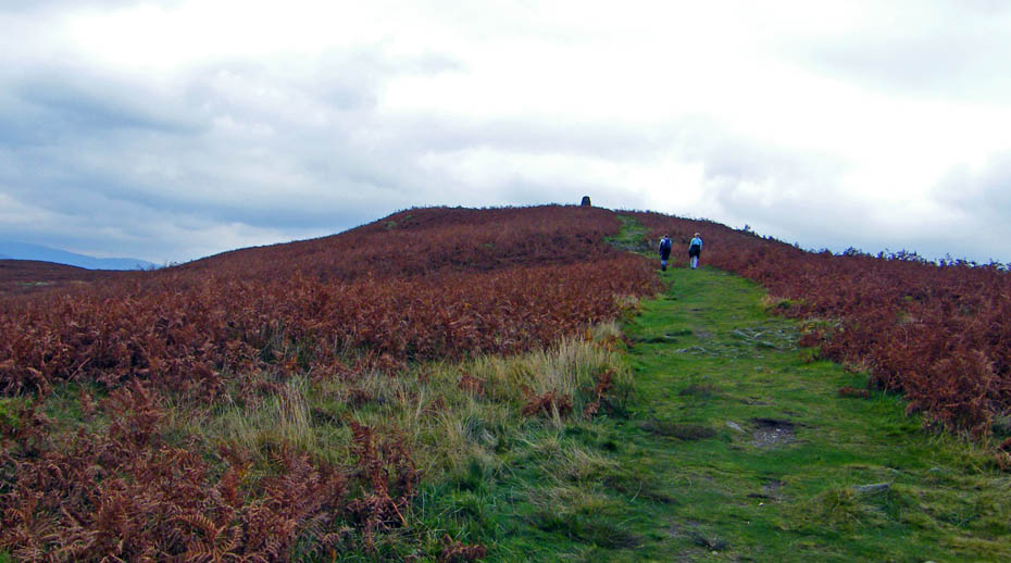
Nearly there...the paths were very wet and quite slippy in places.
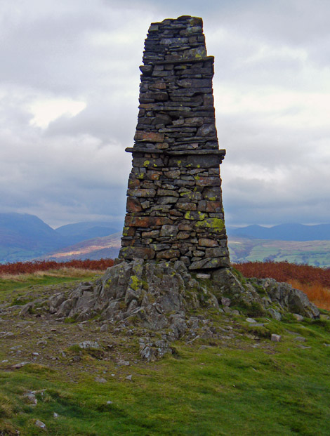
The magnificent obelisk on the summit of Latterbarrow.
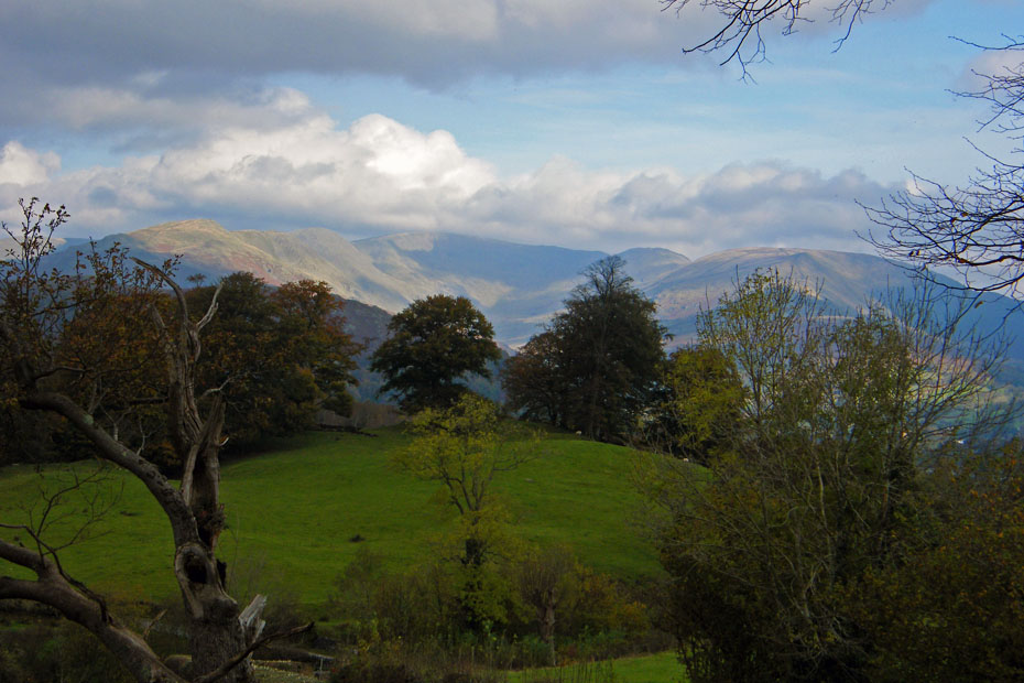
Cloud topped Conistin Fells
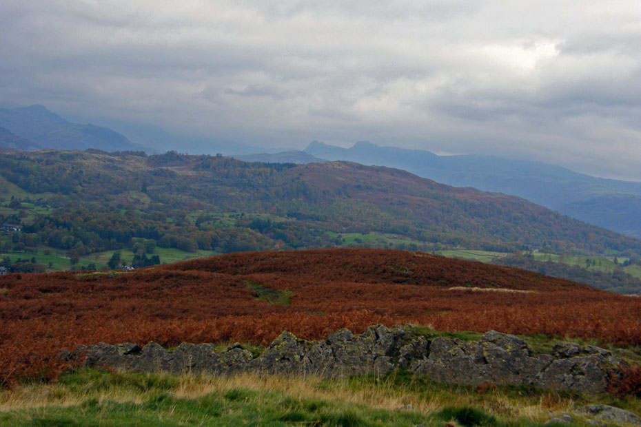
The Langdales look gloomy over Black Fell
Starting the descent down the concessionary path to Basecamp. This section was very muddy and in many places it was best to leave the path and make our way down through the bracken.

We eventually emerged onto the road at High Wray
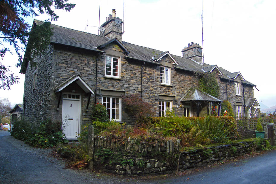
We walked down the road passing these delightful cottages before taking a path on the right....
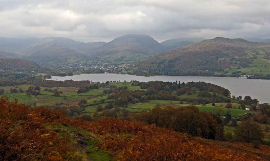
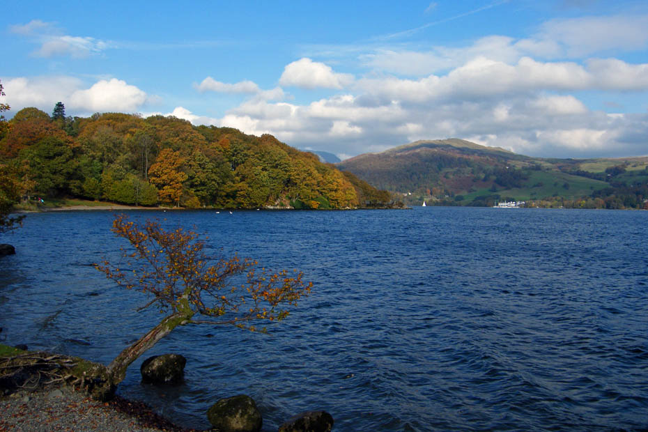
..that led us down to Windermere at High Wray Bay. During this period we had the longest spell of sunshine.
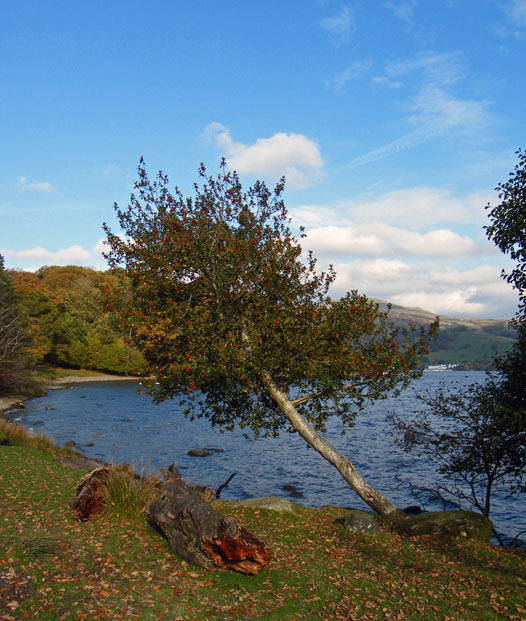
A stop on a well placed seat at High Wray Bay..
...before taking the waterside path past Epley Point and Watbarrow Point towards Low Wray Bay
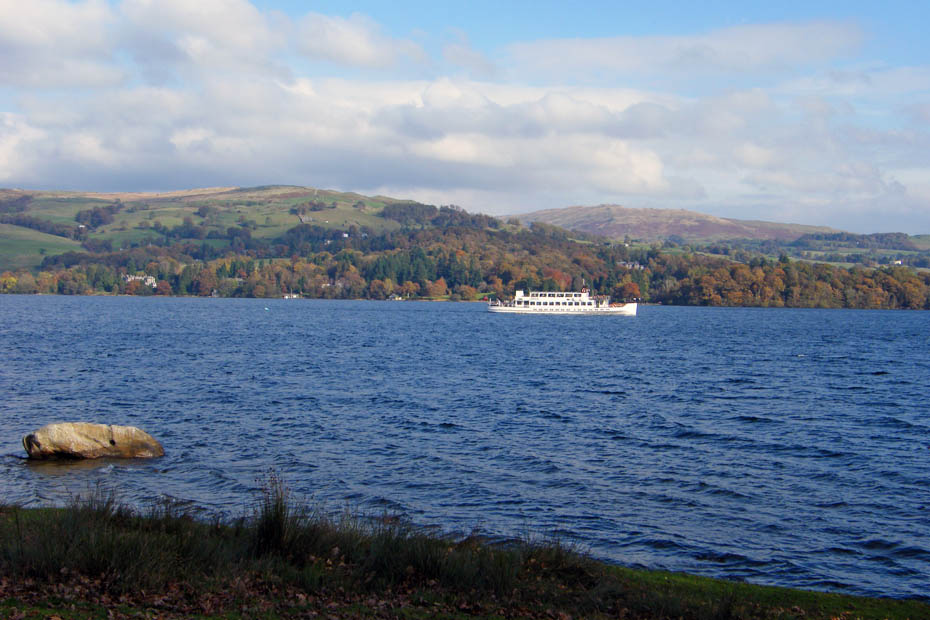
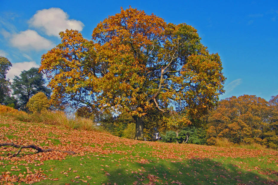
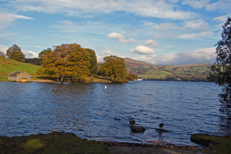
The colours here were stunning
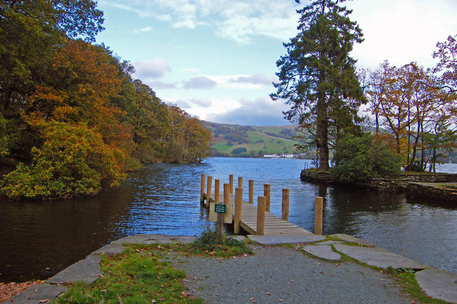
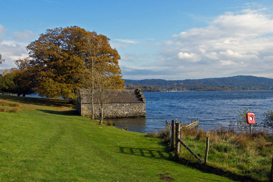
The ferry landing at Low Wray Bay.
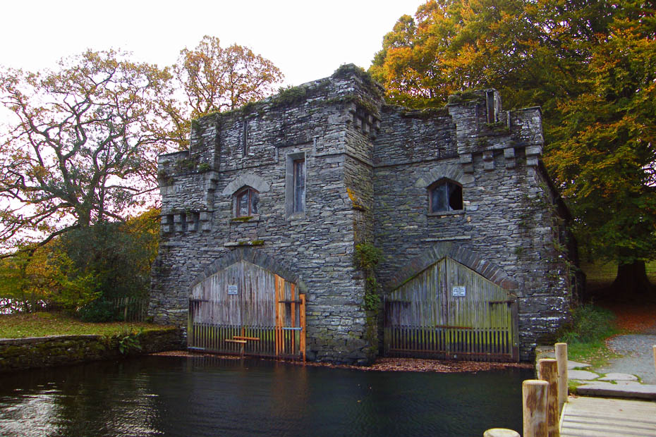
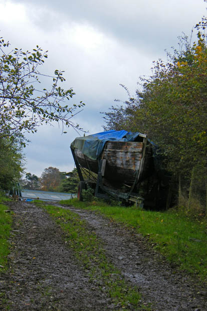
And the magnificent boathouse.
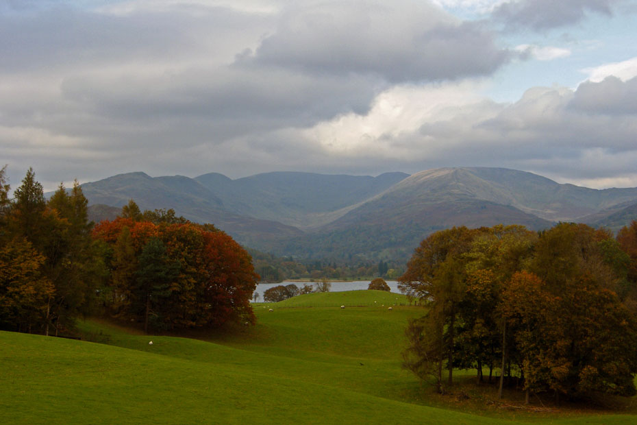
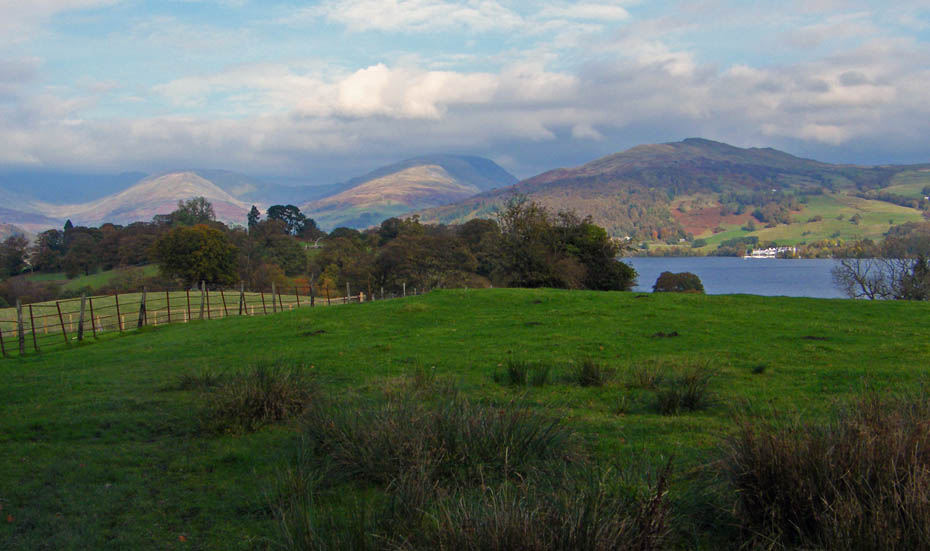
The sunshine didn't last long unfortunately and as we walked up towards Wray Castle I could only get a gloomy outline of the Fairfield Horseshoe.
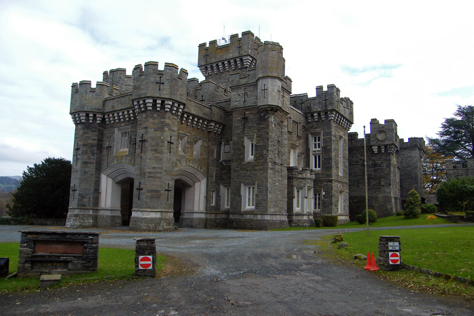
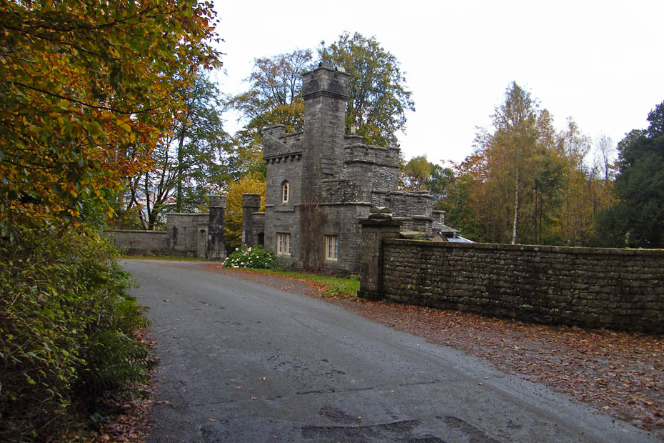
Wray Castle....A castle in name only. Built in 1840 in the Gothic revival style as a private house.
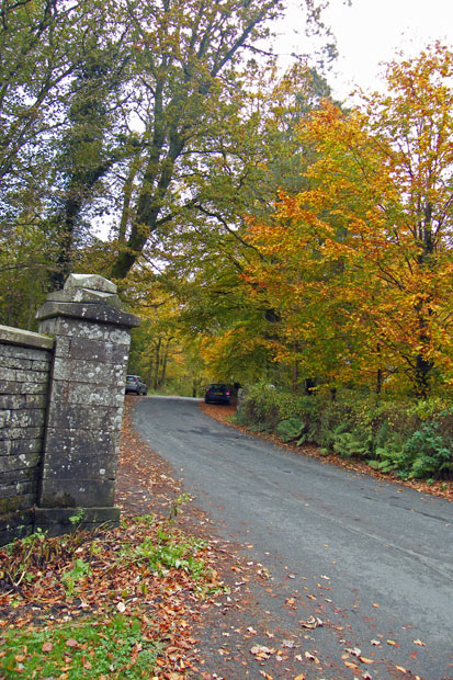
A short walk took us back to the gatehouse and the car.
Click HERE for another walk in this area on a better day and with better views
Next Walk: 26th October 2009 - Lake District - School Knott & Grand Sire from Cleabarrow
Last Walk: 21st October 2009 - Local - Sunderland Point & Sambo's Grave
We hope you have enjoyed viewing this walk. If you have any comments please sign our Guestbook or E_Mail us.
