
| Area: | Lake District | Ascent: | 730feet |
| Walk No: | 319 | Time: | 2hours 45minutes |
| Date: | 30th October 2009 | Parking: | Helsington Church |
| Distance: | 5.25miles | Weather: | Fine with some sum but very hazy |
| Route: | Church - Helsington Barrows - Scout Scar summit - Viewpoint - Barrowfield - Honeybee Wood - Church |
For those of you that are thinking of going onto the hills I would strongly recommend that you read the advice given by the Mountain Rescue organisation of England and Wales. To read this advice, which will open in a new page please click HERE. If you would like to make a donation to the Mountain Rescue organisation which is purely voluntary please click HERE. Please make the time to read the advice page.
This is a walk I last did by myself in June this year on a beautiful day and Edith had said she wanted to do it after seeing the pictures. It is the reverse route of my walk and unfortunately because of the very hazy conditions the views were nowhere near as good. For a look at the previous outing click HERE (opens in new window)
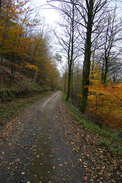
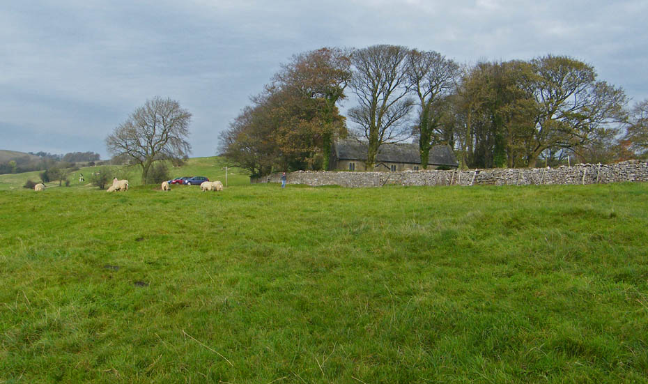
It was fine and sunny when we left home and was still sunny when we arrived but there was a deep haze all around. Here we are parked at the church looking towards Helsington Barrows.
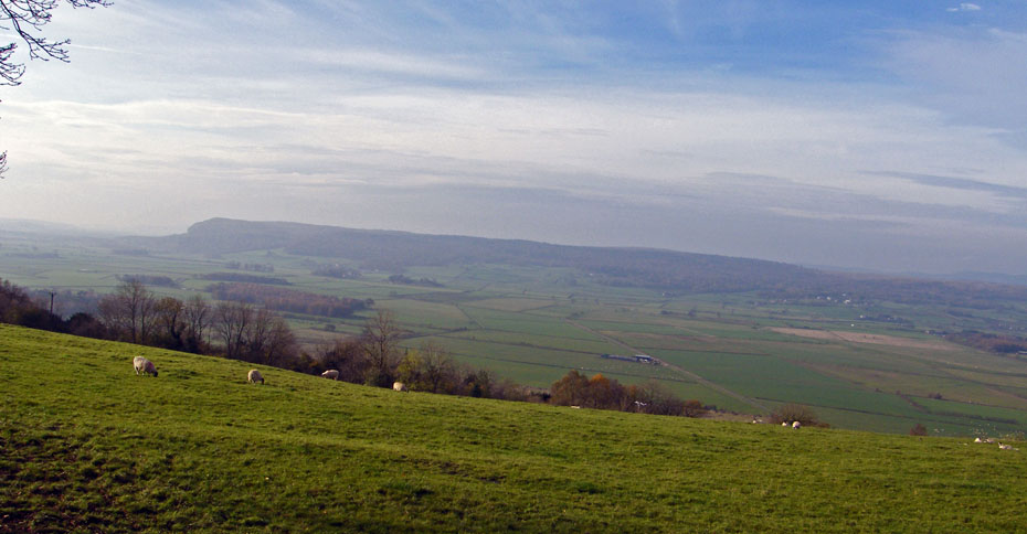
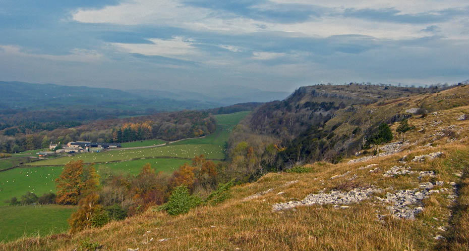
A look across the Lyth Valley to Whitbarrow only a couple of miles away.
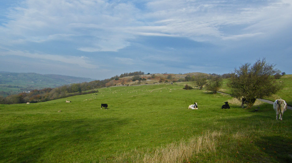
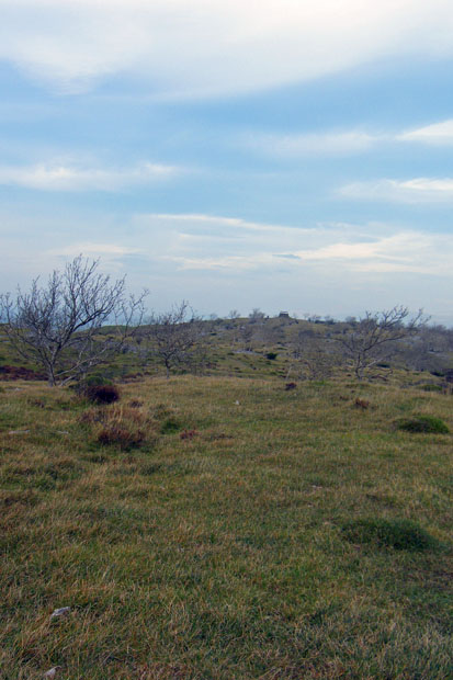
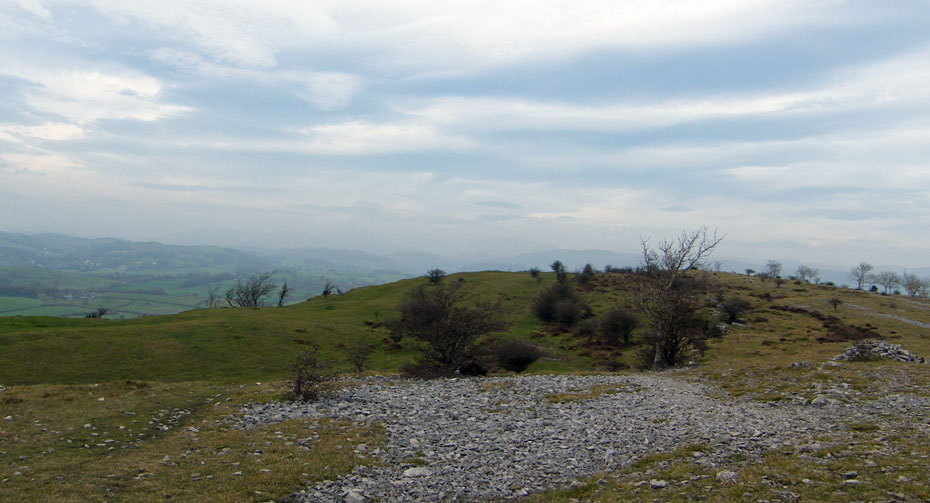
Entering Helsington Barrows.
A nice gentle climb
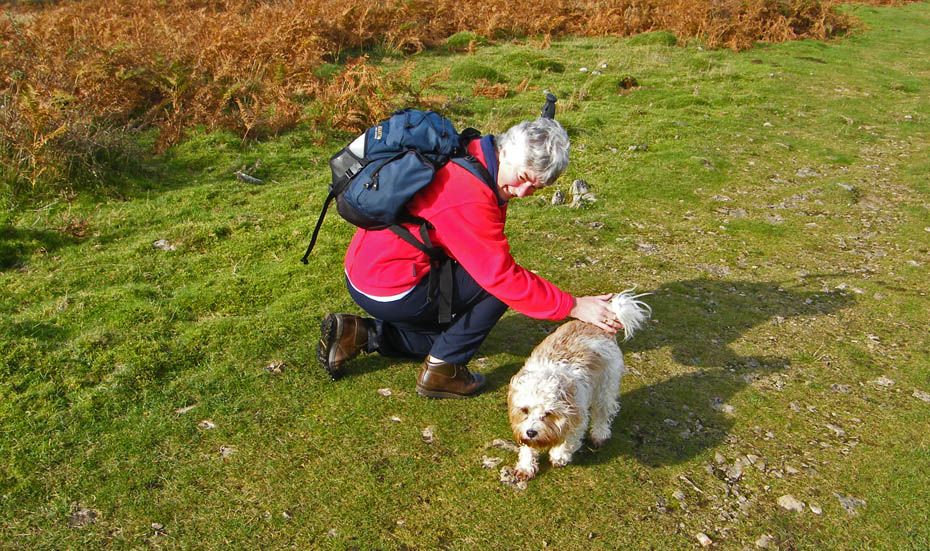
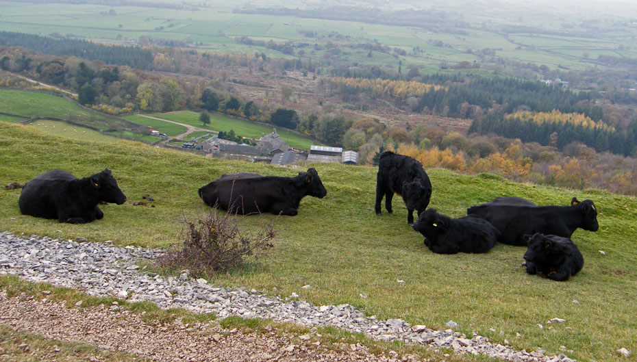
Well that's made her day!!....making friends , there were actually three of them but wouldn't keep still
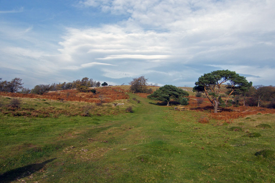
First view of Scout Scar from the point where our path drops into a small gully.
Our path goes from left to right. The path ahead drops down through the woods to Barrowfield where we will descend to later. According to Bill Birkett this is an ancient path.
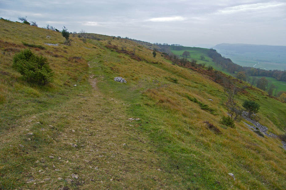
We carried on up t'other side of the gully to walk along the escarpment.
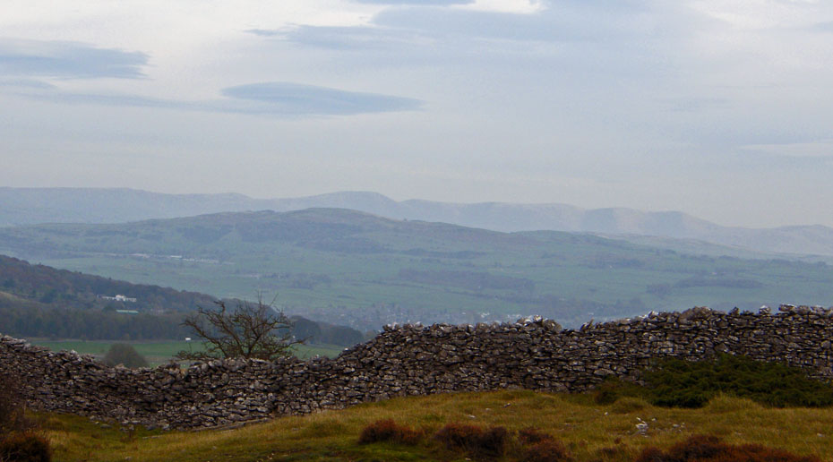
Only hazy views today I'm afraid, what sun there is, isn't making any difference
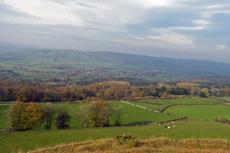
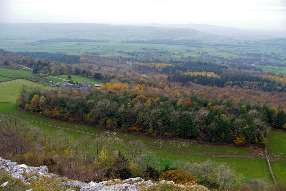
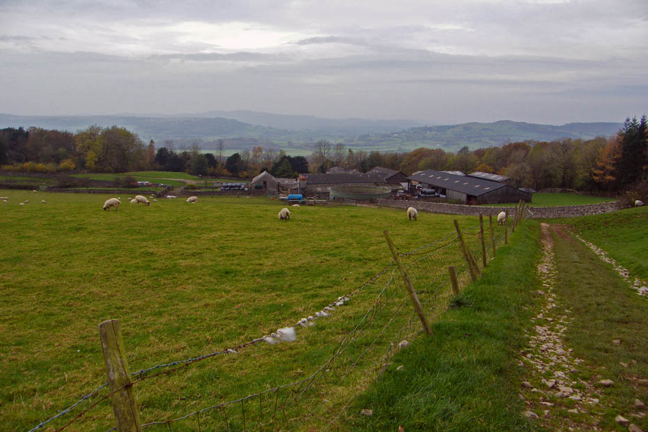
Continuing along the edge with Barrowfield below
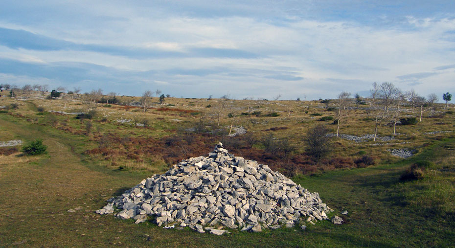
AW's big cairn. We would take his return route to Kendal (on the right) for a short while. We would return to here later by the path on the left to descend to Barrowfield.
Having walked along AW's Kendal path for a short way we headed N'wards to the summit of Scour Scar.
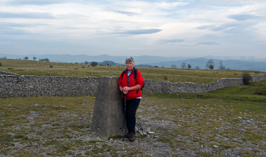
Edith at the summit with with outlines of the Whinfield Ridge to the left and the Howgills just showing over Benson Knott to the right
Heading N'wards to the shelter
Close up of the Howgills over Benson Knott
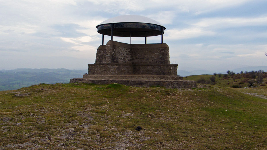
The Shelter/ Bansdstand / Mushroom.....the choice is yours.
Looking N'wards the Kentmere fells were barely visible
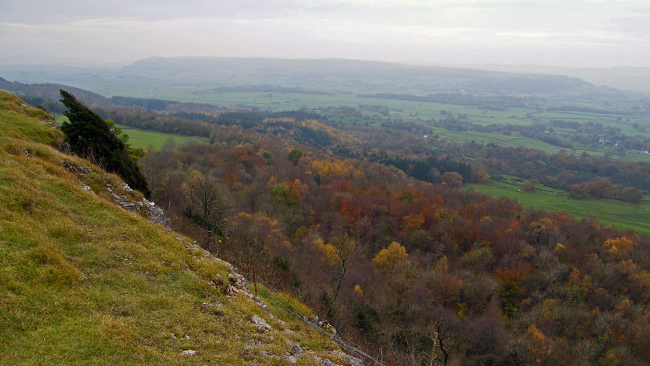
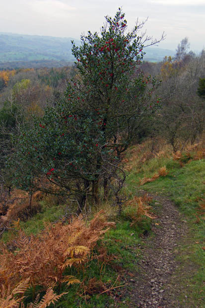
Making our way back along the escarpment with some colour in Barrowfield Wood
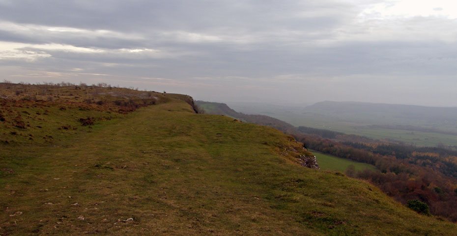
Life on the Edge.
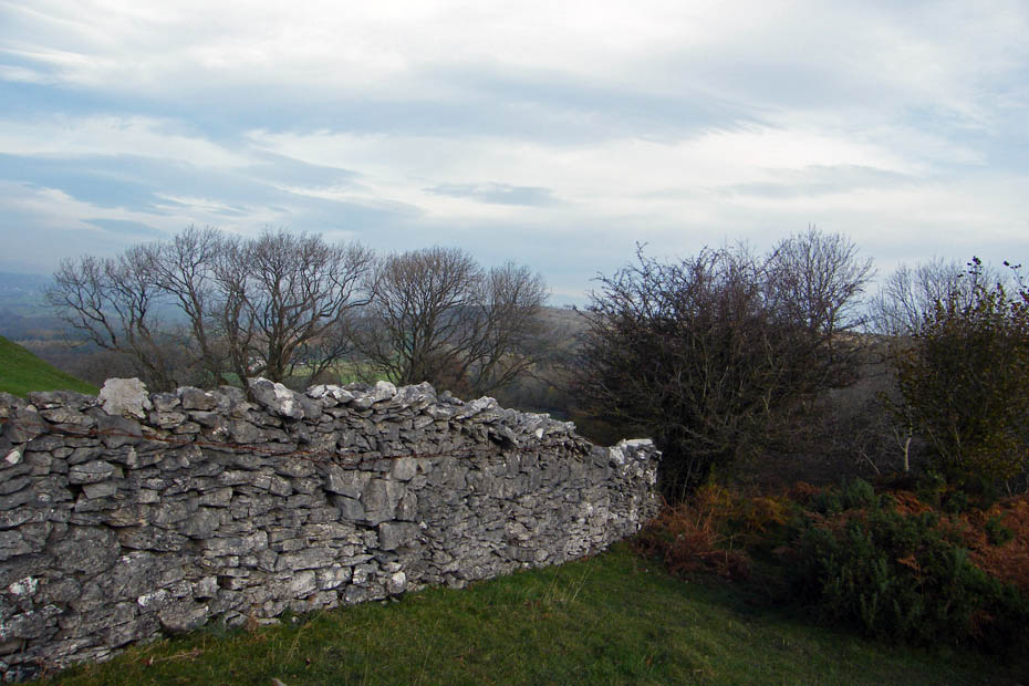
AW's big cairn is to our left the small cairn marks the start of the way down to Barrowfield
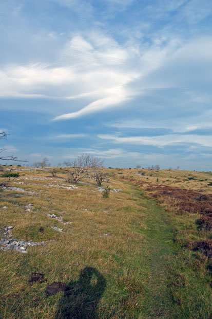
There were a couple of places where care was needed on wet muddy limestone but in the main a good path.
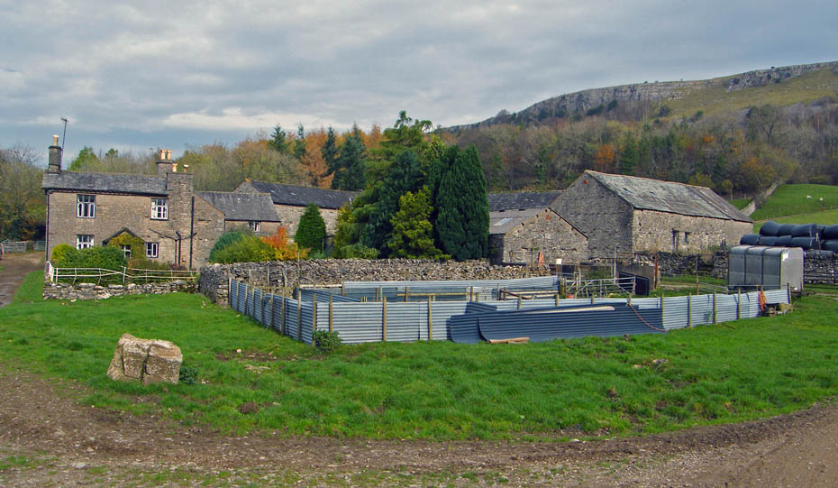
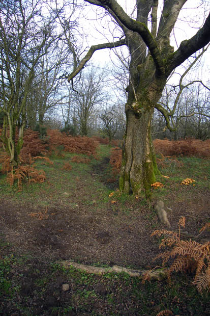
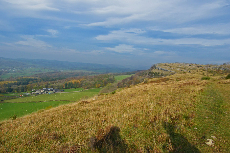
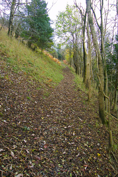
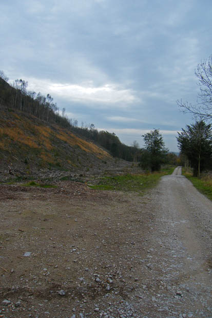
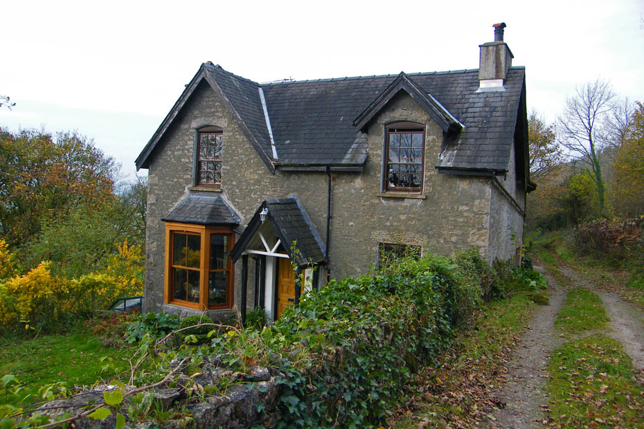
Barrowfield farmhouse. From here we followed the farm lane a very short distance before taking the RoW into Honeybee Wood
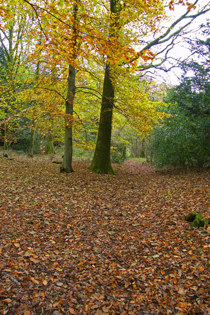
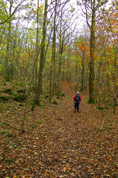
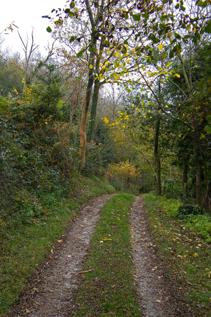
Far more pleasant than the farm lane anyway.
Having rejoined the farm lane we followed it to the Kendal - Brigsteer road.
After walking down the road a few yards we took the bridleway which would take us back to the church
Almost back
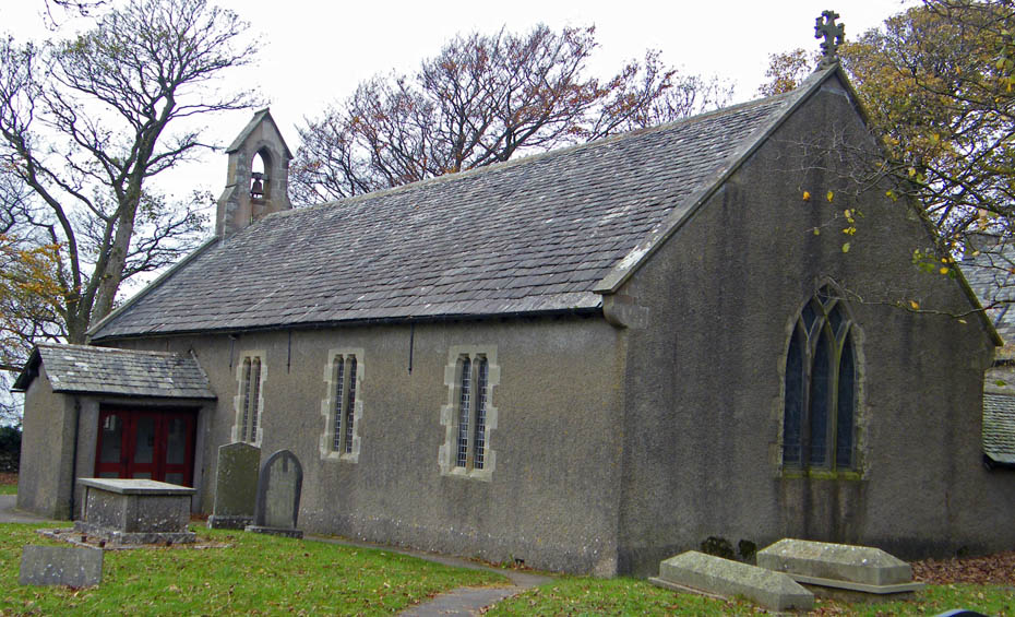
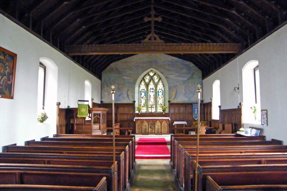
After changing the boots a look at the church of St Johns at Helsington. As I've said before not the prettiest I've seen but one with great views on the right day.
Next Walk: 8th November 2009 - Lake District - Torver Back Common
Last Walk: 29th October 2009 - South Cumbria - Levens Park
We hope you have enjoyed viewing this walk. If you have any comments please sign our Guestbook or E_Mail us.
