| Area: | Yorkshire Dales (W) | Ascent: | 890feet |
| Walk No: | 321 | Time: | 4hours |
| Date: | 9th November 2009 | Parking: | Layby on B6480 near Scar Top Garage |
| Distance: | 6.75miles | Weather: | Fine & Sunny |
| Route: |
For those of you that are thinking of going onto the hills I would strongly recommend that you read the advice given by the Mountain Rescue organisation of England and Wales. To read this advice, which will open in a new page please click HERE. If you would like to make a donation to the Mountain Rescue organisation which is purely voluntary please click HERE. Please make the time to read the advice page.
Feizor, the name is pronounced "Fayzr" and comes from an Irish/Norse combination of an Irish personal name "Fiach's or Fech" and the Old Norse "erg" meaning shieling (summer pasture), so it was Fiach's or Fech summer pasture. Fiach or Fech himself was apparently the Lord of the Manor at nearby Giggleswick at the time of the Norman conquest.The area surrounding it is lovely walking country and the crags of the nearby Pot and Smearsett Scars are popular with the climbers.
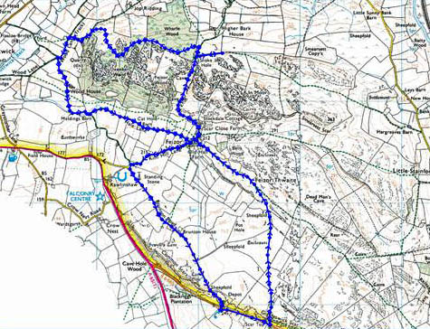
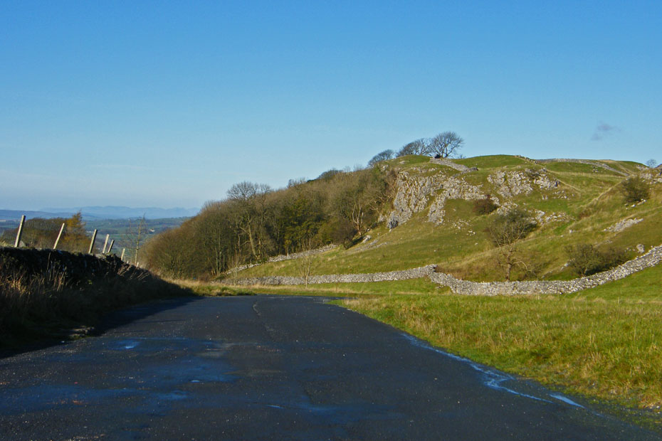
We parked the car in this lay-by on the B6480 road to Settle with a view of Common Scars and distant Lakeland fells
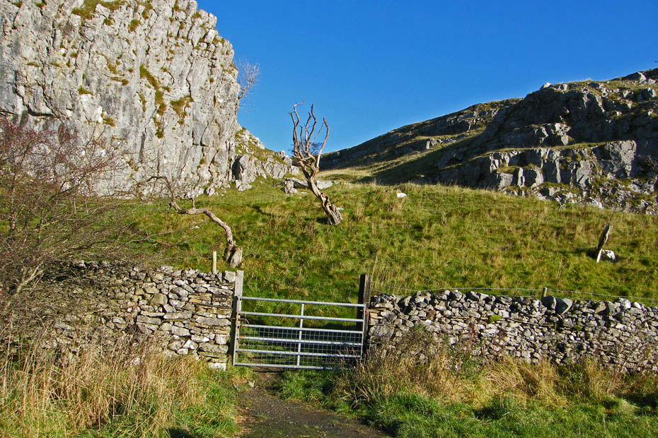
A short walk up the road gave us access opposite the Scar Top garage.
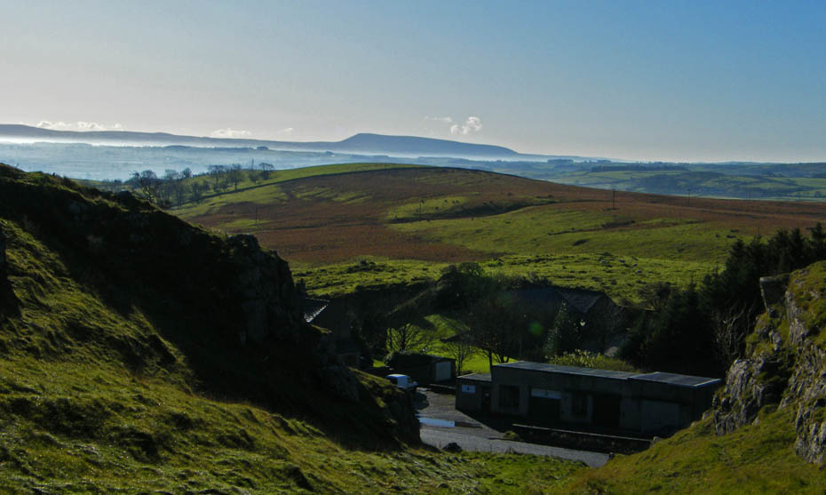
A distant Pendle Hill unfortunately into the morning sun
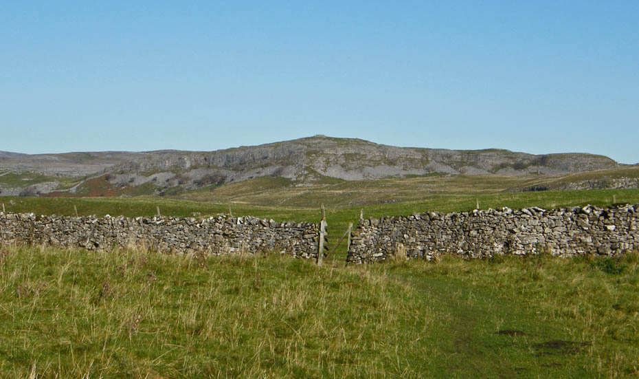
Although we rarely see anybody walking here it is well trodden and paths are plain to see.
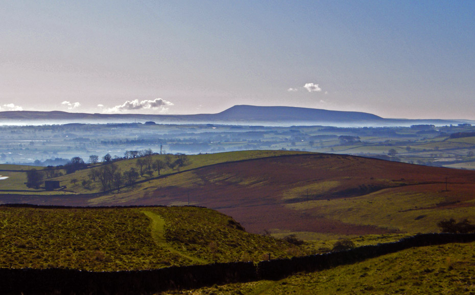
A look back to Pendle with a morning mist
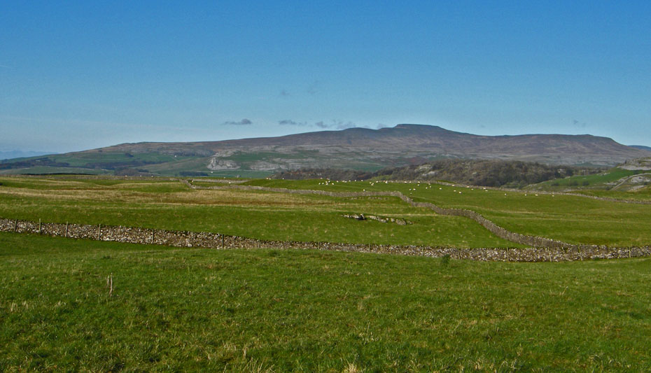
A first view of Ingleborough and Simon Fell.
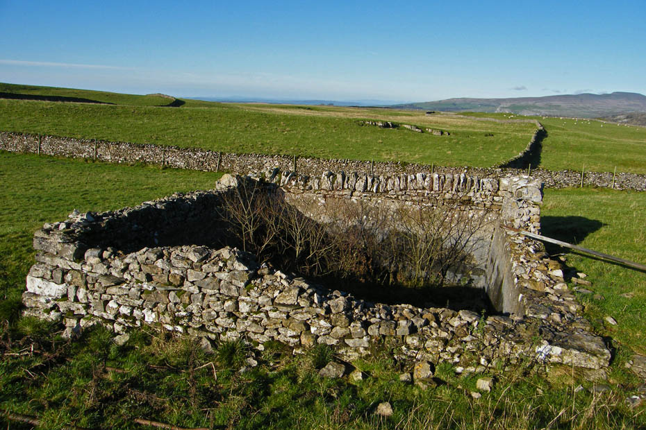
I'm not sure what this was, possibly an old reservoir. It was about 9feet deep. Although you can't see it on the picture there was a trickle of water coming out of the pipe on the right even though the top of the pipe was fully 2feet higher than the point it entered the ground.
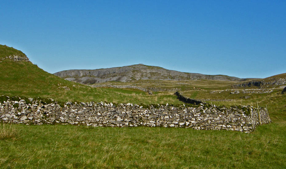
Smearsett Scar dominated our view ahead at this point.
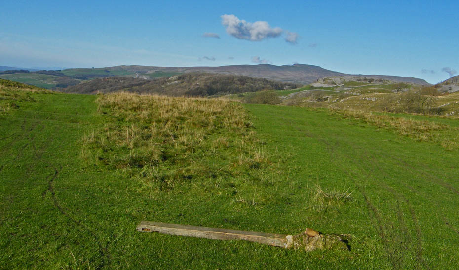
Ooops....The old fingerpost as seen better days on Feizor Thwaite. It marks the route between Feizor and Stackhouse. If in doubt head for Ingleborough.
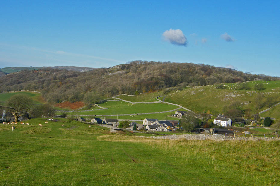
Before long the path starts its descent towards Feizor.
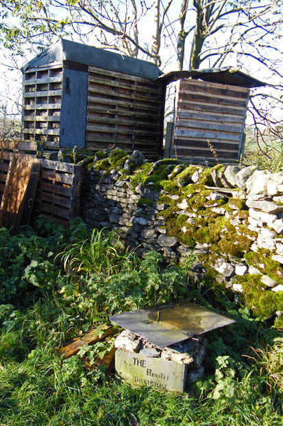
Even the treehouses here have there own nameplates.
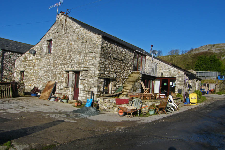
The cafe at Feizor.....we will return after a bit of walking.
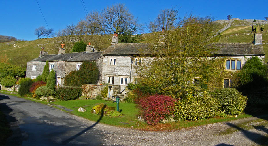
Delightful cottages....we are taking the track to the left which is part of the Pennine Bridleway.
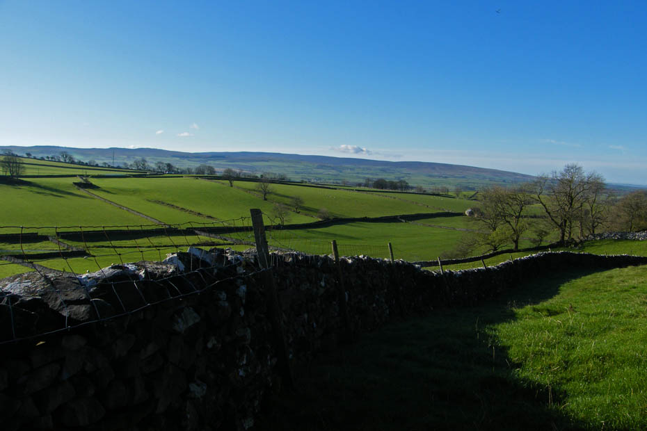
The moors of the Forest of Bowland
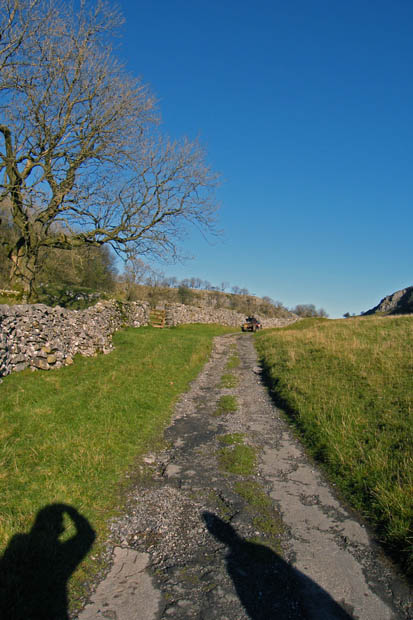
Nearly at the top of the path.
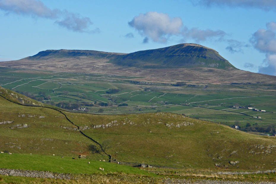
A short diversion gives this splendid view of my favourite of the YDNP 3 Peaks....Pen y ghent and its companion Plover Hill
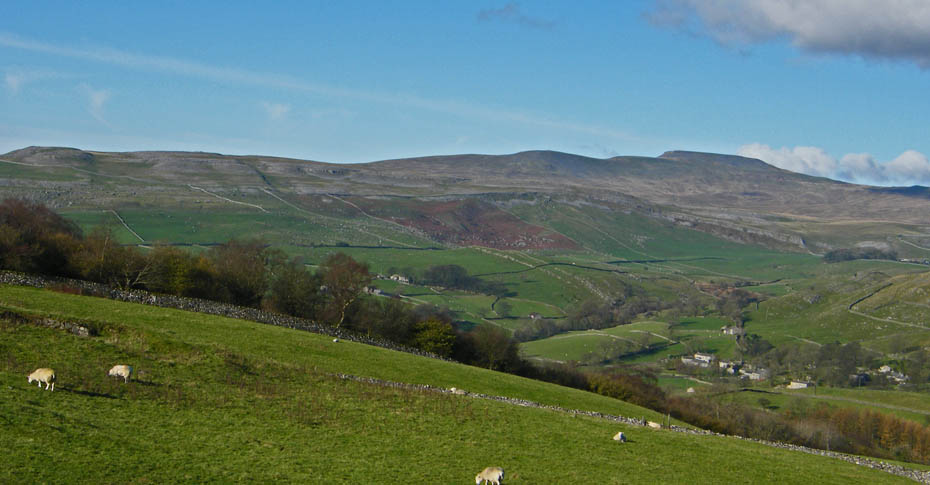
Ingleborough from the same spot.
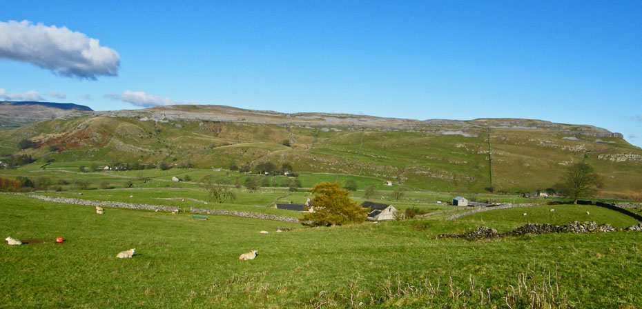
Moughton Scars
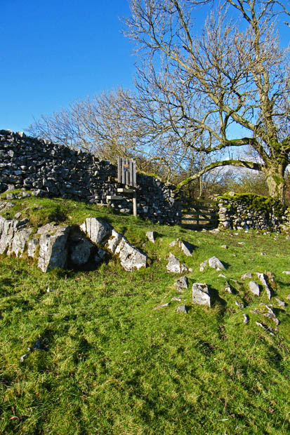
After returning to the Pennine Bridlewat we took this route through Wharfe and Oxenber woods
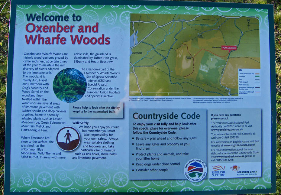
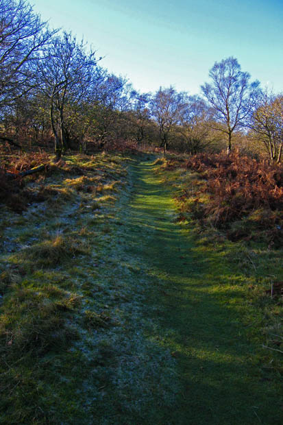
The routes through the woods are well waymarked
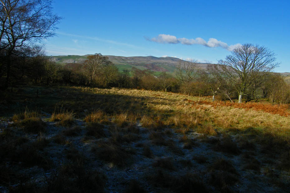
The ground is still frosted in the shade
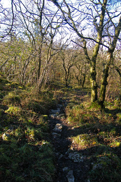
One or two sections where care is neede on wet & muddy limestone and roots
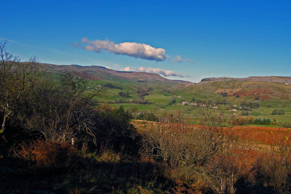
Glorious views
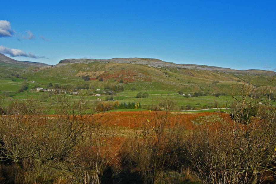
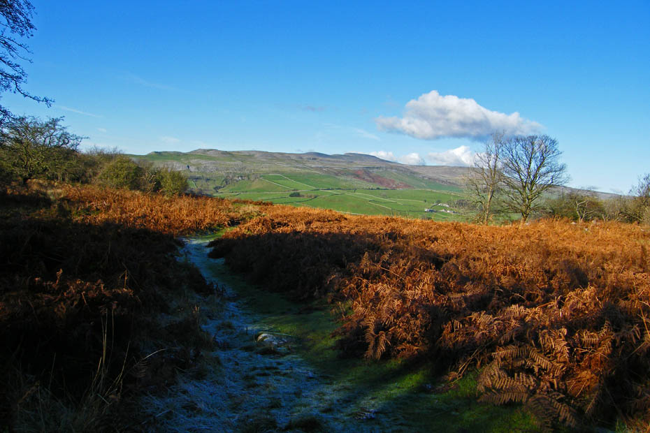
We are now heading in the general direction of Austwick
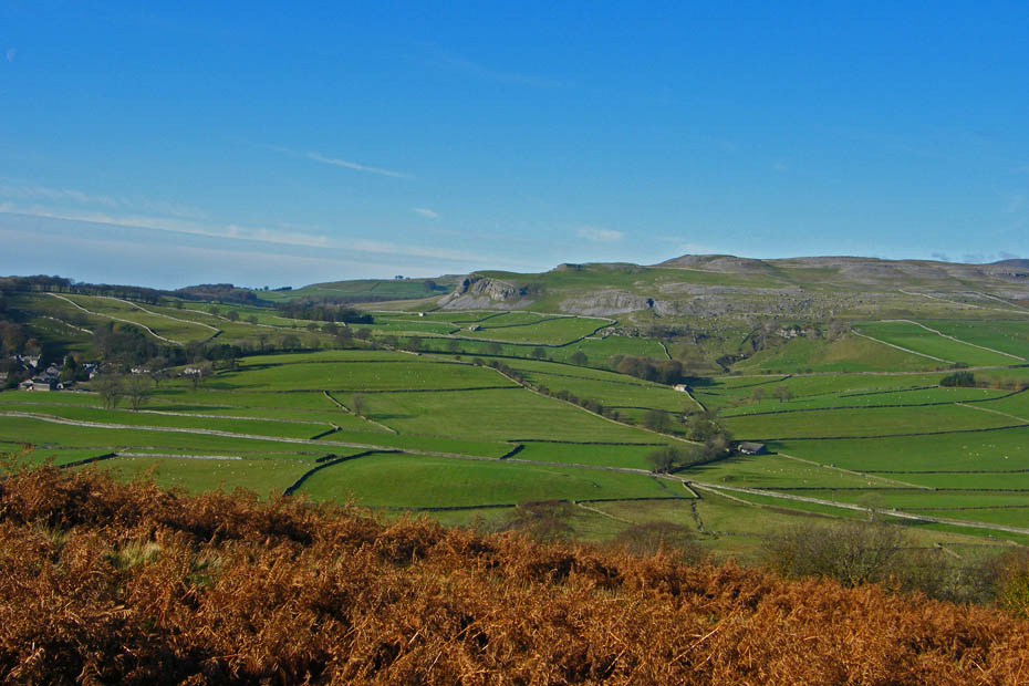
Austwick to the left with Robin Proctor's Scar & Nappa Scar on Norber across the valley
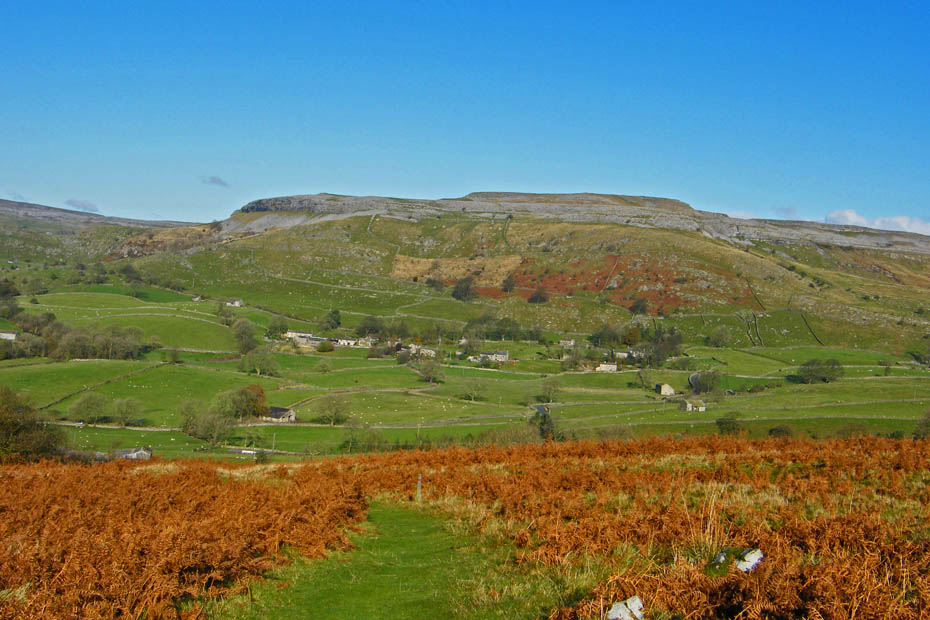
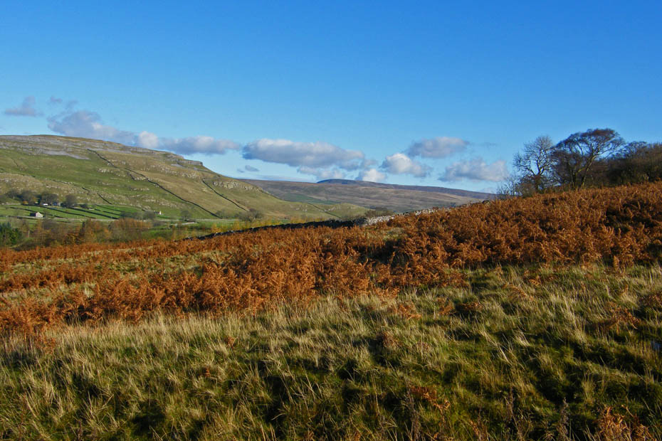
The top of Fountains Fell can just be seen in the far distance.
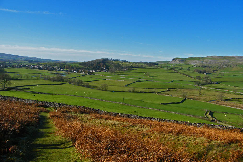
Almost down. From here we would go left along a series of walled lanes back to Feizor.
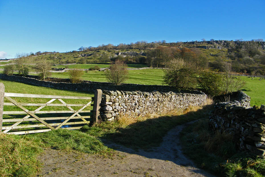
A look back from whence we came.
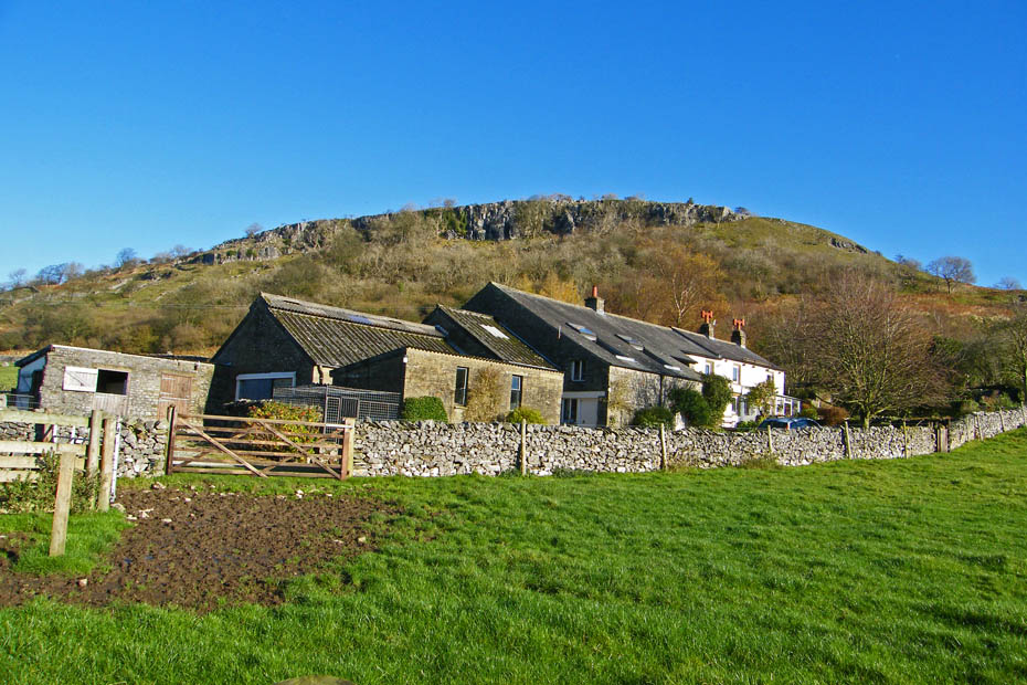
Wood House
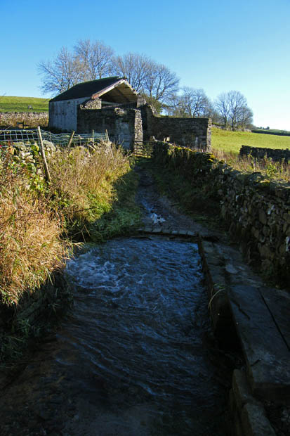
Approaching Meldings Barn where we took the path to the left, Hale Lane, back to Feizor
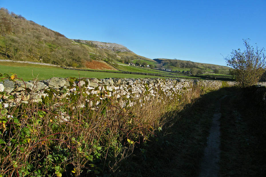
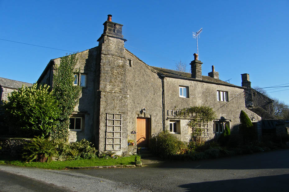
Old Hall Farm at Feizor.....next a visit to the cafe
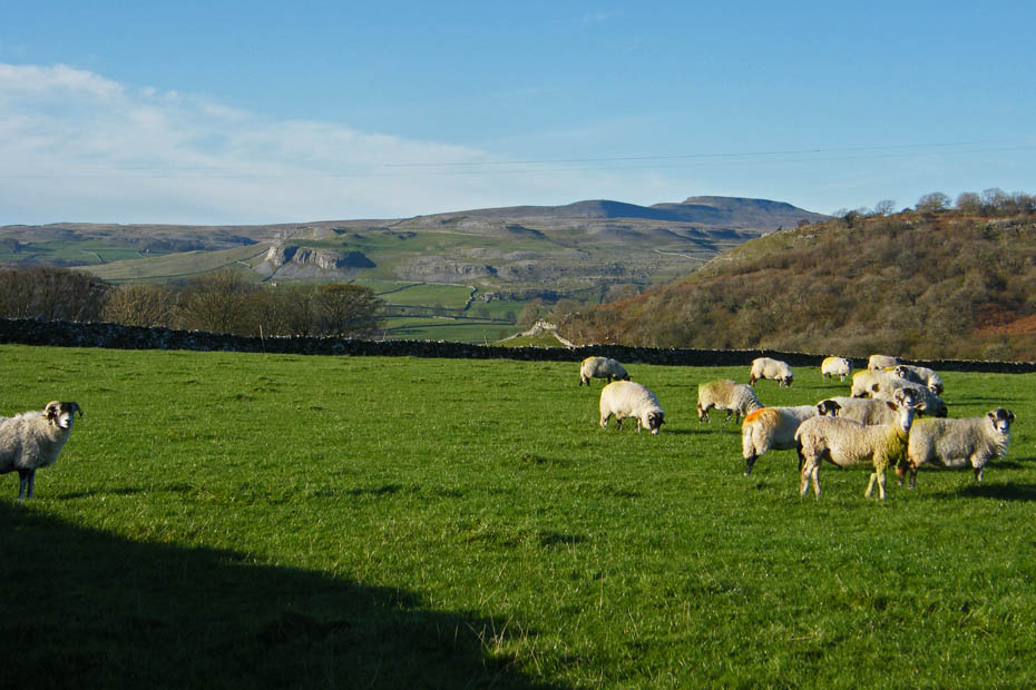
Our return to the car was down the quiet lanes of Feizor, here with a view to Ingleborough
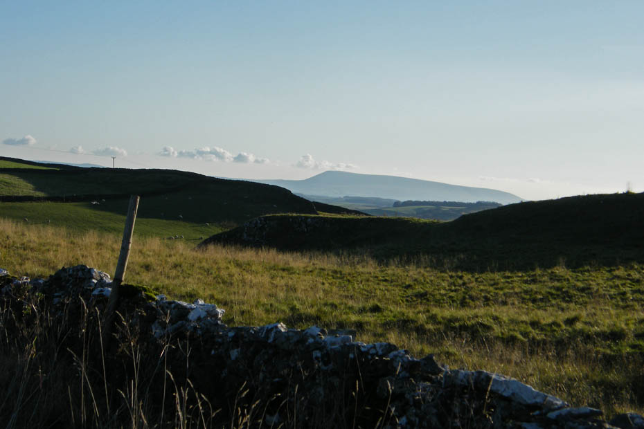
Pendle Hill to our south
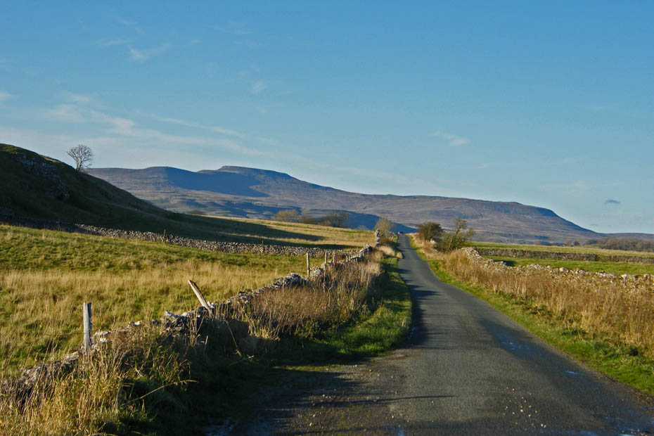
A last look back at Ingleborough and Simon Fell
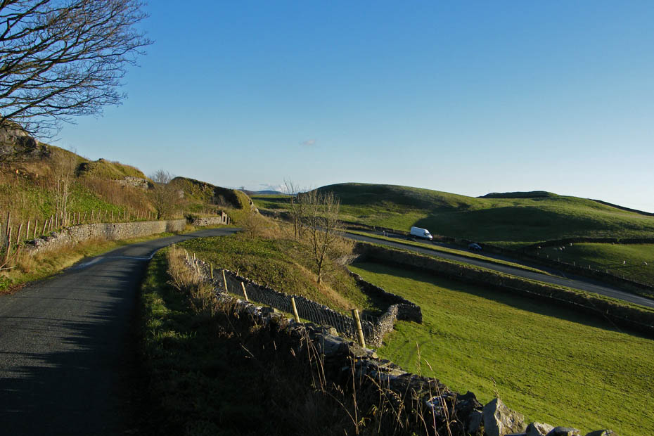
And finally back to the car.
Next Walk: 11th November 2009 - Lake District - Derwent Water circular
Last Walk: 8th November 2009 - Lake District - Torver Back Common & Cumbria Way
We hope you have enjoyed viewing this walk. If you have any comments please sign our Guestbook or E_Mail us.