
| Area: | Arnside & Silverdale | Ascent: | 440 feet |
| Walk No: | 343 | Time: | 3hours |
| Date: | 10th February 2010 | Parking: | Leighton Moss RSPB car park |
| Distance: | 5.75 miles | Weather: | Fine with sunny spells |
| Route: |
For those of you that are thinking of going onto the hills I would strongly recommend that you read the advice given by the Mountain Rescue organisation of England and Wales. To read this advice, which will open in a new page please click HERE. If you would like to make a donation to the Mountain Rescue organisation which is purely voluntary please click HERE. Please make the time to read the advice page.
I was by myself again today as my Son had gone into hospital at Kendal for a planned Gall Bladder removal. Edith therefore was looking after the youngest granddaughter. The Arnside & Silverdale area is roughly halfway between home and Kendal so I picked this walk for its handiness. The operation went well and Dave Jnr was released from hospital the following day and is now at home taking it easy.
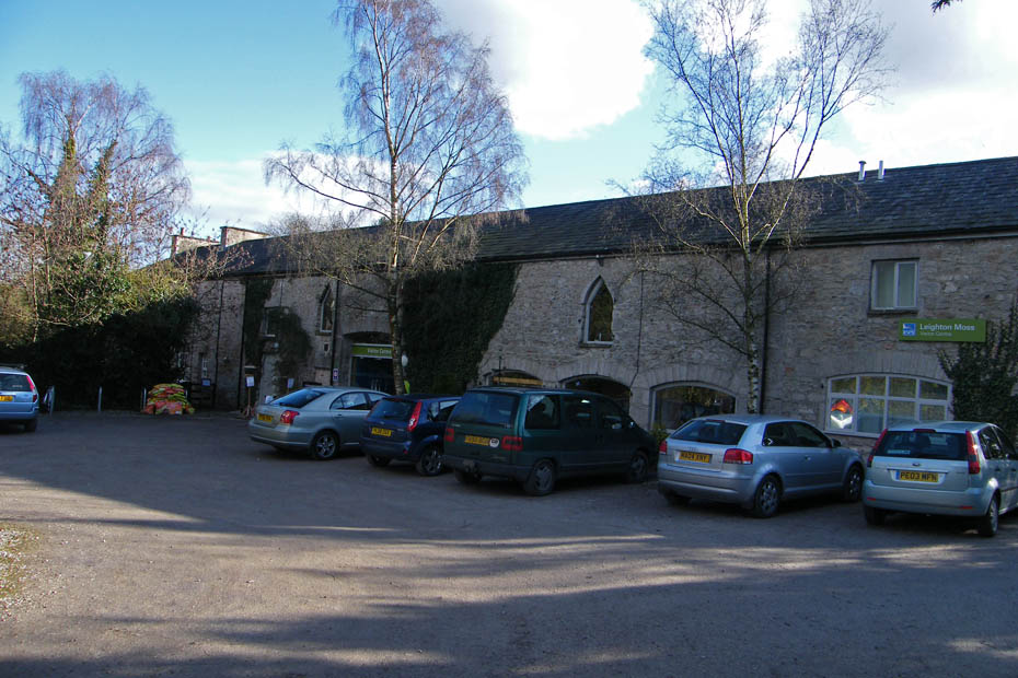
I left the car at the RSPB centre at Leighton Moss and walked a short distance along the road...
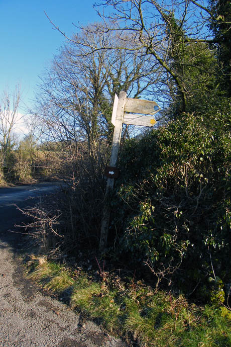
..to the signpost for the Moss and Leighton Hall
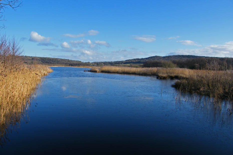
A look back along the causeway that crosses the Moss
"Got owt for me mate?"
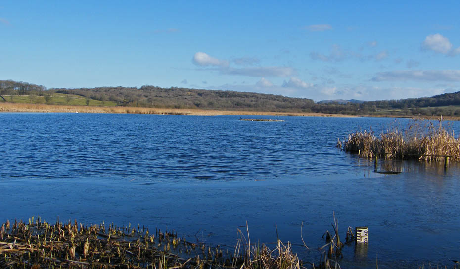
The main stretch of water from the public hide. No reflections today as there is a stiff breeze and the water nearest me as a film of ice on it.
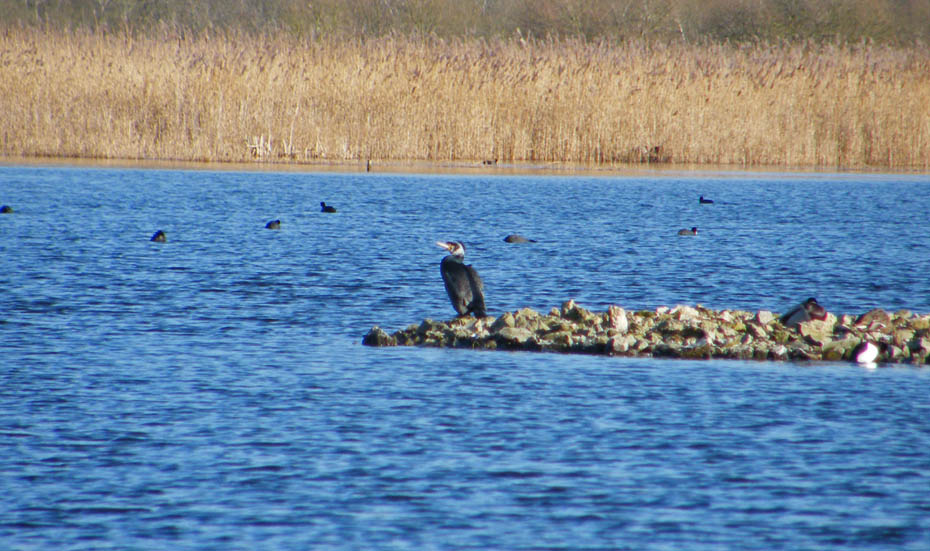
I noticed this cormorant spreading its wings but it refused to oblige again when I had it on a big zoom.
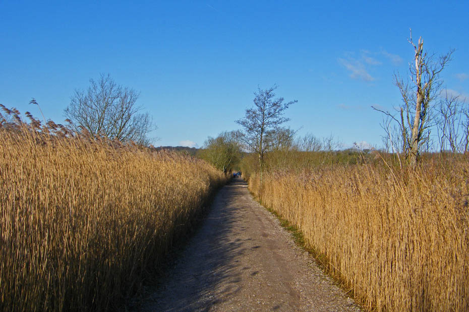
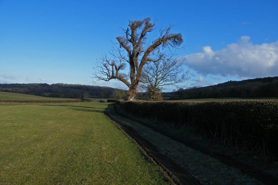
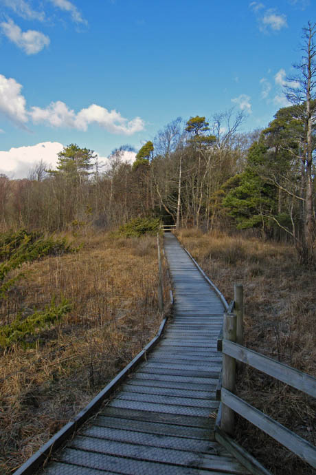
Continuing across the causeway.
Even my favourite spot refused to give any relections apart from a few clouds in the thin ice.
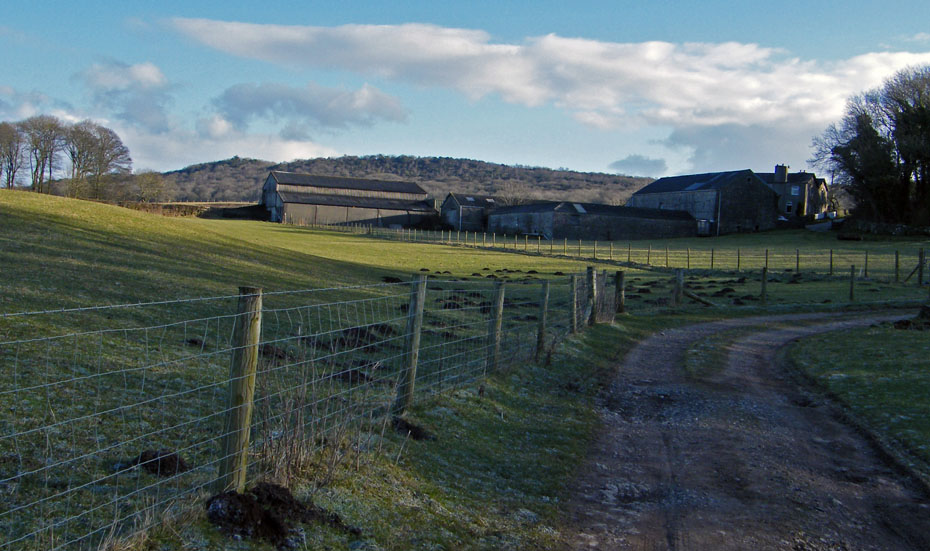
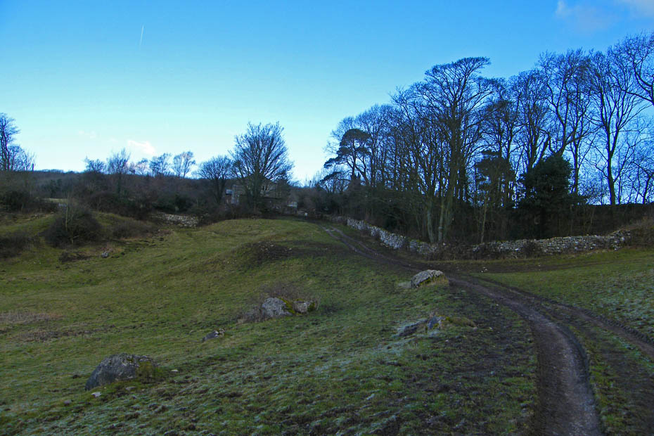
The track continues towards Grisedale Farm seen ahead.
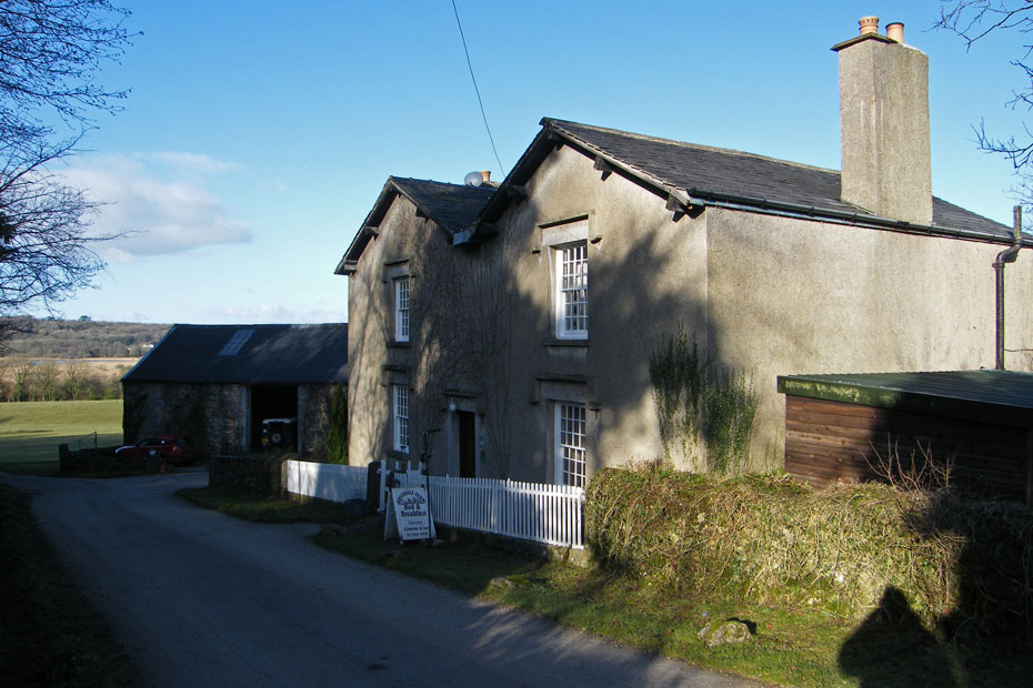
Passing by Grisedale Farm. The lane continues to Leighton Hall and is virtually traffic free.
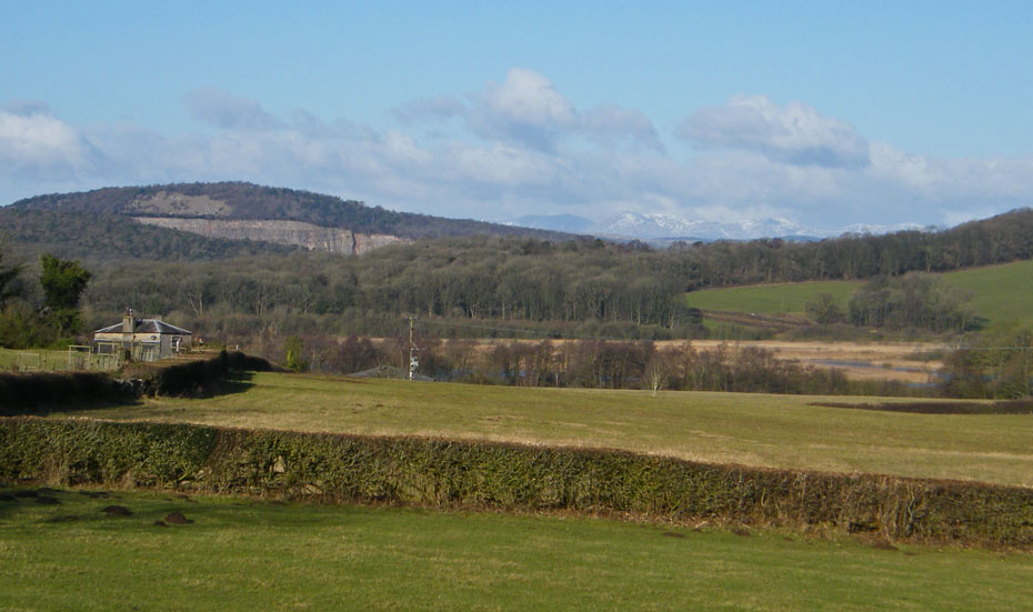
A look back gives views of Arnside Knott over the quarry face of the disused Middlebarrow Quarry. To the right the Coniston Fells.
After crossing a small cattle grid I left the lane at this point to take paths across the fields to Yealand Storrs.
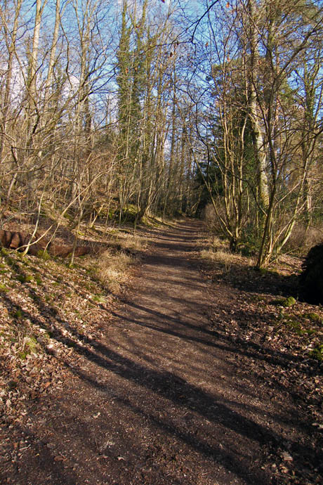
This path can be muddy underfoot when wet but today after an overnight frost the ground was firm.
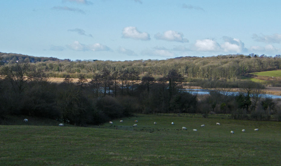
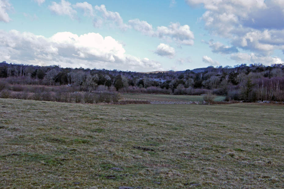
Looking down on Leighton Moss.
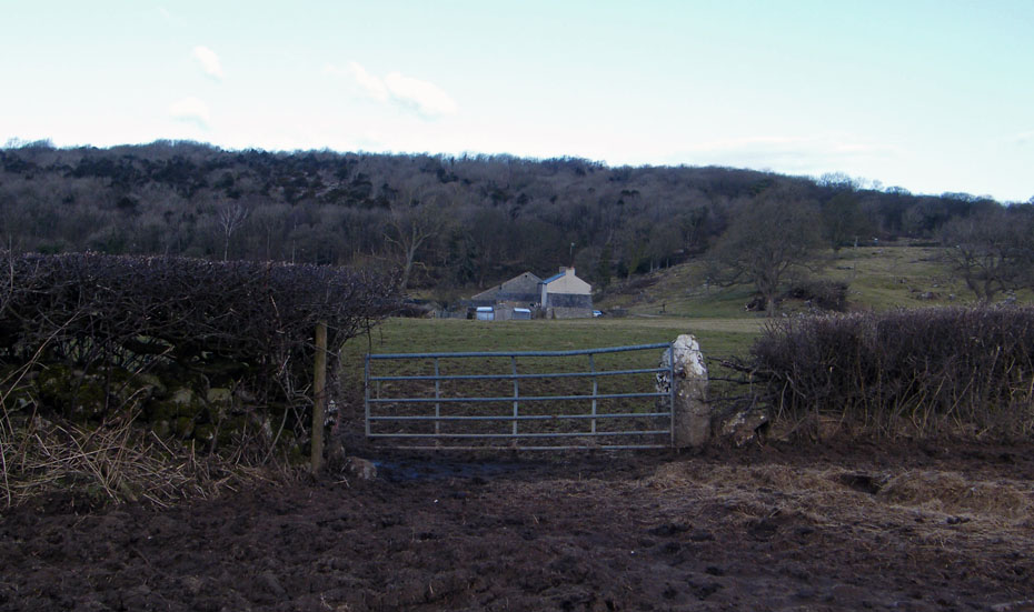
Passing by Brow Foot farm and the light is funny at the moment. To my left is in bright sunshine...
...but overhead this is taking my light.
I am now approaching Yealand Storrs. I will emerge onto the road running through the village.
..but a short walk down the road will take me to the Yealand Hall Allotment and a path to Hawes Water
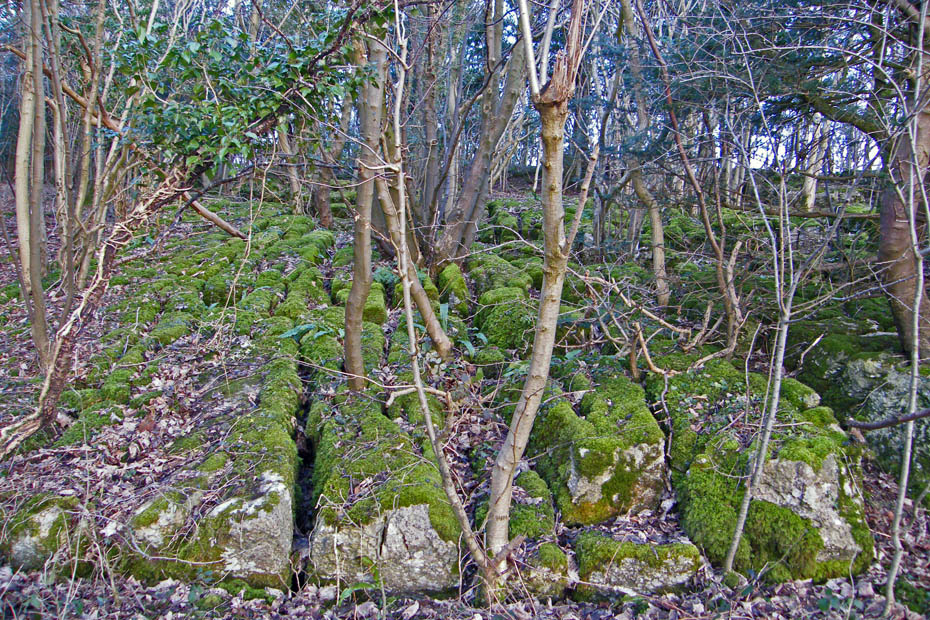
On the path to Hawes Water and there is some wonderful limestone pavement. The slabs are called "Clints" and the fissures between them are called " Grikes" or "Grykes"
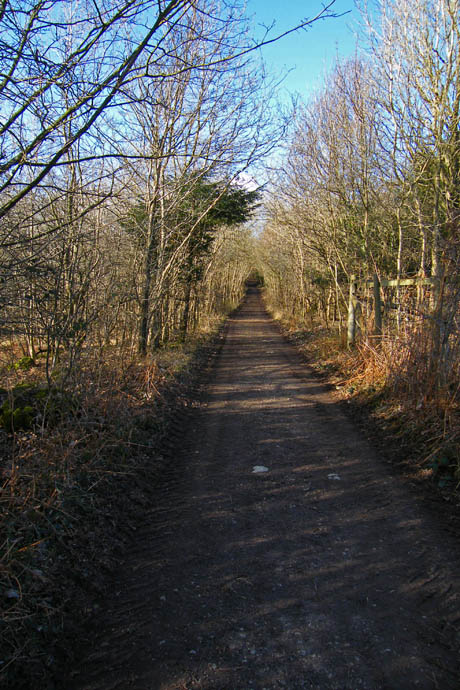
An easy path to follow will eventually bring you to a gate (locked) and a wall stile.
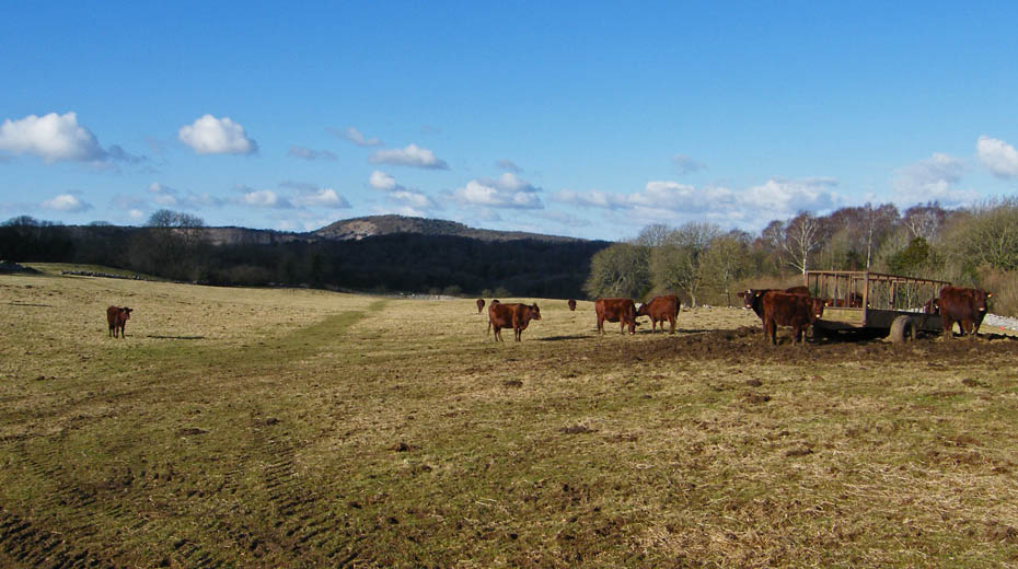
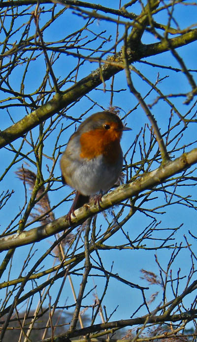
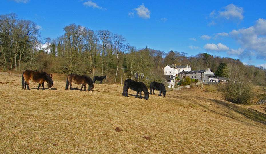
A gentle stroll along the path shown......don't worry about the locals, they're very friendly here.
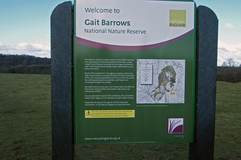
At the next wall go through the gate to enter the Gait Barrows Nature Reserve which is home to a number of Britains rarest wild flower the Ladys Slipper Orchid.
A final walk down brings you to ....
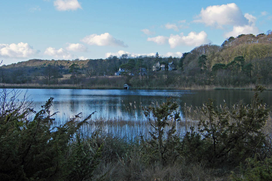
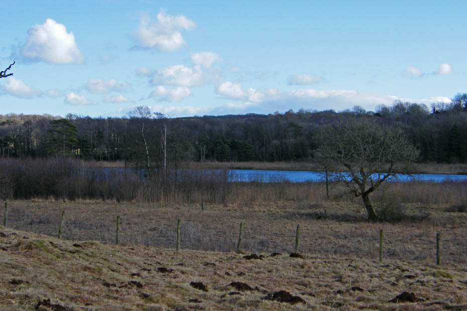
Hawes Water and a look over to Challan Hall
The raised boardwalk areas can be slippy but don't last long before I join the path going round the water.
I am now on t'other side of Hawes Water walking across the fields on a permissive path below Challan Hall
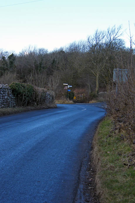
A look back to Challan Hall as I make my way to Red Bridge Road.
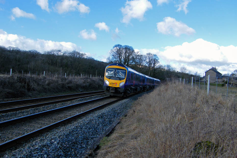
But first there's the railway line to cross. I heard this one coming from Arnside station not too far away.
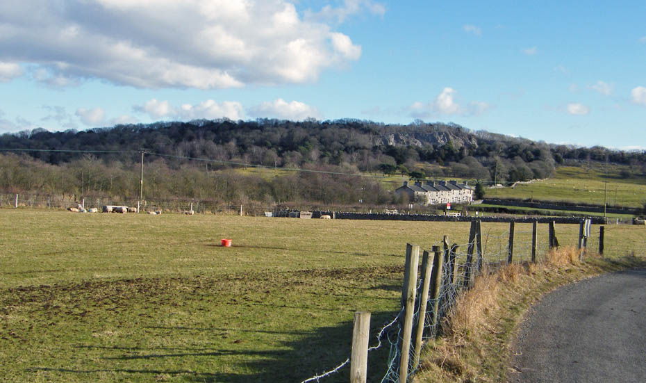
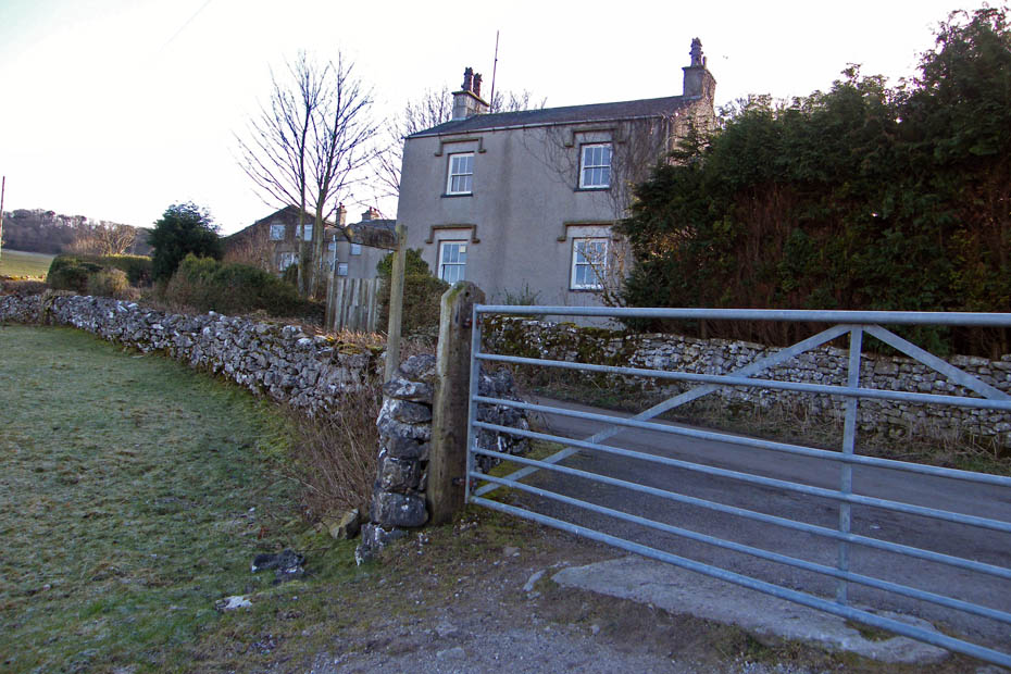
I am now on the Red Bridge road and looking towards my next objective....Trowbarrow whose quarry face can be seen above the cottages.
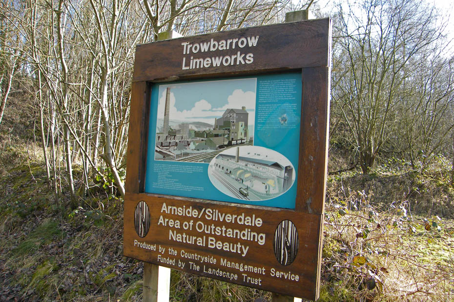
This site as a big place in British history as it was the birthplace of tarmacadam.
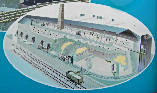
An illustration of a Hoffman Kiln which were used to burn limestone at very high temperatures. The limestone turned to a powder (lime) which was used in mortar, steel smelting, making pottery, plaster for buildings and other uses. There is a similar kiln in Ribblesdale near Settle which I hope to visit soon.
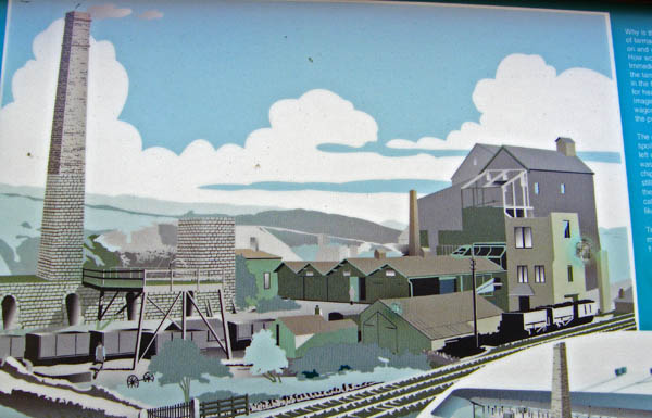
An illustration of the coating works where the tarmacadam was produced. All traces of the industry are now virtually gone.
A short article on the industry.....HERE
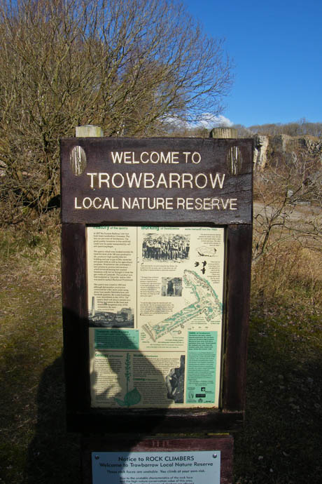
A short walk took me to the quarry itself. Now a Nature Rerserve it is also popular with the rock climbers.
For a lot more pictures of the quarry in detail look HERE
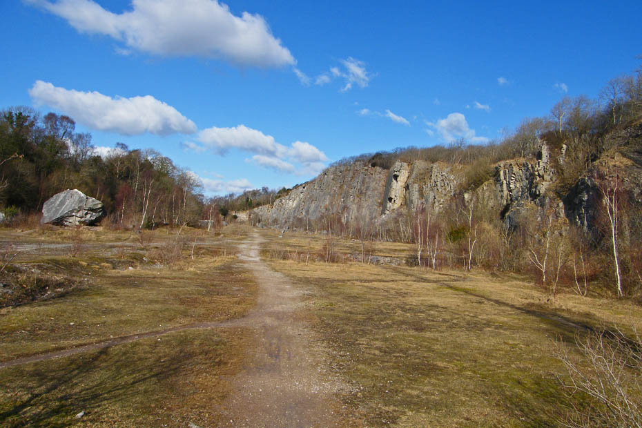
A look along the quarry as I prepare to leave. The big rock on the left is known as the "Shelter Stone". It is where the quarrymen would shelter when blasting was carried out.
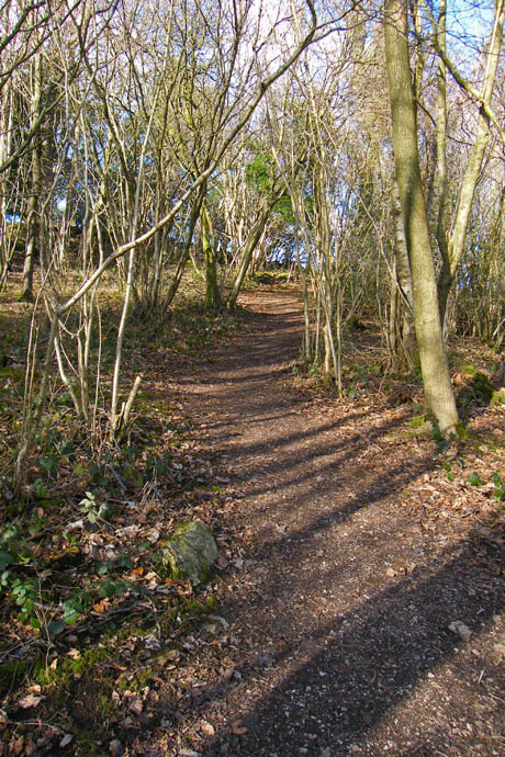
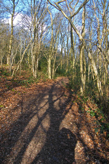
This path at the south end of the quarry (shown as The Trough on the map) will lead me to the road near Leighton Moss.
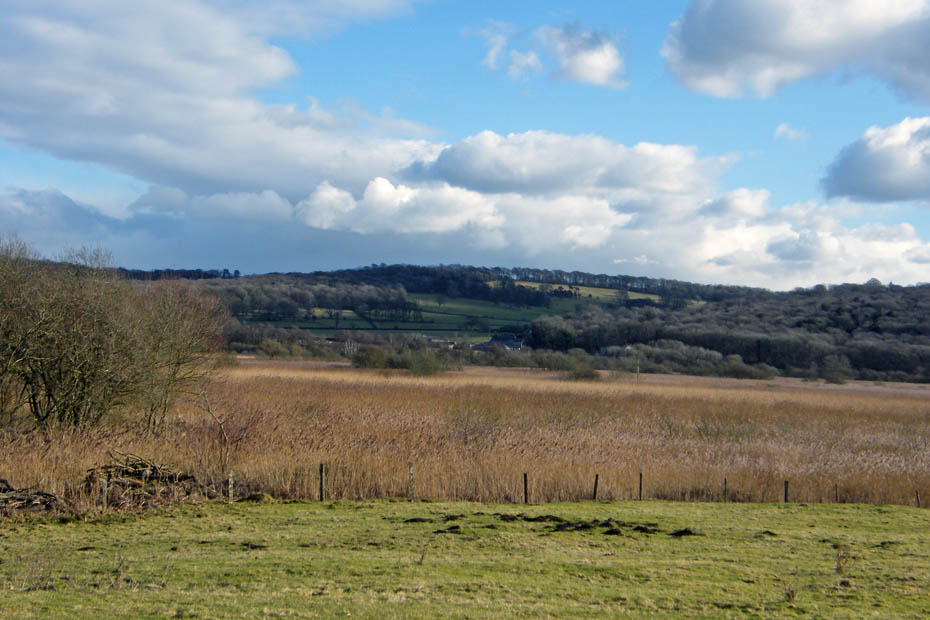
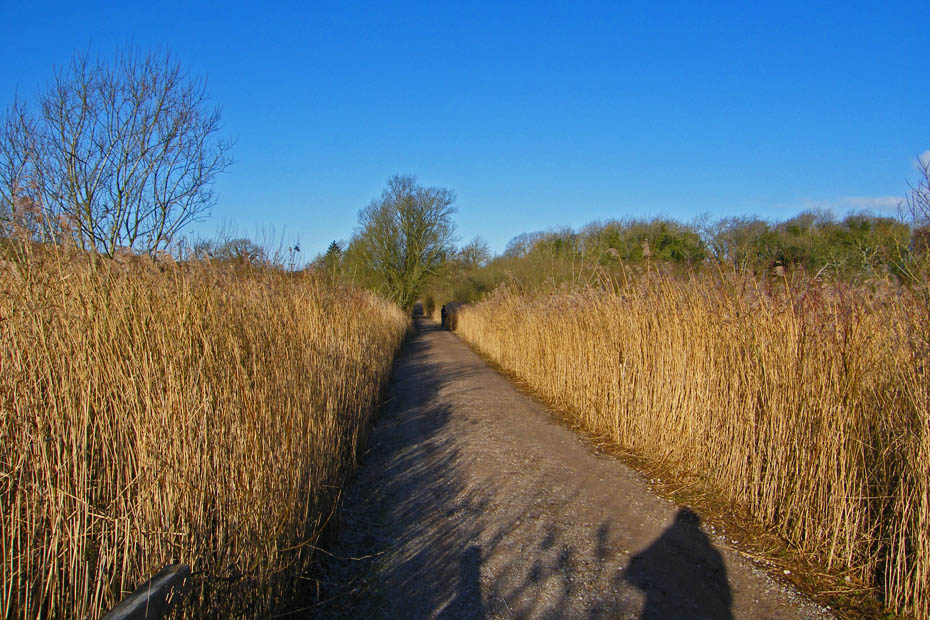
The reedy part of the moss as I follow the road back.
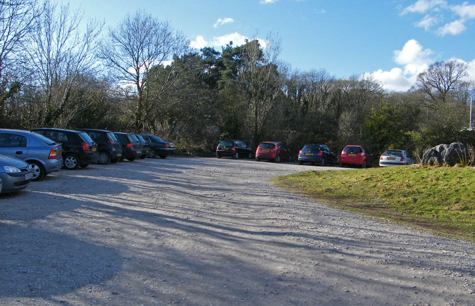
And finally....back to the car park.
Next Walk: 11th February 2010 - Lake District - A gorgeous walk to Orrest Head
Last Walk: 9th February 2010 - Arnside & Silverdale AONB - A Silverdale saunter
Do you have a Facebook or Twitter account. We post regular updates on both. Just click on either of the links below.
![]()

We hope you have enjoyed viewing this walk. If you have any comments please sign our Guestbook or E_Mail us.
