| Area: | Arnside & Silverdale | Ascent: | 330 feet |
| Walk No: | 342 | Time: | 2hours 40minutes |
| Date: | 9th February 2010 | Parking: | Crag Foot |
| Distance: | 5.25miles | Weather: | Fine, dull at first then sunny spells |
| Route: | Car - Jenny Browns Point - Jack Scout - Gibraltar - Woodwell - Silverdale - The Row - Car |
For those of you that are thinking of going onto the hills I would strongly recommend that you read the advice given by the Mountain Rescue organisation of England and Wales. To read this advice, which will open in a new page please click HERE. If you would like to make a donation to the Mountain Rescue organisation which is purely voluntary please click HERE. Please make the time to read the advice page.
By myself today as Edith was at her brothers for the day. With a few decent days of weather forecast I just wanted something that wouldn't beggar me up for the the next day. What could be better than the beautiful Arnside & Silverdale AONB, no mountains or lakes but plenty of easy walking in a wonderful enviroment.
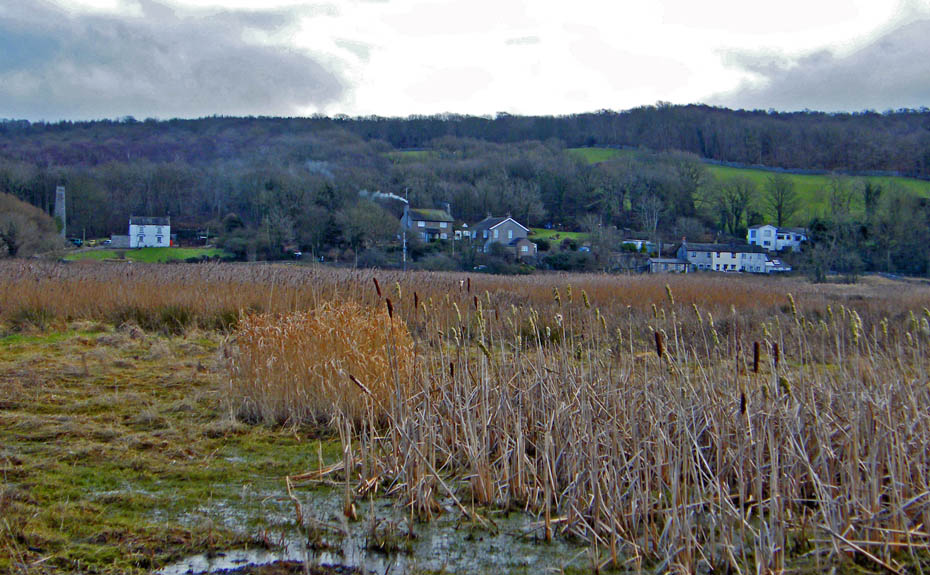
I left the car near Crag Foot shown here and set off for Jenny Browns point.
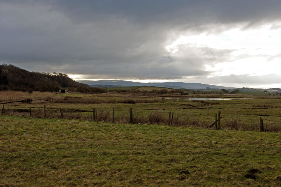
It was a dark morning at first with this big dark cloud hanging over the Bowland hills of Wards Stone and Clougha Pike.
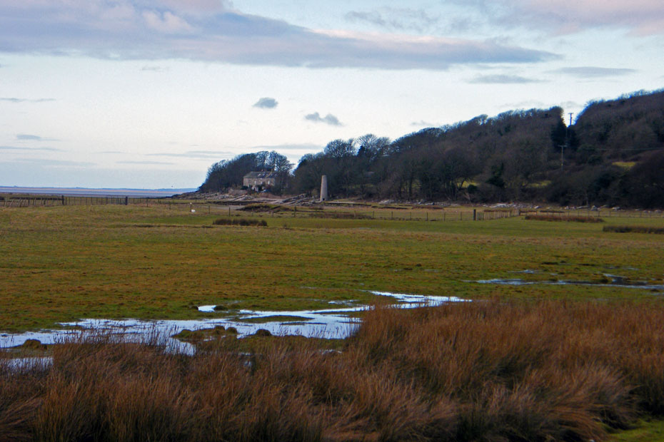
My first objective was Jenny Browns point shown here. My route is first along a causeway to prevent flooding and then along the foreshore.
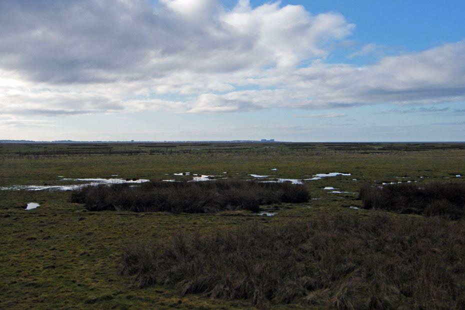
Looking south across the salt marsh and down the bay towards home. The Salt marsh looks extensive but it is receeding.
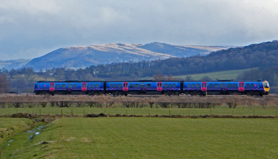
A big close up off Farleton Fell just as the Barrow - Lancaster train passes by.
Leaving the causeway I now walk along the foreshore which is nothing like it was a few years ago. The gully on the left was only a small one then, now it is 30 yards wide in places.
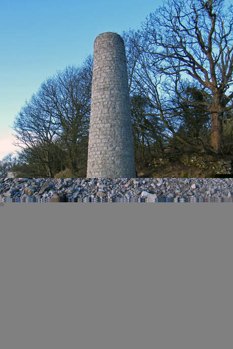
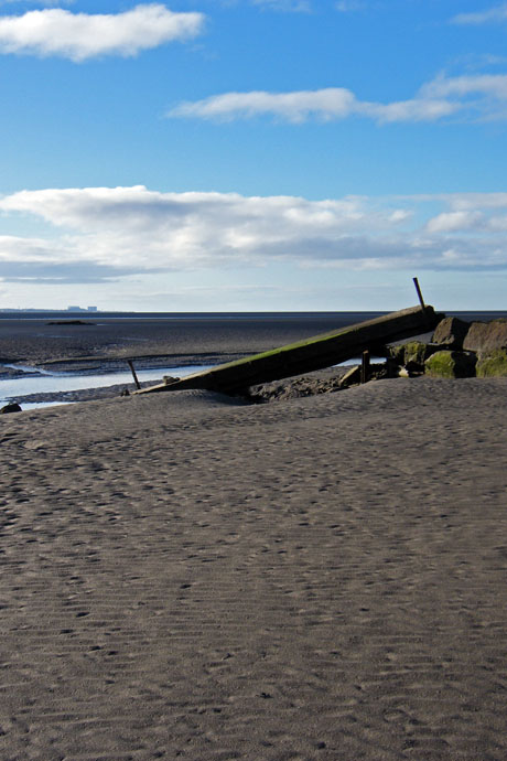
The smelting chimney used to be surrounded by grass and on the right are the remains of a bridge that used to cross a gully. With the gully widening and the marsh receeding it as now collapsed into the gully.
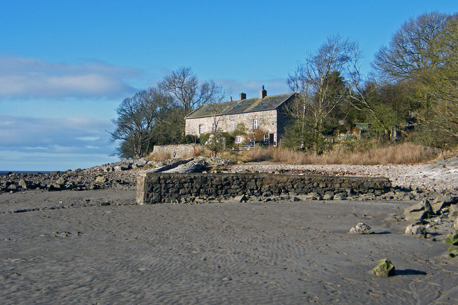
The wall-like structure is actually the "road" leading to the bridge. The salt marsh would have been level with the top of it.
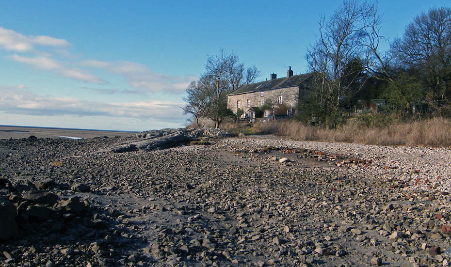
Browns Cottages at Jenny Browns point.
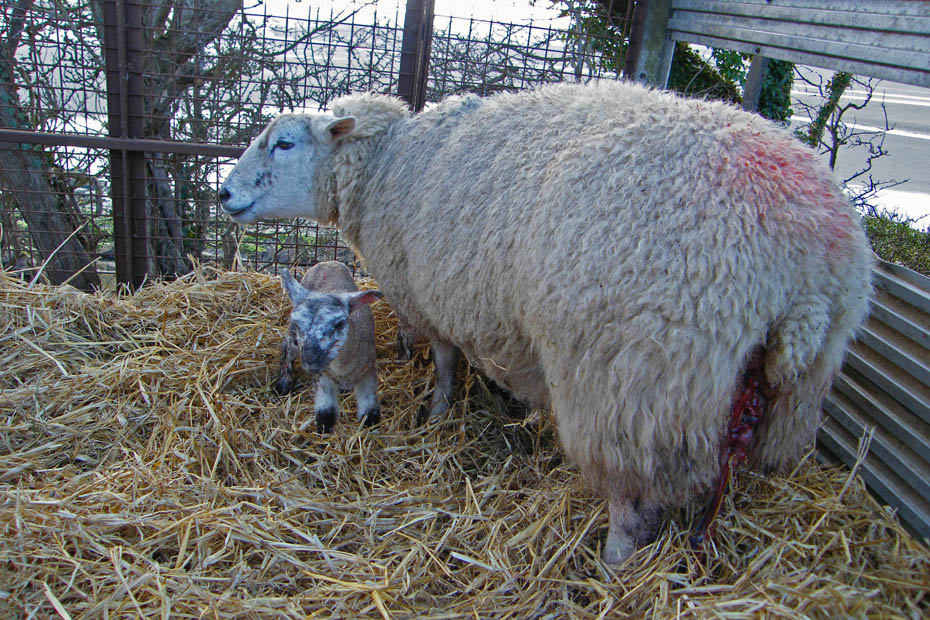
As I was walking along the lane to Jack Scout I passed the farmer from Gibraltar Farm along the lane. In a trailer was this recently born little chappie. There was a twin but that one was camera shy. Sadly in another trailer was the other side of the coin, a ewe that had died whilst lambing.
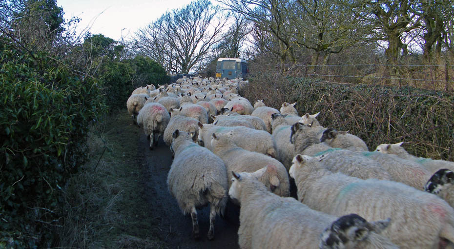
It's follow my leader time as the farmer takes them back to the farm.
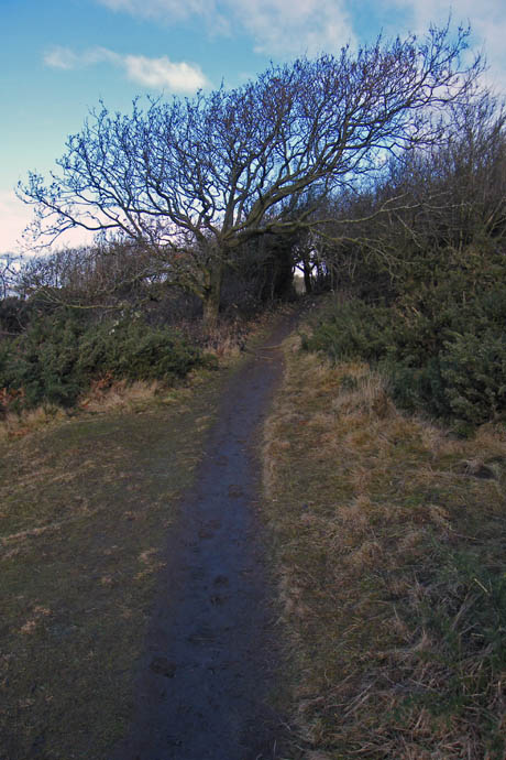
I have now entered an area called Jack Scout which is owned by the National Trust. It is always a pleasure to walk through here and makes a fine picnic place.
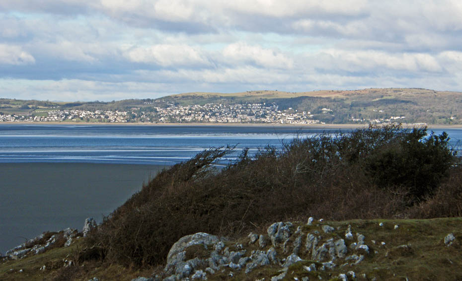
Looking over where the River Kent which drains the fells of Kentmere enters Morecambe Bay to Grange over Sands and the Outlying Fell of Hampsfell.
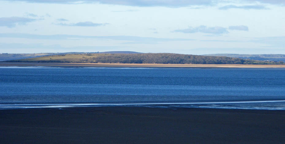
Looking down the bay to another Outlying Fell ....Humphrey Head which at a majestic height of 172 feet meens even I can do this.
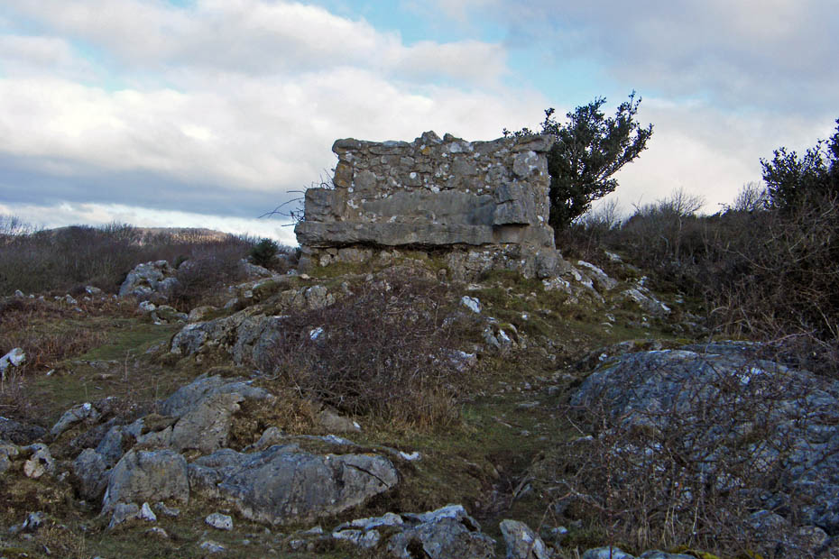
The Giant's Seat at Jack Scout.
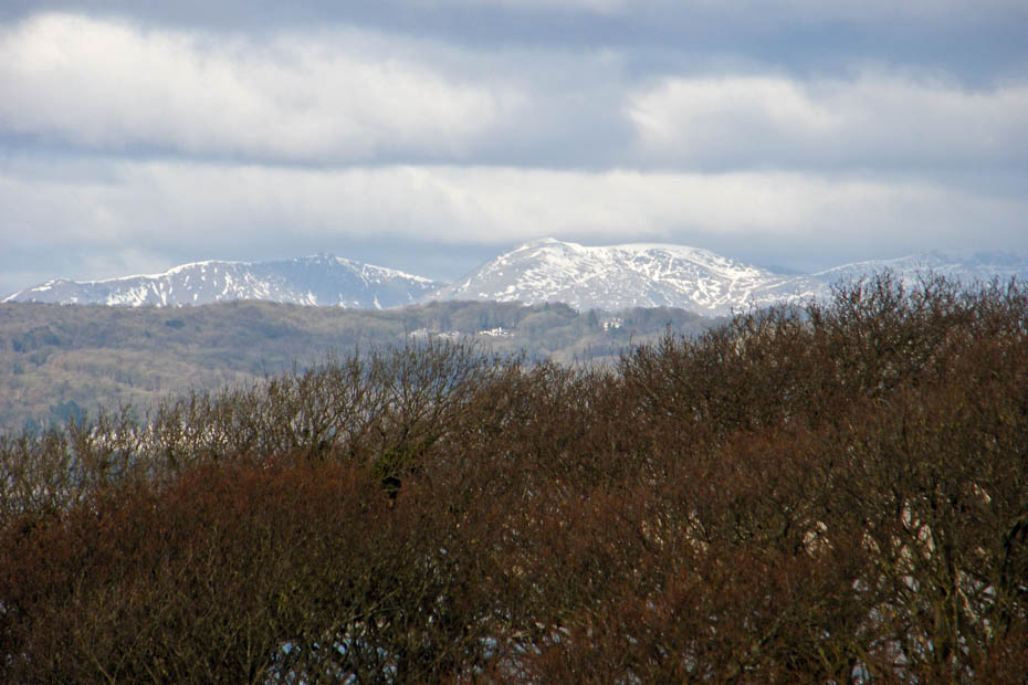
With a little help from the seat a view of the Coniston Fells
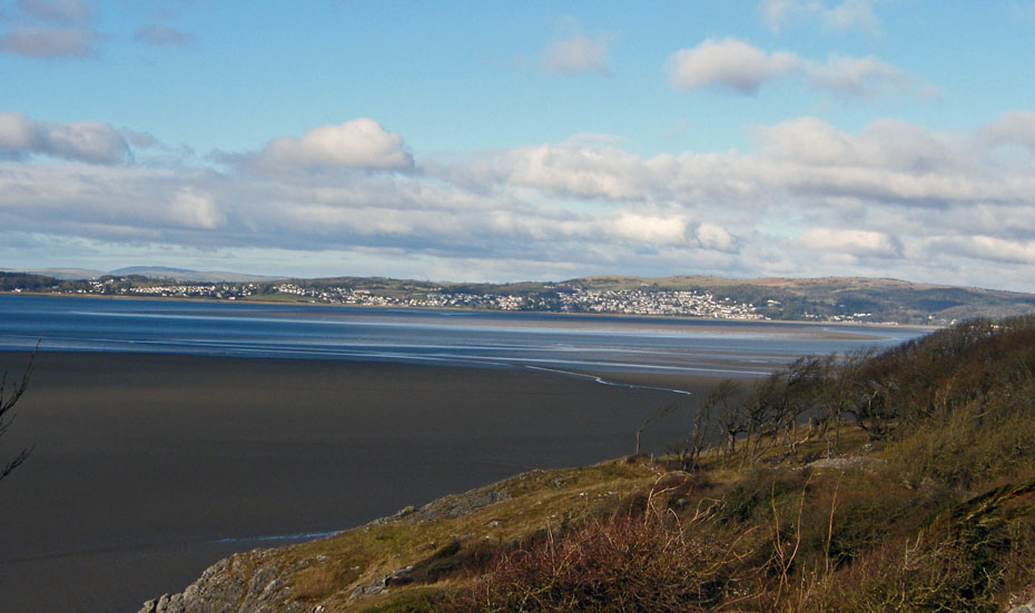
Making my way along the path back to the lane. The little dark bit on the left hand side of the picture is yet another Outlying Fell...that of Black Combe
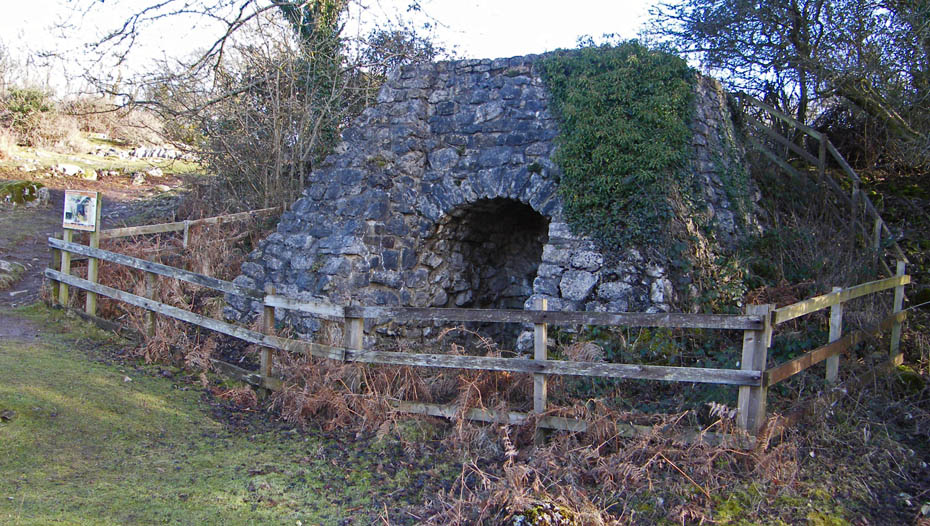
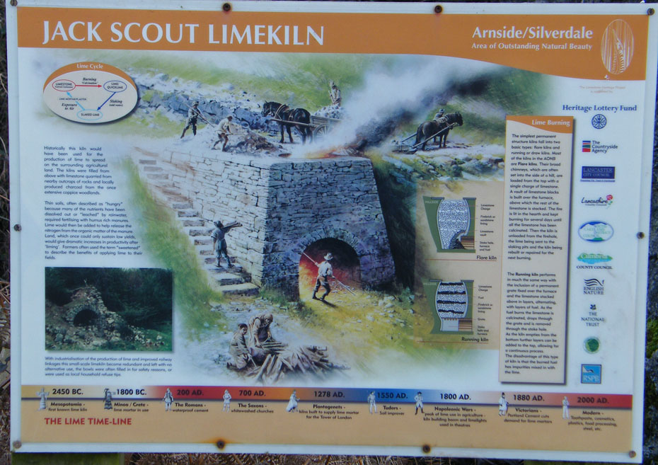
An old Limekiln as I leave Jack Scout
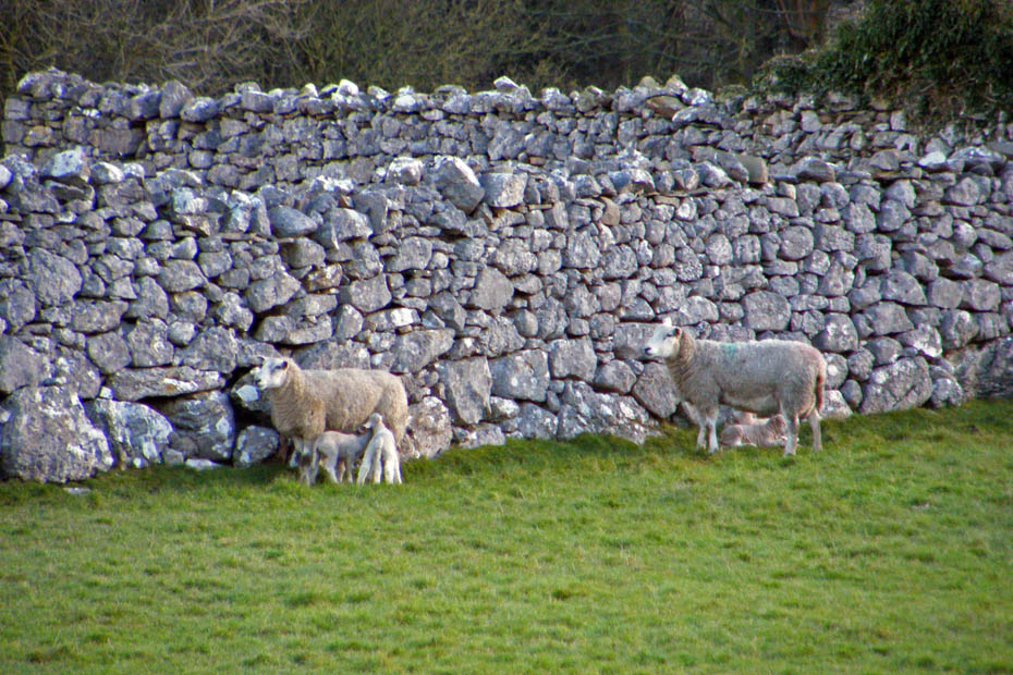
Walking along the lane to Gibraltar I came across these youngsters making the best of a little sun but sheltering behind the wall from a nippy North breeze
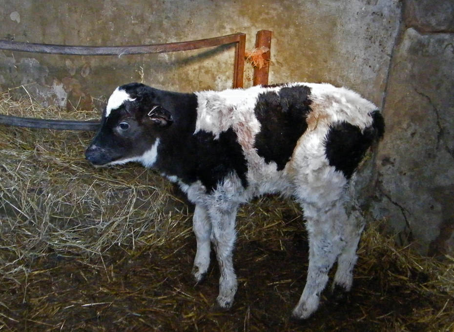
Spotted this little chappie in a outhouse at Gibraltar farm.
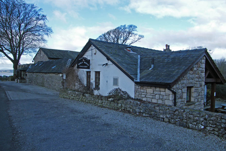
The Wolf House Gallery. Well worth a visit and there's a cafe!
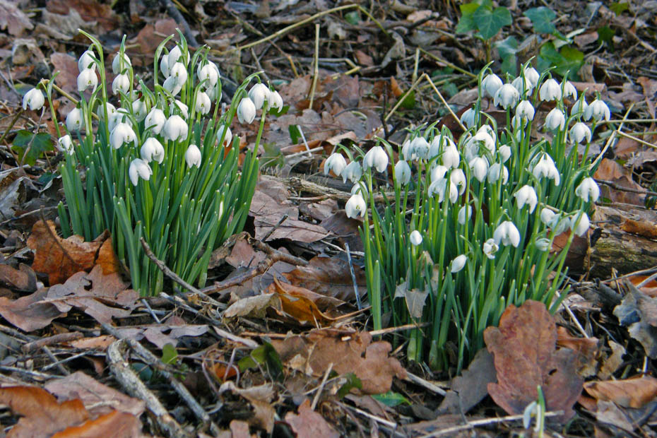
There are lots of these about now as I made my way to Woodwell.
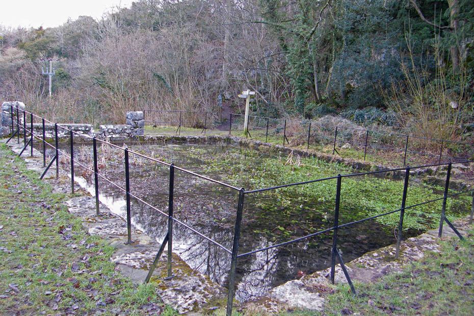
The pond at Woodwell which I can never seem to capture right.
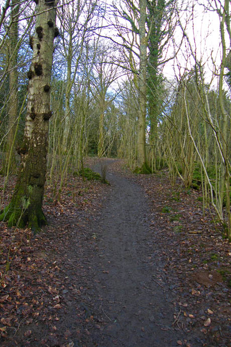
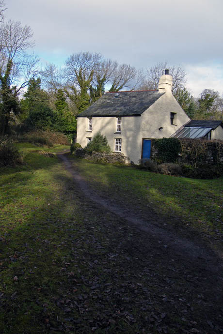
A walk through Bottoms Wood and past Woodwell Cottage....
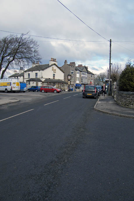
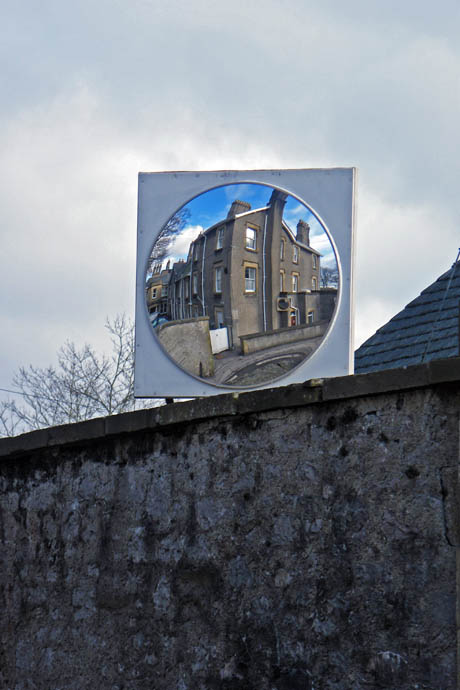
brought me into the village of Silverdale which I walked through until picking up a path near the church....
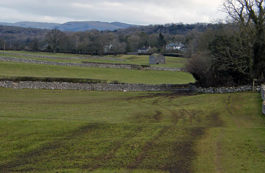
which would take me across the recently slurried field path towards The Row.
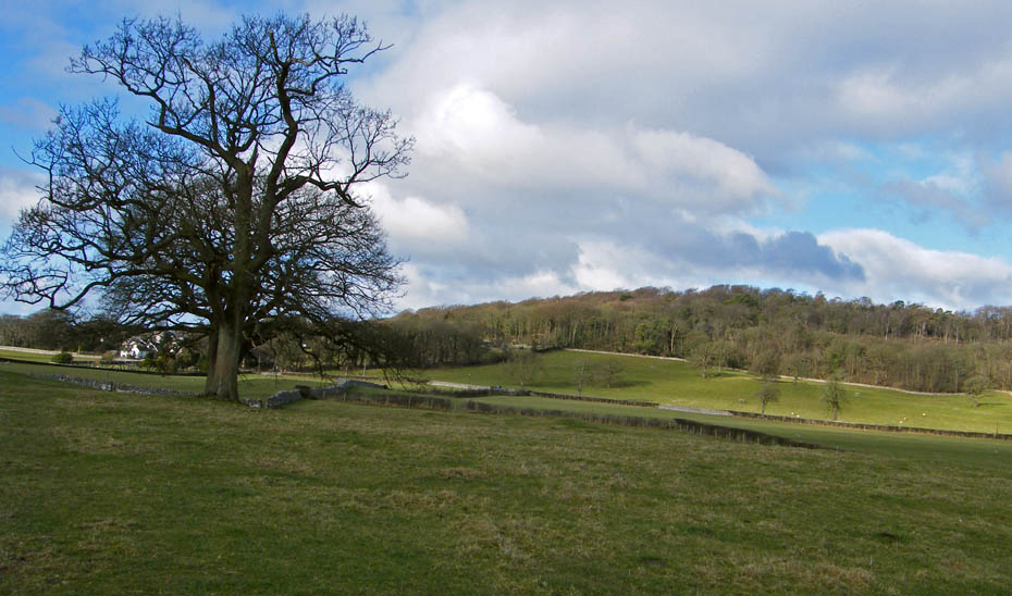
Eaves Wood from the field path
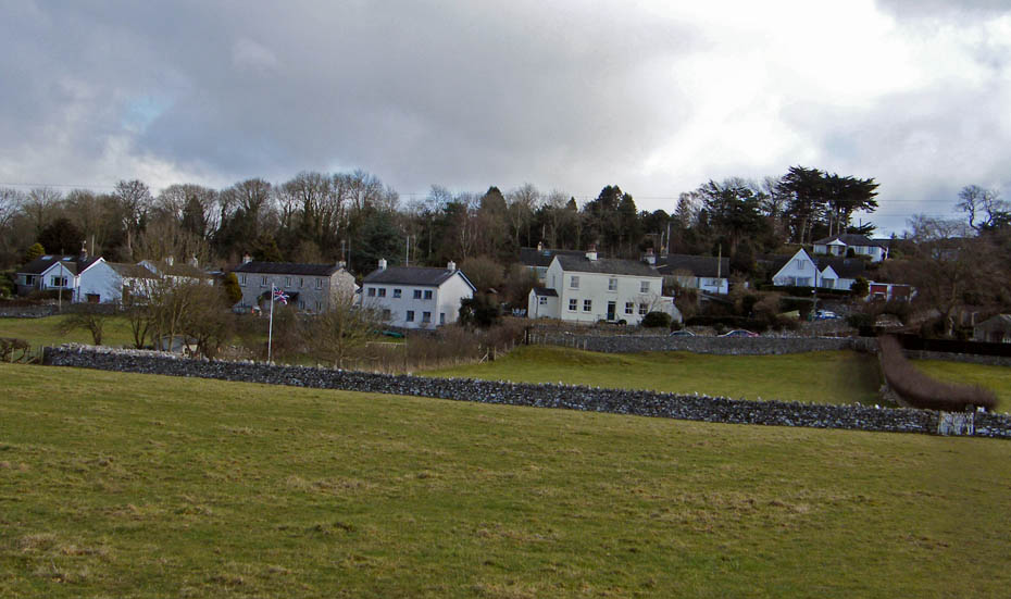
Almost at The Row..
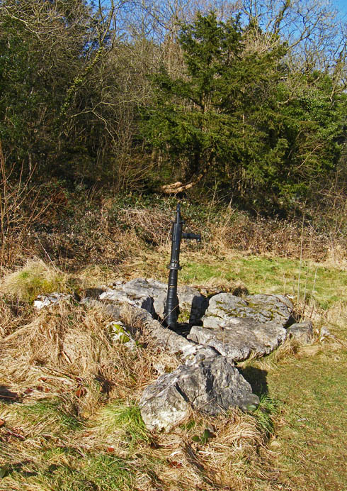
A short walk through the woods near The Row revealed this old well and pump but I'm beggared if I can remember its name!!
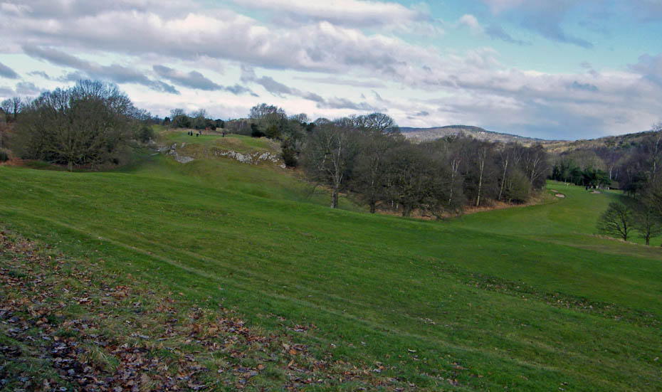
Passing by Silverdale Golf Course on my way back to the car.
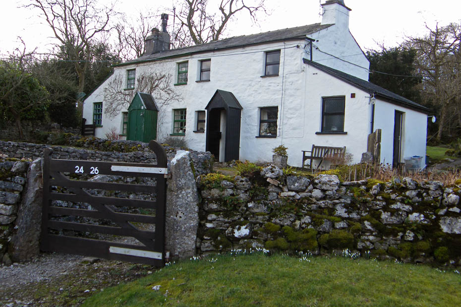
A pair of delightful cottages
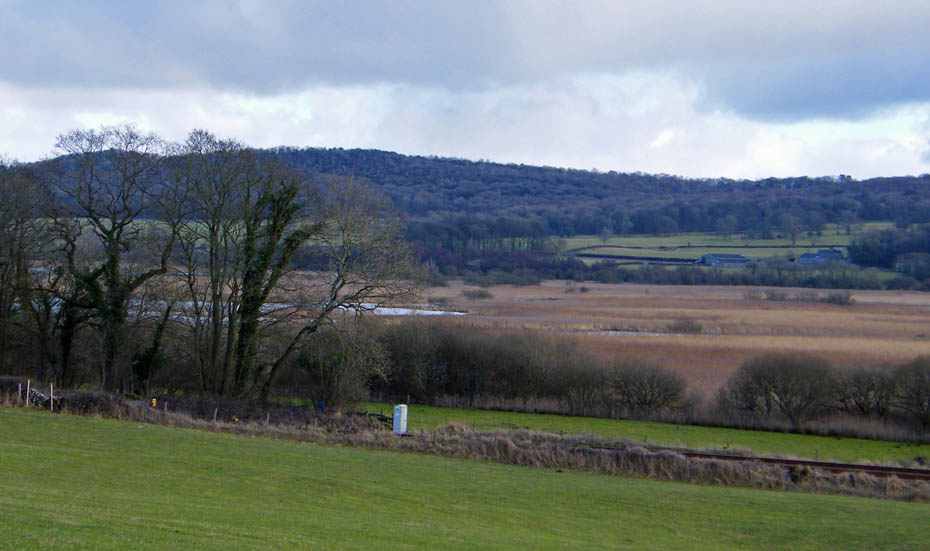
A look over Leighton Moss to Grisedale Farm on the right.....hmmmm maybe tomorrow
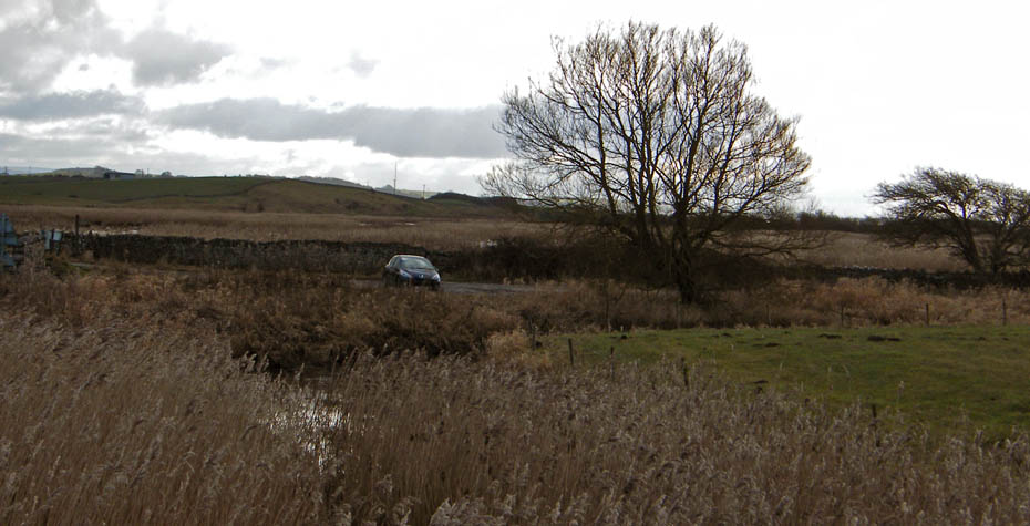
And finally.....back to the car.
Next Walk: 10th February 2010 - Arnside & Silverdale AONB - A circular of Leighton Moss
Last Walk: 6th February 2010 - Lake District - An alternative Yewbarrow
Do you have a Facebook or Twitter account. We post regular updates on both. Just click on either of the links below.
We hope you have enjoyed viewing this walk. If you have any comments please sign our Guestbook or E_Mail us.