| Area: | Lake District (SE) | Ascent: | 560feet |
| Walk No: | 341 | Time: | 3hours |
| Date: | 6th February 2010 | Parking: | Mill Side |
| Distance: | 5.75miles | Weather: | Fine & Sunny |
| Route: |
For those of you that are thinking of going onto the hills I would strongly recommend that you read the advice given by the Mountain Rescue organisation of England and Wales. To read this advice, which will open in a new page please click HERE. If you would like to make a donation to the Mountain Rescue organisation which is purely voluntary please click HERE. Please make the time to read the advice page.
We set off from home in dense fog, at times visibility was down to 20 or 30 yards but once clear of Carnforth the day started brightening and we arrived at Mill Side in brilliant sunshine.
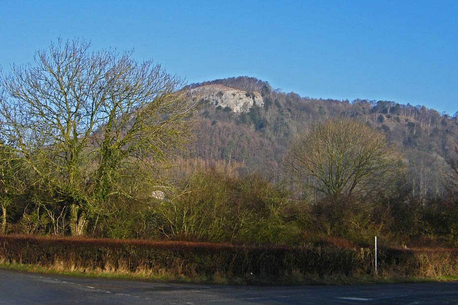
Wbitbarrow from our parking space.
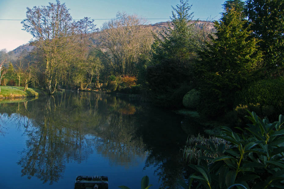
A short walk up the lane to Mill Side and the pond near the phone box.
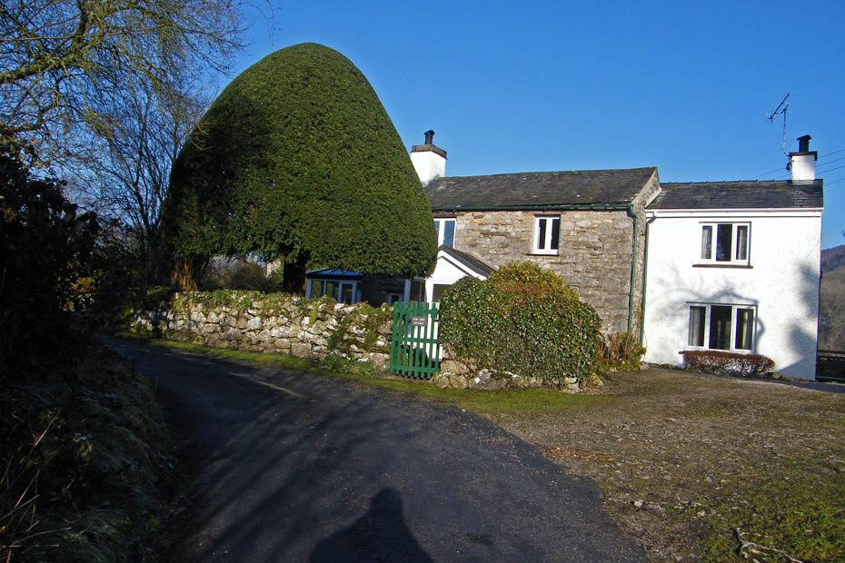
Yew Tree Cottage
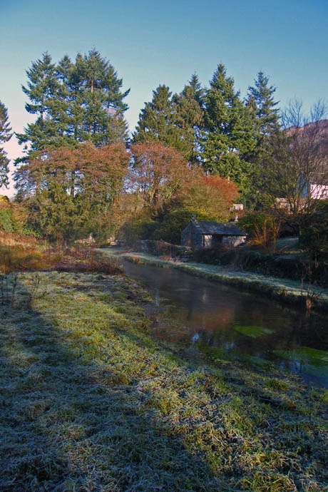
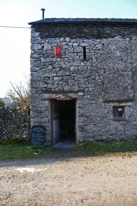
We continued along the lane to Beck Head and then past the "Hikers Rest" a self service cafe.
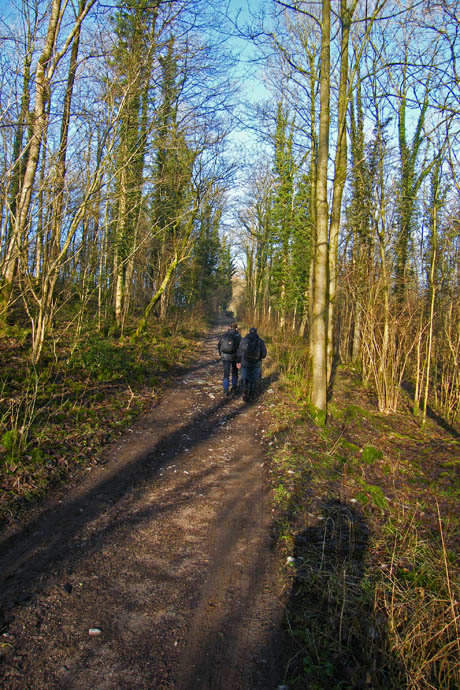
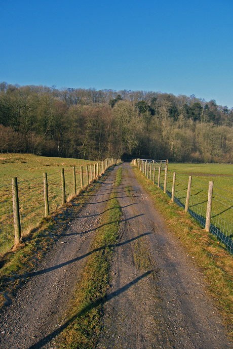
From Beck Head the lane continues to join a minor road which we followed towards Witherslack Hall.
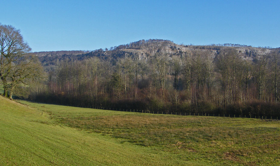
First views of Chapel Head Scar on Whitbarrow
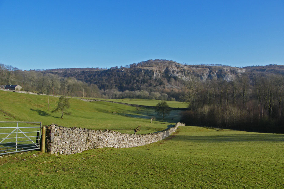
As we progressed along the quiet road towards Witherslack Farm the views of the scar opened.
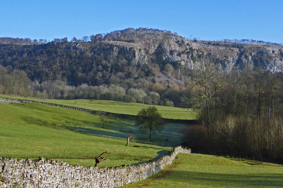
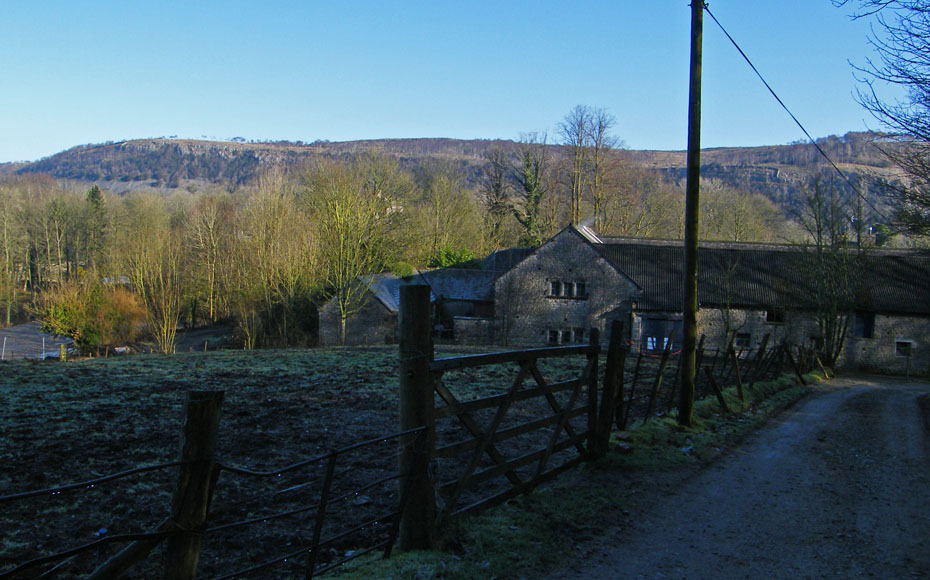
At Witherslack Hall farm we took a bridleway on the left but only followed it for a few yards before turning left on another track to Lawns House
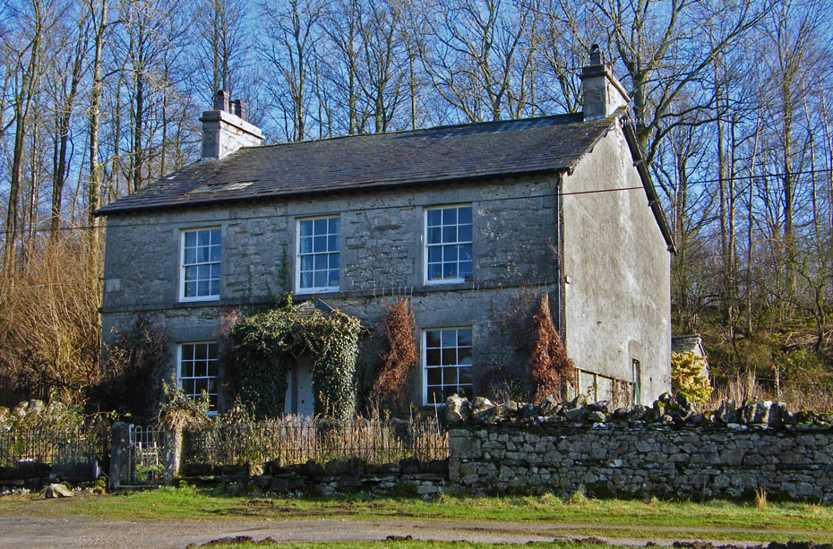
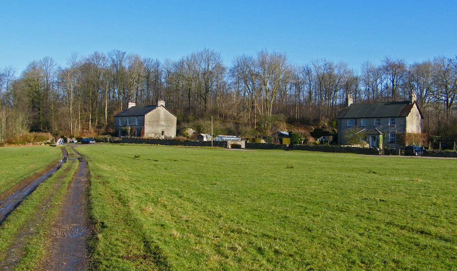
I'm not sure which, if either is Lawns House but what a lovely location.
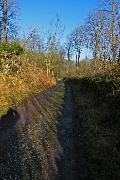
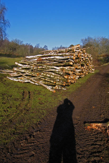
After walking across the field we took the bridleway along this lane. To access Yewbarrow just turn up the fields after the woods finish.
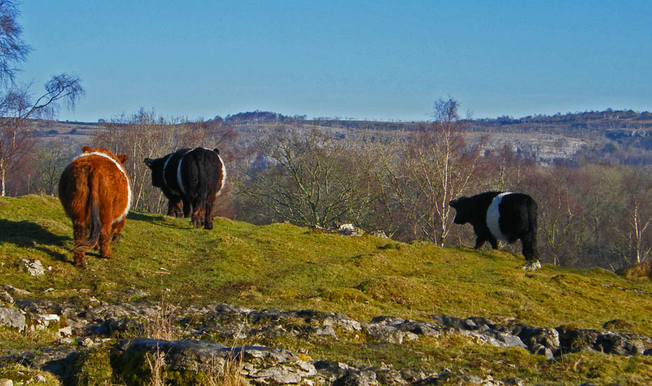
Making our way upwards we disturbed this small group of Belted Galloways
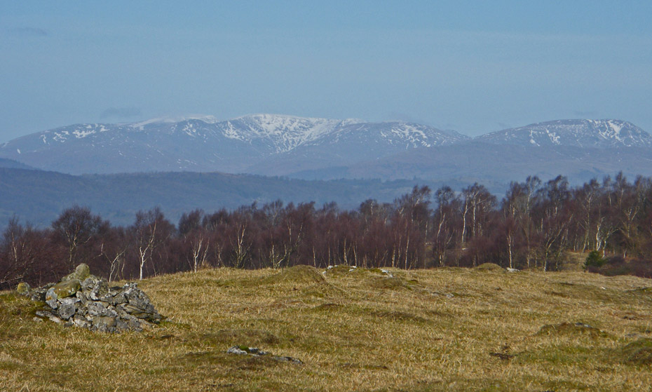
The Helvellyn and Fairfield Fells along with Red Screes from the northern cairn on Yewbarrow.
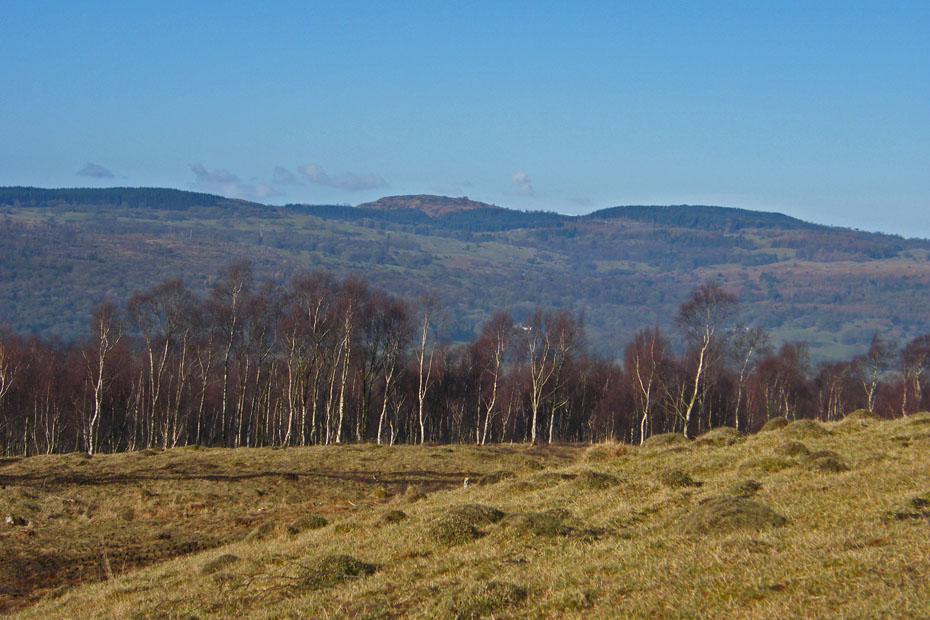
The top of Gummer's How peeks out over Cartmell Fell
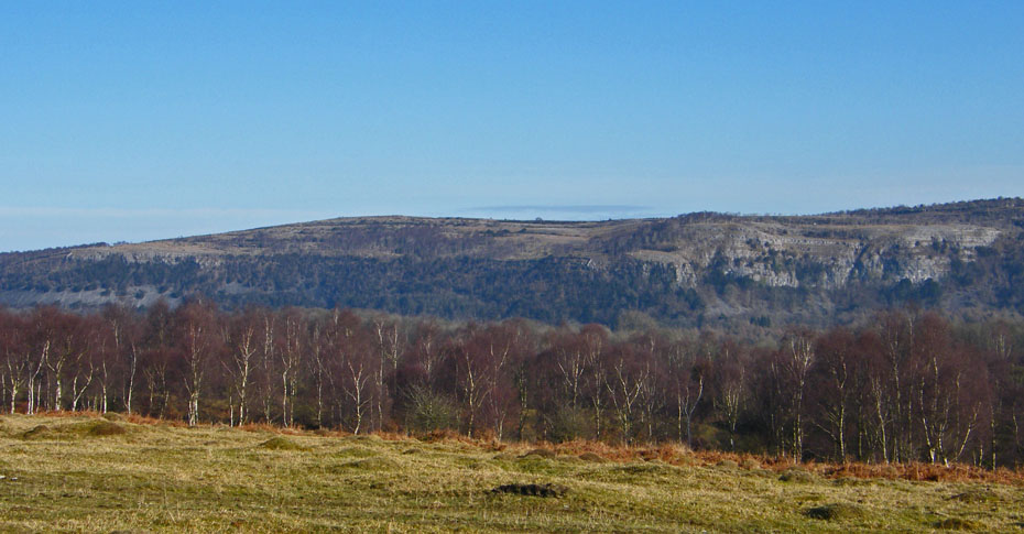
Whitbarrow
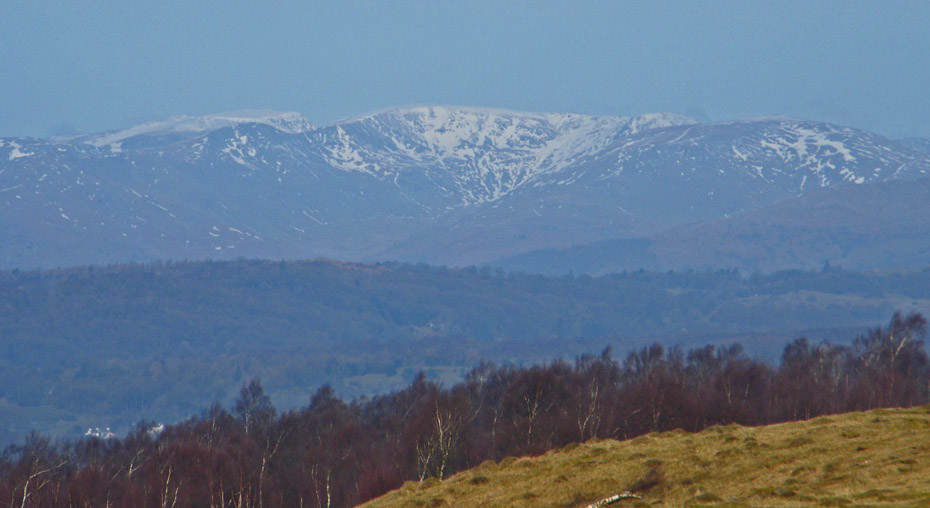
We are now on the summit of Yewbarrow and a big close up of Fairfield
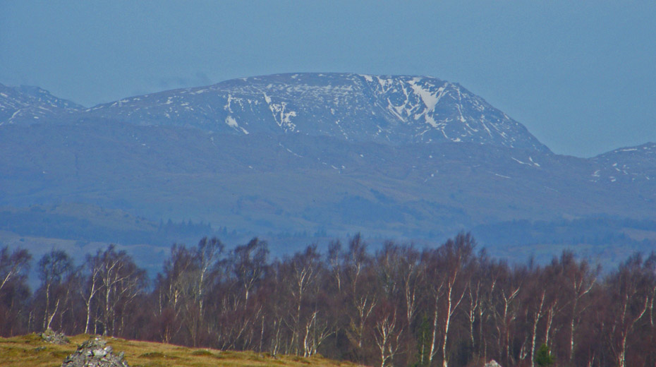
Red Screes
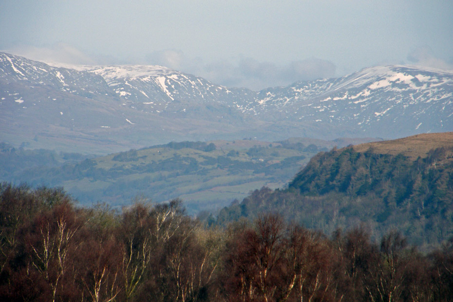
Looking along Kentmere to Nan Bield
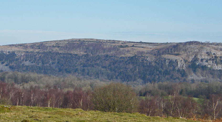
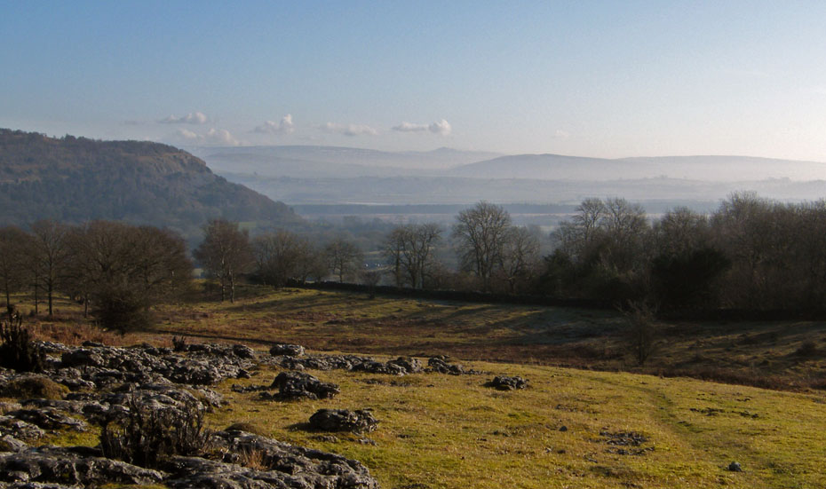
Making our way down to rejoin the bridleway with a distant Ingleborough.
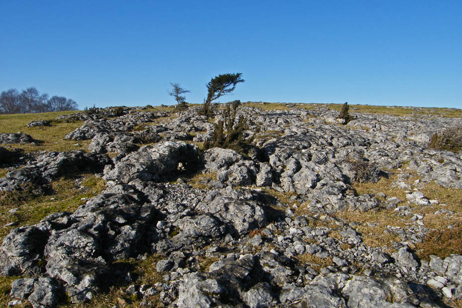
Weathered and fractured limestone pavement
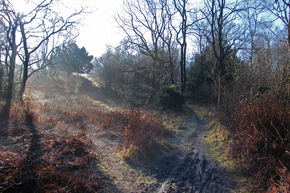
Weak sunlight filters through the trees as we enter the woods on our way down.
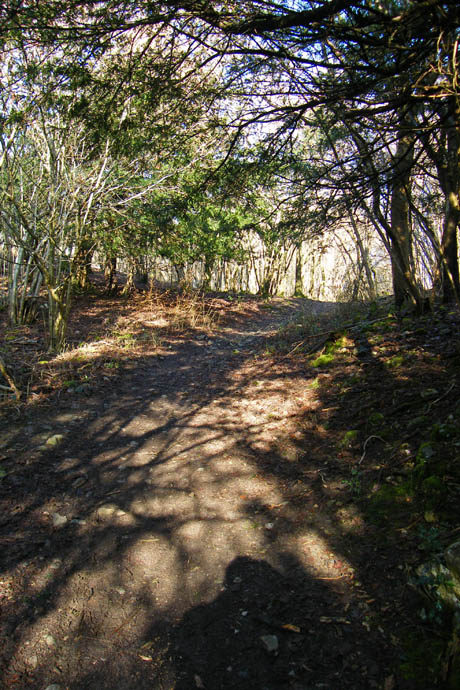
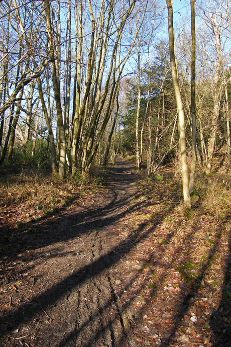
We followed the track which was very muddy in places down to join the road and turn left past a barn to the sign below...
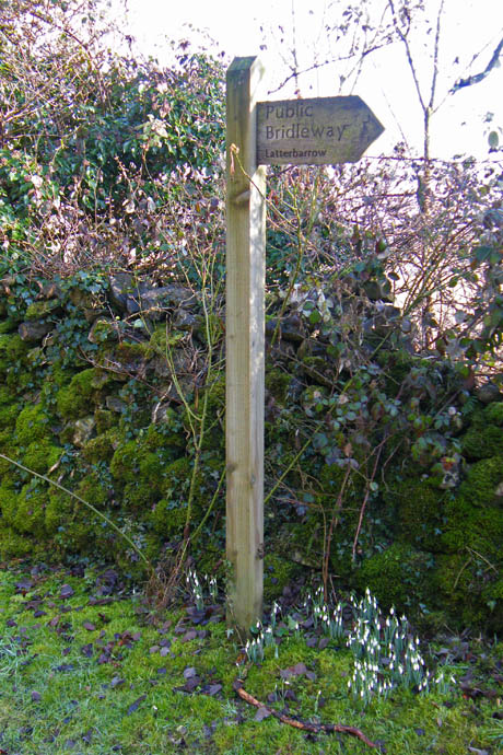
which would take us to Latterbarrow
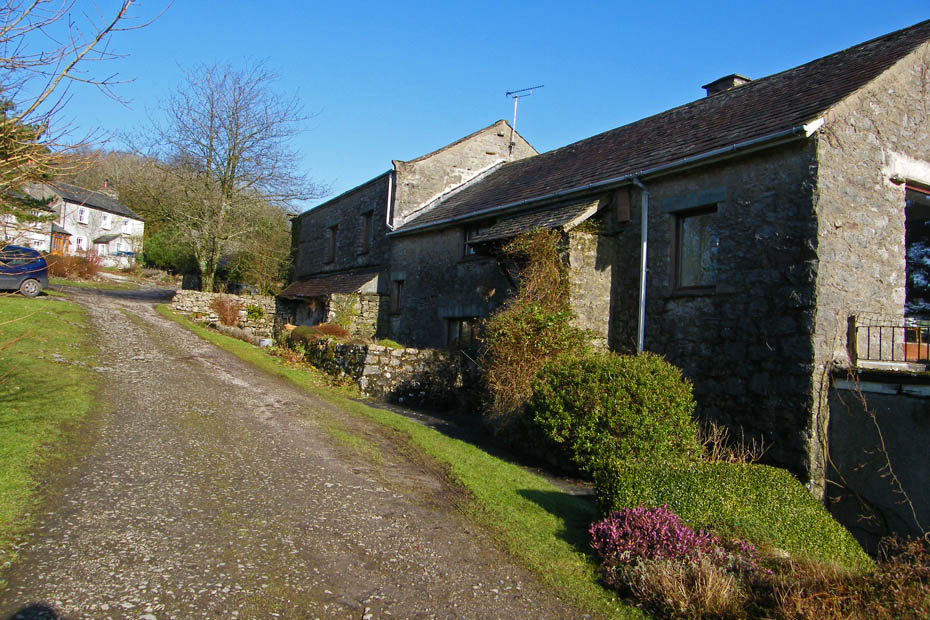
A look back at the cottages at High Fell End as we make our way to Latterbarrow.
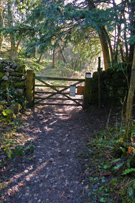
Entering Latterbarrow.
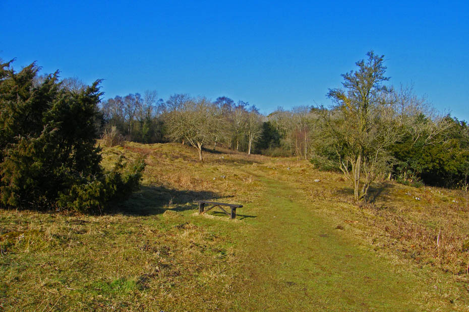
Despite its small size Latterbarrow is home to an amazing variety of plants with over 200 being recorded. It is owned by the Cumbria Wildlife Trust.
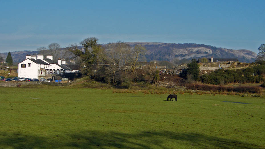
We emerged from Latterbarrow onto the old road which we followed back to Millside.
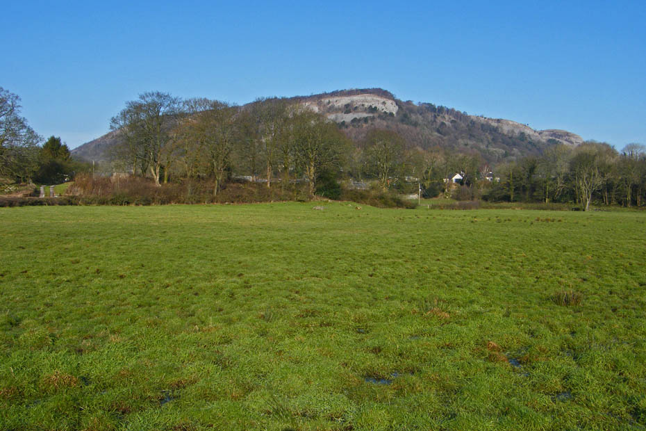
Whitbarrow
Next Walk: 9th February 2010 - Arnside & Silverdale AONB - A Silverdale suanter
Last Walk: 5th February 2010 - Lake District - School Knott in the mist
Do you have a Facebook or Twitter account. We post regular updates on both. Just click on either of the links below.
We hope you have enjoyed viewing this walk. If you have any comments please sign our Guestbook or E_Mail us.