
| Area: | Lake District | Ascent: | 740feet |
| Walk No: | 351 | Time: | 2hours 45minutes |
| Date: | 27th February 2010 | Parking: | Helsington Church (not on Sundays please!!) |
| Distance: | 5.25 miles | Weather: | Fine & Sunny |
| Route: |
For those of you that are thinking of going onto the hills I would strongly recommend that you read the advice given by the Mountain Rescue organisation of England and Wales. To read this advice, which will open in a new page please click HERE. If you would like to make a donation to the Mountain Rescue organisation which is purely voluntary please click HERE. Please make the time to read the advice page.
Looking towards Helsington Barrows from the Church. That would be our return route. To start its head downwards to pick up the bridleway.
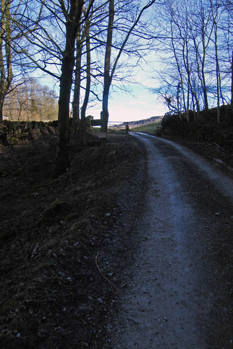
Once on the bridleway follow it to the right passing through the gate (l) and along the lane (r)
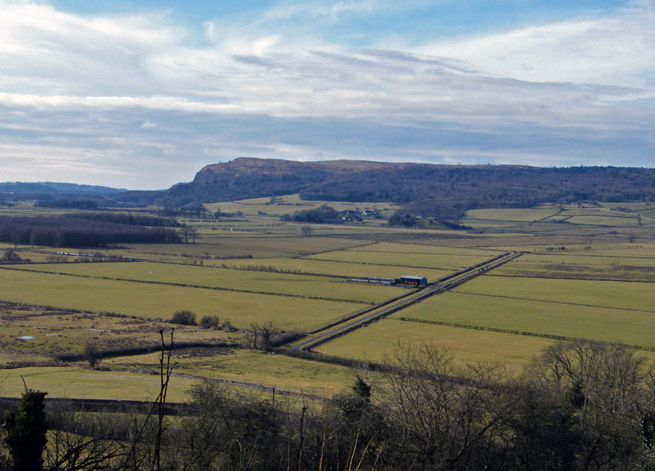
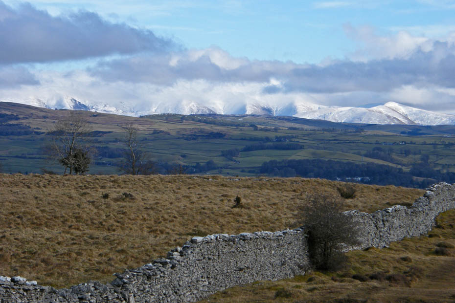
Through a gap in the hedging a view across the Lyth Valley to Whitbarrow
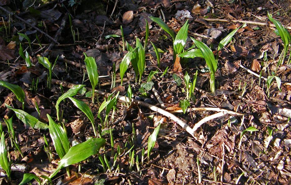
Another sign of springs imminent arrival, the wild garlic is popping through.
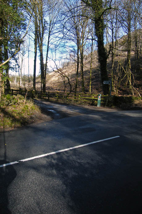
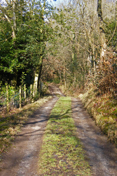
At the end of the bridleway you emerge onto the road. Turn right and walk uphill for about 50 yards to reach the farm lane (l) on the other side of the road. Follow the lane towards Barrowfield Farm.
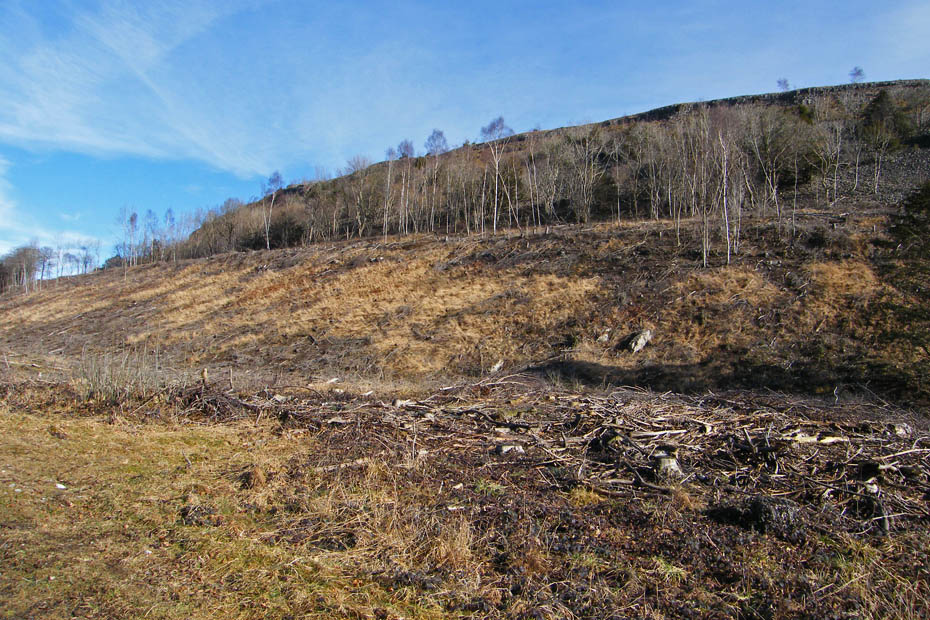
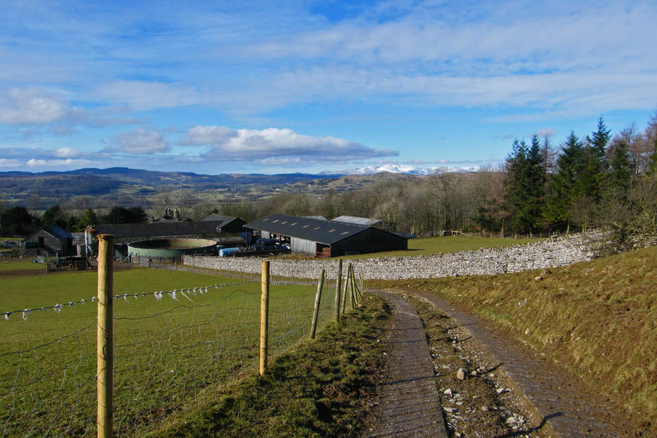
On your right the slopes of Burnbarrow Scar have been recently harvested.
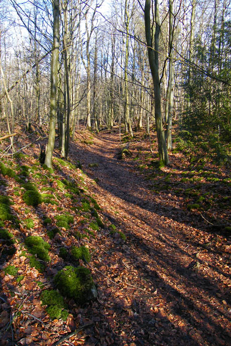
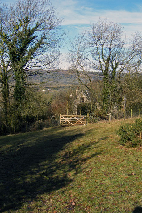
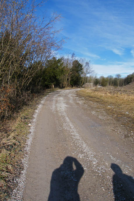
Continue following the lane until you reach the gate (l) where you will see a fingerpost taking you into the delightfully name Honeybee Wood The path is easy to follow with an occasional waymark.
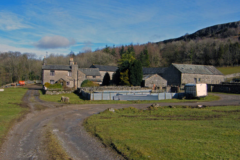
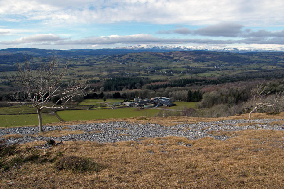
After a short while you will emerge from the woods back onto the farm track. Follow the path to the right of the farm.
To take a rising path which after a short distance will lead into the woods and a narrow rising path.
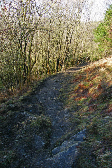
A look down the path
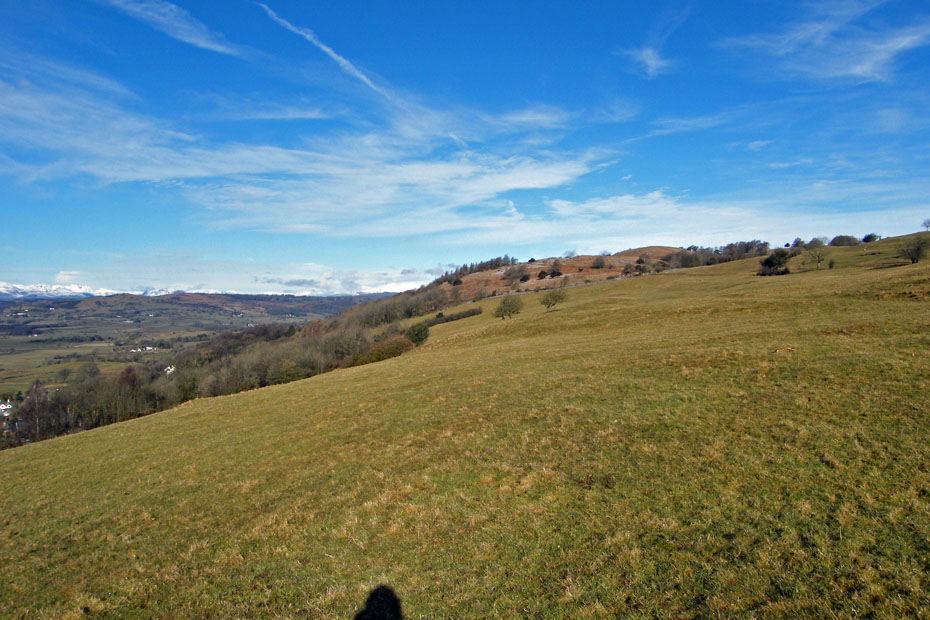
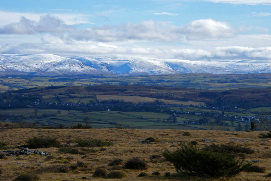
Before long the path emerges onto a flat shelf, a perfect spot for a short break and to admire the opening views.
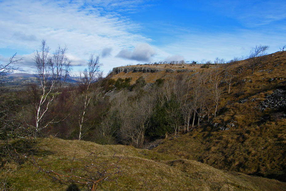
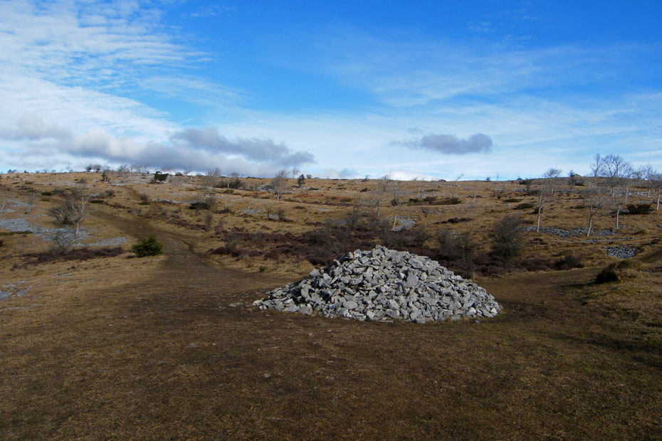
The next section is straightforward, just follow any of the rising paths towards the ridge where you will see a large cairn.
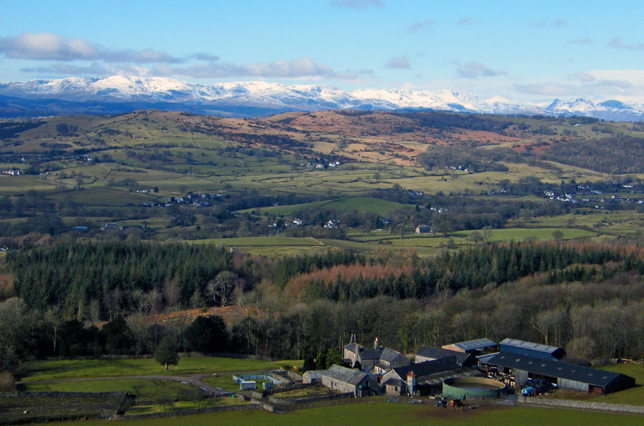
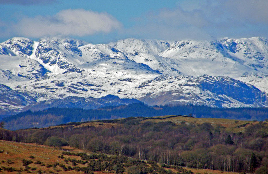
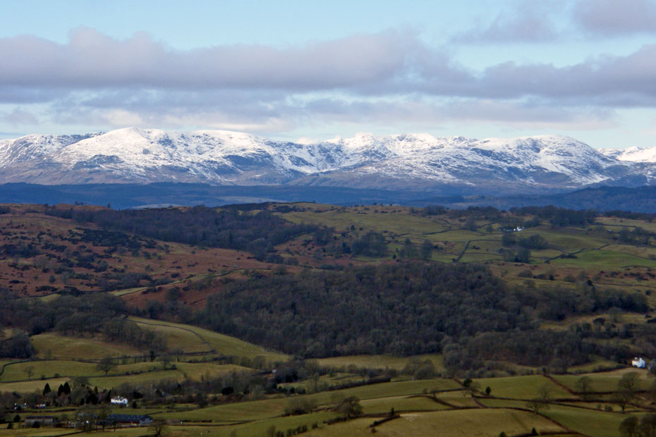
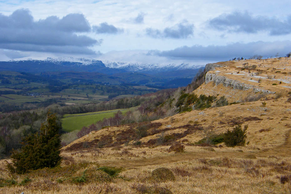
The Coniston Fells
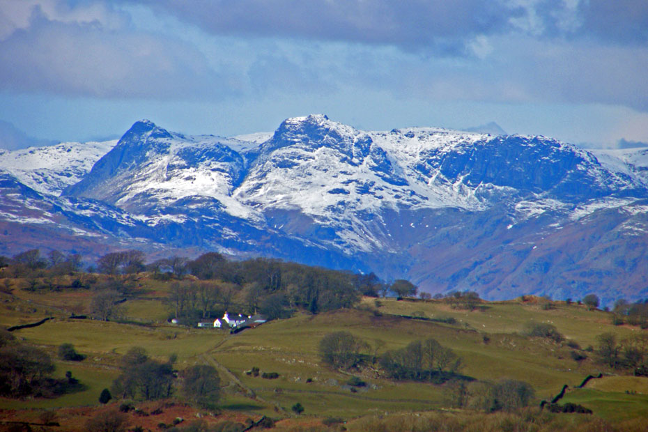
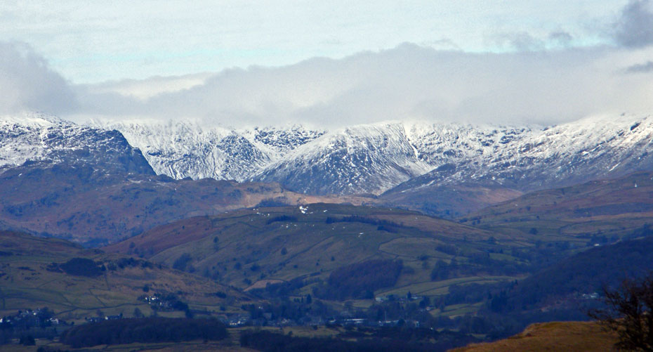
Crinkle Crags & Bowfell with the big fella behind.
The Langdale Pikes
The large cairn. We will follow the path off to the right to its highest point before turning left to the summit. Our eventual return will be along the path going straight ahead.
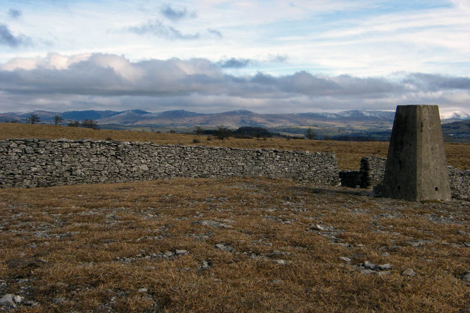
Scout Scar Trig Point.....It's not actually the highest point on the ridge but there's only a couple of feet in it so why worry.
The Howgills.....just
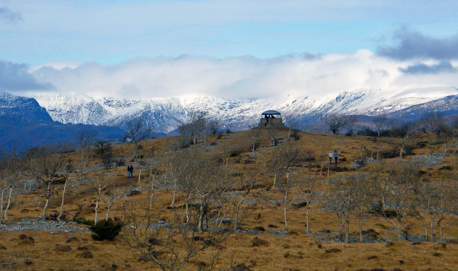
Looking N'wards to the shelter
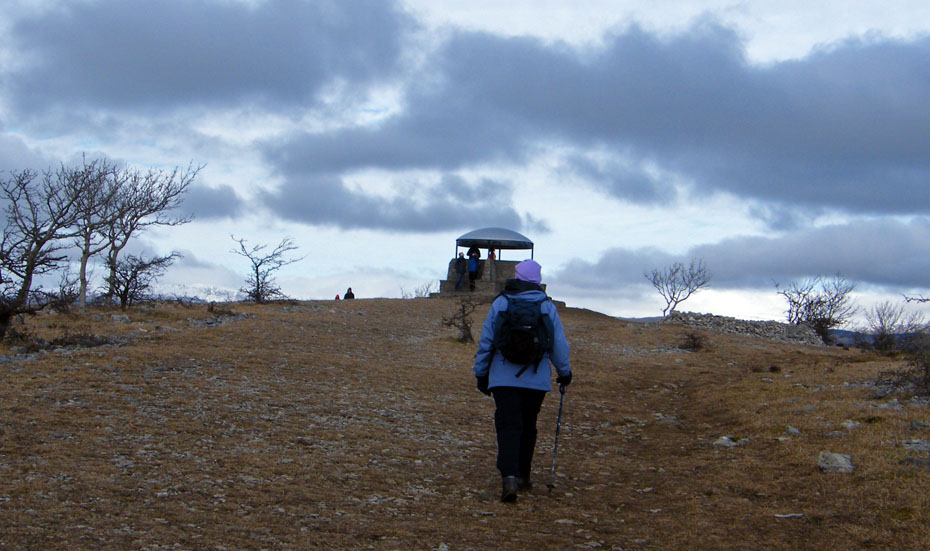
Almost there
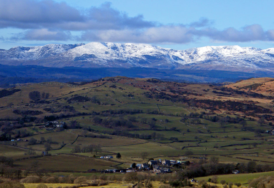
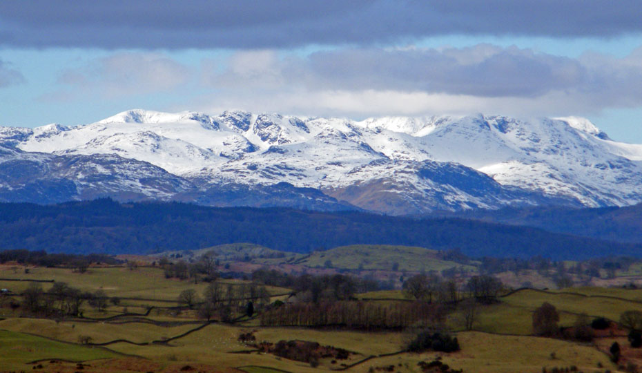
The Conistons from the shelter
Crinkles & Bowfell
Looking into Kentmere
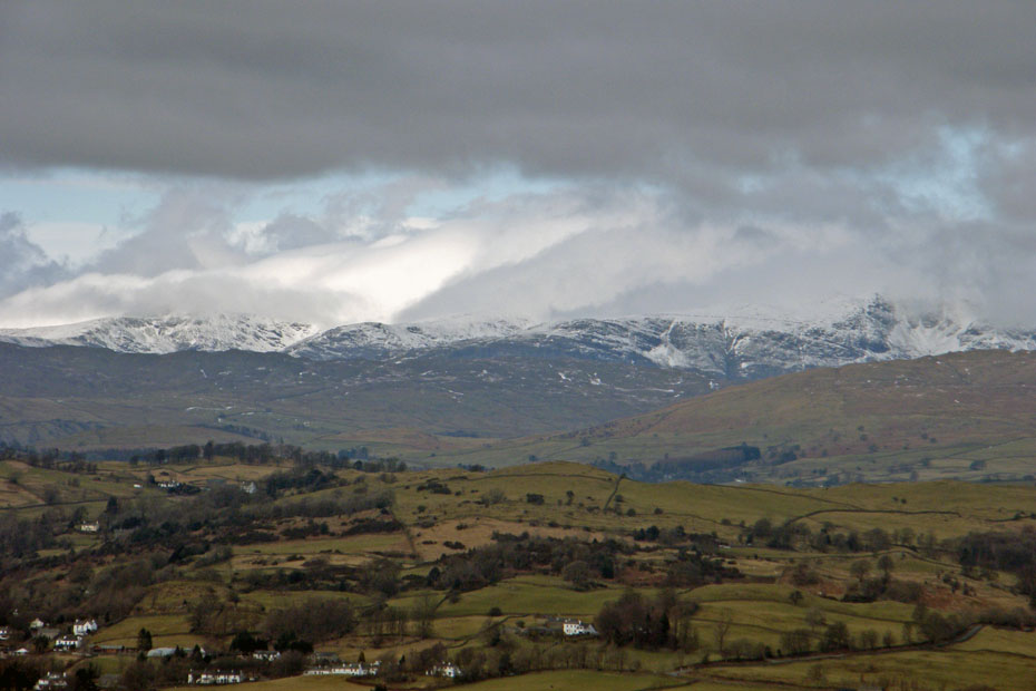
Fairfield & Helvellyn under cloud
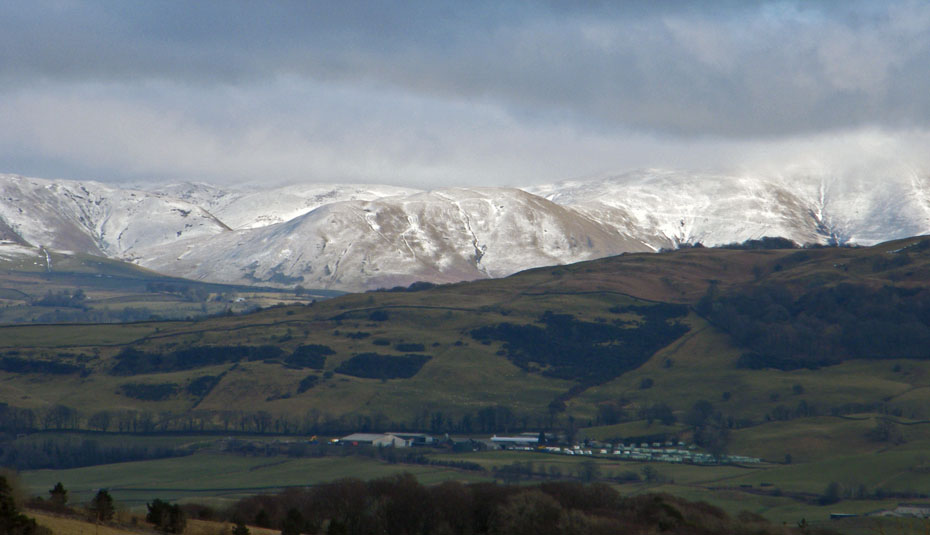
The Howgills
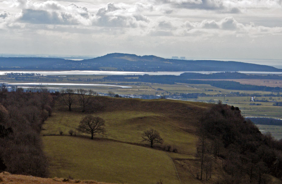
Our route back would follow the edge of the scar, past the cairn and into Helsington Barrows. Here we are looking S'wards to Arnside Knott and the Power Stations at Heysham.
Looking down on Barrowfield farm as we head south
A look back as we head into Helsington Barrows
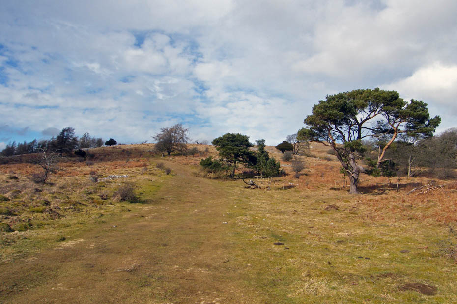
Looking back up our path through Helsington Barrows
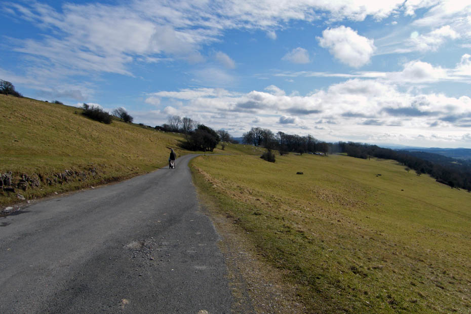
And finally....all that remains is a short walk down the lane to the Church and the car.
Next Walk: 1st March 2010 - Lake District - A perfect day at Tarn Hows
Last Walk: 23rd February 2010 - NW Lancs - Lancashire Coastal Way at Glasson
Do you have a Facebook or Twitter account. We post regular updates on both. Just click on either of the links below.
![]()

We hope you have enjoyed viewing this walk. If you have any comments please sign our Guestbook or E_Mail us.
