
| Area: | NW Lancs | Ascent: | 200feet |
| Walk No: | 0350 | Time: | 3hours 45minutes |
| Date: | 23rd February 2010 | Parking: | Tithe Barn Hill at Glasson |
| Distance: | 8.25miles | Weather: | Dull and overcast. |
| Route: | Car - Crook Farm - Cockersand Abbey - Bank House - Gardner's Farm - Brig's Brow - Thurnham Hall - Canal (Glasson Branch) - Glasson - Car |
For those of you that are thinking of going onto the hills I would strongly recommend that you read the advice given by the Mountain Rescue organisation of England and Wales. To read this advice, which will open in a new page please click HERE. If you would like to make a donation to the Mountain Rescue organisation which is purely voluntary please click HERE. Please make the time to read the advice page.
I was by myself today, it being Tuesday the boss-lady was visiting her brother. I was undecided whether to go for a walk or not with it being such a dull day but finally decided on this walk from Glasson Dock along the Lancashire Coastal Way as far as Bank Houses with a return via Thurnham Hall and the Glasson branch of the Lancaster Canal.
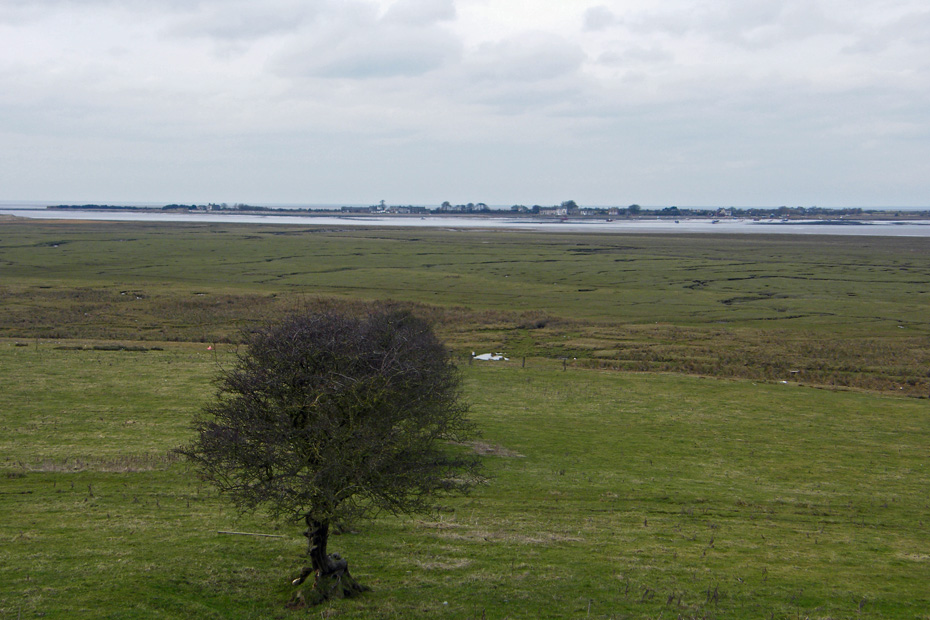
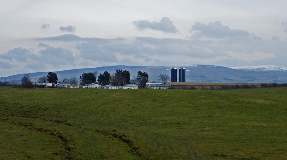
I left the car at the highest point at Glasson, Tithe Barn Hill with this view across the River Lune to Sunderland Point.
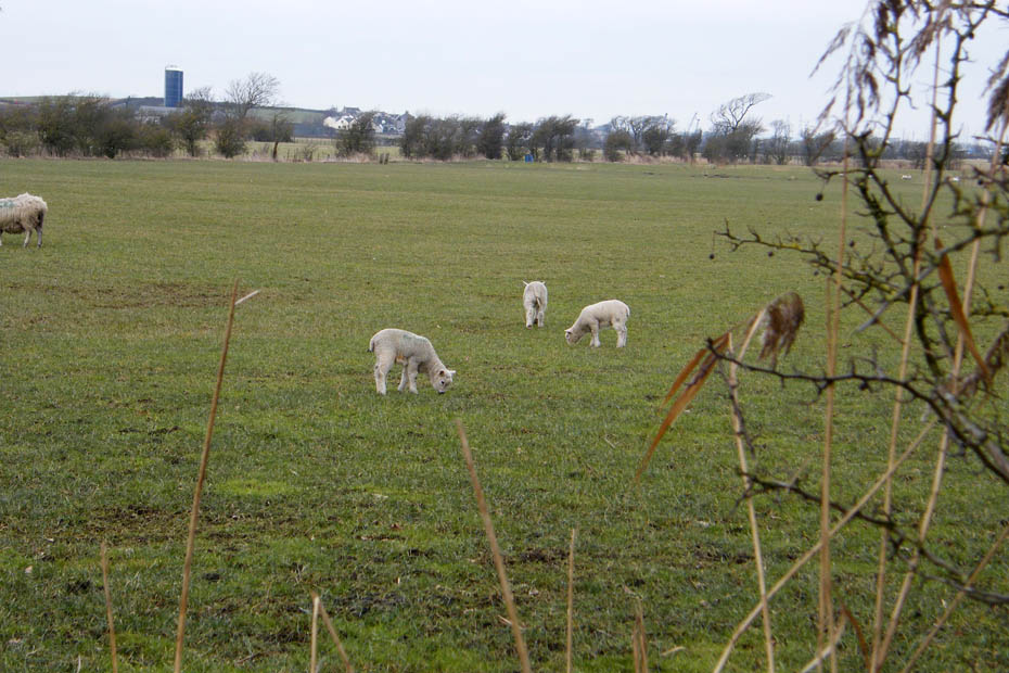
Plenty of these little chappies in the fields today.
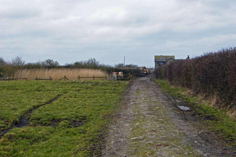
I was hoping that this section of the LCW across the field to Crook Farm wouldn't be too muddy. Fortunately an overnight frost had left it firm.
Crossing Janson Pool which drains many of the field dykes into the river.
A look back to Clougha Pike and Ward's Stone
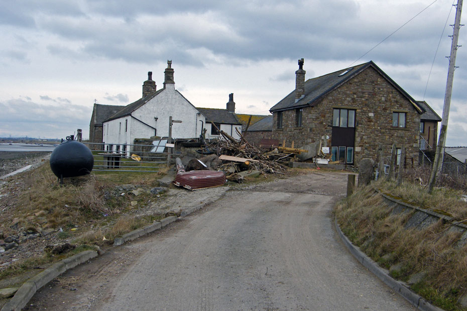
Approaching Crook farm
There's no shortage of firewood at the farm with the amount of driftwood that as been gathered.
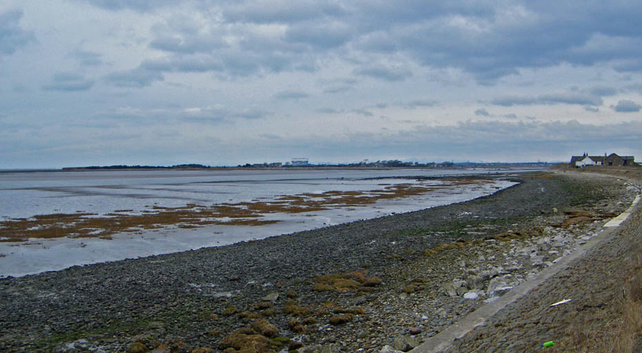
The path from the farm follows a metalled lane along the river. Here a look back to Crook farm with Sunderland and Overton across the river.
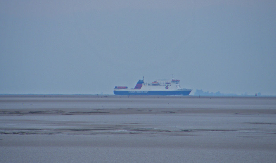
A big close up of the Isle of Man boat on its way to Heysham. The silhouette that it looks like it is about to run into is Piel Castle on Piel Island off Barrow
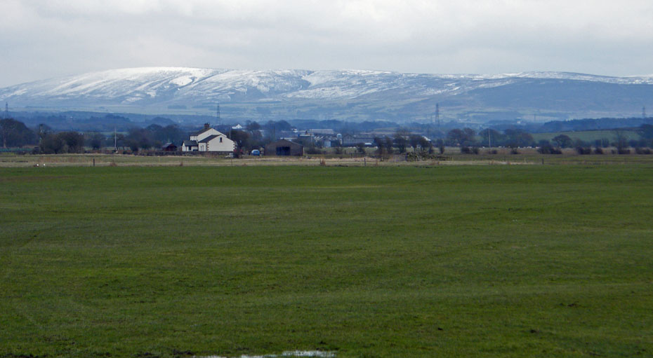
A look inland to Bowland Hills
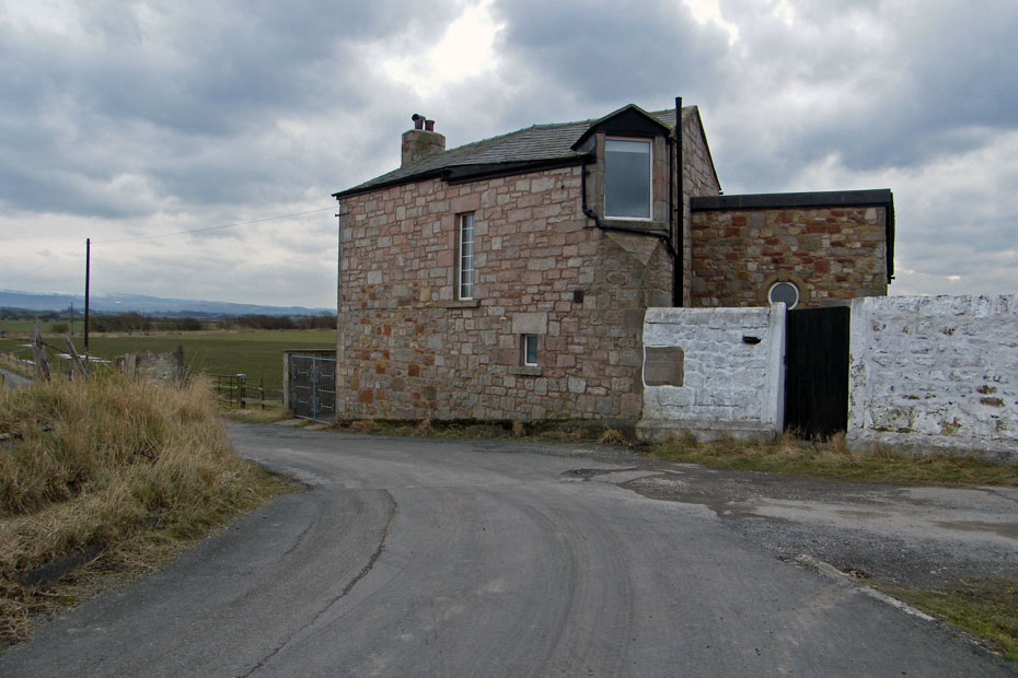
Abbey Lighthouse cottage was formerly the site of the Abbey Lighthouse. The path now reverts to a narrow track along the edge of the sea defence wall
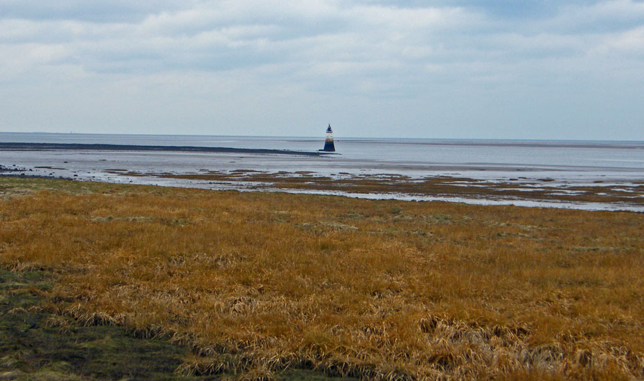
Plover Scar lighthouse was built in 1847
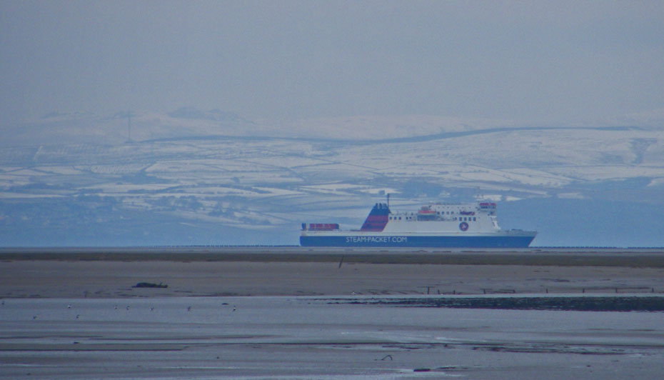
Another close up. I think that may be the top of Black Combe just above the Furness skyline.
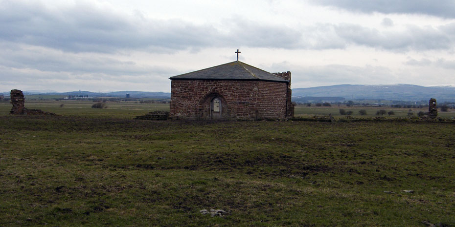
Cockersands Abbey
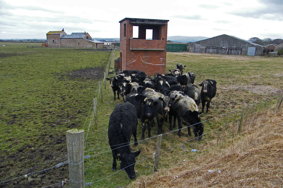
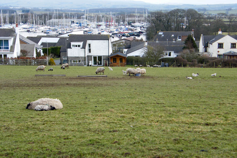
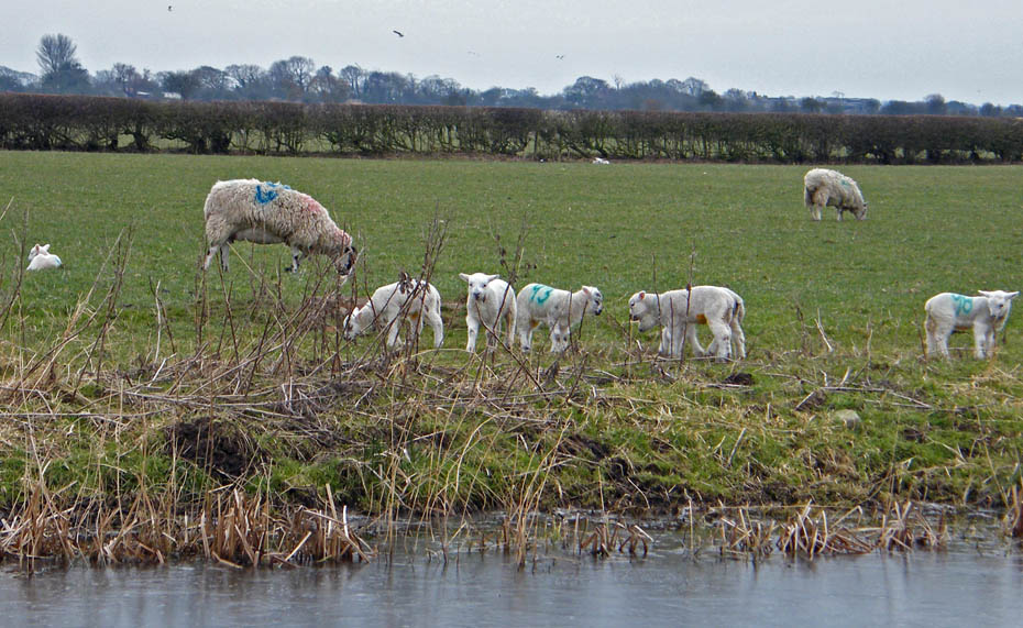
I think this group had just been let out after over-wintering inside. They were the muckiest lot I've ever seen. This is where I leave the LCW. From here there is a bit of road walking to Thurnham. It is possible to walk there across the fields but by now they were looking awfully muddy.
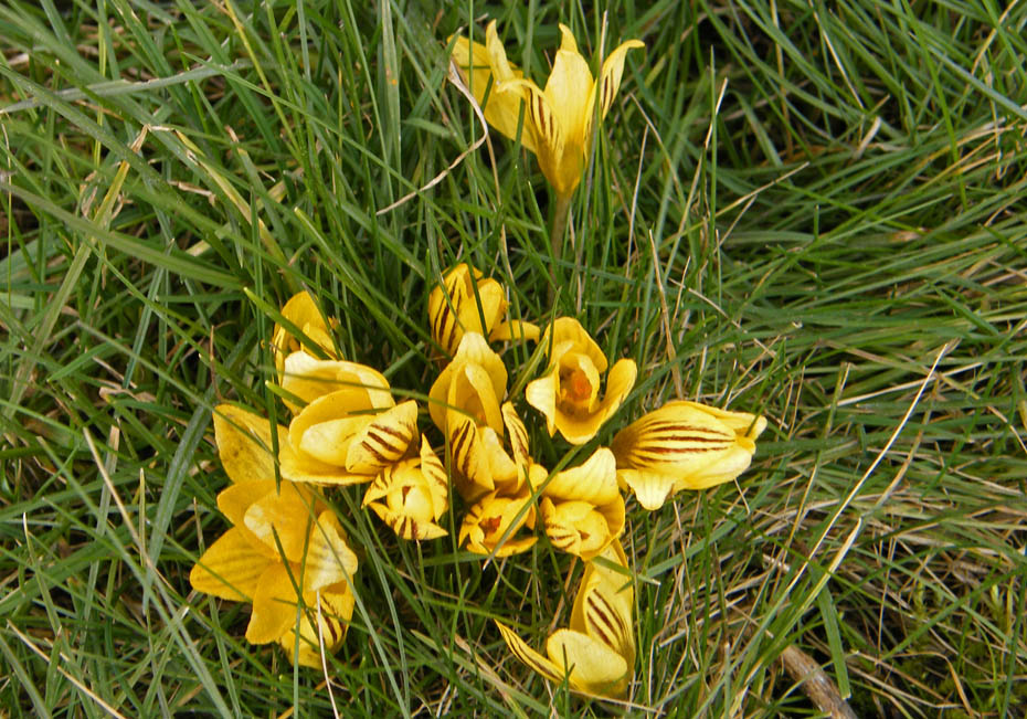
My first crocuses of the year....
....were seen here....more about the sign on the gate later.
I'm glad the boss-lady isn't here, we would be forever stopping.
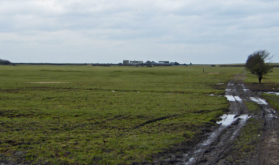
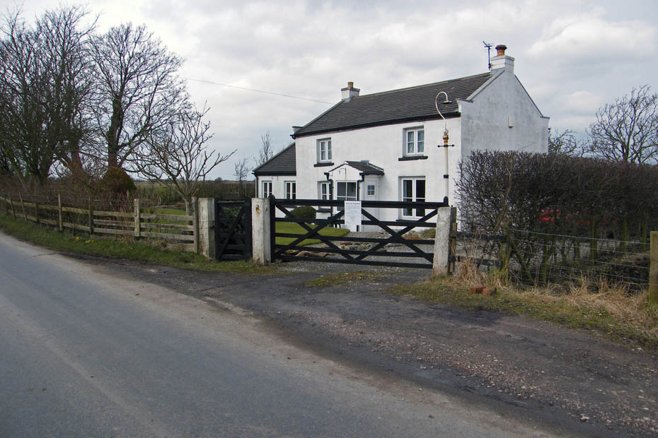
Almost at Thurnham now. The small rise is Brigg's Brow.
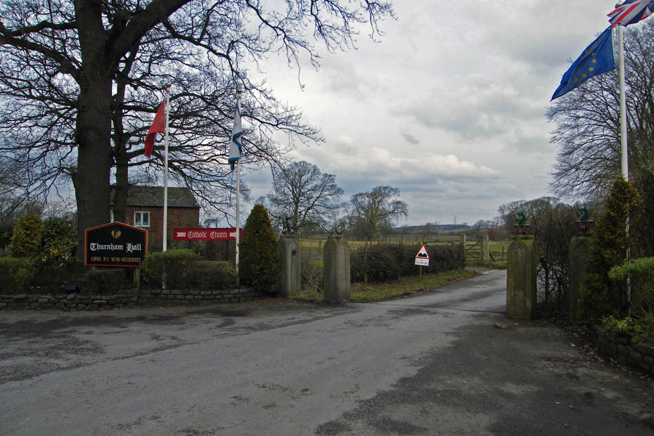
The gateway to Thurnham Hall
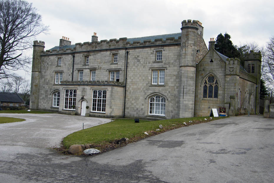
Thurnham Hall....originally a 12th Century country house now a timeshare complex
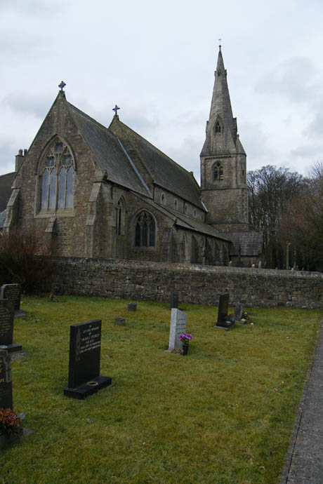
Further along the lane is St Thomas and Elizabeth Catholic Church.
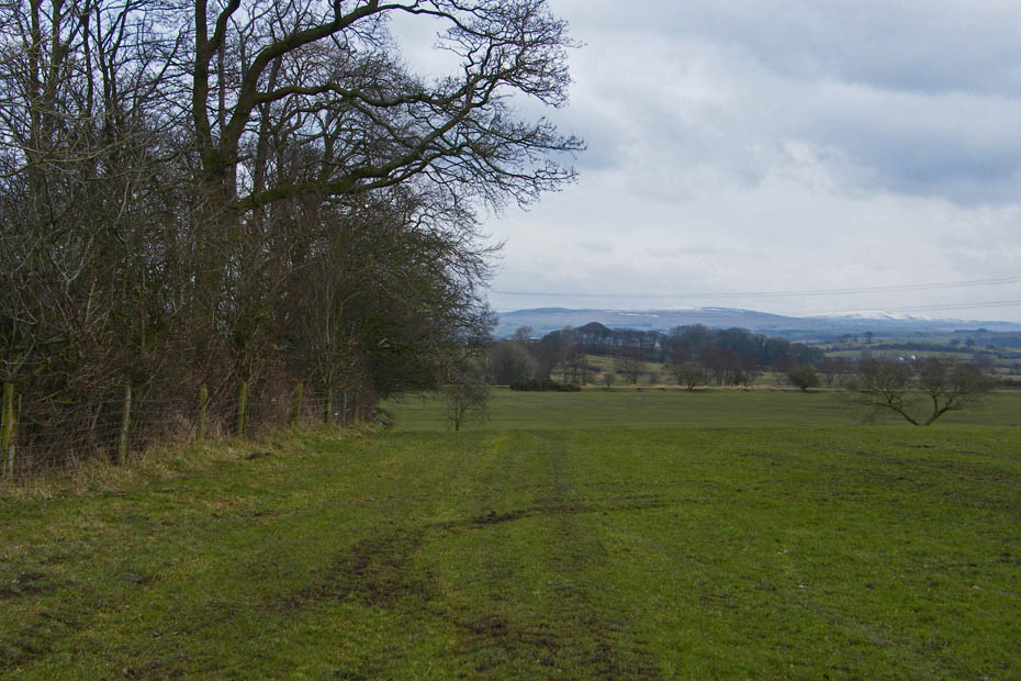
From the church the walk first crosses the fields towards the Glasson branch of the Lancaster Canal
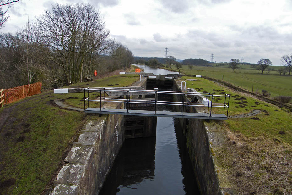
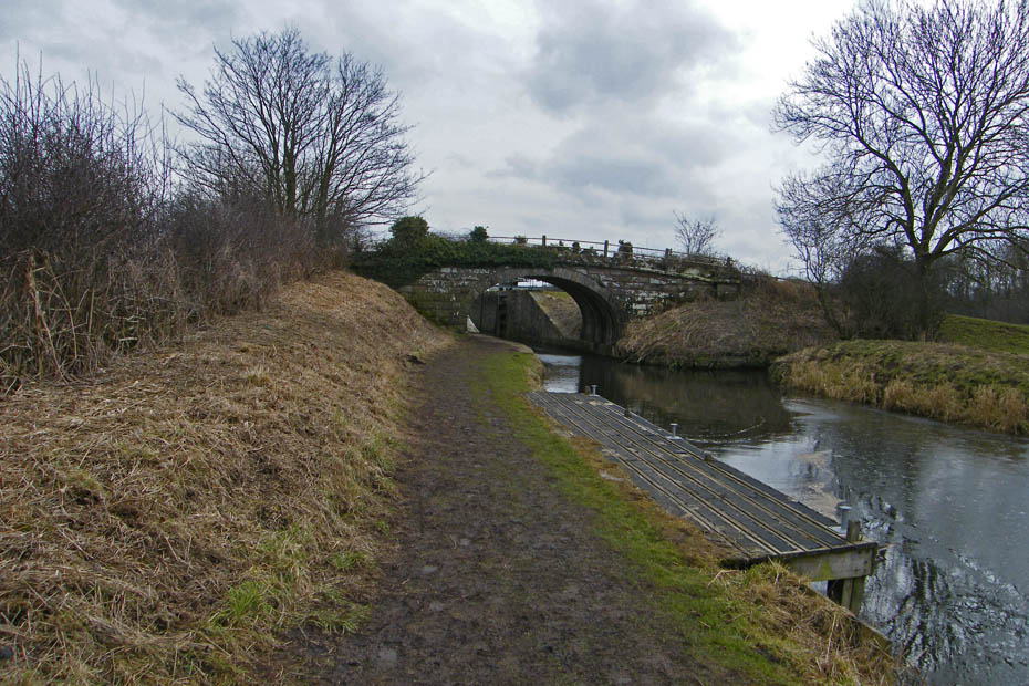
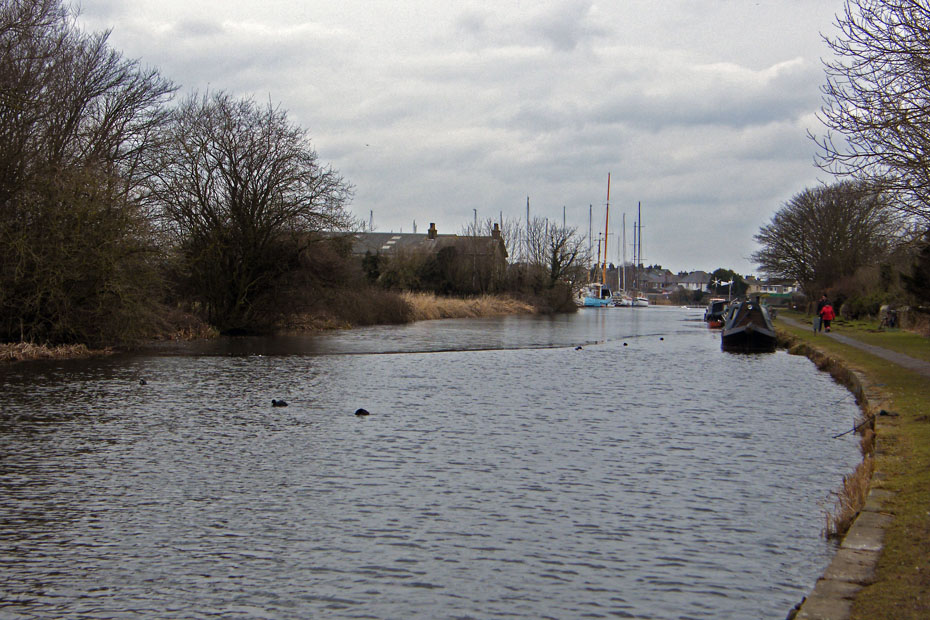
One of the locks as I cross the bridge to the towpath side.
This is the point where the walk started to go a little pear-shaped. The towpath was an absolute skidpan. Any frost had gone out of the top of the path and it as been walked heavily. Maybe a combination of last weeks half-term and some local walking clubs staying a way from the ice and snow to the north.
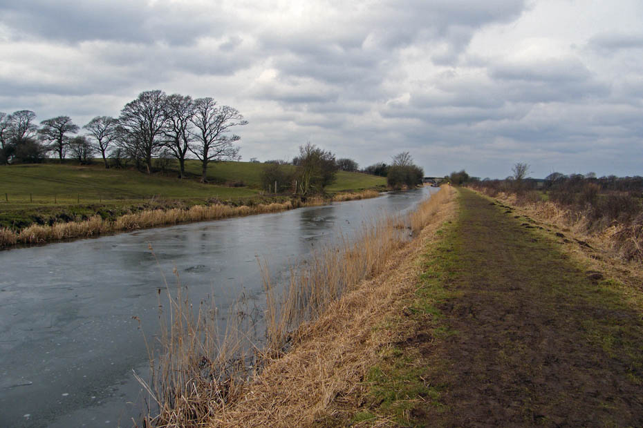
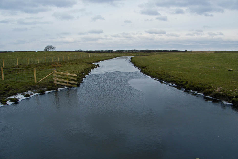
The canal however was still partly frozen.
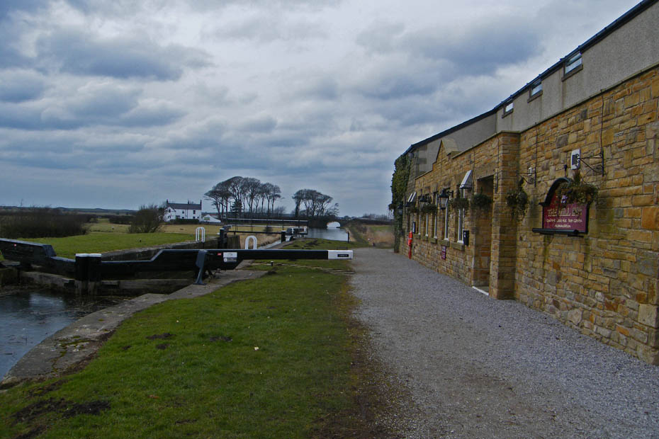
A little brighter as I approch the Mill Inn
I'm not sure how welcome I would have been today with boots covered in mud......and it gets worse!
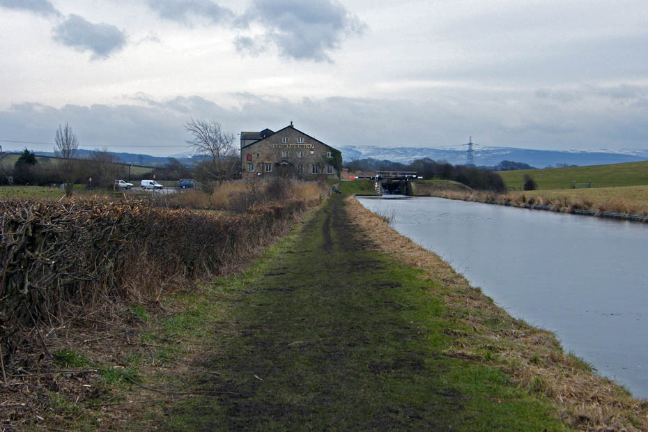
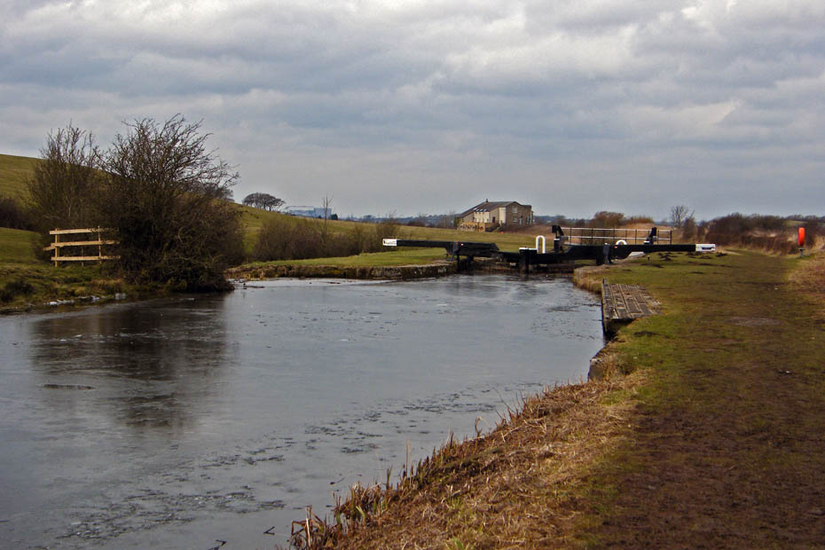
A look back. Surprisingly this section is walked more than that I have just done and is better to walk on.
"What are you looking at?"
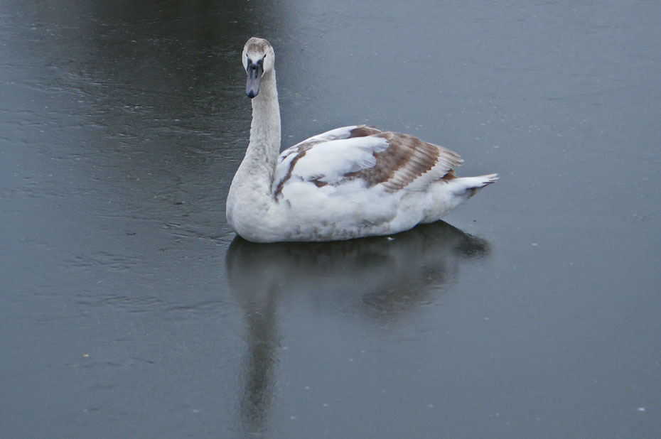
A puzzle.....afloat or sat down?.....I couldn't tell
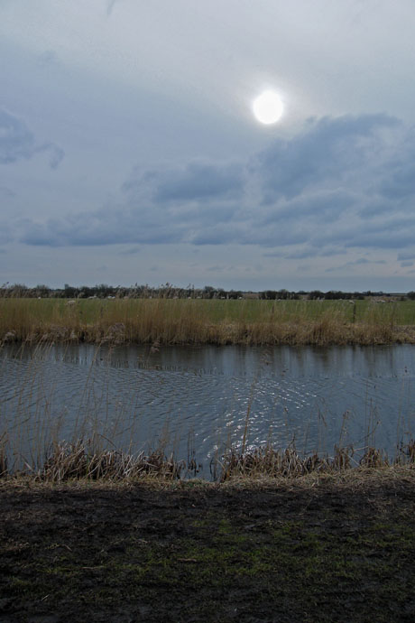
Yeah....I've nearly finished so the sun tries to come out!
Into Glasson and it's a made path now.
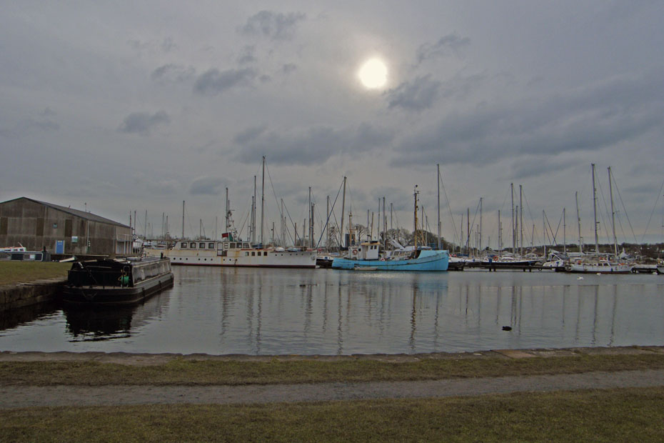
The fresh water marina.
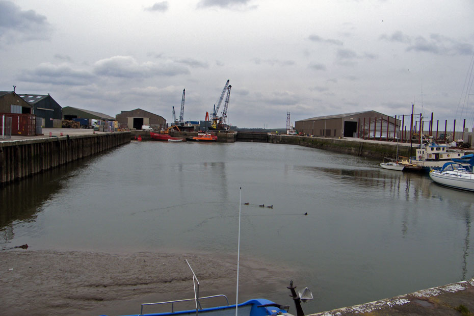
As I approched the salt water dock I slipped on some muddy grass.....rather ironic after walking on the previous paths. No harm done only a scraped elbow and a very muddy pair of pants and coat.
back to the car
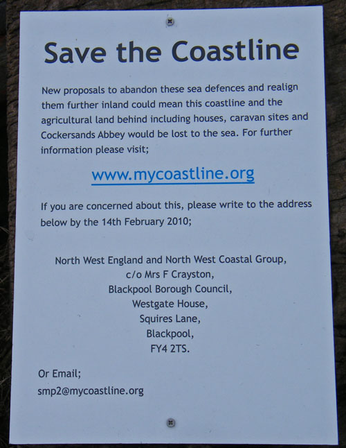
And finally.....all the way around on the walk I saw these signs. Obviously if the present defences are not maintained and are moved further inland much of where I have walked today along with Sunderland Point on the other side of the river is under threat.
Next Walk: 27th February 2010 - Lake District - Scout Scar from Helsington Church
Last Walk: 22nd February 2010 - Lake District - Cunswick Fell in the snow
Do you have a Facebook or Twitter account. We post regular updates on both. Just click on either of the links below.
![]()

We hope you have enjoyed viewing this walk. If you have any comments please sign our Guestbook or E_Mail us.
