
| Area: | Yorkshire Dales (W) | Ascent: | 1100feet |
| Walk No: | 363 | Time: | 4hours 15minutes |
| Date: | 19th March 2010 | Parking: | Roadside at Clapham |
| Distance: | 7.75miles | Weather: | Fine with Sunny spells....a wee bit breezy |
| Route: |
For those of you that are thinking of going onto the hills I would strongly recommend that you read the advice given by the Mountain Rescue organisation of England and Wales. To read this advice, which will open in a new page please click HERE. If you would like to make a donation to the Mountain Rescue organisation which is purely voluntary please click HERE. Please make the time to read the advice page.
This is one of my favourite walks in the Western Dales. In earlier days it used to be a lot longer than this to take in the wonderful limestone pavements of Moughton Scars and the upper valley of Crummackdale but even this walk is a treasure for old & young alike.
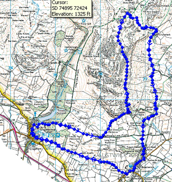
Route Map
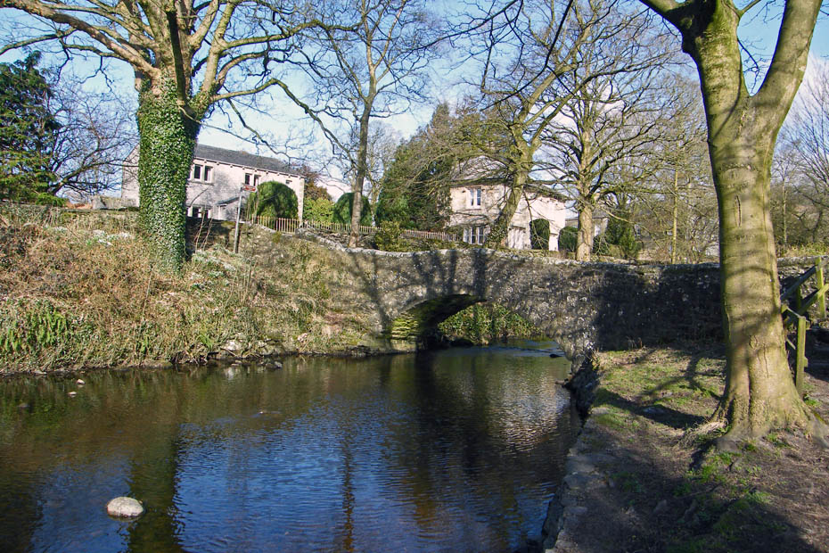
We parked in Clapham near Clapham Beck with its lovely stone footbridge.
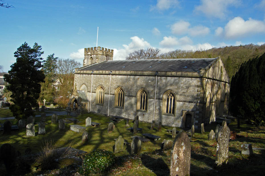
Walking up the lane we passed the church of St James. The original church was founded in Norman time and was originally dedicated to St Michael. It is mentioned in records back to 1160 but unfotunately it and the rest of the village were burnt down during a Scottish raid following the Battle of Bannockburn in the 14th Century. The church tower was rebuilt following this but the rest probably dates from the 19th Century.
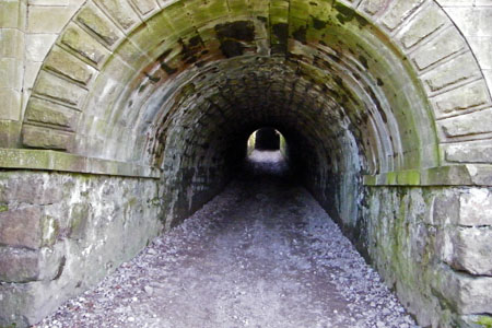
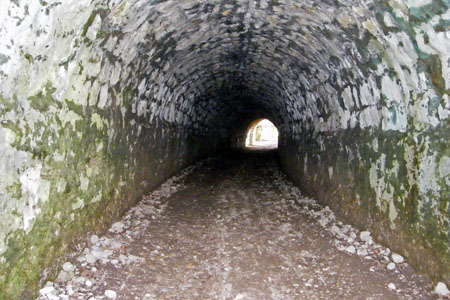
From the church the path rises and passes through these two tunnels. Watch out for mountain bikers coming down!
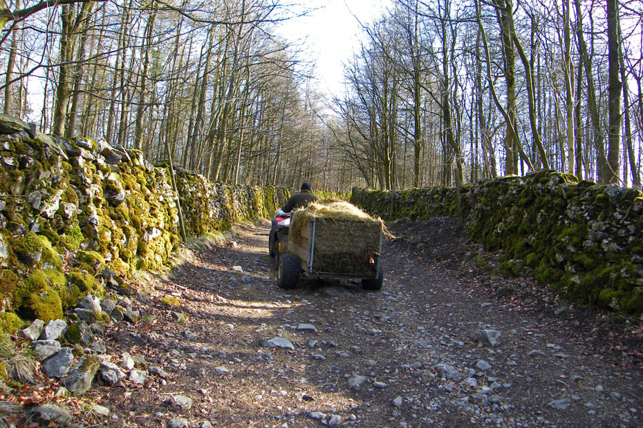
As we walked up the lane the farmer passed us with feed for the sheep.
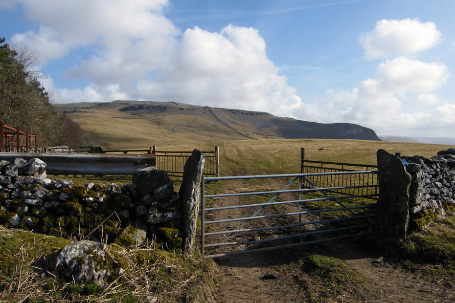
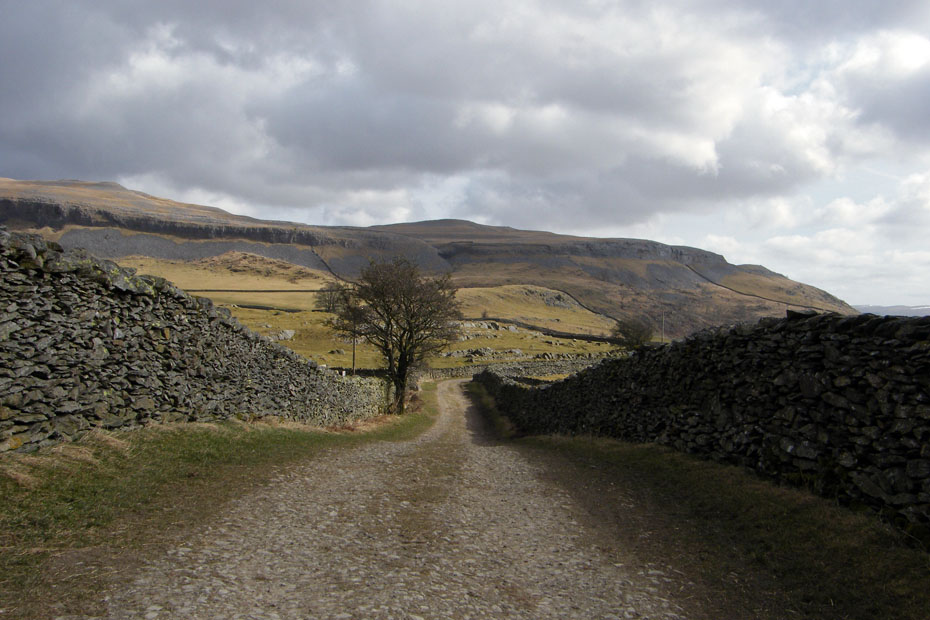
At the top of the climb you come to a splitting of the path. To your left is the aptly named Long Lane and directly ahead is Thwaite Lane which is the one we take as we are heading for Robin Proctor's Scar which is the dark shadowed crag to the right.
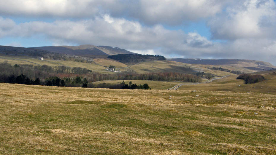
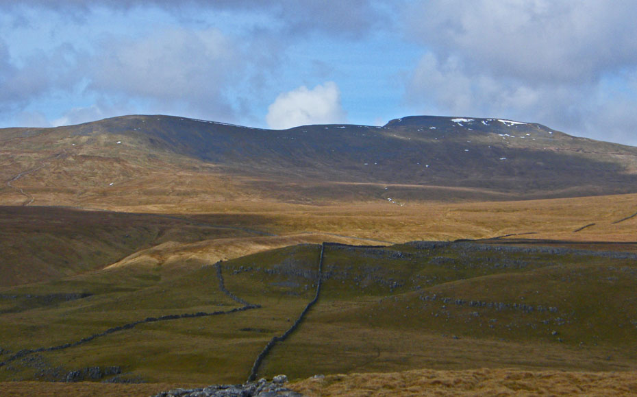
From part way along the lane a look back reveals the familar shape of Ingleborough and Simon Fell. The farm of Clapdale can be seen on the fellside.
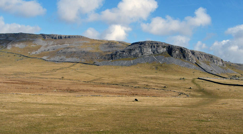
After just over half a mile you should see a fingerpost on the left pointing out the path towards Robin Proctor's Scar.
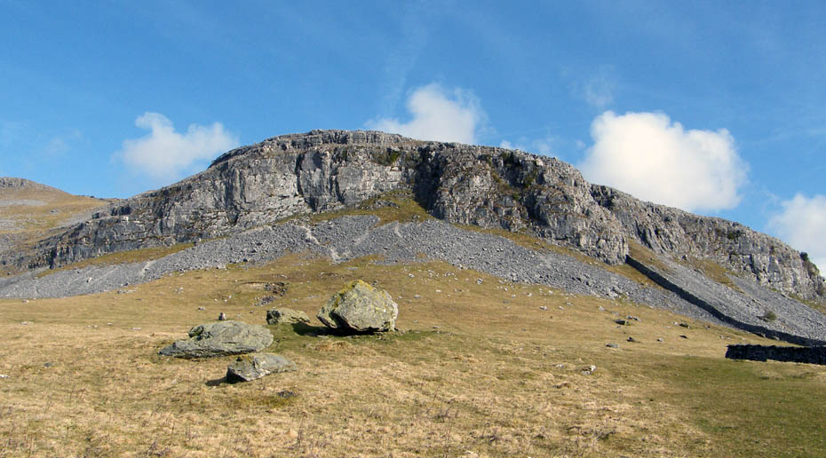
Robin Proctor's Scar was formerly known as Norber Scar and is a popular climbing spot. But why the name change?...Well Robin was a bit of a character and it is well worth a little read of his story...... The Story of Robin Proctor don't go near on wild and windy nights.
Taken into the early sun, a look over to Smearsett Scar
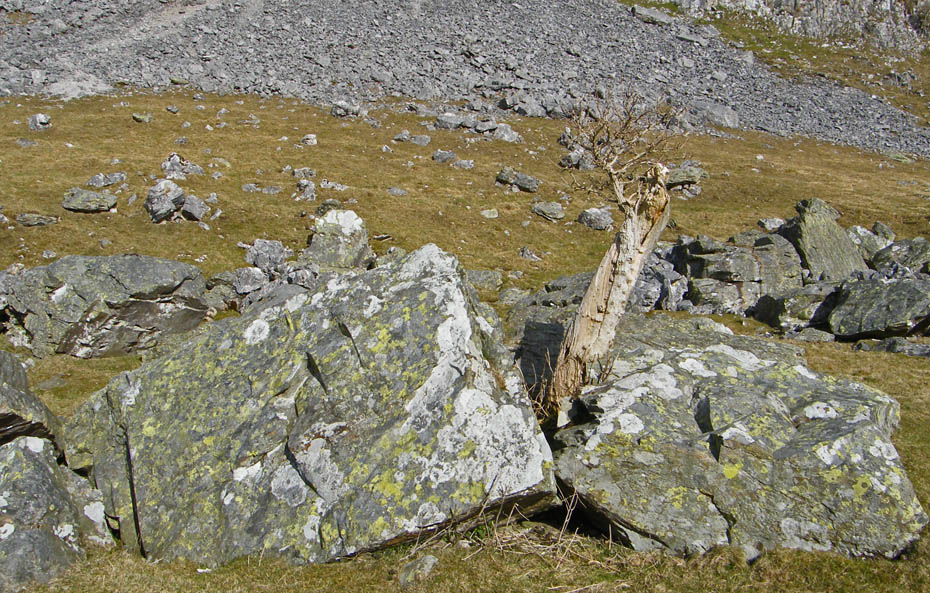
I have been coming by here for more years than I care to remember and always check on this tree thinking it will have seen its last. Happily it is still still showing signs of life.
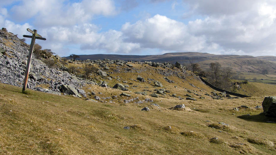
Follow the path round and you will come to this fingerpost. Here we turn left and start climbing.
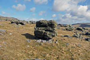
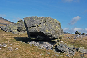
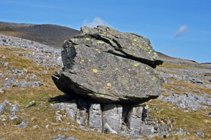
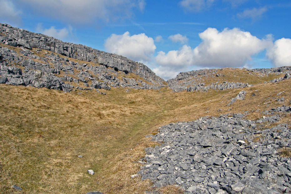
Eventually the path will lead you to the "Erratics" a selection of which are shown here.
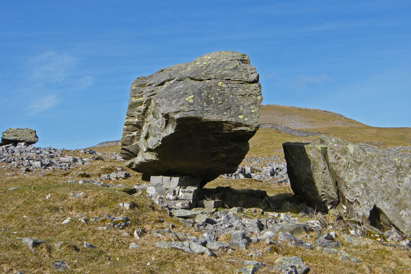
This was the best one we found without traipsing about too much. At one time it was thought that the Silurian boulders came from many miles away carried by the glaciers 13,000 years ago. It is now known that they came from as near as a kilometre away. The melting glacier deposited them on the Carboniferous Limestone that is Norber and they have acted like an umbrella protecting the soluble limestone beneath them from the rain. Whilst the general limestone bedrock as been lowered by around 18" over thousands of years the plinths showing the original level remain intact.
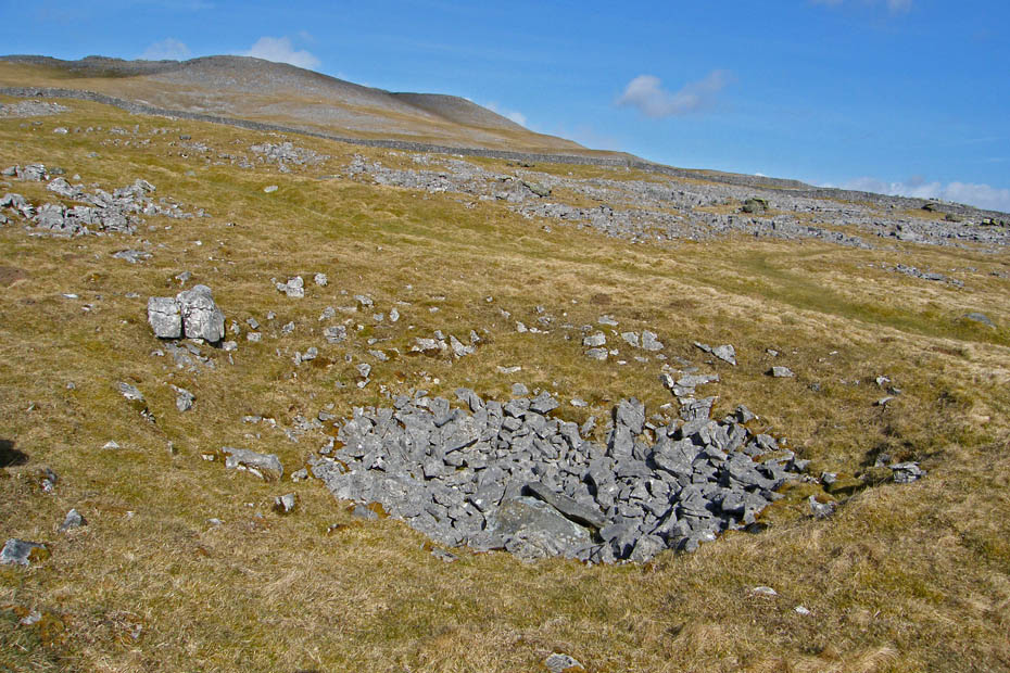
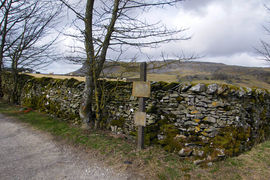
Passing a shake hole as we make our way to a stile ahead. Shake Holes are a common feature of the limestone dales, they are caused when surface water washes the surface boulder clay down into the cracks and fissures in the limestone below or by the collapse of a limestone cave.
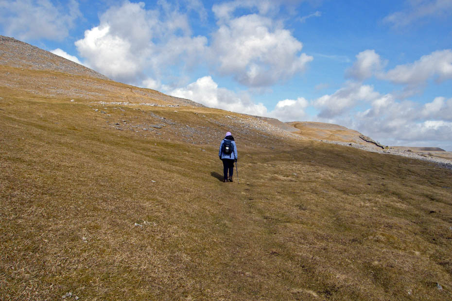
It was quite breezy by now so having found & crossed the stile we kept to this lower path rather than turning up to the ridge.
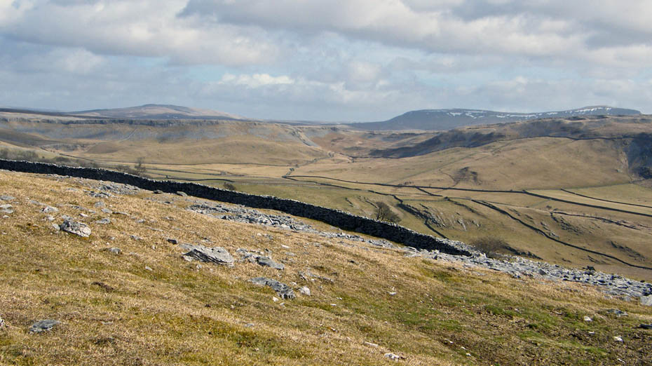
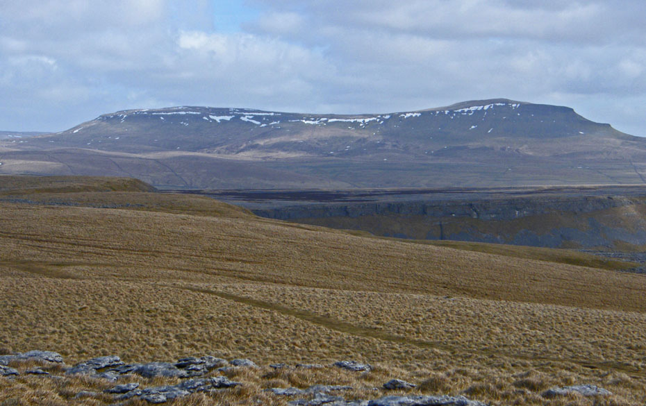
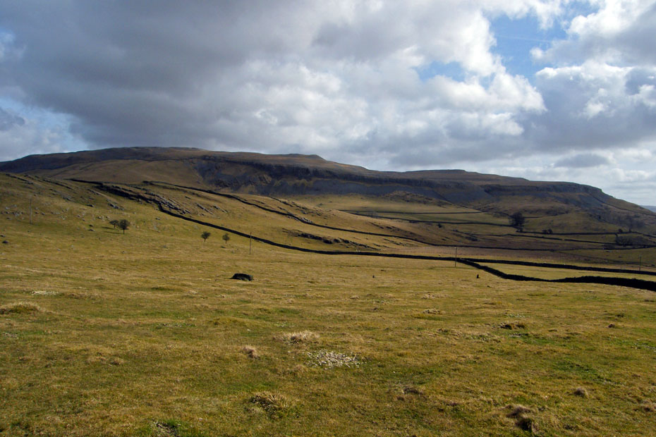
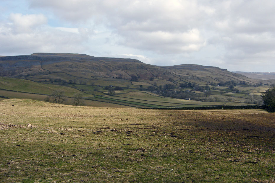
As we gained height slowly the views into the top of Crummackdale opened up. You can just see Pen y ghent and Plover Hill over Moughton.
After a while we took this track upwards.
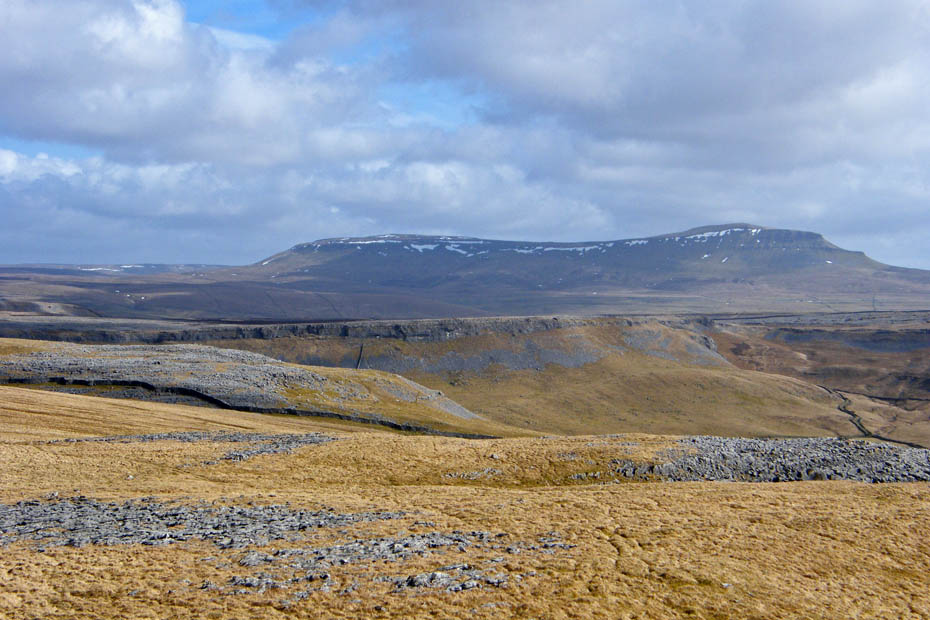
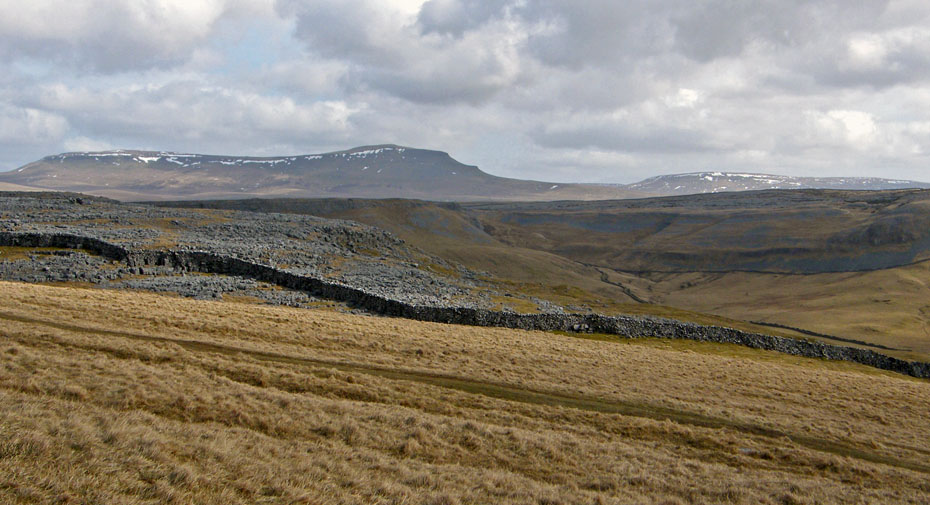
Pen y ghent across Moughton Scar,
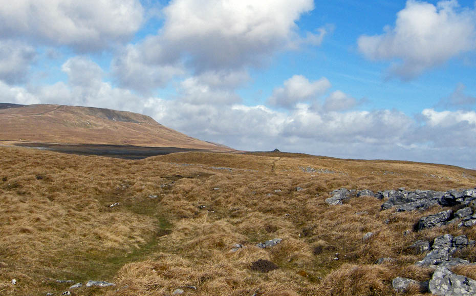
Looking ahead to our turnabout point.
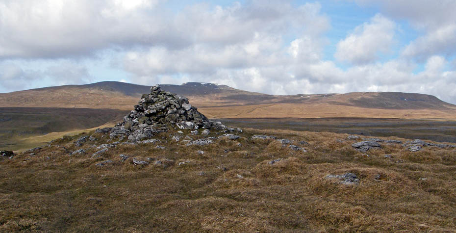
The cairn on Long Scar with Ingleborough and Simon Fell behind.
Ingleborough close up.
Pen y ghent and Plover Hill
Pen y ghent and the to of Fountains Fell
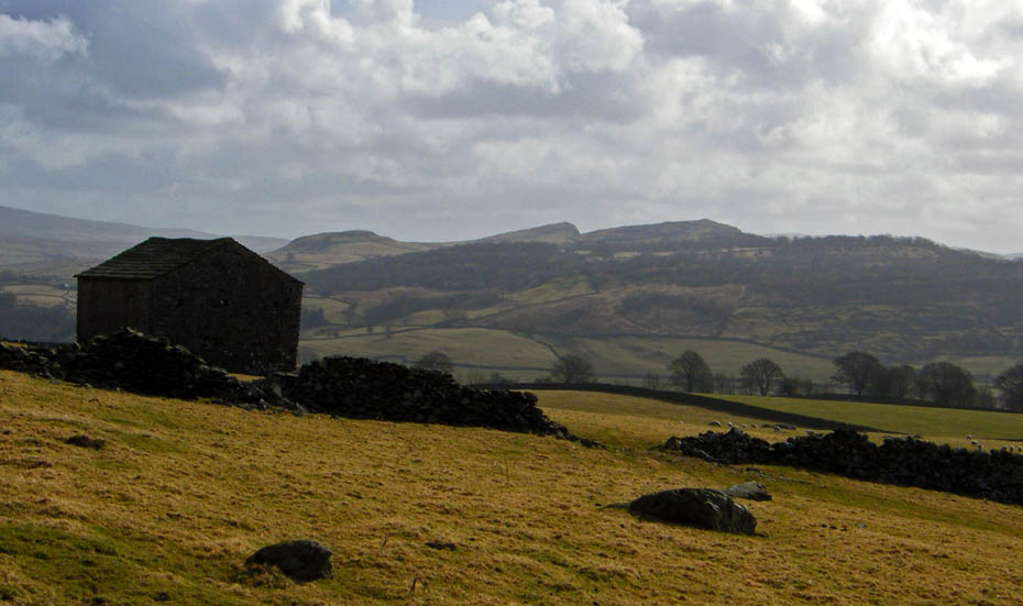
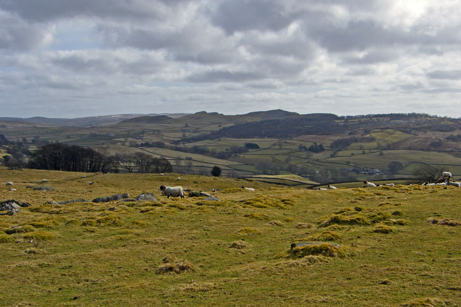
On the way back and descending towards Crummack farm with Moughton behind.
As we walked down the lane towards Austwick we passed this lane on the left. It leads to one of our favourite "buttie stops". It is called Wash Dub field and is well worth a visit if near. Pictures of it can be seen HERE.
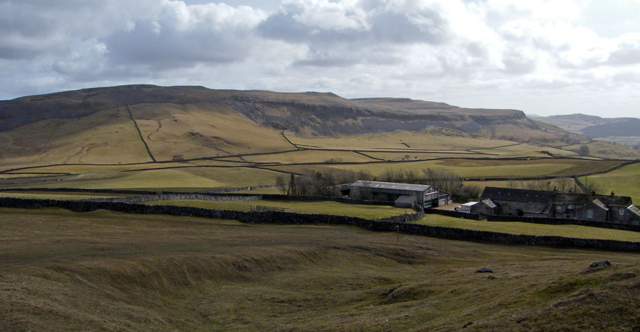
A long look back....the farm is behind those trees in the distance.
Looking over to Smearsett Scar.
A look over to the hamlet of Wharfe.
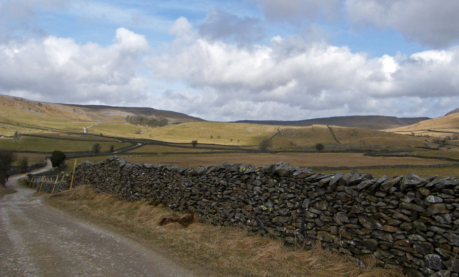
Decision time....we are at the end of Thwaite Lane and the easiest way back to Clapham, but.....
I want to visit Austwick again so it's down we go.
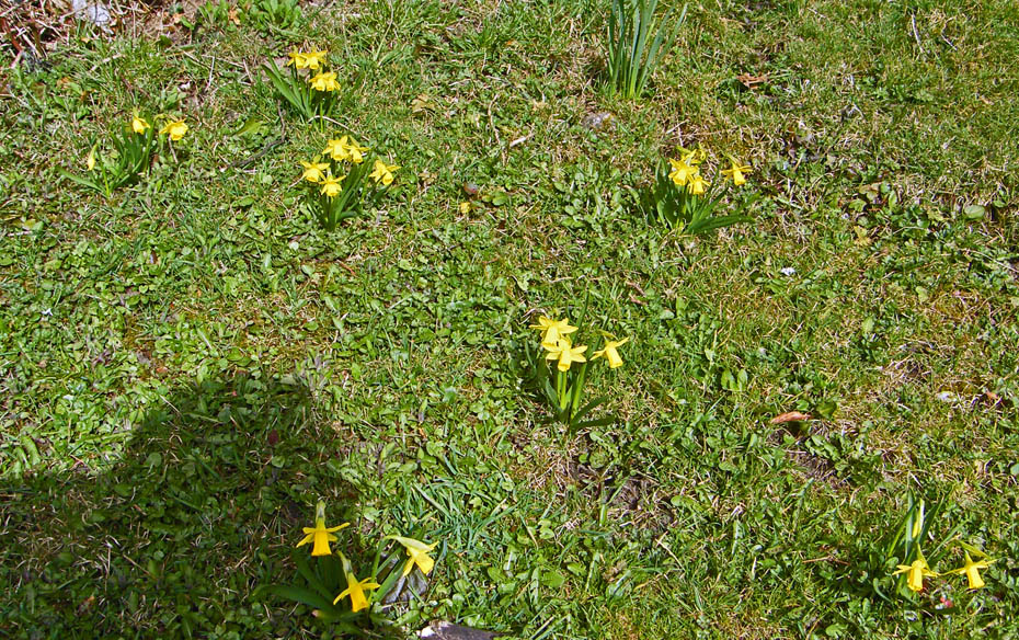
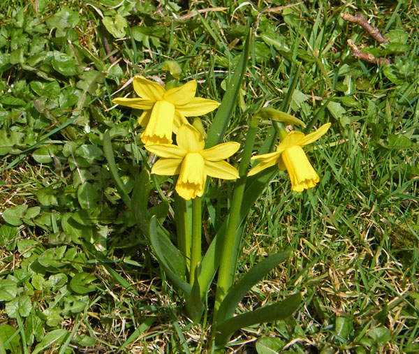
Austwick daffodils
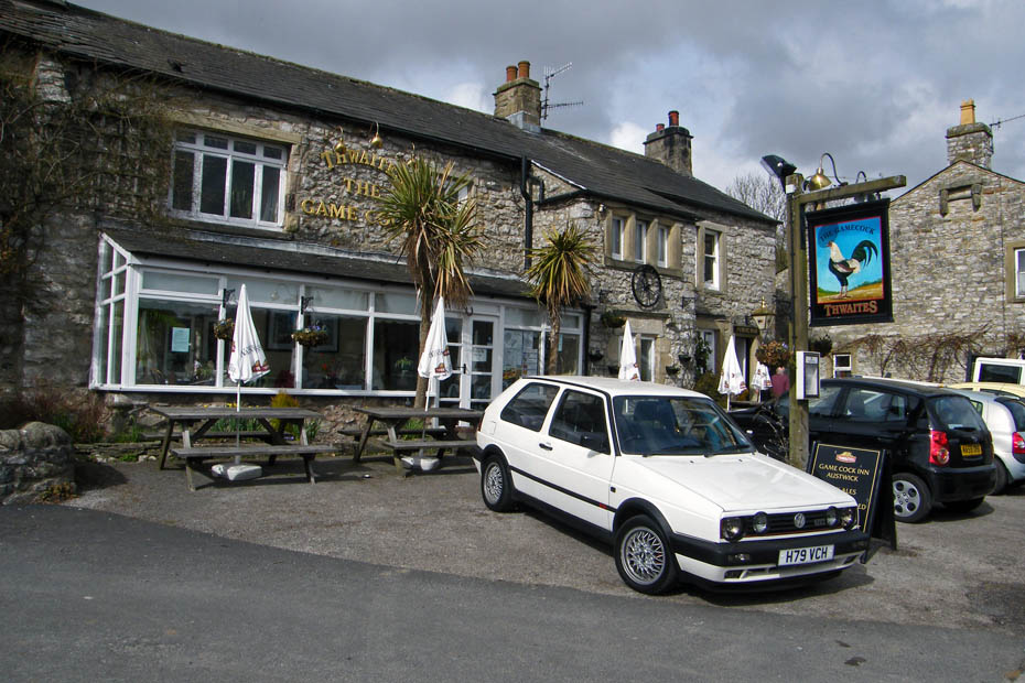
The Gamecock at Austwick where we stopped for a cuppa.
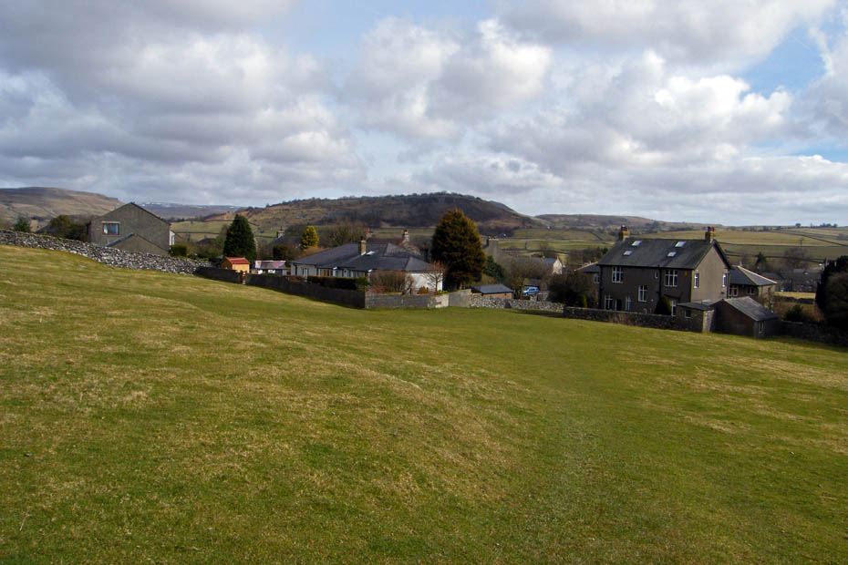
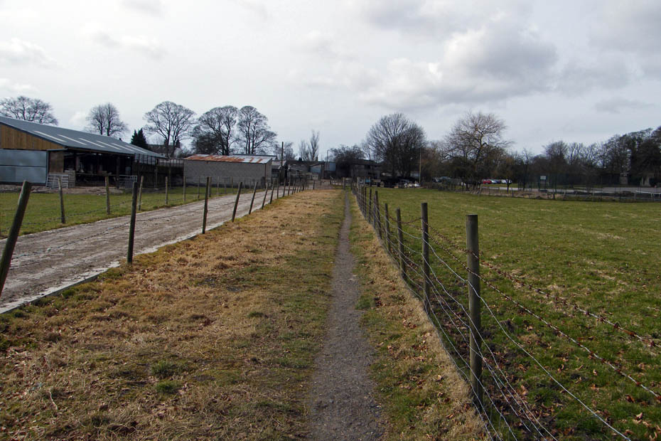
A short walk down the road at Austwick got us to the start of a series of field paths back to Clapham.
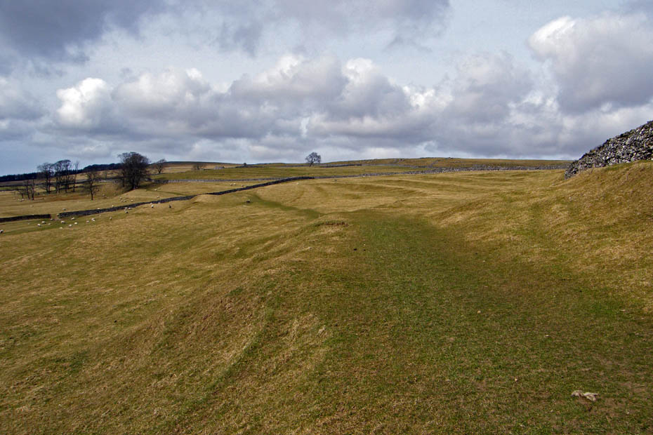
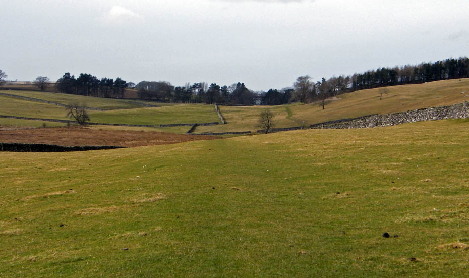
In the second field the OS shows field system which can be clearly seen here. It is a system introduced by the Anglo-Saxon and Viking farmers. The terraces were to improce drainage and make ploughing possible on the steeper slopes. They are called Lynchets.
Almost there.
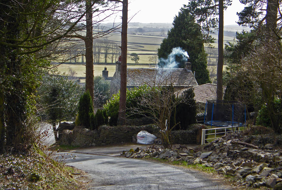
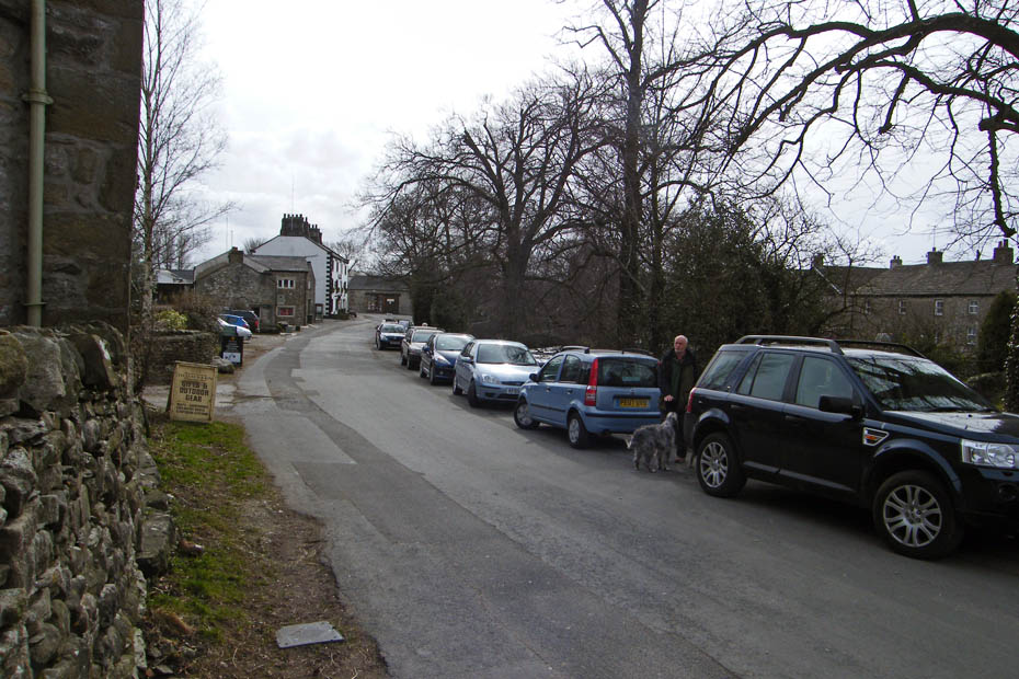
Approaching the farm at Clapham with the car park to the right.
And finally.....back to the car, boots off and into the cafe near the bridge.
Next Walk: 21st March 2010 - Yorkshire Dales - Flintergill and the "Occy Road" from Dent
Last Walk: 17th March 2010 - Yorkshire Dales - Ribblesdale Heriatge & a Stainforth walk
Do you have a Facebook or Twitter account. We post regular updates on both. Just click on either of the links below.
![]()

We hope you have enjoyed viewing this walk. If you have any comments please sign our Guestbook or E_Mail us.
