
| Area: | Yorkshire Dales | Ascent: | 960feet |
| Walk No: | 364 | Time: | 3hours 30minutes |
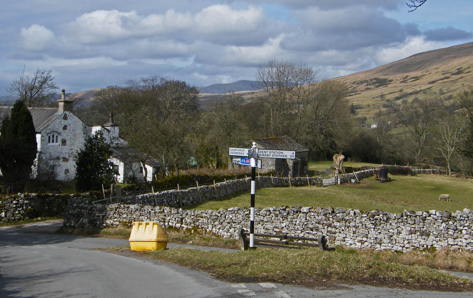
| Date: | 21st March 2010 | Parking: | Dent |
| Distance: | 5.25miles | Weather: | Fine with some sun. |
| Route: |
For those of you that are thinking of going onto the hills I would strongly recommend that you read the advice given by the Mountain Rescue organisation of England and Wales. To read this advice, which will open in a new page please click HERE. If you would like to make a donation to the Mountain Rescue organisation which is purely voluntary please click HERE. Please make the time to read the advice page.
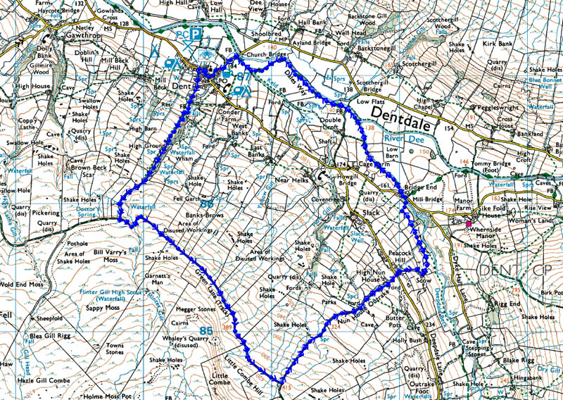
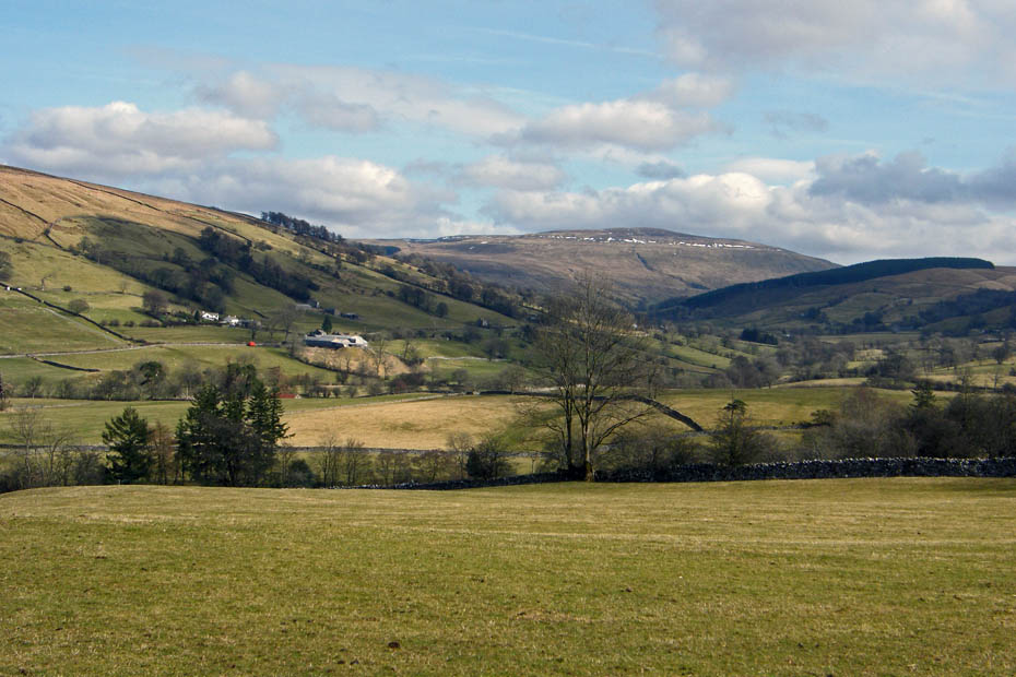
We left home in thick mist which profressively got worse. As we drove up the Barbondale Road from Barbon to Dent we could barely see more than a few yards before us. I had more or less decided we would just be walking along the river but then as so often happens the mist/fog started to break and by the time we descended into Dentdale the sun was breaking through.
Route Map
Early morning mist clears as we get ourselves ready in the car park at Dent.
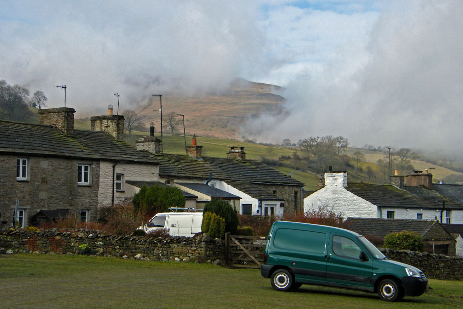
Our walk will start with a walk up Flintergill. If you haven't been up Flintergill before see if there are any leaflets in a rack near the car park toilets. Here we are just walking past the green also known as "Dragon Croft" with a look back across the valley.
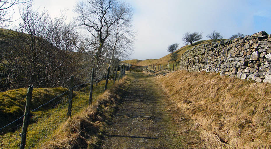
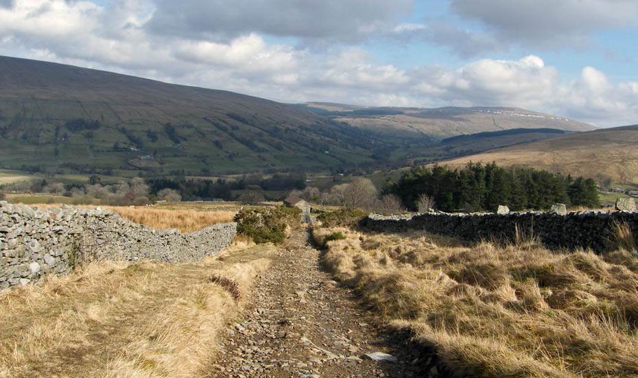
From the green your path takes you up a lane between two rows of cottages at first but they are soon left behind as the surfaced road changes into a rough track. On your left as you climb is Flintergill and to your right a more open aspect.
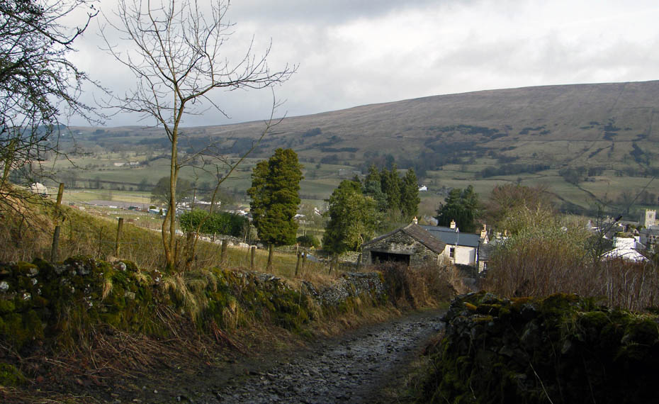
Another look back over the village to the rising ridge of Aye Gill Pike on the other side of the valley.
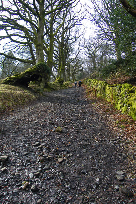
The rough track is a delight to walk upon. On your left look out for the "Wishing Tree" (l). Centuries old it's spirit will grant a wish to those that make there way "deiseal" or clockwise three times through the twisted arch of knotted roots at its base.....don't go "widdershins" or anti-clockwise though or bad luck will come your way.
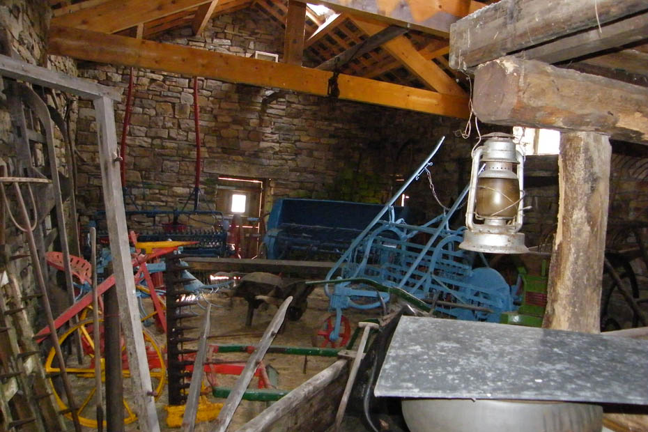
Further up the track you will see on your right a gate and a barn. This barn as been transformed from a roofless ruin into a showcase of old farming machinery. Unfortunately because even in this beautiful places there a mindless fools who may damage the collection they have to be fenced off but do go in and take a look.
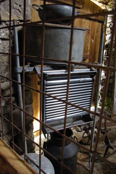
Edith reckons this is an old milk cooler. She remembers one on her Uncles farm at Witherslack in South Cumbria when she was a youngster.
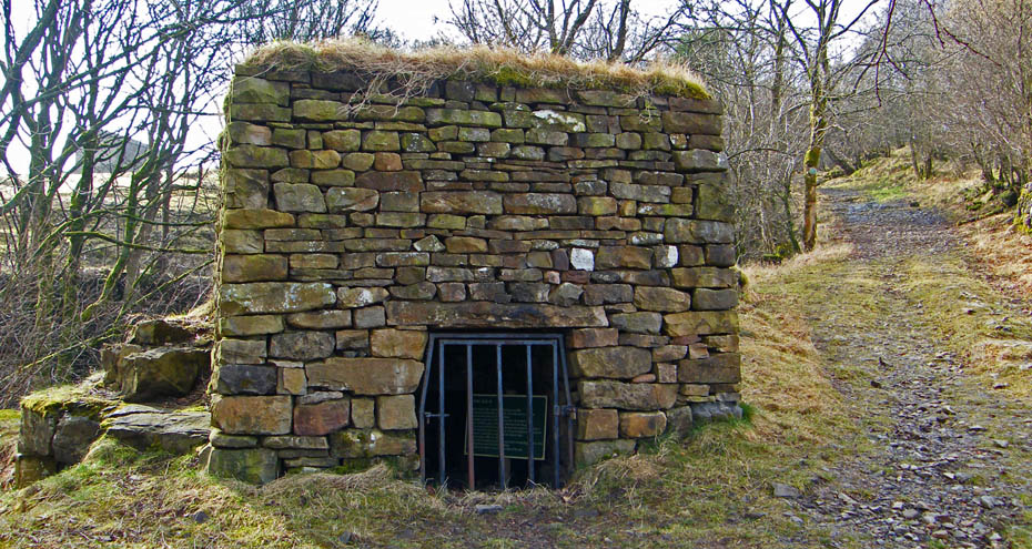
Very near to the gate & barn but on the other side of the track is this lime kiln. It was built around 1750 when limeburning was a common task on many Dales farms.
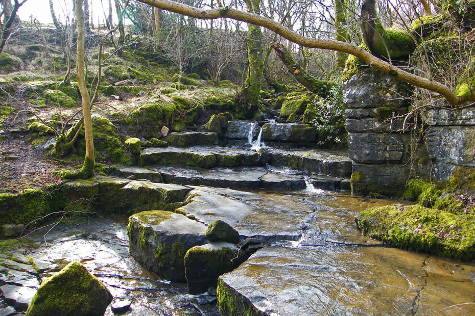
It looks a natural part of the gill but this was a limestone quarry.
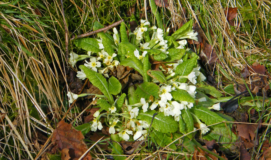
Higher up the gill we were suprised to find this wild Primrose already flowering.
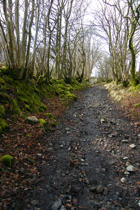
A little higher and things begin to open out a little.
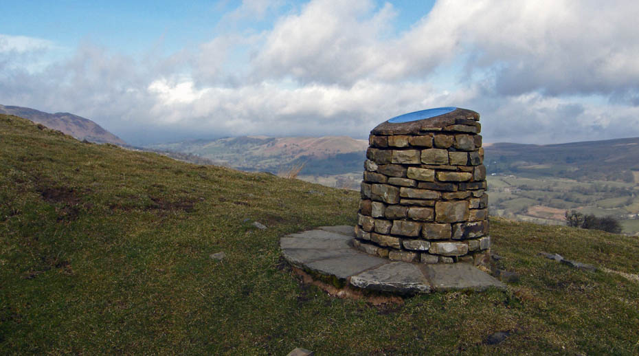
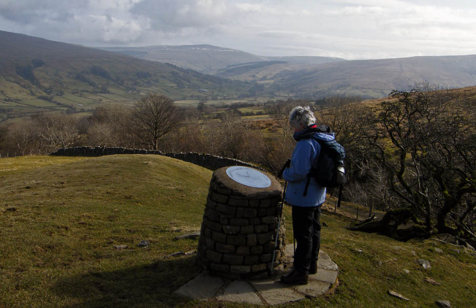
Just before the gate shown in the previous picture there is a footstile or just after the gate a sloping path upwards. Both lead to this fine viewpoint with a toposcope.....
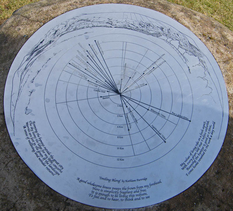
which points out all the salient features of the valley along with a little ditty.
Without being unkind a map for Edith is something put put the sandwiches on so the toposcope is really helpfull.
We are now at the top of Flintergill with Aye Gill Pike across the valley. We walked over that in around 1985 from Garsdale, not a walk I would wish to repeat.
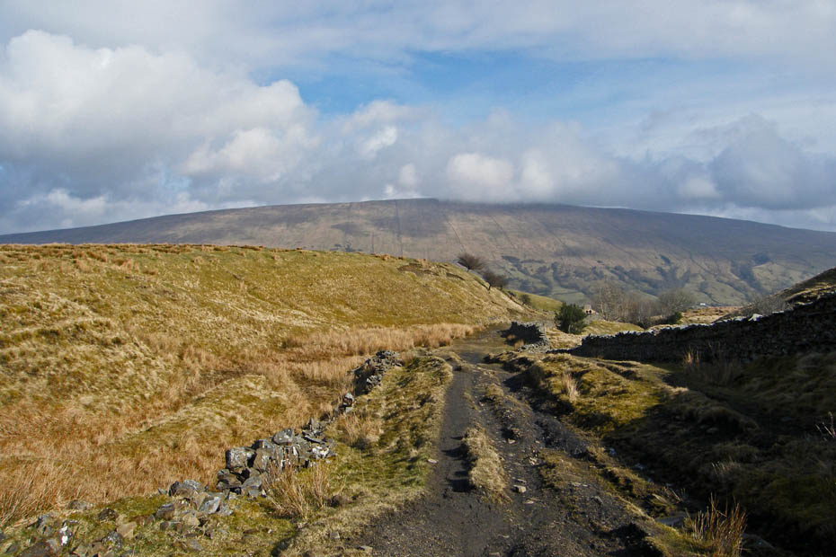
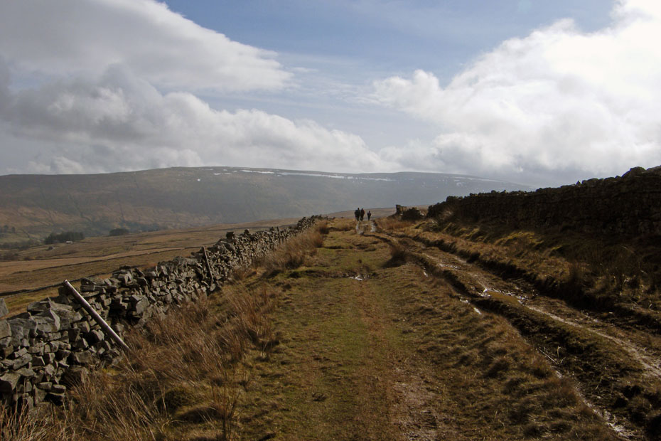
The junction of Flintergill and the Old Occupation Road more commonly know as the "Occy Road". Here we are looking westwards towards Middleton Fell.
Looking in the direction of Sedbergh towards Frostrow Fell and Helms Knott. The Howgill Fells are hidden in that cloud.
The bridge over Flinter Gill which begins life as a series of springs below Great Coum
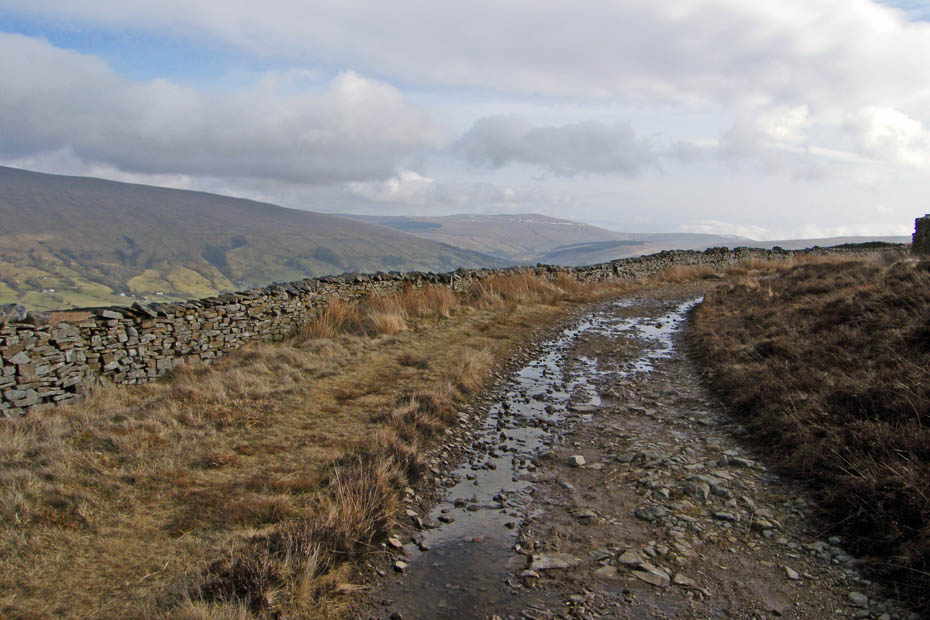
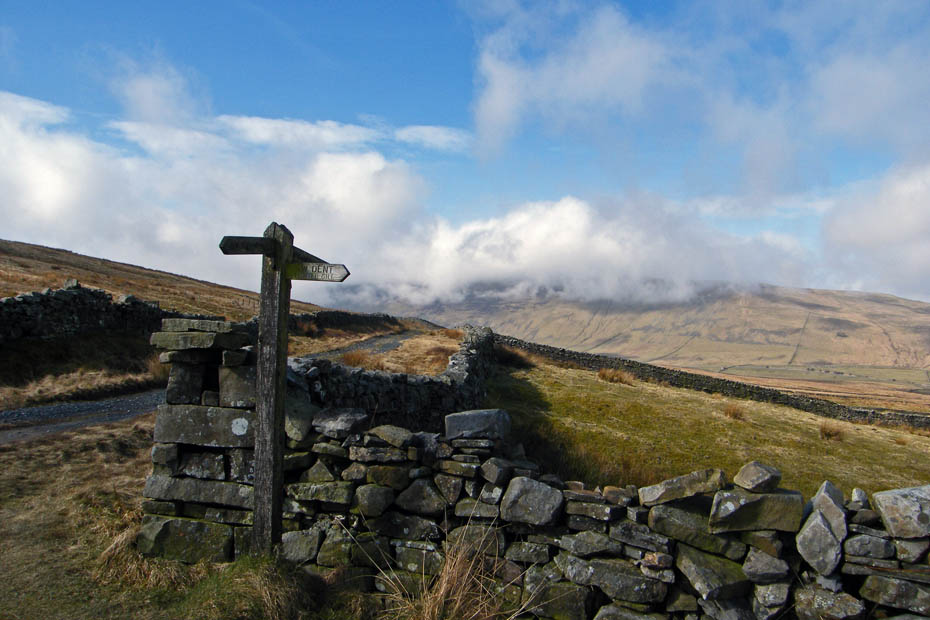
The Old Occupation Road or the Occy Road was an ancient droving route before being rebuilt as an access road in 1859 at the time of the Enclosures. It is quite badly rutted in places and can be quite wet. A lot of criticism as been aimed at off-roaders damaging the track and it is undoubtably true but I believe it was used for tank manouvres during WWII and I don't suppose that did it much good.
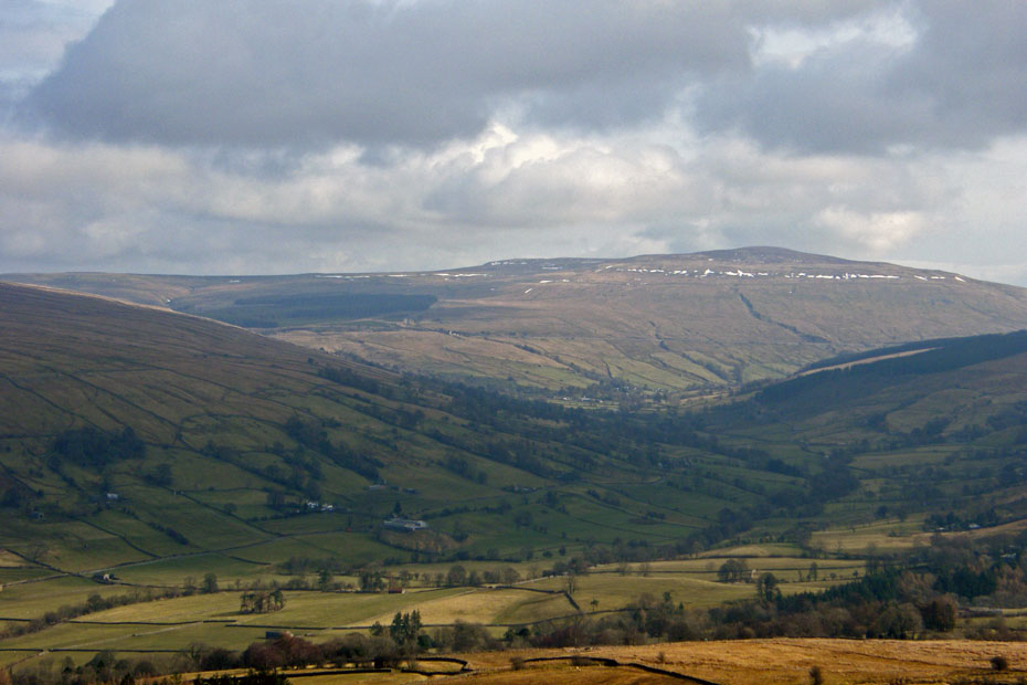
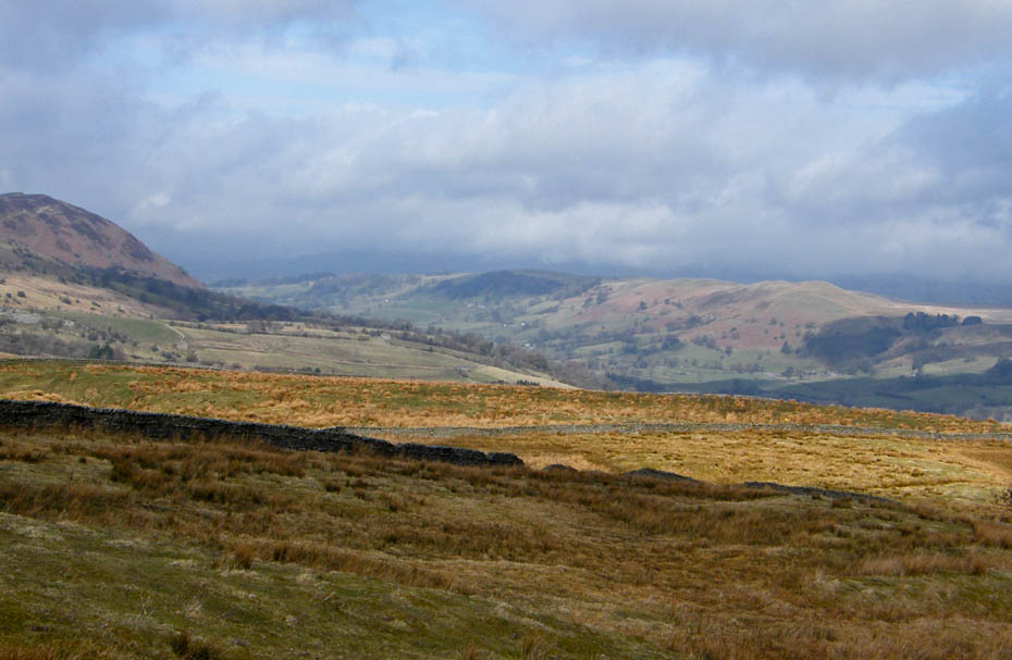
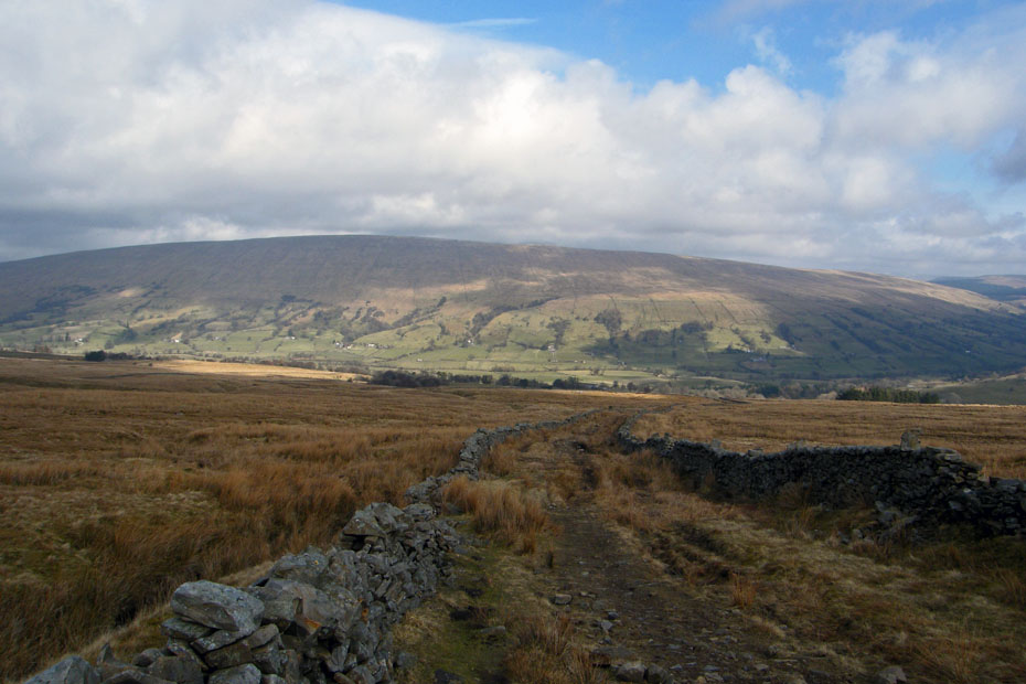
Looking up the valley to Great Knoutberry Hill another not to inspiring summit.
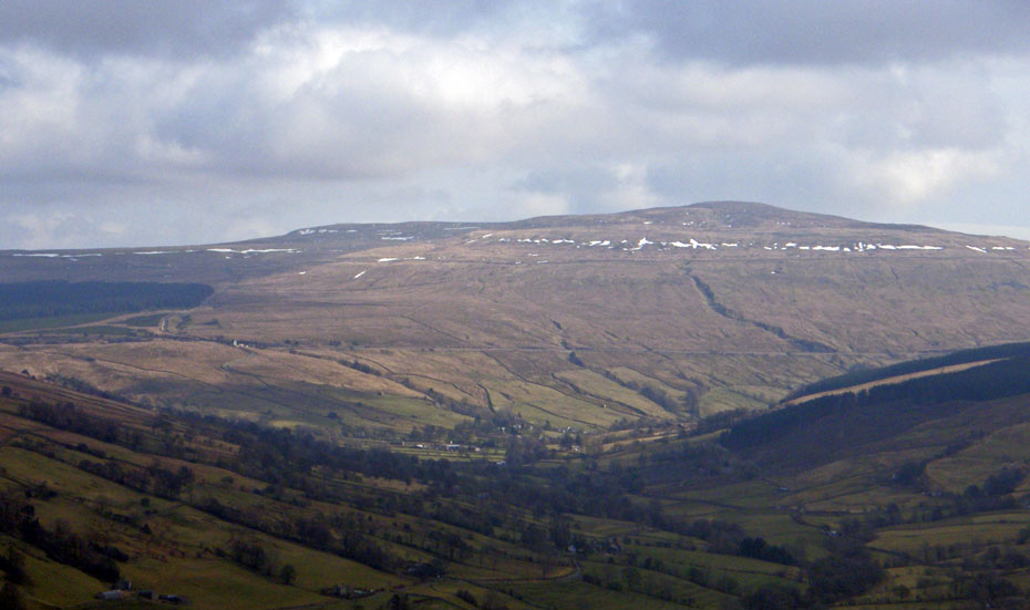
A bigger close up of the above picture. You can see the Settle to Carlisle railway line passing across the lower face of Great Knoutberry and about 1/4 in from the left is Dent Station which at 1150' is the highest mainline railway station in England.
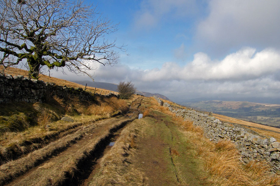
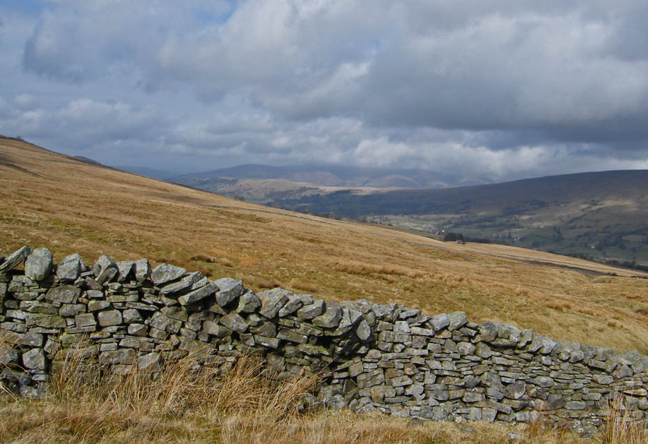
Looking back along the Occy.
Looking along the Occy to Whernside. Forget all other ascents of Whernside (unless of course your doing the YD3P) this is in my opinion the finest route. You just walk along the Occy to the head of Kingsdale and then down the road a few yards before a climb up the western side. The biggest treat is in the descent past Whernside Tarn to pick up the Craven Way back down to Dentdale. According to my old walking diaries it is around 12.5miles and 2350' but that was measured with those old serated wheels.
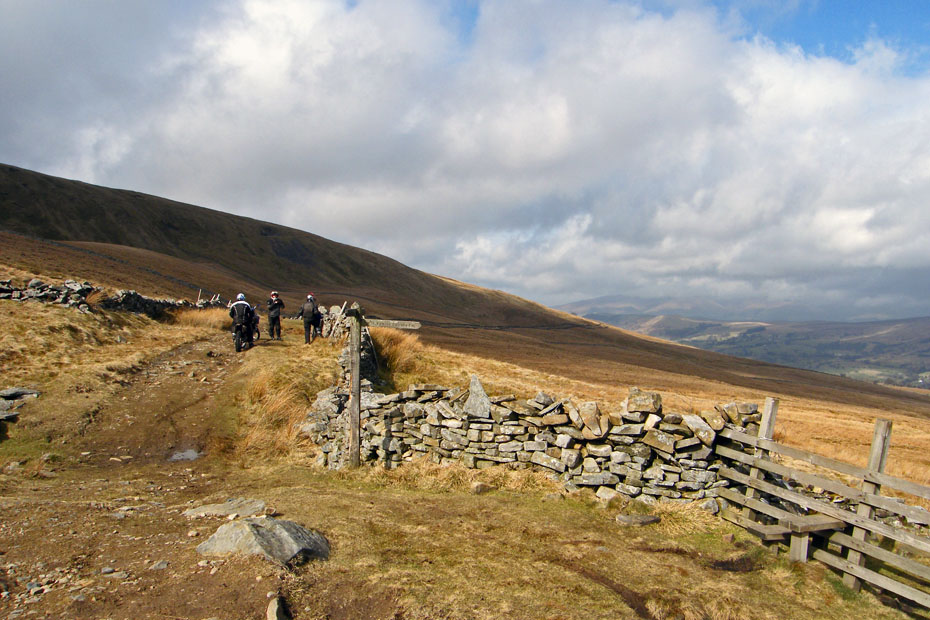
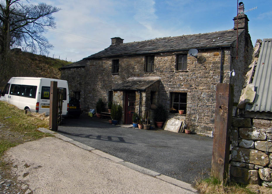
We are now at the junction with Nun House Outrake down which we descend. The three lads on the Trail Bikes have just come up there.
This isn't as steep as Flintergill and the walk down is nice & easy.
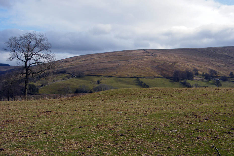
This was about the best view we had of the Howgills
High Nun House
The path you can see on the fellside is the Craven Way as it descends from Wold End on the northern slope of Whernside.
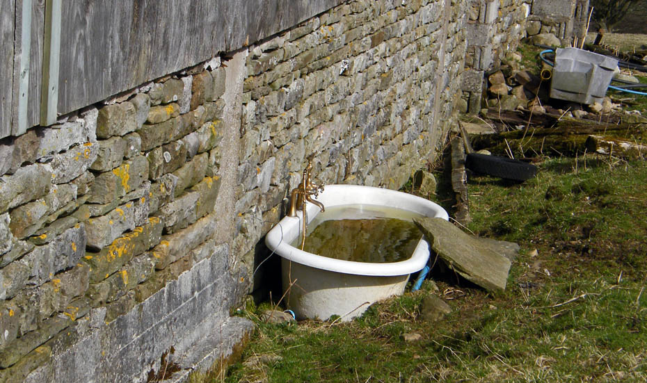
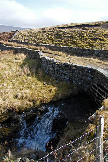
Hot & Cold running water?
From here we took the lane opposite to pick up the Dales Way.
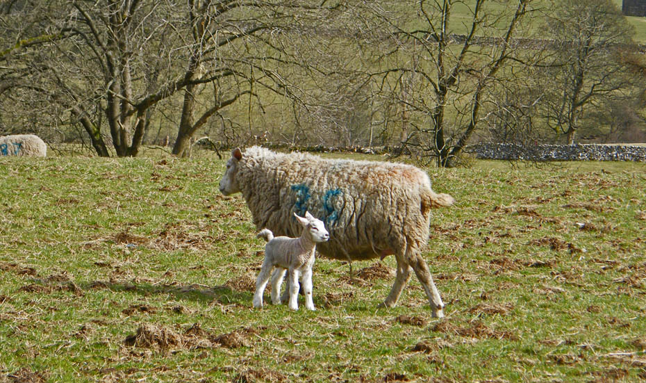
Lots of these little fellas about today
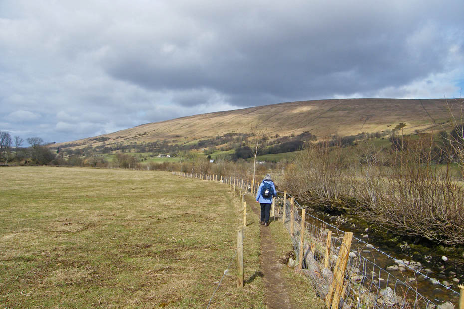
Following Deepdale Beck
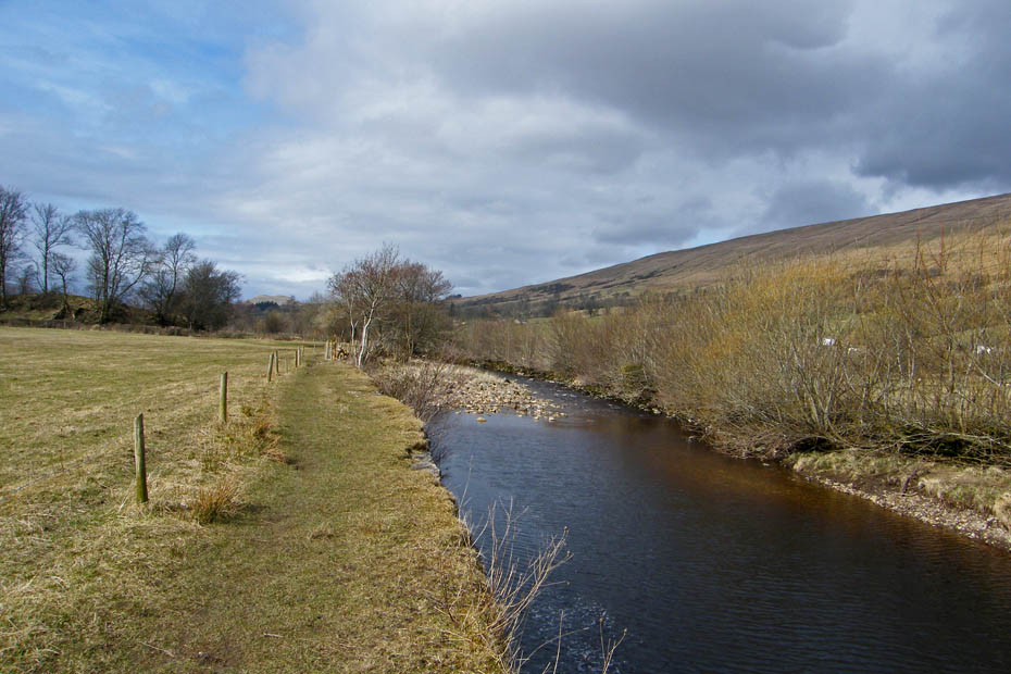
and then the River Dee
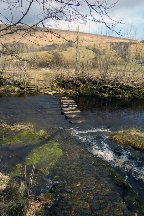
Stepping stones near Double Croft.
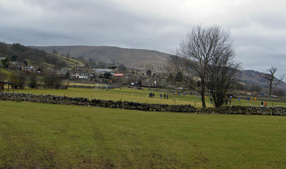
Approaching Dent
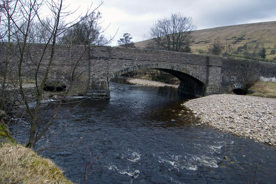
Church Bridge at Dent
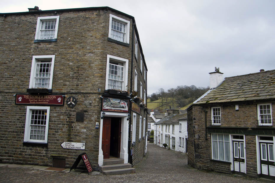
The Geaoge & Dragon, a Grade 2 listed building and tap house for the Dent Brewery.
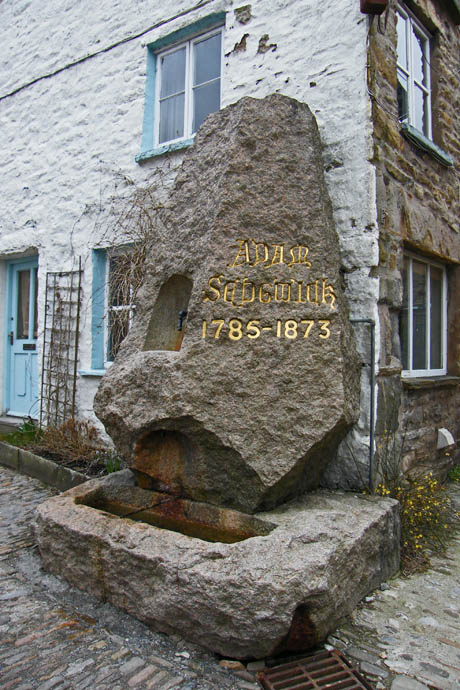
The granite Sedgwick Memorial....Adam Sedgwick (1785 - 1873) was undoubtedly Dentdale's most famous son.
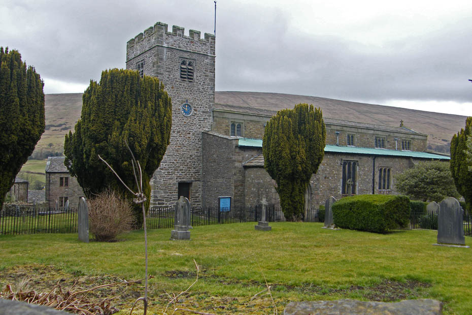
St Andrew's Church at Dent.....the clock as stopped btw
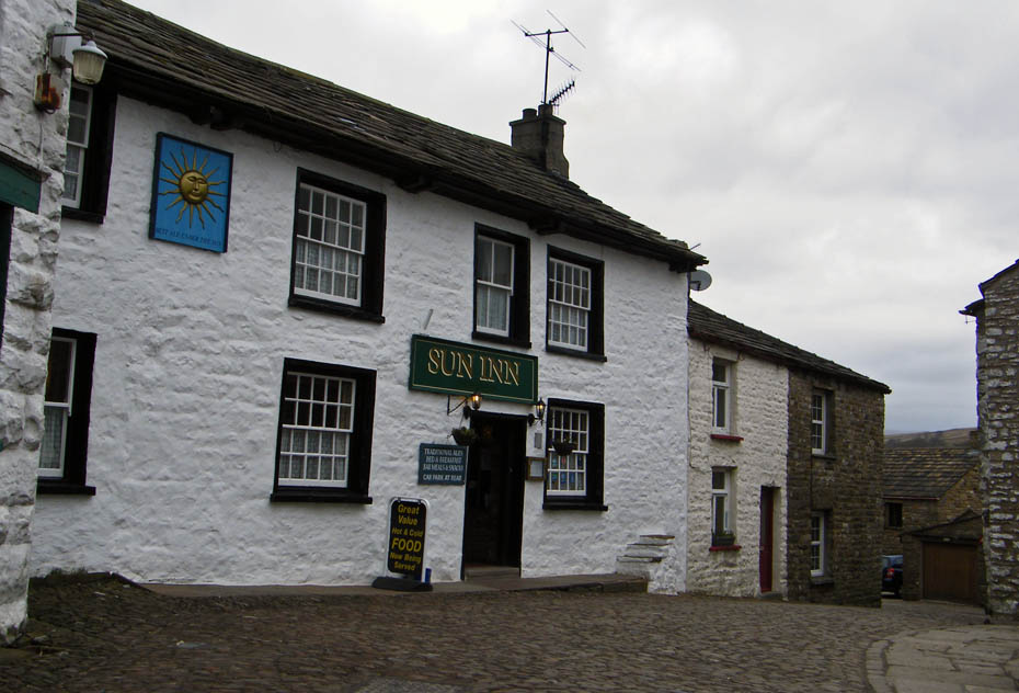
The Sun Inn at Dent....I had noticed that the cafe we usually visit was not open as we set off so refreshments were taken here.
Next Walk: 23rd March 2010 - Yorkshire Dales - Twisleton and Ribblehead
Last Walk: 19th March 2010 - Yorkshire Dales - The Norber Erratics and Crummackdale from Clapham
Do you have a Facebook or Twitter account. We post regular updates on both. Just click on either of the links below.
![]()

We hope you have enjoyed viewing this walk. If you have any comments please sign our Guestbook or E_Mail us.
