
| Area: | Yorkshire Dales (W) | Ascent: | 720feet + 80feet |
| Walk No: | 365 | Time: | 3hrs 30minutes + 40minutes |
| Date: | 23rd March 2010 | Parking: | nr Hill Inn then nr Ribblehead |
| Distance: | 7.50 + 1.50 | Weather: | Fine with hazy sun |
| Route: |
For those of you that are thinking of going onto the hills I would strongly recommend that you read the advice given by the Mountain Rescue organisation of England and Wales. To read this advice, which will open in a new page please click HERE. If you would like to make a donation to the Mountain Rescue organisation which is purely voluntary please click HERE. Please make the time to read the advice page.
It as become obvious to me at least that because of my health problems my walking may not be a long-term pastime so in recent walks I have benn revisiting places that I may not have the opportunity to do so again. Two such places are included in todays walk, one a statue and the other a church. The first walk was not meant to be as long as I made it but it just felt good being there again that it was worth a little pain.
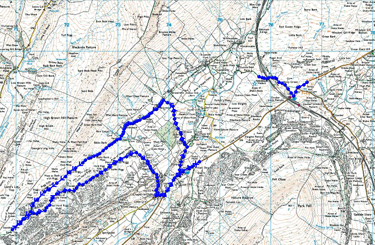
Route Map showing the two walks
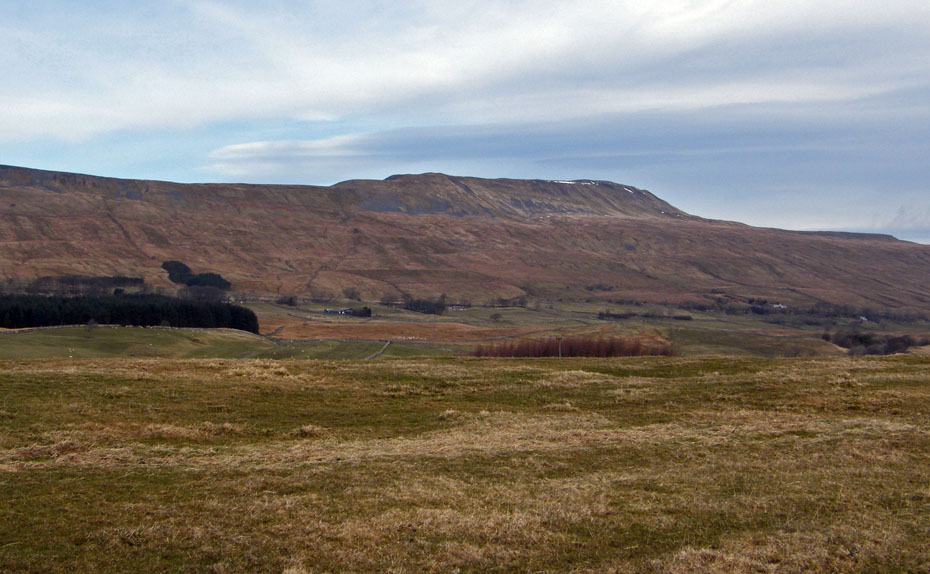
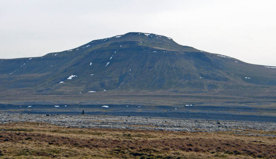
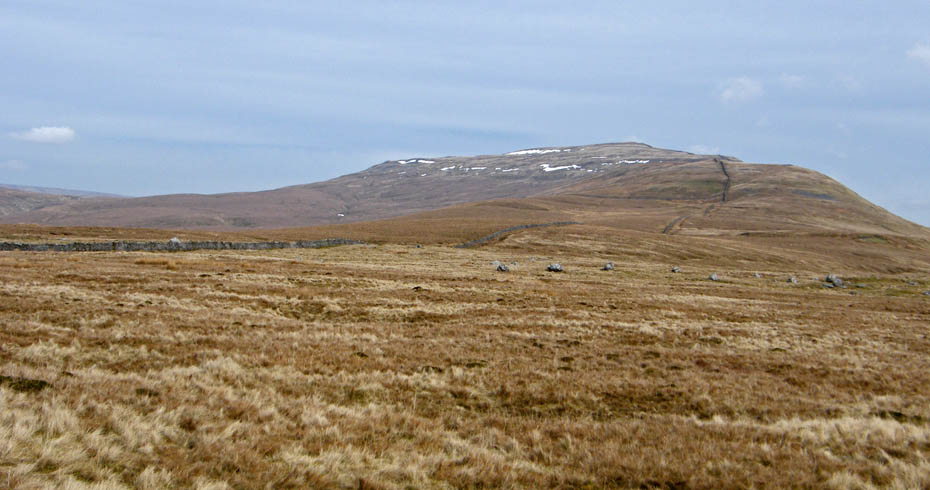
For the first walk I parked the car on the Ingleton - Hawes road just above the Hill Inn with this view of Whernside.
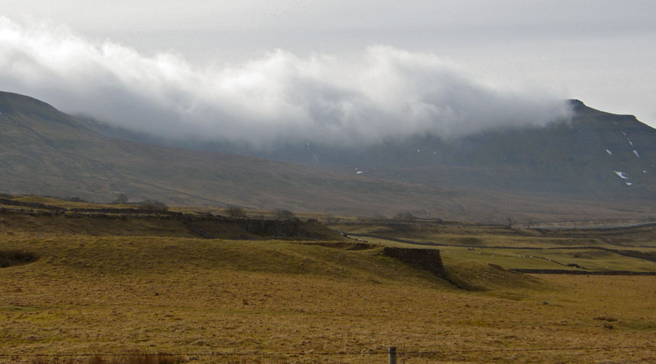
As I walked down the road towards the Hill Inn the cloud was spilling over Ingleborough
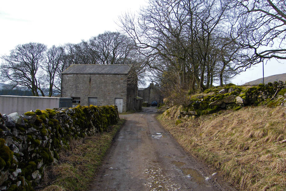
I set off along Philpin Lane which is part of the route of the Yorkshire Dales 3 Peaks walk, a walk we have done a number of times.
Passing through Philpin to the sound of noisy dogs.
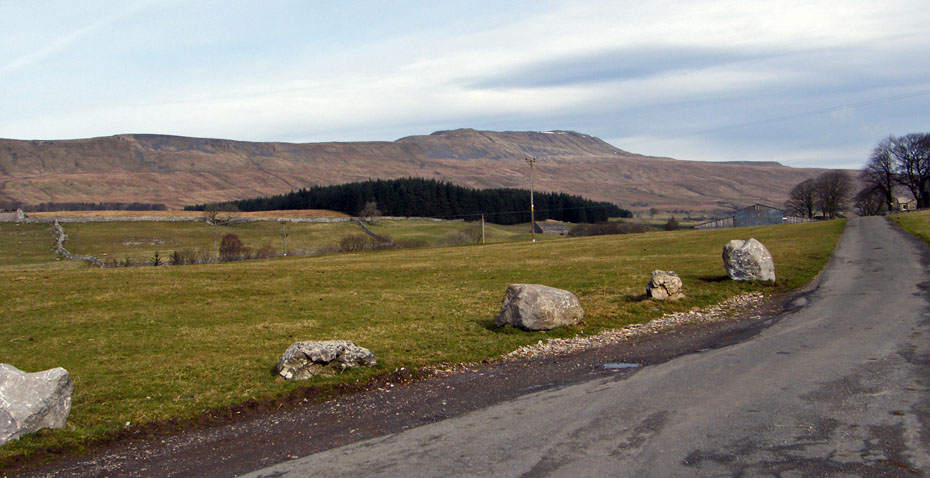
Approaching Bruntscar with Whernside towering over. Whernside does not hold the same affection as Ingleborough and Pen y ghent for me. The routes up it on this eastern side are to me at the best a trudge and looking back to the early days a plain mess as the YD3P gained in popularity. My favourite route up this hill is from Dent using Flintergill and the "Occy Road" with a return past Whernside Tarns and the Craven Way.
At the "T" Junction ahead I left the 3 Peaks track to go left.
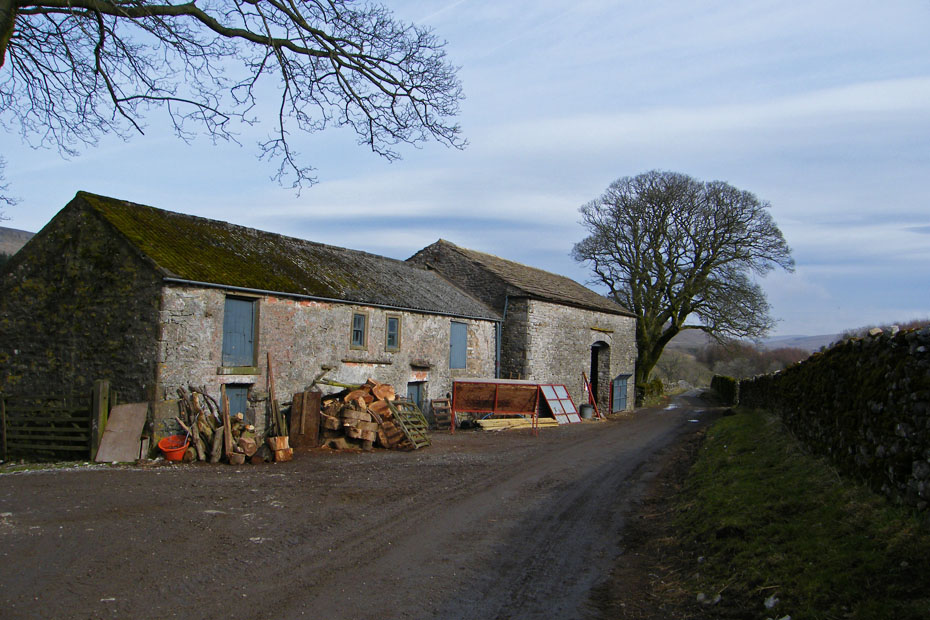
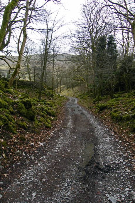
It is a good track which serves a number of homesteads along the way.
Here the path rises a little to Ellerbeck.
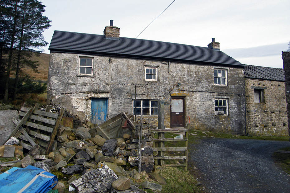
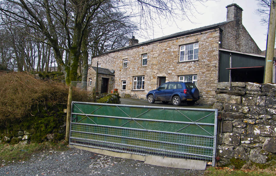
Where this old farmhouse as seen far better days.
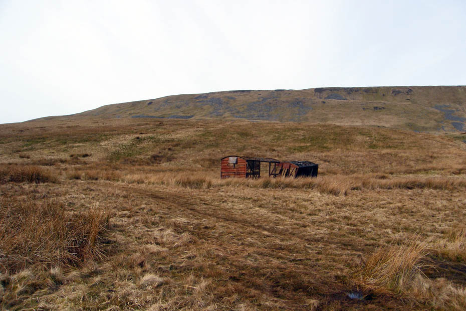
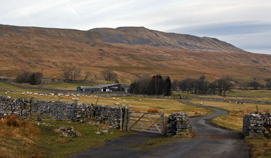
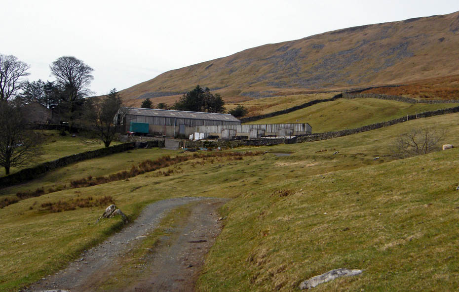
My original intention when I set out was to drop down to Chapel-le-Dale from here. However I decided to have a bit of a wander along the moor towards Scar End. Those old carriages have been there for years although I remember them in a lot better condition.
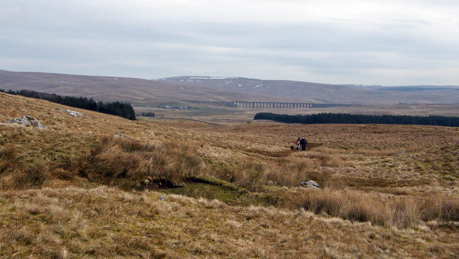
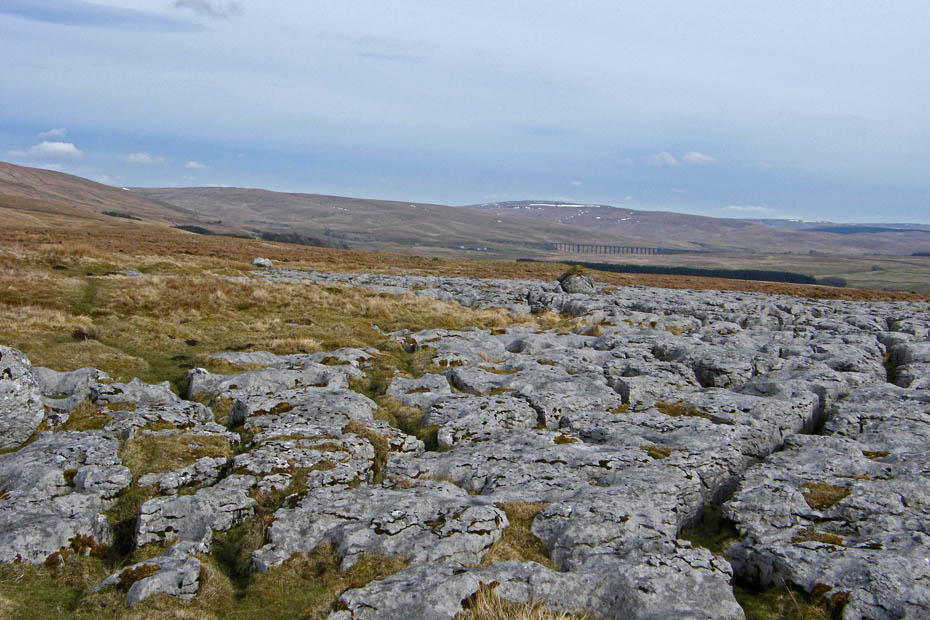
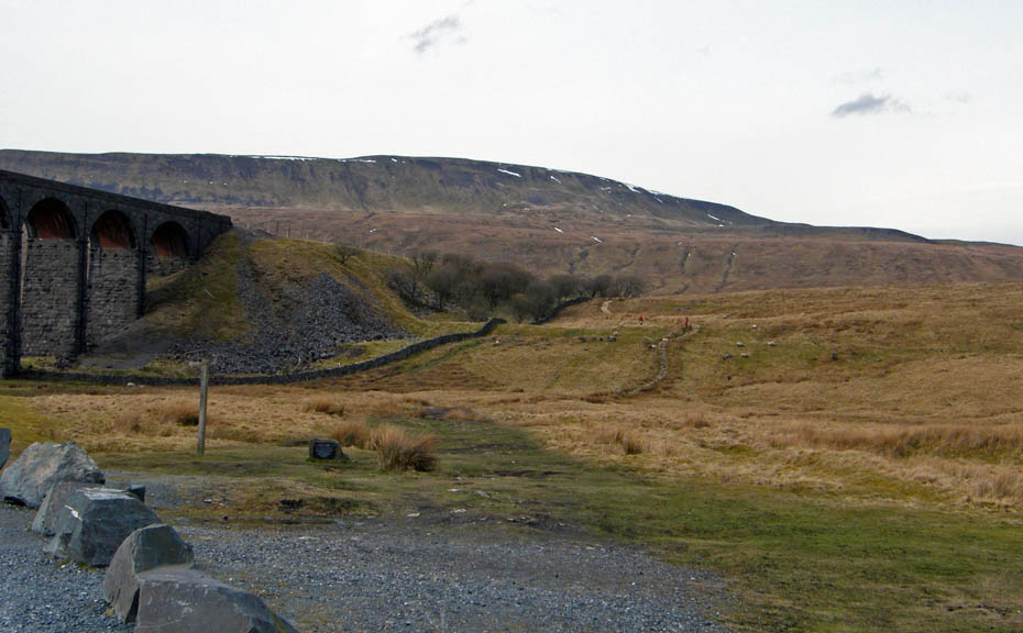
Looking back towards the Ribblehead Viaduct with Blea Moor on the left and Cam Fell on the right. I was rather surprised to see I had company, although the path is well used you don't see many folk here in mid-week.
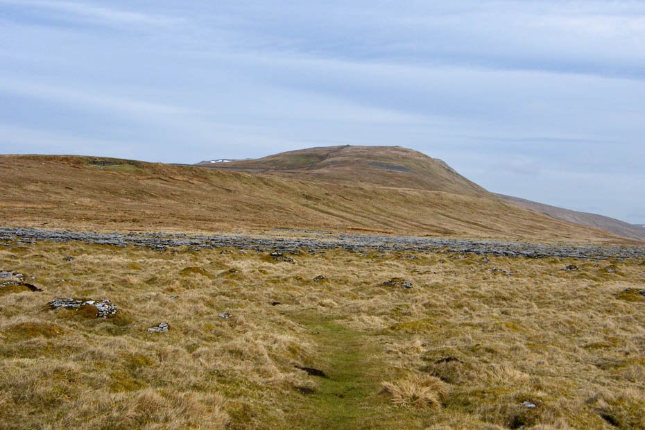
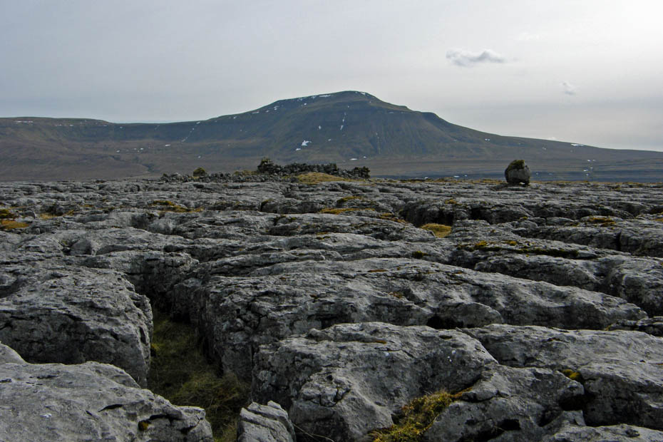
The top of Whernside just peeks out as I have a look back.
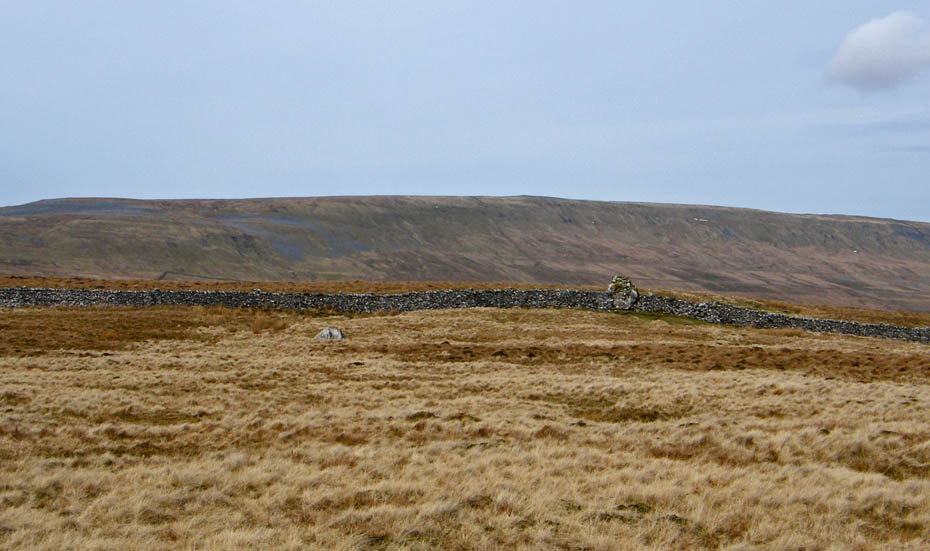
As I continued SW'ly the southerly ridge of Whernside lowered to reveal Gragareth on the other side of the Kingsdale valley
I'm very near to where I decided to turn around now. The "nick" in the limestone is where the path from Ingleborough / Twisleton Scar End comes up to either walk along here or to follow the wall up to Whernside. The Whernside route is not what could be called a "classic" by any stretch of the imagination but it does hold the views.
Across the valley....a dark Ingleborough
The "Standing Stone"...it is part of the ridge wall and I don't think it as any significance. To me as a novice many years ago it gave reassurance as I walked Whernside from Ingleborough for the first time in very thick cloud.
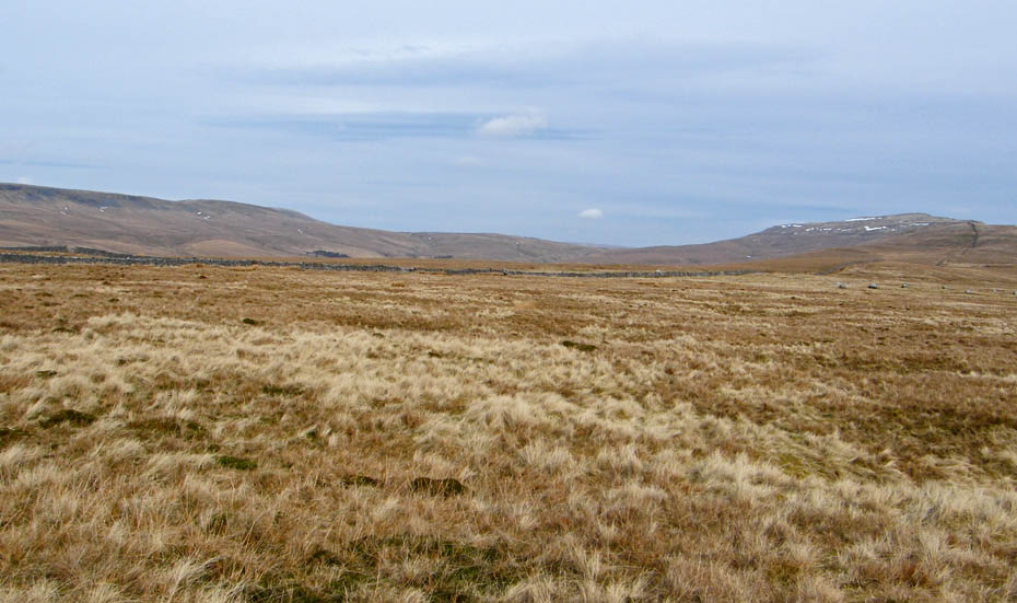
Looking towards the head of Kingsdale.
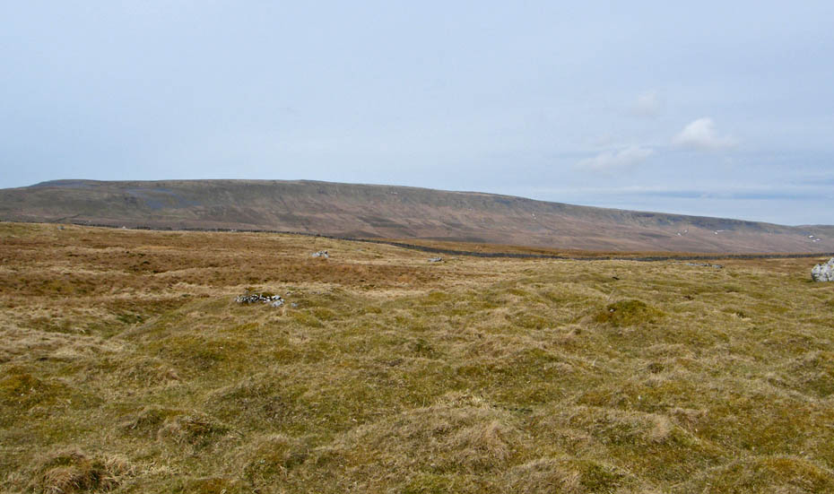
Gragareth, Green Hill and Great Coum
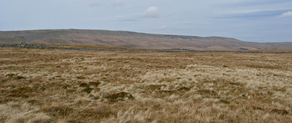
Whernside as I start to make my way back.
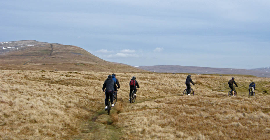
Rather than retrace my steps I decided to drop down a bit to the east to pick up a path. I hadn't been on it long when this group of youngsters passed me.
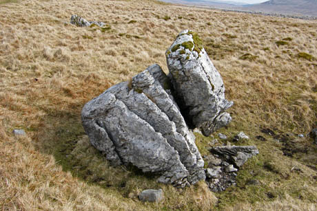
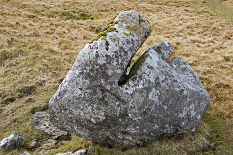
Limestone sculptures, I love them. This is the same rock from opposite sides....this ia natural art -- Tracey Emin eat your heart out!!
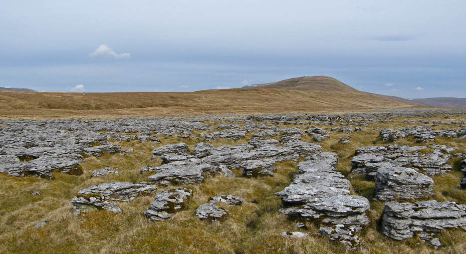
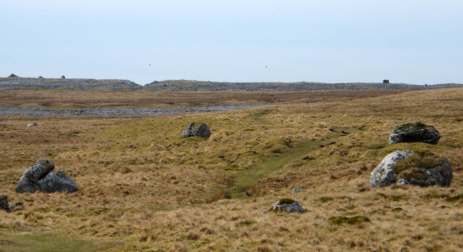
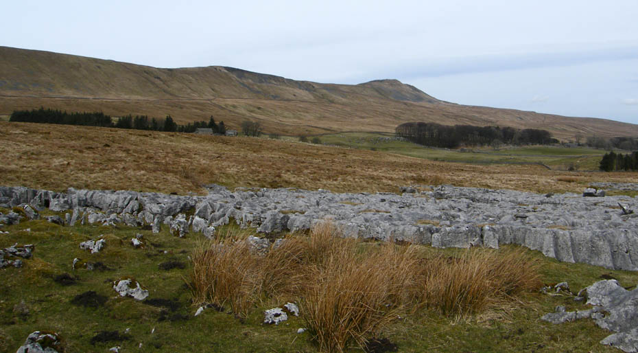
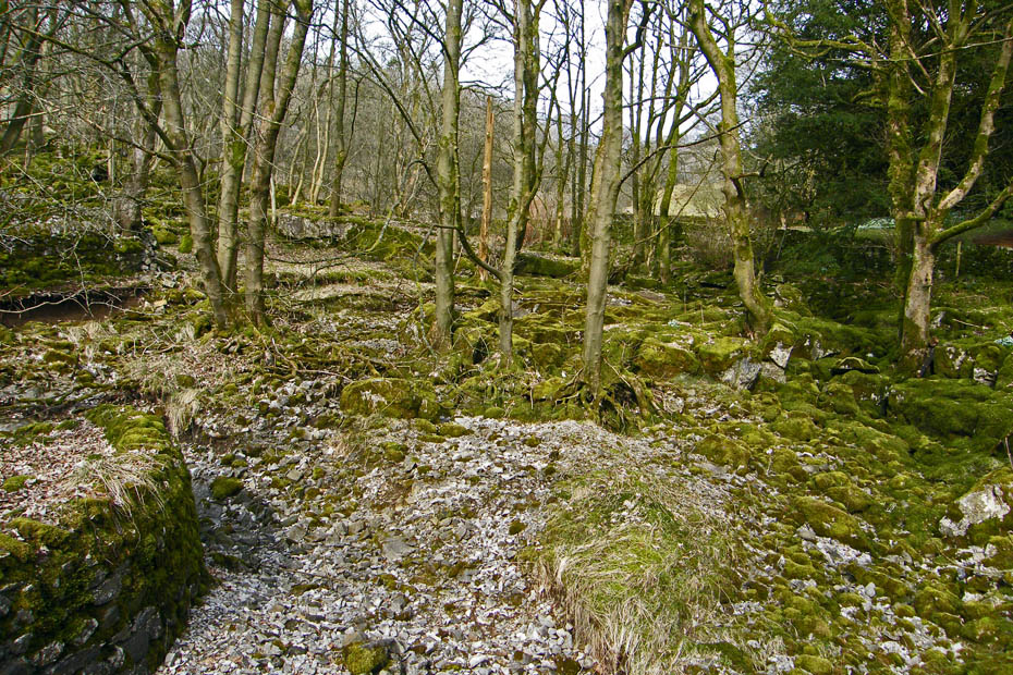
The lower path was slower to walk on as it passed through areas of weathered limestone pavement.
A short break here where there were plenty of natural seats.
Looking ahead....my outward path started by the trees at top left whereas this one will lead me to the lane for Chapel-le-Dale by the trees mid-right.
I can see my car from here!!!
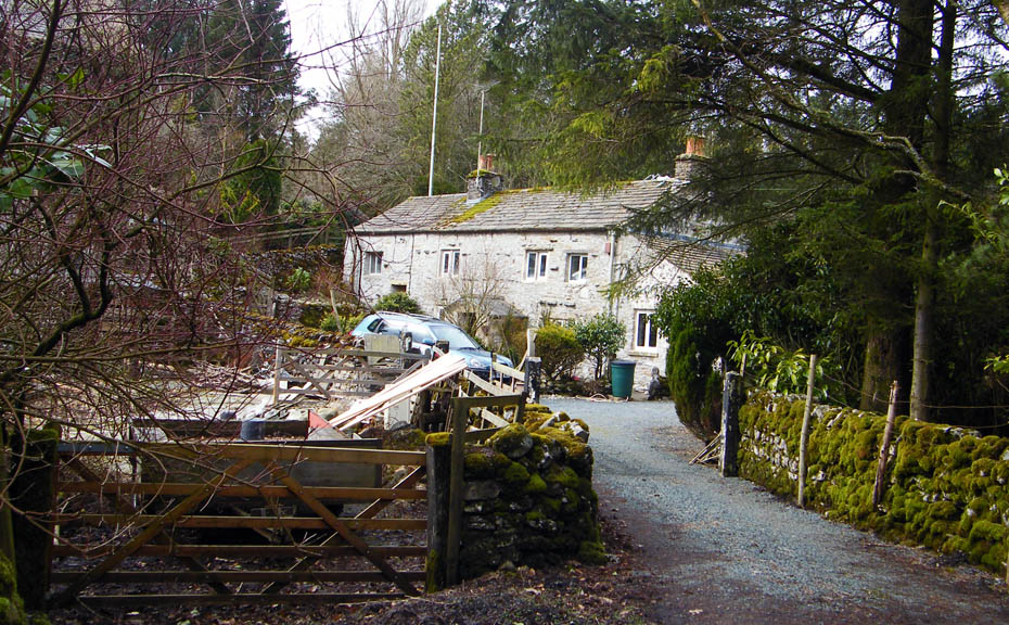
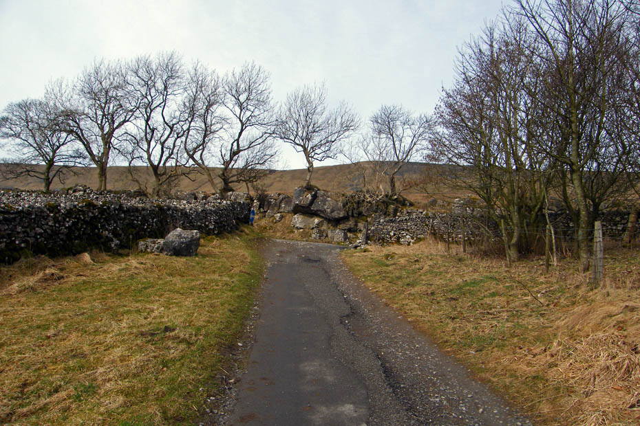
Passing Gill Head as I walk down the rough lane towards Chapel-le-Dale
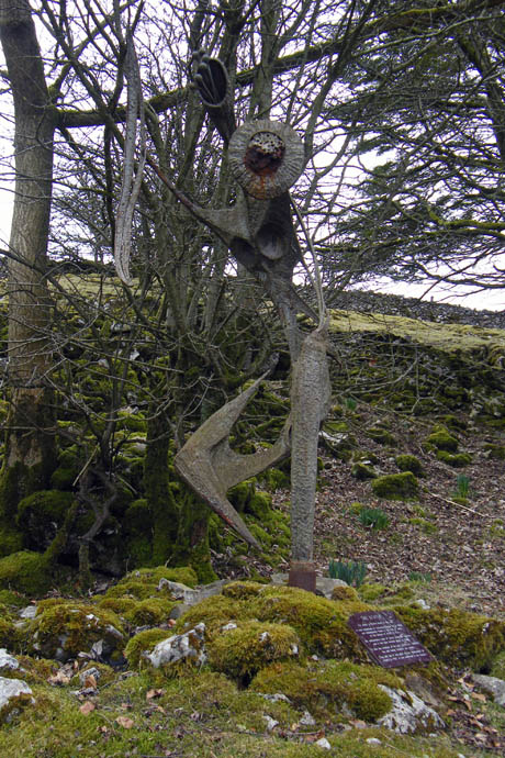
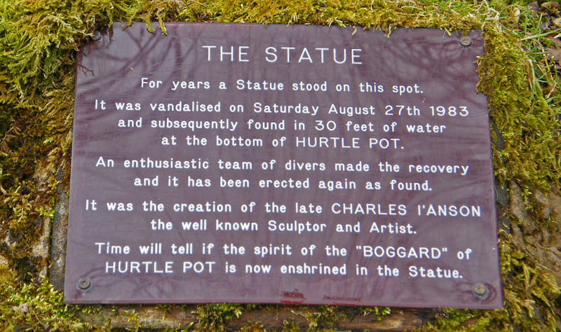
This ia one of the things I wanted to see.
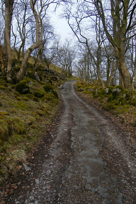
The track continues downhill
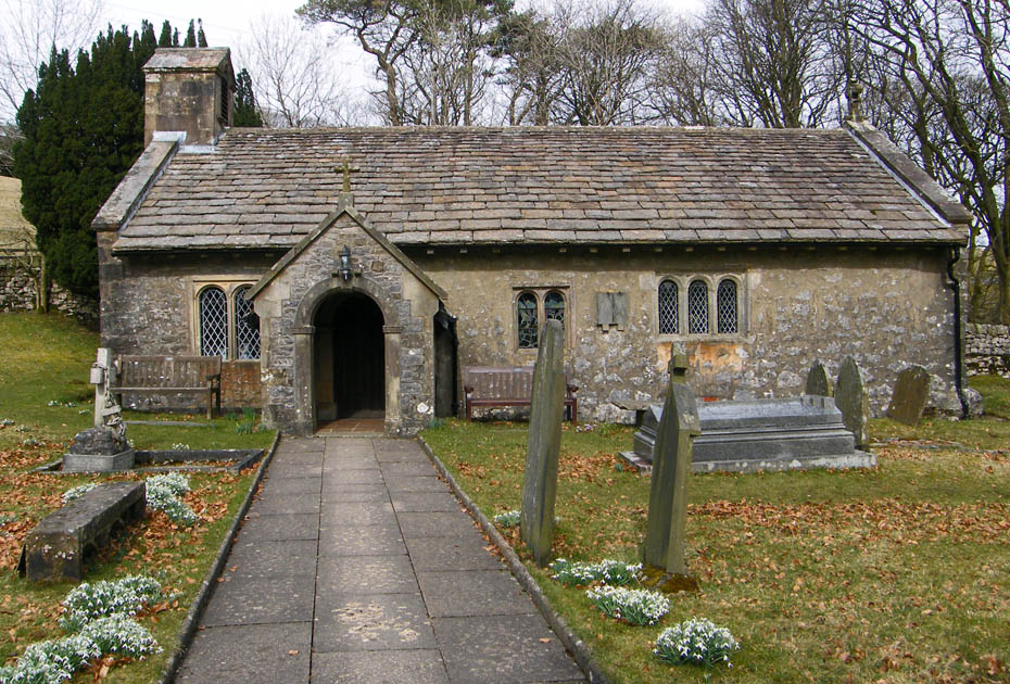
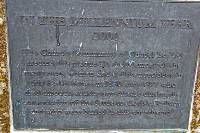
St Leonards' Church at Chapel-le-Dale. It is a Grade II listed building built in the late 17th Century with some 18th Century additions. According to English Heritage it was vastly restored in 1869. Inside the church there is a white marble memorial which reads
TO THE MEMORY OF THOSE WHO THROUGH ACCIDENTS LOST THEIR LIVES, IN CONSTRUCTING THE RAILWAY WORKS, BETWEEN SETTLE, AND DENT HEAD. THIS TABLET WAS ERECTED AT THE JOINT EXPENSE, OF THEIR FELLOW WORKMEN AND THE MIDLAND RAILWAY COMPANY 1869 TO 1876
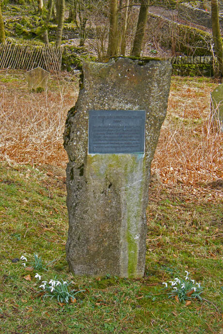
And in the churchyard....
As I crossed the bridge over Chapel Beck there was no sign of the water although it could be heard. There was evidence of heavy scouring however when the beck was in spate.
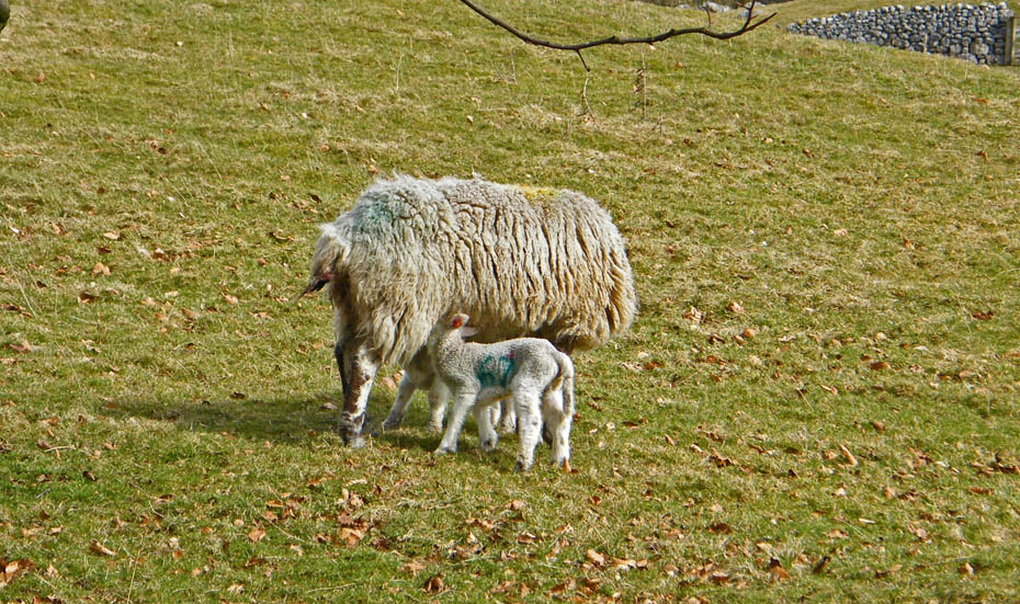
It was lunchtime for this young pair as I walked back up the road towards the car.
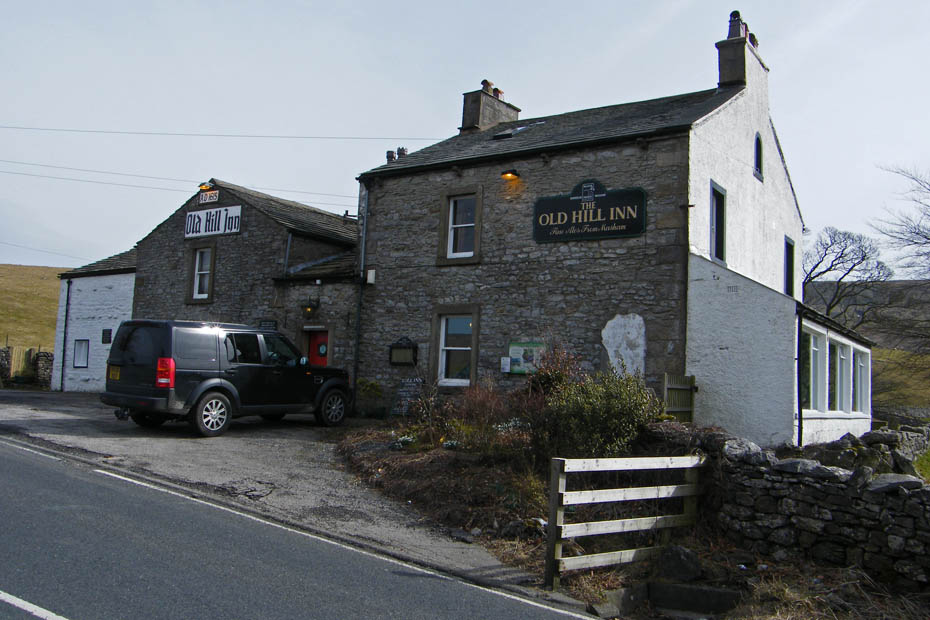
It was very hard to walk by this place but I had other things in mind.
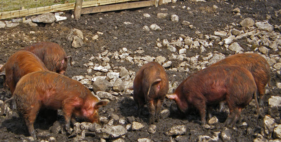
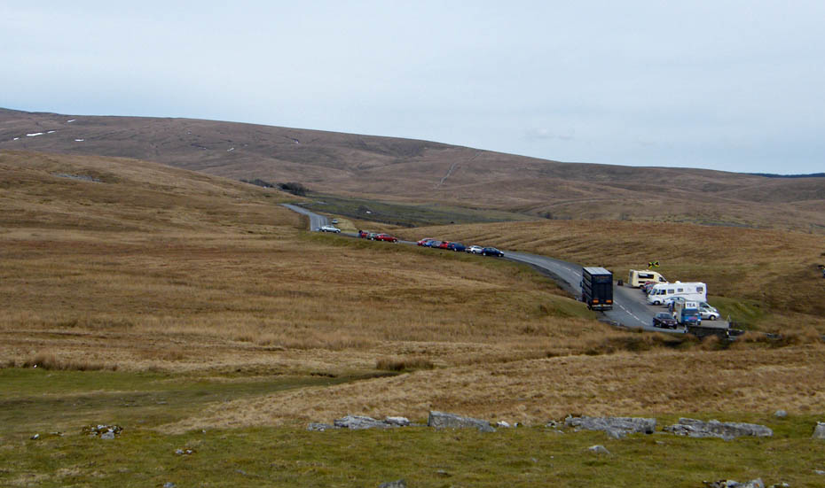
I could recommend the pork though!!....these were next to the car park across the road from the Inn. Having returned to the car it was but a short drive to Ribblehead which was quite busy.
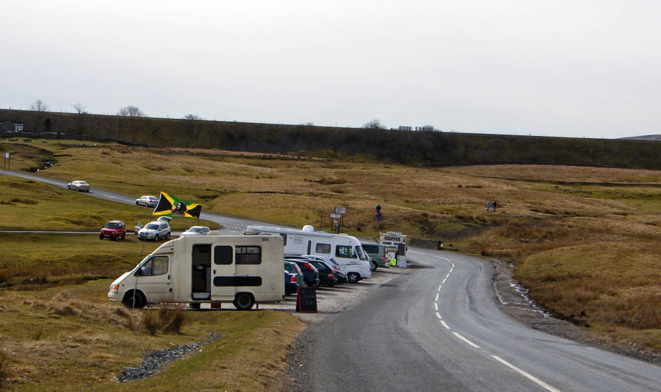
I had to park the car a little way up the road from the snack bar at the bridge. As I walked down I noticed that there was a second snack bar there. As I got my Bacon Buttie I asked what was going on. I cannot post what was said here but hopefully the situation will soon revert back to normal. The one near the bridge as been there for around 30 years and is well known to walkers.
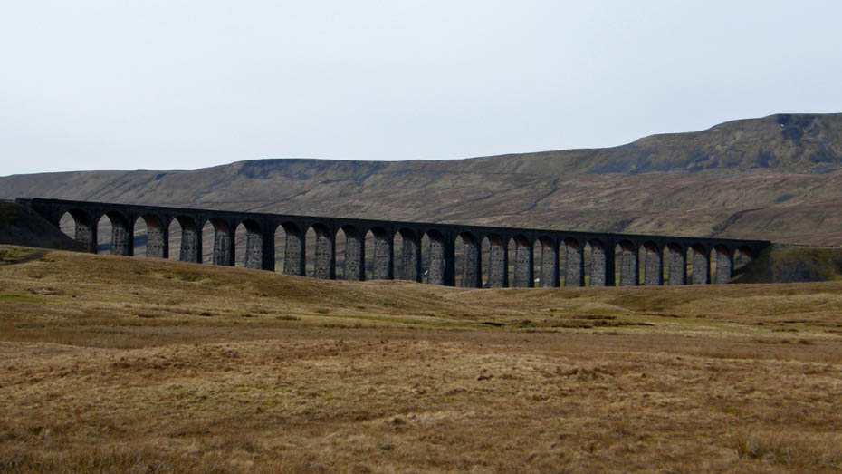
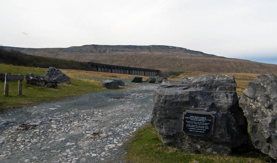
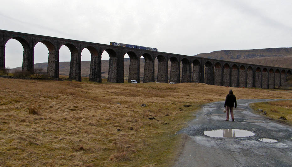
Suitably refreshed I made my way to the Ribblehead Viaduct.
The viaduct is Grade II listed and also a Scheduled Ancient Monument.
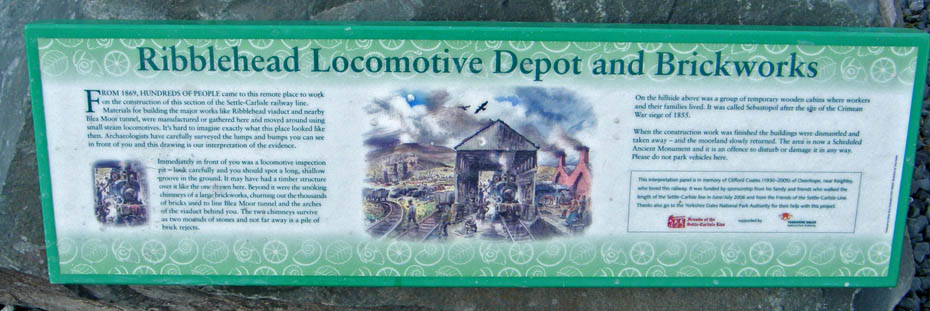
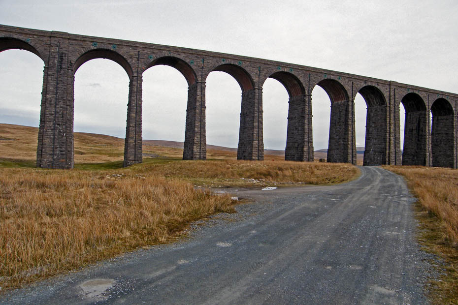
There are many viaducts along the length of the Settle to Carlisle railway but Ribblehead is the longest and most well known. It is 104' high with a span of 440 yards. The first stone was laid on the 12th October 1870 and the last in 1874.
Around 2,000 navvies building the viaduct lived in shanty towns on the nearby moors. These towns were named after victories in the Crimean War or sarcastically after posh areas of London and some biblical names.....Sebastapol, Salt Lake, Jerusalem, Batty Green, Belgravia, Inkerman, Jericho and Blea Moor.
They, and their families suffered hazardous and unhealthy conditions. There were deaths from industrial accidents and smallpox epidemics which led to the graveyard at Chapel-le-Dale having to be extended.
Next Walk: 26th March 2010 - Local - Sunderland Point & Sambo's Grave
Last Walk: 21st March 2010 - Yorkshire Dales - Flintergill and the "Occy Road" from Dent
Do you have a Facebook or Twitter account. We post regular updates on both. Just click on either of the links below.
![]()

We hope you have enjoyed viewing this walk. If you have any comments please sign our Guestbook or E_Mail us.
