| Area: | Lake District | Ascent: | 590feet |
| Walk No: | 376 | Time: | 2hours 15minutes |
| Date: | 11th April 2010 | Parking: | Gummer's How car park (free) |
| Distance: | 4.25miles | Weather: | Fine with some sun but very hazy |
| Route: |
For those of you that are thinking of going onto the hills I would strongly recommend that you read the advice given by the Mountain Rescue organisation of England and Wales. To read this advice, which will open in a new page please click HERE. If you would like to make a donation to the Mountain Rescue organisation which is purely voluntary please click HERE. Please make the time to read the advice page.
We set off fairly early for this walk thinking that the parking at Gummer's How might be a bit crowded. In the event there were plenty of spaces and a later start would have got us better views as it was quite hazy early on. It had been my intention also to go up Gummer's How on our return from Cartmel Fell but my dicky right knee was playing up after 8 walks in 11 days so we settled on a stroll around Fell Foot Park which was very busy. Sadly the cafe there as not re-opened as yet.
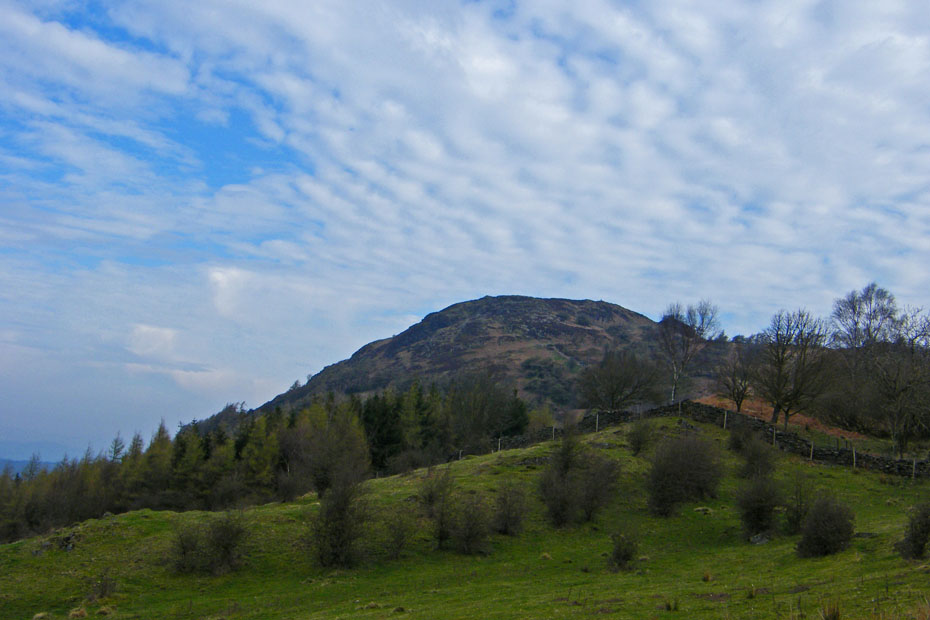
We left the car at the Gummer's How car park to walk up the road to Sow How Lane. It was my intention to go up Gummer's How on our return from Cartmell Fell but I started getting quite a bit of pain in my right knee so gave it a miss for another day.
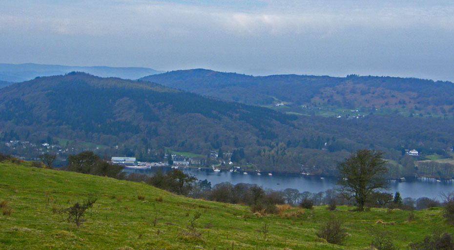
Looking down on Lakeside and Summer House Knott.
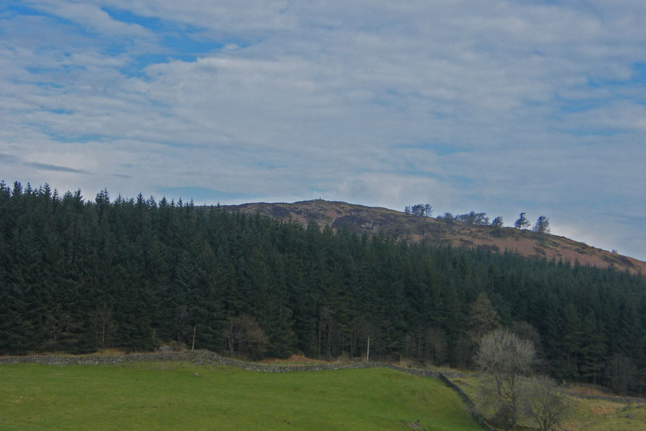
Looking back to Gummer's How as we walk down Sow How Lane.
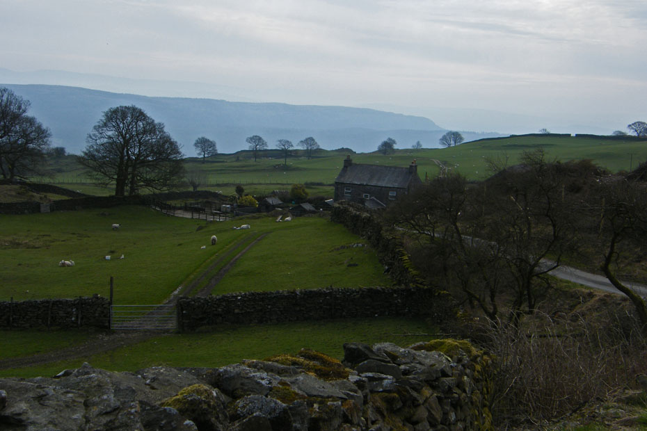
Approaching Sow How Farm with an hazy Whitbarrow behind.
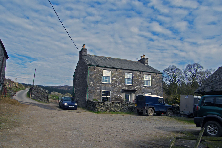
Walking through Sow How farmyard.
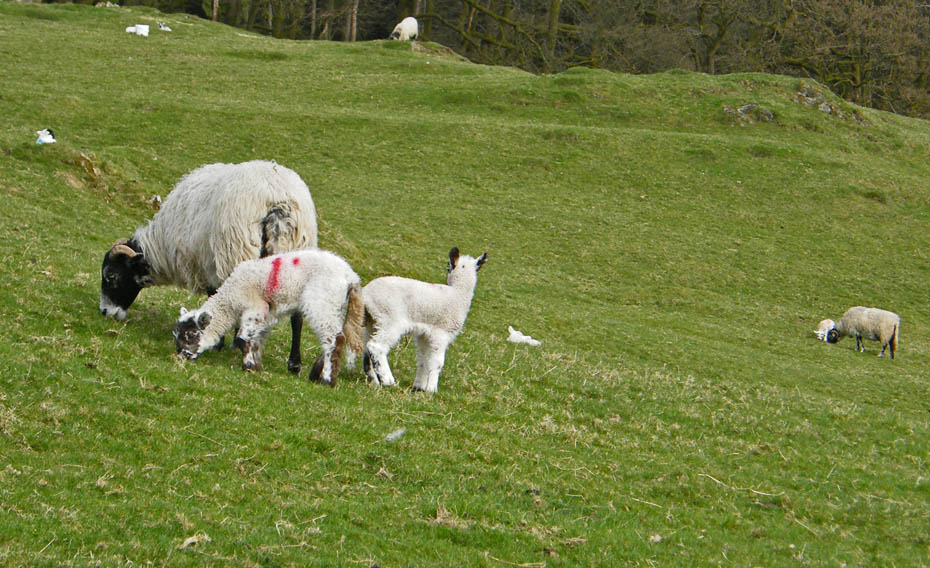
It's a busy time for the farmers now. The sheep are lambing 24 x 7
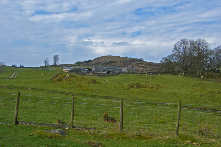
Just after leaving the farm take a path off to your left.
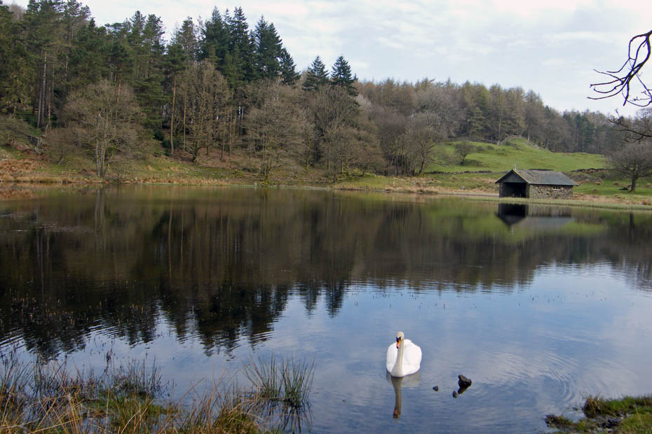
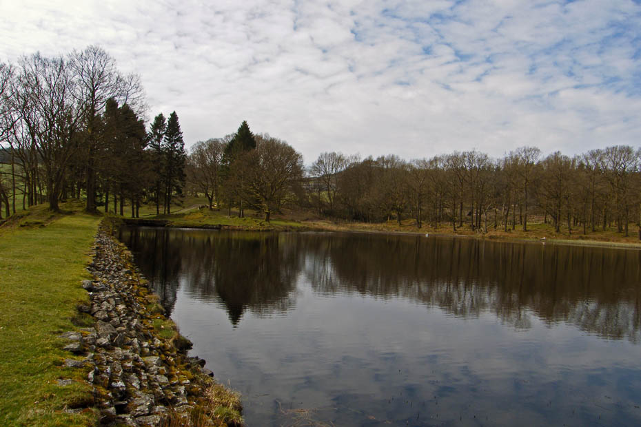
The path passes by the delightful Sow How Tarn.
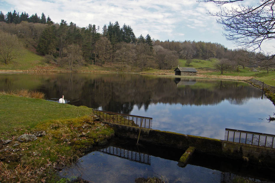
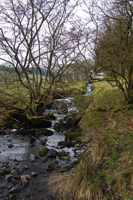
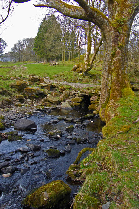
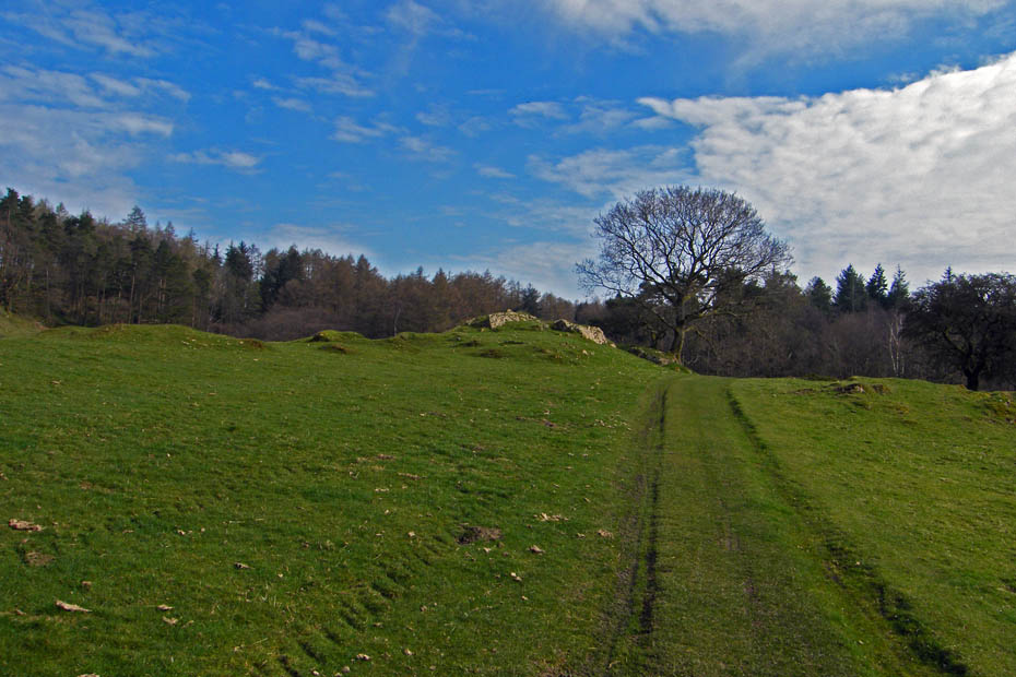
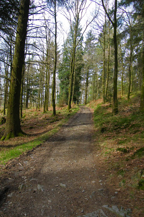
Leaving the tarn the path climbs easily towards Low Wood
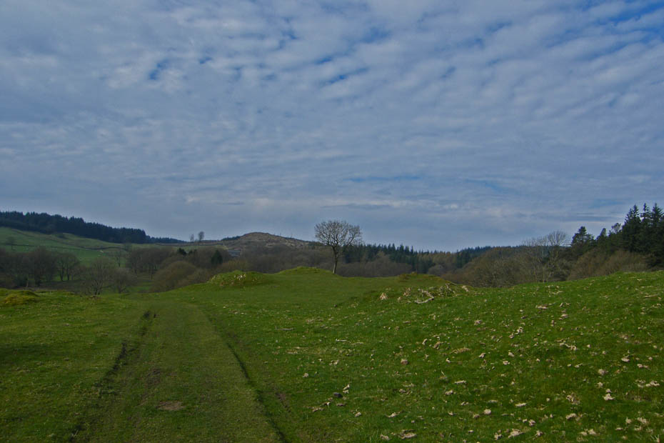
A look back.
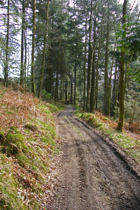
A short walk through the wood leads us down....
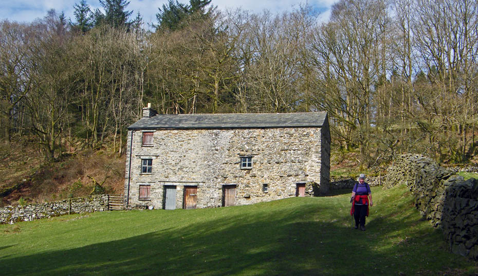
to Heights Cottage which must have been a wonderful place to live.
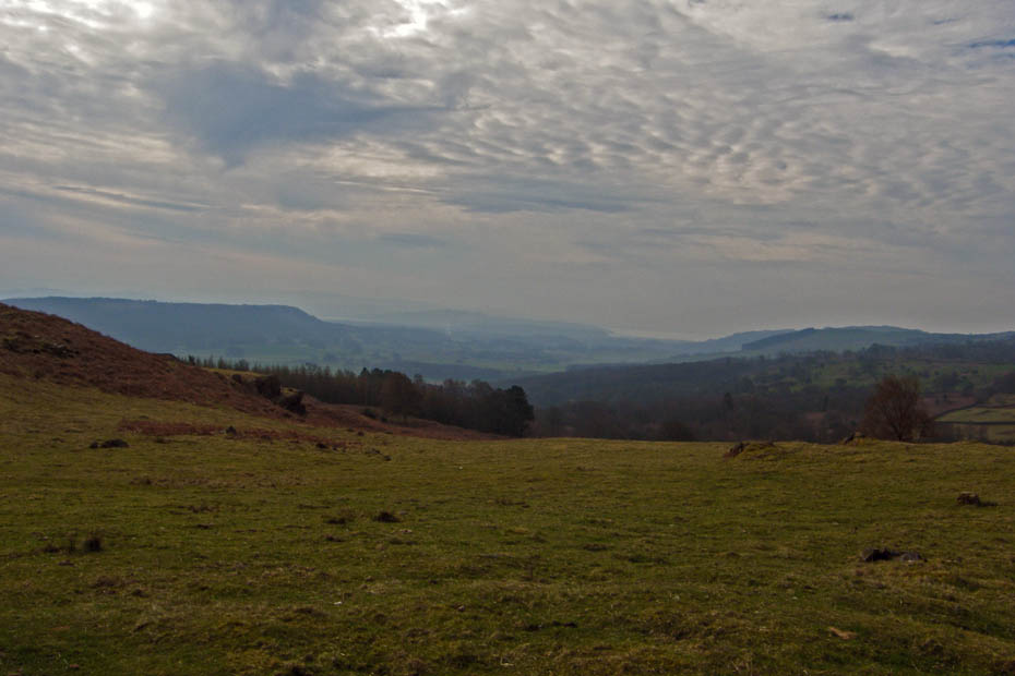
A gloomy look towards Whitbarrow.
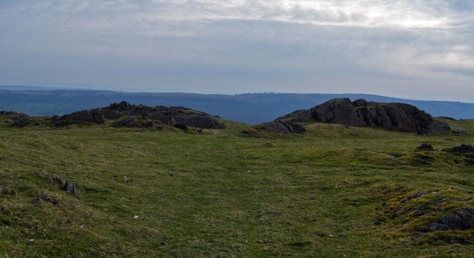
There wasn't much to see as we made our way towards the summit as it was very gloomy towards the east. Here we are approaching what is the highest part of Cartmel Fell the area is called Raven's Barrow. The monument marked on the OS map is out of view at this point as it lies below the summit just behind the outcrop on the left.
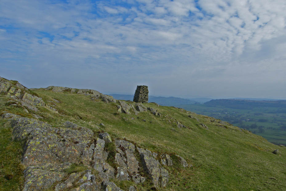
Cartmel Fell monument.
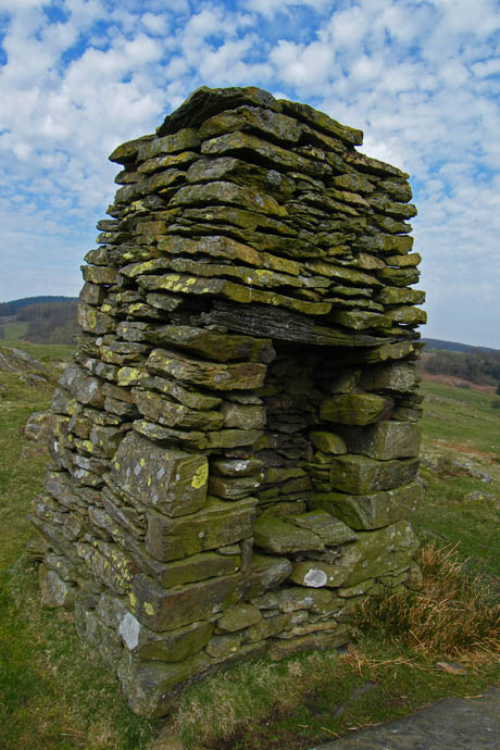
I have been unable to find any information on the fine cairn, complete with seat, if anybody as any info on it I would appreciate an e_mail.
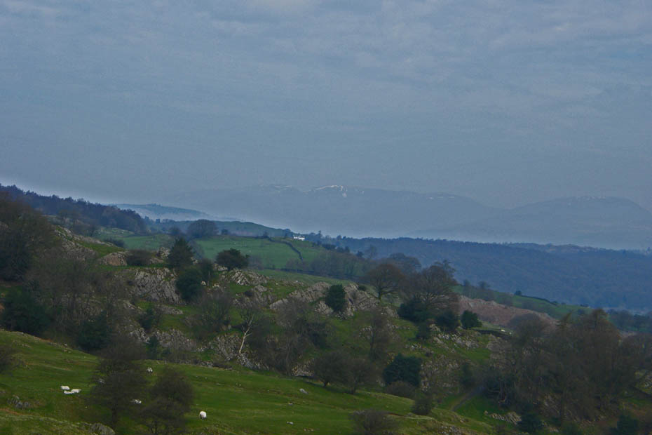
Views were very poor, here to the Fairfield Fells.
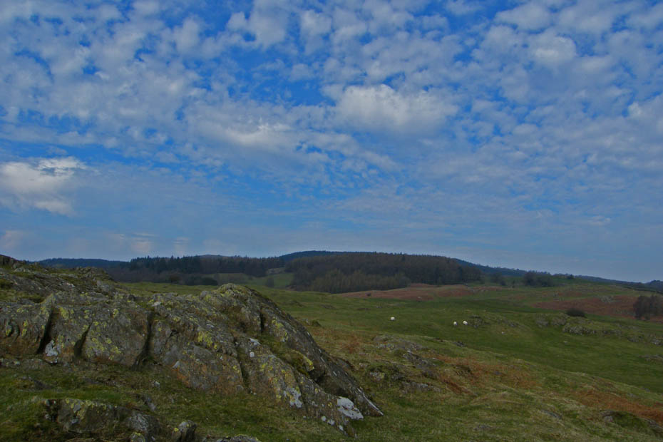
After a short break we made our way back.
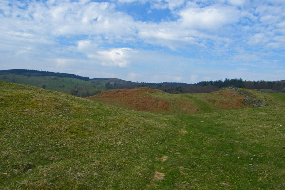
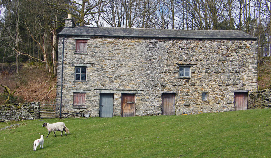
We were soon back at Heights Cottage....
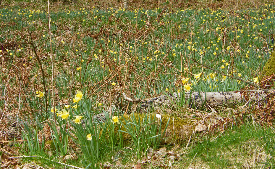
where I had a walk into the woods....
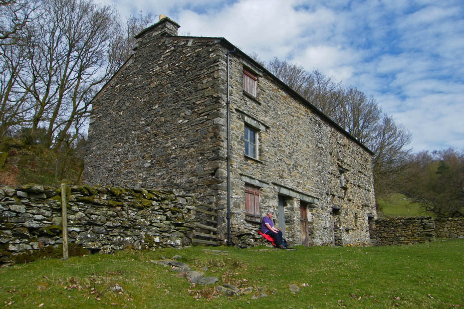
....while Edith had a break.
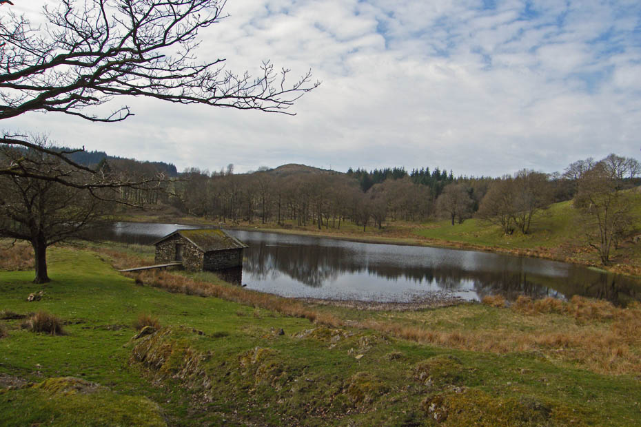
Back at Sow How tarn
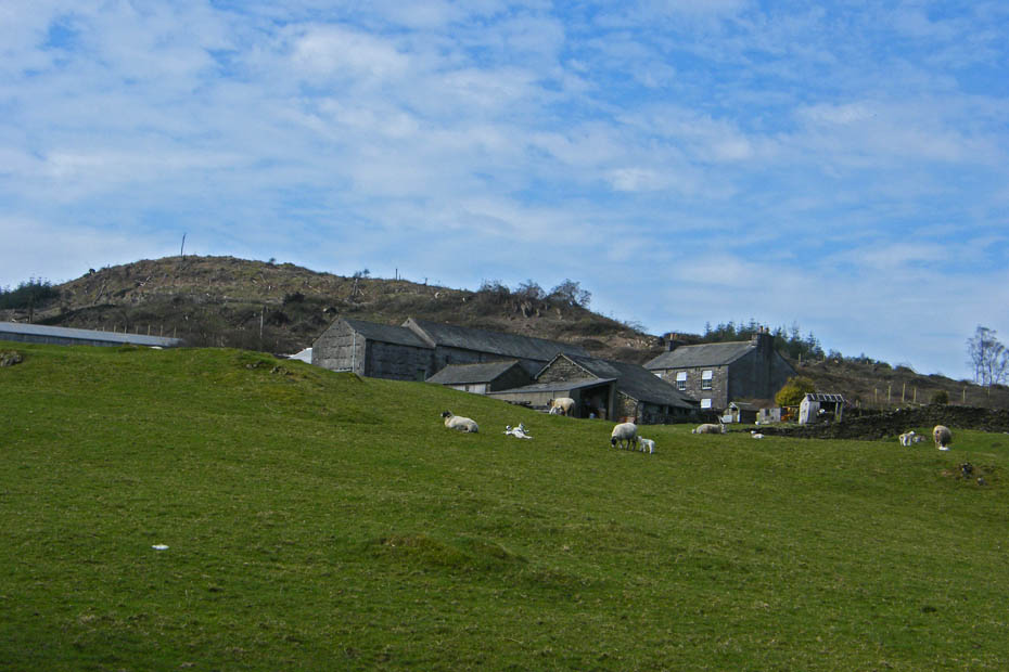
Almost back at the farm
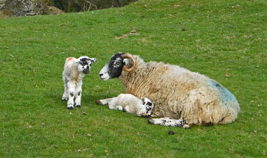
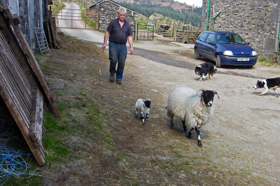
The farmer is moving this sheep and her lambs from the walled field were they were born out onto more open land.
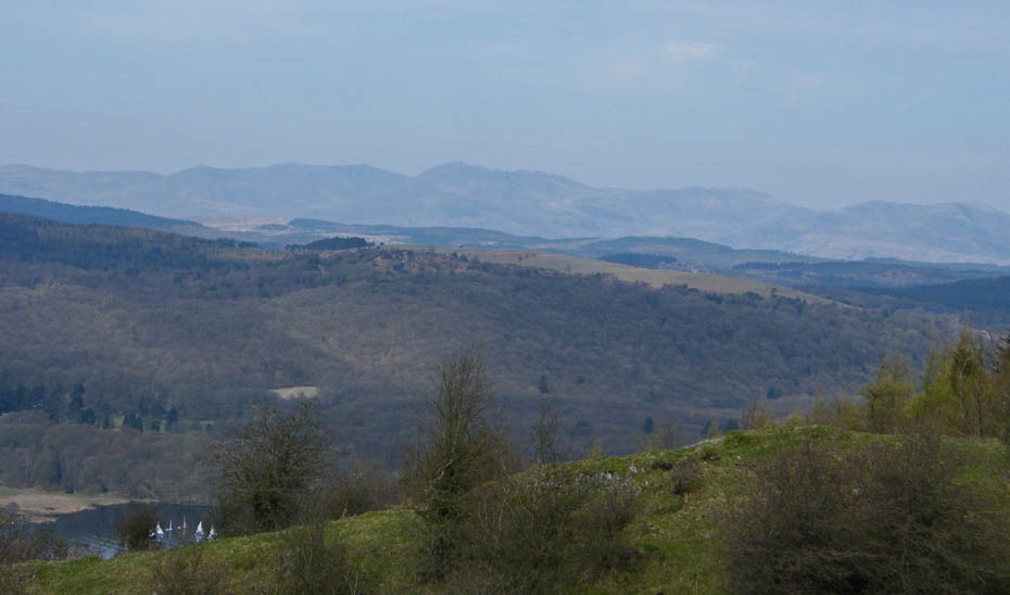
Sod's Law comes into play.....as we return to Gummer's How the haze starts to clear.
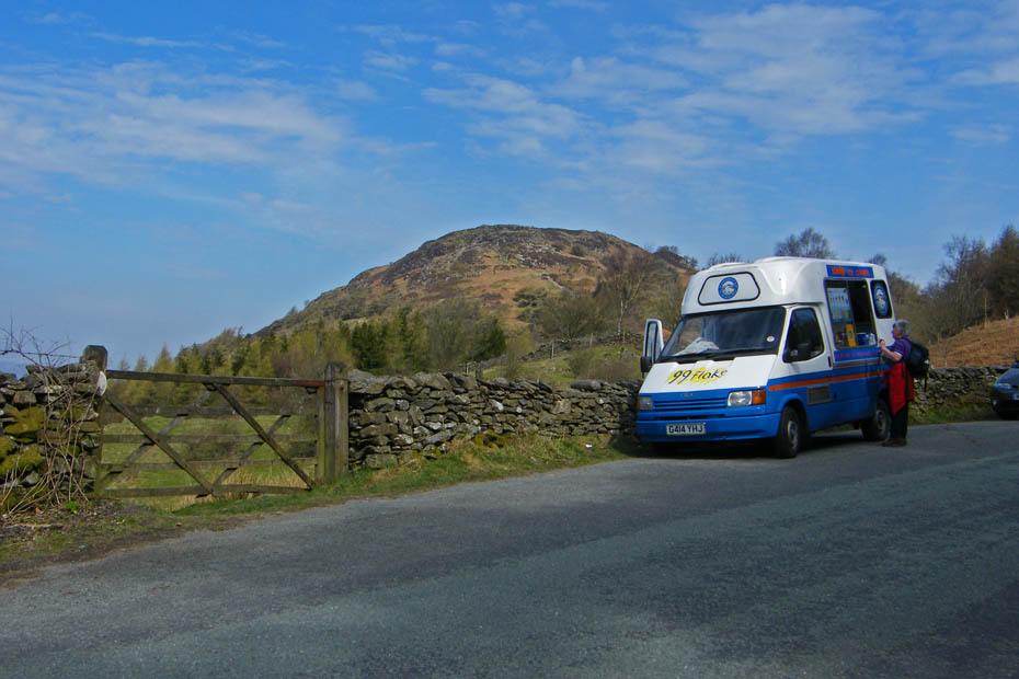
There were however some compensations. After partaking we drove down to the NT's Fell Foot Park.
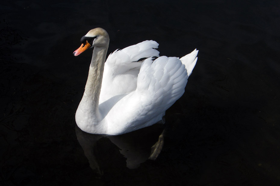
We walked down to the waterside where the River Leven leaves Windermere where this swan swam across under the bank. I was rather pleased at how this one came out.
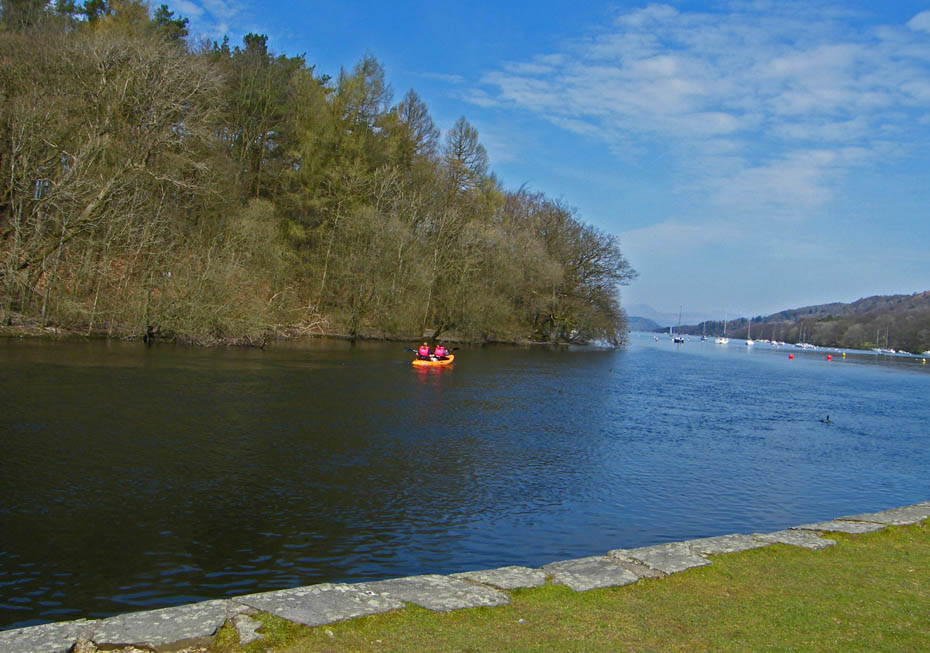
We walked up towards the cafe.
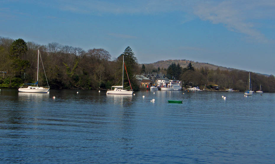
The cafe was however still closed, I assume from the Nov '09 floods. A great pity as the place was full of people.
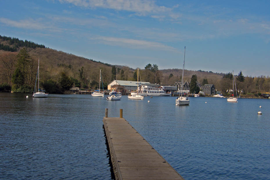
Looking over to Lakeside.
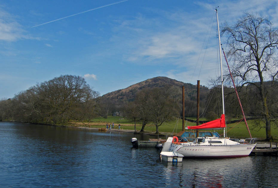
And finally.....my favourite view of Gummer's How
Next Walk: 12th April 2010 - Lake District - High Dam
Last Walk: 10th April 2010 - Lake District - A family walk/picnic on Cunswick Fell
Do you have a Facebook or Twitter account. We post regular updates on both. Just click on either of the links below.
We hope you have enjoyed viewing this walk. If you have any comments please sign our Guestbook or E_Mail us.