
| Area: | Lake District | Ascent: | 865feet |
| Walk No: | 386 | Time: | 2hours 45minutes |
| Date: | 27th April 2010 | Parking: | Roadside near Wray Castle |
| Distance: | 4.50miles | Weather: | Cloudy and dull |
| Route: |
For those of you that are thinking of going onto the hills I would strongly recommend that you read the advice given by the Mountain Rescue organisation of England and Wales. To read this advice, which will open in a new page please click HERE. If you would like to make a donation to the Mountain Rescue organisation which is purely voluntary please click HERE. Please make the time to read the advice page.
When I looked out of the window this morning I was thinking "what a cracking day", it was nearly all blue sky and sun. We soon had the car loaded and on our way but the euphoric feeling was soon dented when I looked across the bay at Morecambe to see that South Lakeland seemed to be covered in cloud some it down over the tops. Anyway we made our way northwards in the hope that it would break up as the day warmed. We parked near Wray Castle and made our way down to the shores of Windermere at Low Wray Bay which we followed to High Wray Bay before taking a path upwards to High Wray and the NT Basecamp. From there we took a permissive path to the summit of Latterbarrow. The cloud had lifted a little and broken but the views were restricted. A descent was made to the Wray - Colthouse road which we followed to High Tock How to pick up a path back to the car.
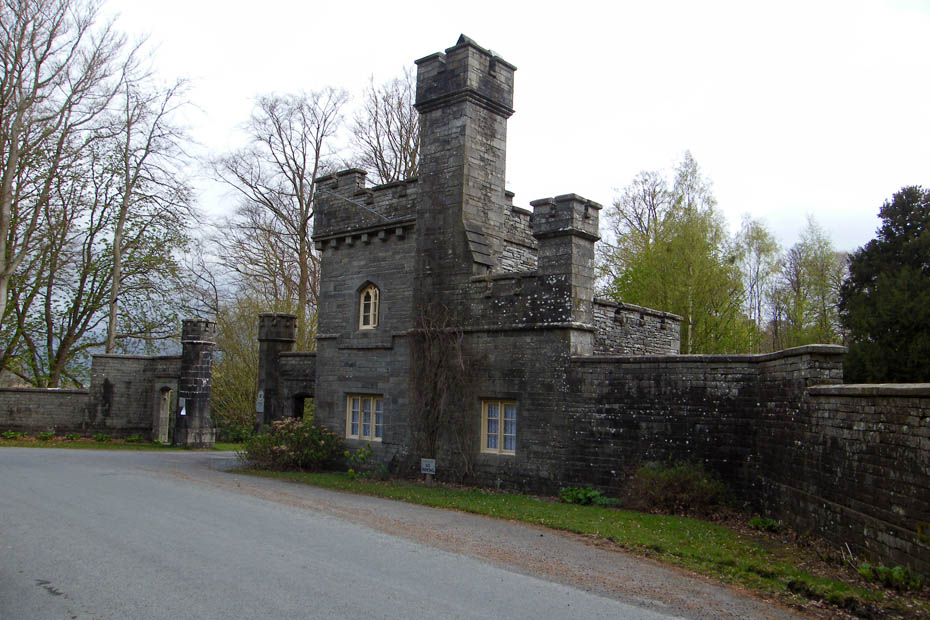
We left the car at the roadside near the gatehouse at Wray Castle
The first part of the walk would be downhill as we made our way to the shores of Windermere.
It wasn't the brightest of days but at least it was fine and the sun did make an appearance now and again.
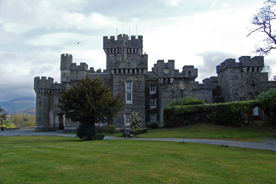
Wray Castle
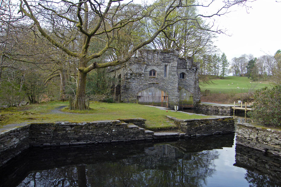
Eventually we ended up at the lakeside near the ferry stage and this wonderful old boathouse.

From Low Wray Bay we walked southwards towards High Wray Bay
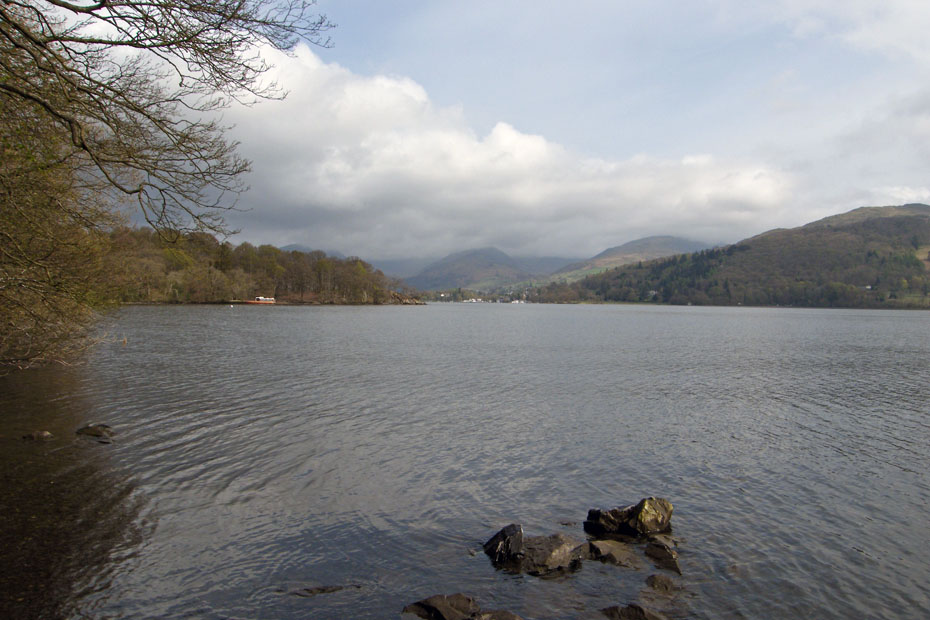
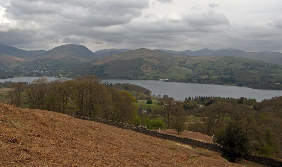
Taken from around Watbarrow Point and looking up Windermere.
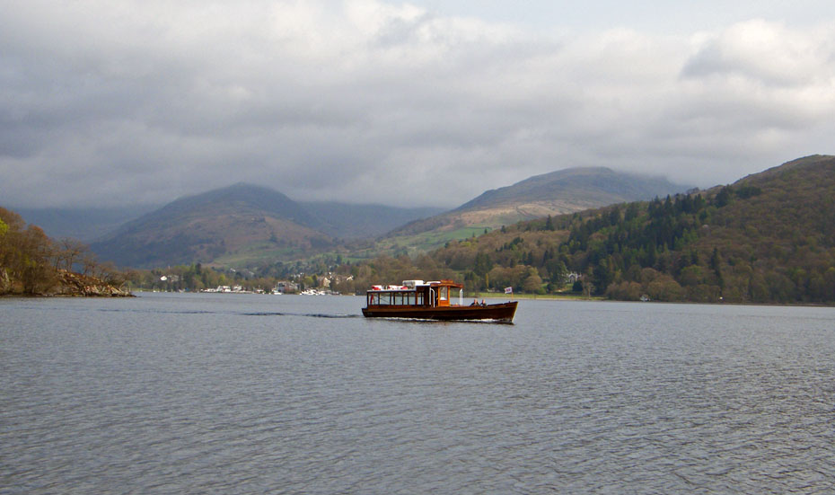
One of the ferries
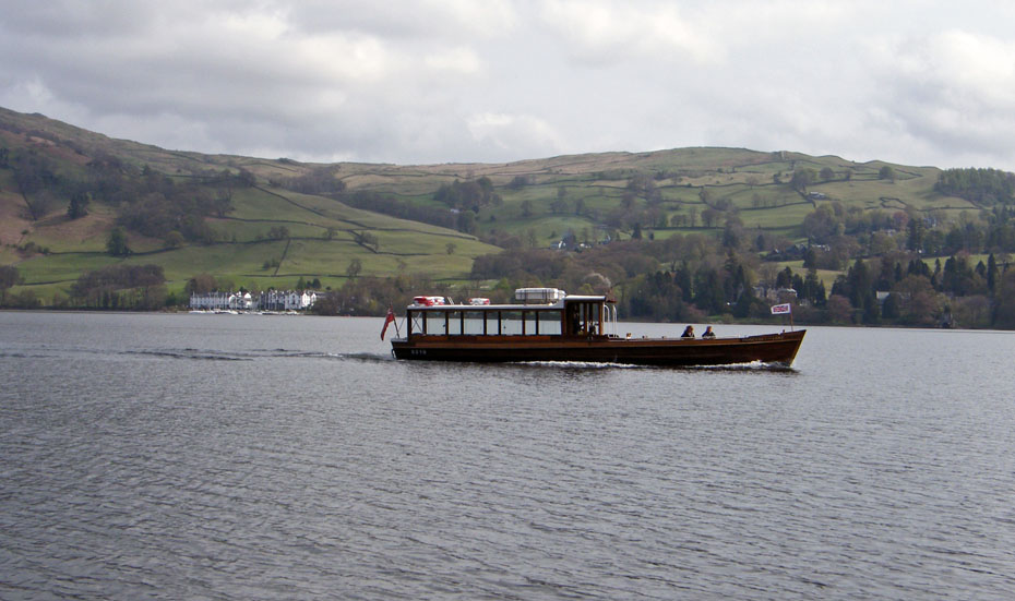
And again with the Low Wood Hotel behind.
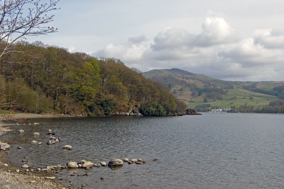
Watbarrow Point with Wansfell behind.
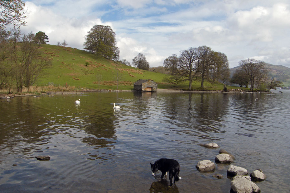
We are now at High Wray Bay looking across to Epley Point. The dog, whose name has slipped the memory belongs to a local lady who was enjoying her morning walk. From here we took a path up through the fields to High Wray.
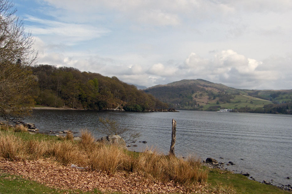
Plenty of reasons to stop as the views across Windermere started to open up again.
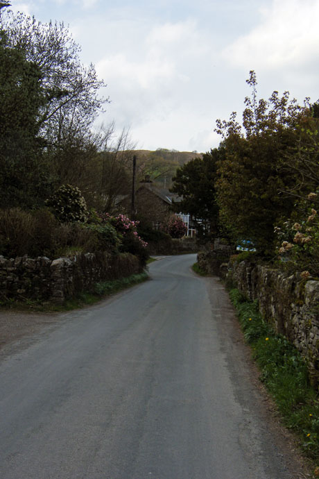
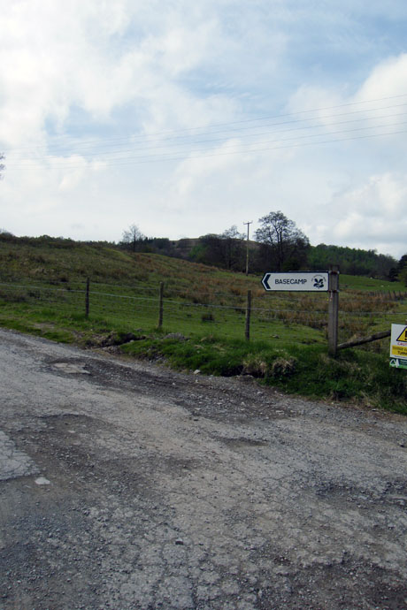
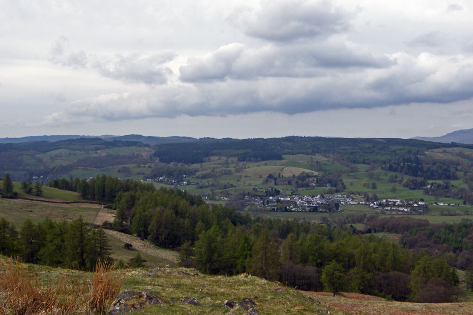
Eventually we reached the road at High Wray which we followed through the hamlet until we reached the track to the National Trust's Basecamp.
As we walked up the lane towards Basecamp the views opened more but were spoilt somewhat by the cloud.
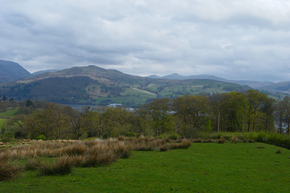
The Kentmere Fells peek out from behind Wansfell.
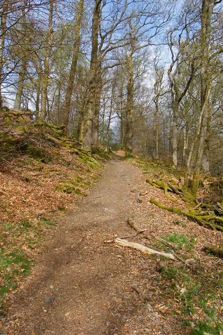
The permissive path from Basecamp to Latterbarrow initially passes through some woods shown here below then comes out onto the open fellside.
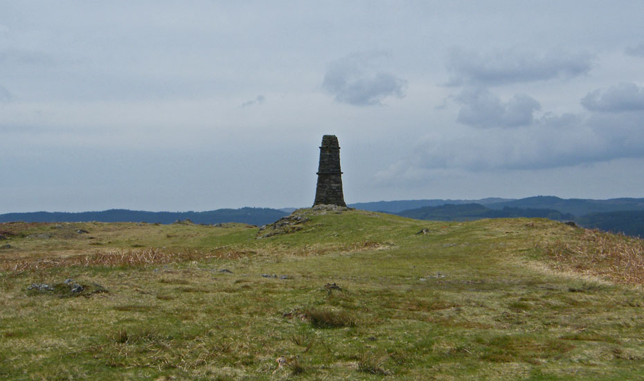
Get it right and you will be met by the magnificent obelisk that crowns the summit.
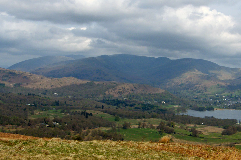
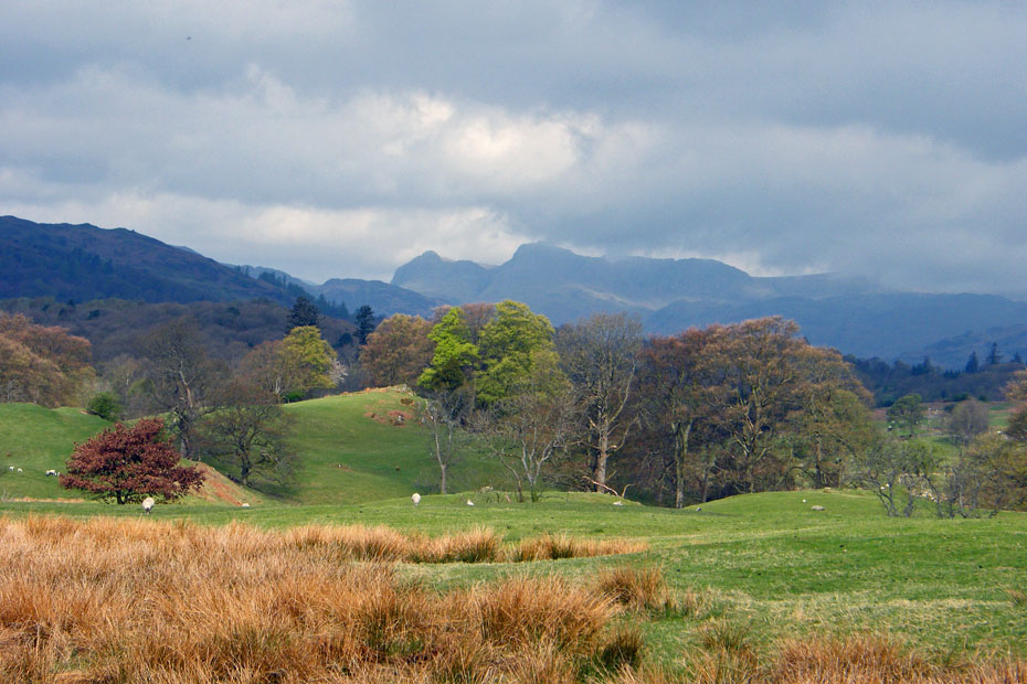
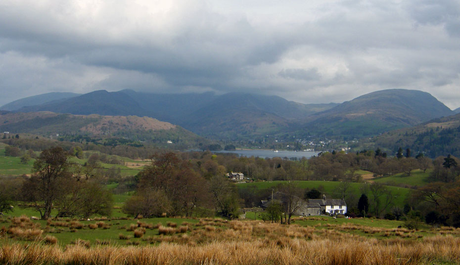
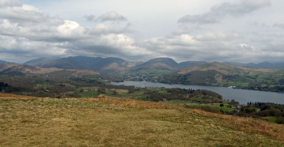
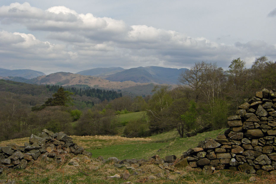
Cloudy but still beautiful views to the Fairfield and Helvellyn Fells.
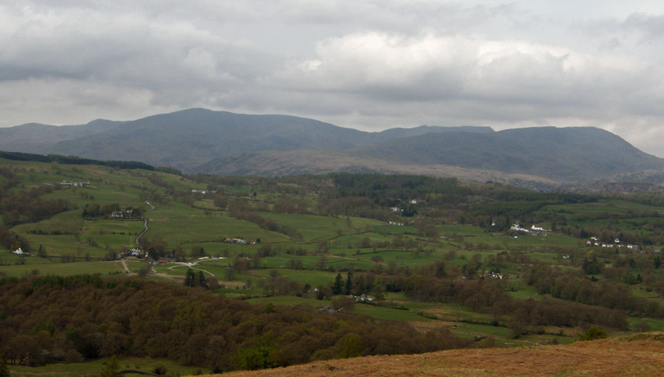
Murky Conistons.
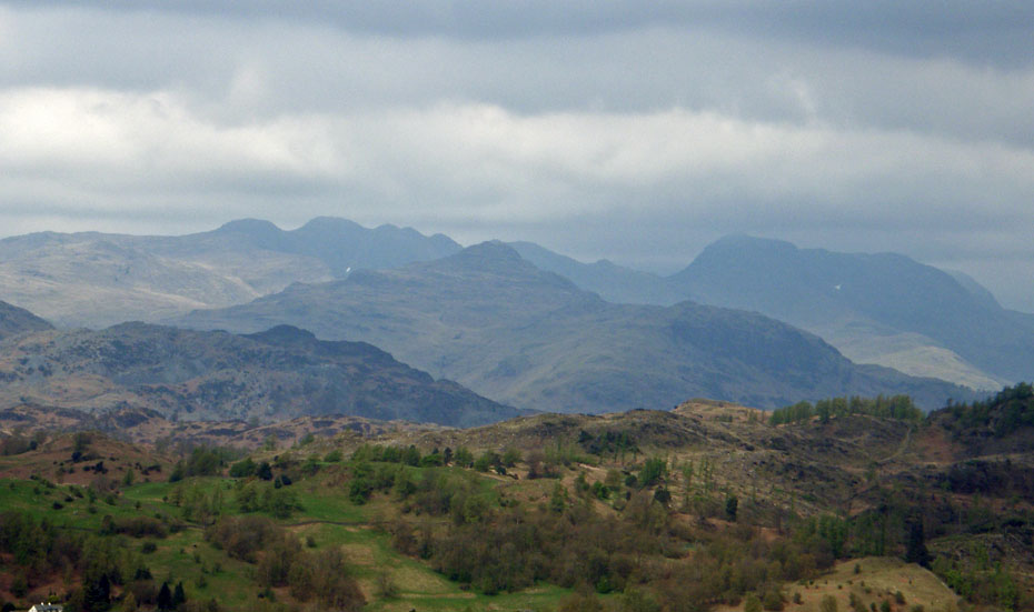
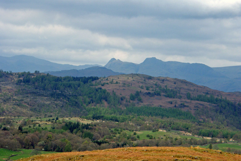
Towards the Langdales
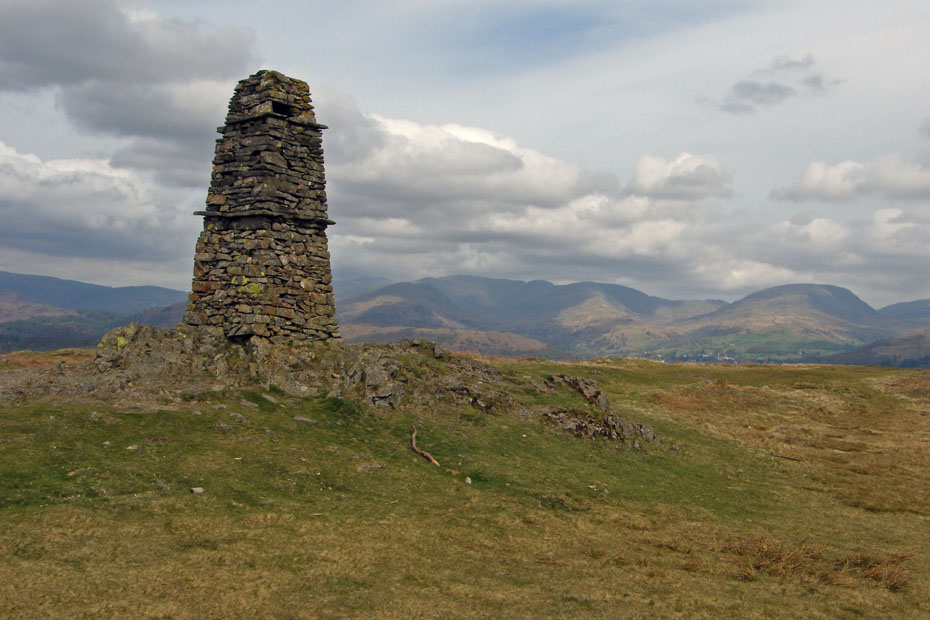
A magnificent obelisk for such a small summit.....
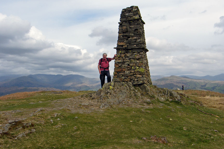
....and the addition of some wheezy old git doesn't particularly enhance it.
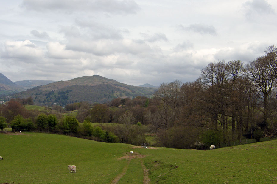
Time to descend to the Colthouse road.
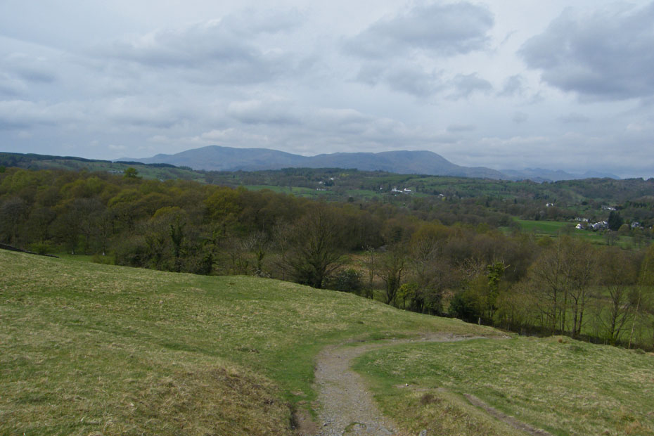
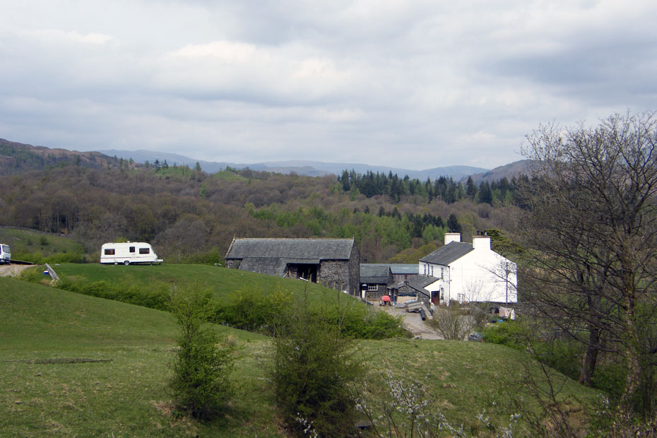
Passing High Tock How farm
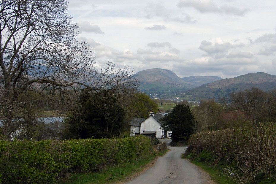
We walked down to Hole House to pick up a path back to the car.
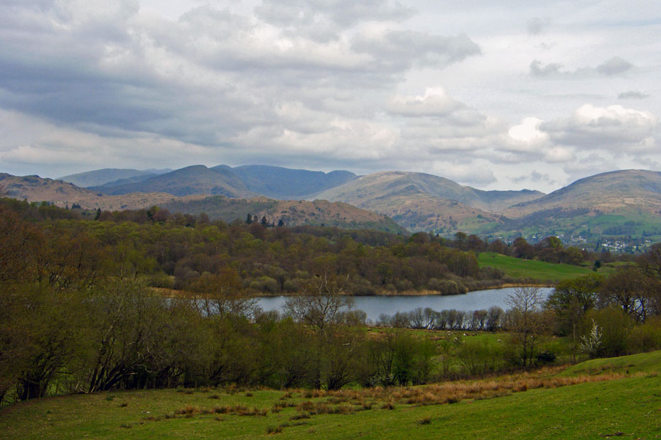
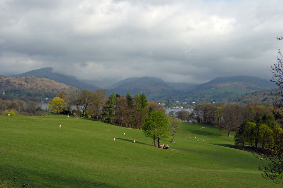
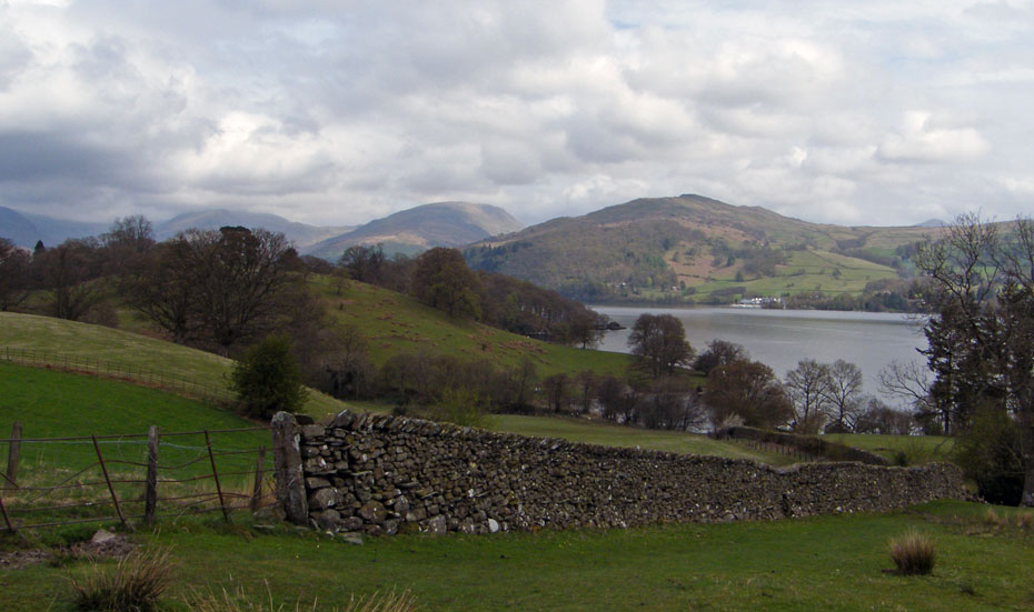
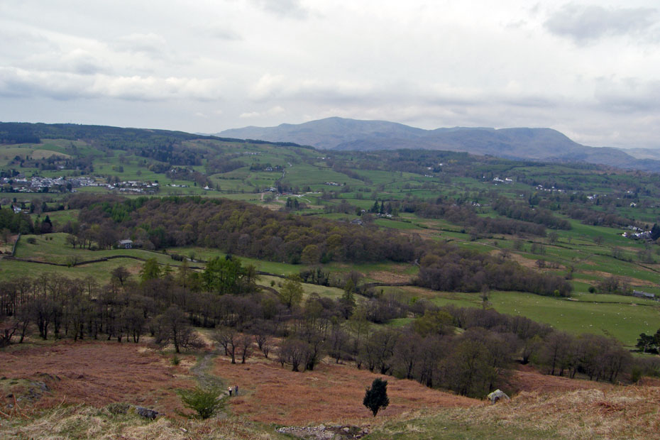
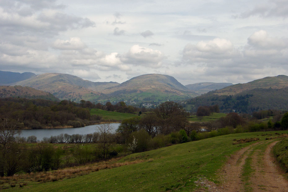
Looking down over Blelham Tarn towards the Fairfield Horseshoe.
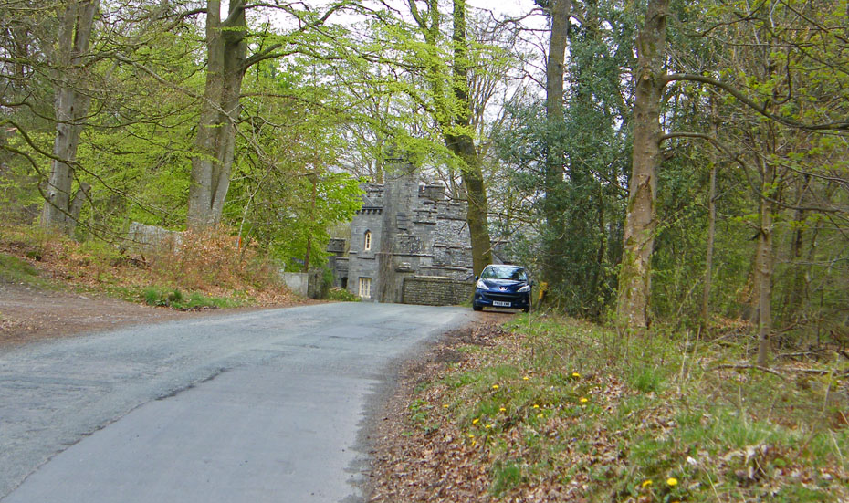
And finally....back to the car.
Next Walk: 30th April 2010 - Lake District - Sizergh Fell
Last Walk: 26th April 2010 - South Cumbria - Levens Park & Hall
Do you have a Facebook or Twitter account. We post regular updates on both. Just click on either of the links below.
![]()

We hope you have enjoyed viewing this walk. If you have any comments please sign our Guestbook or E_Mail us.
