
| Area: | Lake District | Ascent: | 1045feet |
| Walk No: | 393 | Time: | 3hours 45minutes |
| Date: | 21st May 2010 | Parking: | Roadside near Clappersgate |
| Distance: | 5.50miles | Weather: | Fine & Sunny. Very warm. |
| Route: |
For those of you that are thinking of going onto the hills I would strongly recommend that you read the advice given by the Mountain Rescue organisation of England and Wales. To read this advice, which will open in a new page please click HERE. If you would like to make a donation to the Mountain Rescue organisation which is purely voluntary please click HERE. Please make the time to read the advice page.
It was back to the Lakes to park up near Clappersgate for this walk over the southern end of Loughrigg Fell.
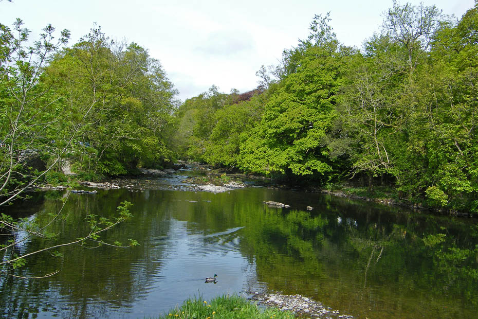
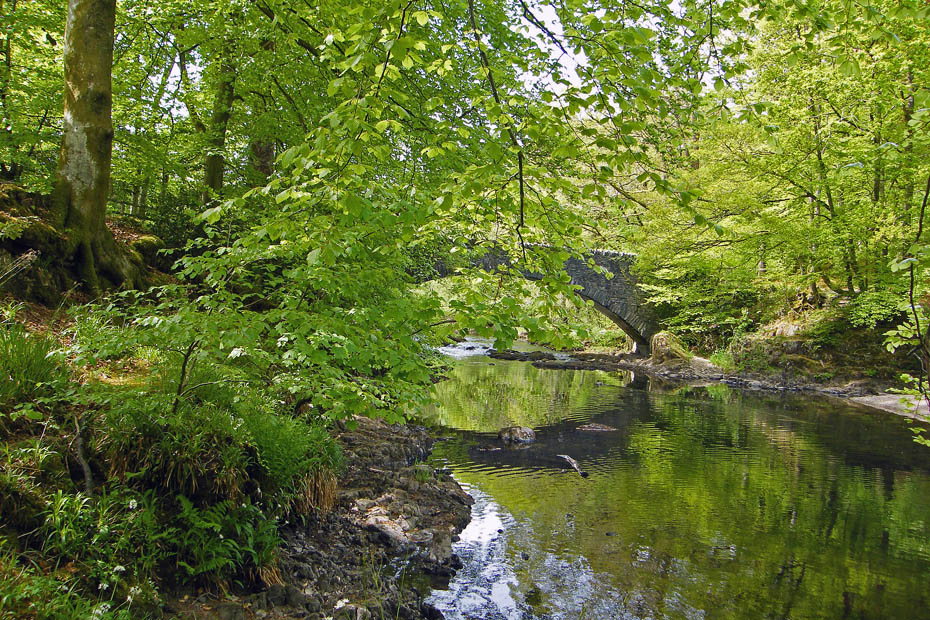
We left the car at the side of the River Brathay near Clappersgate.
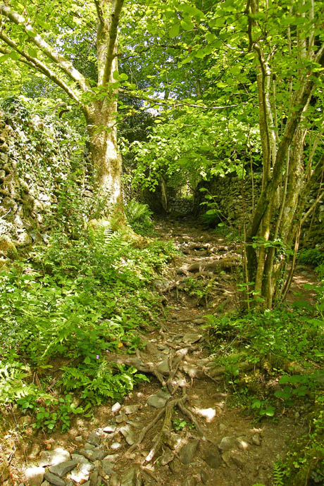
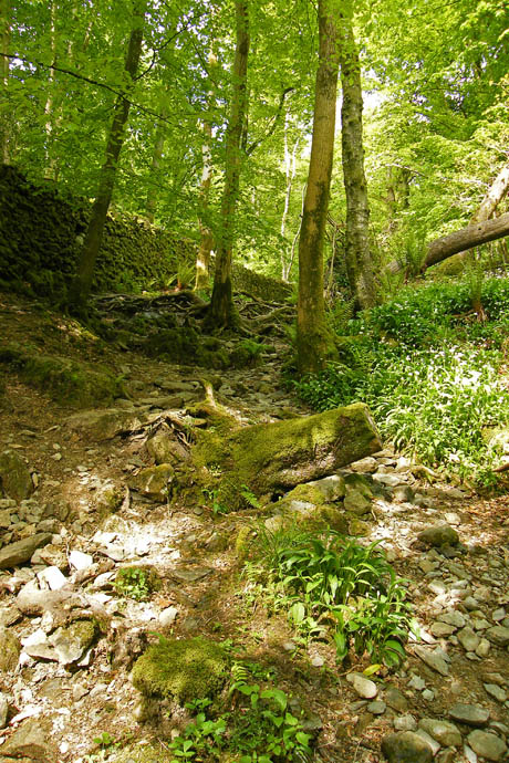
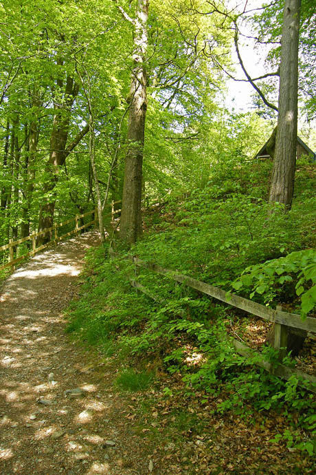
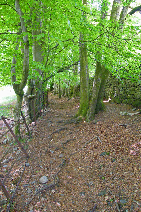
After walking back to Clappersgate we took the lane to the fellside. It is rather rough in places but at this time of year is lovely to walk up...
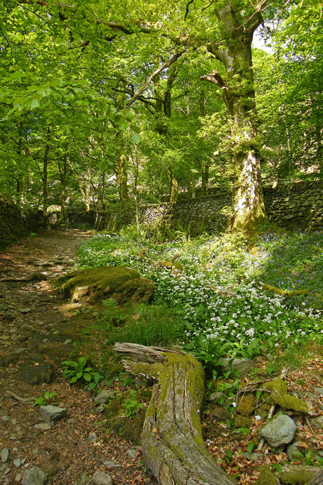
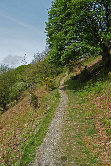
Wild Garlic a bluebells line the route a delight to the senses and all to soon the gateway to the open fellside is reached with the narrow path which zig-zags its way up.
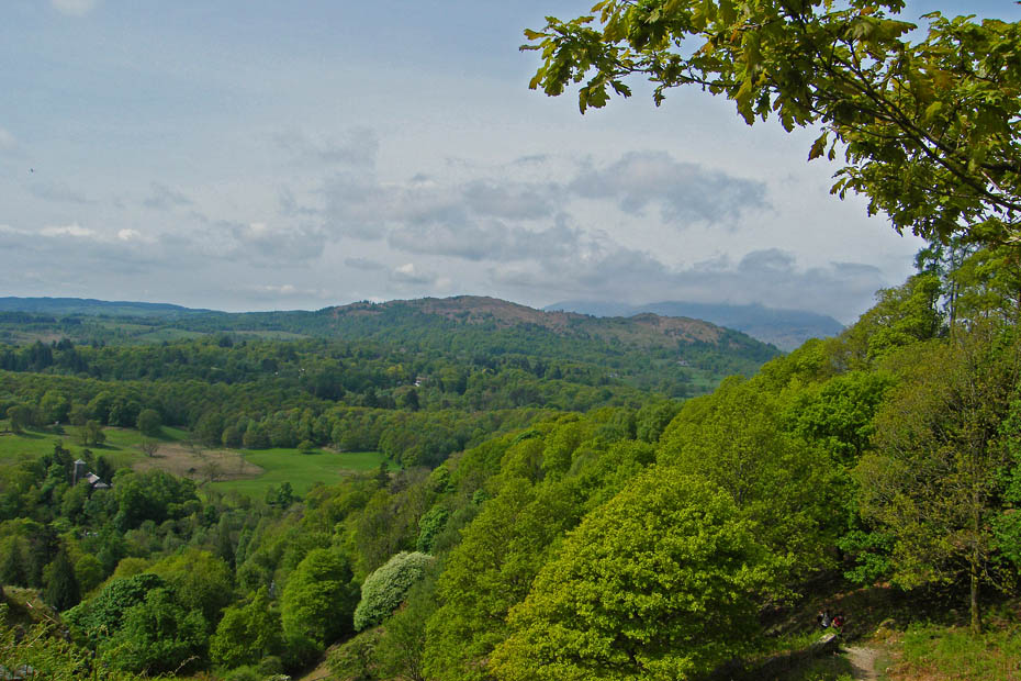
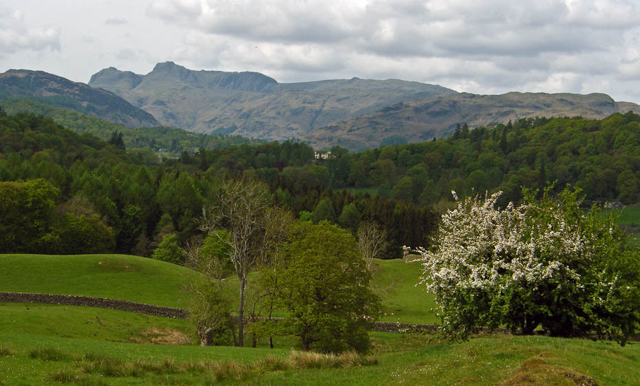
As we gained height Black Fell and Holme are seen with the cloudy Coniston range behind.
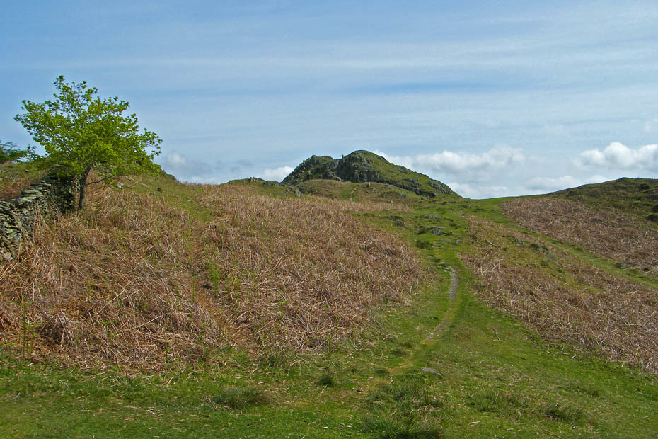
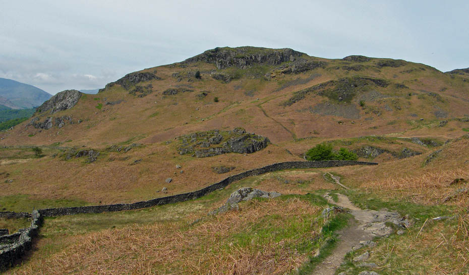
Almost at the top and a route decision. Do we carry on ahead as we normally do.....
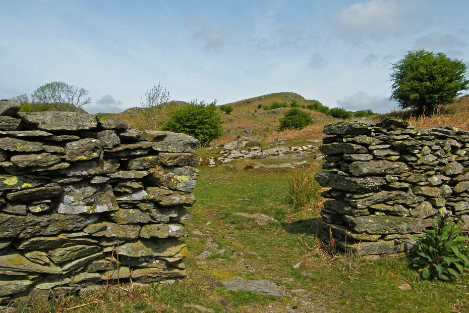
...or go through the wall towards Todd Crag.....Todd Crag was the choice.
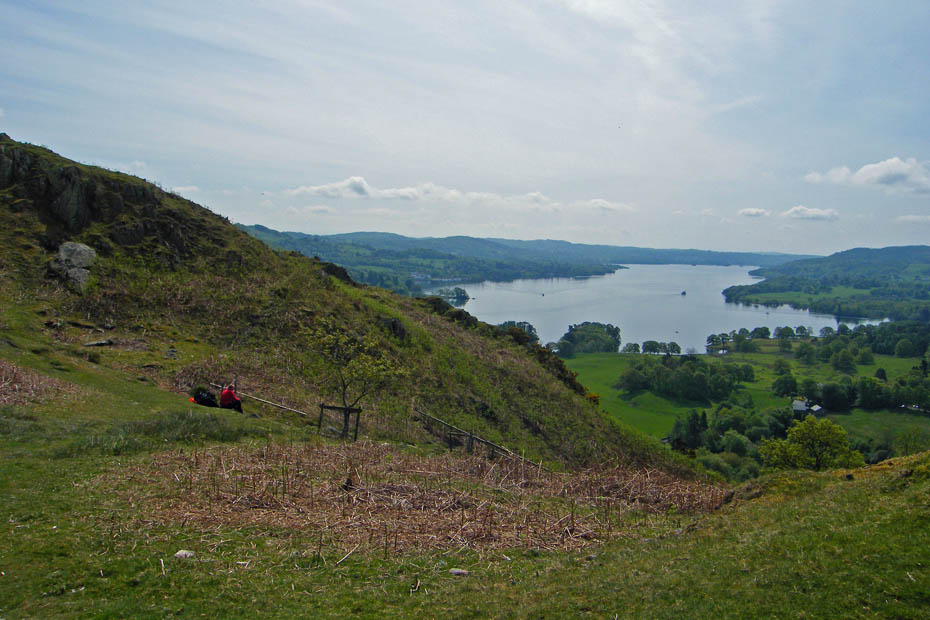
But first a look down Windermere into the sun.
On our way towards Todd Crag.
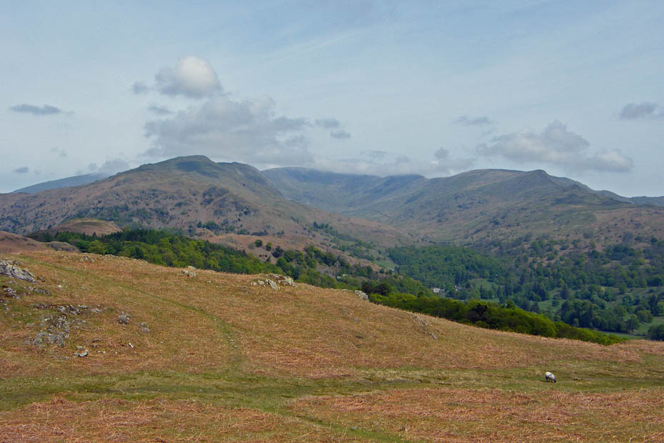
A view of the fabulous Fairfield Horseshoe. Anybody doing it today as a cracker but will need to be carrying plenty of water....it's warm now.
Red Screes
A short walk back to Lily Tarn with Wansfell behind.
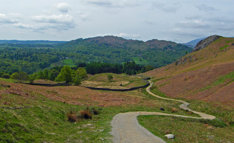
We are now walking to pick up the Ambleside to Tarn Foot bridleway with Ivy Crag and Loughrigg ahead.
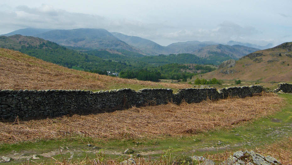
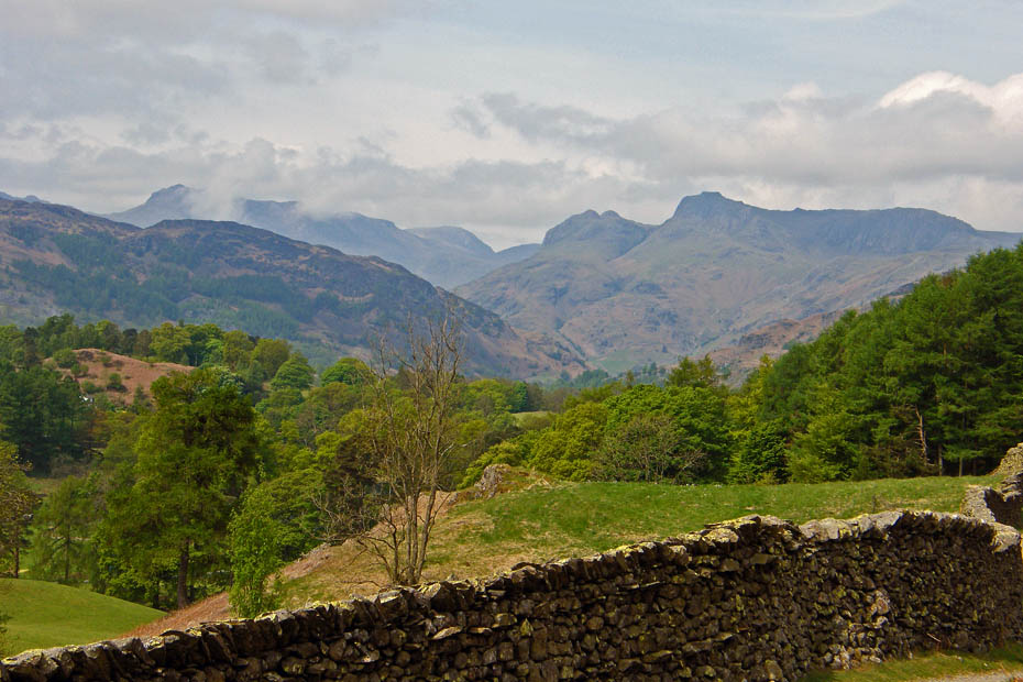
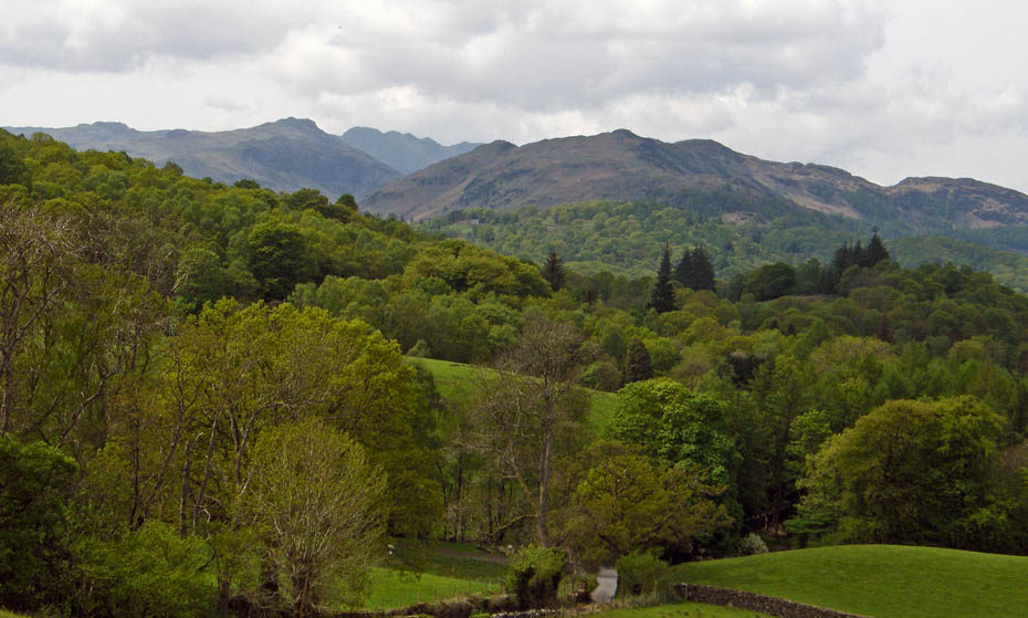
A view into Little Langdale with the Wrynose Pass in centre picture.
Fairfield Horseshoe
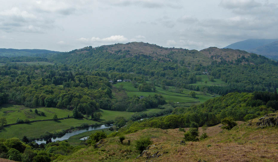
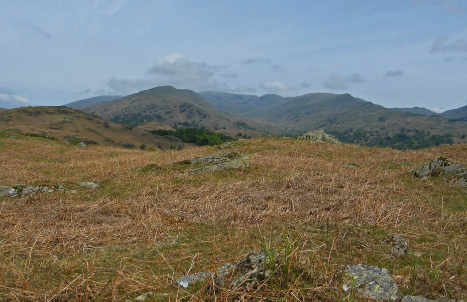
Black Fell and Holme Fell.
Ivy Crag ahead is we get nearer the bridleway.
Follow the soil inversion path down....This type of path does not suit everybodys eye but it is far better than a gradually widening track as people avoided bad sections. I'm afraid it is just part and parcel of the popularity of hillwalking and long may such projects as the Fix the Fells one continue.
Wetherlam ahead as we make our way down
Oh My!!!.....you know your going to see it but when it appears it still takes the breath away after more years than I care to remember. We continued down to take the path to Loughrigg Tarn.
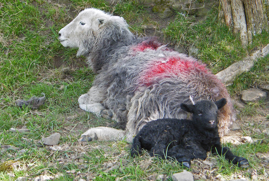
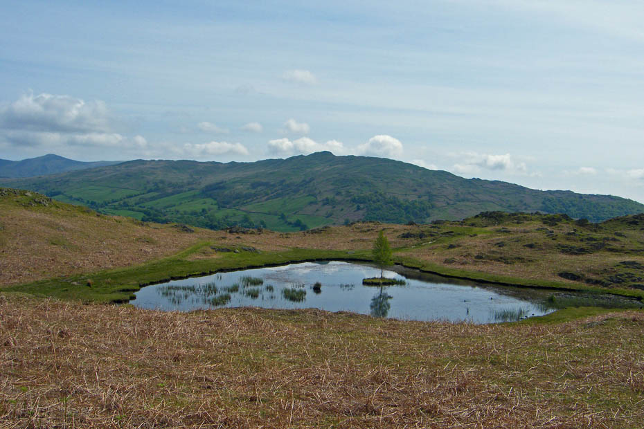
Lots of these little chappies about now.
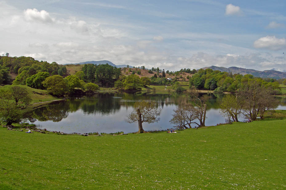
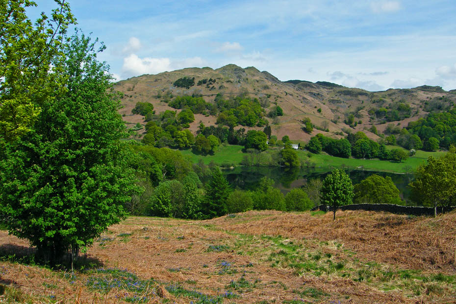
A peaceful Loughrigg Tarn
Popular with anglers.
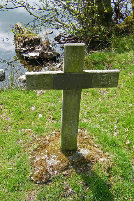
The Memorial Cross to a young 14yr old boy who drowned here almost 50 years ago.
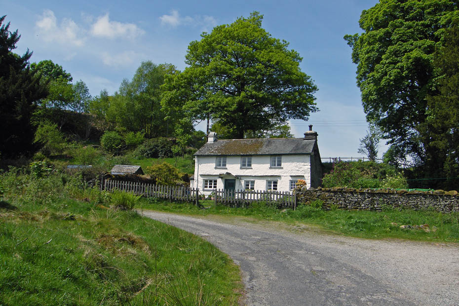
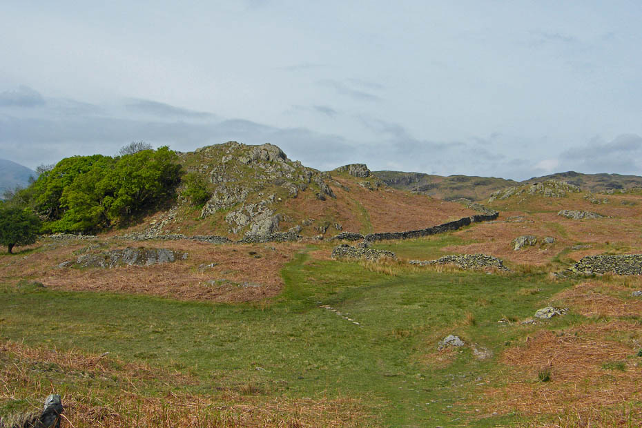
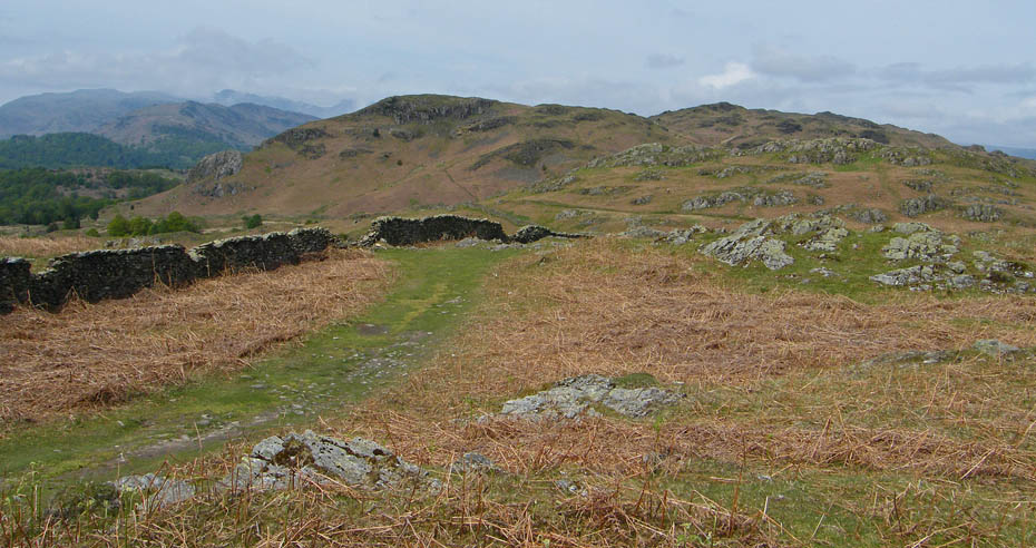
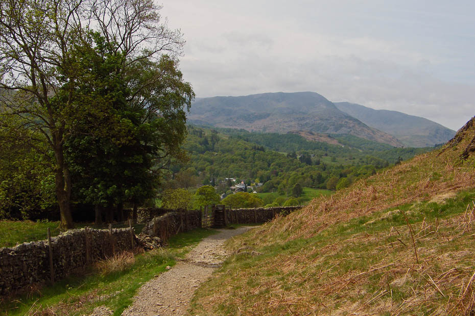
From the tarn we made our way to Loughrigg Fold and Crag Head before descending through the Neaum Crag complex to Skelwith Bridge.
Loughrigg from Crag Head
Making our way down to Skelwith Bridge.
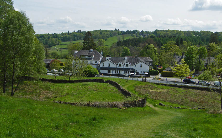
Approaching Skelwith Bridge....We were so hot my now that I forgot past experiences and decided to visit Chesters for a drink and a bite to eat.
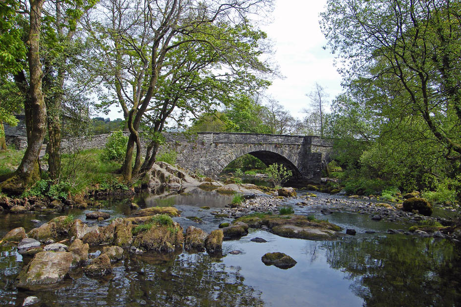
Skelwith Bridge where I had to sit awhile after getting the bill at Chesters.......baked beans for dinner this week!!!
From Skelwith Bridge we walked up to Skelwith Fold
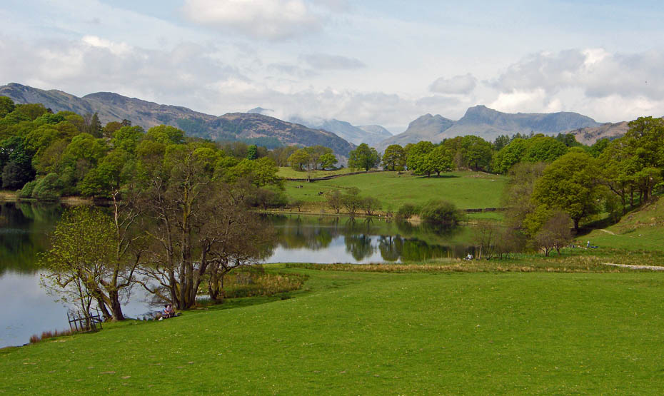
The Langdale Pikes
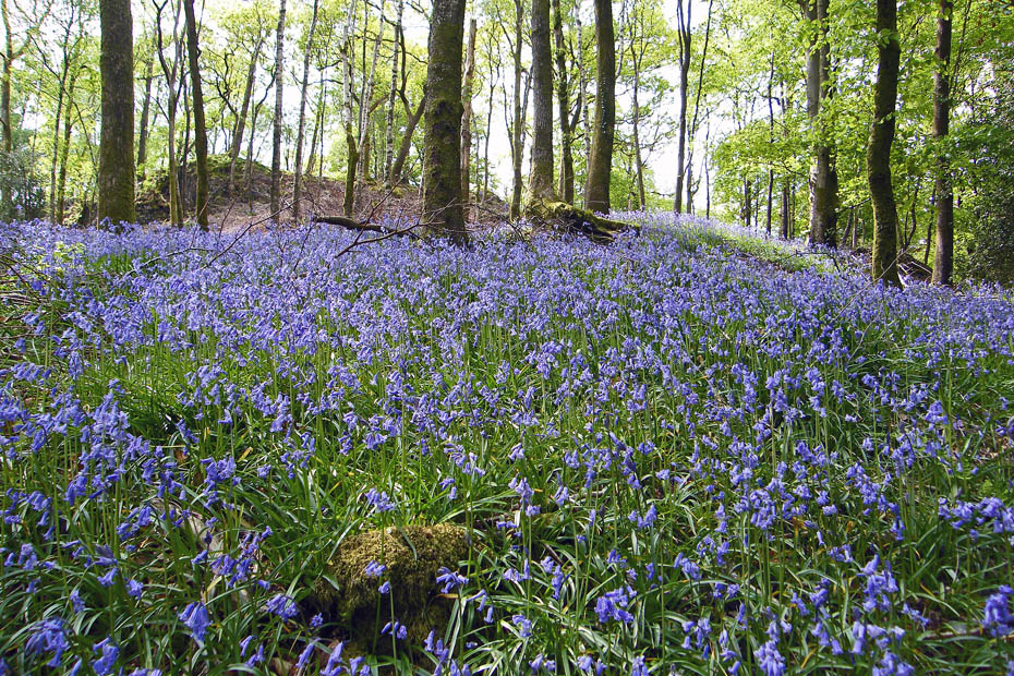
Bluebells in the woods as we walked back along Bog Lane
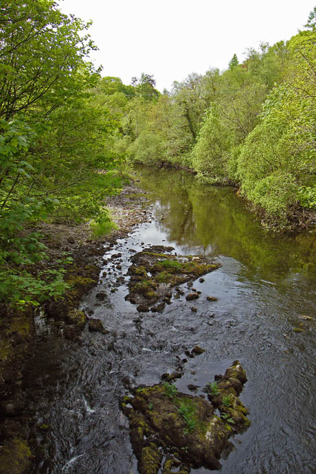
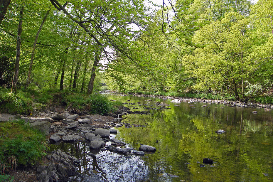
A very dry looking River Brathay.....despite the floods of last November Cumbria desperately needs some rain......Please let's have it at night and not too heavy!!!
And finally....almost back to the car.
Next Walk: 23rd May 2010 - Lake District - Black Fell and Tarn Hows
Last Walk: 18th May 2010 - South Cumbria - Dallam Park & Haverbrack from Beetham
Do you have a Facebook or Twitter account. We post regular updates on both. Just click on either of the links below.
![]()

We hope you have enjoyed viewing this walk. If you have any comments please sign our Guestbook or E_Mail us.
