
| Area: | South Cumbria | Ascent: | 400feet + 200feet |
| Walk No: | 400 | Time: | 1hour 15minutes + 1hour |
| Date: | 2nd June 2010 | Parking: | A65 (SD527890) & Top of Underbarrow road |
| Distance: | 2.5mls + 2.25mls | Weather: | Fine & Sunny |
| Route: |
For those of you that are thinking of going onto the hills I would strongly recommend that you read the advice given by the Mountain Rescue organisation of England and Wales. To read this advice, which will open in a new page please click HERE. If you would like to make a donation to the Mountain Rescue organisation which is purely voluntary please click HERE. Please make the time to read the advice page.
These two short walks will live in my memory forever but not for the walking. This was a day of tragedy for West Cumbria, a day when 12 people were shot dead and many others injured before the gunman turned the gun on himself. I was late away from home as it was a very foggy morning and as I drove up the M6 the tragedy which started in Whitehaven was unfolding. The presenter on Radio Cumbria was advising people on the west coast to stay indoors as the police tried to catch the gunman. At this point I had no idea how serious it was to become. I had a short meeting near Kendal to attend so I had planned the first walk which was a short walk along The Helm near Oxenholme & Natland. After the meeting I decided to drive home via the Lyth Valley and as I drove up the Underbarrow Road it seemed less hazy so I parked up for a short stroll along Scout Scar.
The Helm
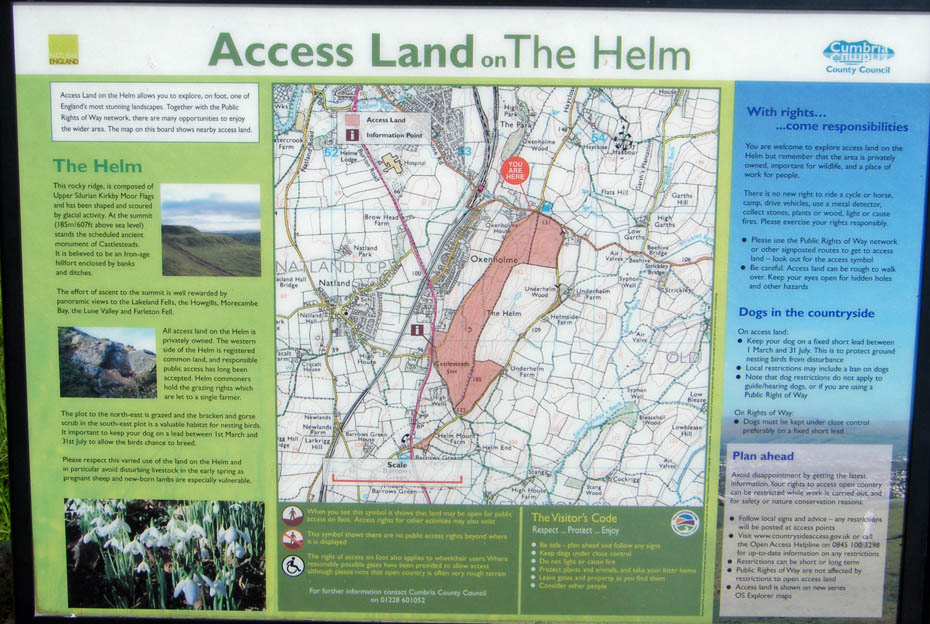
This is the information board from the other end of the fell so please ignore the "You Are Here" circle. I parked on the A65 near the i sign and walked first in a SSE'ly direction then turned N'wards towards the summit.
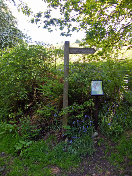
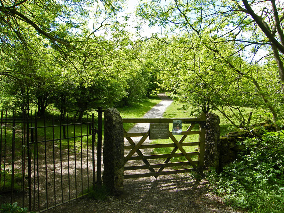
A couple of minutes from the car brought me to the fingerpost and start of my path. There are paths leading off all the way, most will lead to the summit but today...
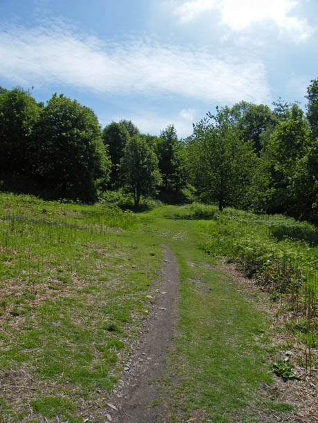
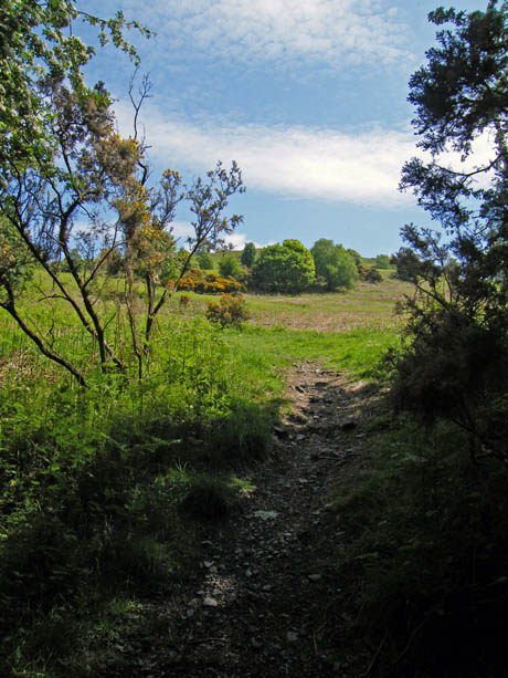
...I followed the main path which more or less follows the wall upwards. It was cooler in the shade of the trees and.....
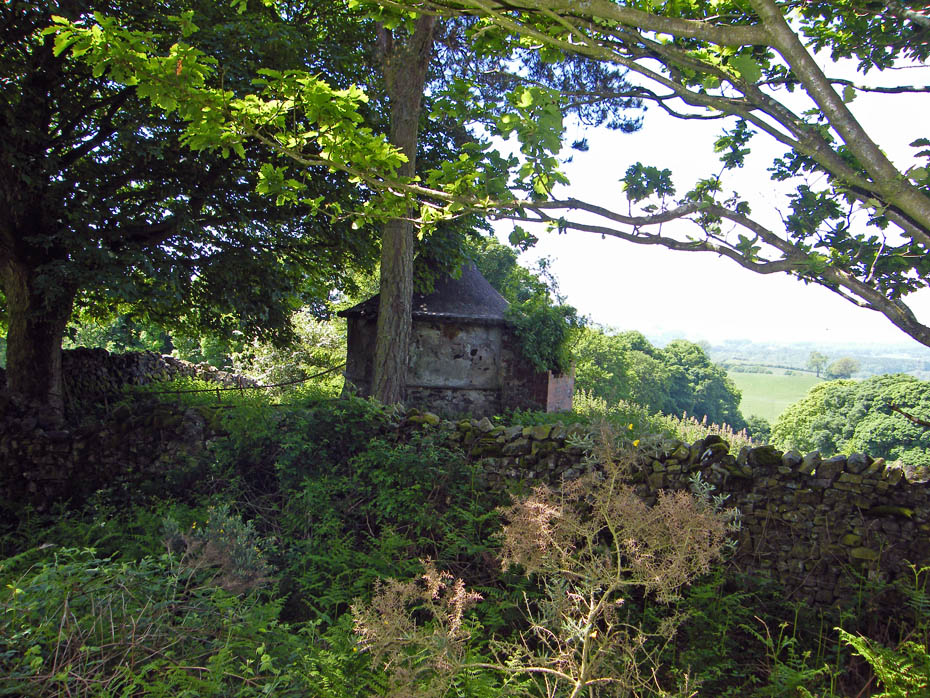
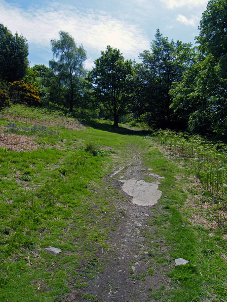
....I wanted to see if I could see what this building is about. It is in the shape of a pepper-pot but the wall at between 5' and 6' and a bit unstable was a barrier. There was a gateway nearby but locked and lots of barbed wire dampened my curiosity. The path I took towards the summit was just opposite here.
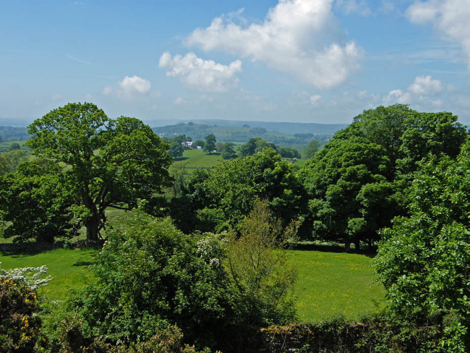
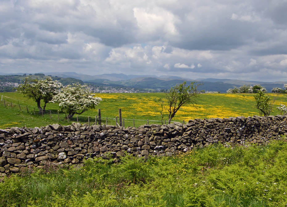
A look back to an hazy Whitbarrow.
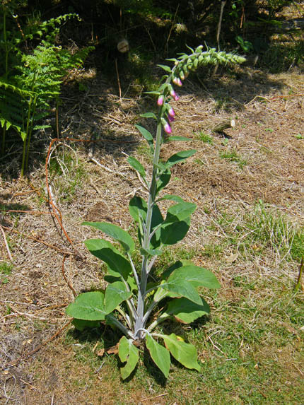
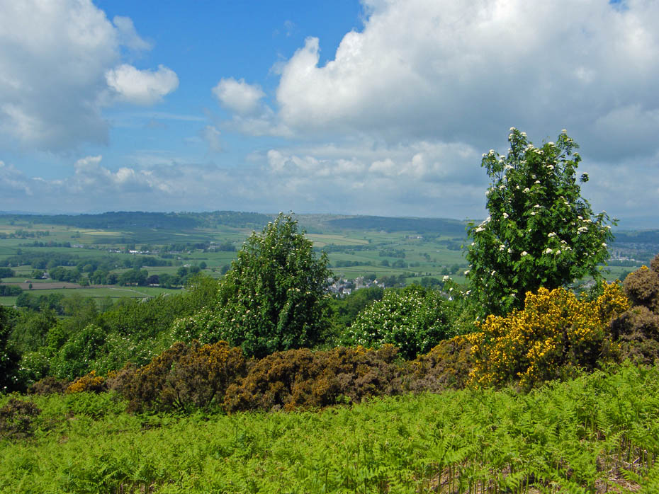
The Foxgloves are starting to flower now.
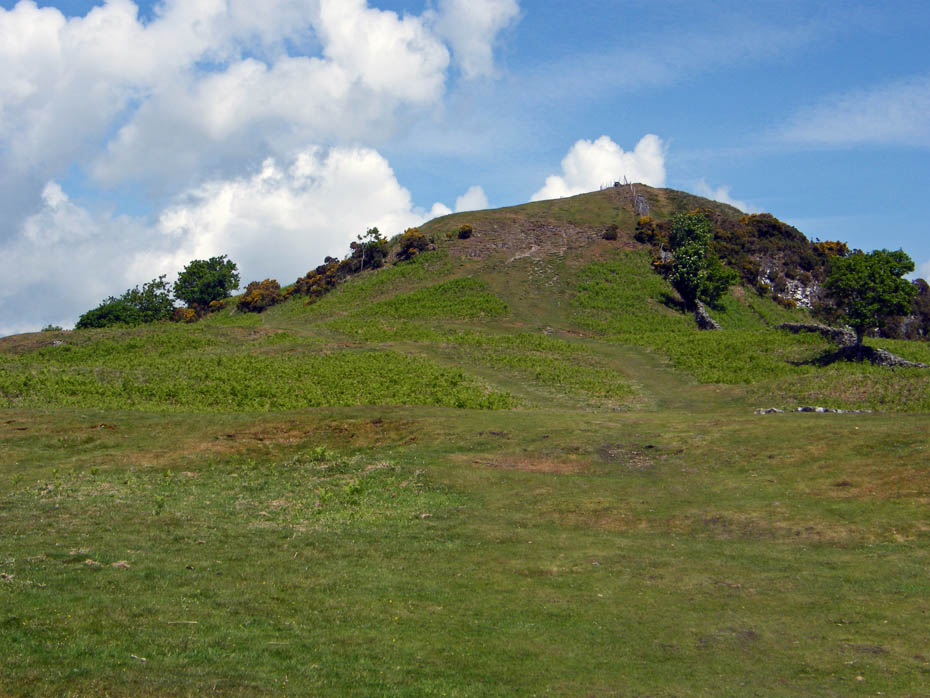
Within minutes, even at my pace, the summit comes into view. There are earthworks here that suggest it may have been the site of an Iron Age Fort and it is possible that the Romans used the site in conjunction with the Roman Fort at Watercrook near Kendal on the banks of the River Kent.
A look over towards the Kendal Scars.
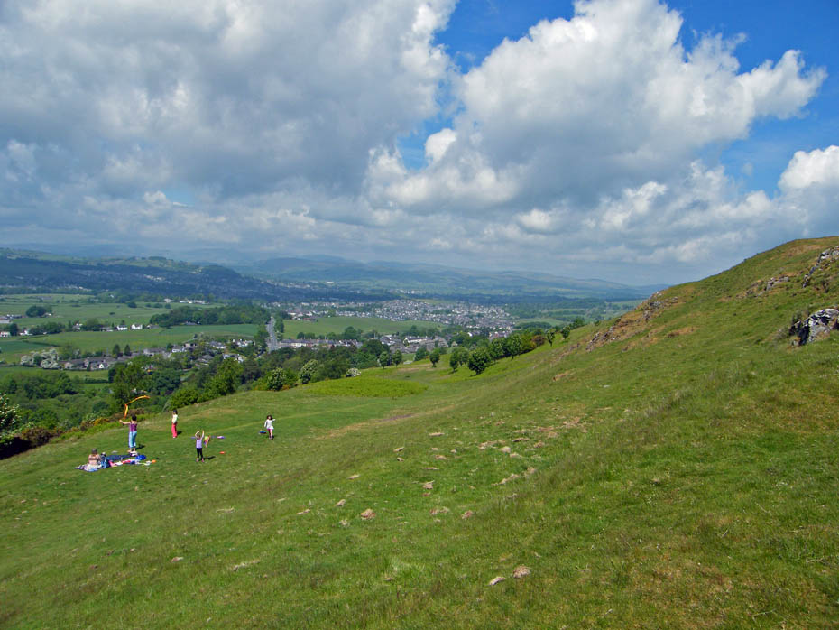
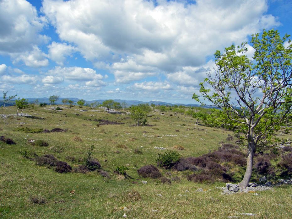
The Helm is a gentle hill, a fun place, the playground of the local children and visitors alike.
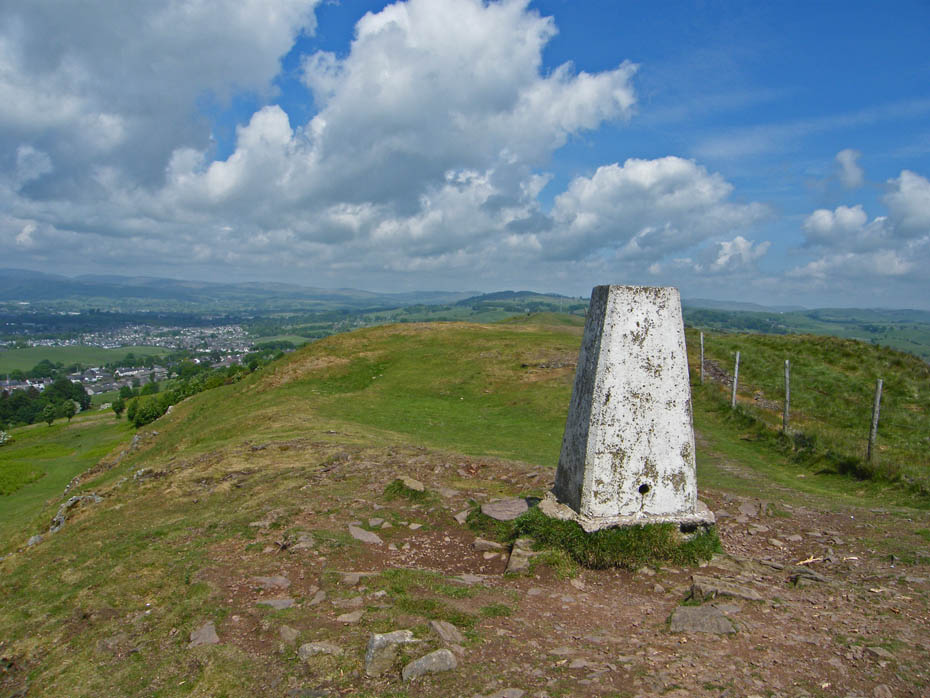
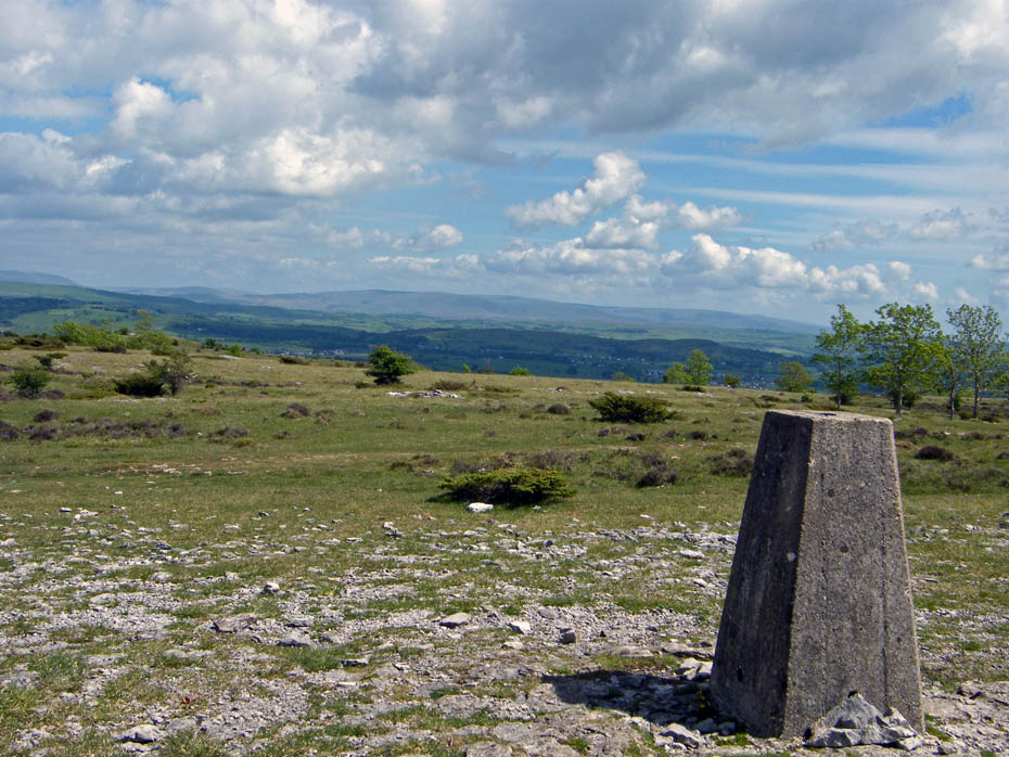
Well, here we are. Standing at a majestic 588' give or take the odd foot or two, the summit is a proud possessor of a Trig Point.
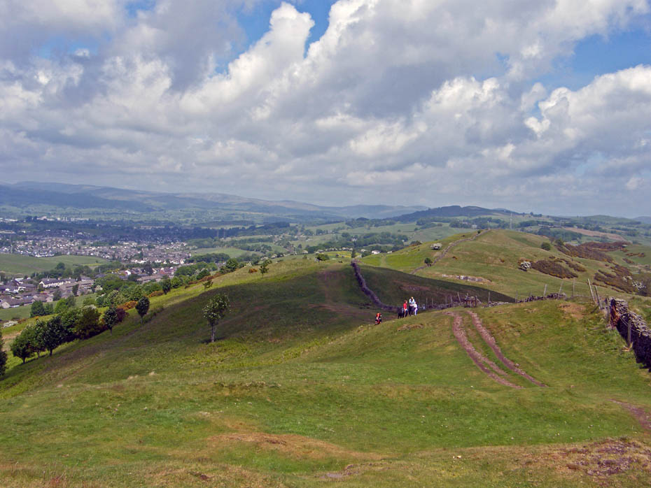
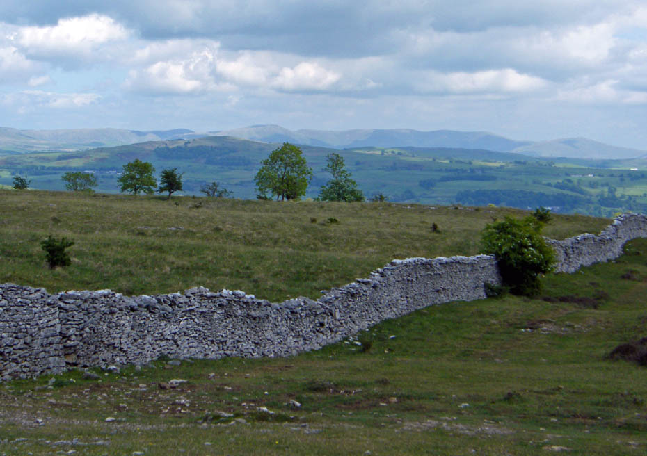
Looking N'wards along the undulating ridge runs a wall. To west, my side is common land.
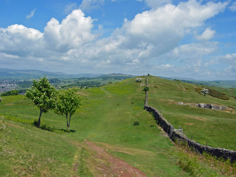
To my right or the to the Eastern side of the wall used to be private land with limited public access until 2007....
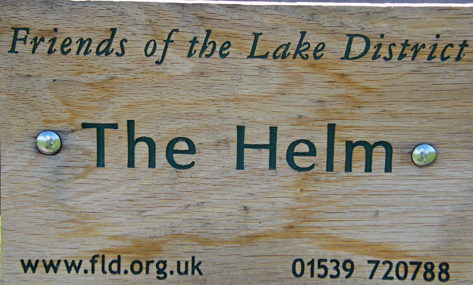
When The Friends of the
Lake District bought the land. Since then, the charity has put in gates, made of
local oak, to open up access to new areas to walk and relax, as well as reducing
sheep grazing to allow grasses and other wild flowers to flourish.
Take a look at their website, they are one of the most influential groups in the
Lake District and do a tremendous amount of good for the area.
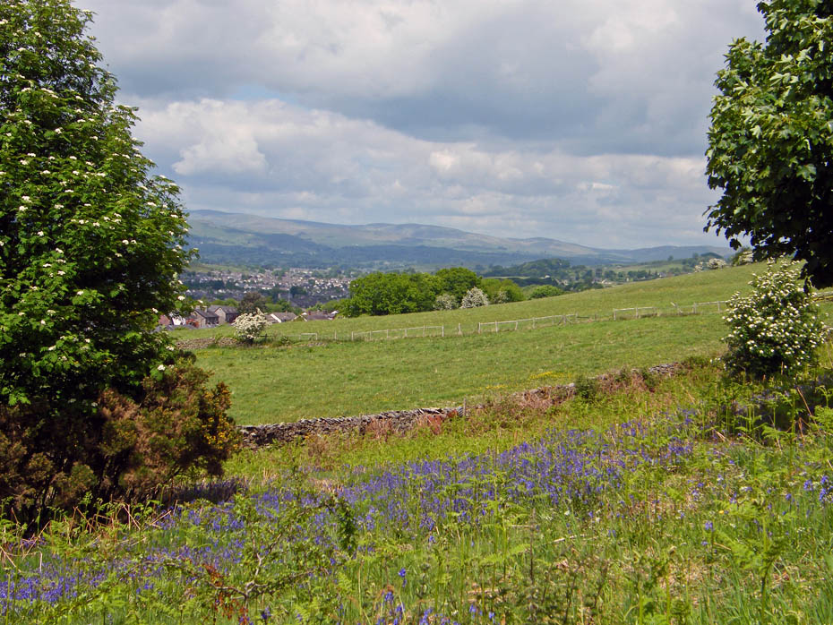
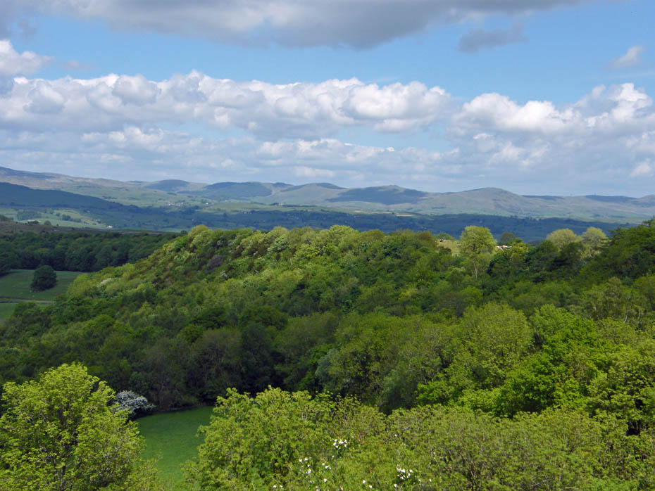
Looking E'wards towards Middleton Fell
The Kendal Scars
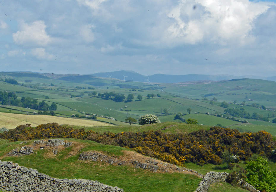
Eastwards to hazy Howgills. Also to the left of the Wind-farm is Lambrigg Fell and to the right Summerhouse Hill
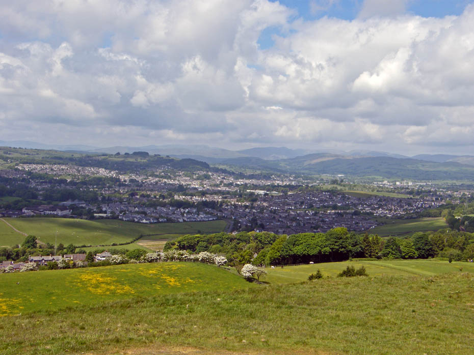
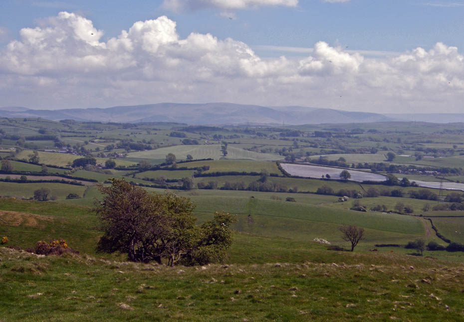
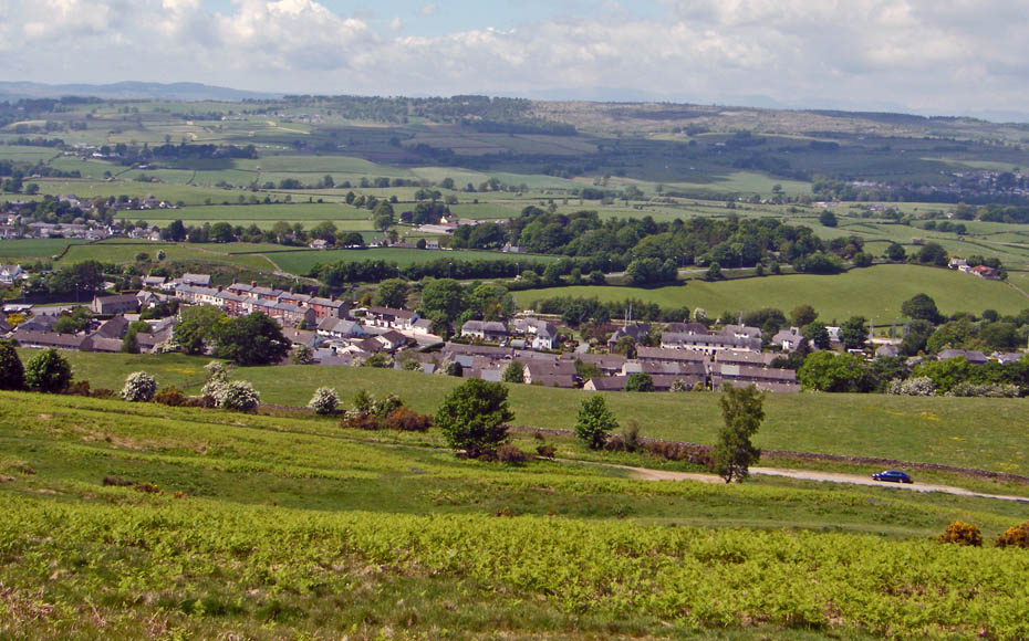
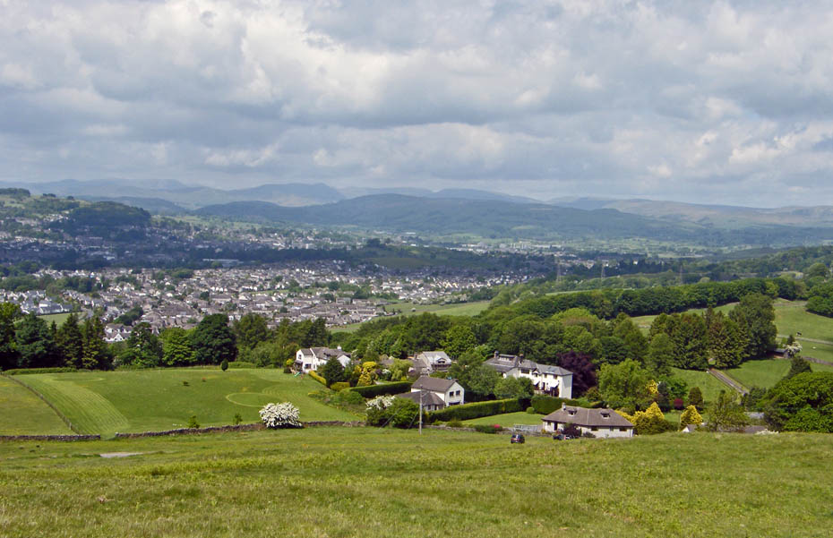
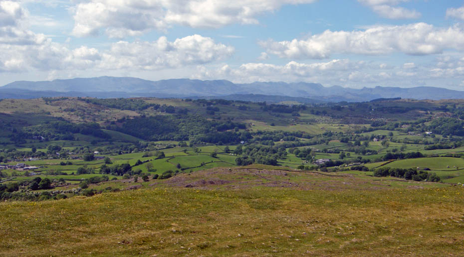
To Kendal and a hazy Lakeland.
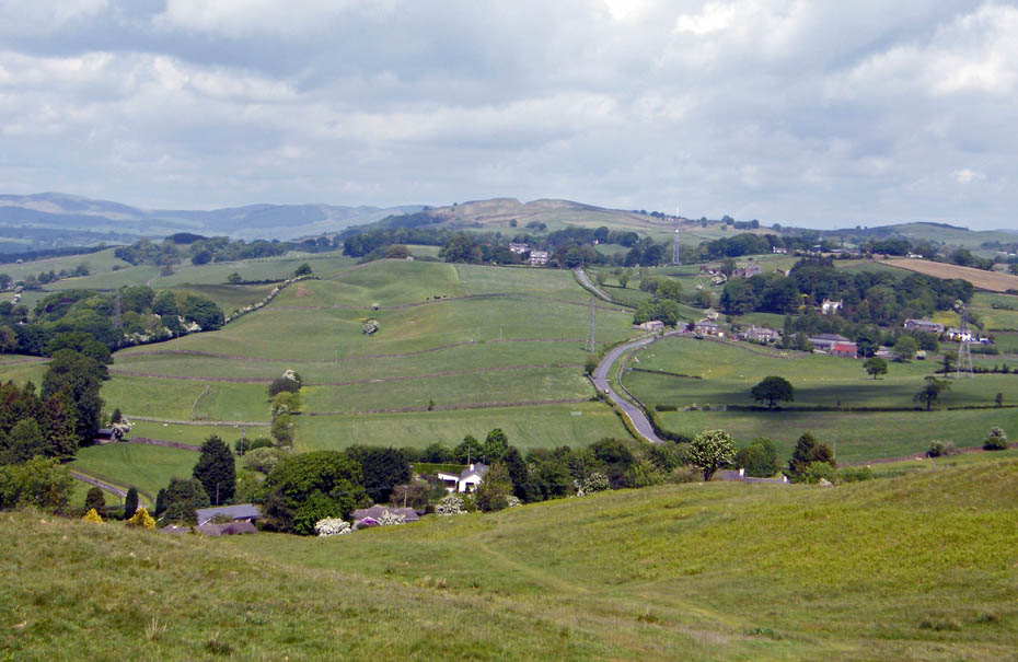
Looking up Hayclose Lane and Benson Knott as I descend.
It does appear to be getting a little clearer.
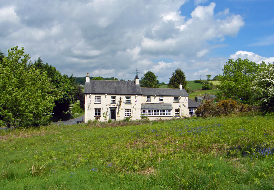
The Station Inn near Oxenholme.
My return to the A65 and the car is along a quiet lane. For those with tiny legs or just wanting to picnic there is plenty of parking along its length.
Almost back to the car and in nice time for my meeting.
Scout Scar
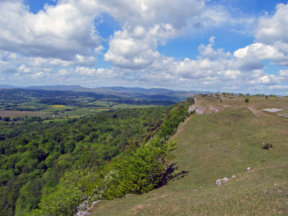
As mentioned earlier I thought it was a bit clearer as I drove up to the Kendal Scars so I decided to park up and check it out.
Having parked the car I crossed the road to pick up the path up Scout Scar.
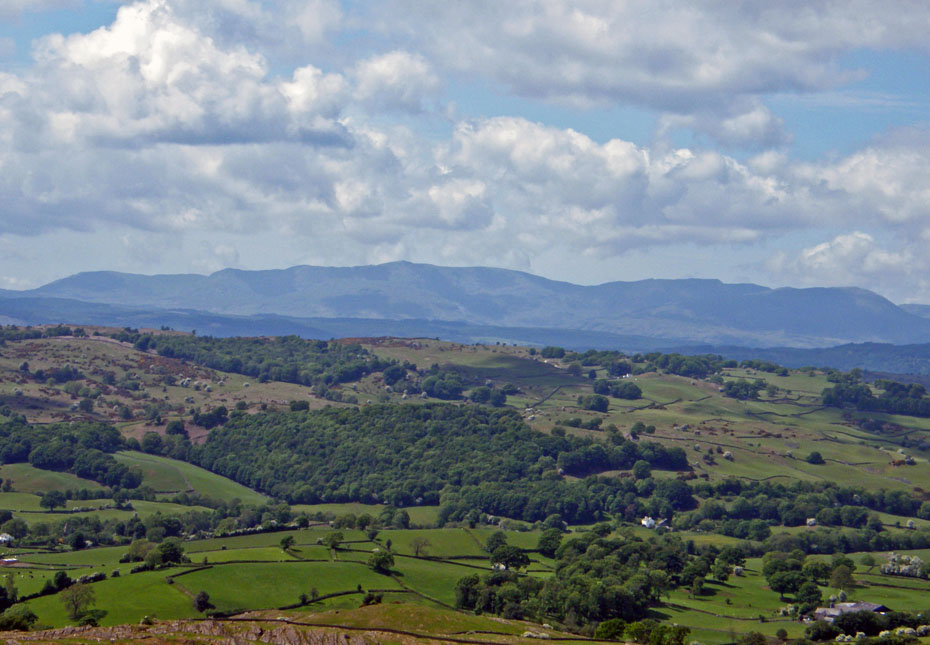
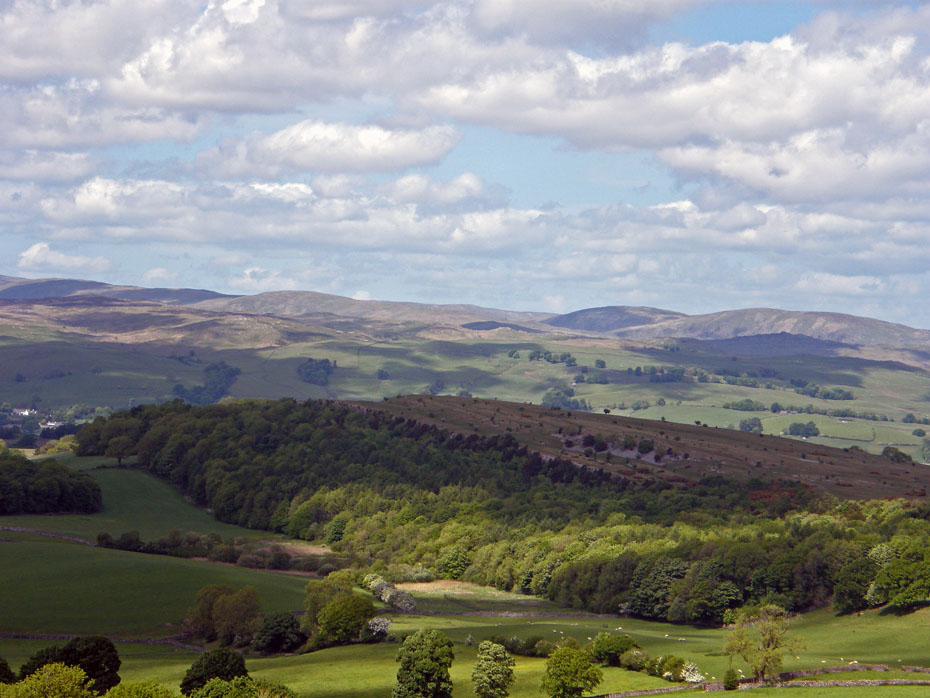
It did look promising as the Whinfell Ridge came into view.
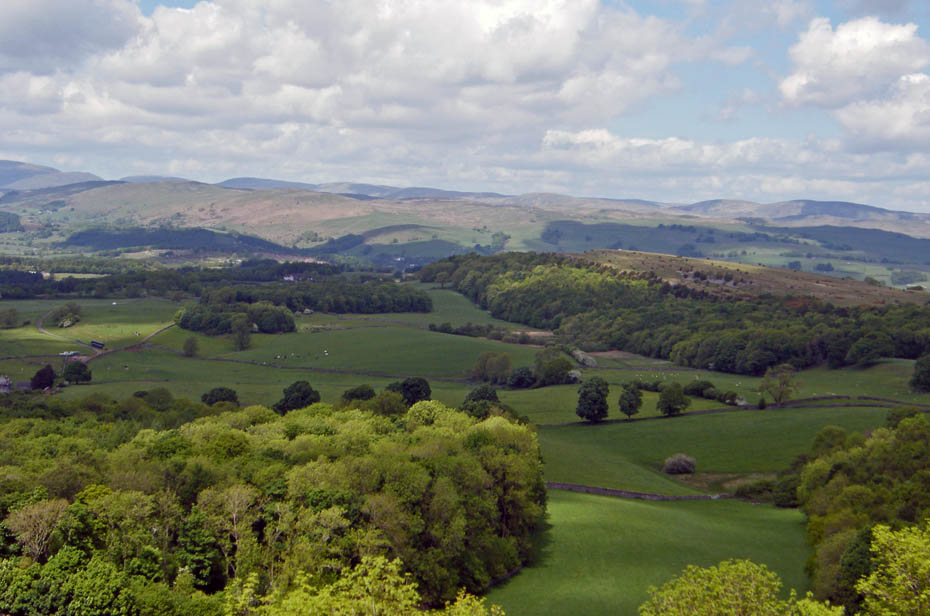
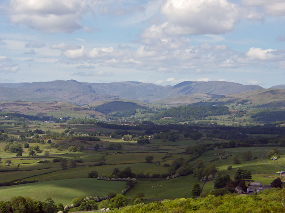
Looking over Cunswick Fell and Potter Fell to the Shap Fells
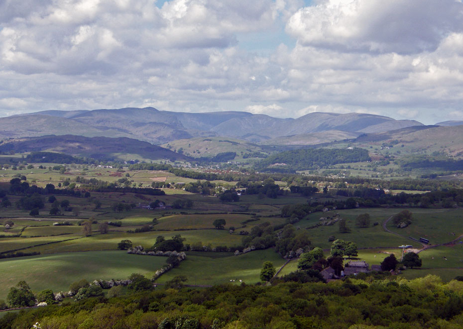
It was worth stopping for. I love this view into Kentmere. It is only surpassed by the one from Cunswick Fell.
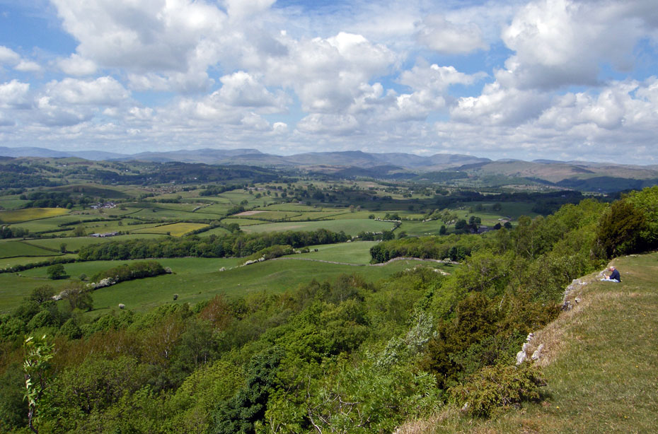
I decided to walk along the Scar edge for a while with plenty of look backs.
Towards Coniston Fells.
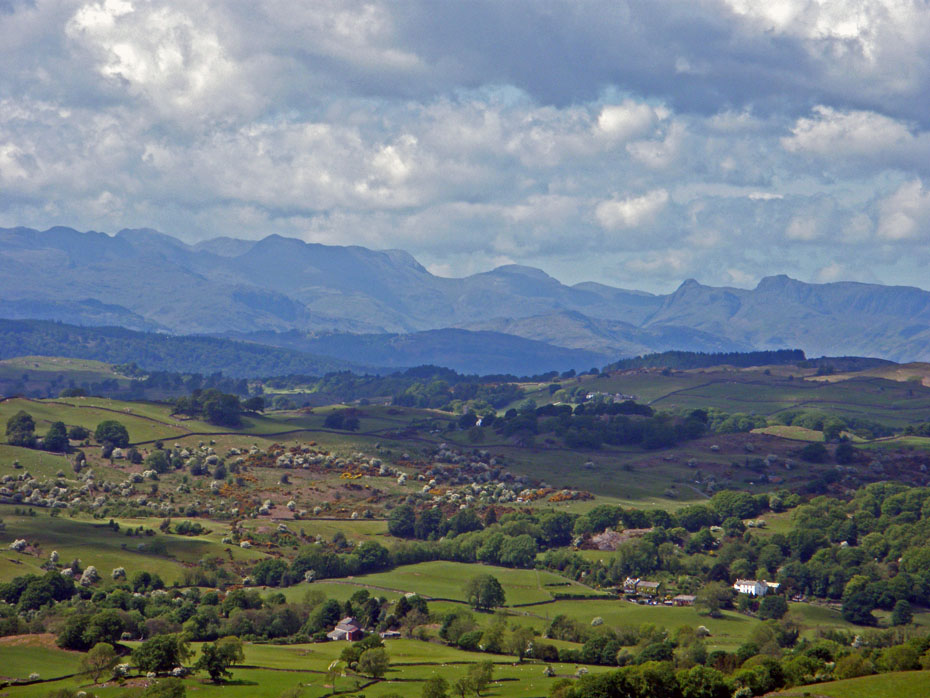
The Crinkles, Bowfell and the Pikes .
Scout Scar summit....The small shaded ridge just left of the Trig Point is The Helm that I was on earlier.
The Howgill Fells behind Benson Knott.
Making my way back.
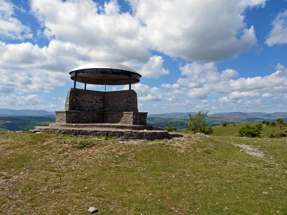
The shelter on Scout Scar.
A Lakeland panorama.
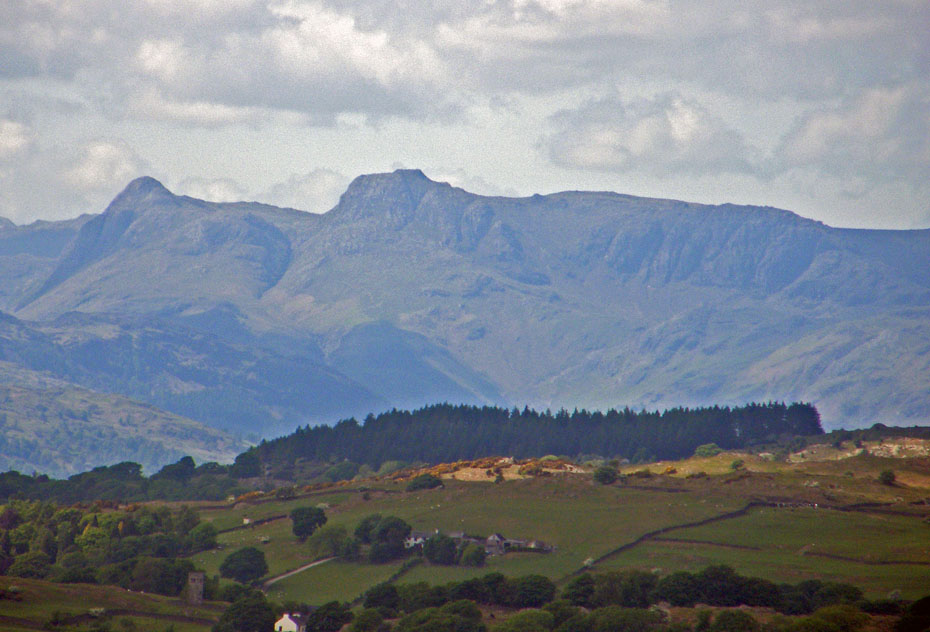
A poor close up of the Langdales.
Sorry.....I can't resist another
All in all, two little walks that I really enjoyed, but marred forever by what happened on this day.
Next Walk: 3rd June 2010 - Lake District - A Great and Little Langdale walkabout.
Last Walk: 31st May 2010 - South Cumbria - Yewbarrow & Witherslack
Do you have a Facebook or Twitter account. We post regular updates on both. Just click on either of the links below.
![]()

We hope you have enjoyed viewing this walk. If you have any comments please sign our Guestbook or E_Mail us.
