
| Area: | Yorkshire Dales | Ascent: | 1025 feet |
| Walk No: | 403 | Time: | 4hours 15minutes |
| Date: | 10th June 2010 | Parking: | Roadside at Muker |
| Distance: | 6.25 miles | Weather: | Dull and grey with low cloud. |
| Route: |
For those of you that are thinking of going onto the hills I would strongly recommend that you read the advice given by the Mountain Rescue organisation of England and Wales. To read this advice, which will open in a new page please click HERE. If you would like to make a donation to the Mountain Rescue organisation which is purely voluntary please click HERE. Please make the time to read the advice page.
We had been thinking of doing this walk for a few days so when the weatherman was promising a better day for today after a few days of poor weather we decided to go for it. It is only around 47 miles from our house to Muker but several times along the way I was tempted to turn around but carried on in the hope that the day would improve. We arrived to a few spots of light rain which fortunately soon cleared but the day did not improve until we were heading home when around Ribblehead it started brightening. We have been coming to Swaledale mainly to Muker at this time of the year for many years to combine a look at the flower meadows at Muker with a walk. Usually we have been very lucky with the weather but today the boot was on the other foot. However it did not spoil the enjoyment of just being able to do the walk.
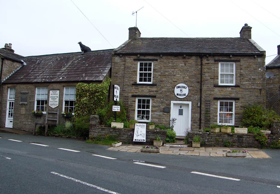
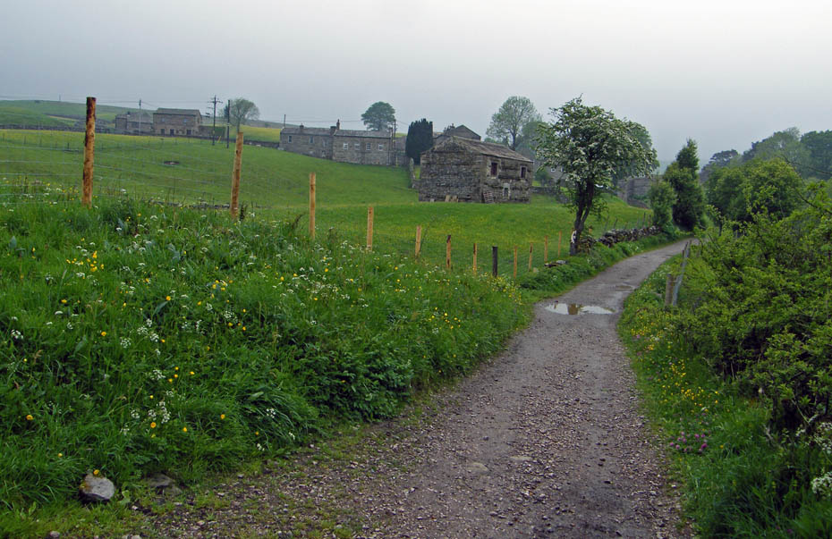
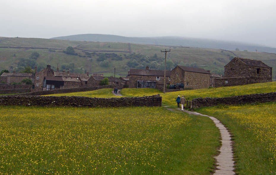
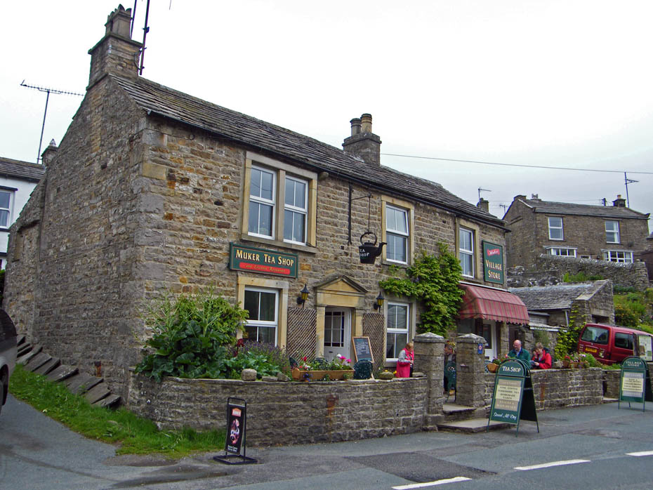
We arrived in the village to grey skies and some light spotting of rain. However in the hope that it would brighten later we set off.
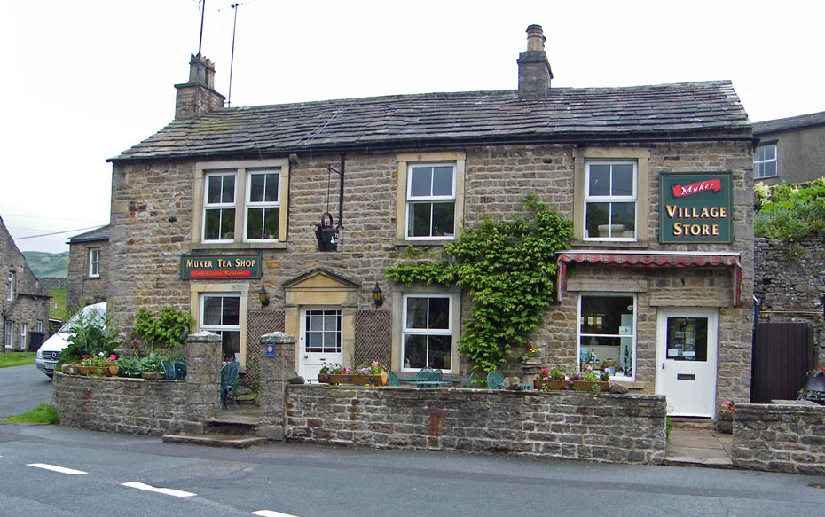
All quiet at this time. It would be a different story on our return.
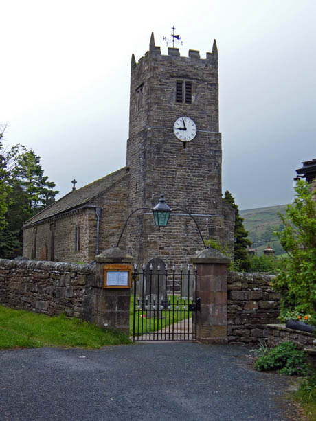
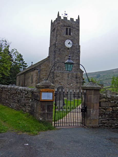
St Mary's Church at Muker
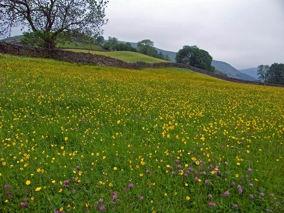
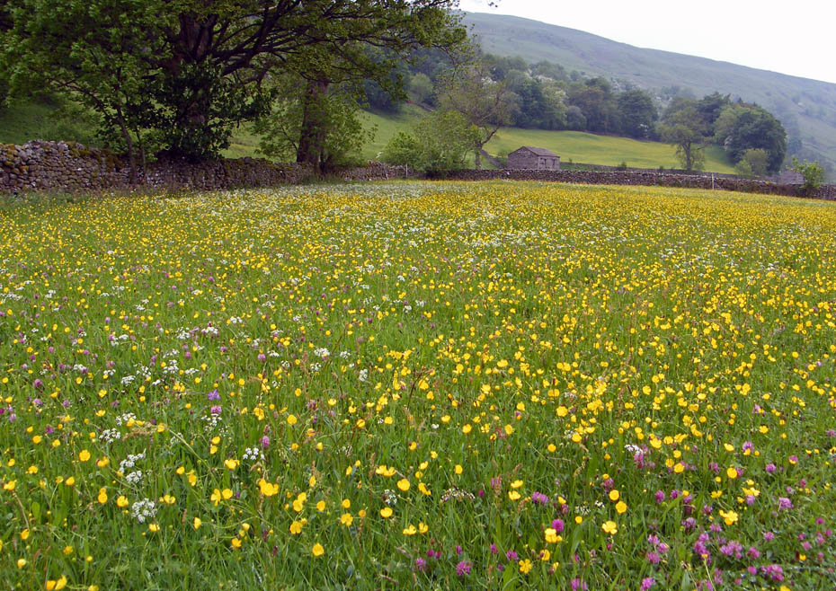
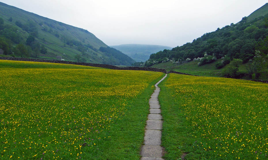
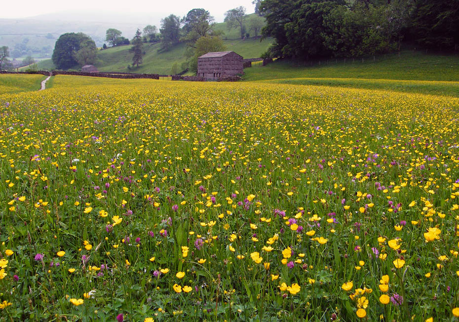
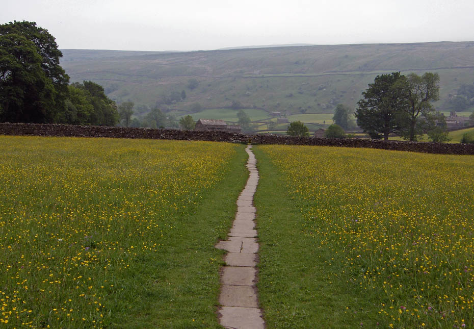
After a short walk we were in the meadows. It wasn't the best day to take pictures with dull grey skies and a stiff breeze that was making them wave about.
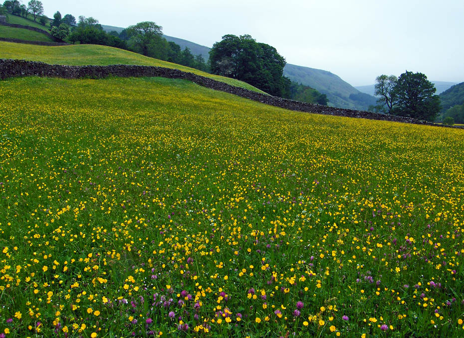
However even in these conditions it is a pleasure to walk through the fields.
Looking over to Ivelet Side as we cross the meadows.
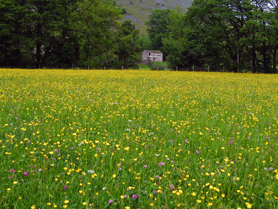
Very colourful but I've seen them in a lot better condition.
A look back.
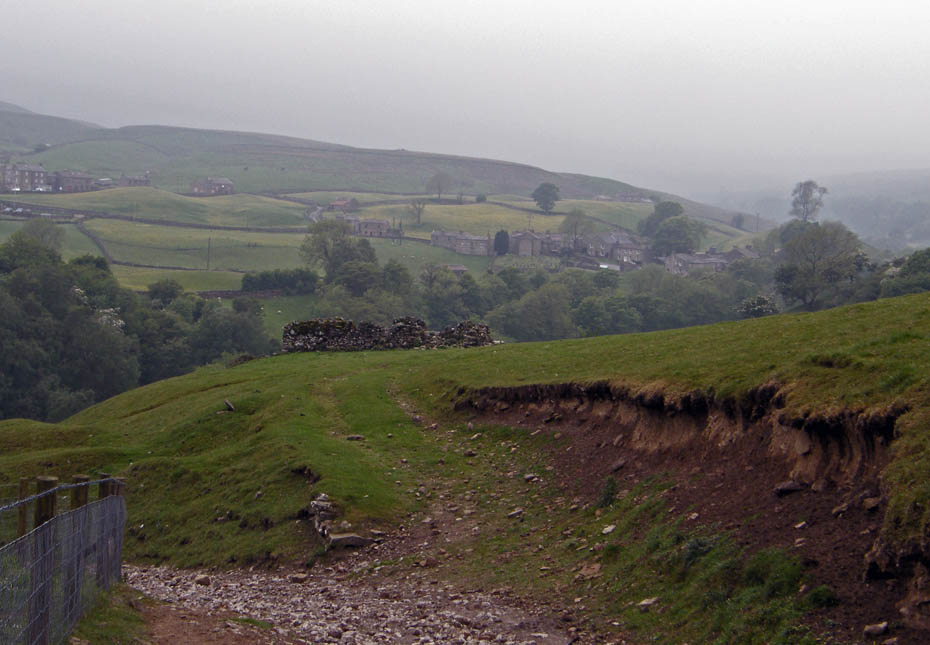
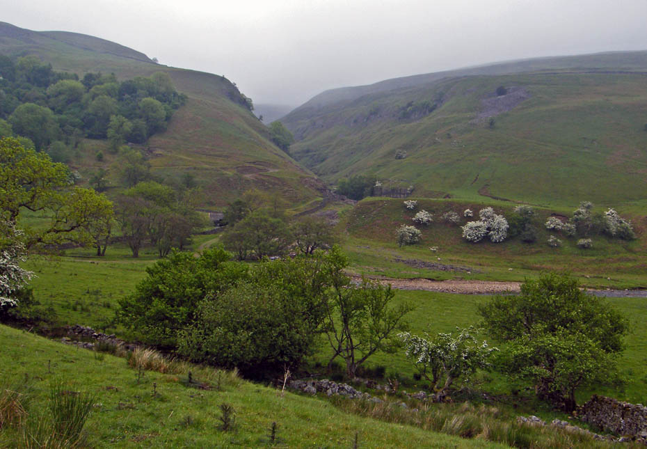
And ahead up a dour looking valley.
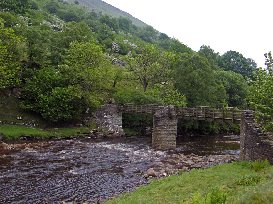
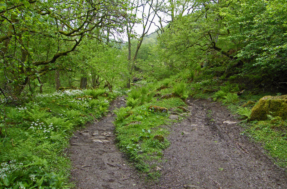
We decided to walk up the right hand side (east) side of the river and made our way to Ramps Holme Bridge to cross.
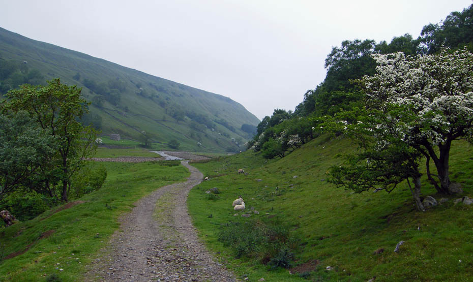
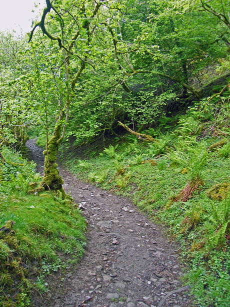
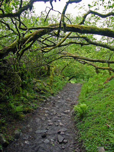
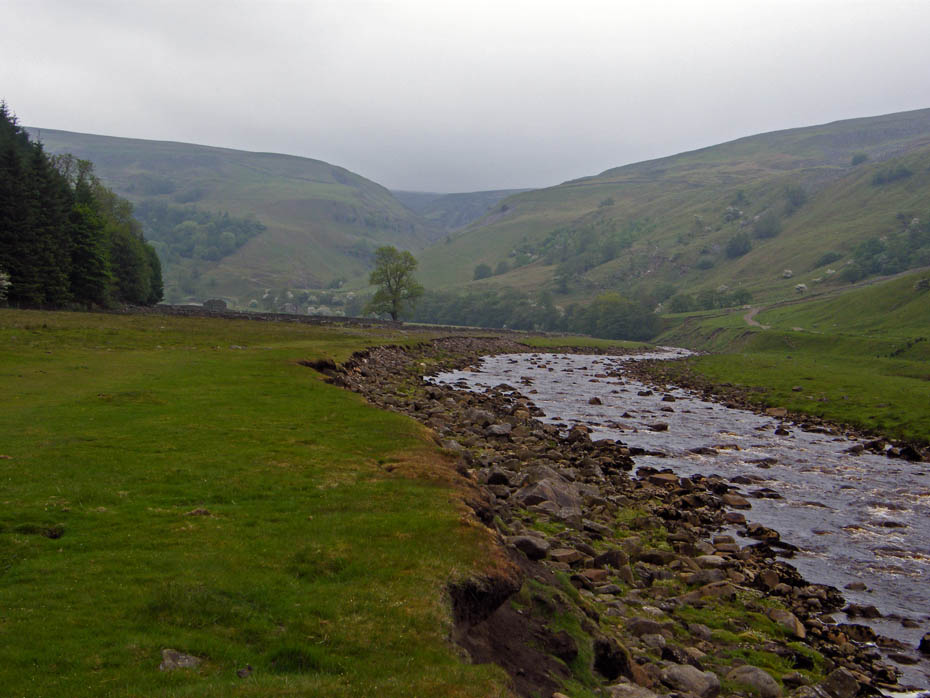
A good track climbs easily following the River Swale.
The views are limited to the valley bottom but who cares, we are out and about and the light rain as now stopped.
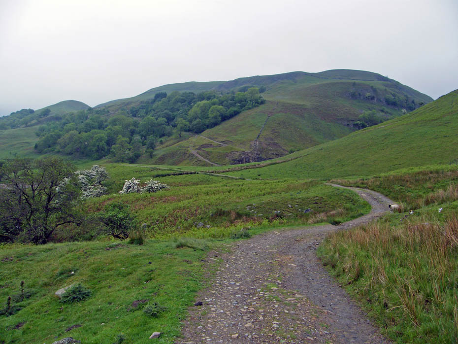
Approaching Swinner Gill with our path up Bracken Hill ahead.
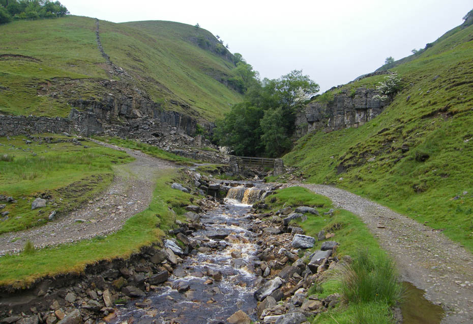
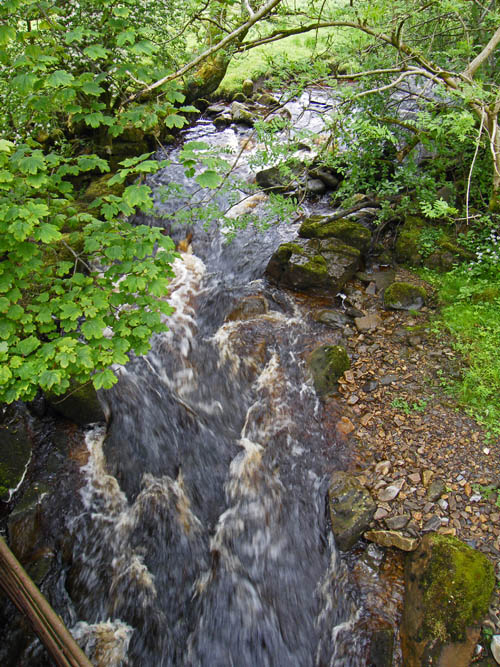
Swinner Gill....This is where I took a tumble last year when we did the walk in the reverse direction.
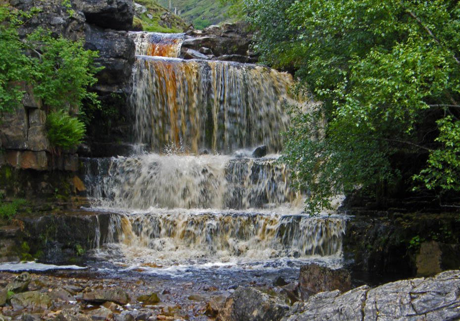
After recent rain at least the waterfall in Swinner Gill put on a bit of a show.
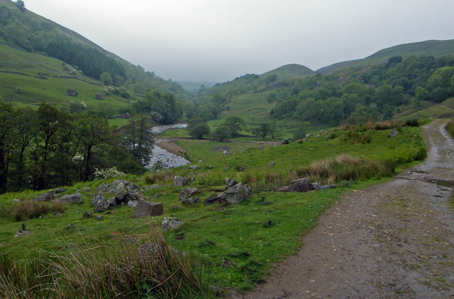
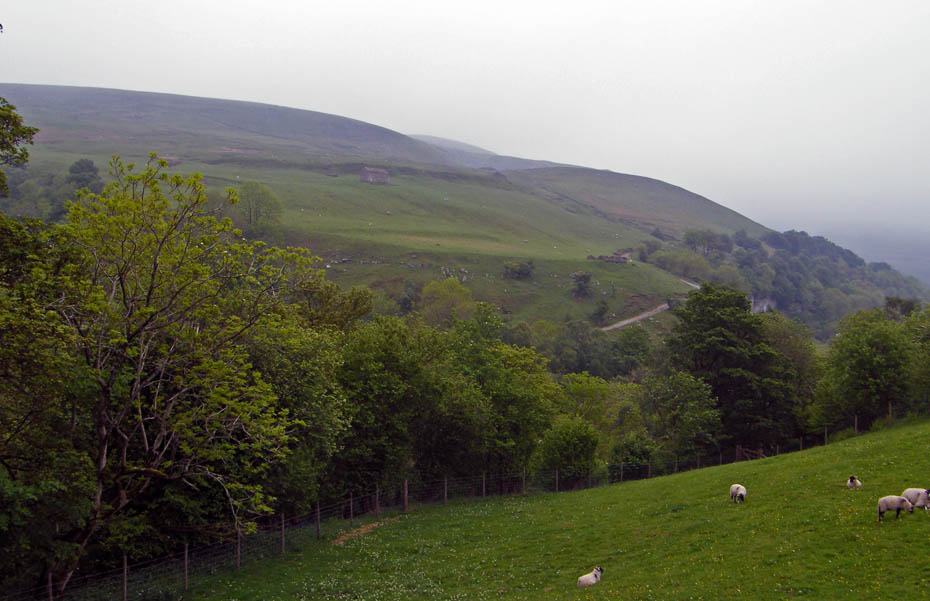
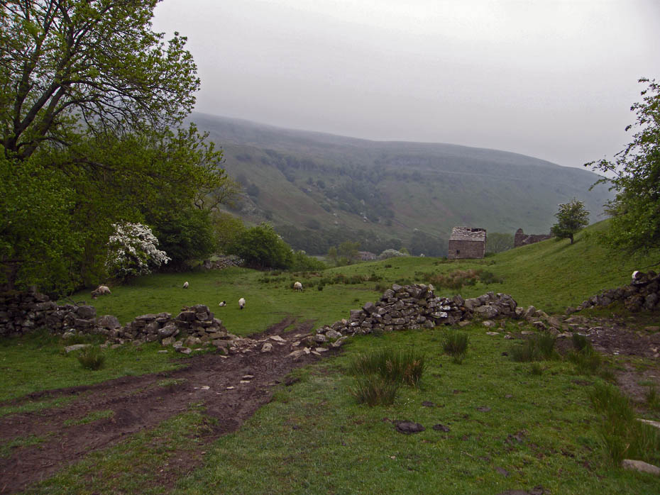
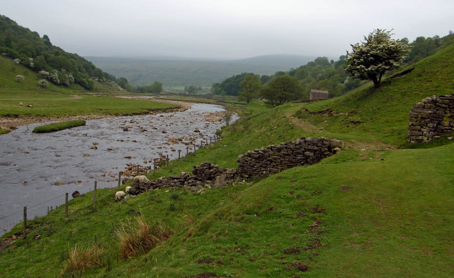
Looking back down the valley and there's no sign of any improvement.
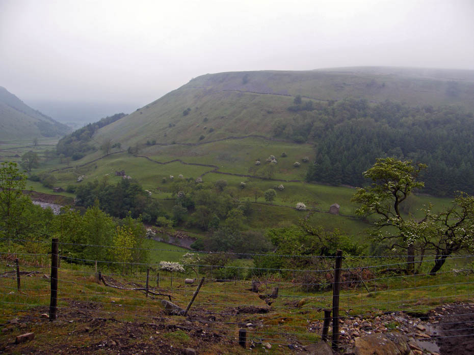
If anything it as got worse, the cloud is now down on Kisdon on the other side of the valley.
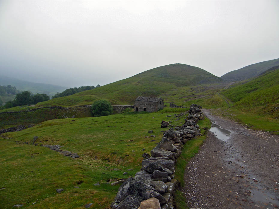
Walking up Stony Hill with Beldi Hill ahead.
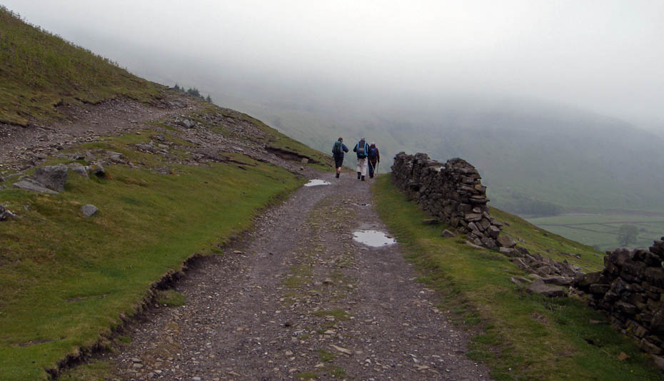
A short chat to 3 people doing the Coast to Coast.
I get Edith to do this every year despite protestations....the Granddaughters love it!
Staring to descend now with Keld ahead.
Crossing the footbridge over East Gill
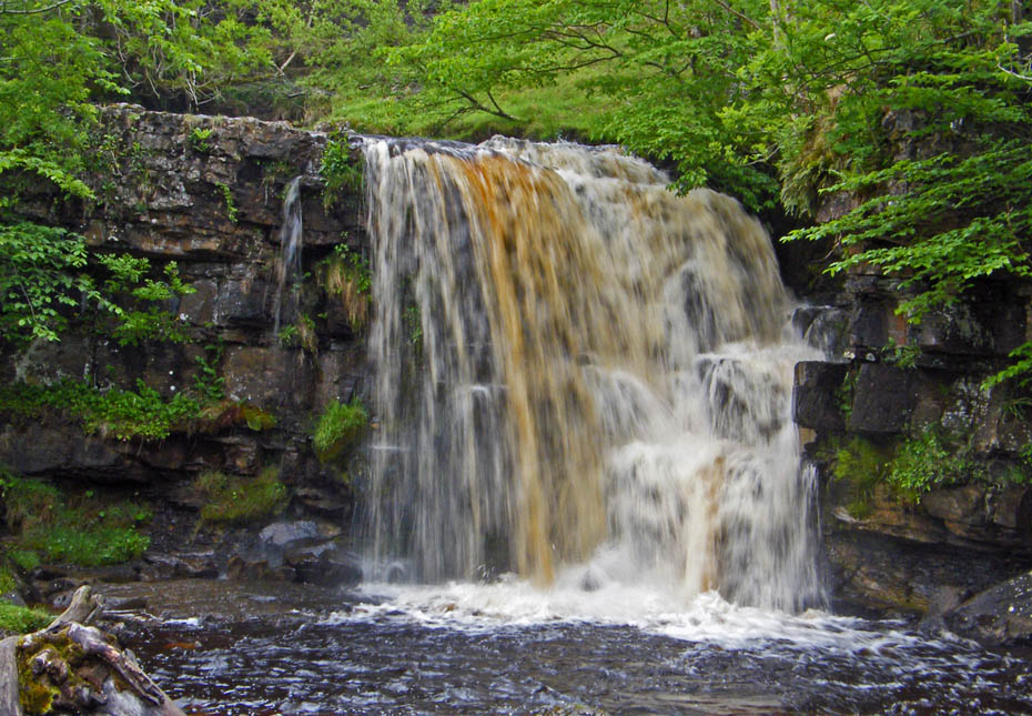
East Gill cascades down to join the River Swale
East Gill lower falls tumble into the Swale
On the land to Keld. We will return down this section shortly.
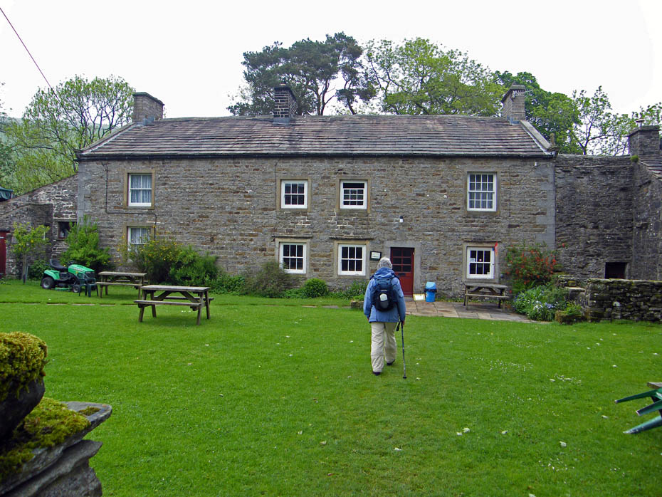
But first a visit to the cafe....
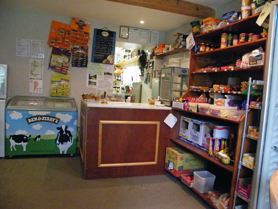
2 Mugs of tea, a large chunk of delicous fruit cake and a scone and butter......for only £4.50. C'mon Lakeland don't take advantage!!
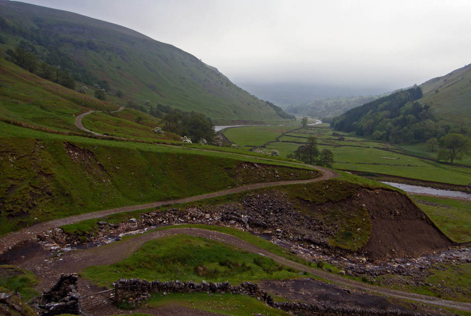
Looking across to our outward route as we start back. A choice soon had to be made. Do we return along the valley bottom or on the Pennine Way along the flanks of Kisdon. With the cloud still down the valley seemed the better option.
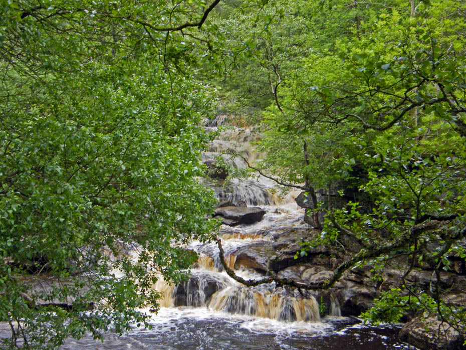
The path descended steadily. We ignored the path down to Kisdon Force. All these waterfalls combined with my tablets to clear fluid from my Lungs/Heart mean I'm always stopping for little calls. :-o
No improvement in the weather but never mind many would would give good money to be here, even today.
Across to Swinner Gill.
Not far now
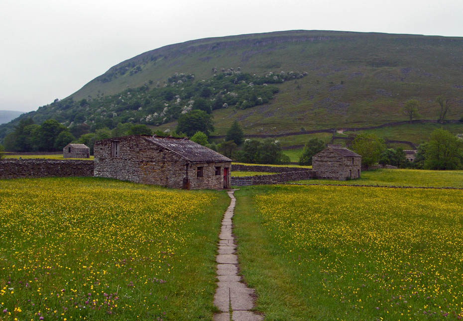
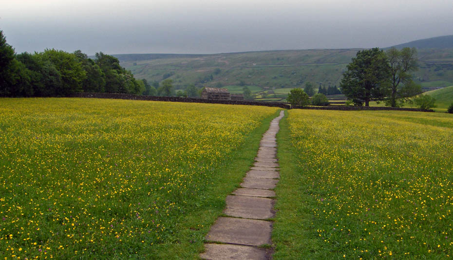
Back to the meadows.
And finally....after changing footwear and dumping the bags a second cafe to visit.
Next Walk: 12th June 2010 - Lake District - Sour Howes & Sallows
Last Walk: 5th June 2010 - Lake District - Orrest Head, 80 years on
Do you have a Facebook or Twitter account. We post regular updates on both. Just click on either of the links below.
![]()

We hope you have enjoyed viewing this walk. If you have any comments please sign our Guestbook or E_Mail us.
