| Area: | Lake District | Ascent: | 1220 feet |
| Walk No: | 404 | Time: | 4 hours 15 minutes |
| Date: | 12th June 2010 | Parking: | Junction of Moorhowe & Dubbs Road (NY423006) |
| Distance: | 6.75 miles | Weather: | Fine and mainly sunny. Warm. |
| Route: |
For those of you that are thinking of going onto the hills I would strongly recommend that you read the advice given by the Mountain Rescue organisation of England and Wales. To read this advice, which will open in a new page please click HERE. If you would like to make a donation to the Mountain Rescue organisation which is purely voluntary please click HERE. Please make the time to read the advice page.
The World Cup as started and it is also the Canadian Grand Prix F1 qualifying day so it was an early get away that saw us parked up and walking around 8am. We walked up Dubbs Road track past the reservoir to take the sometimes steep path up Applethwaite Common to the summit of Sour Howes. We then made our way over to Sallows before descending to the Garburn Pass. Up to this point we hadn't seen a soul but things were to change with walkers, cyclists and quad bikes. My intention had been to return down the Garburn track to the Longmire Road track but when we were told that there was a cycle race which would be going down that track we decided on a return along the Dubbs Road track.
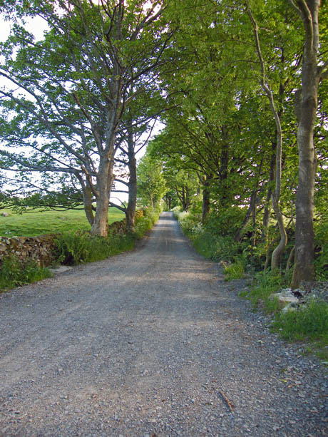
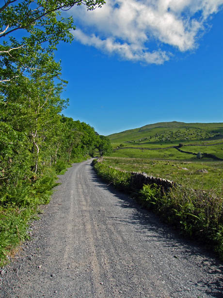
We were the first car to park up at the junction and we were soon booted up and on our way along the Dubbs Road.
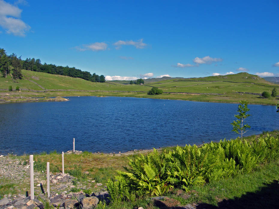
Dubbs Reservoir - The reservoir used to be an important water soursce but fell into disuse. It as now been restored as a wildlife haven and access as been improved.
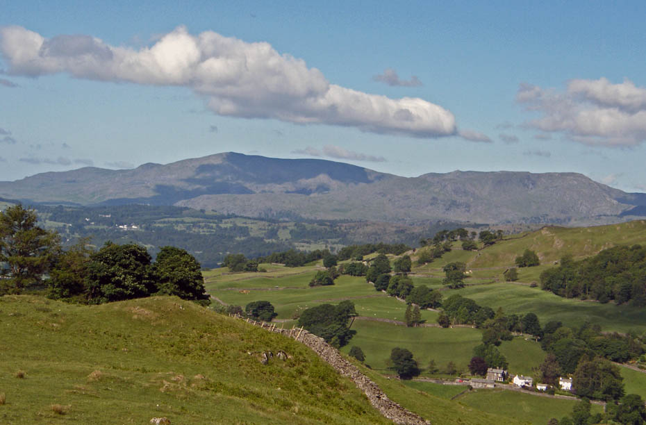
The Coniston Fells as we walk along the Dubbs Road.
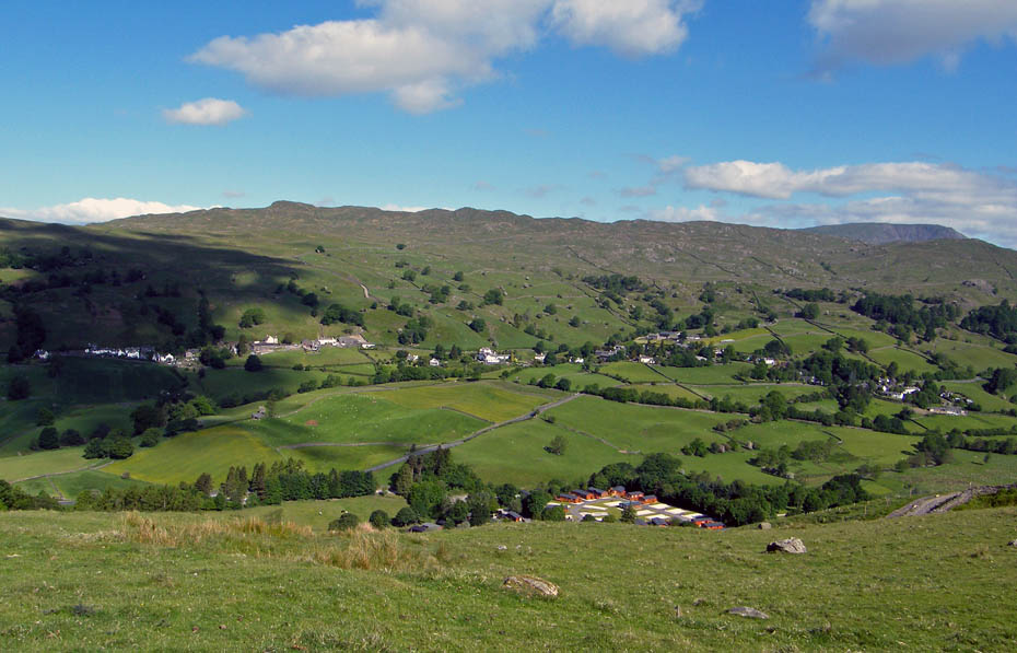
Below us is the village of Troutbeck with Wansfell behind.
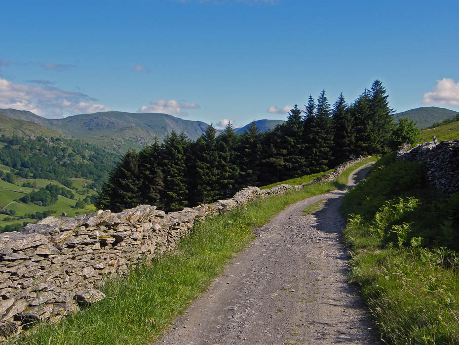
Just before this plantation is reached you will see a stile on either side of the lane. Take the one on your right and start the climb, steep in places up Applethwaite Common.
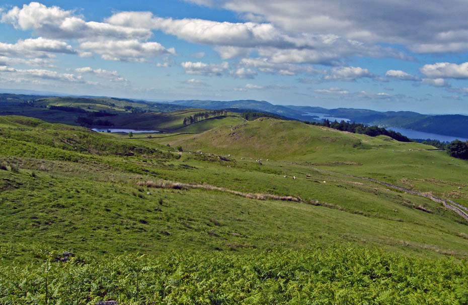
Gaining a little height and the views down Windermere open. That's Dubbs Reservoir to the left.
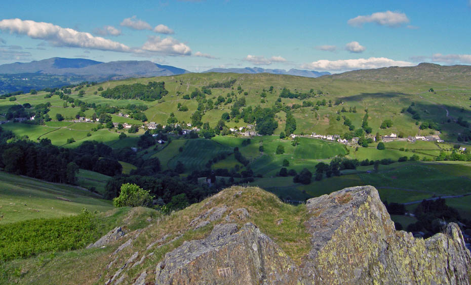
The paths winds its way up the fellside more or less following a line of small rocky outcrops.
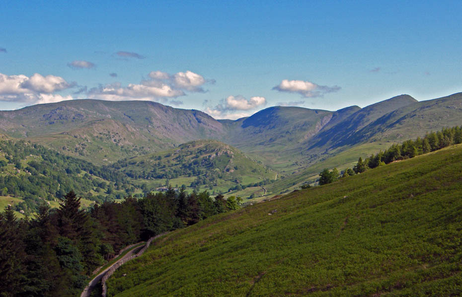
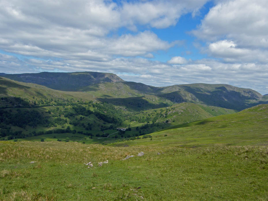
Looking up the valley of Troutbeck with tiny Troutbeck Tongue surrounded by its higher cousins. To the left Stony Cove Pike with Thornthwaite Crag, Froswick and Ill Bell to the right.
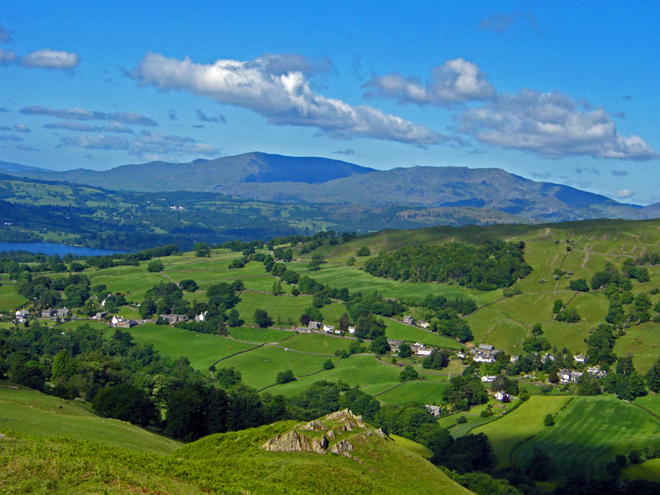
Getting higher.
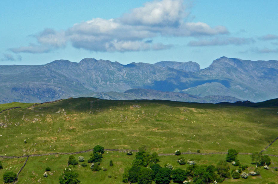
Crinkle Crags and Bowfell with the big ones behind.
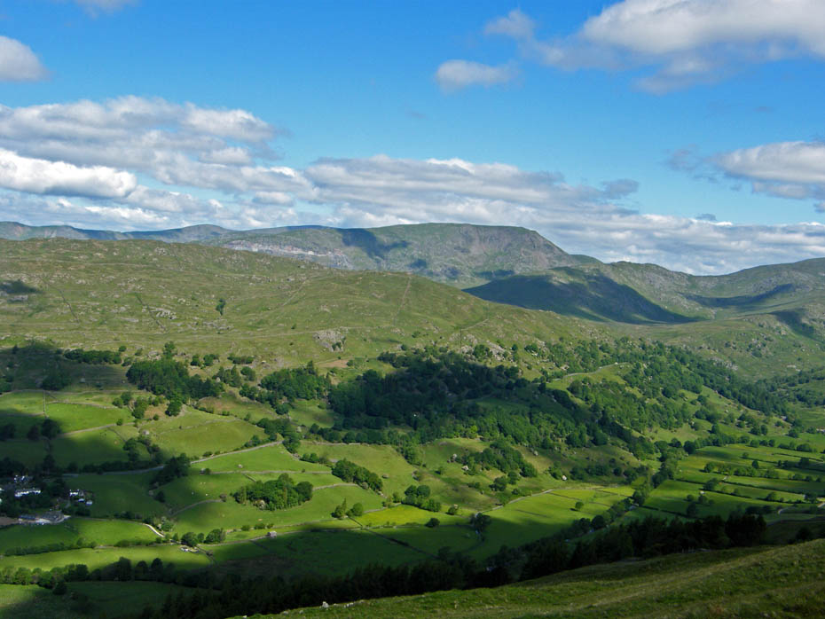
Looking over to Red Screes
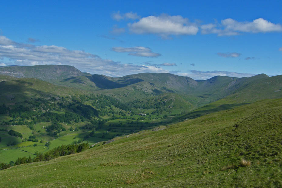
Far Eastern delight.
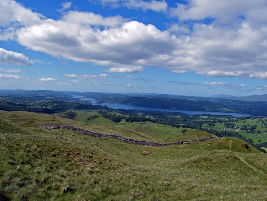
Eventually you reach a stile in a wall shown below. From here it is just a couple of minutes to the summit.
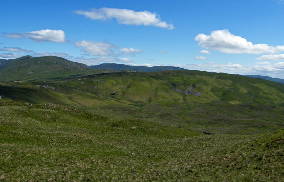
Looking over to Sallows our next objective.
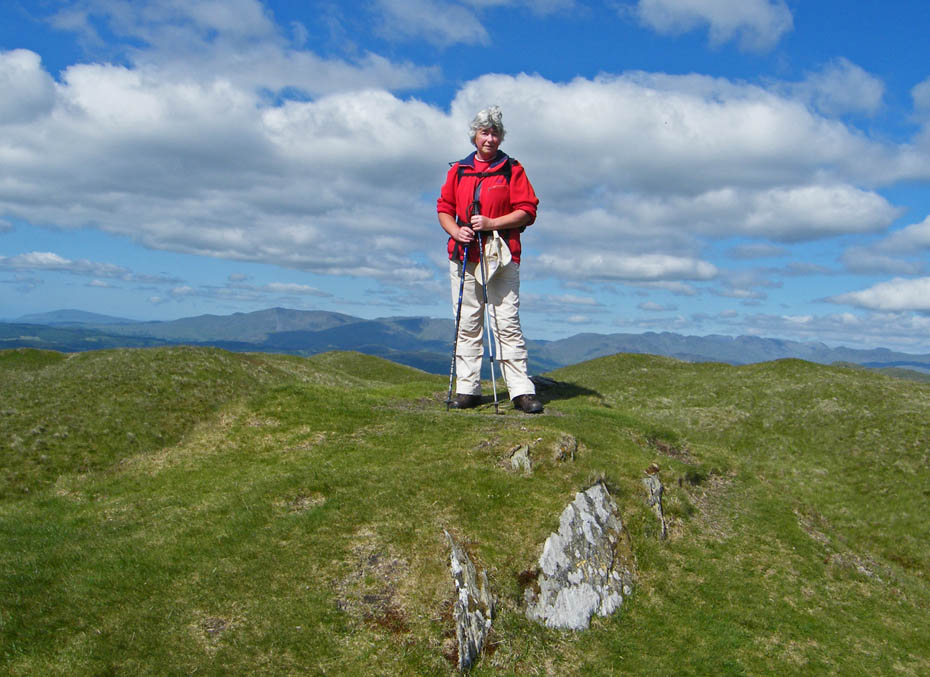
Sour Howes - If your lucky you might find a small pile of stones that pass for a cairn.
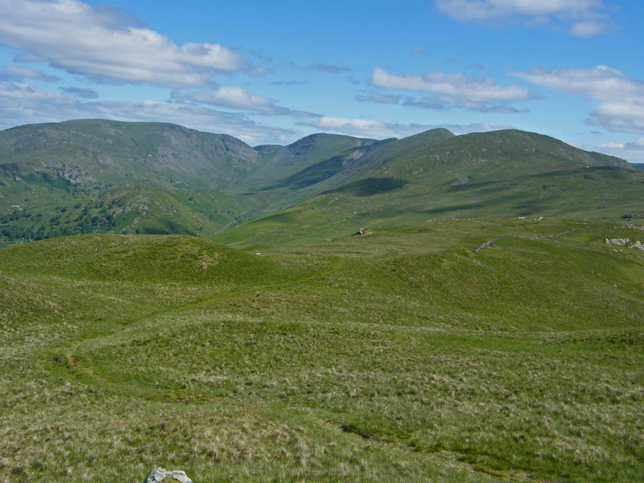
On our way to Sallows.
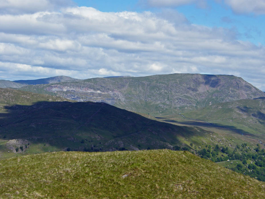
Red Screes
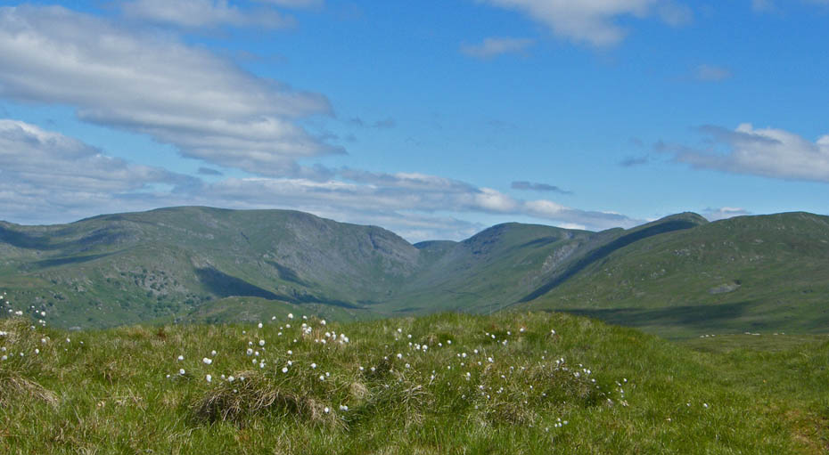
Cotton grass abounds.....Beauty surrounds.
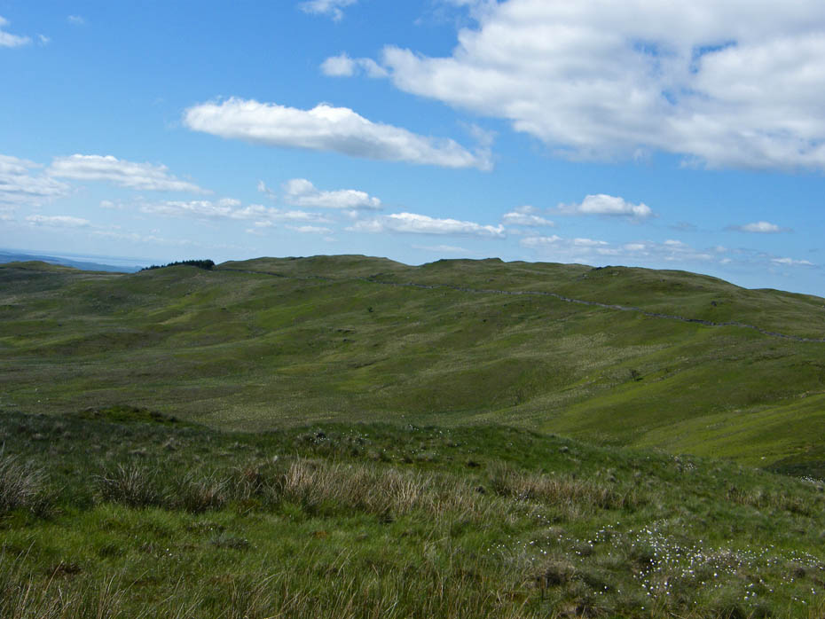
Looking back to Sour Howes as we make our way to Sallows
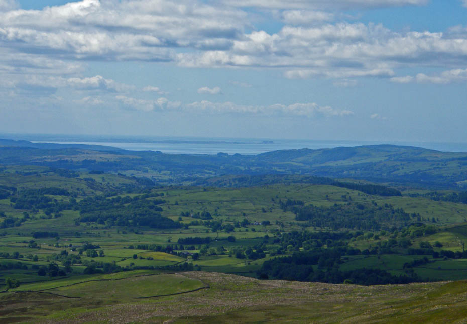
Looking towards home.
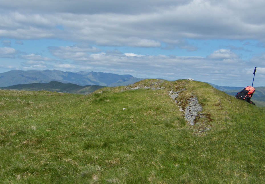
"A curious curving mound of shale and grass, thirty feet long and narrow as a parapet, marks the highest part of the fell. It seems to be man-made but is more probably a natural formation."......A Wainwright, The Far Eastern Fells.
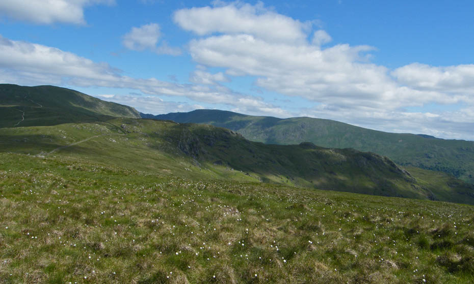
Looking over Castle Crag towards Kentmere Pike and Harter Fell.
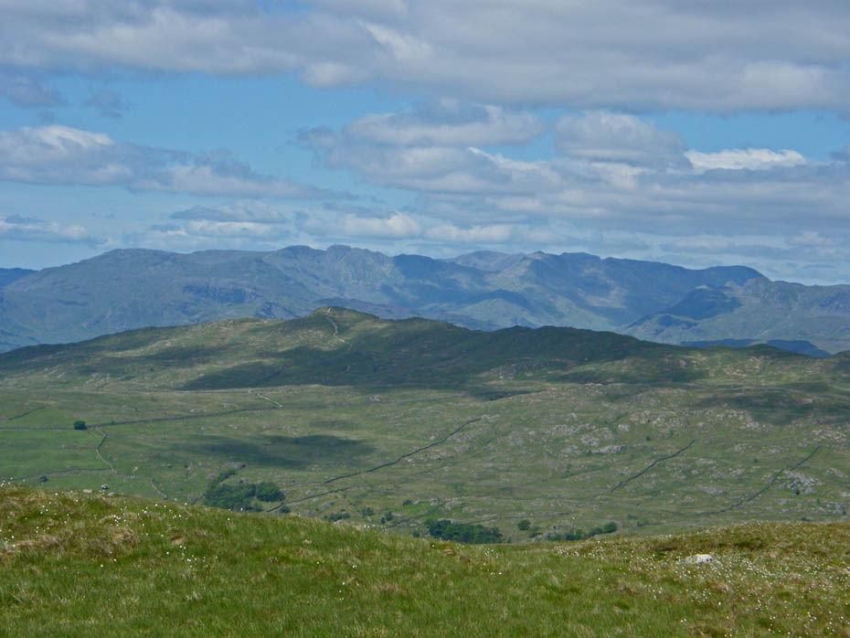
Over Wansfell to high fells.
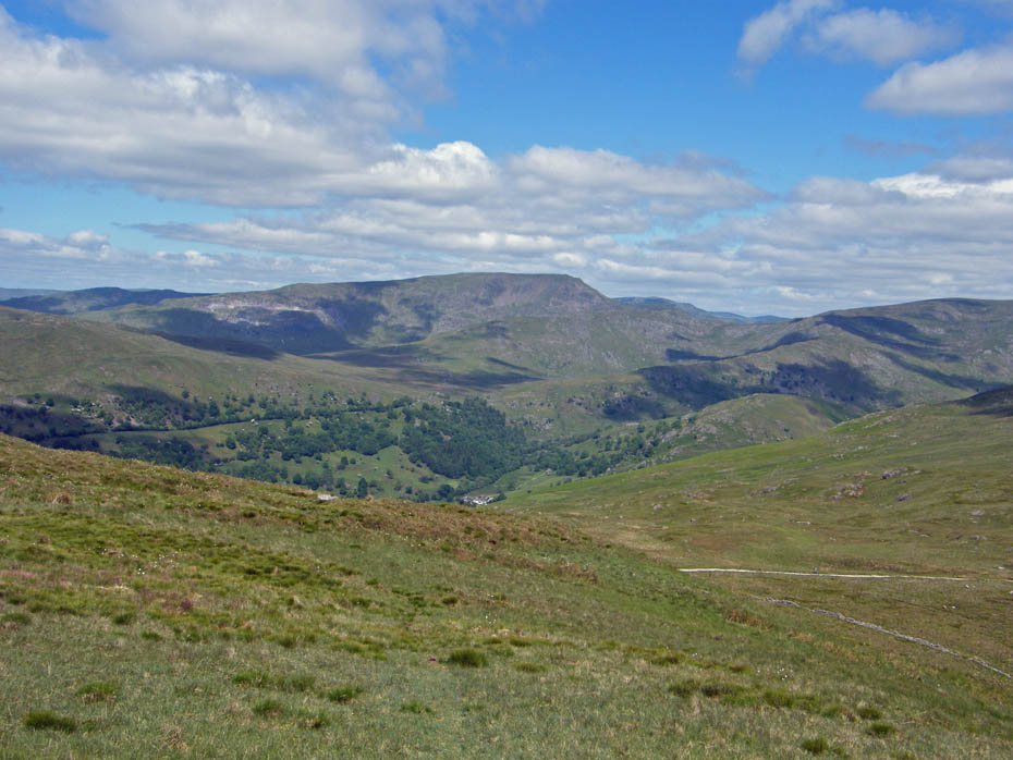
From the summit we dropped down to find a lunch spot overlooking the Garburn Pass.
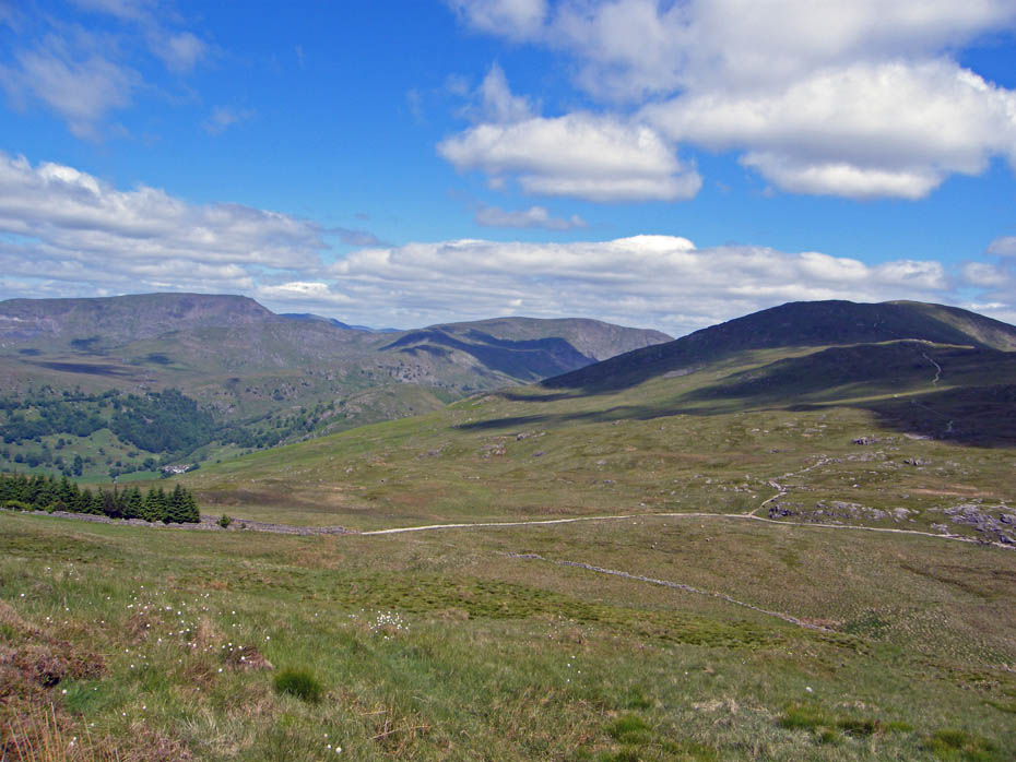
There was plenty happing on Garburn.....although I seem to have missed it here.
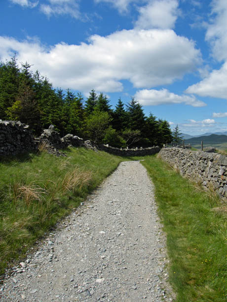
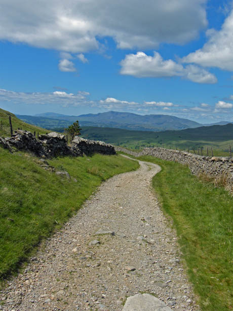
Buttie stop over we descended to Garburn to descend towards Troutbeck.
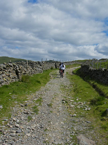
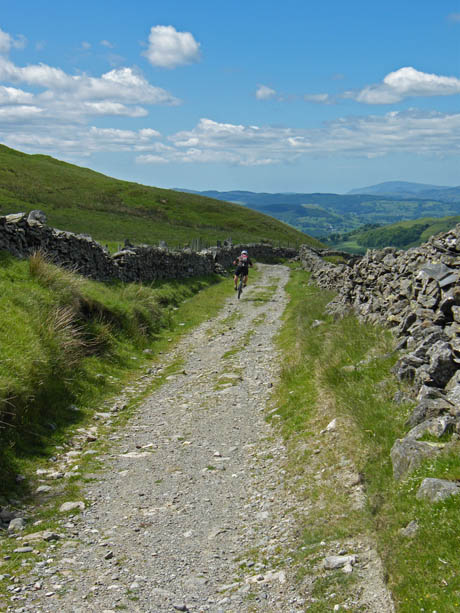
A hard push going up (l) is rewarded by an exciting descent with gravitys help.
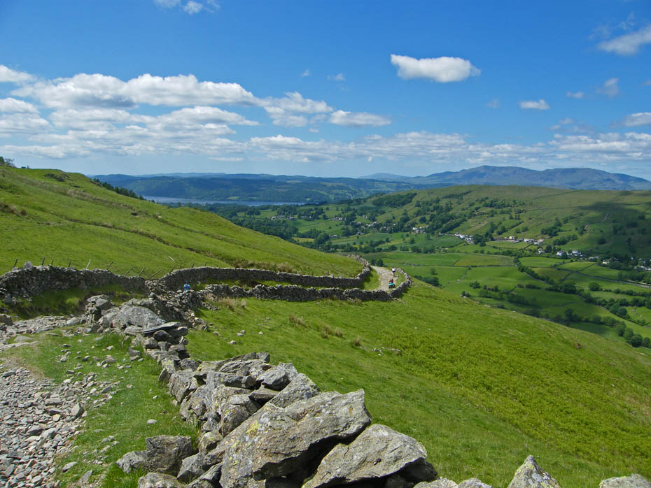
Having not met a soul from leaving the car until reaching Garburn we now met plenty of walkers and bikers.....
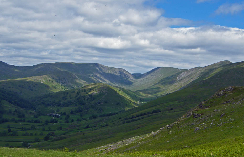
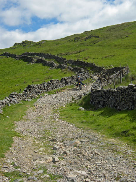
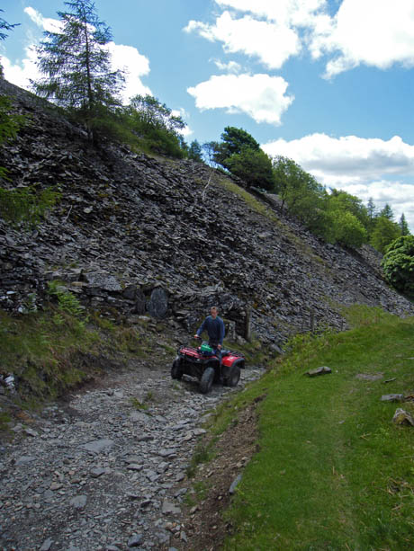
.....also a trial bike and a couple of quad bikes.
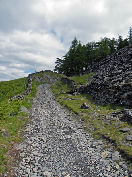
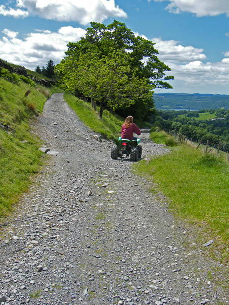
Our original plan was to carry on down Garburn and then along the Longmire Road track but the young lady on the quad bike informed us that there was a mountain bike race due down this path in a about 10 minutes. Not wanting to take part in it we decided to go left and return along the Dubbs Road.
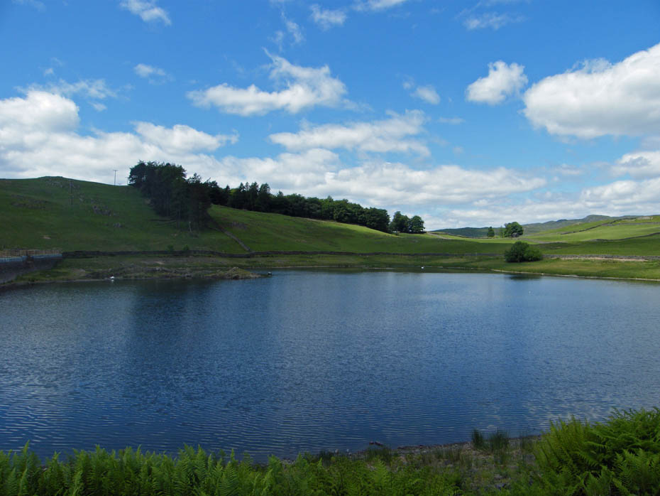
Dubbs Reservoir
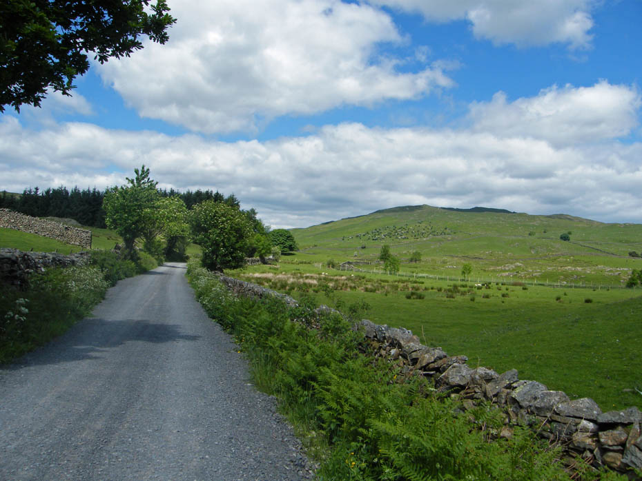
And finally...A look back to Applethwaite Common as we return to the car.
Next Walk: 15th June 2010 - Lake District - A Rydal circular
Last Walk: 10th June 2010 - Yorkshire Dale - Swaledale Meadows
Do you have a Facebook or Twitter account. We post regular updates on both. Just click on either of the links below.
We hope you have enjoyed viewing this walk. If you have any comments please sign our Guestbook or E_Mail us.