| Area: | Lake District | Ascent: | 410feet |
| Walk No: | 406 | Time: | 1hour 45minutes |
| Date: | 16th June 2010 | Parking: | Cleabarrow |
| Distance: | 3.50miles | Weather: | Fine & Sunny -- hazy |
| Route: |
For those of you that are thinking of going onto the hills I would strongly recommend that you read the advice given by the Mountain Rescue organisation of England and Wales. To read this advice, which will open in a new page please click HERE. If you would like to make a donation to the Mountain Rescue organisation which is purely voluntary please click HERE. Please make the time to read the advice page.
I didn't have too much time for walking today. It was Ediths day for visiting her brother and I had planned to go to Dent with my son who had a job planned there in the afternoon. After dropping Edith off at her brothers I made my way to the Lakes but as I went along the promenade at Morecambe I could see that despite it being a bright and sunny morning the clarity of yesterday had disappeared. I first visited Bowness hoping that the haze would burn off and then drove up to Cleabarrow to start the walk.
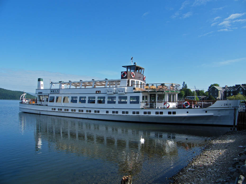
I first drove down to Bowness to give the sun a bit of time to burn of some haze.
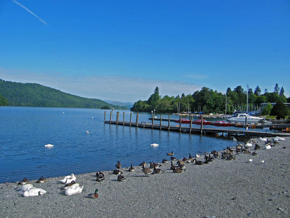
Looking up Windermere from Bowness. Most of the locals were still asleep.
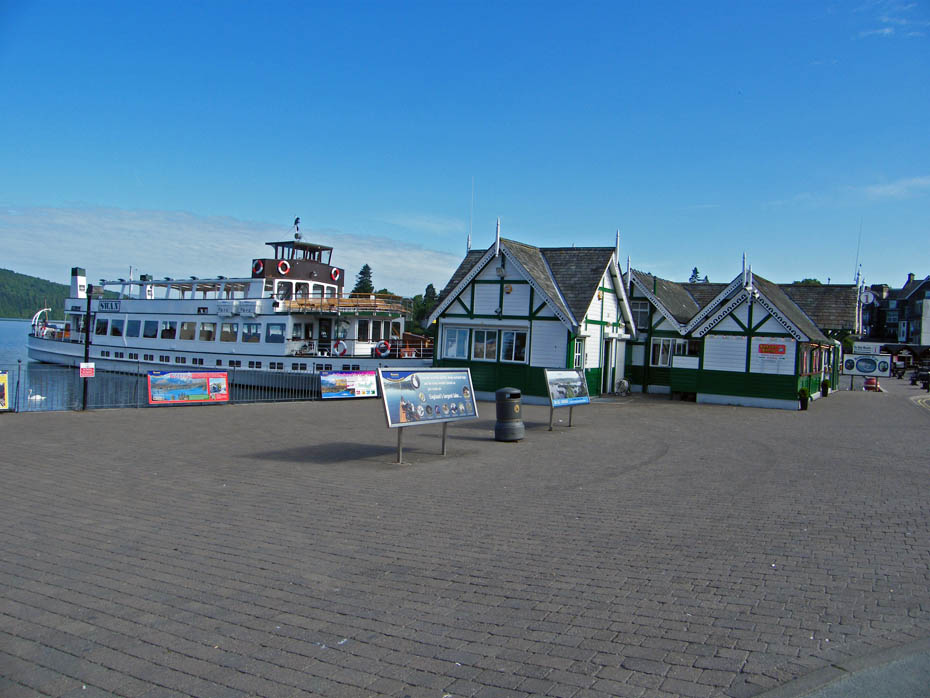
A very quiet waterfront.
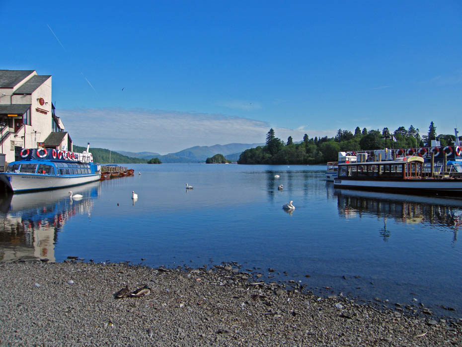
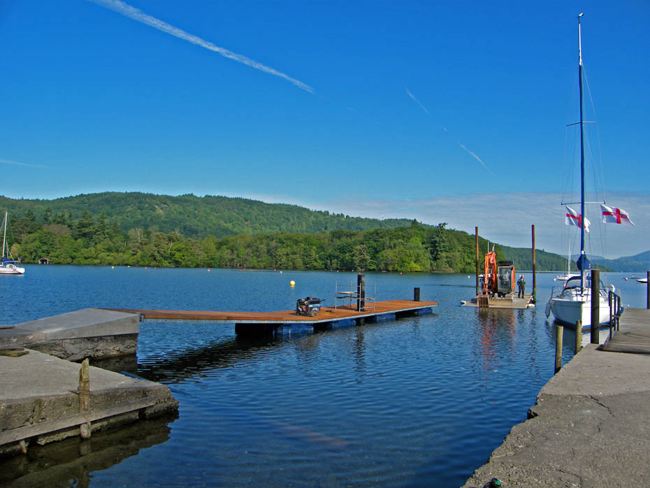
Workmen were busy building a new jetty here.
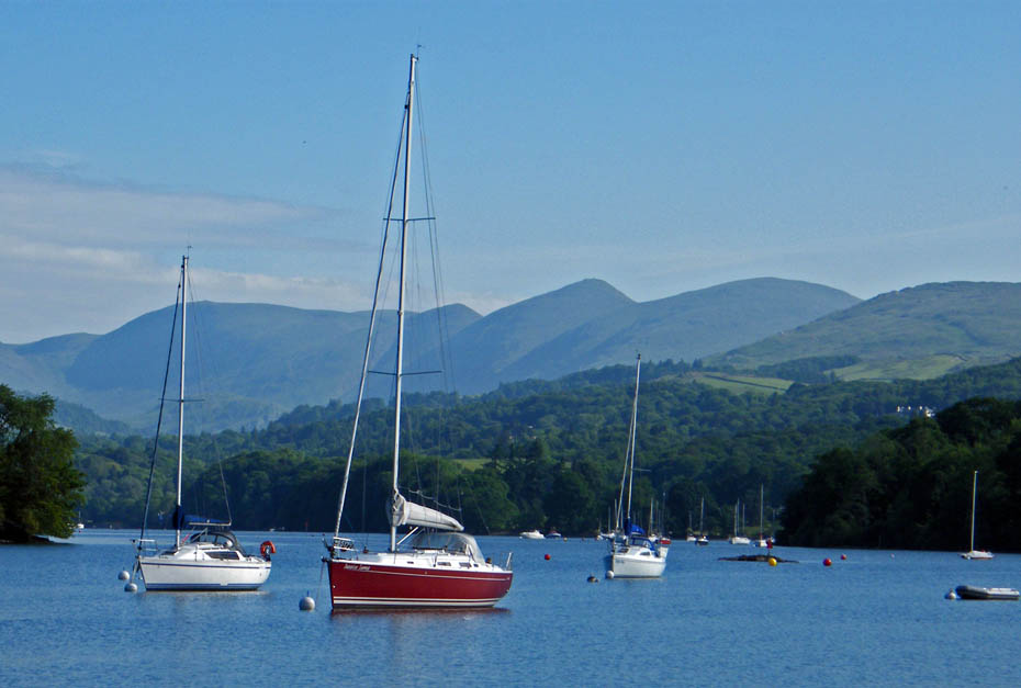
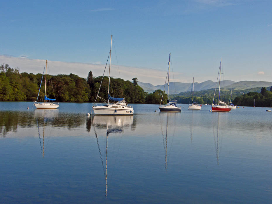
A short walk down to Cockshott Point
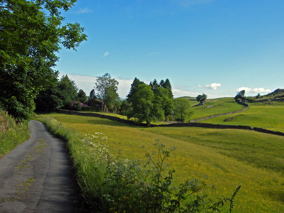
I am now parked on the B5284 at Cleabarrow. My route is along the lane shown.
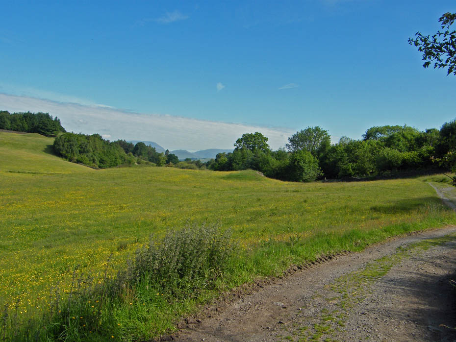
The tarmacced lane soon gives way to an unmade track.
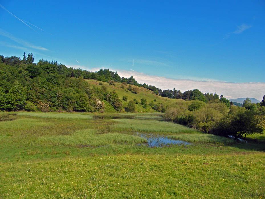
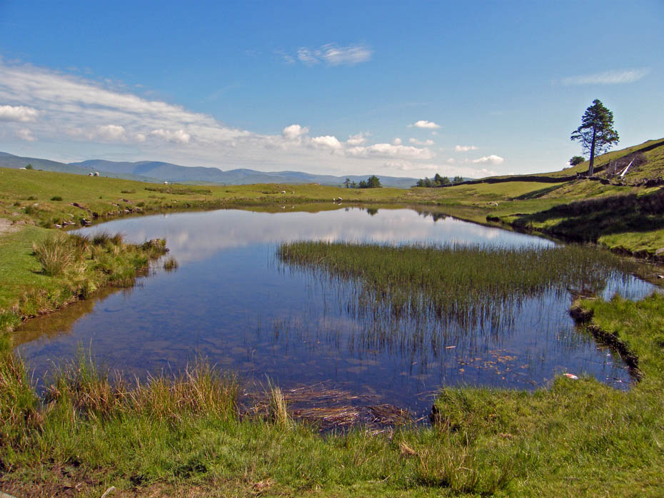
The "new" tarn as almost disappeared after the recent dry spell, but not quite.
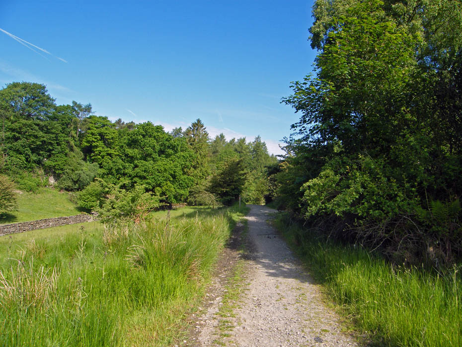
I am on the route of the Dales Way. At the waymarker ahead my path will go off to the right
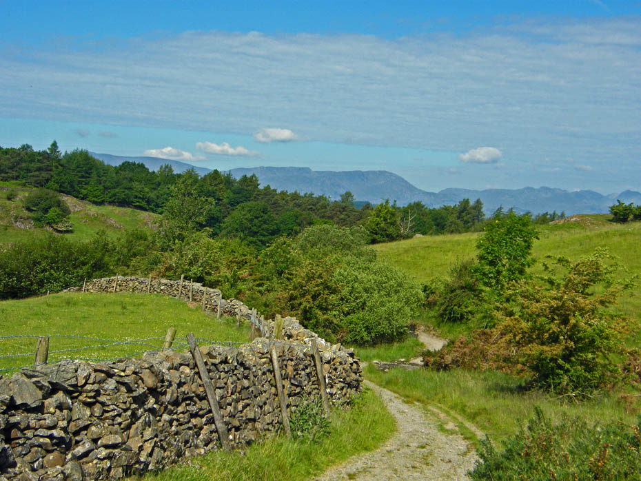
As I gain a little height the Coniston and Langdale fells start to appear. I don't like that band of cloud which looks like a white streak across the blue sky.

Ahead the path continues to rise gently. The Dales Way will turn off to the right at the first trees but my way is ahead.
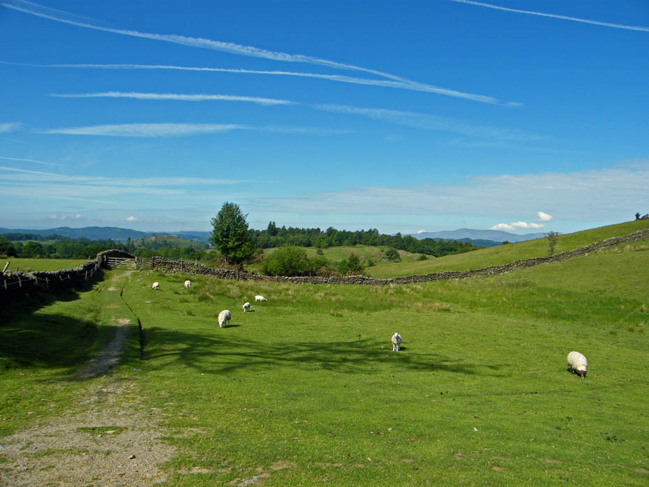
A look back
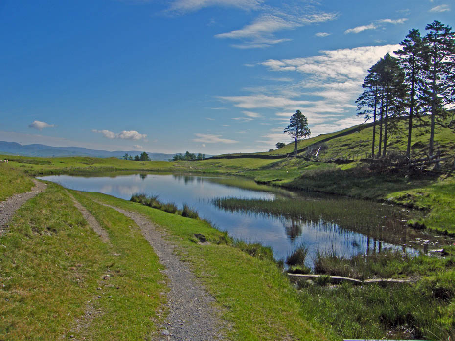
School Knott Tarn as it now seems to be called.
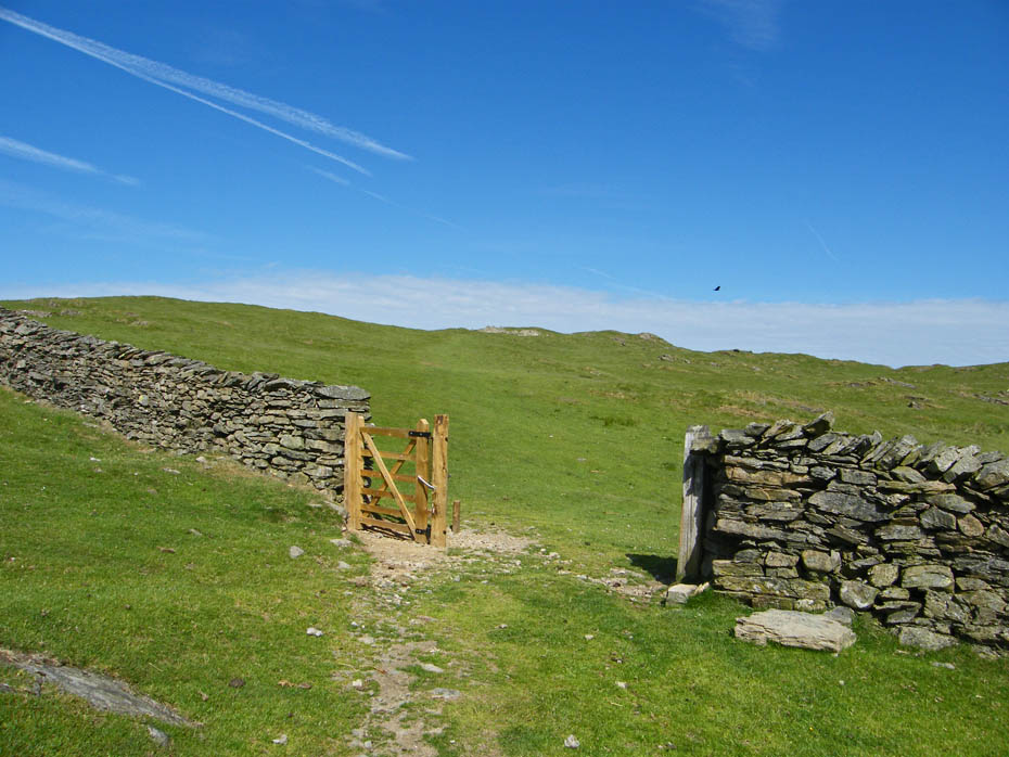
From the tarn I made my way up School Knott....The gate as been renewed since I was last here.
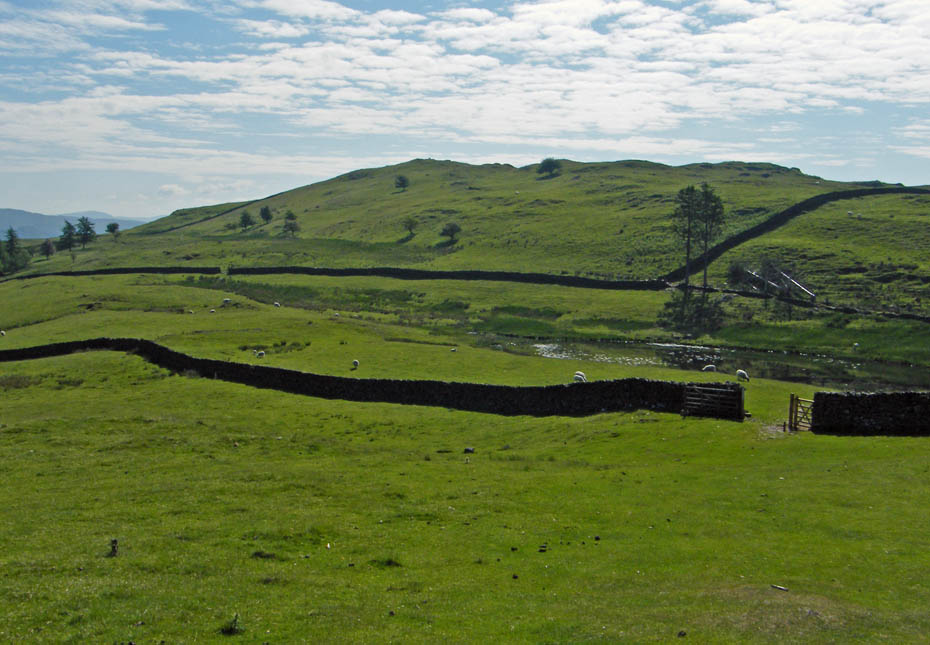
A look back to Grandsire which I will visit next.
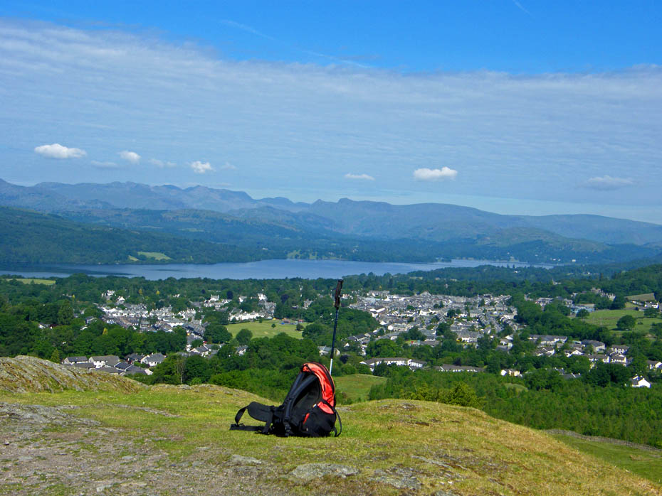
Not even a solitary stone marks the summit platform but who cares with these views even on an hazy day.
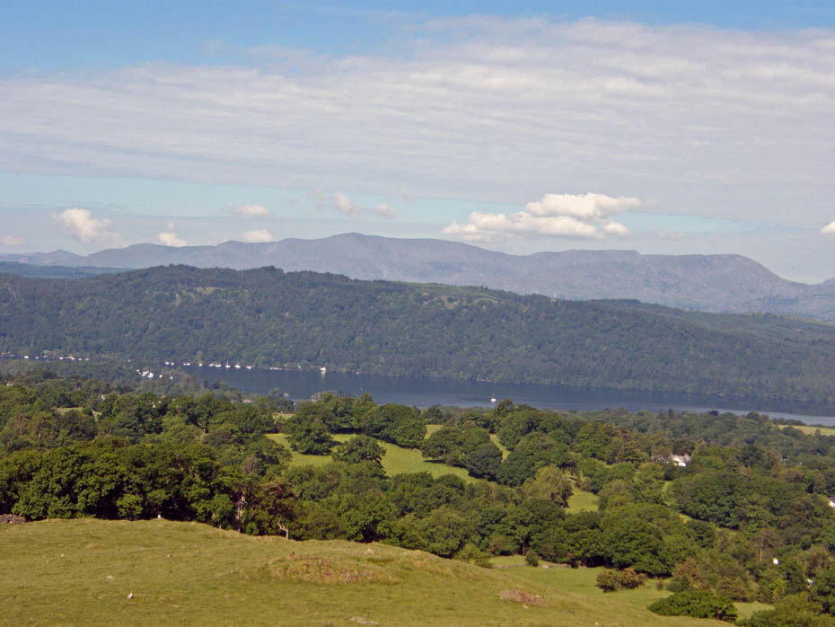
That white streak is still over the Conistons
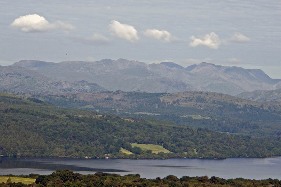
The Crinkle Crags and Bowfell with the big fella behind.
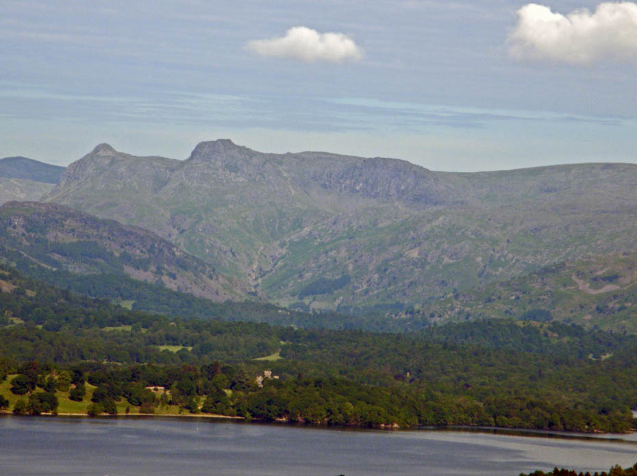
Langdale Pikes
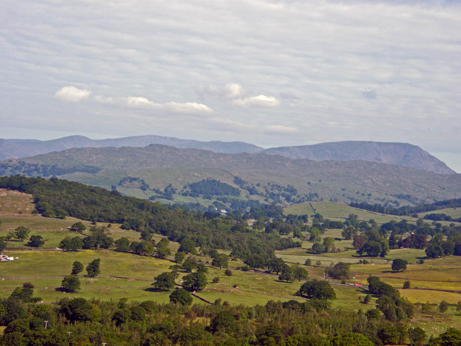
Looking over Wansfell to Red Screes
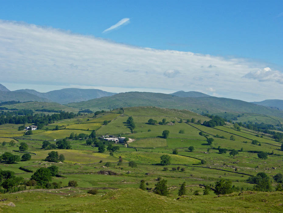
Looking over Banner Rigg to Sour Howes and Sallows with the Far Eastern fells behind them.
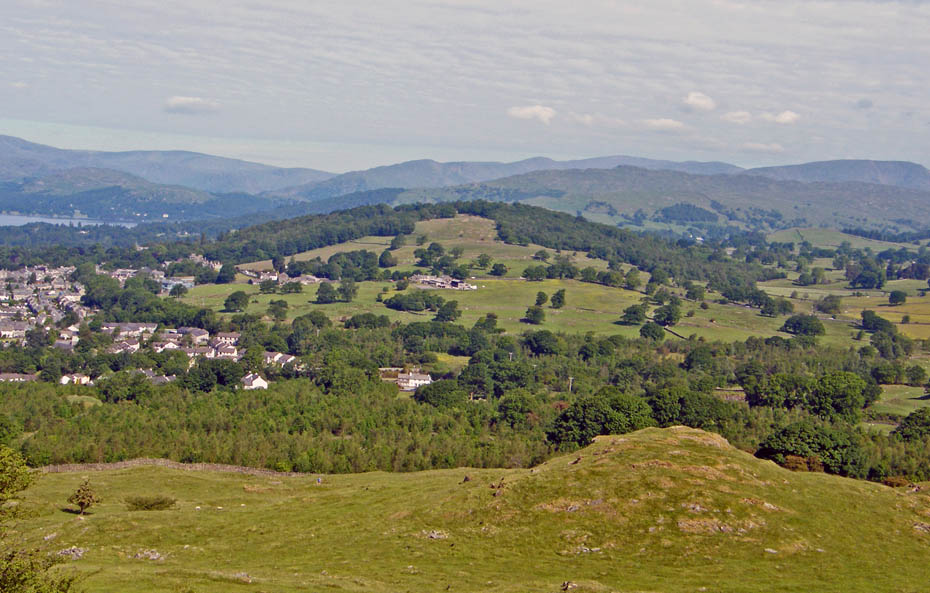
Orrest Head, where it all began for a certain AW.
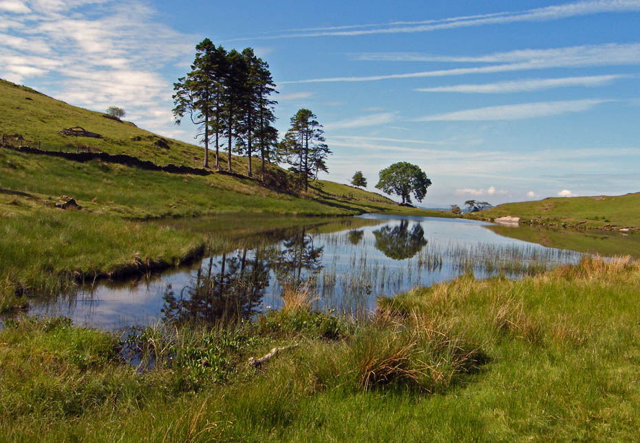
I descended to the tarn before making my way to Grandsire.
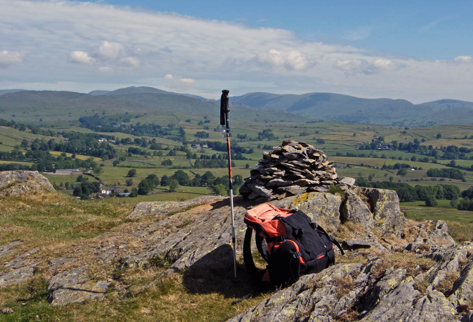
Grandsire summit cairn looking over to the Kentmere fells
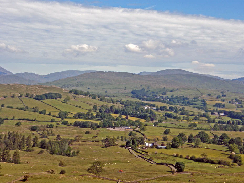
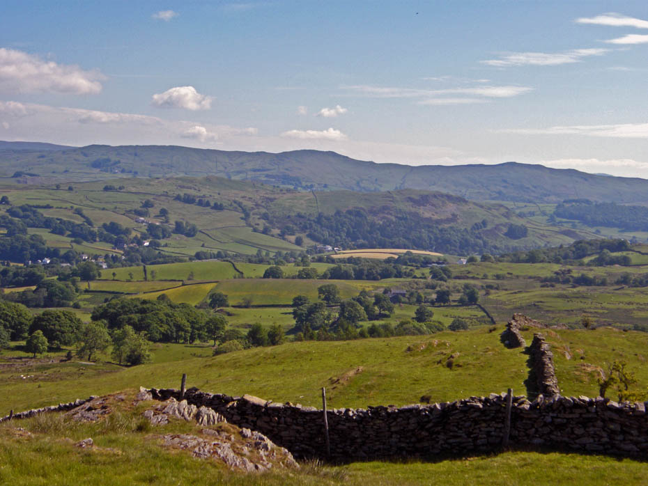
Looking over Reston Scar towards Brunt Knott
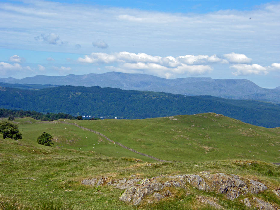
Coniston fells over School Knott
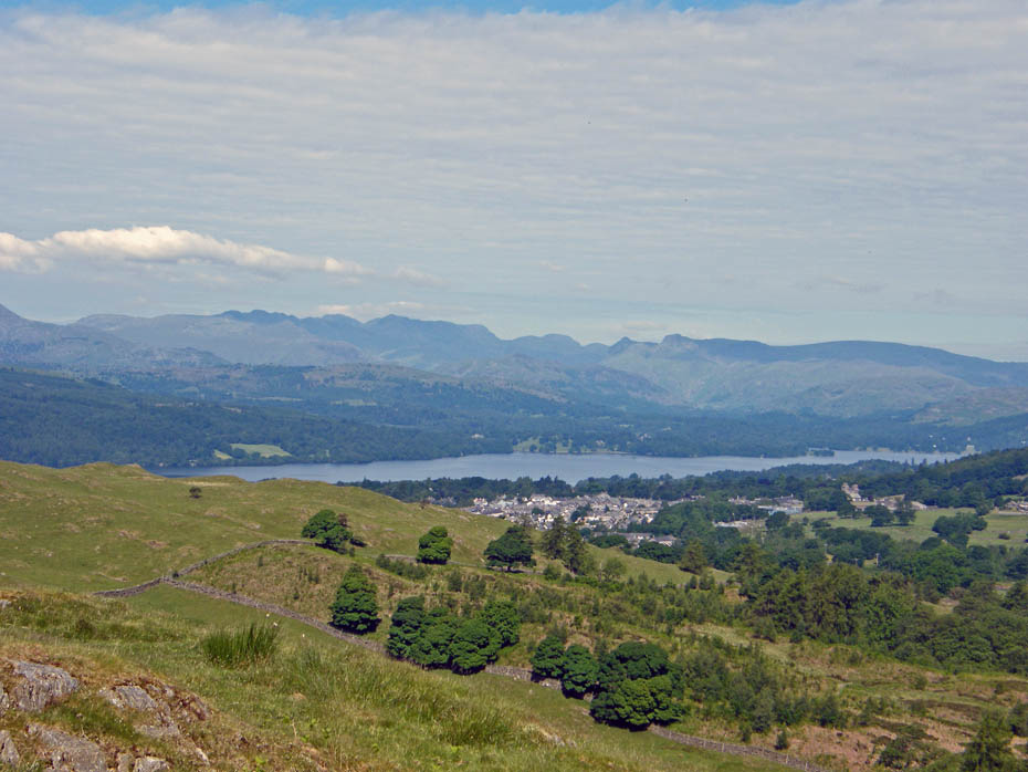
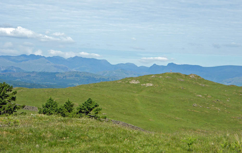
Apart from at Bowness this was the only person I saw on the walk.
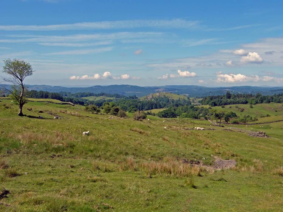
Making my way down from Grandsire
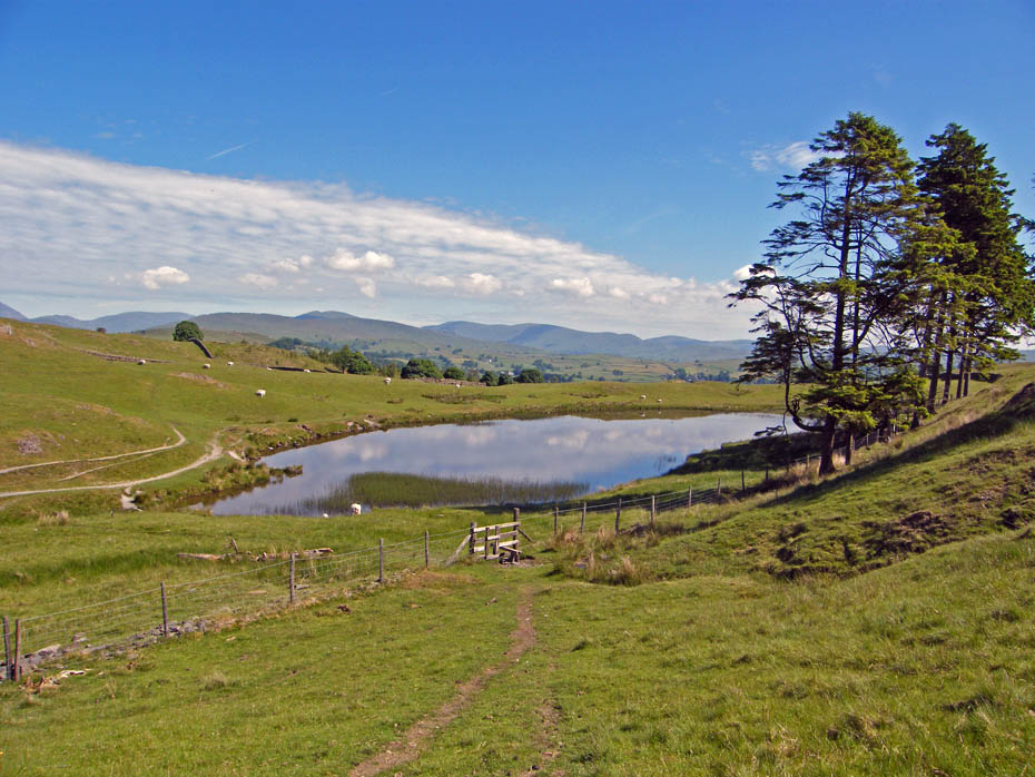
Back at the tarn.
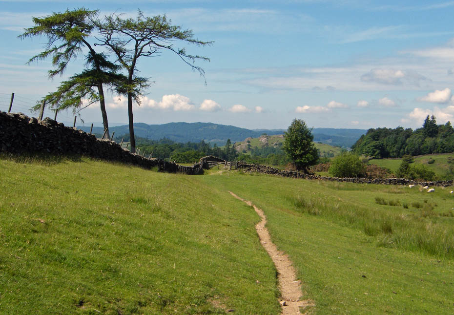
Retracing my footsteps to Cleabarrow.
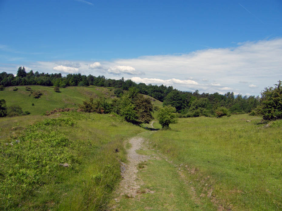
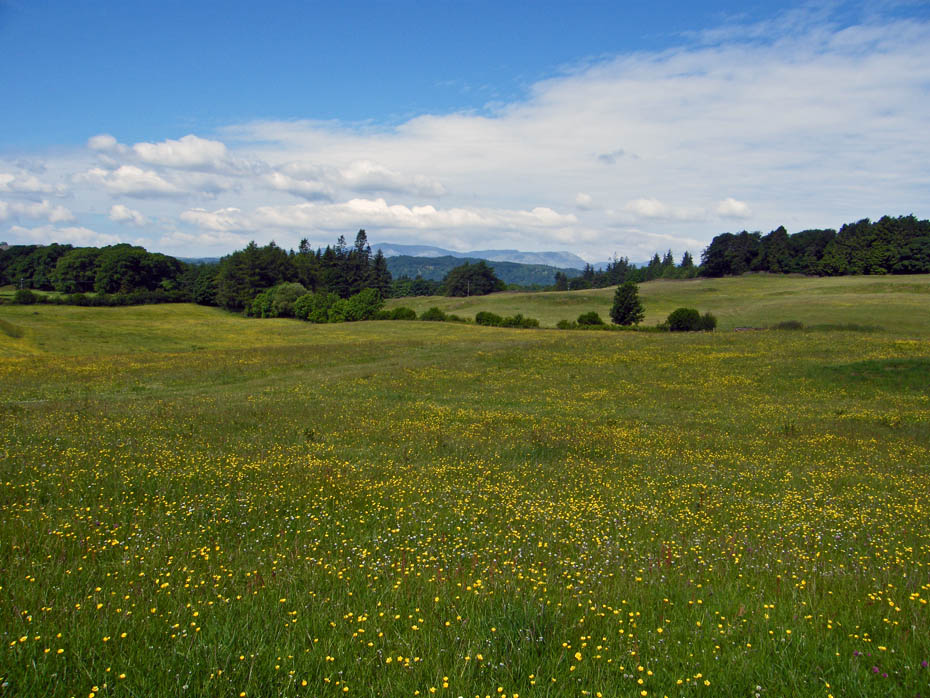
Colourful meadows
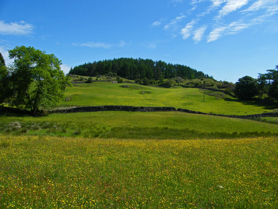
And finally.....almost back at the car.
Next Walk: 17th June 2010 - Lake District - Alcock Tarn
Last Walk: 15th June 2010 - Lake District - A Rydal circular
Do you have a Facebook or Twitter account. We post regular updates on both. Just click on either of the links below.
We hope you have enjoyed viewing this walk. If you have any comments please sign our Guestbook or E_Mail us.