
| Area: | Local | Ascent: | 200feet |
| Walk No: | 416 | Time: | 2hours 15minutes |
| Date: | 5th July 2010 | Parking: | Crook O'Lune picnic site near Caton |
| Distance: | 4.50miles | Weather: | Fine but cloudy, a little sun |
| Route: |
For those of you that are thinking of going onto the hills I would strongly recommend that you read the advice given by the Mountain Rescue organisation of England and Wales. To read this advice, which will open in a new page please click HERE. If you would like to make a donation to the Mountain Rescue organisation which is purely voluntary please click HERE. Please make the time to read the advice page.
After a poor nights sleep I awoke with a little tightness across my chest. I also had a few pains but I think these were probably due to a bout of coughing during the night. I didn't want to do anything that would make me breathe heavy so we plumped for this short riverside walk from the Crook O'Lune.
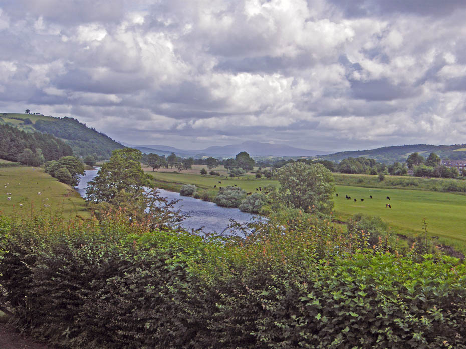
It wasn't the best of days as we parked up at the Crook O'Lune picnic site but looking up the beautiful Lune Valley Ingleborough was still visible.
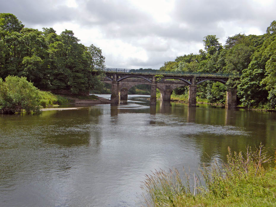
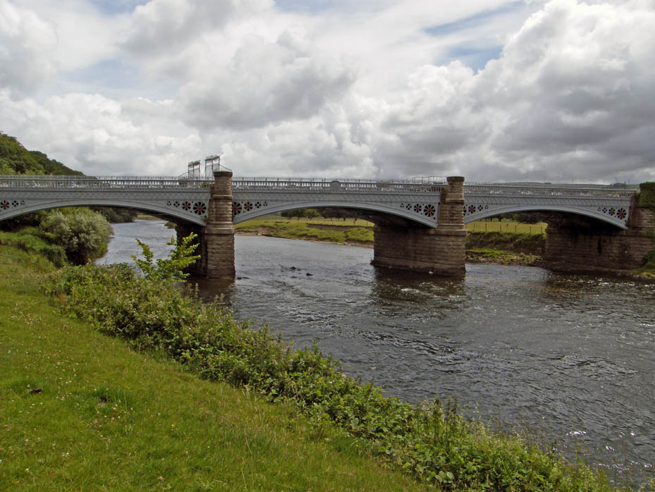
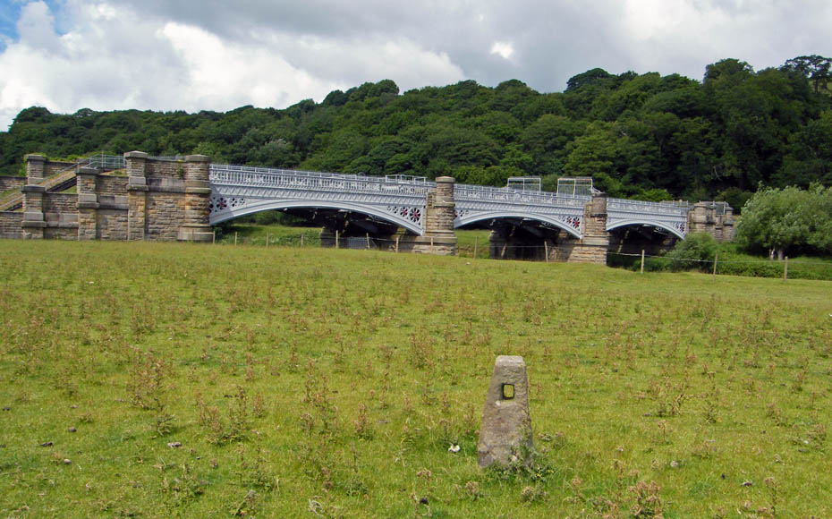
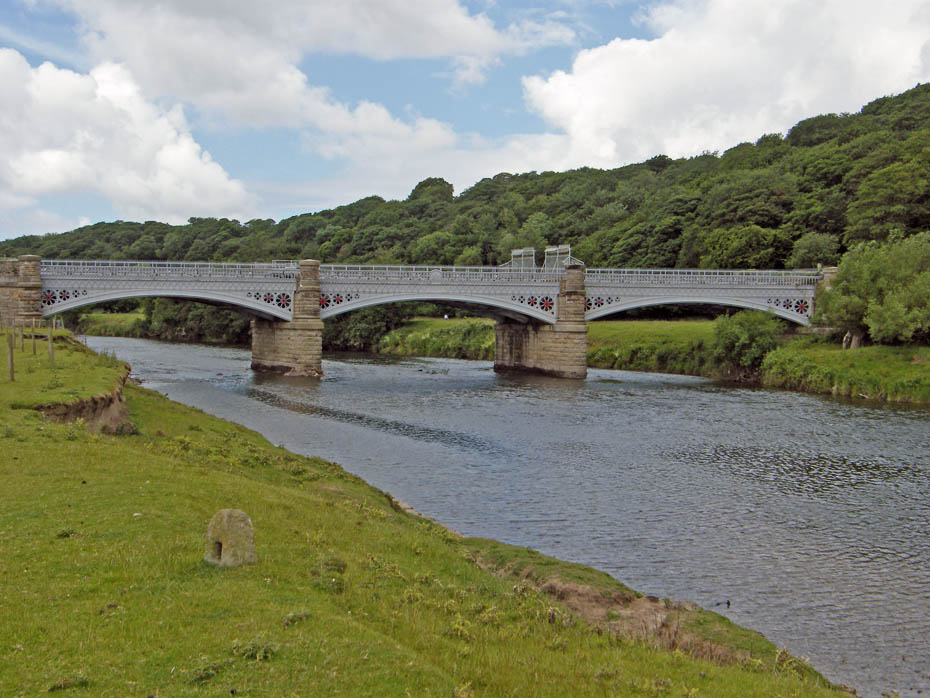
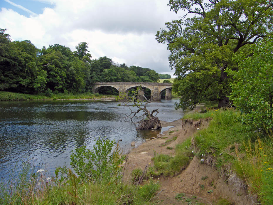
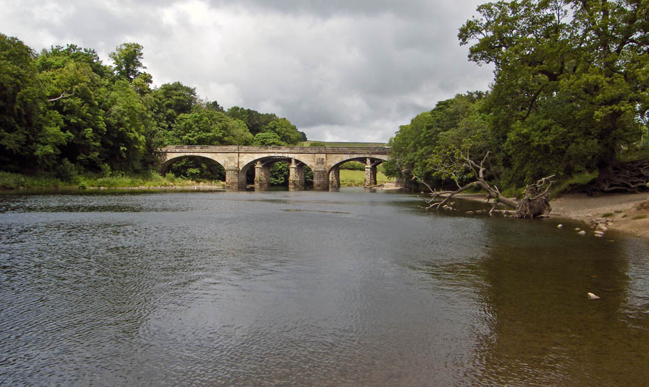
We walked down to the western bank to walk upriver. A look back to the old railway bridge with the road bridge behind.
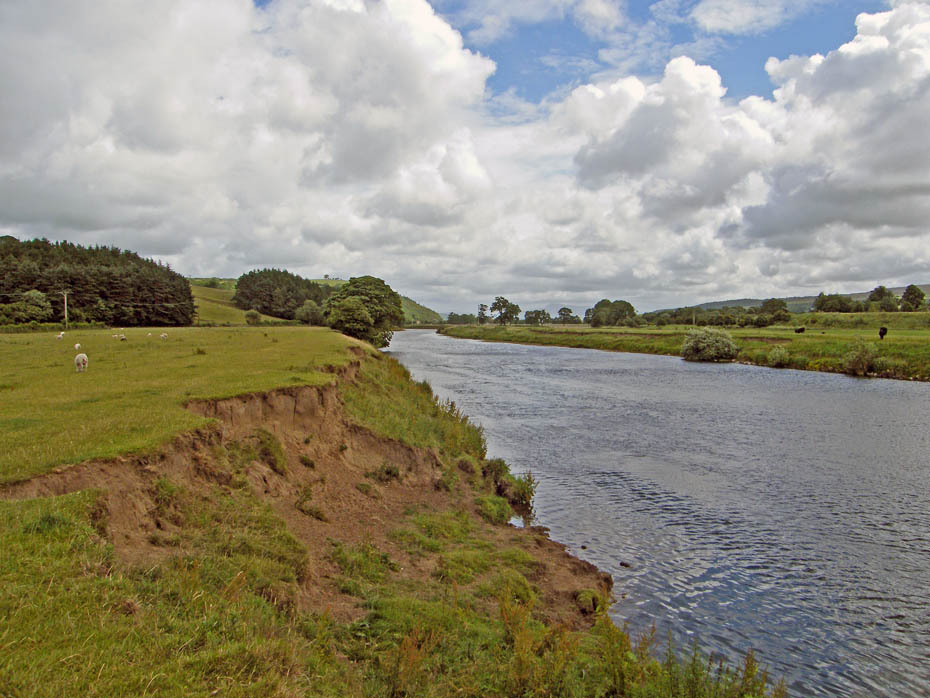
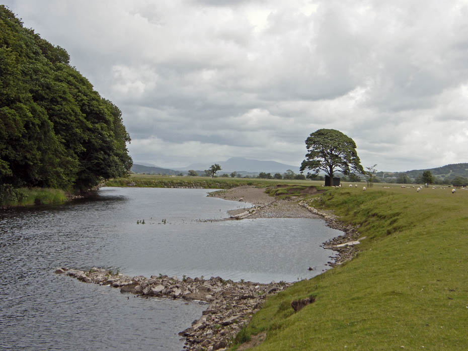
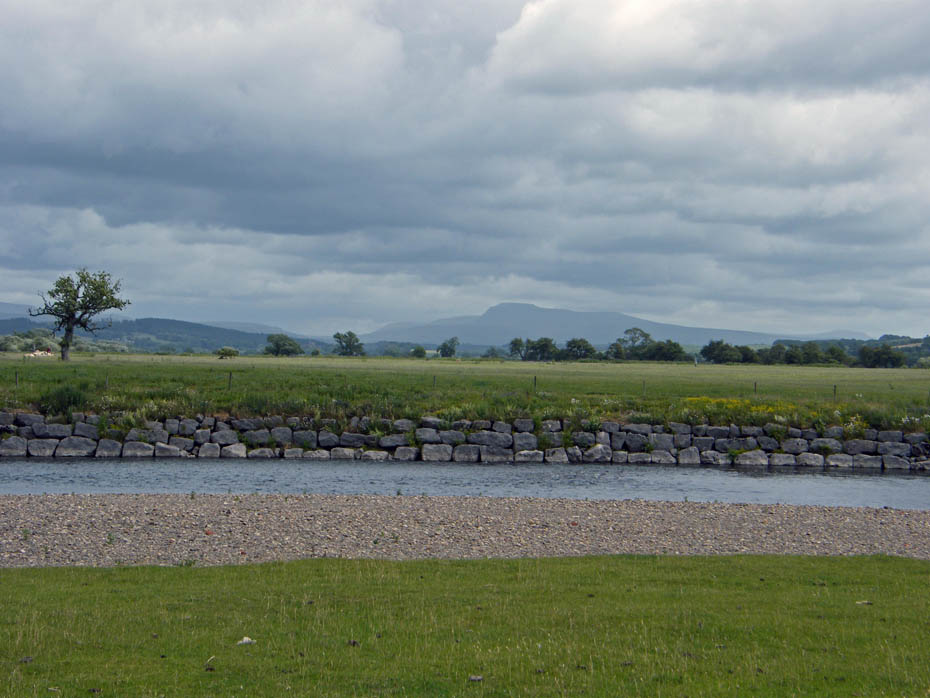
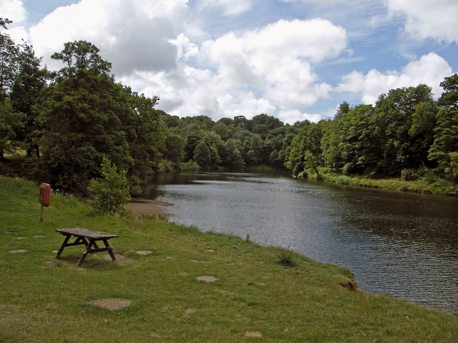
There is a little more water in the river than of late but it is still quite low.
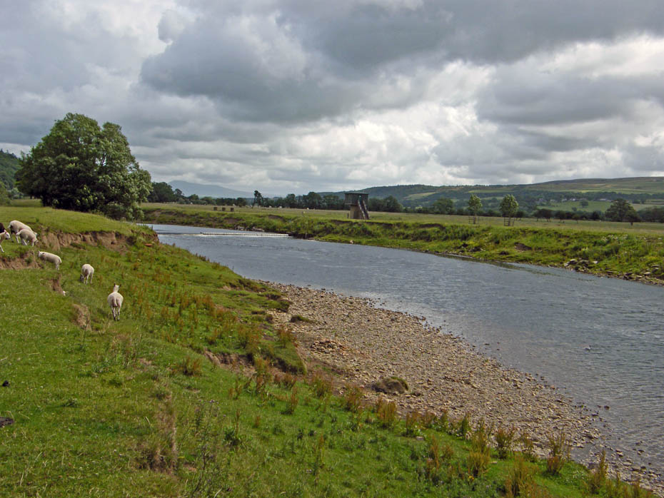
Approaching the weir and the flow monitoring station.
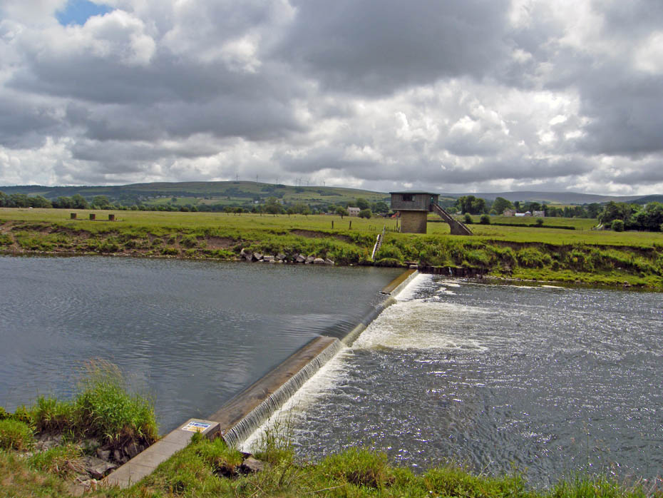
Not much coming over the weir.
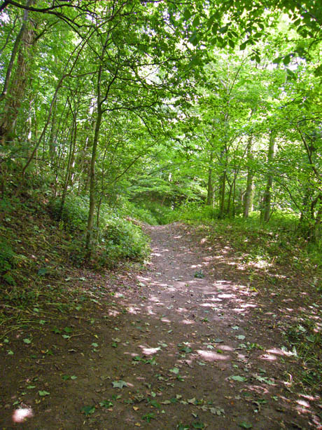
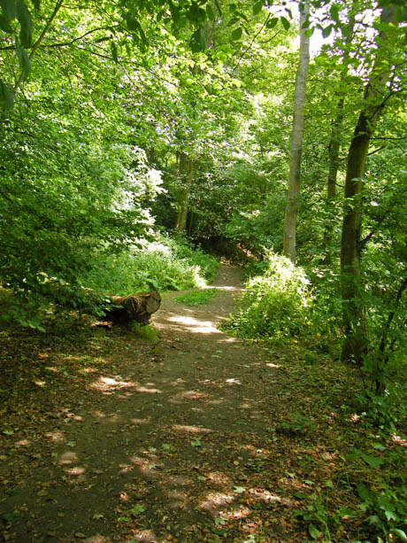
A short section through the woods...
...takes us to the wonderful structure carrying the Thirlmere aqueduct over the River Lune.
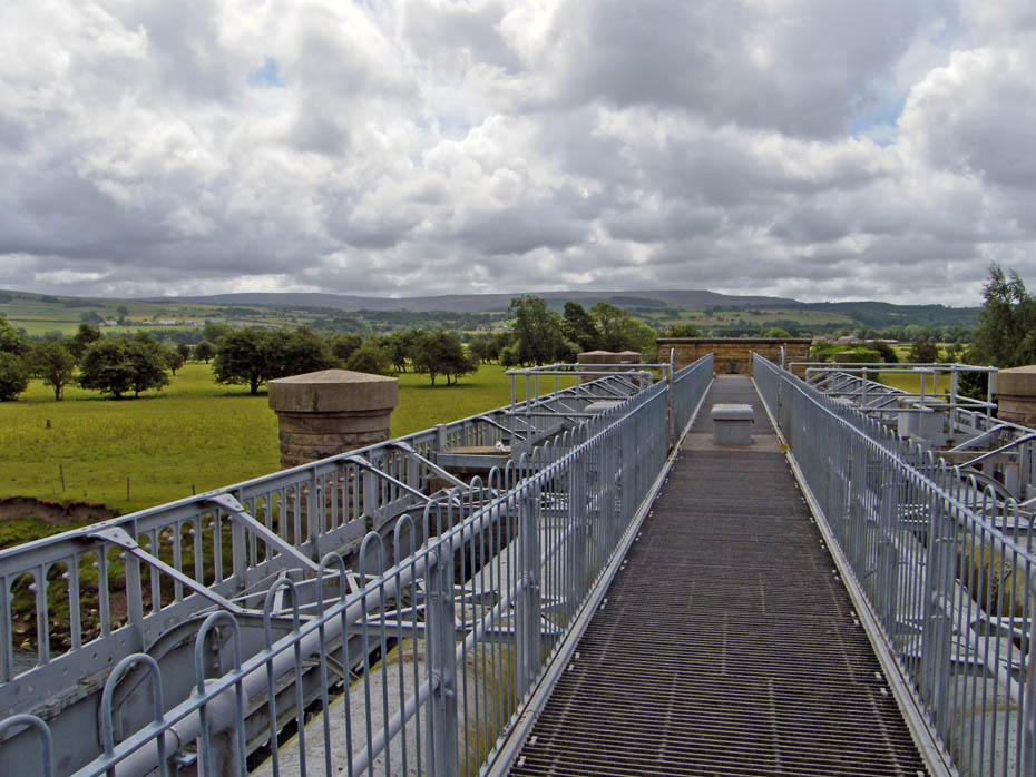
Crossing the pipe bridge with Clougha Pike ahead.
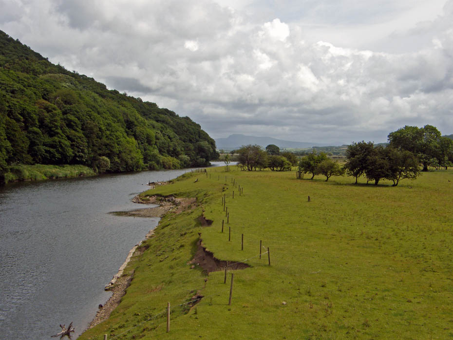
A look upriver from the pipe bridge.
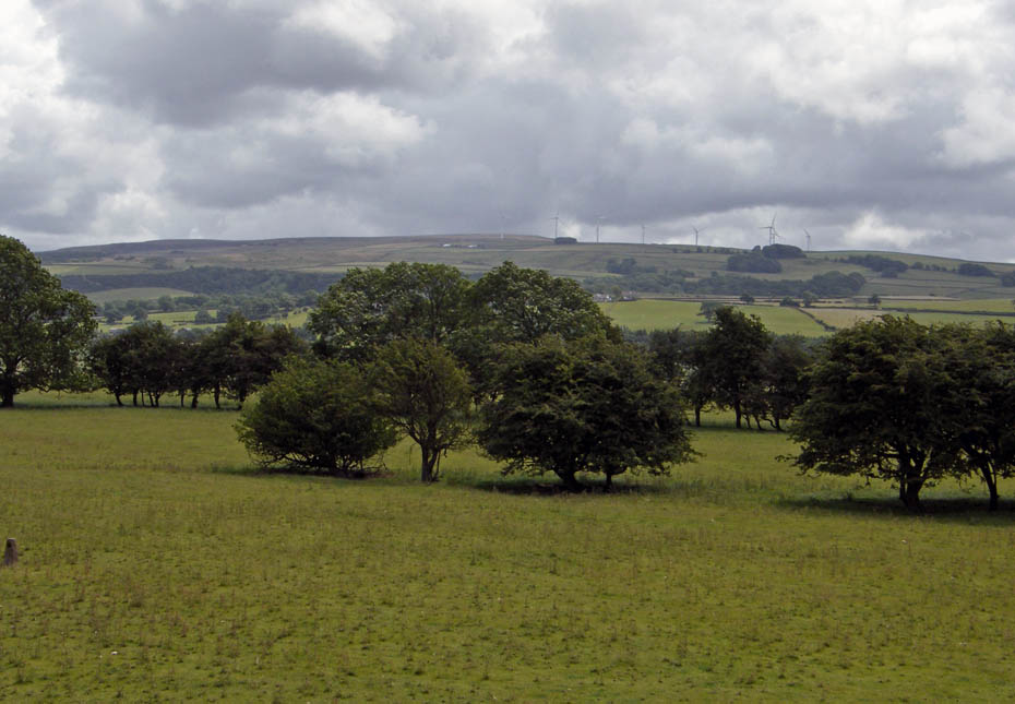
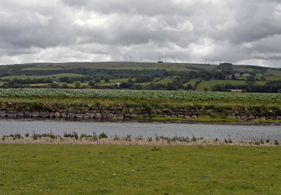
Caton Moor with its windfarm.
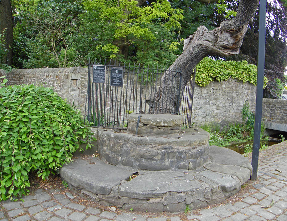
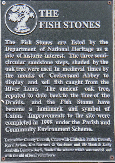
There are a number of these stones near the pipebridge. I am not sure what was there purpose I seem to remember them being associated with monks and fishing fights but I'm probably wrong.
What a fine structure the Waterworks Bridge is. Built in an age when pride in your work was not to be sneered at.
We continued to follow the river but now on the other bank.
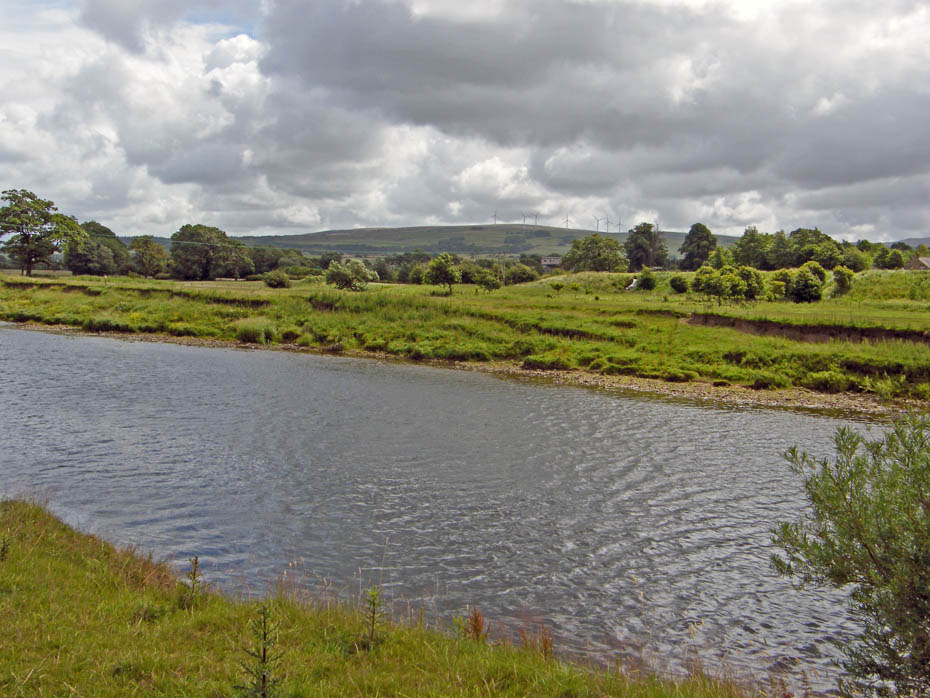
Eventually we came to the point where the river does an inverted U bend which will head us back towards the car. The banks along this stretch have been reinforced to try and control its route.
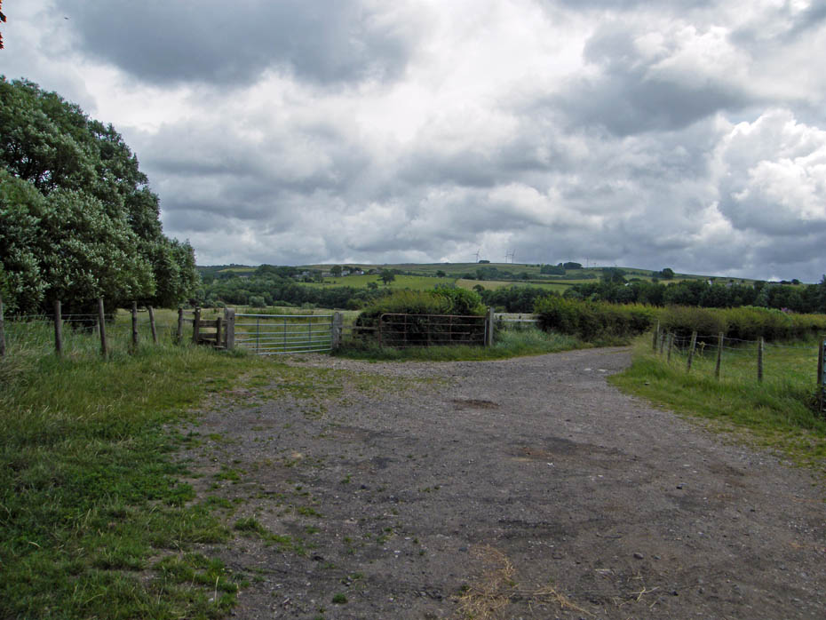
A choice of paths....left to follow the river a little further before exiting onto the cycleway or right down the lane to join the cycleway nearer Caton......it was right!
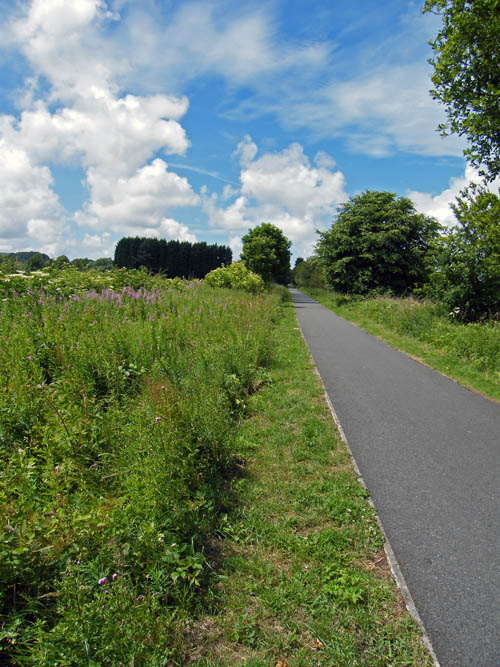
The cycle-track uses the bed of the old railway line and runs right into Lancaster.
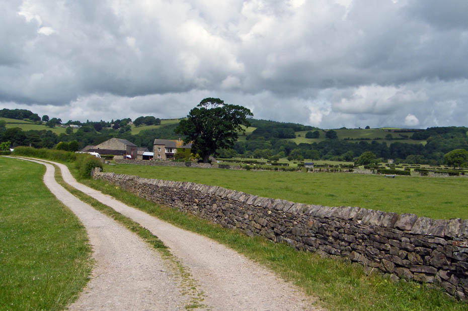
Passing by Ellers Farm with the slopes of Halton Park behind.

We left the cycle-track to enter the village of Caton.
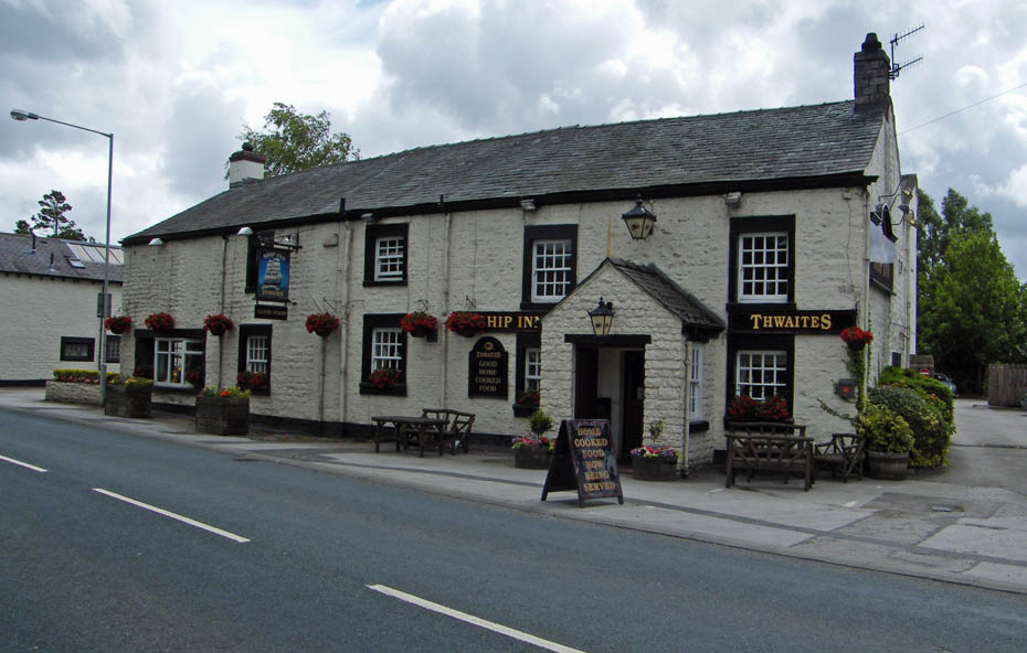
A "should we" moment but resisted in favour of a visit to Woodies at the end of the walk.
From the village we walked down to the Crook O'Lune

And finally....from here we returned to the car park and Woodies snack bar.
Next Walk: 8th July 2010 - Lake District - Scout Scar from Helsington Church
Last Walk: 3rd July 2010 - Lake District - Whit Fell + 3 from the Corney Fell road
Do you have a Facebook or Twitter account. We post regular updates on both. Just click on either of the links below.
![]()

We hope you have enjoyed viewing this walk. If you have any comments please sign our Guestbook or E_Mail us.
