
| Area: | Lake District | Ascent: | 830feet |
| Walk No: | 435 | Time: | 3hours |
| Date: | 21st August 2010 | Parking: | Tarn Hows NT car park |
| Distance: | 4.75miles | Weather: | Cloudy with some sun. Breezy |
| Route: |
For those of you that are thinking of going onto the hills I would strongly recommend that you read the advice given by the Mountain Rescue organisation of England and Wales. To read this advice, which will open in a new page please click HERE. If you would like to make a donation to the Mountain Rescue organisation which is purely voluntary please click HERE. Please make the time to read the advice page.
It was an earlyish start this morning as Edith had to be home for mid-afternoon. A mixture of cloud and sun on the walk with quite a strong breeze on the summit of Black Fell.
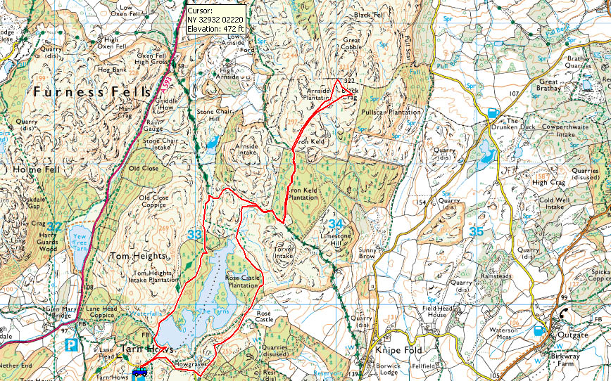
Route Map
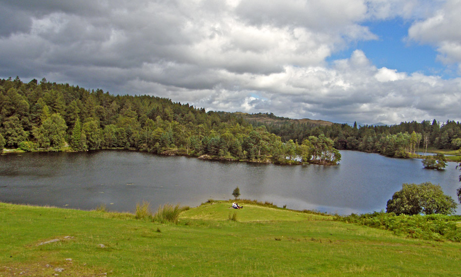
There were just a couple of cars in the car park as we arrived.
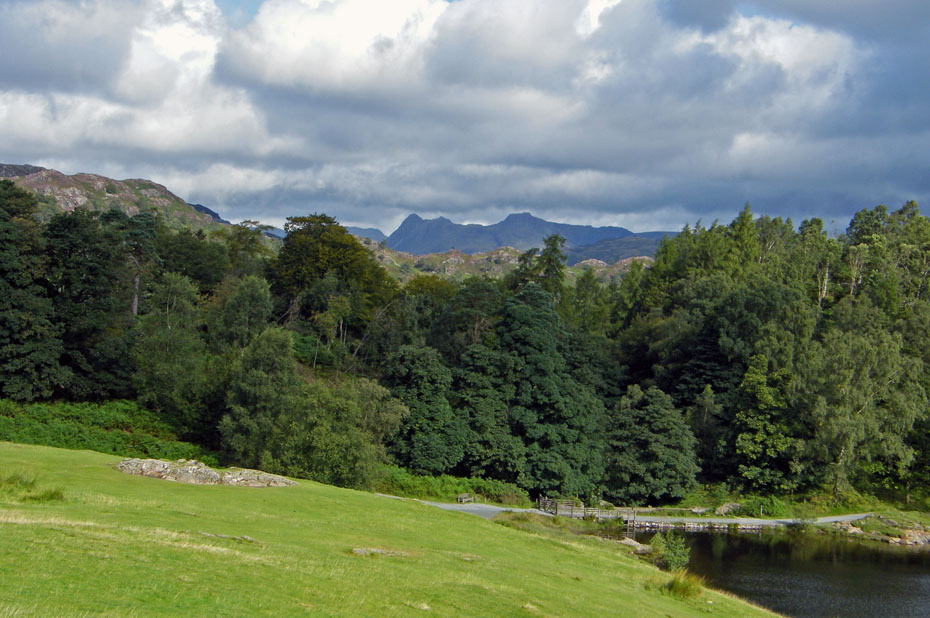
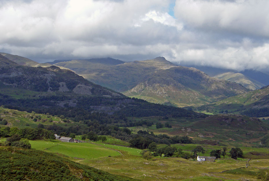
Dark Langdales over Tom Heights as we make our way to Howgraves.
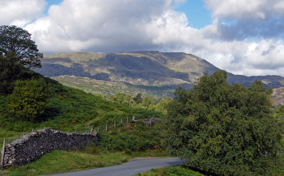
Wetherlam in sun and shadows.
The Coniston Fells from Howgraves.
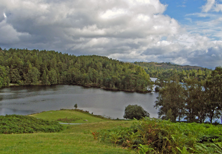
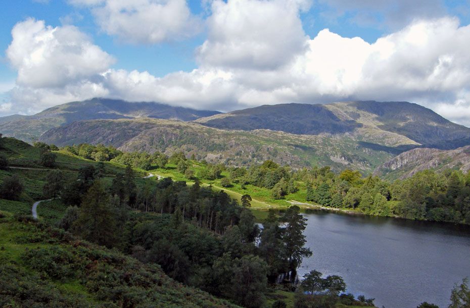
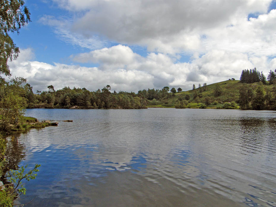
Looking along the tarn to Eastern and Far Easter fells.
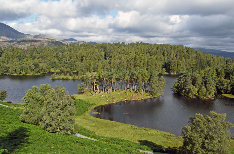
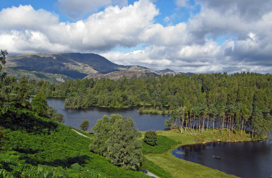
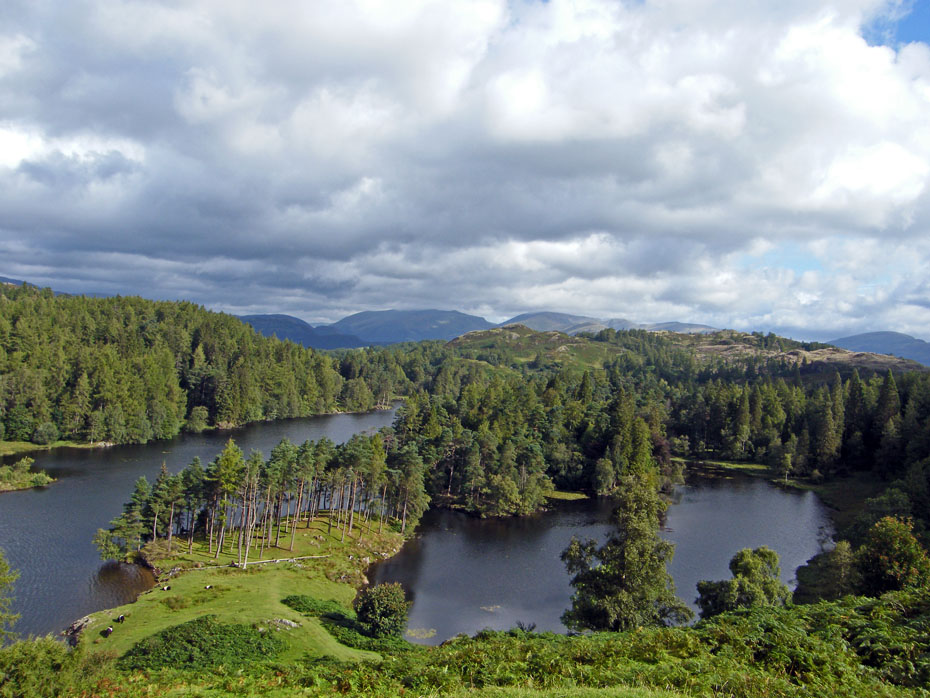
From Howgraves we made our way towards the head of the tarn....
....from where we took a path leading up to the lane which runs from High Cross to Knipe Fold.

A look back as we reach the lane where a right turn will take us to.....
.....the entrance to the Iron Keld plantation.
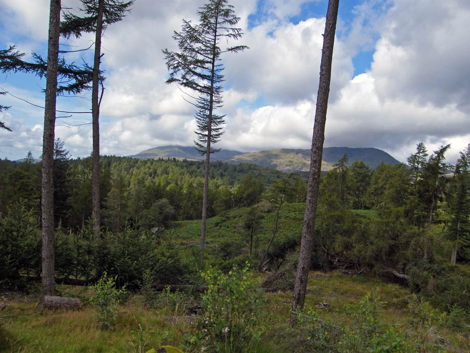
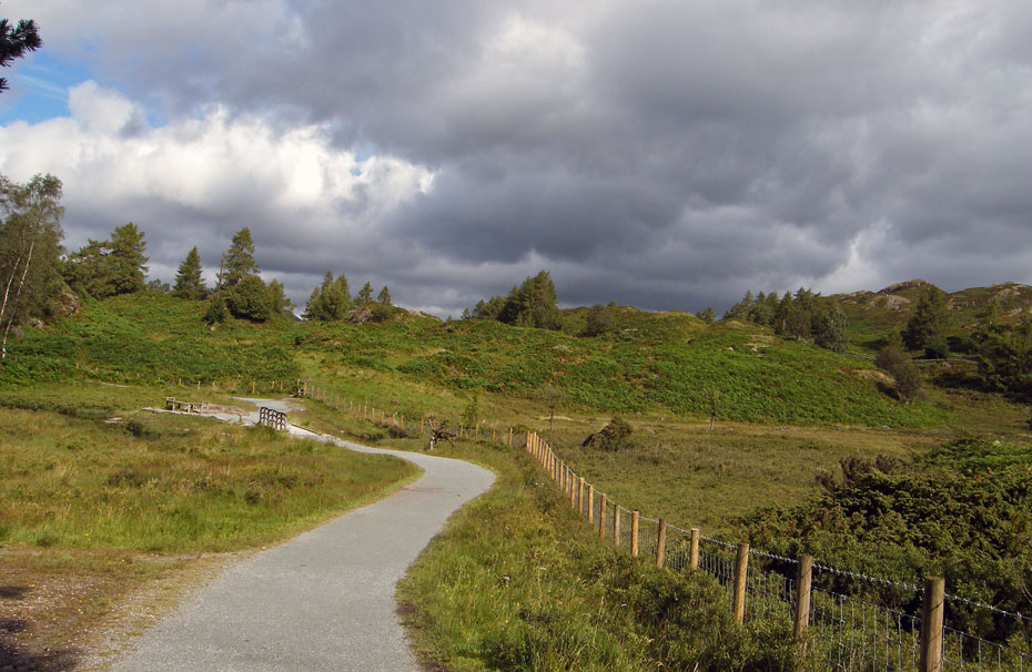
The undergrowth is fast returning to Iron Keld after the de-forestation some years back.
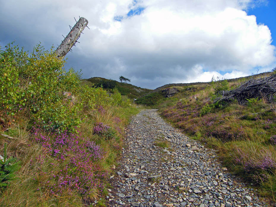
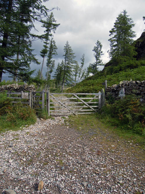
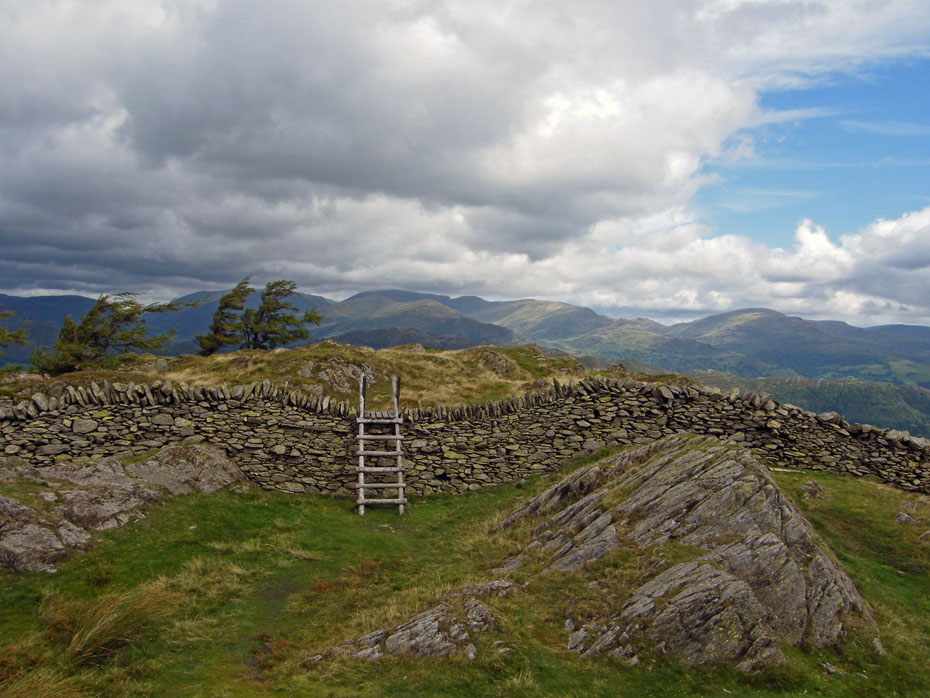
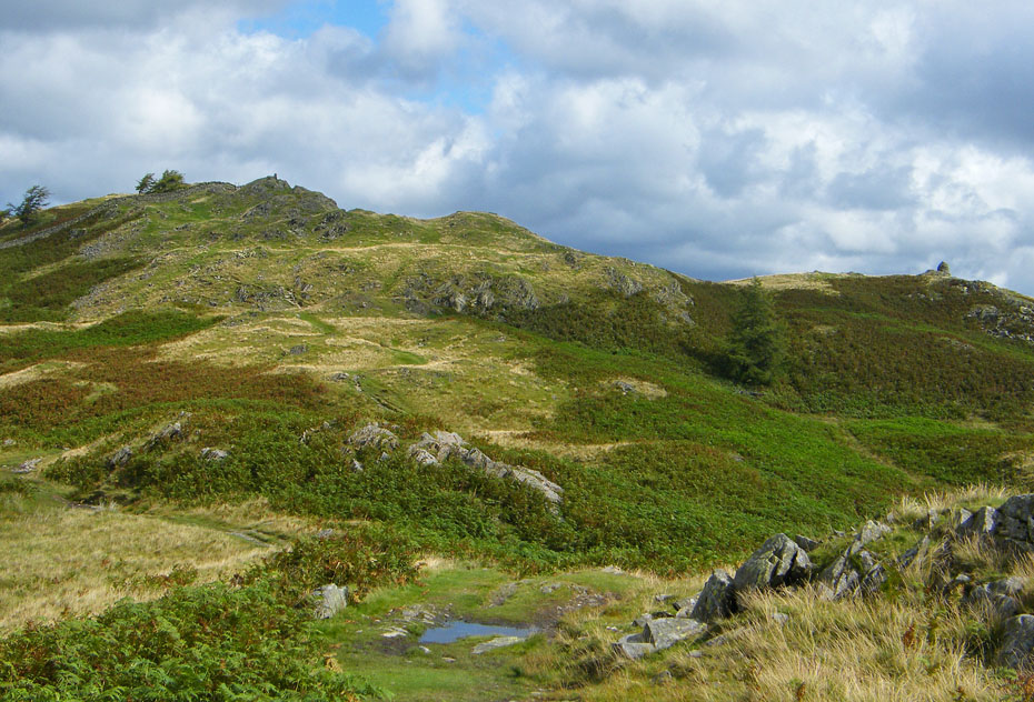
Almost at the top of Iron Keld now, where we will go through a gate and turn sharp right up the fellside.
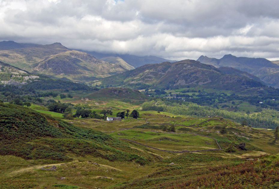
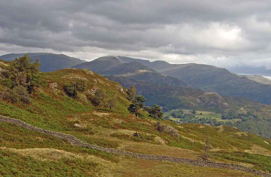
The views from Black Crag are magnificent on the right day. Unfortunately we don't appear to have that today but things can alter in a few minutes.
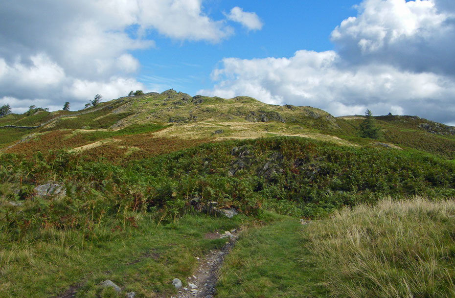
The summit comes into view along with the SE Cairn on the far right.
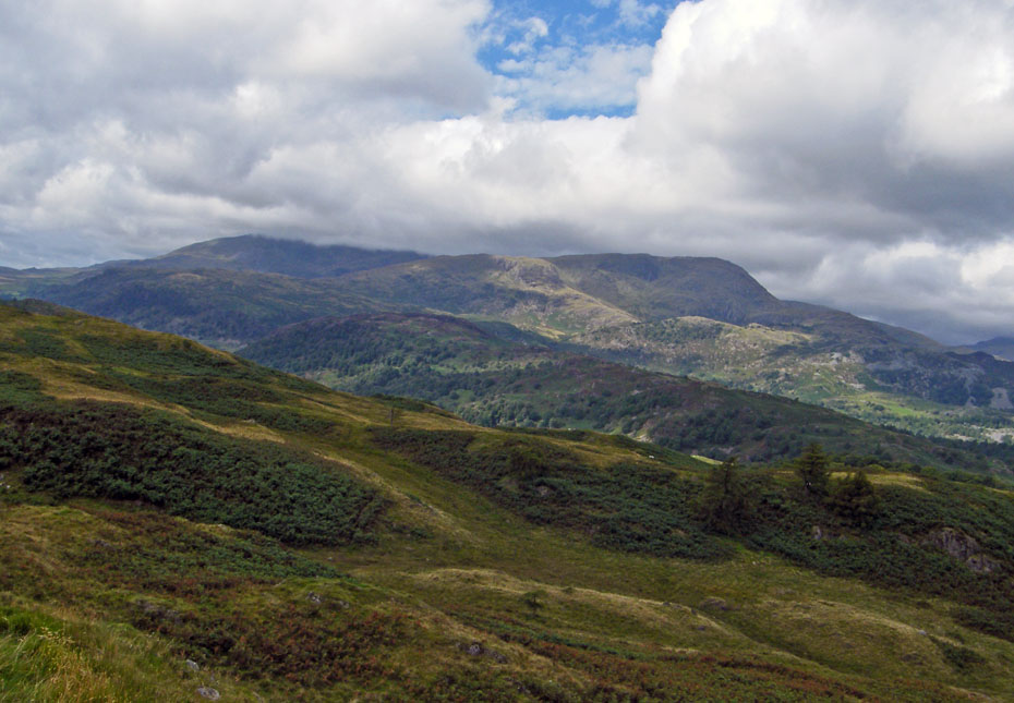
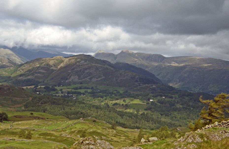
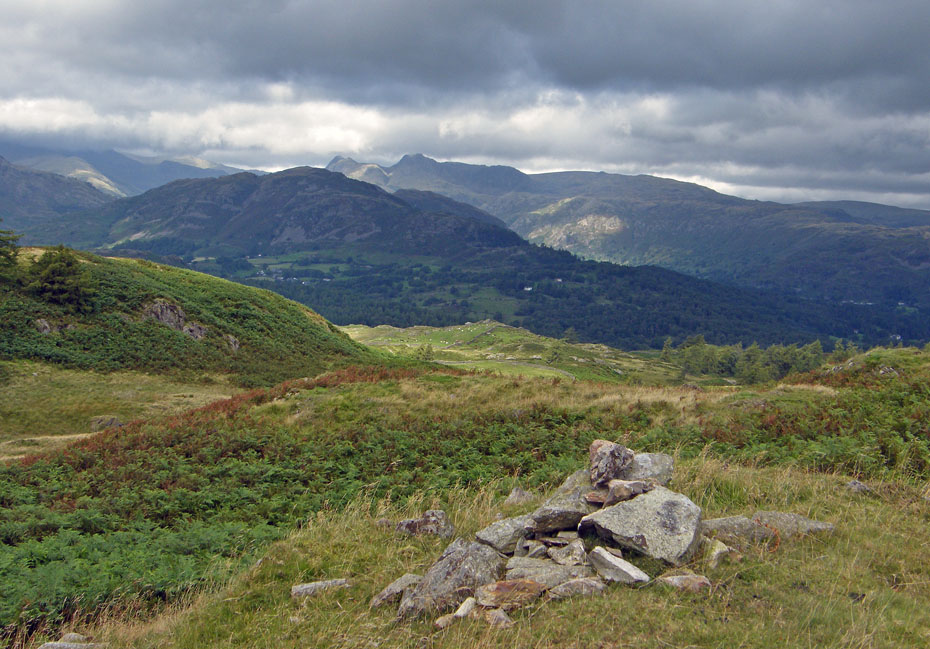
Looking to Langdale and I've seen worse or even nowt at all.
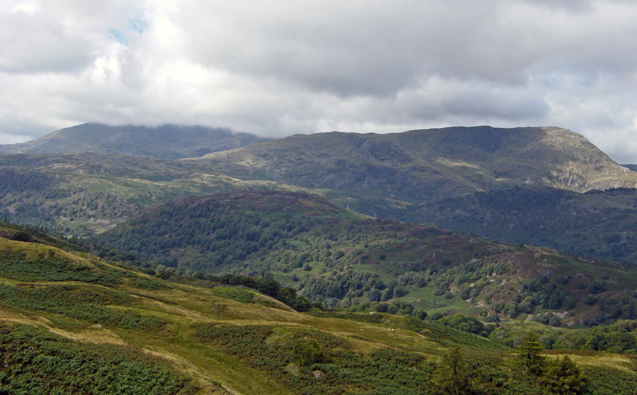
The Conistons over Holme Fell.
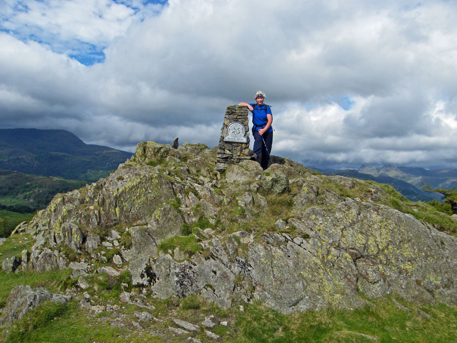
The boss-lady on Black Crag.
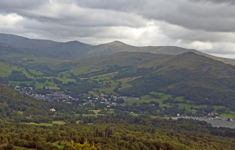
Sunshine and shadows on the Fairfield fells.
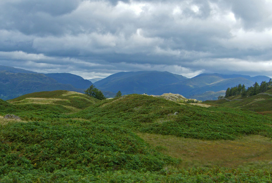
From the summit we made our way over to the SE Cairn but the views over Wansfell to the Kentmere fells were not that great.
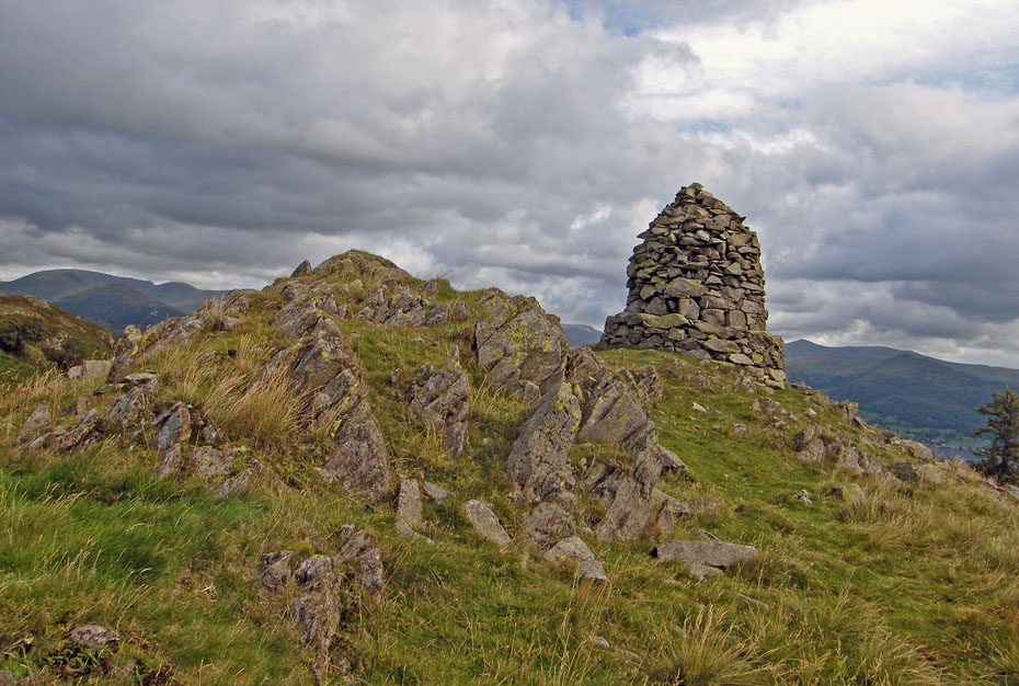
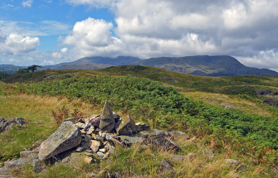
The SE Cairn
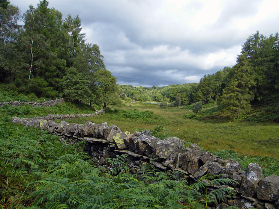
We made our way back to Iron Keld.
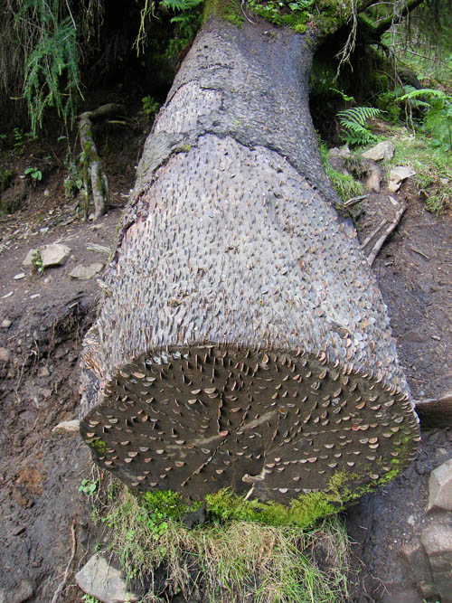
The "Money Tree" at Tarn Hows
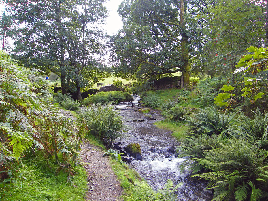
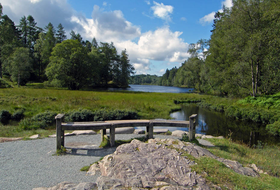
Tarn Hows is drained by Tom Gill, seen here, which cascades down over several small waterfalls to Glen Mary bridge: named by John Ruskin who felt that Tom Gill required a more picturesque name and so gave the area the title 'Glen Mary'.
And finally.....well you should know by now!!
Next Walk: 22nd August 2010 - The Howgills - Winder from Sedbergh
Last Walk: 19th August 2010 - Lake District - A Elterwater walkabout.
Do you have a Facebook or Twitter account. We post regular updates on both. Just click on either of the links below.
![]()

We hope you have enjoyed viewing this walk. If you have any comments please sign our Guestbook or E_Mail us.
