
| Area: | Howgill Fells | Ascent: | 1200feet |
| Walk No: | 436 | Time: | 3hours |
| Date: | 22nd August 2010 | Parking: | Sedbergh |
| Distance: | 4.25miles | Weather: | Fine with sunny periods |
| Route: |
For those of you that are thinking of going onto the hills I would strongly recommend that you read the advice given by the Mountain Rescue organisation of England and Wales. To read this advice, which will open in a new page please click HERE. If you would like to make a donation to the Mountain Rescue organisation which is purely voluntary please click HERE. Please make the time to read the advice page.
We had decided to give the Lakes a miss today and to do this walk from Sedbergh. It is a while since I have been on the Howgills but seeing them from our walks makes me wonder if I can still manage the smaller ones. It would be easier for me to go to the northern end really as the slopes are more gentle but to me Winder as always been the Howgills. AW writes in his book "Walks on the Howgill Fells" that Winder is to Sedbergh what the Matterhorn is to Zermatt and it certainly dominates the town. Anyway enough of my prattling on, after parking up in the town centre we made our way up Howgill Lane to the permissive path at Lockbank Farm where we gained access to the fellside. Following the line of the intake wall we eventually access to the western ridge of Winder to follow it up to the summit. From the summit we descended to the col between Winder and Arant Haw before following Settlebeck Gill down and back into Sedbergh.
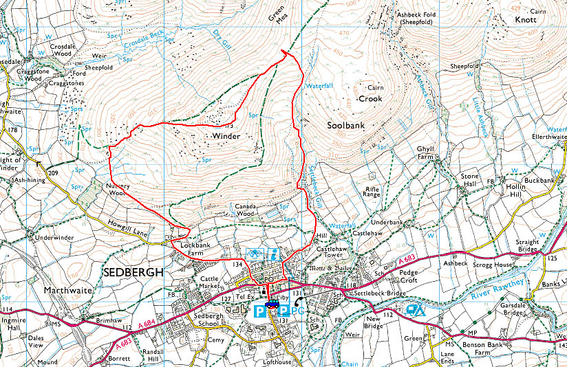
Route Map
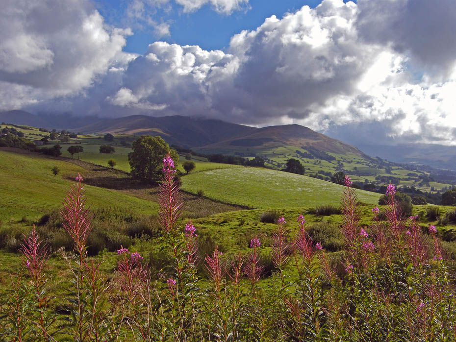
Winder stays clear of cloud. Taken from the Kendal - Sedbergh road near Lily Mere.
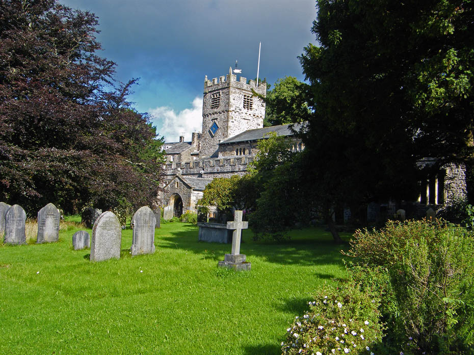
St Andrew's Church is probably the oldest building by far in Sedbergh, dating from around 1130.In 1886 a major restoration of the building took place under the direction of the architects Paley and Austin. At this time new pews, stalls and pulpit were installed, the work of the Lancaster firm of Waring and Gillow. We had left the car nearby and passed here as we made our way to Howgill Lane.
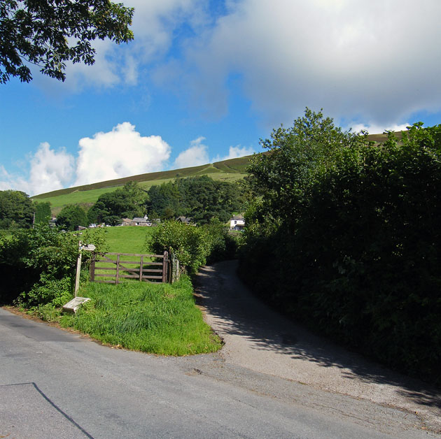
After walking up Howgill Lane we came to the lane to Lockbank Farm where there is a concessionary path to the fells.
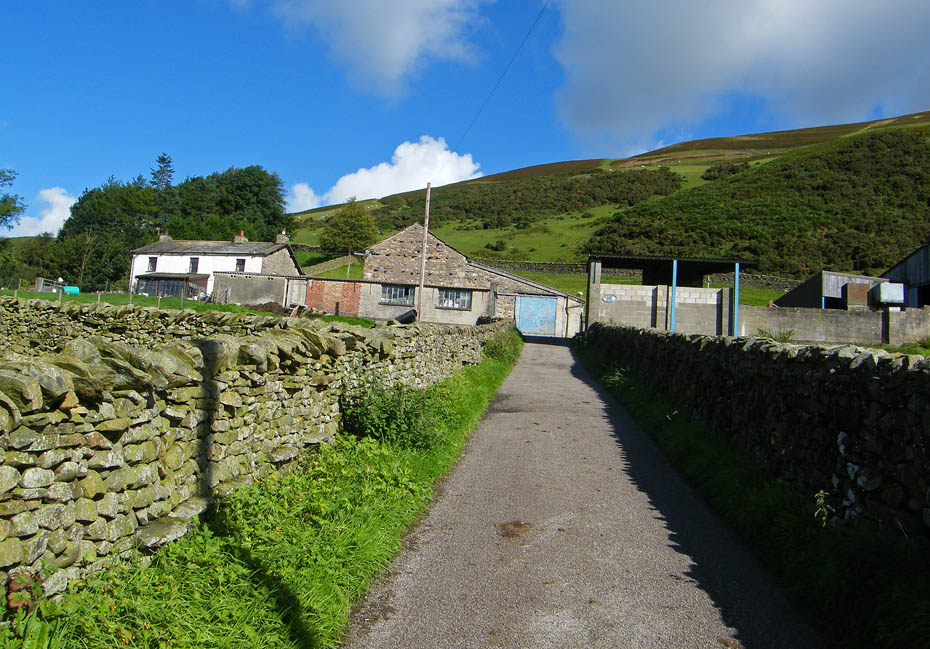
Approaching the farm with the slopes of Winder ahead. At the end of this lane just turn right through a gate onto the fellside.
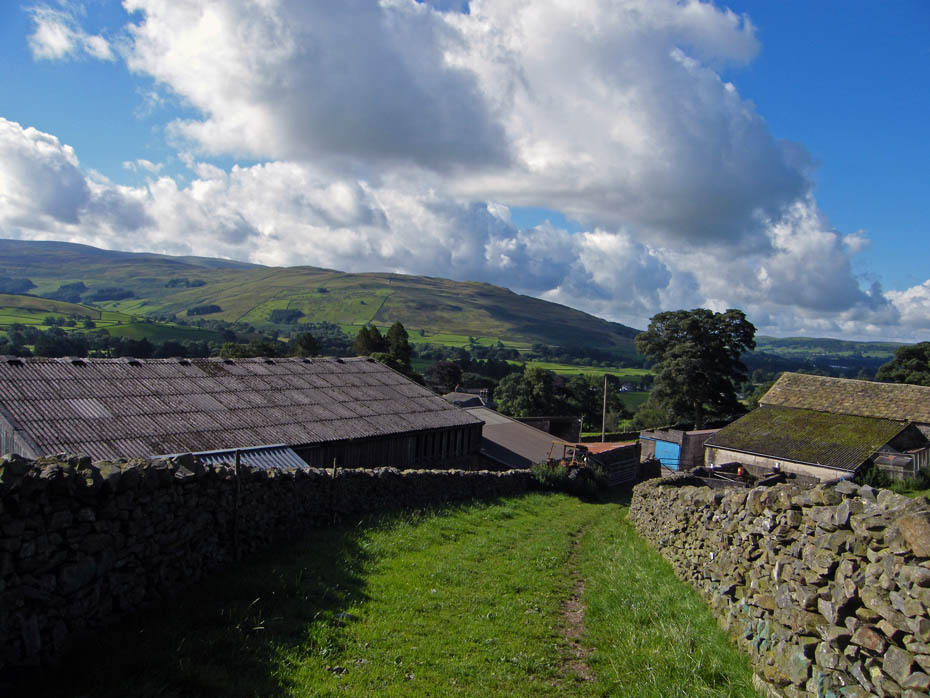
On the fellside now and looking over the farm towards Holme Knott on the northern end of Middleton Fell.
Our track initially follows the intake wall in a NW'ly direction.
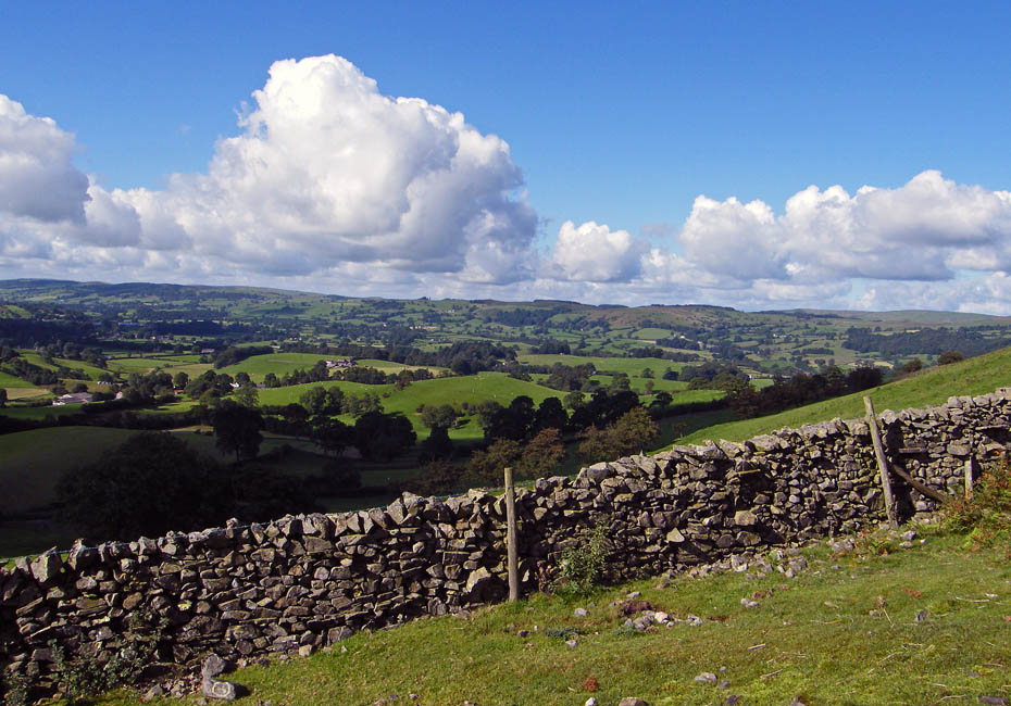
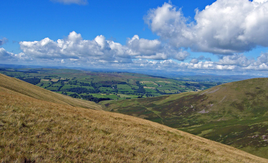
Looking across the Lune valley.
As we gain height the fells of Lakeland start to appear.
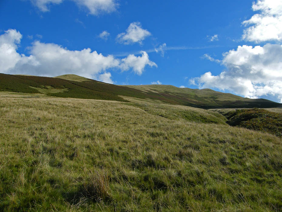
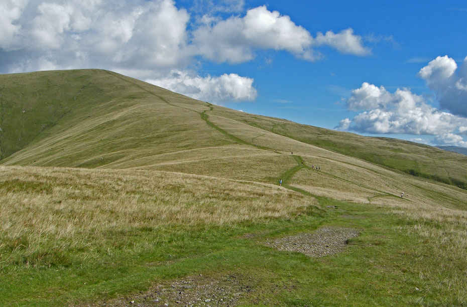
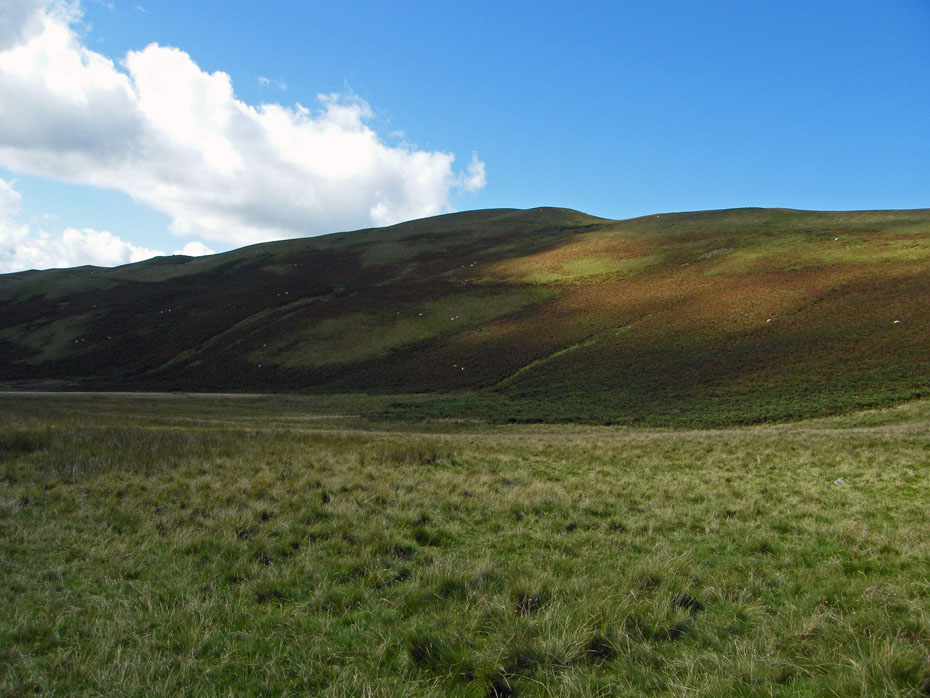
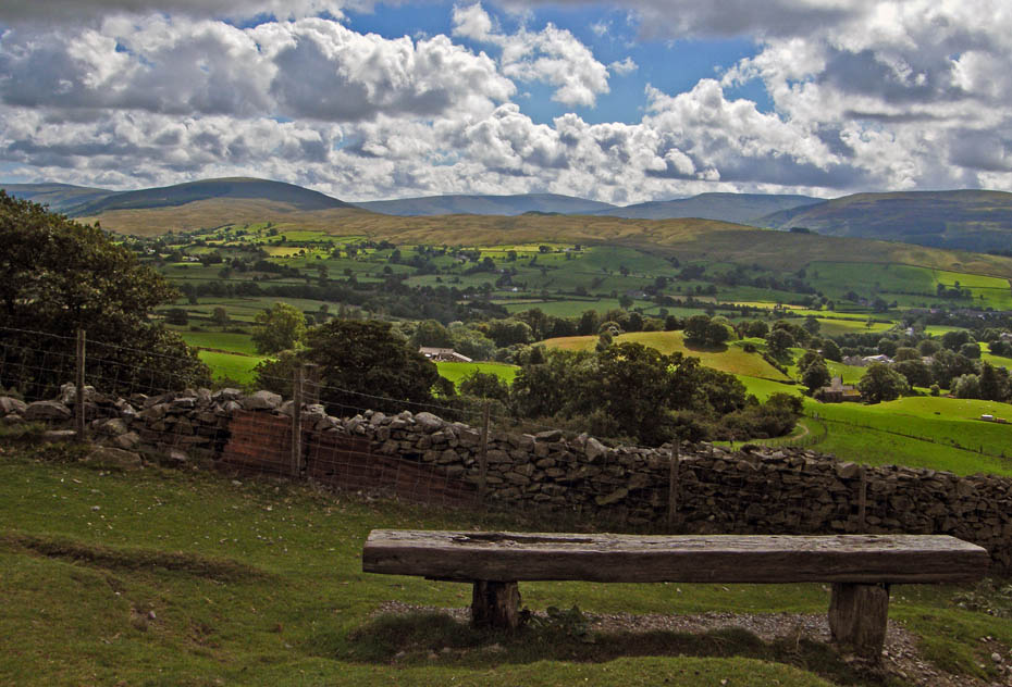
Looking up to Winder. There are a number of paths leading off, some of which will visit the summit but with little to see along the way. So for now carry on ahead.
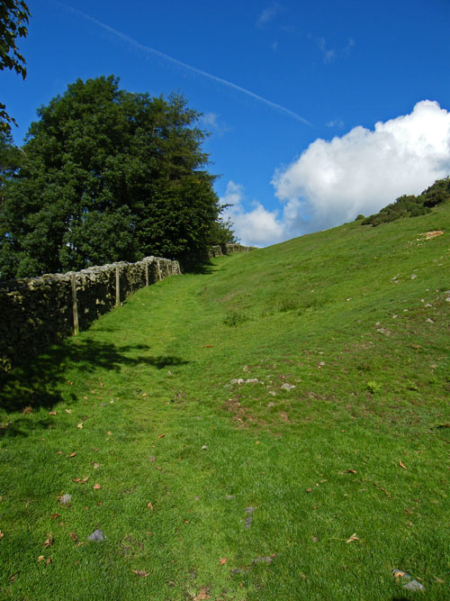
Our path as now left the intake wall to climb steadily towards the western ridge of Winder crossing three small becks above Nursery Wood.
On reaching the crest of the ridge the views to the north towards the Lune Gorge start to appear.
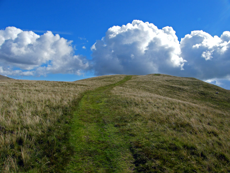
The path rises giving me plenty of reasons to stop.
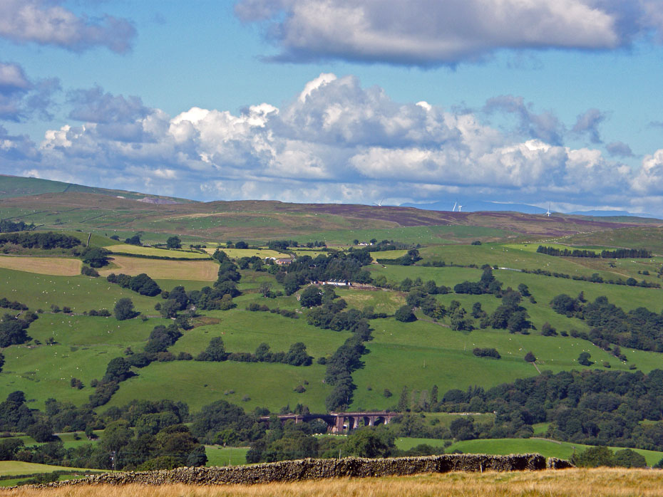
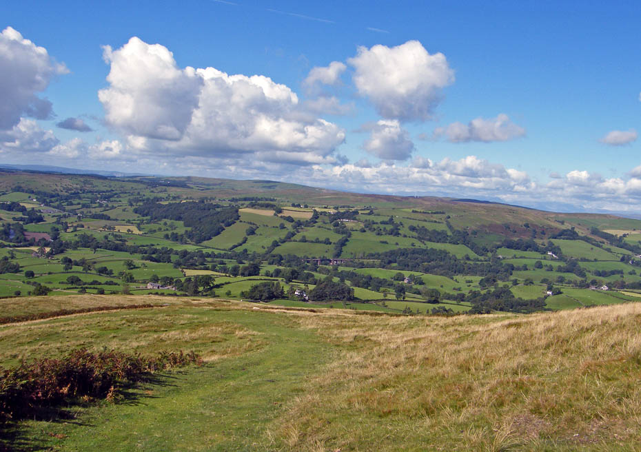
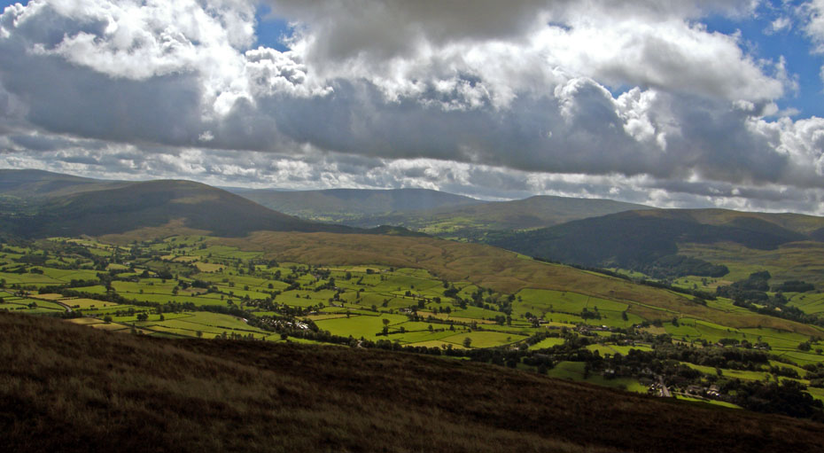
Looking across the valley with the Lowgill Viaduct in centre picture towards the Whinfell Ridge with the Shap and High Street fells beyond.
Looking to the Lune Gorge where the M6 passes between the Howgills and the Shap Fells.
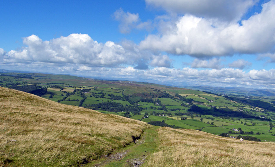
Higher still and the windfarm on Lambrigg Fell is clear to see now with Killington reservoir to the left.
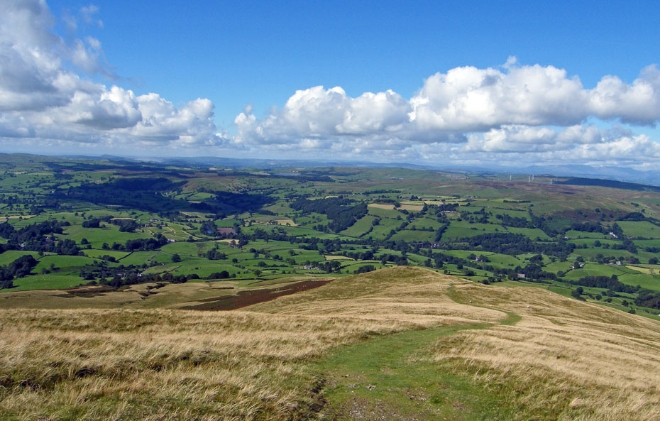
The path eases a little as the summit approaches but not enough for me to stop wheezing.
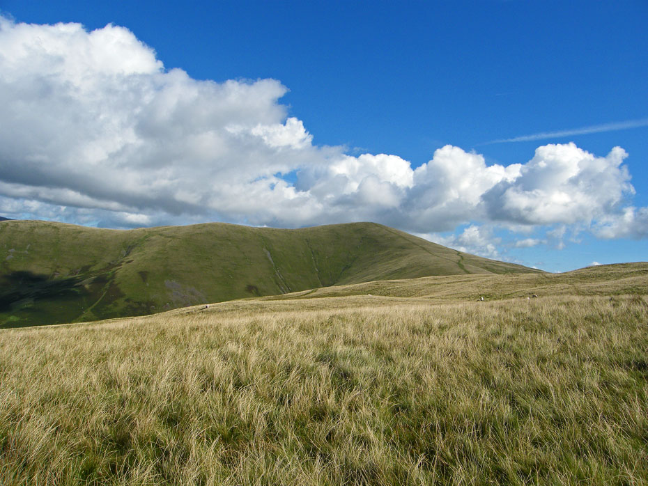
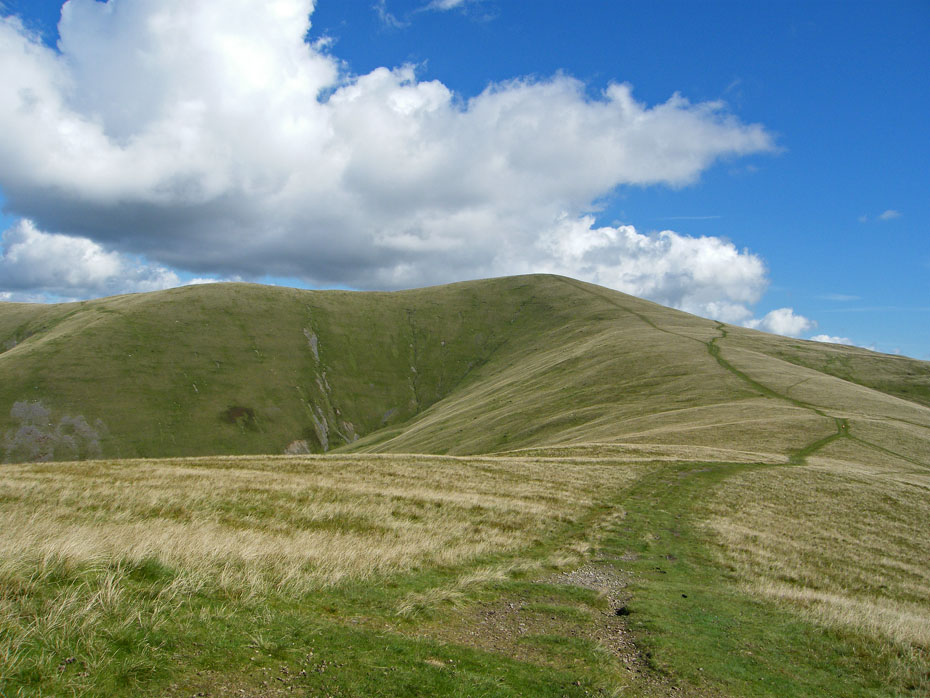
The summit of Arant Haw comes into view.
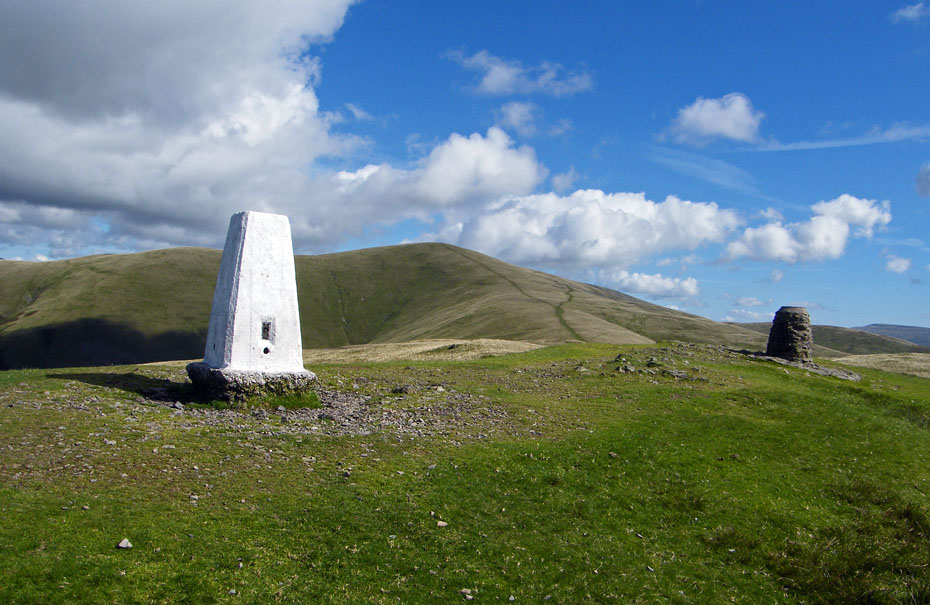
...and soon we are at the summit of Winder with its Trig Point and the Millenium Cairn.
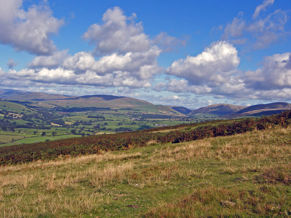
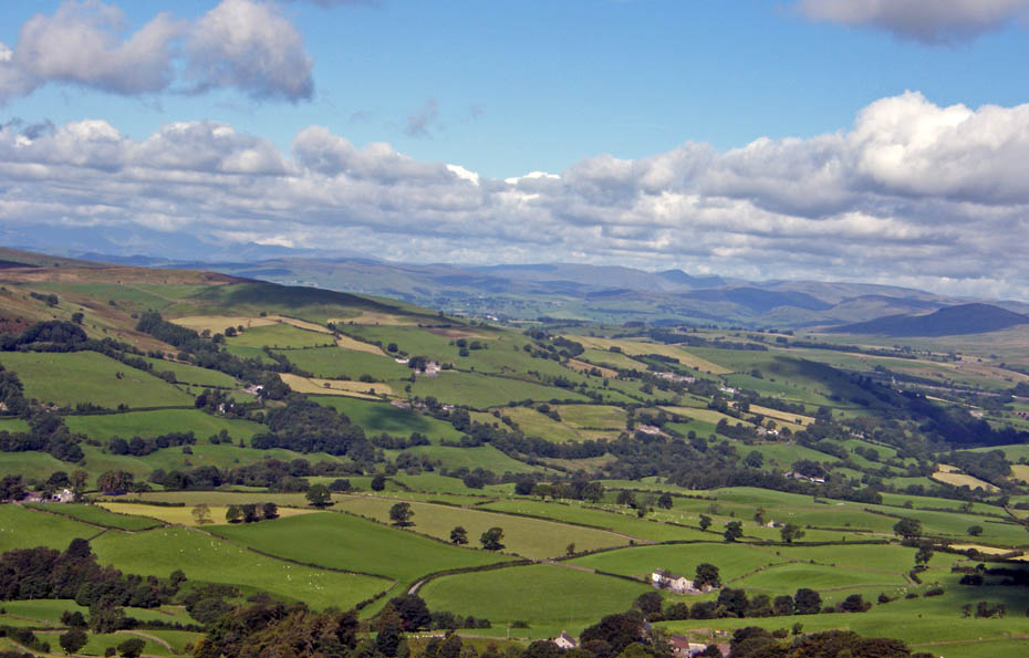
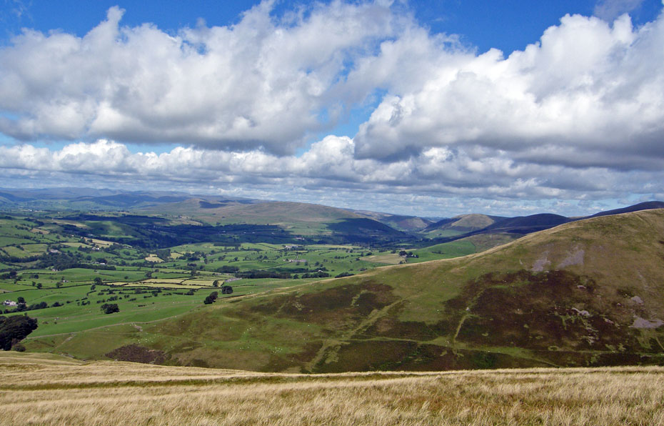
Wild Boar Fell from Winder with Baugh Fell to the right and the knobbly summit of Crook which is adorned by the Howgills biggest cairn in front.
Into the sun looking up Garsdale.
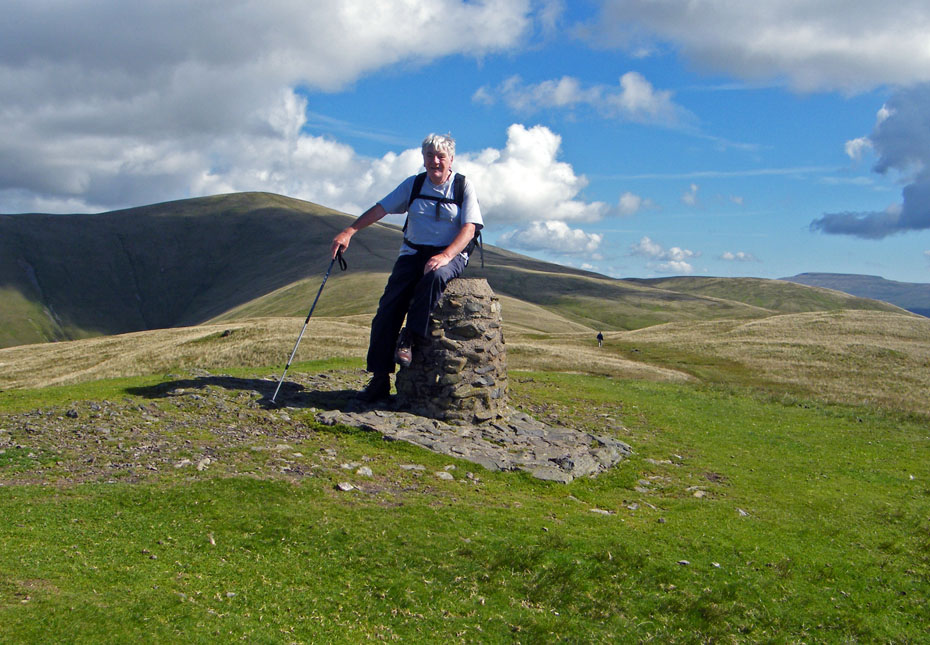
Winded on Winder....up to this point we hadn't seen a soul apart from the gent behind me who passed us at the summit.

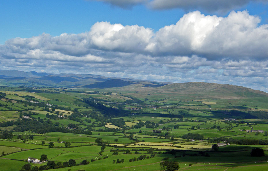
Lakeland from Winder.
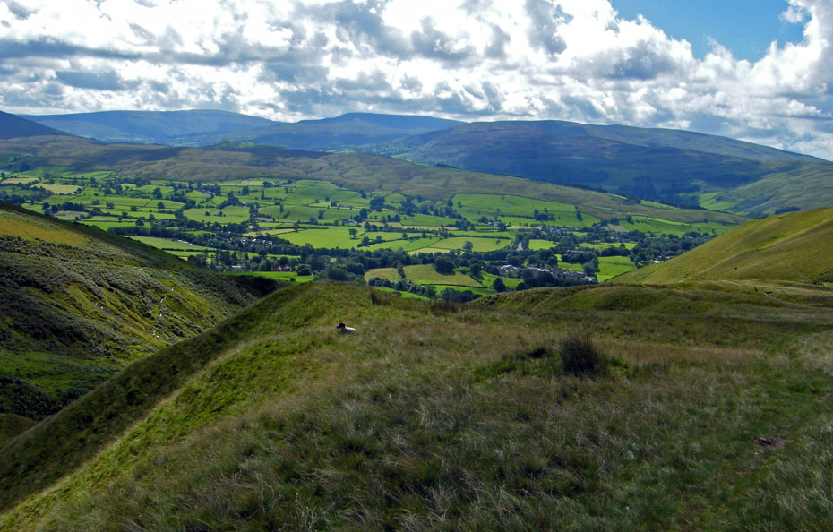
As we dropped down off Winder I tried to persuade Edith that I was OK for Arant Haw but she was having none of it....
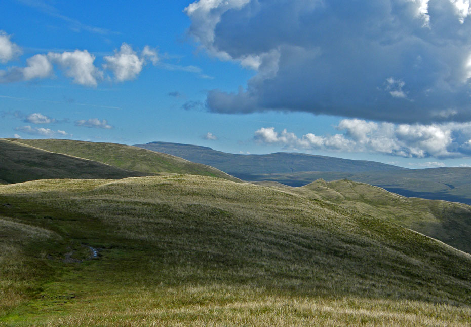
....even Crook on the other side of Settlebeck Gill was a no go area.
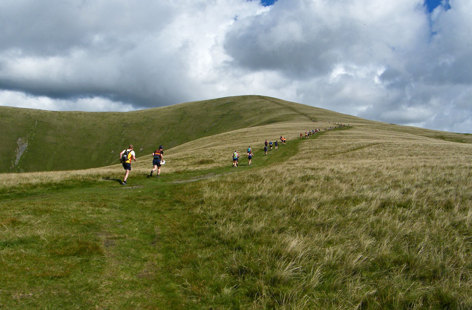
From only having seen the one person suddenly there seemed to be a coach trip.
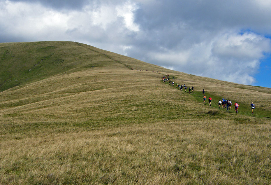
I believe it was the Sedbergh Hills Fell Race around 14miles and 6000' of ascent won by Jon Morgan (Dark Peak) in 2h 18m 55s.....Crikey!!....it nearly took me that long to get to here!
After failing to gain Ediths approval to go up Arant Haw we made our way down....
Winder
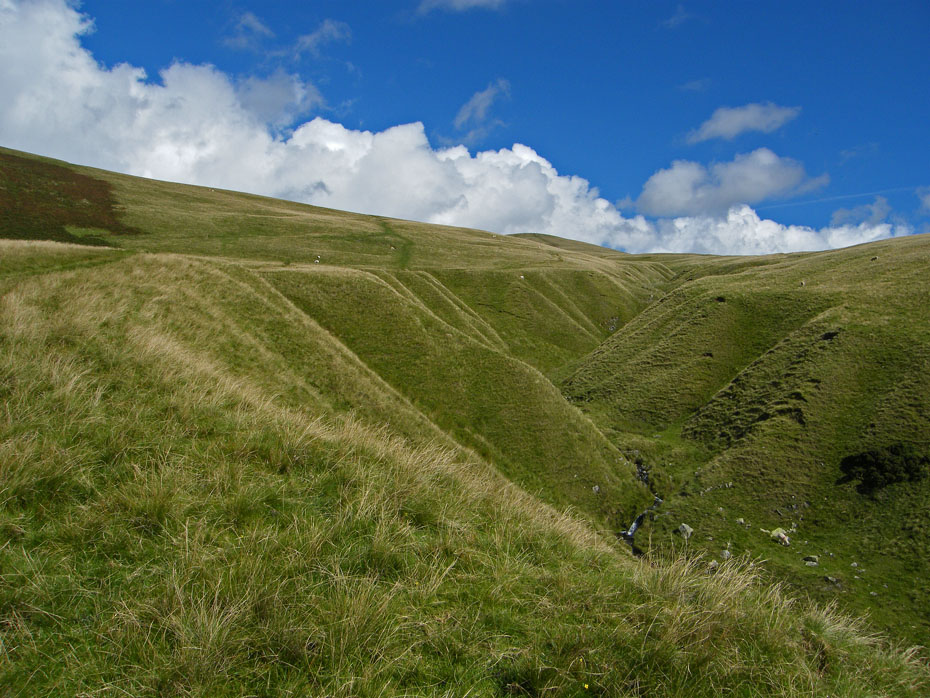
We followed the edge of Settlebeck Gill down.
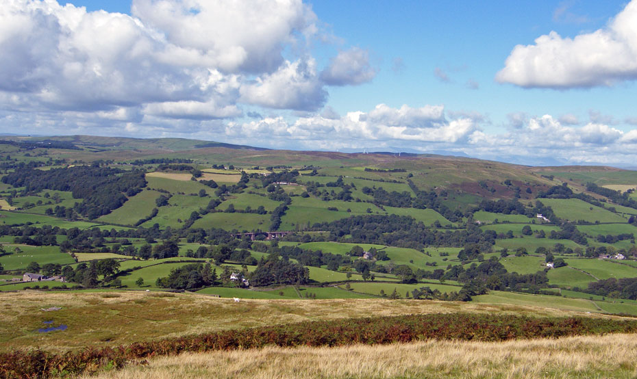
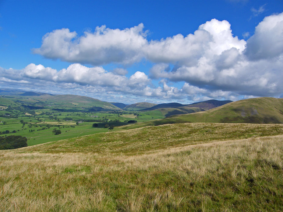
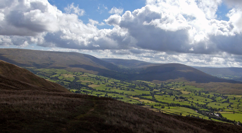
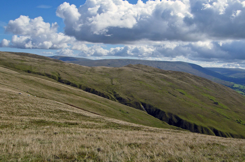
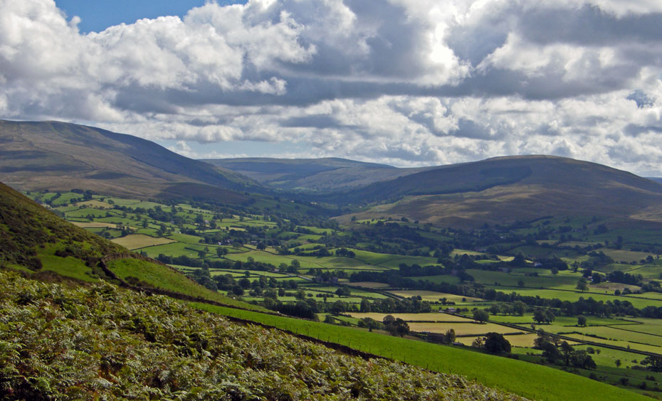
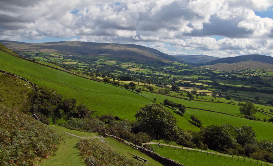
Ahead of us over the low slopes of Frostrow from l to r Whernside, Crag Hill and Middleton Fell.
Looking up Garsdale to Aye Gill Pike
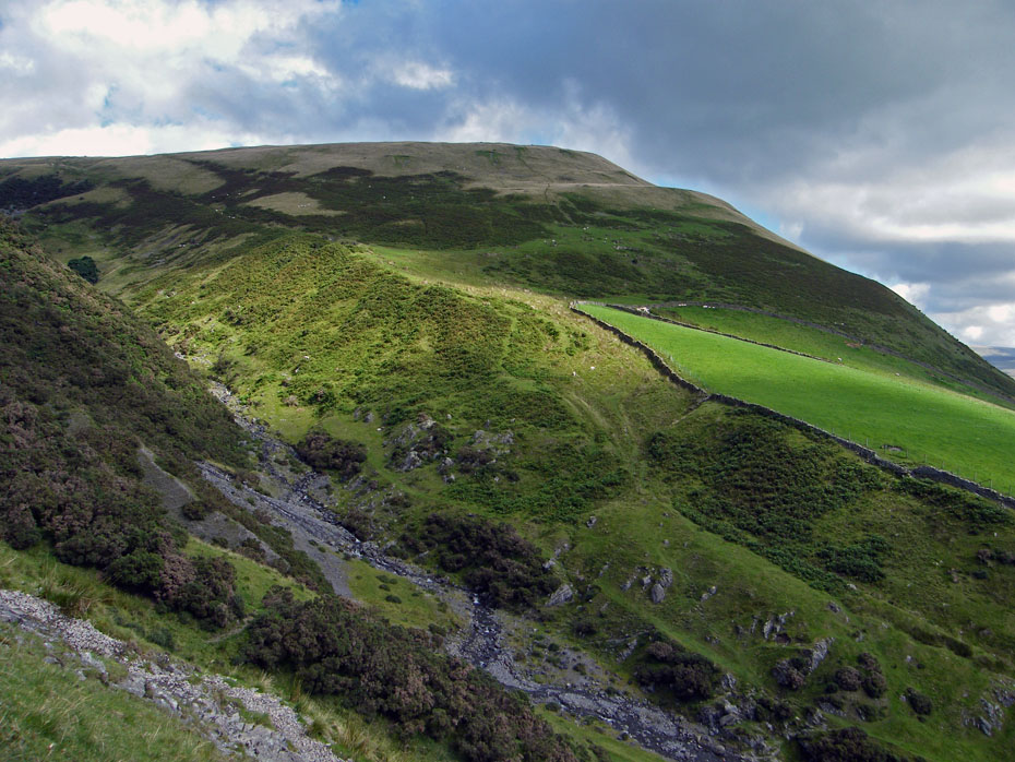
Settlebeck Gill with Crook behind.
A walk down to the kissing gate for a sit down on the seat.
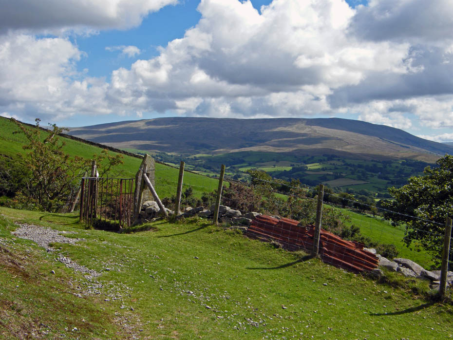
The Kissing Gate with Baugh Fell behind.
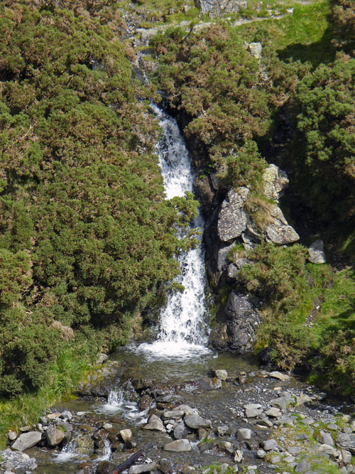
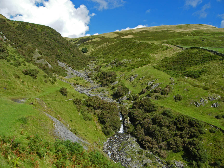
Settlebeck Gill waterfall.
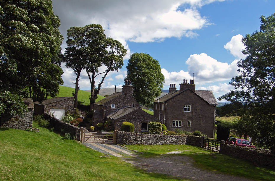
Passing Hill on our way back to Sedbergh.
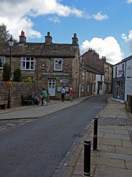
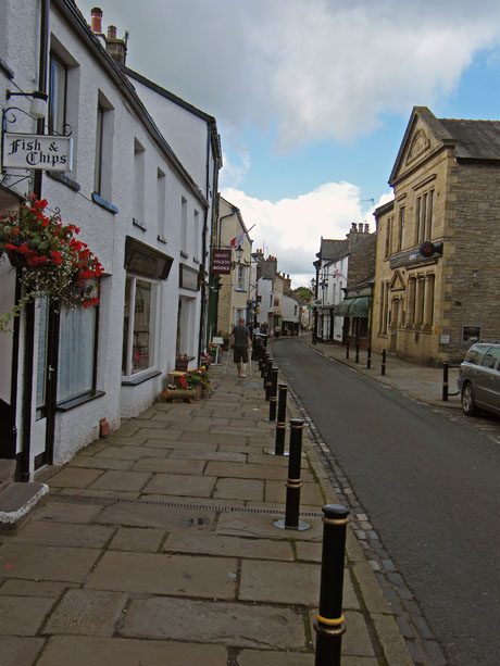
Sedbergh Booktown....There is an abundance of bookshops in the town....here's why.
The Sedbergh booktown project was started after the 2001 Foot and Mouth Disease outbreak in order to encourage an increase in the number of visitors, whose enjoyment of the beautiful countryside around Sedbergh supports the functioning of vital town centre amenities. The company, Sedbergh Book Town, was set up in 2003 to develop a community of businesses involved in selling, writing, publishing and designing books and other publications.
Next Walk: 24th August 2010 - Lake District - A sunny afternoon on School Knott
Last Walk: 21st August 2010 - Lake District - Black Fell and Tarn Hows
Do you have a Facebook or Twitter account. We post regular updates on both. Just click on either of the links below.
![]()

We hope you have enjoyed viewing this walk. If you have any comments please sign our Guestbook or E_Mail us.
