
| Area: | Lake District | Ascent: | 980feet |
| Walk No: | 450 | Time: | 3hours 40minutes |
| Date: | 17th September 2010 | Parking: | Near Clappersgate. |
| Distance: | 6.00miles | Weather: | Fine and mostly sunny |
| Route: |
For those of you that are thinking of going onto the hills I would strongly recommend that you read the advice given by the Mountain Rescue organisation of England and Wales. To read this advice, which will open in a new page please click HERE. If you would like to make a donation to the Mountain Rescue organisation which is purely voluntary please click HERE. Please make the time to read the advice page.
One of our favourite low level walks. Leaving the car near Clappersgate we accessed the southern end of Loughrigg from there making our way up to AW's Todd Crag. From there we made our way to the Ambleside - Loughrigg Tarn bridleway to follow that down to the tarn and then down to Skelwith Bridge. A return was made by way of Skelwith Fold and Pull Wyke.
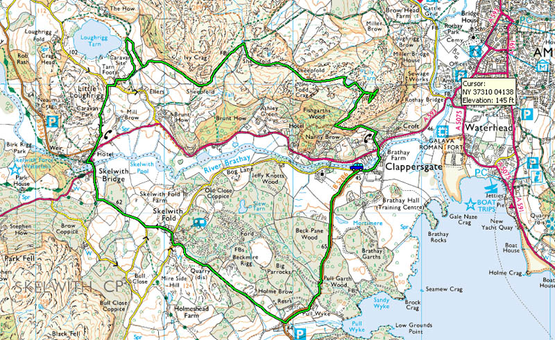
The route.
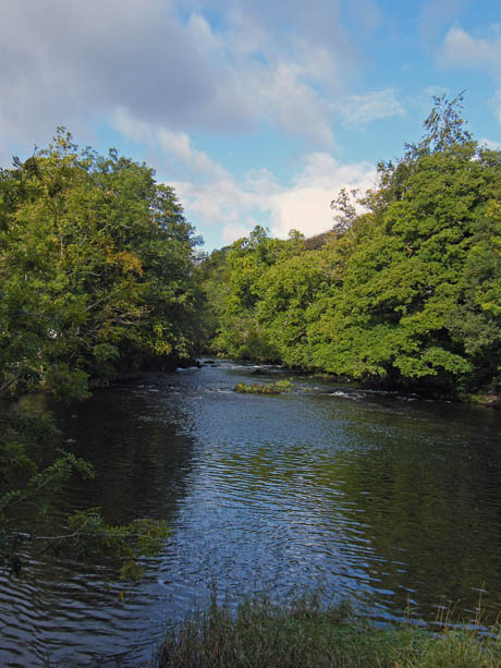
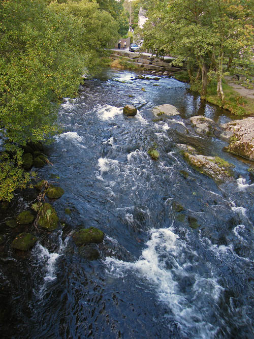
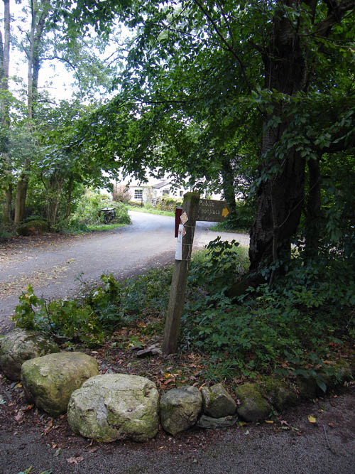
Having left the car at the side of the River Brathay we walked up to Clappersgate to take the path up to Todd Crag. In the 16th century Clappersgate was classified as a port, since it had a wharf on the Brathay river where slate from local quarries was loaded and taken down river to Windermere and onwards to the south.
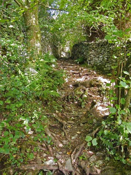
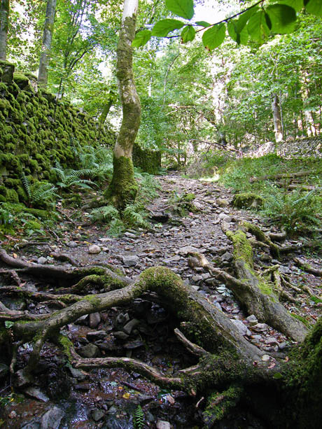
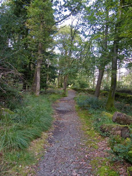
The initial section of the path runs between mossy walls and is quite rough with many roots to catch out those not looking where they put their feet. It is also forms part of the drainage system from the fell-side and most of it is well washed out. Nevertheless the mossy walls and ferns still make for an attractive start to the walk.
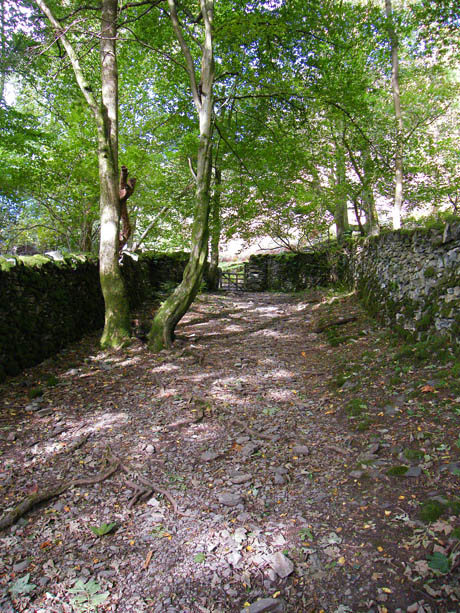
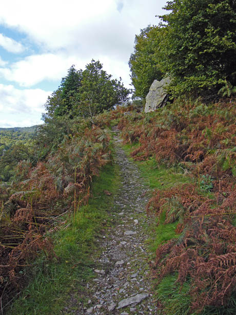
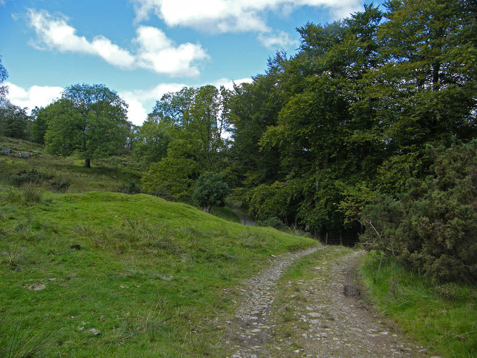
As we gain a little height the gradient lessens and the path becomes less obstructed eventually leading to the gate onto the open fell-side. From the gate a narrow track makes it way up the lower slopes.
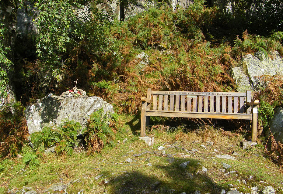
A memorial seat to Sid Cross once of the Burnmoor Inn Eskdale (now the Boot Inn) and the Old Dungeon Ghyll in Great Langdale ( AW on Harrison Stickle 7 refers to the ODG as Sid Cross's place) and one of the first to organise local volunteers into the Mountain Rescue teams we have today. I found his obituary whilst researching this and it makes very interesting reading.....please take a look HERE it will open in a new page.

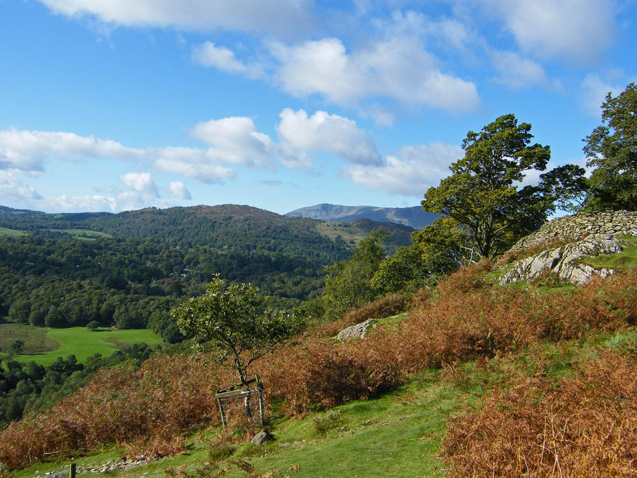
As we get higher the views start to appear, here to Black Fell, Holme Fell and the Conistons.
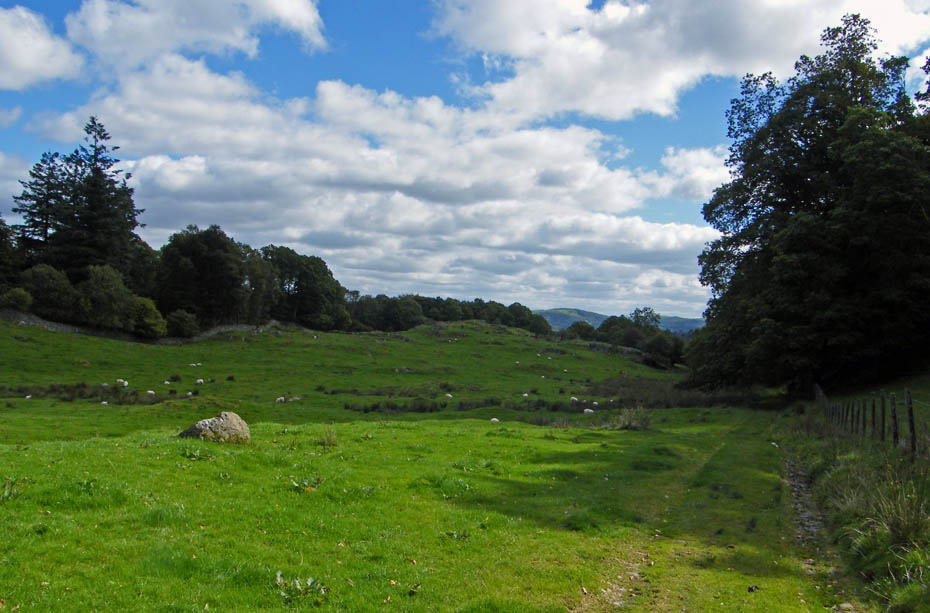
Eventually we reach the top of the steepest bit....
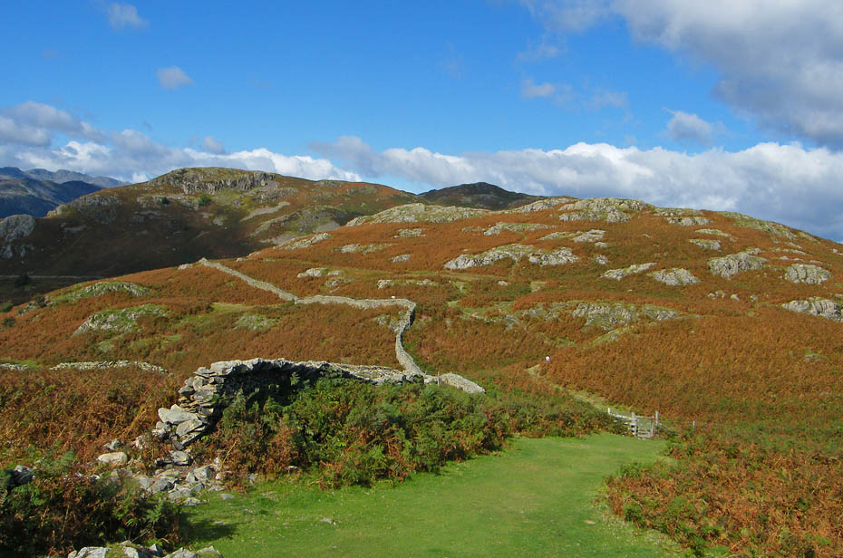
...to make our way to what AW calls Todd Crag although he does clarify that it is not the official OS summit which lies a few hundred yards away to the west.
The lilies are still in flower on the small pool.
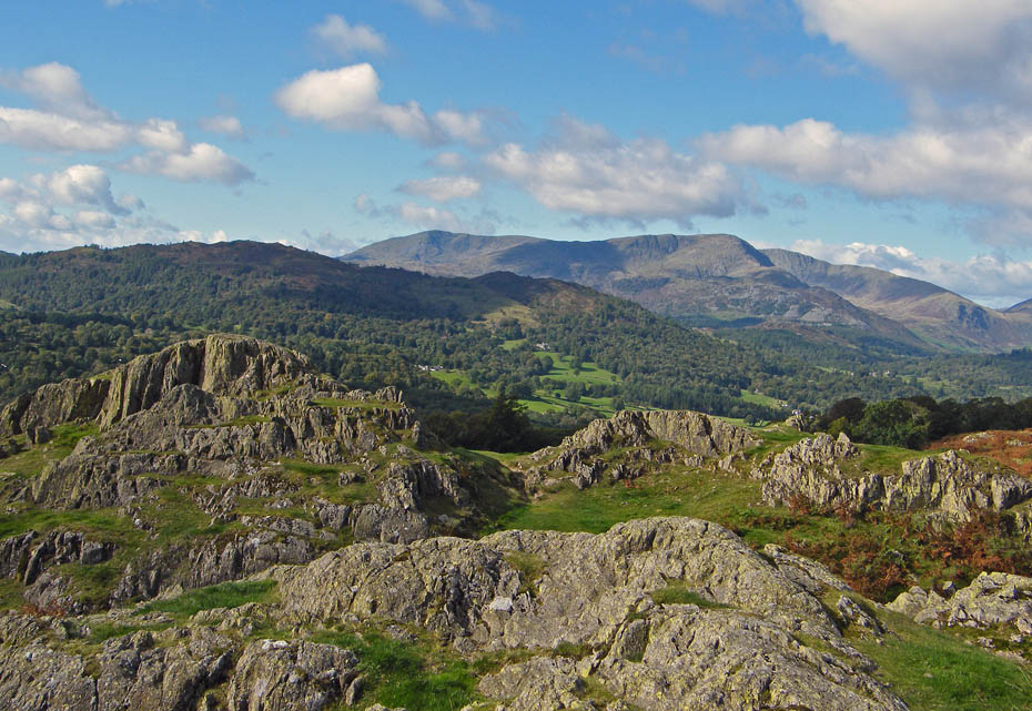
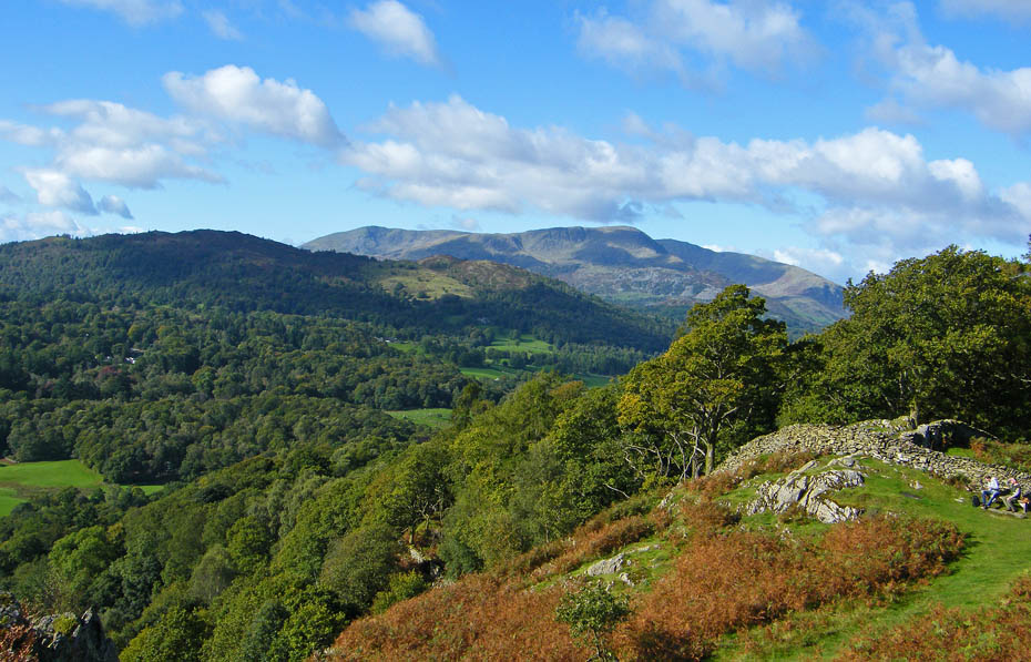
Black Fell, Holme Fell and the Coniston Fells from Todd Crag.
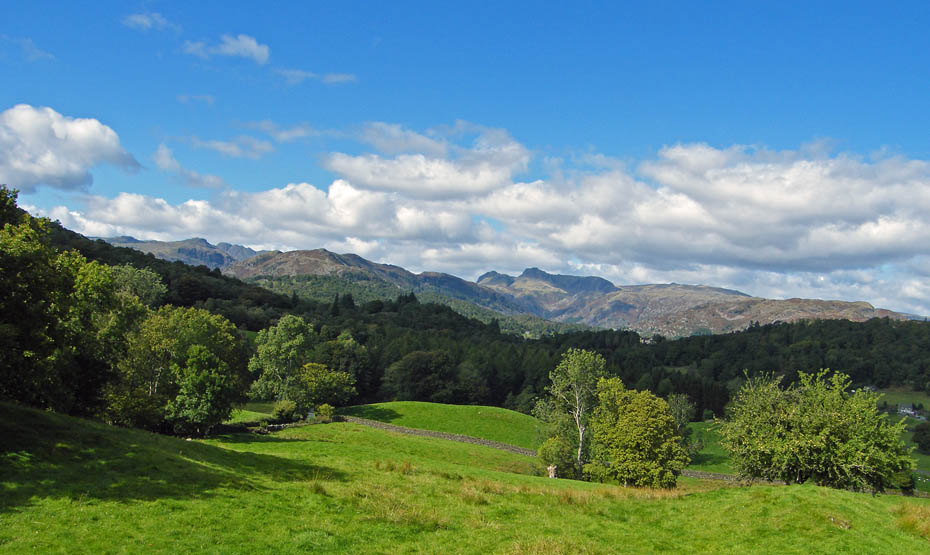
Views to Little and Great Langdale.
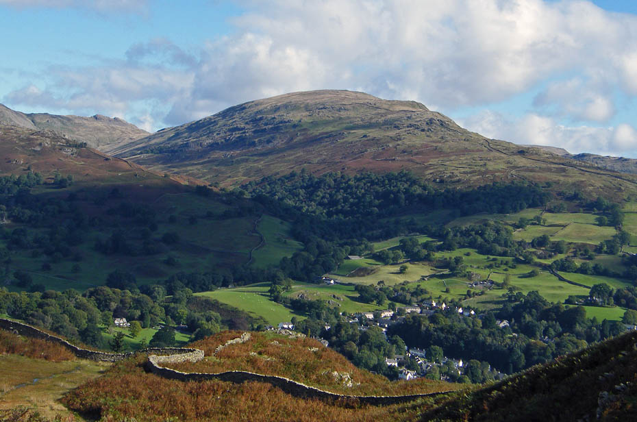
Looking to the Fairfield Horseshoe with Rydal Hall visible in centre picture.
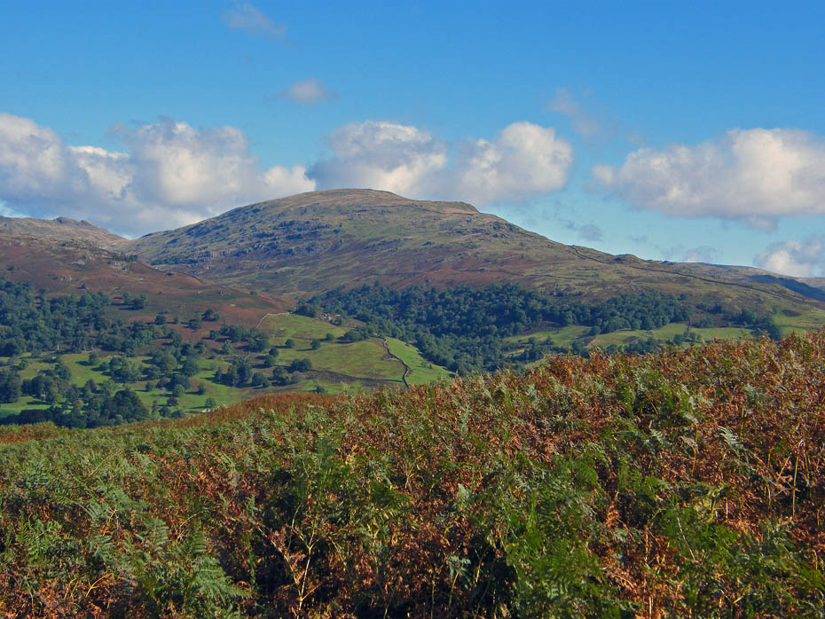
Over Ambleside to Red Screes.
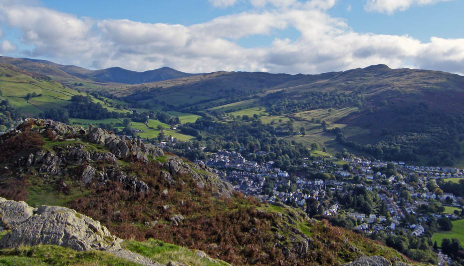
Again over Ambleside to Wansfell and a glimpse of Kentmere fells.
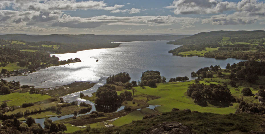
A look down Windermere into the sun.
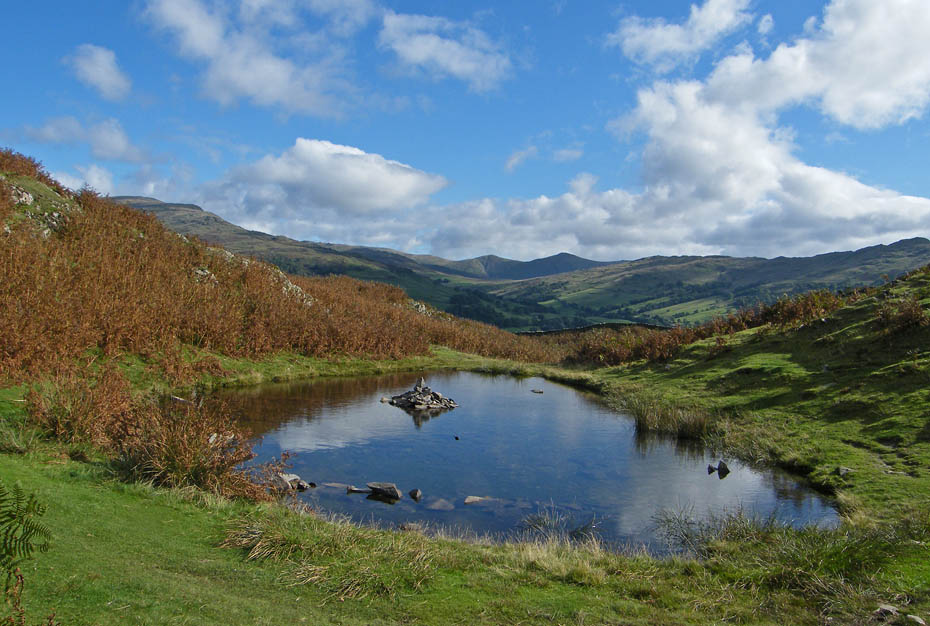
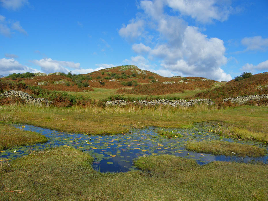
AW mentions on Loughrigg Fell 9 that somebody had built a small cairn on the small island in Lily Tarn. I can't recall seeing this, maybe it as sunk into the muddy tarn, however there is a fine cairn on the unnamed tarn as we make our way to Lily Tarn.
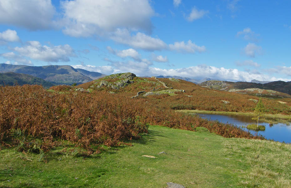
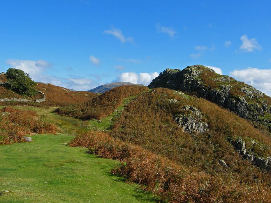
Approaching Lily Tarn with the "official" Todd Crag to the left.
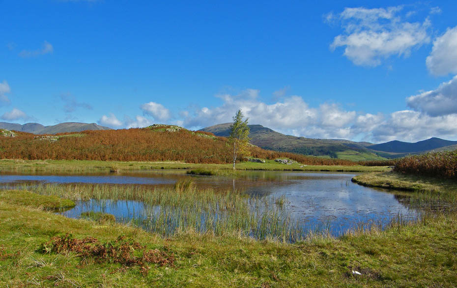
Lily Tarn
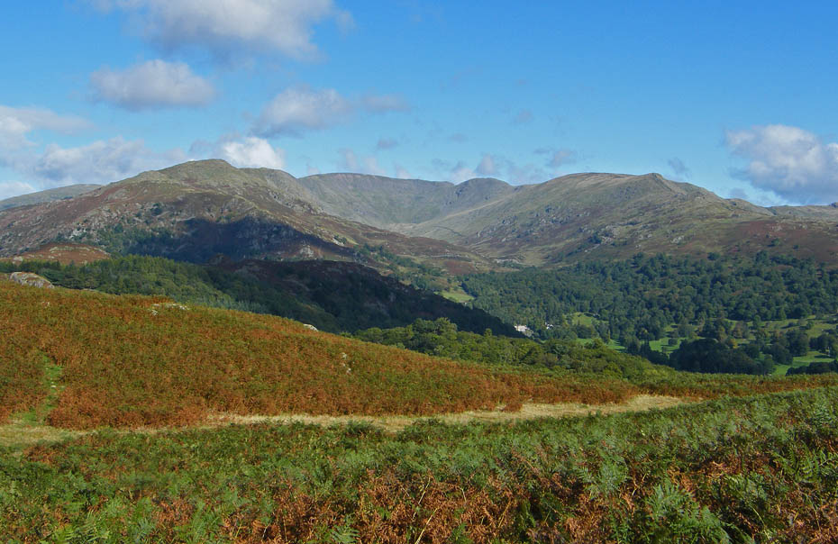
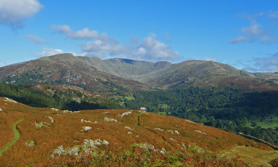
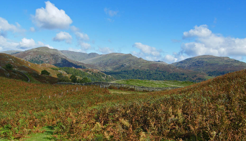
From the tarn we made our way WNW'ly to join up with the Ambleside - Loughrigg Tarn path enjoying views like this of the Fairfield Horseshoe every step of the way.
Red Screes
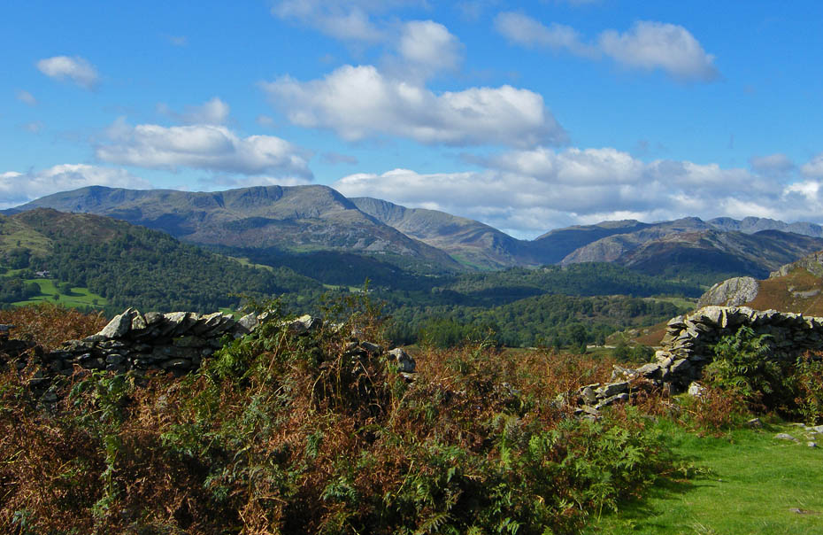
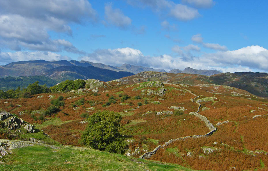
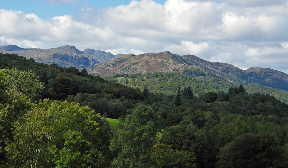
Looking towards the "dip" of the Wrynose Pass with the Coniston Fells to its left and Lingmoor, Pike O'Blisco and the Crinkle Crags to the right.
Our way ahead with Ivy Crag jutting out to the left and Loughrigg itself in the distance.
A last look at the Fairfield Fells before we lose sight of them.
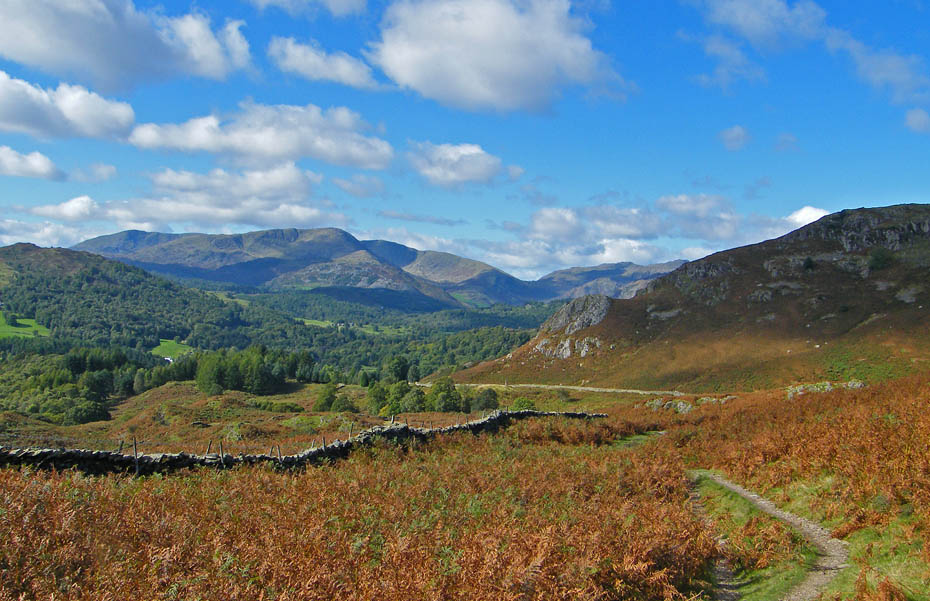
However, to our left there is much to see.
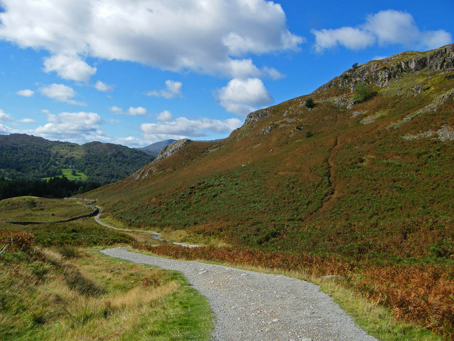
We have now reached the bridleway. The "new" path may not be all that pretty to the eye but it is doing the job well. I remember this a well rutted path caused by 1000's of pairs of boots and the Lakeland weather. This path is standing up to those rigours just fine.
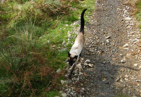
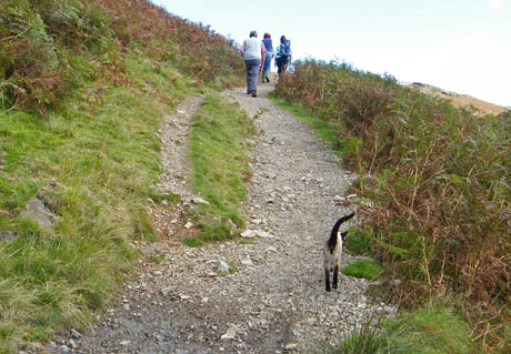
Facebook readers and OFC members may have already seen this. Our first ever fellwalking moggie!! It was with the group shown on the right who were on there way to Loughrigg. They reckoned it could manage 5 or 6 miles quite well.
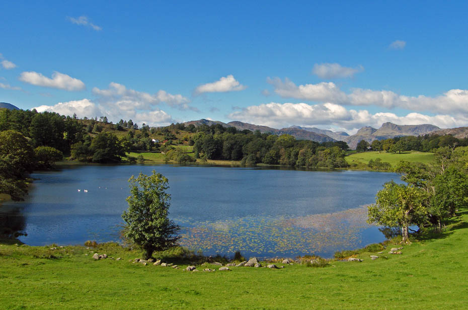
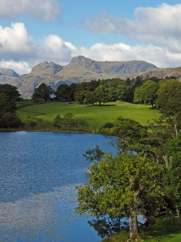
We followed the path down to Loughrigg Tarn, a wonderful picnic spot.
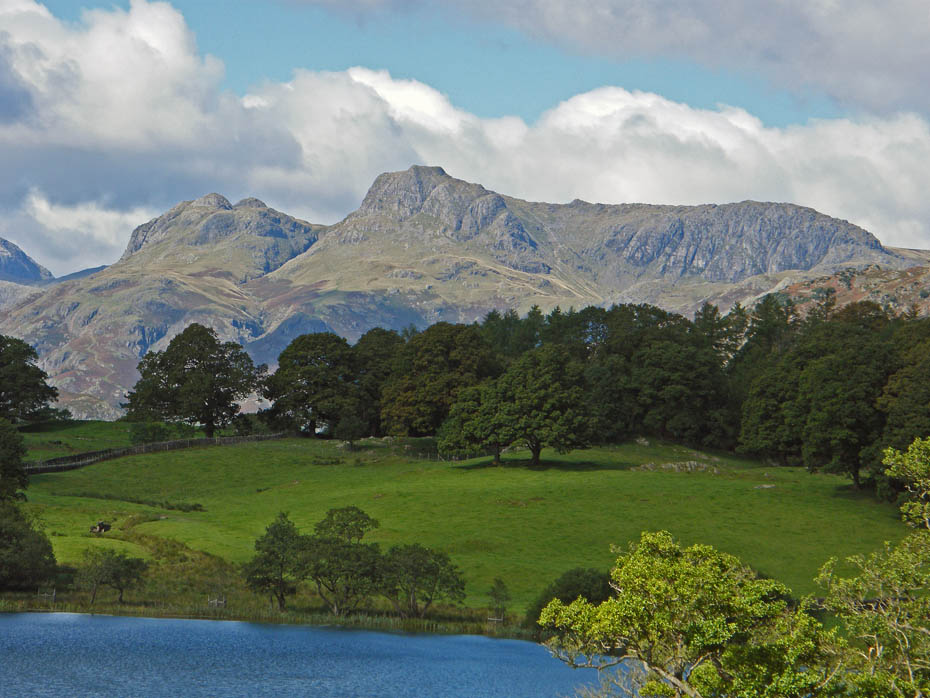
A big close-up of the Langdale Pikes.
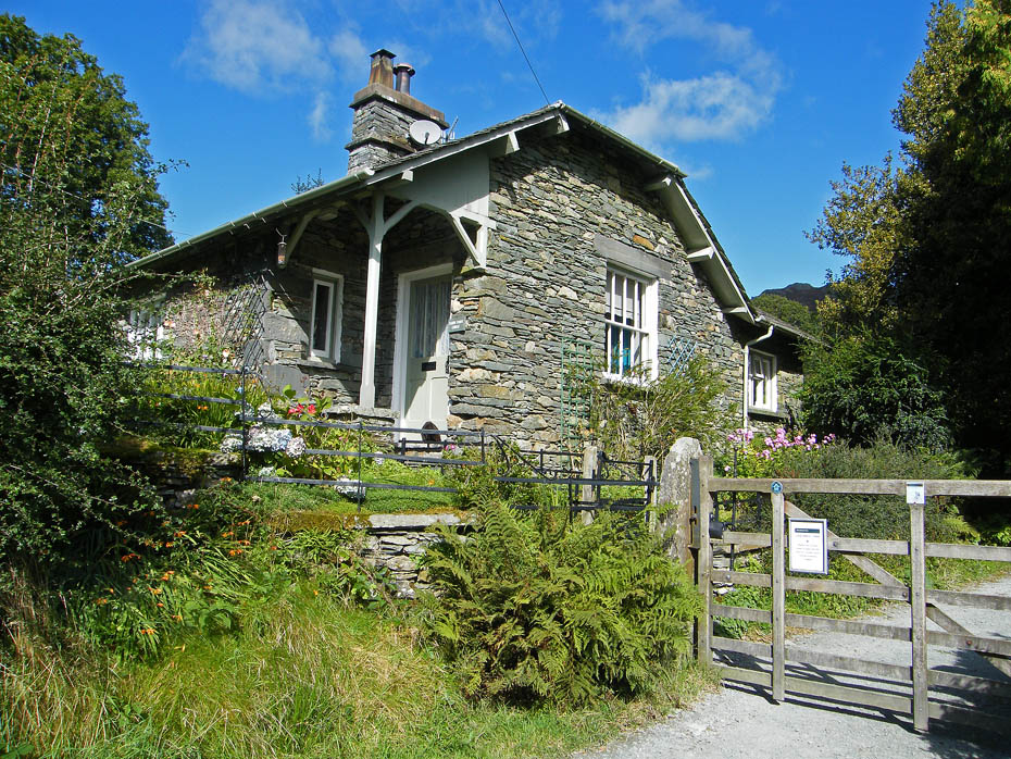
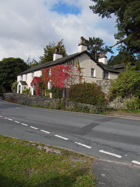
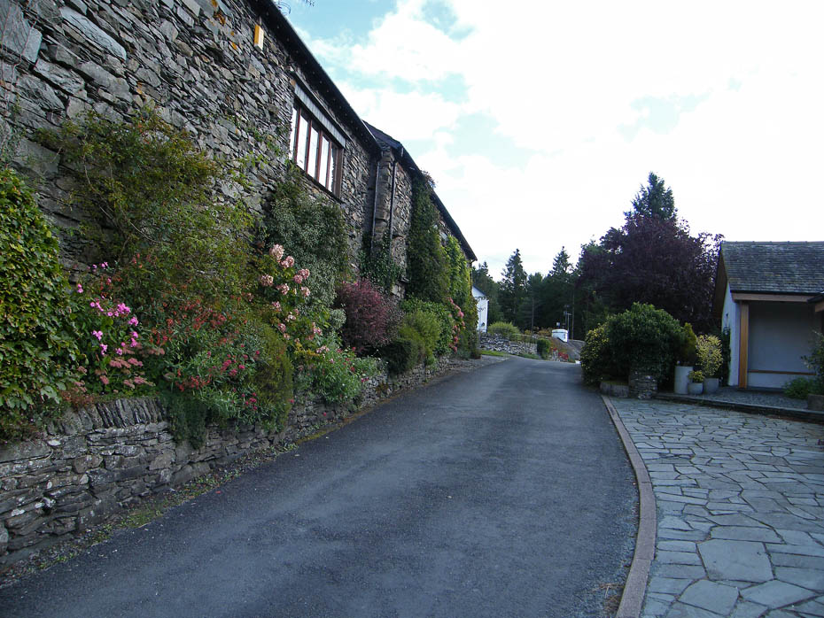
Cottage at Tarn Foot
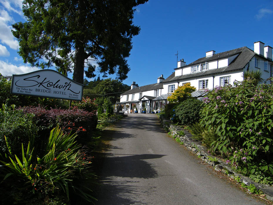
From the tarn we walked down to Skelwith Bridge where lunch was taken.....nah not here!!
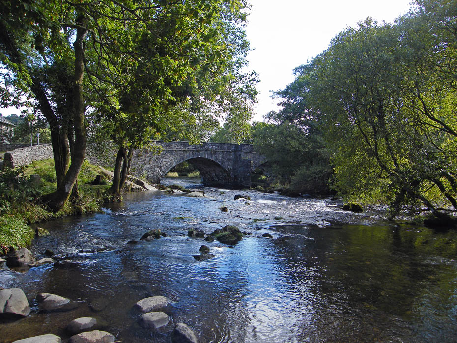
Here!!
After crossing Skelwith Bridge we walked up the quiet lane to Skelwith Fold.
Views from Skelwith Fold

Another big zoom on the Langdales with Elterwater Hall below.
Walking through Skelwith Fold. At the junction we turned right....
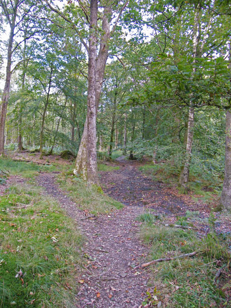
.....and in a short distance took this track off to our left to Pull Wyke.
The path is easy to follow and saves walking down the road back to the car.
It descend to the B5286 near Pull Wyke from where a concessionary path alongside the road (below) can be taken
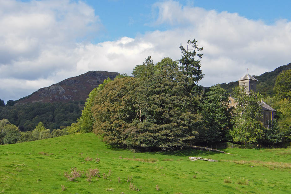
A glimpse of the Holy Trinity Church.
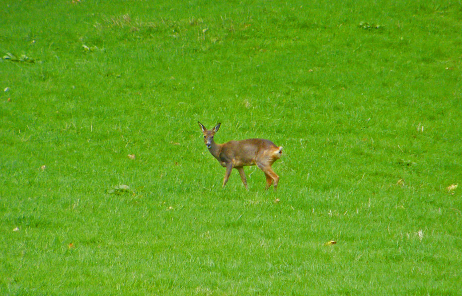
And just before reaching the car.....a local.
Next Walk: 20th September 2010 - South Cumbria - Levens Park and Hincaster
Last Walk: 16th September 2010 - Local - A Lune Valley ramble
Do you have a Facebook or Twitter account. We post regular updates on both. Just click on either of the links below.
![]()

We hope you have enjoyed viewing this walk. If you have any comments please sign our Guestbook or E_Mail us.
