
| Area: | Local | Ascent: | 170feet |
| Walk No: | 449 | Time: | 2hours |
| Date: | 16th September 2010 | Parking: | Crook O'Lune picnic site car park (free) |
| Distance: | 4.50miles | Weather: | Fine with some sun |
| Route: |
For those of you that are thinking of going onto the hills I would strongly recommend that you read the advice given by the Mountain Rescue organisation of England and Wales. To read this advice, which will open in a new page please click HERE. If you would like to make a donation to the Mountain Rescue organisation which is purely voluntary please click HERE. Please make the time to read the advice page.
We were unable to do anything in the morning as we had to attend the funeral of our next door neighbour at noon. In the afternoon we decided to have a walk along the River Lune from the Crook O'Lune picnic site.
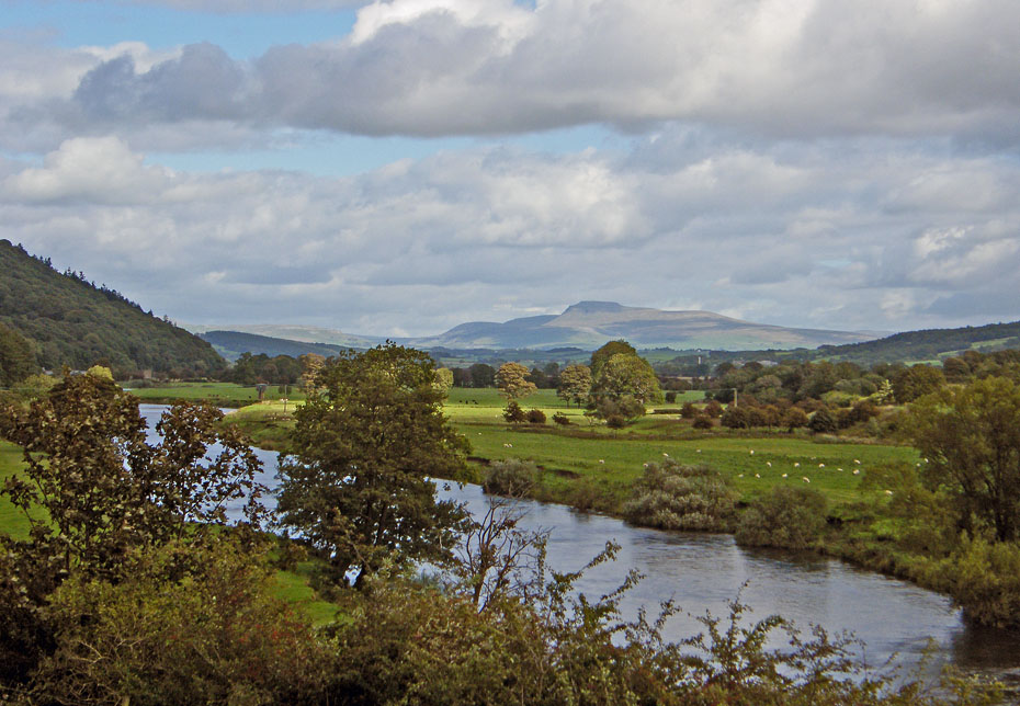
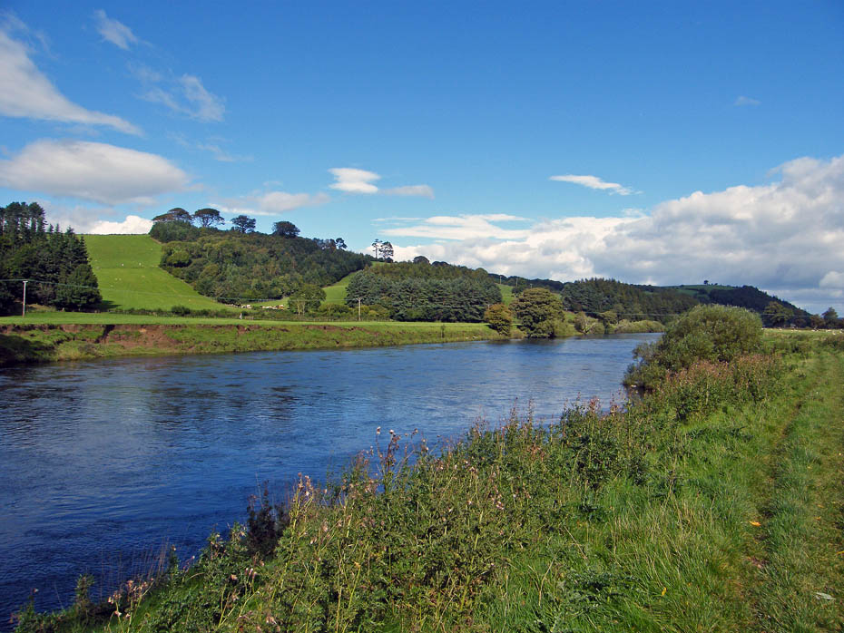
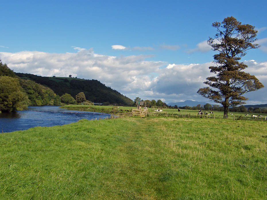
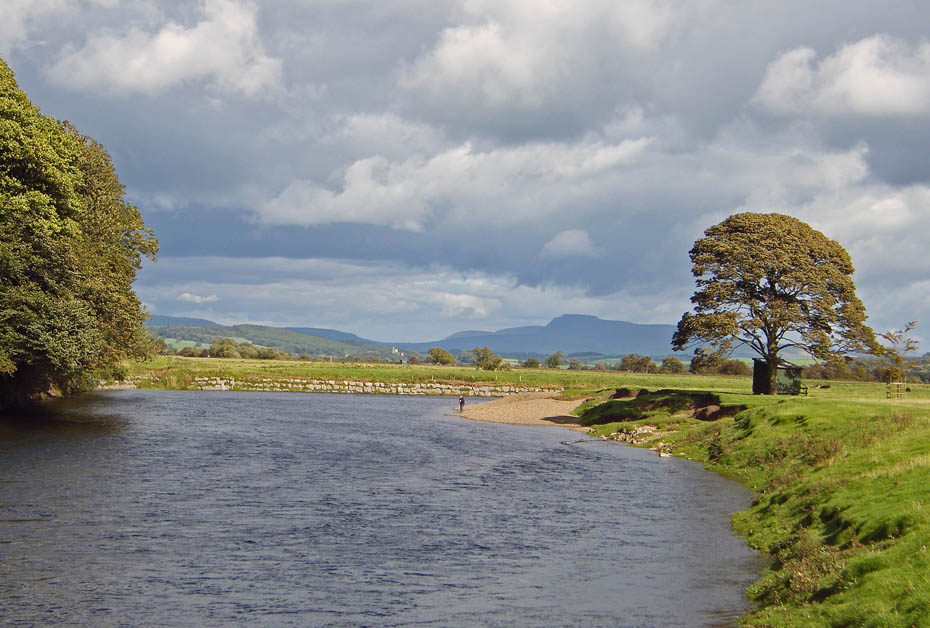
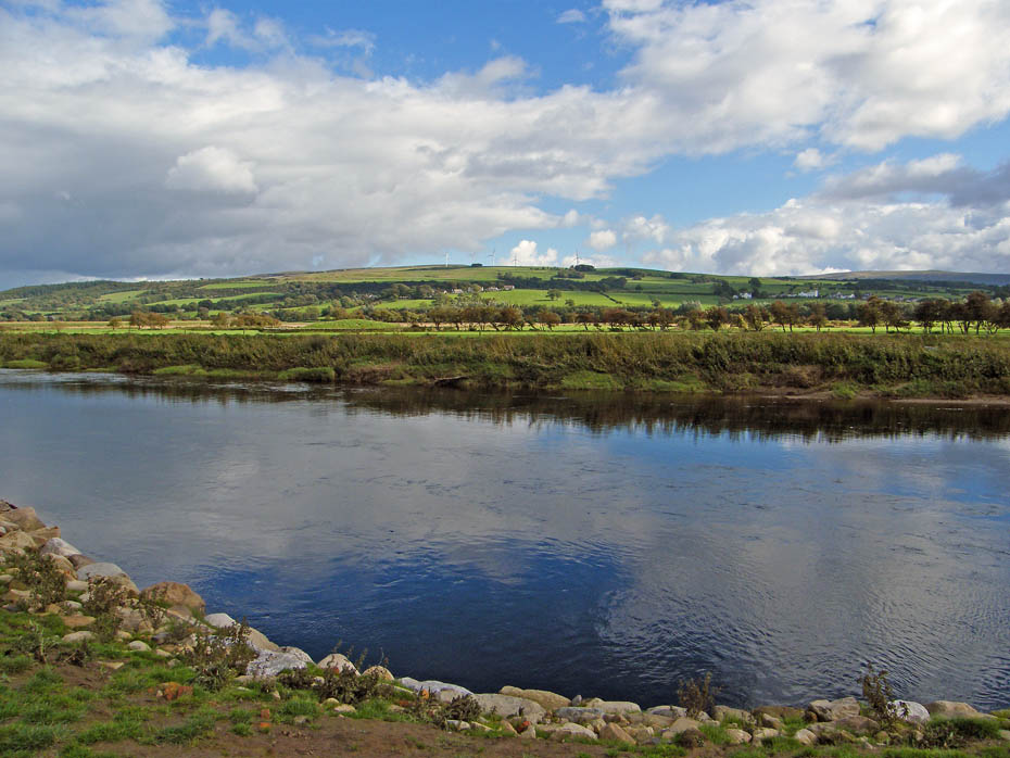
We arrived at the picnic site to this wonderful view up the Lune Valley towards Ingleborough.
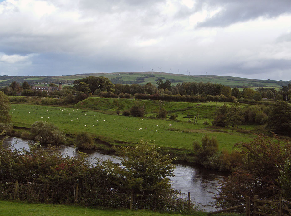
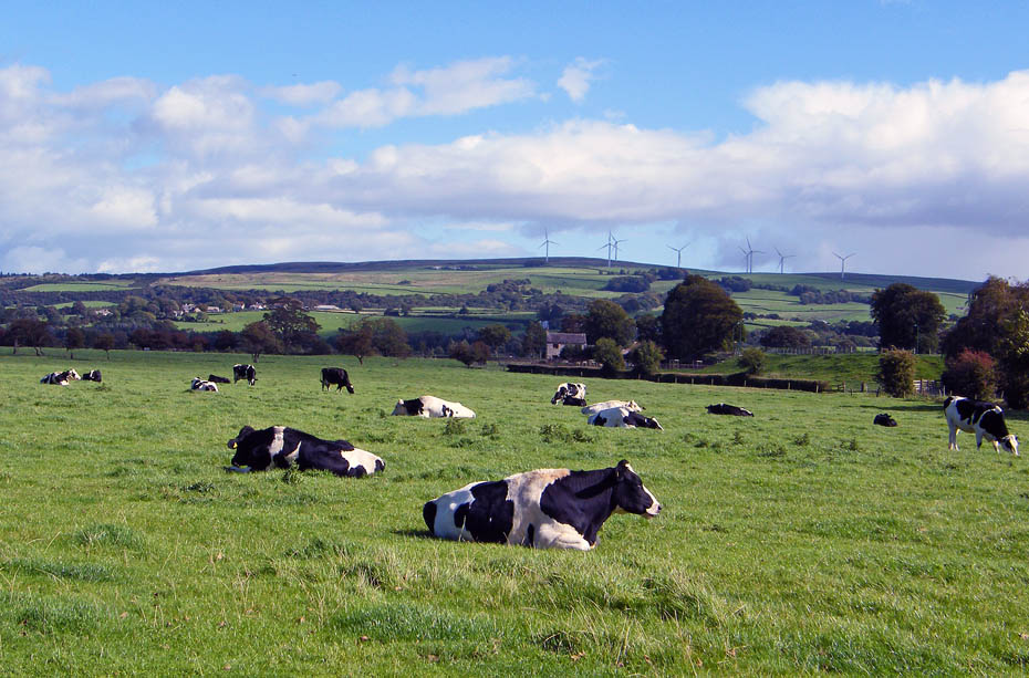
Across the river to the wind farm on Caton Moor.
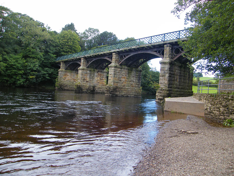
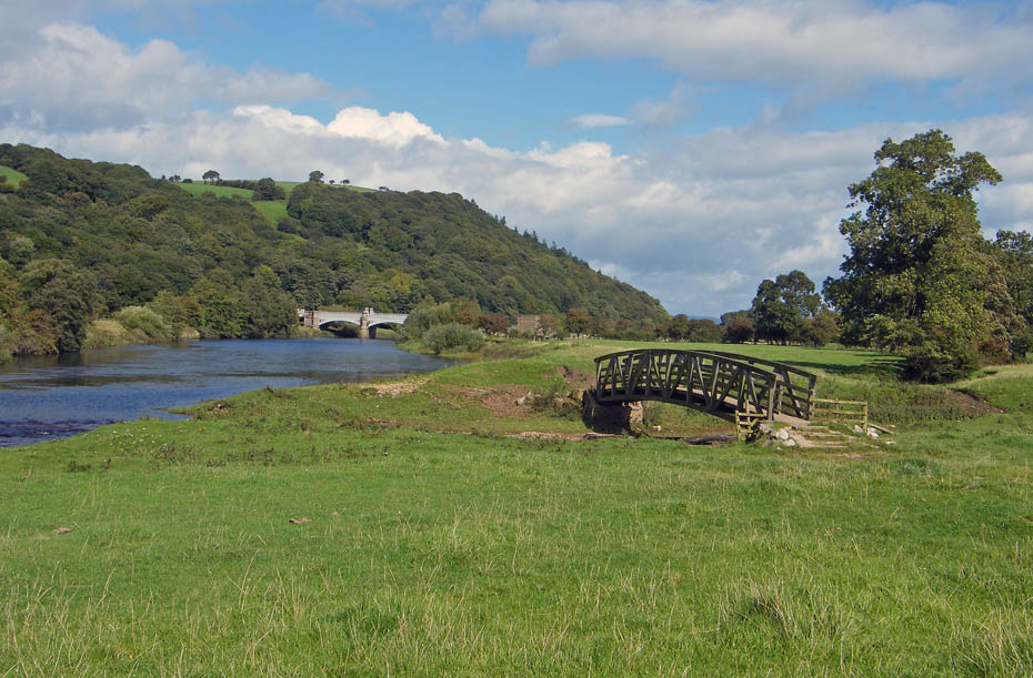
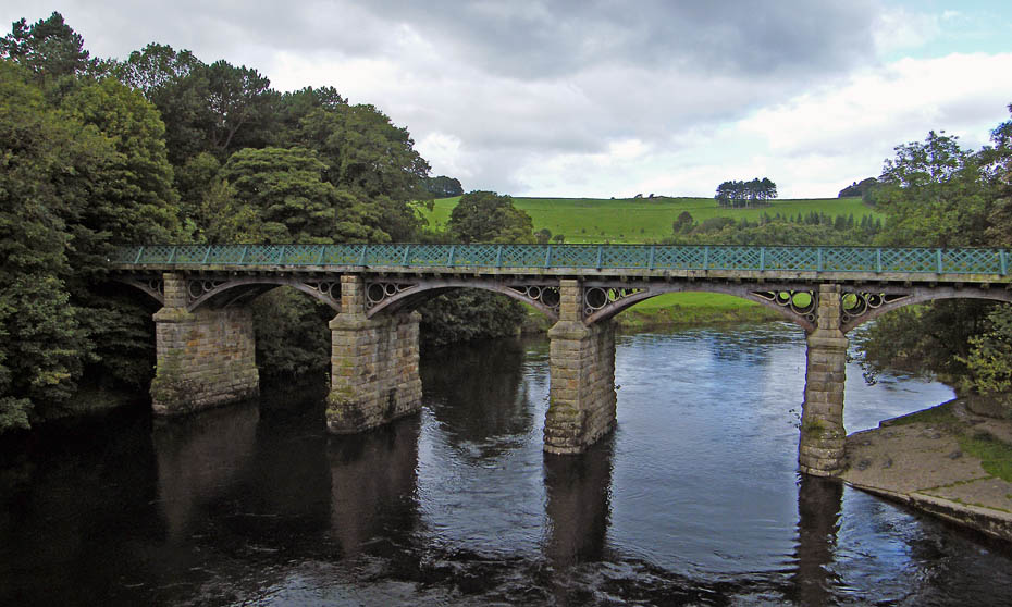
Before setting off up the river we went to have a look at the Crook O'Lune first taking time to have a look at the old railway bridge. It is one of two bridges, only 200 m apart, built across the River Lune by the "little North Western Railway in 1849, designed by Edmund Sharpe. The line closed in 1966, but the bridges are still in use as a cyclepath and footpath along the disused line.
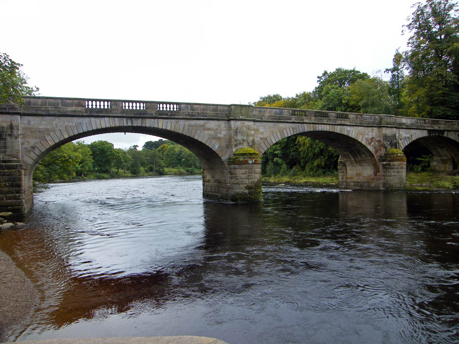
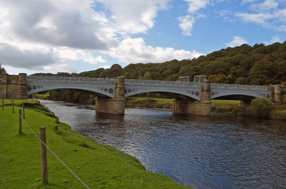
Penny Bridge carries the road over the river. Built in 1883 by Pale & Austin it is a Grade 11 Listed building.
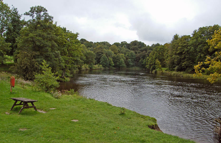
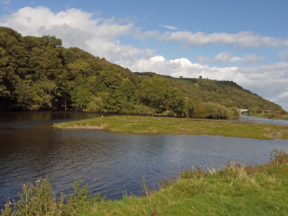
Looking downriver towards the bend in the river. The river is quite high but nowhere near flooding.
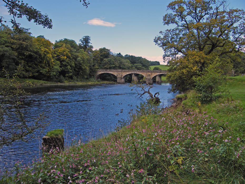
Looking upriver towards the bridges.
We then walked back to the railway bridge to pass underneath it and follow the bank upriver.
It's a nice afternoon and helps clear the head after the sad events of the morning.
Approaching the weir and the flow measuring station.
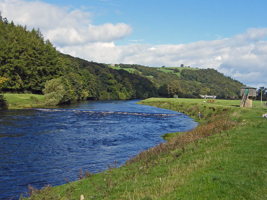
There are a number of anglers about. I'm not sure whether they are after Salmon or Trout but all apart from one were spinning.
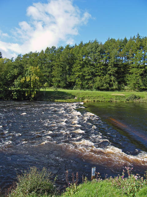
Plenty of water coming over the weir.
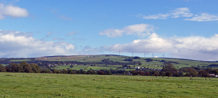
Caton Moor.....we must have a visit one day, it's been awhile since we were last up there.
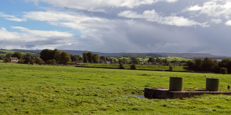
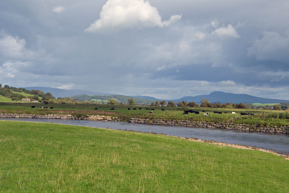
Looking over to the Bowland hills.
The footbridge over Artle Beck
The Waterworks Bridge. The bridge carries two pipelines that supply water from Thirlmere to Manchester across the Lune. It has been renovated and a footpath provided for walkers crossing the river.
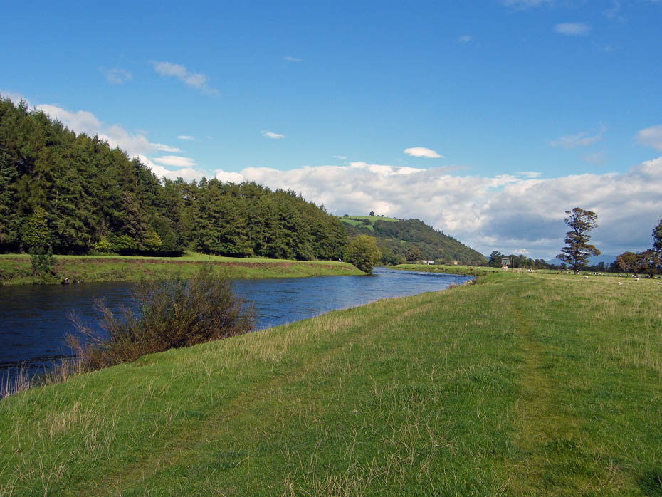
We are now approaching a point where the river will make a 180degree turn
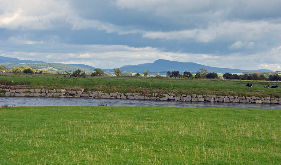
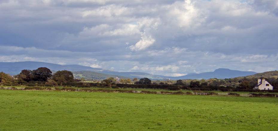
The far banking as been reinforced to prevent erosion. Look carefully and all the 3 Peakes of the YD3P are here. Ingleborough is obvious with Pen y ghent to its right and the Twistleton end of Whernside to the left.
We left the river to make our way back along the old railway line.
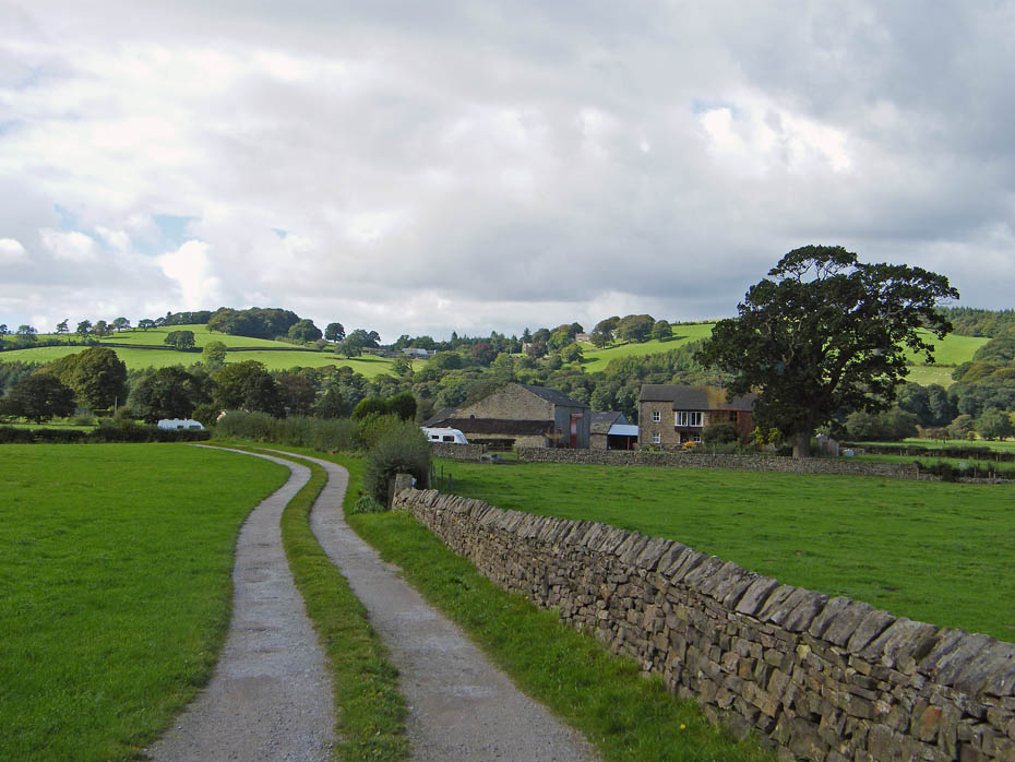
Ellers Farm
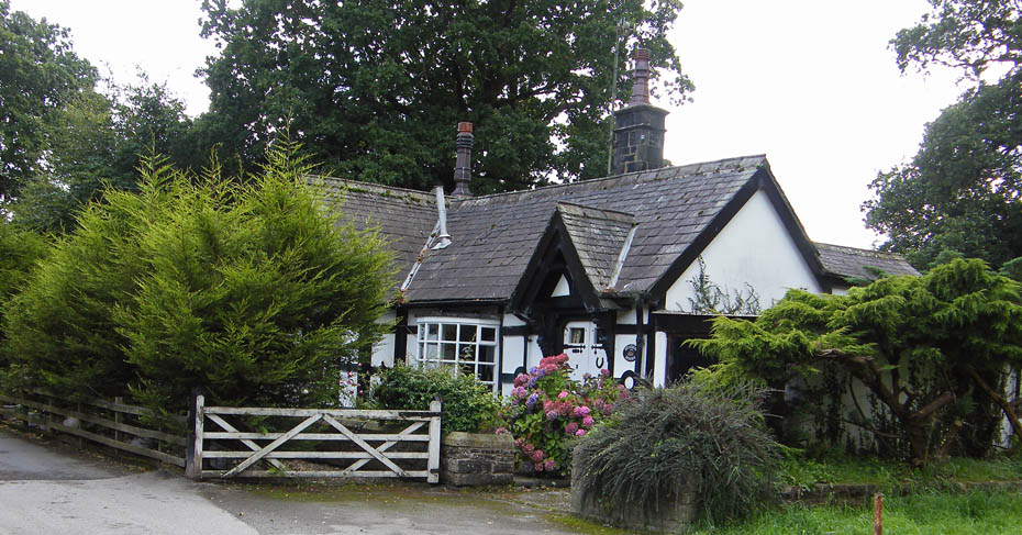
Station Cottage at Caton. It sits alongside the old railway line but I'm not sure whether it was a station or not.
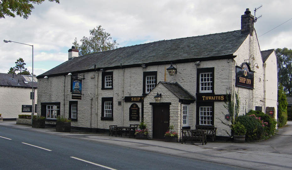
The Ship Inn at Caton. Since 1680 "The Ship" has offered refreshment to many travellers along the northern trade routes. The hostelry takes its name from an old mill, long since closed down, which manufactured sail cloth at this end of the village formerly known as "Townend".
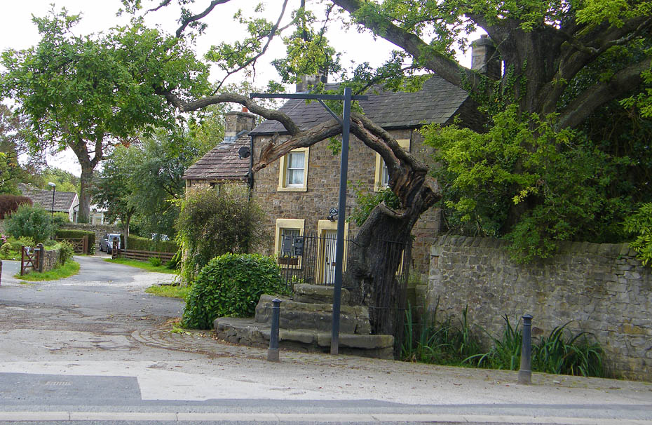
The Caton Fish Stones and Oak......“The three semi-circular sandstone steps, shaded by the oak tree, were used in medieval times by the monks of Cockersand Abbey to display and sell fish caught from the River Lune. The ancient oak tree, reputed to date back to the time of the druids, and the Fish Stones, have become a landmark and Symbol of Caton.”
And finally....the old railway bridge as we cross the road bridge.
Next Walk: 17th September 2010 - Lake District - Todd Crag and Loughrigg Tarn
Last Walk: 15th September 2010 - Lake District - Cunswick Fell
Do you have a Facebook or Twitter account. We post regular updates on both. Just click on either of the links below.
![]()

We hope you have enjoyed viewing this walk. If you have any comments please sign our Guestbook or E_Mail us.
