
| Area: | Forest of Bowland | Ascent: | 1200feet |
| Walk No: | 453 | Time: | 4hours 45minutes |
| Date: | 22nd September 2010 | Parking: | Bull Beck picnic site |
| Distance: | 8.75miles | Weather: | Fine with some sun at start becoming very hazy. |
| Route: |
For those of you that are thinking of going onto the hills I would strongly recommend that you read the advice given by the Mountain Rescue organisation of England and Wales. To read this advice, which will open in a new page please click HERE. If you would like to make a donation to the Mountain Rescue organisation which is purely voluntary please click HERE. Please make the time to read the advice page.
Over the years of walking we have many happy memories of walks we have done and enjoyed for various reasons. However today's walk is very unlikely to be retained in the mind because of a couple of silly mistakes which will be explained as the walk progresses. The day started quite sunny but the forecast was for rain later so we were parked up at the Bull Beck picnic site for around 9:15am having got through the traffic at Lancaster fairly easily. As the day progressed the sun became more hazy as the sky filled with high white cloud that made the light poor for pictures even if there had been views to see. I finished this walk totally beggared and now know that my limit is not as much as I had thought. However the walks done, the pictures taken and here for what it's worth is the report from the day.
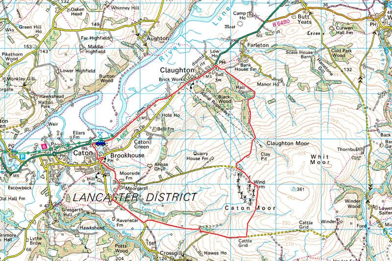
Route Map
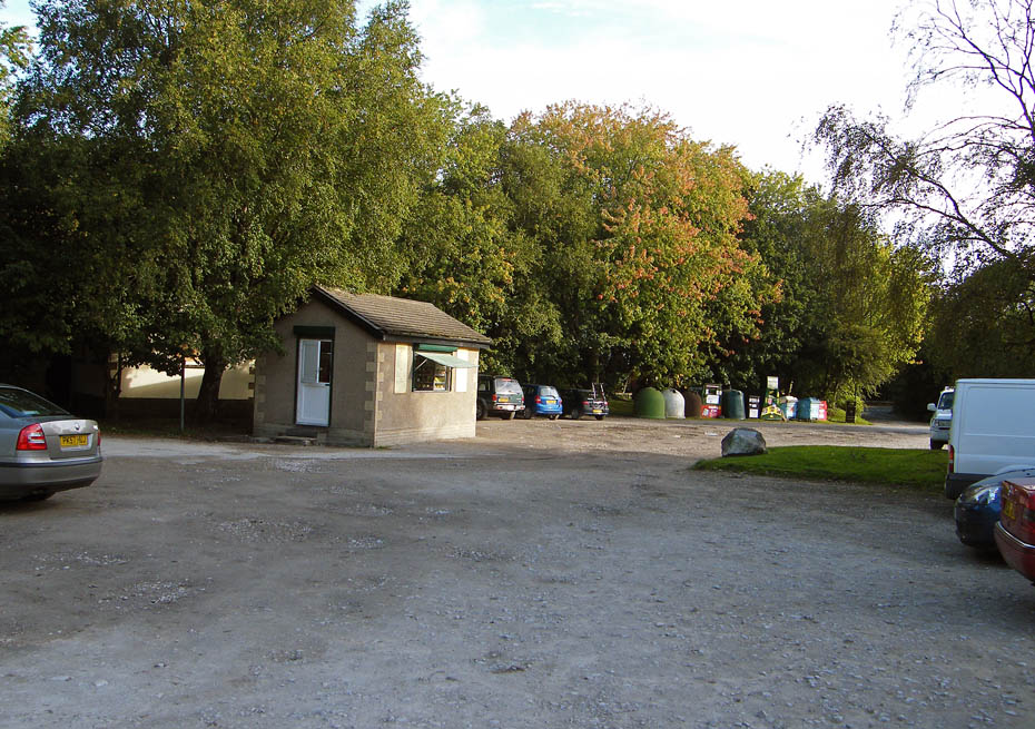
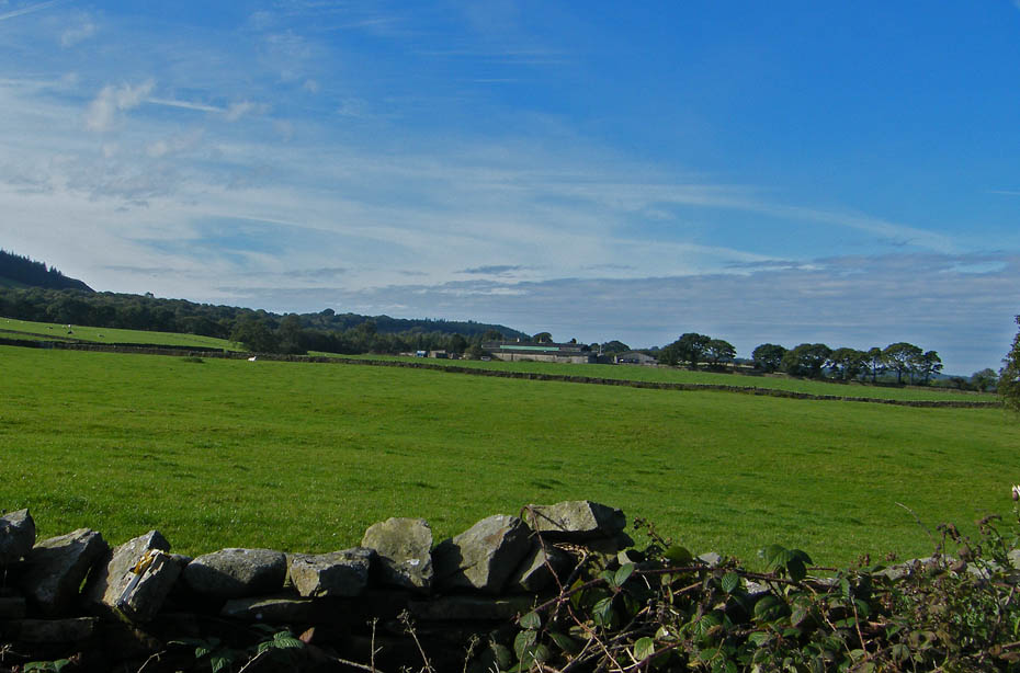
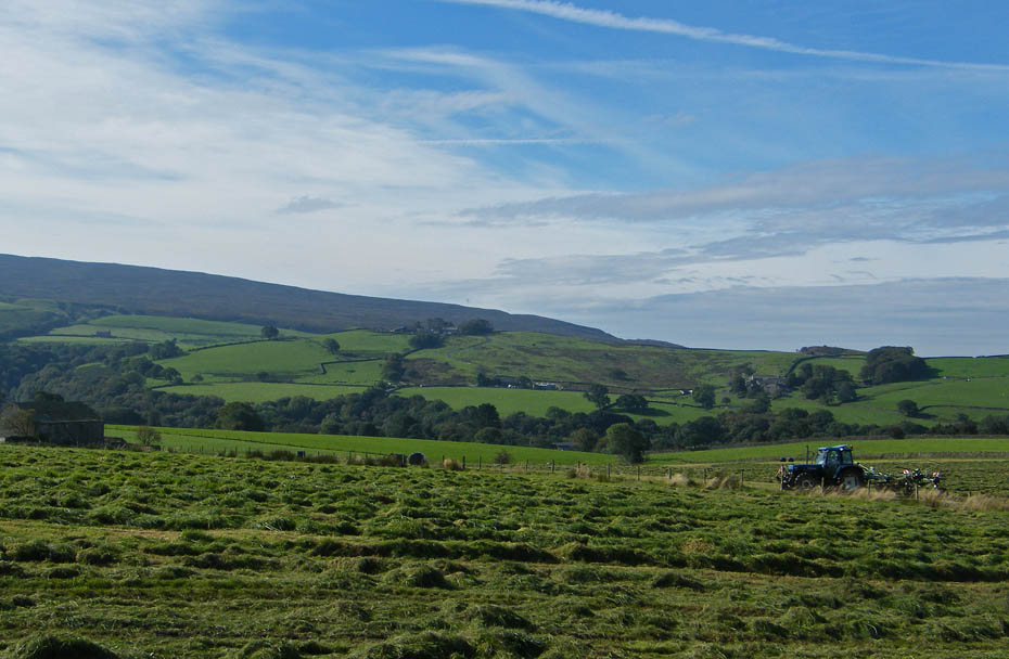
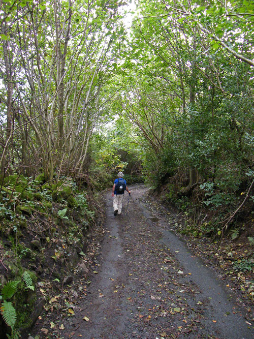
It had the makings of a nice day as we parked up at the Bull Beck picnic site. From here a short walk back down the road towards Caton took us to the lane up to Brookhouse.
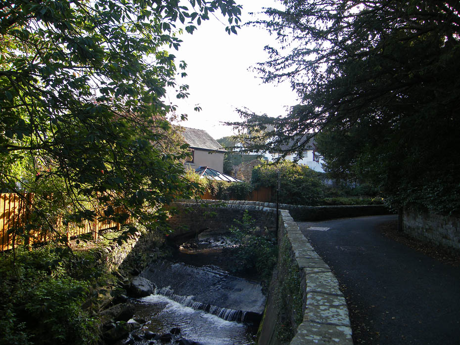
Tarn Brook
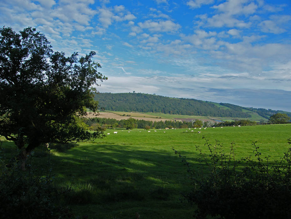
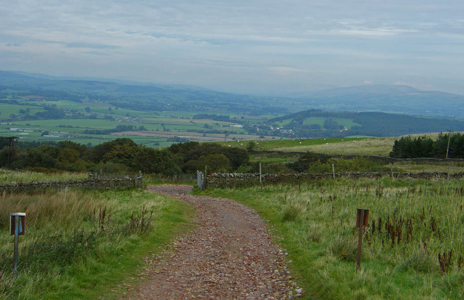
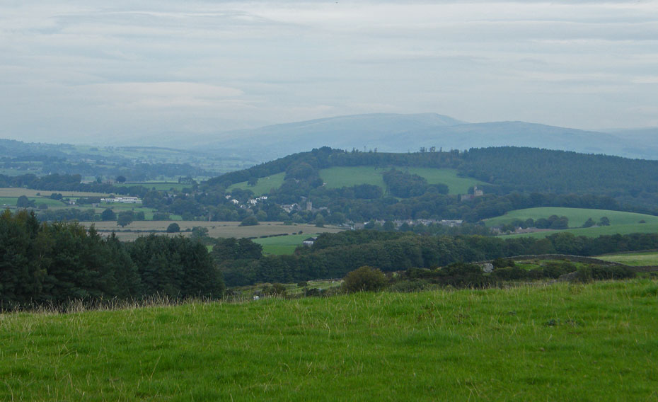
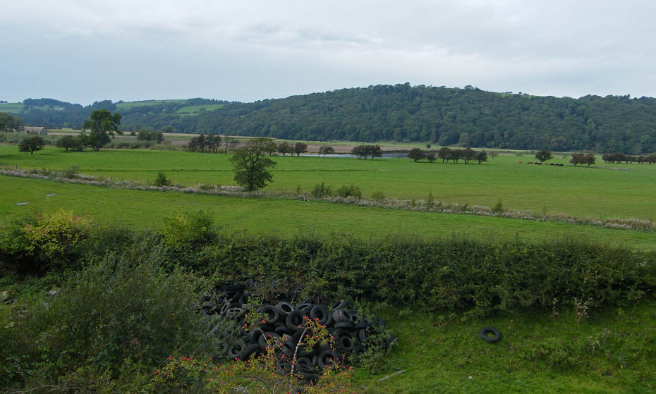
A look back across the Lune Valley.
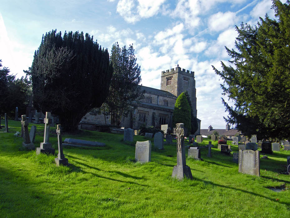
St Paul-with-Littledale Church, Broohouse.
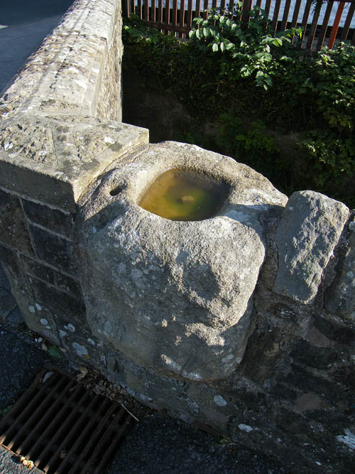
This is a "Plague Stone". Those unfortunate to catch the Plague would place money in the hollowed top which would be full of vinegar in exchange for food. The vinegar was said to sterilize the money.
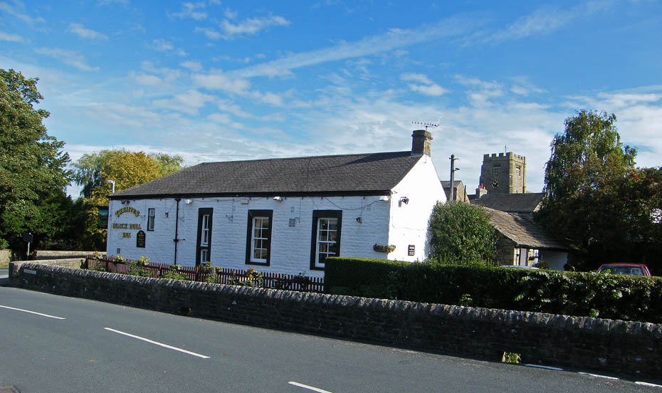
The plague stone is located at the corner of the wall near the Black Bull Inn. Around the point where we are standing the road to Caton Moor goes off to the left passing the school. Unfortunately there is little option but to road walk but it is a quiet road.
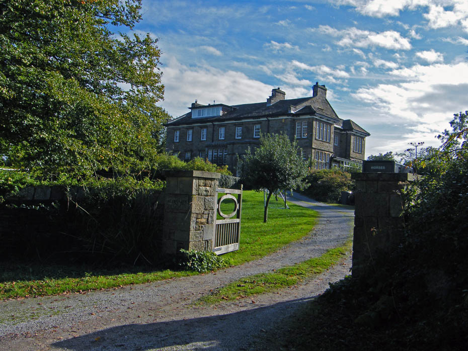
Moorgarth. It was at this point that mistake No.1 was made. Although deliberate it should not have been done without greater reference to the map. There was a choice of roads here, either the quarry road that we normally use to the left or the longer Littondale/Roeburndale road to the right. For a change I picked the latter......bad mistake.
The day was becoming quite warm as high clouds built blocking in the suns warmth.
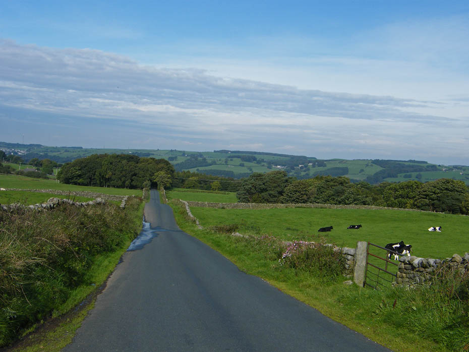
A look back along the road.
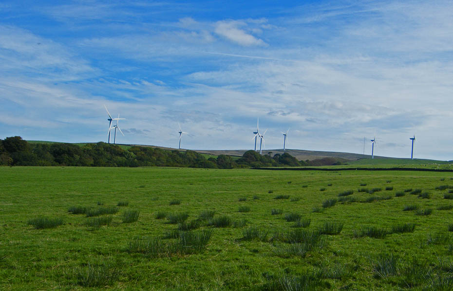
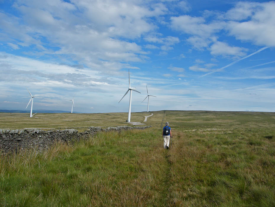
The wind-farm on Caton Moor. We want to be on the other side of it.
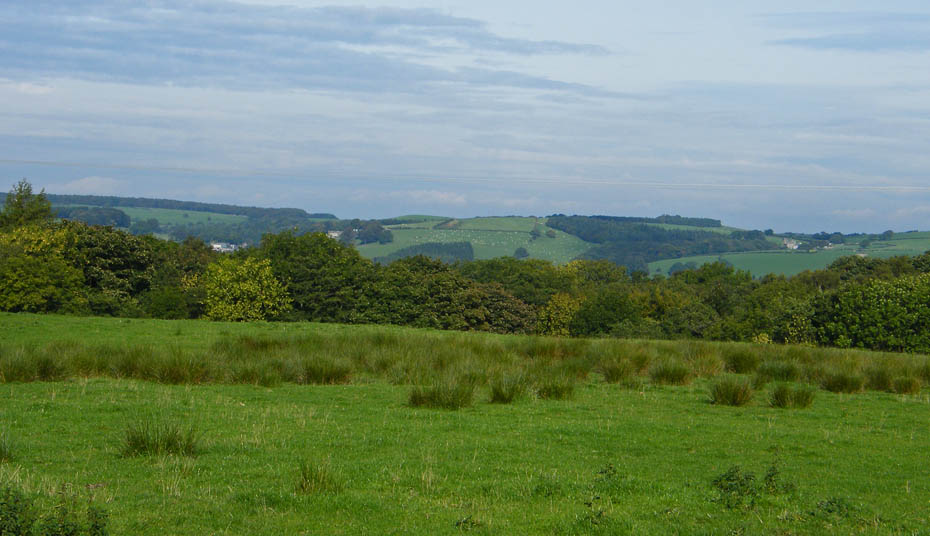
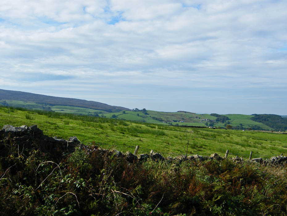
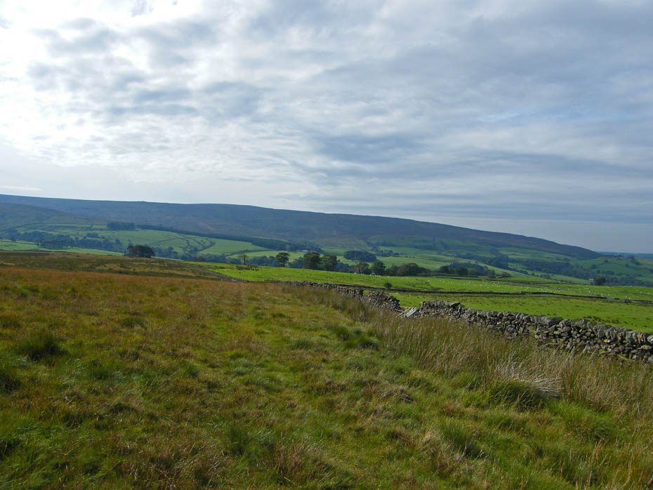
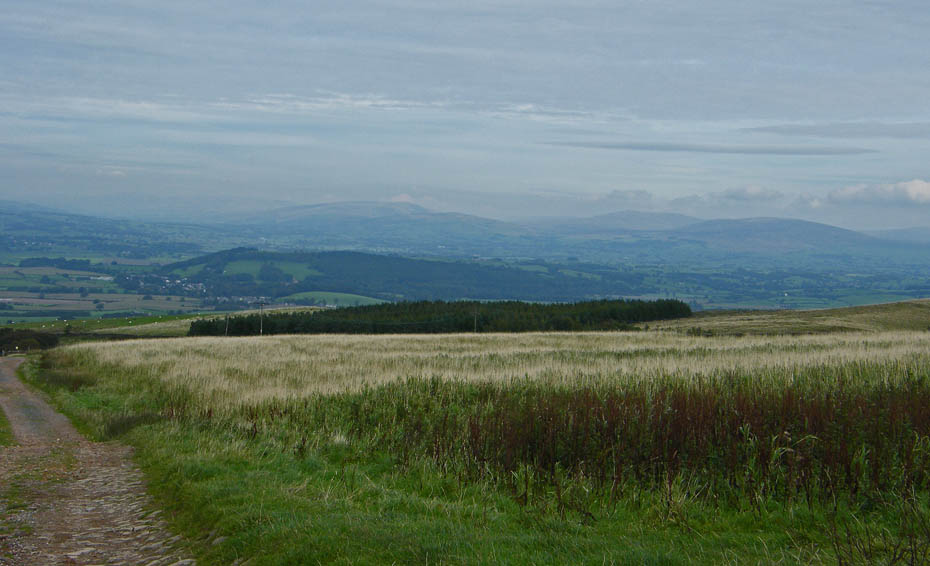
Looking across Littondale to Clougha Pike
There's still some way to go.
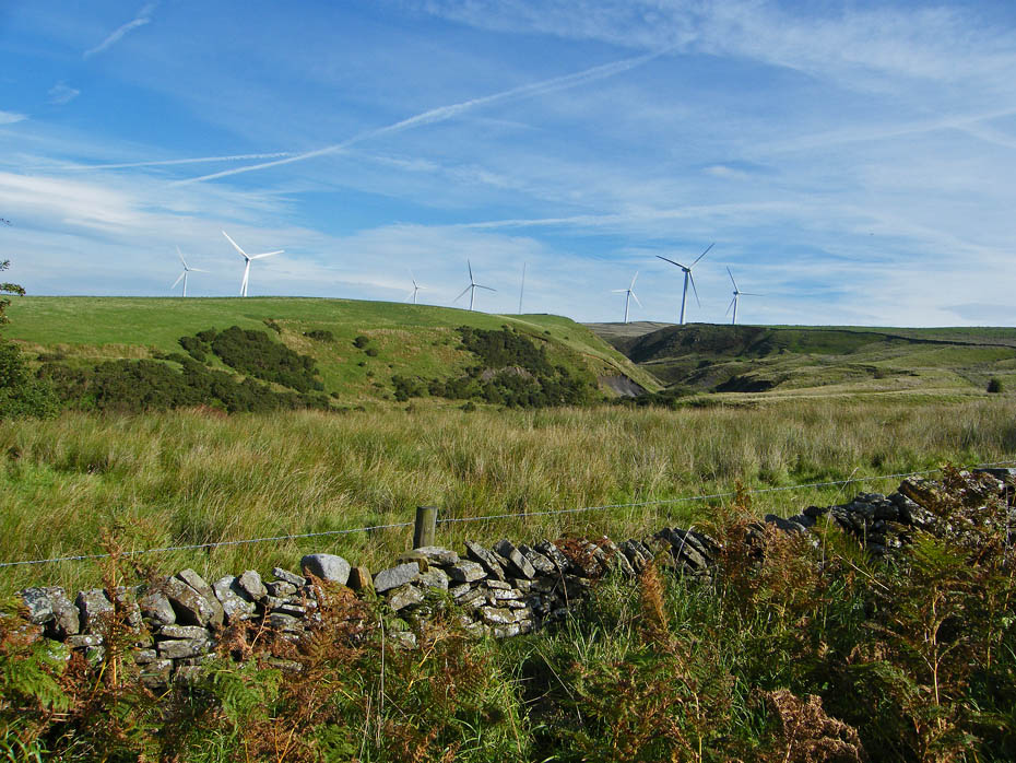
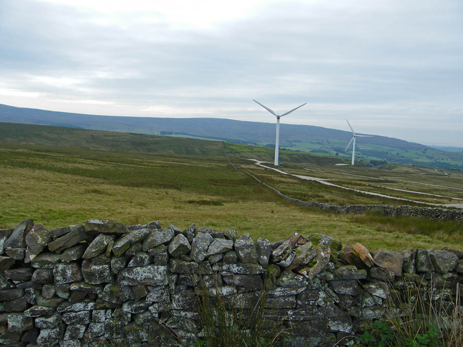
The wind farm over Greenholes Beck which we will have to cross in a while.
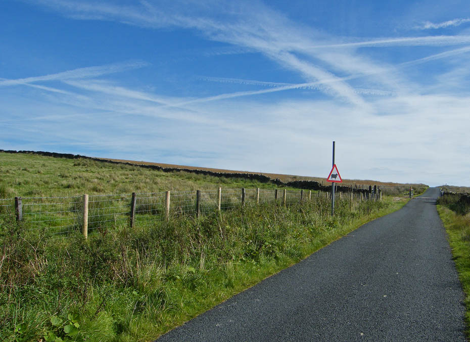
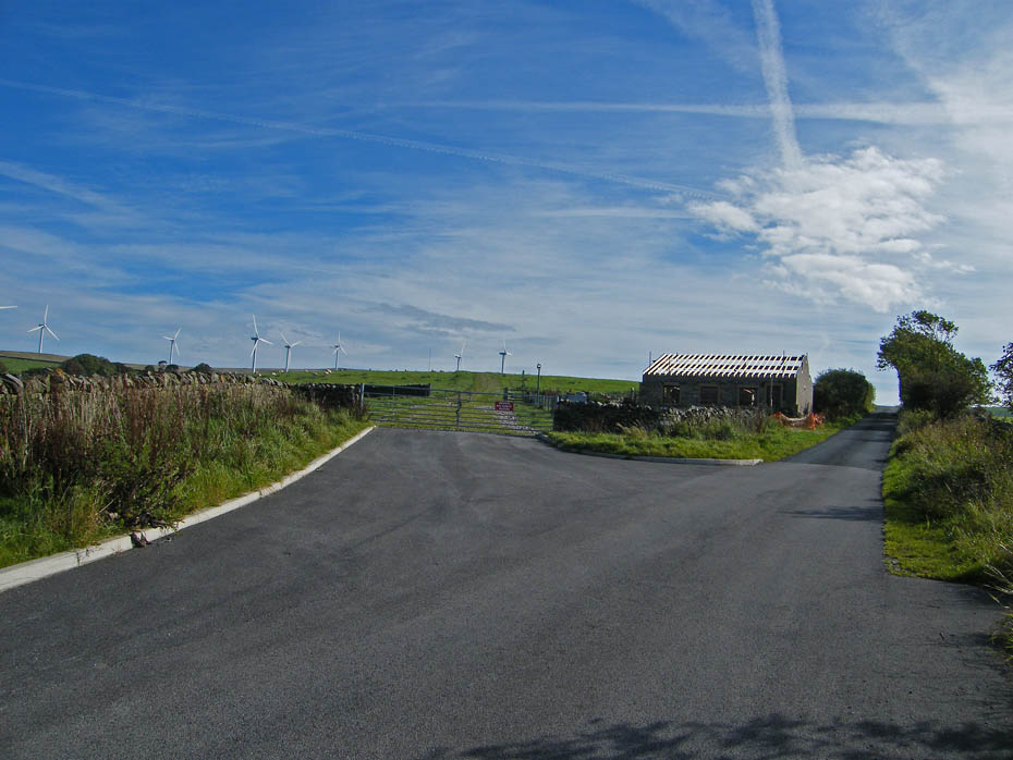
At last we reach the cattle grid that marks the boundary of the access land, but will there be a path, we haven't come this way before.
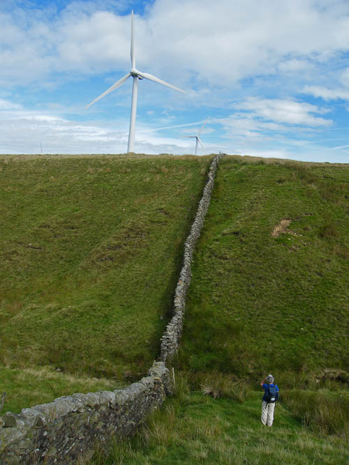
As I had suspected there was a path of sorts which followed the wall. Glad to be off the road we set off with spirits rising.
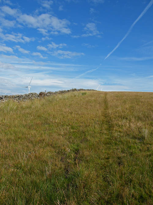
The first section was typical moorland, a little rough in places but no problems. The weather however was getting duller from the south.
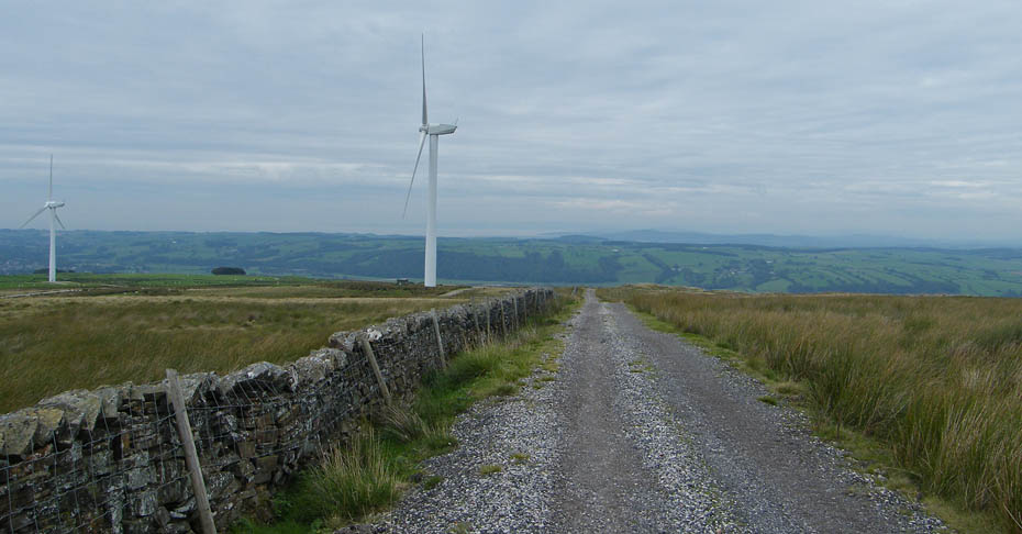
The way ahead. We could see a faint path all the way ahead but I was wondering whether it would be better to cross the wall and take the track through the wind farm which would take us to where we wanted to be.
A steep descent and equally steep re-ascent up Greenhole Beck. This is where mistake No.2 was made. There was an opportunity to cross the wall where the beck ran through it. I could see that previous walkers had crossed there as there was a path leading up to the wind farm track. However I decided to carry on ahead.....bad mistake.
After crossing the beck the section from there to this wall was for me very hard work. The ground was either rough or very wet and sticky and I admit that I was really struggling. Also having reached the wall there was no apparent crossing point. Fortunately for us some other pilgrim must have encountered a similar problem and pushed over the top 18" or so of the wall which enabled us to get over. This is something I can't condone in any way but must admit I was happy to see that hole.
From our exit point there was a short walk down to the quarry road we normally use.
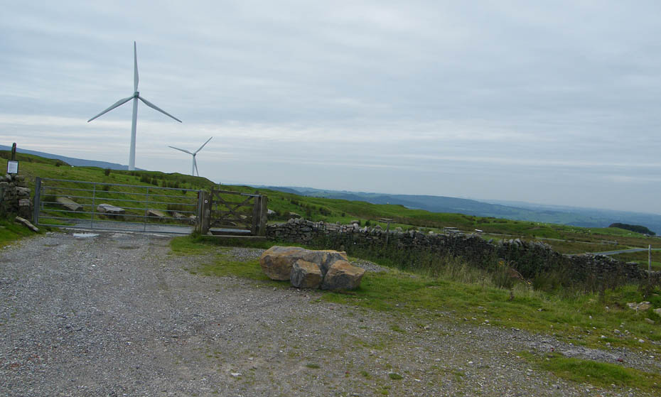
OK, so we are now where we would have ended up if Mistake No.1 had not been made. You can actually drive up to here and there are a number of picnic tables available.......message to self....bl**dy remember that if you ever come up here again. It should also be mentioned that my better half concerned at my struggles wanted me to cut the walk short here but after saying it was all downhill from here I persuaded her otherwise. Not exactly Mistake No.3 but the views weren't much and the buttie bar was at the car park.
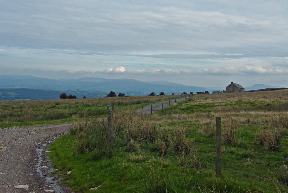
We set off along the lane towards Moorcock Hall with hazy views of Middleton Fell, Great Coum, Whernside and Ingleborough ahead.
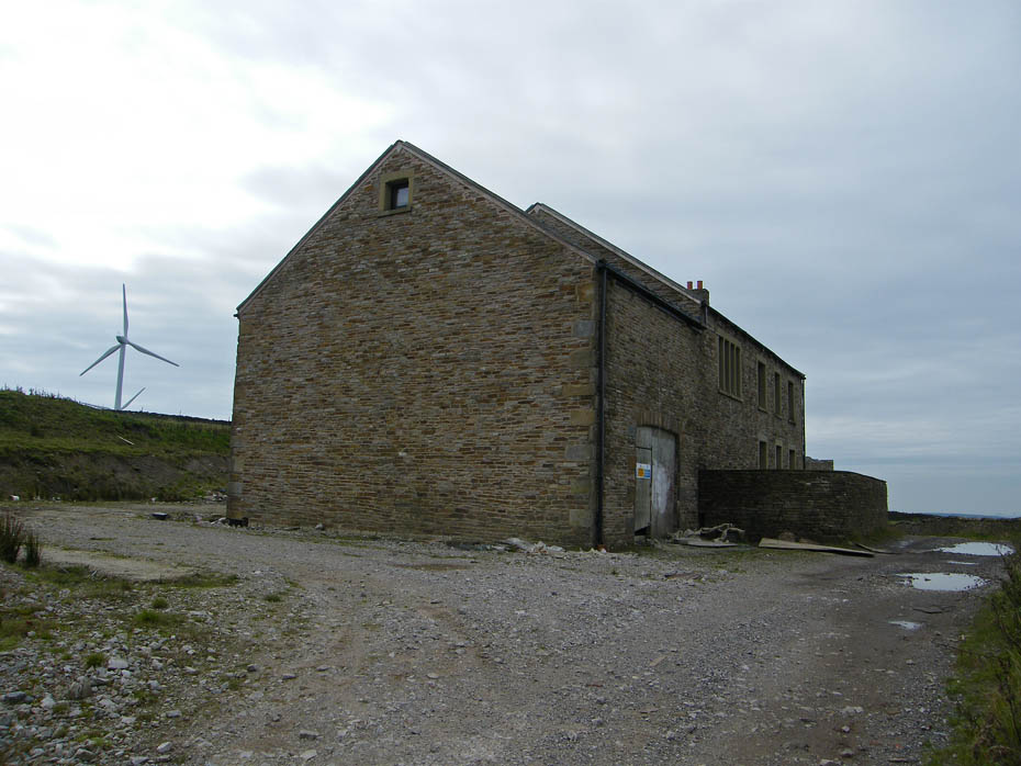
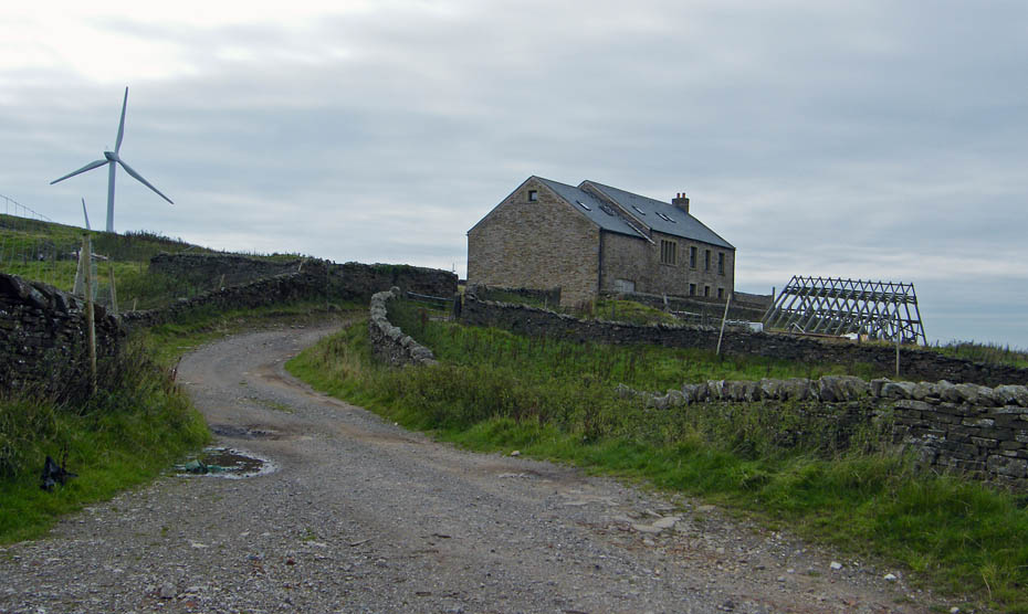
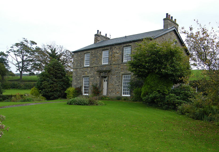
Moorcock Hall. We last passed here in January 2008 when it was under scaffolding. I'm not sure what as happened since but there are no signs of occupancy.
I think it was around this point that I wished I had given Ediths suggestion a little more thought.
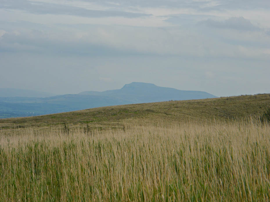
An hazy Ingleborough.
The track is reinforced with housebricks probably from the brickworks in the valley below us.
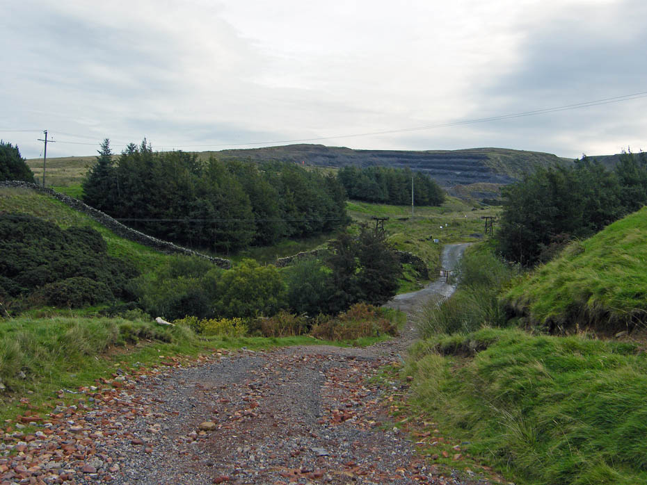
Ahead of us is the clay pit where the clay is taken for the brickworks.
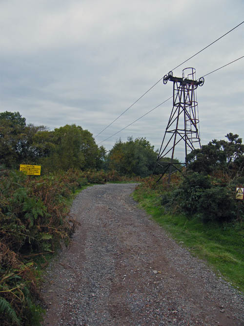
The clay is transported to the brickworks using this aerial ropeway. Little changed since its construction in 1924, the ropeway is used to bring shale from a quarry on Claughton Moor, approximately a mile and a quarter distant from, and 750 ft above, Hanson Brick Works. The ropeway is powered by gravity. The extra weight of the loaded buckets pulls the empties back to the loading point. There is a braking system to maintain the correct speed and allow the rope to be brought to a controlled stand when required.
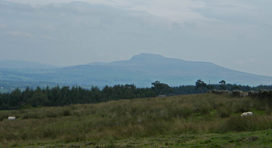
Ingleborough.
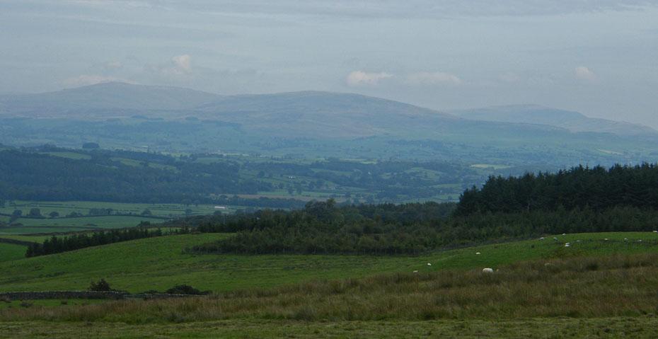
Great Coum, Gragareth and Whenside.
Barbon Low Fell and Middleton Fell with Hornby in the valley
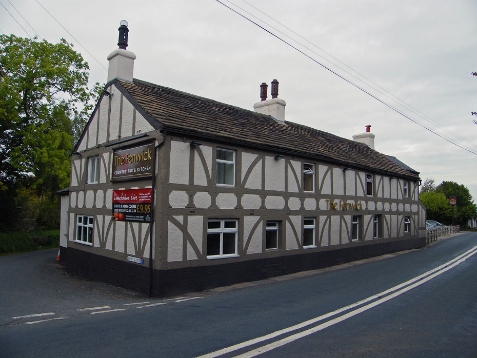
The Fenwick at Claughton. From here I had intended to follow the River Lune downstream to the Bull Beck but having had enough of wet, sticky ground we settled for the walk.
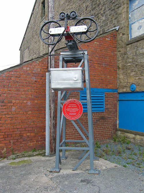
Transport Heritage....The Aerial Ropeway is the last working one in the country but sadly due to lack of demand in these hard times it is not currently operational.
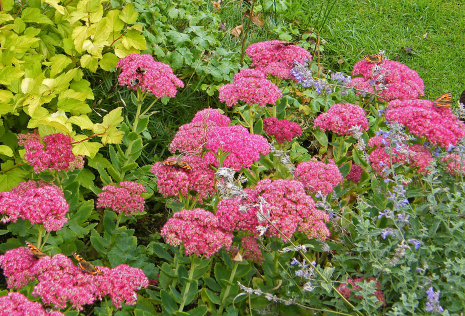
We have one of these in the garden. The butterflies and bees love it, no idea what it is though.
Nearly back.
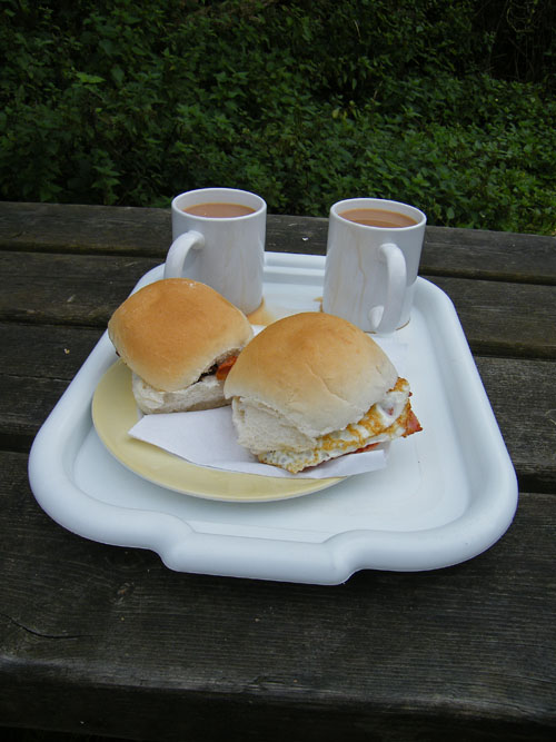
Yes!!!!......the days events are soon forgotten. I need to have a word with the boss-lady about spilling the tea though. ;-)
Next Walk: 24th September 2010 - Lake District - Hampsfield from Spring Bank
Last Walk: 21st September 2010 - Local - Glasson by river & canal
Do you have a Facebook or Twitter account. We post regular updates on both. Just click on either of the links below.
![]()

We hope you have enjoyed viewing this walk. If you have any comments please sign our Guestbook or E_Mail us.
