
| Area: | South Cumbria | Ascent: | 650feet |
| Walk No: | 456 | Time: | 2hours 45minutes |
| Date: | 26th September 2010 | Parking: | Lay-by on A6 just south of Beetham (SD502789) |
| 66Distance: | 5.50miles | Weather: | Fine and mainly sunny |
| Route: |
For those of you that are thinking of going onto the hills I would strongly recommend that you read the advice given by the Mountain Rescue organisation of England and Wales. To read this advice, which will open in a new page please click HERE. If you would like to make a donation to the Mountain Rescue organisation which is purely voluntary please click HERE. Please make the time to read the advice page.
My right knee is really giving me some gyp at present. Having decided that I would give it a few days rest in the coming week I just wanted something nice and steady for today. We set off with the intention of going to the Lakes for a walk up Orrest Head but as we approached Beetham on the A6 I asked Edith if she was happy with doing this walk, and, receiving a positive reply pulled into the lay-by just south of the village.
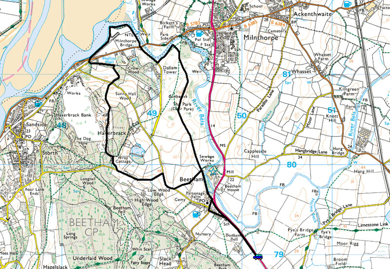
Route Map
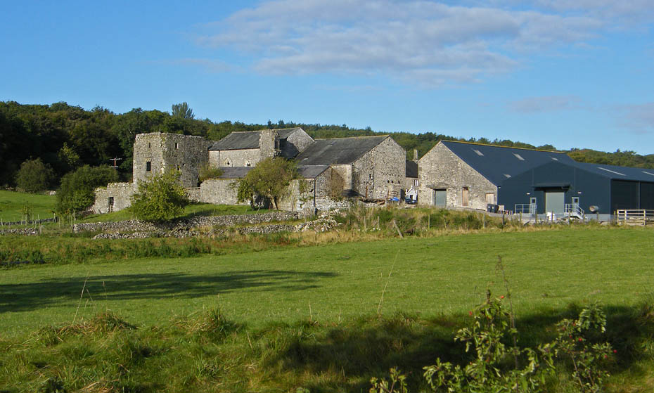
Beetham Hall from the lay by where we parked.
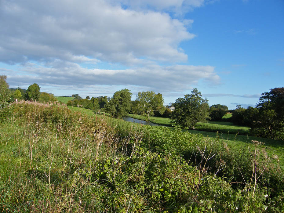
A glimpse of the River Bela as we walked towards Beetham.
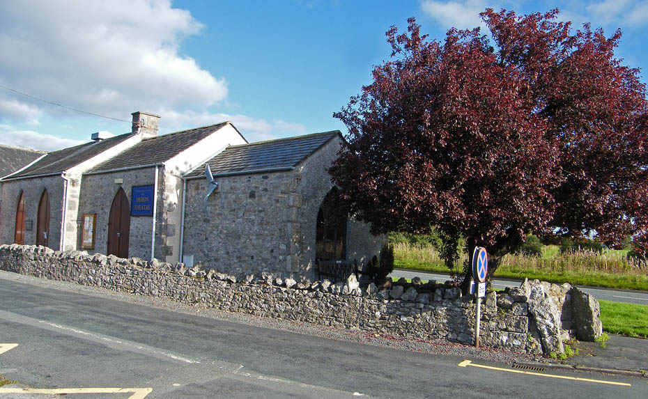
The Heron Theatre at Beetham.
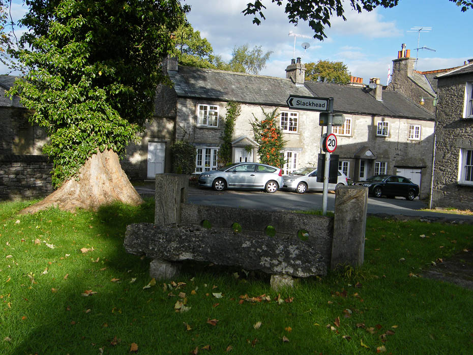
The stocks in the village centre.
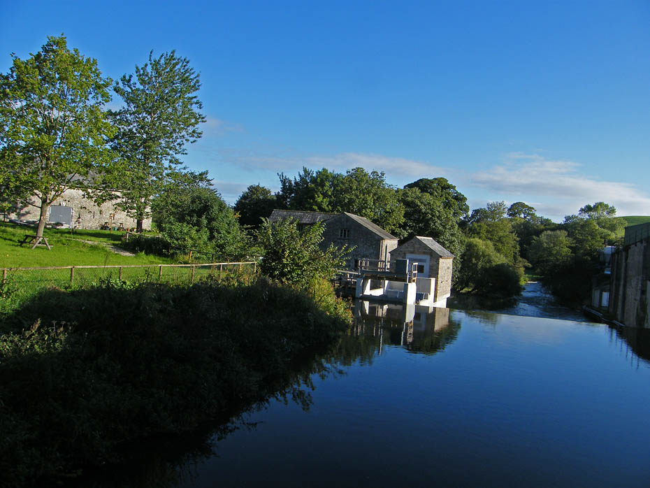
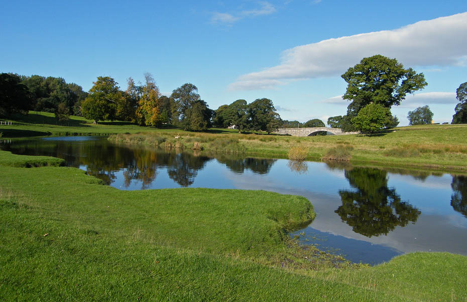
We entered Dallam Park near the Corn Mill.
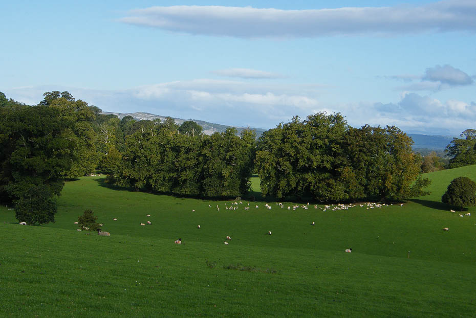
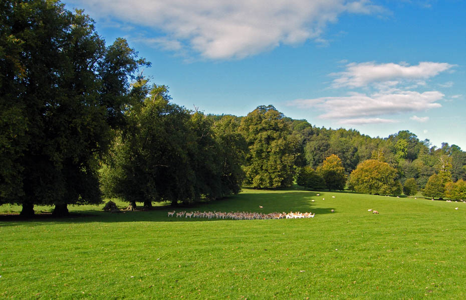
From the top of the first rise we could see the deer below under the trees.
It is difficult sneaking up on them as there is a wide open space between us.
Just as we were getting closer a group of walkers approaching from the other direction behind the trees spooked them.
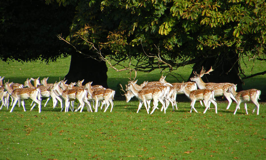
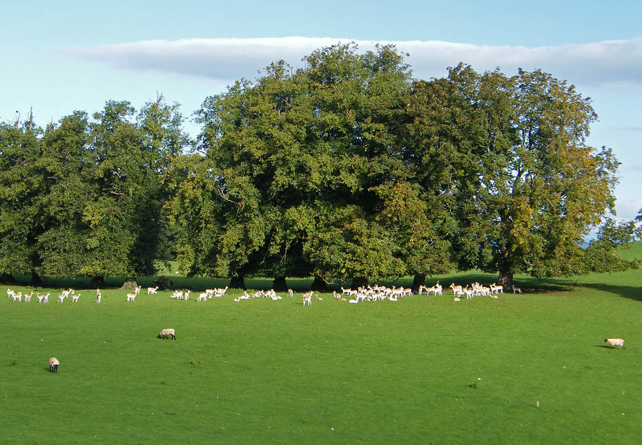
And off they went.
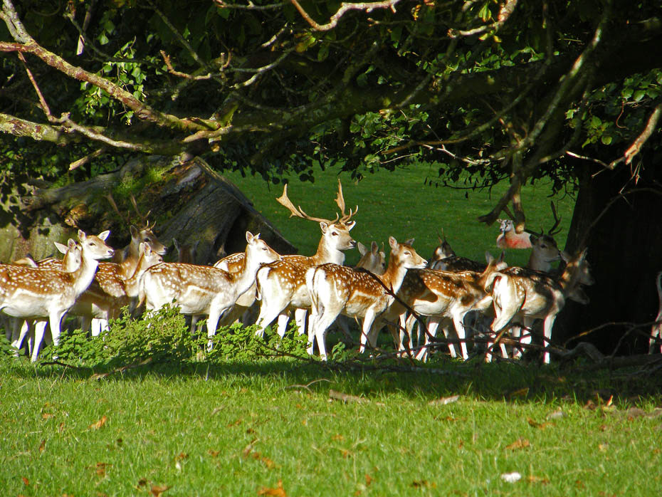
However they didn't go far and with a bit of patience, not a virtue I am blessed with, I managed to get this shot of them.
I think they are wondering which way to go.
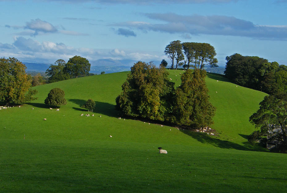
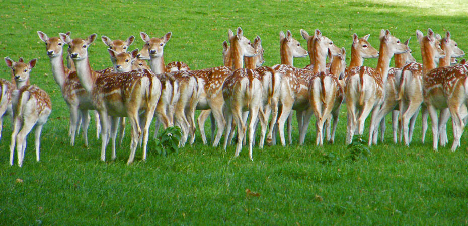
Leaving the deer in peace we made our way to the highest point of the park.
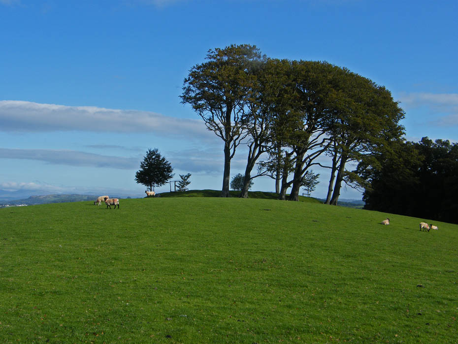
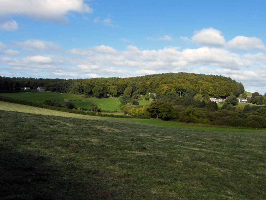
Making our way up to the highest part of the park the site of an Iron Age Hill fort.
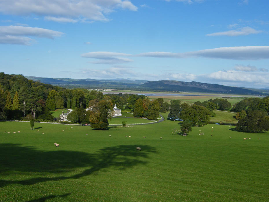
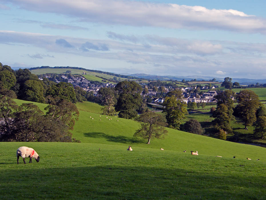
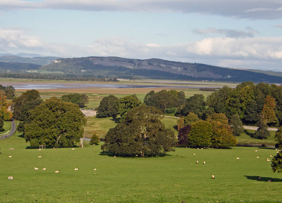
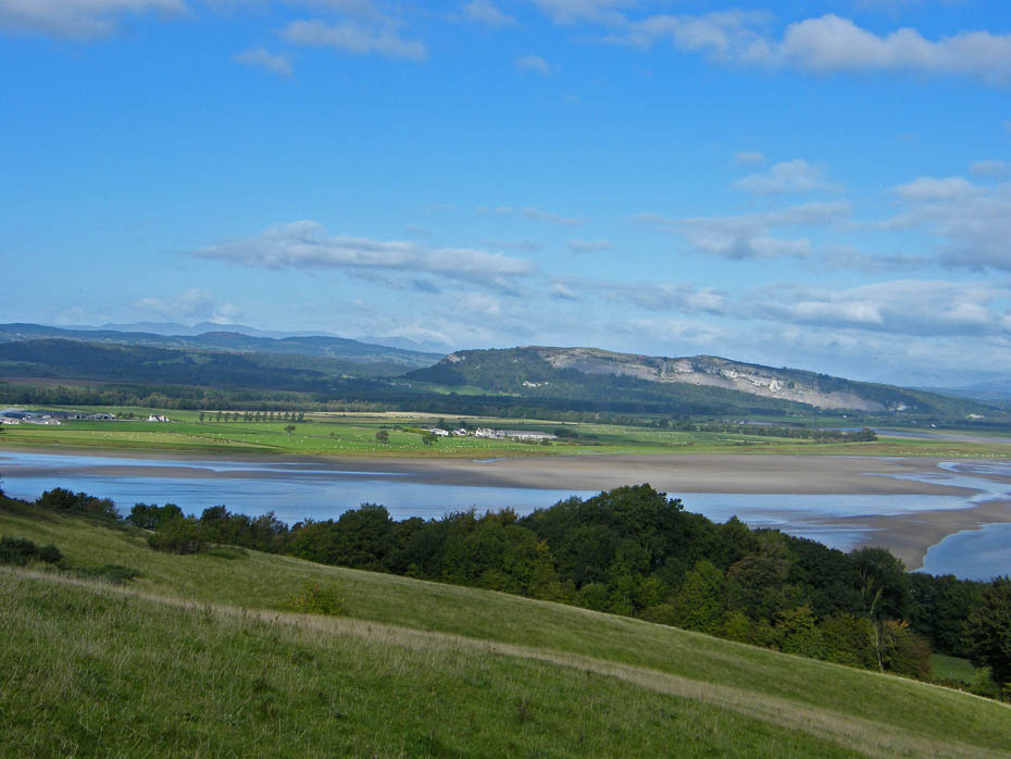
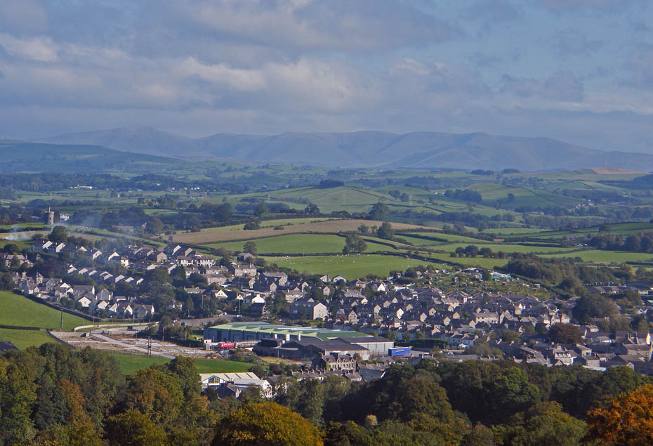
The view from the top over the Kent estuary to Whitbarrow and Lakeland.
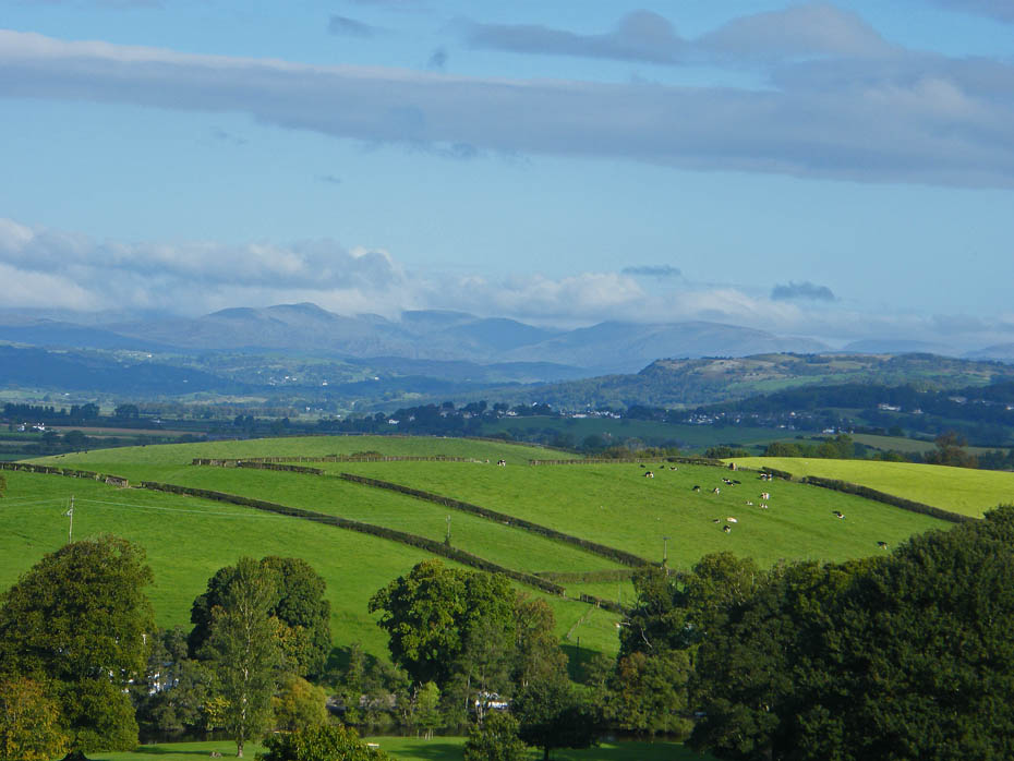
A close up of Scout Scar with the Kentmere fells beyond.

Howgills over Milnthorpe.
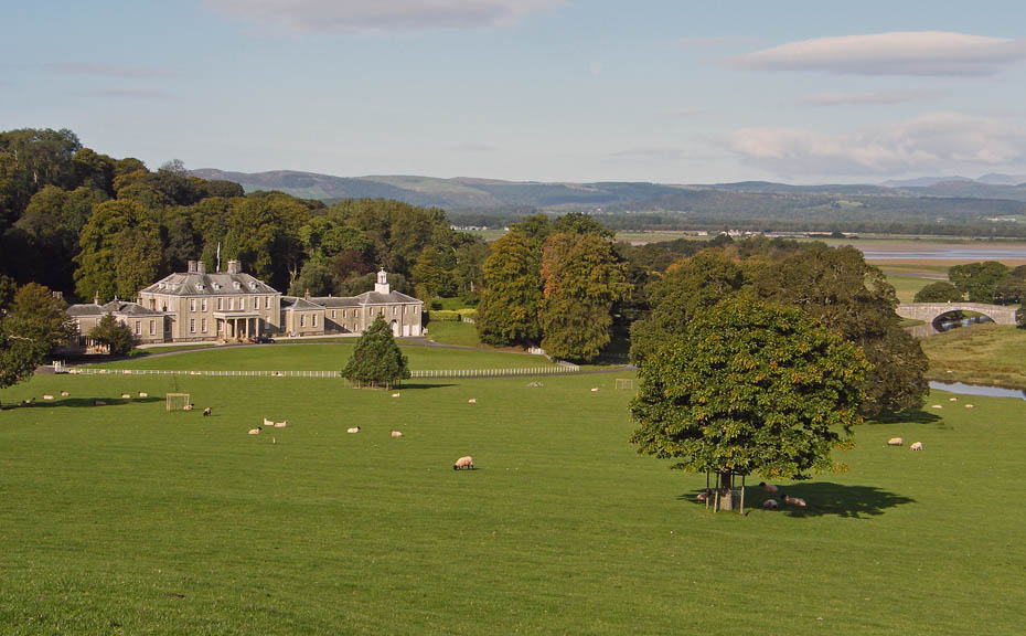
Looking down on Dallam Tower as we start to descend.
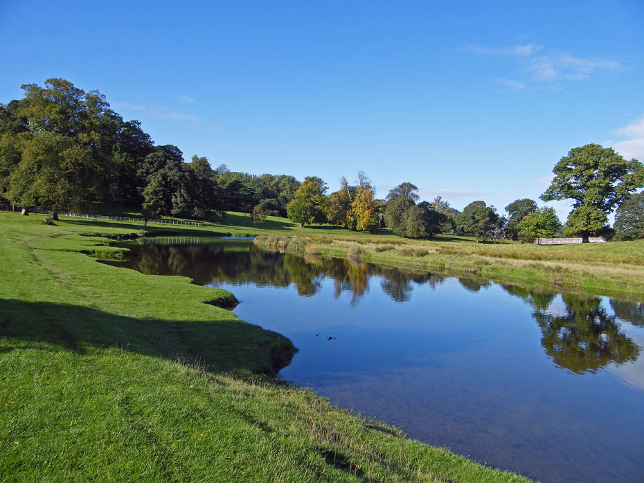
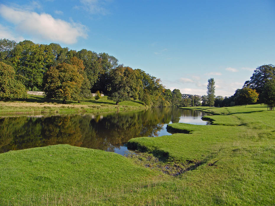
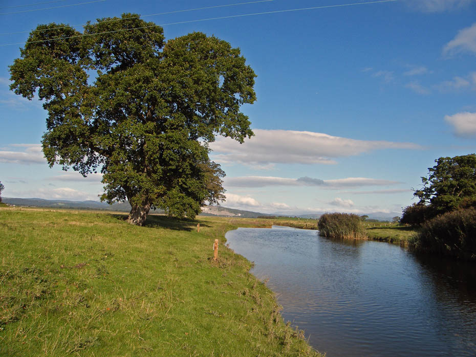
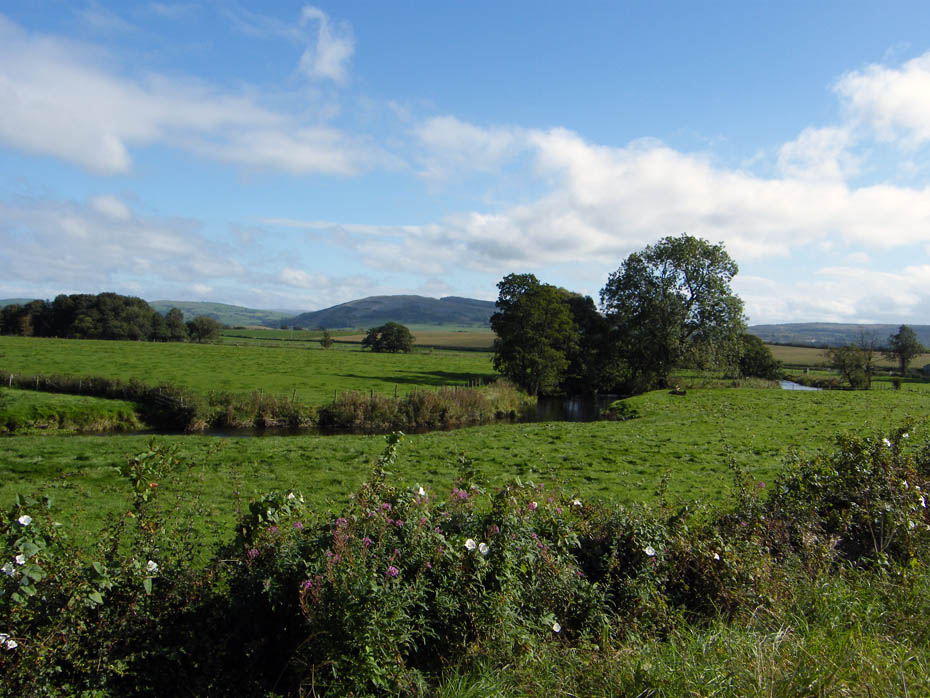
The River Bela
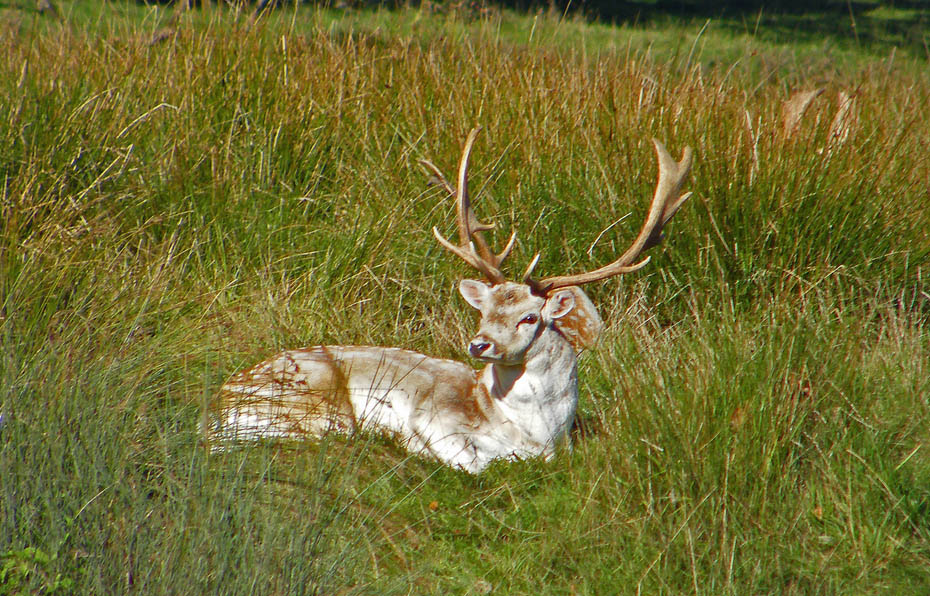
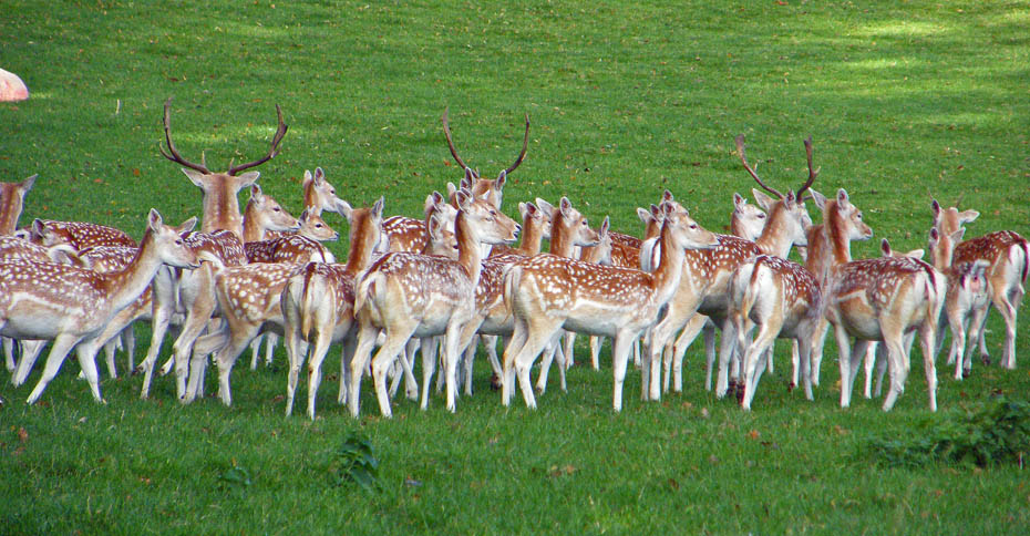
More stags in the grass on the other side.

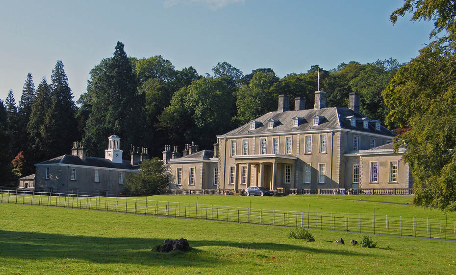
Dallam Tower

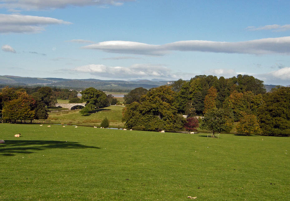
Milnthorpe Bridge, which carries the road to Arnside over the River Bela. We would walk down to the bridge to cross the road....
....and follow the river downstream.
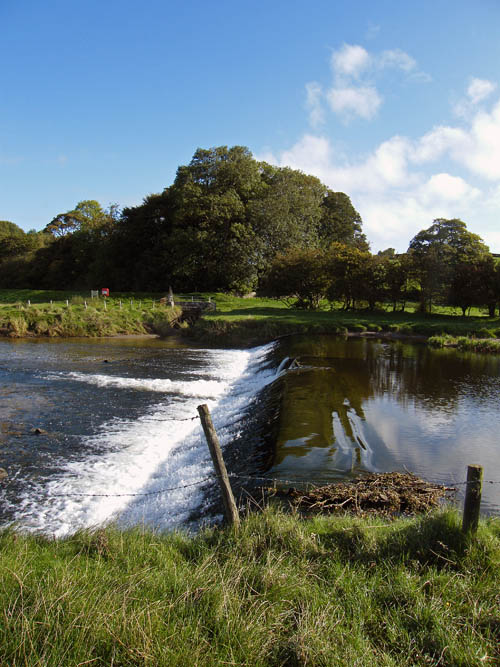
The weir defines the salt/fresh water border of the river.
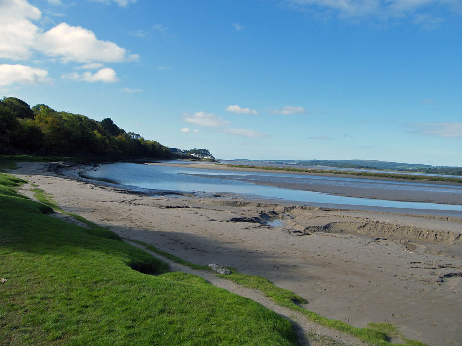
Below the weir the river continues a while before joining the estuary of the River Kent. At this point it becomes tidal.
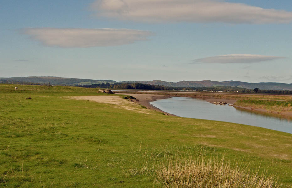
Looking down the Kent estuary towards Sandside and Arnside. The Arnside viaduct is just visible in mid picture.
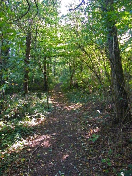

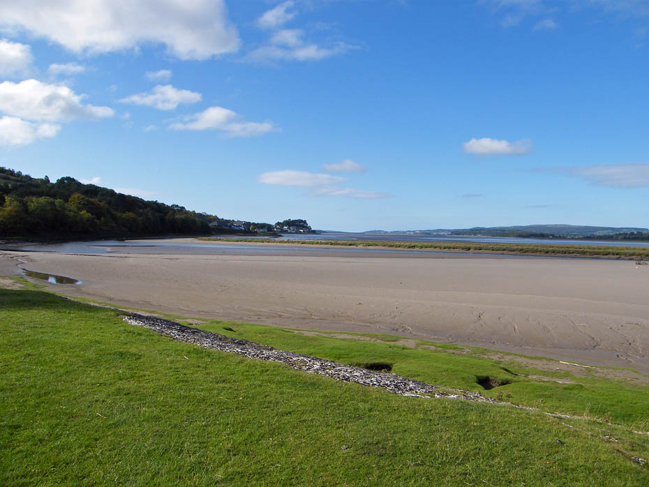
From Sandside we took a path up through the woods towards Havebrack.
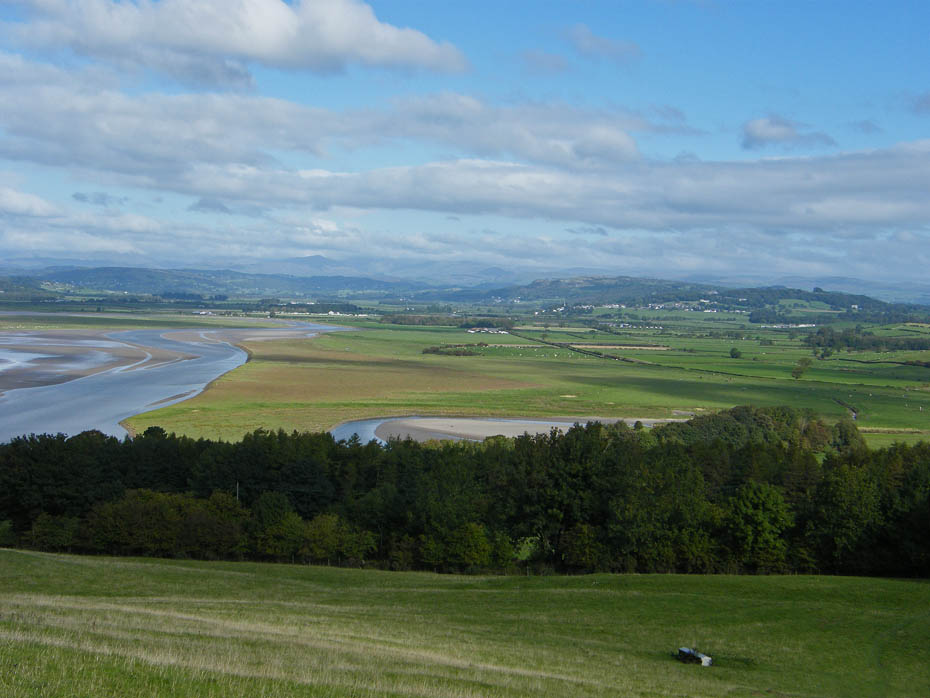
Above the woods the path continues upwards once again opening Lakeland views.
And to the Howgills.
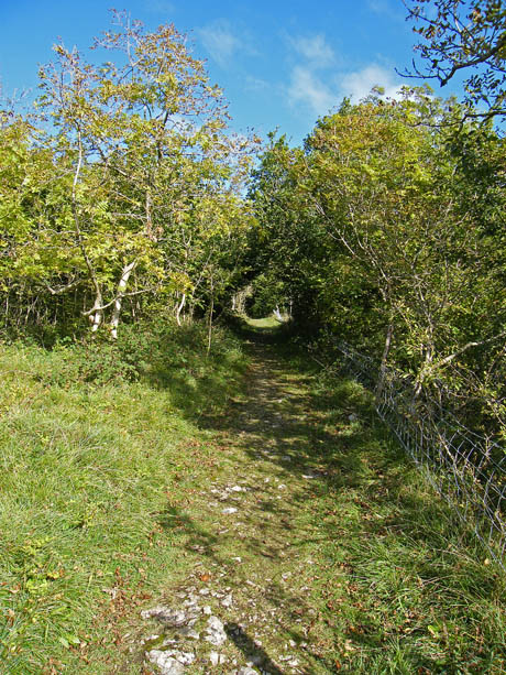
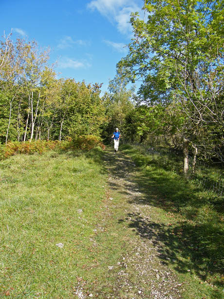
We walked through Haverbrack and then took the track to Wray Cottage.
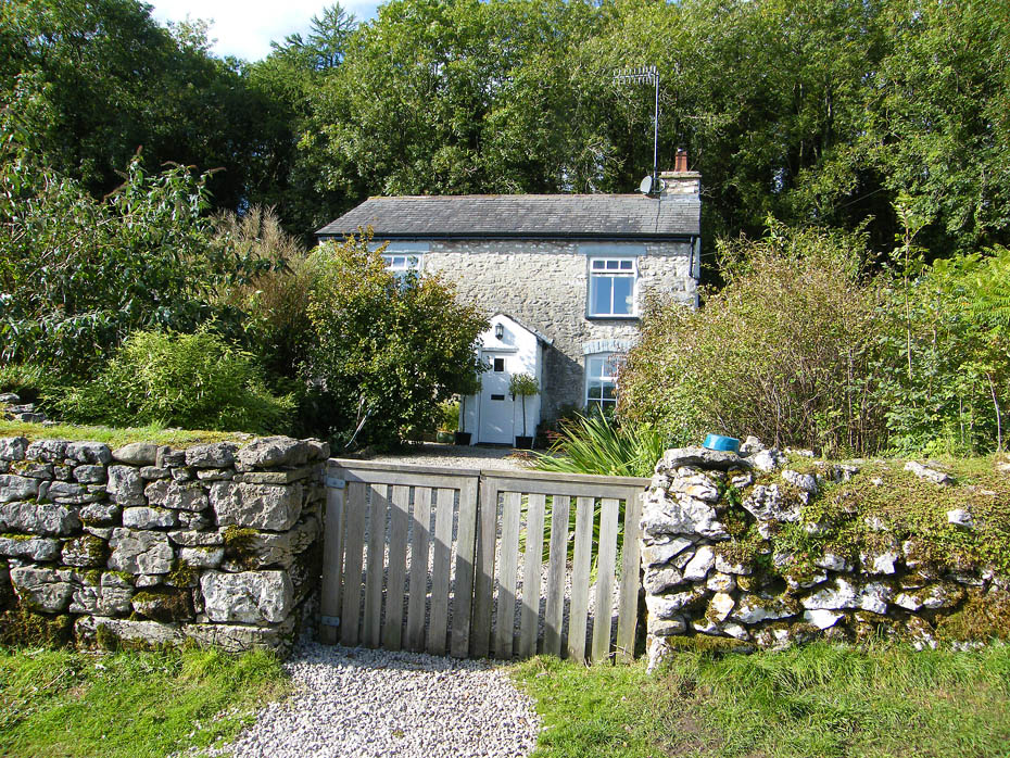
Wray Cottage. From here it was an easy walk down the normally quiet walk.
Today however, as we approached Beetham there was a big snarl up on the single track lane. Not a lot of vehicles involved but with 4WD + trailers, a couple of vans, a car towing a caravan + plus a number of cars there was some frustration. We decided to miss the fumes and four letter words and took a path across to the Corn Mill.
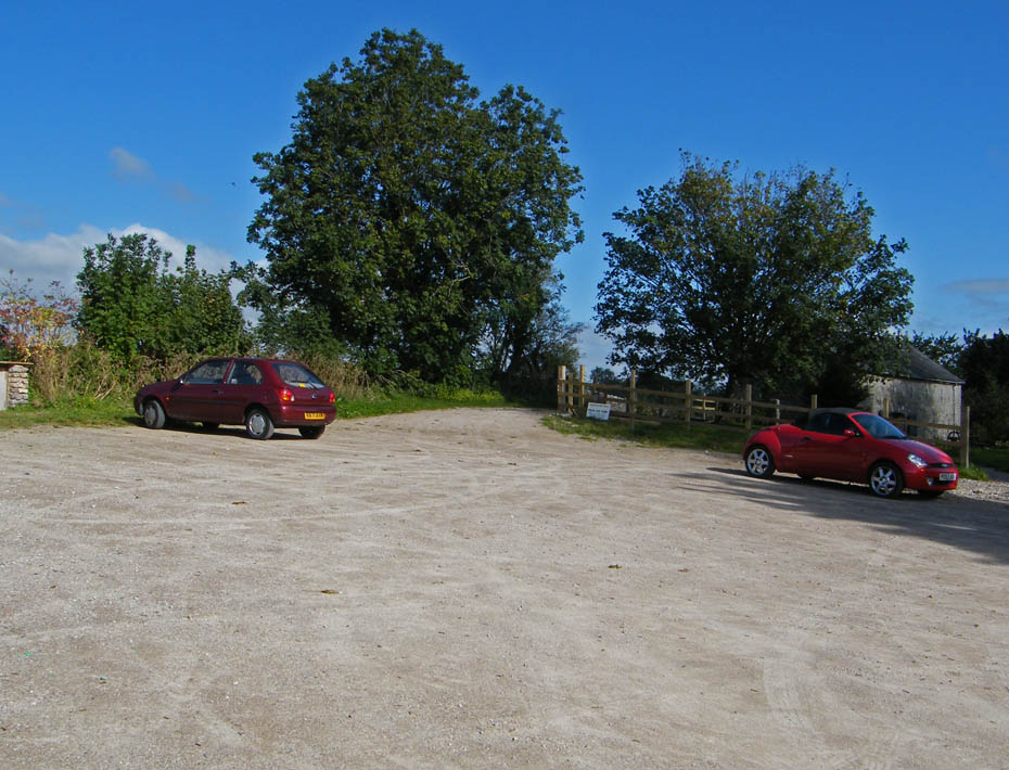
Park here if you wish....£1.00 a day.....
....but for us it was just a short walk back to the car.
Next Walk: 30th September 2010 - Yorkshire Dales - Another nearly walk, threatening Pen y ghent
Last Walk: 25th September 2010 - Lake District - Gummer's How & Fell Foot Park.
Do you have a Facebook or Twitter account. We post regular updates on both. Just click on either of the links below.
![]()

We hope you have enjoyed viewing this walk. If you have any comments please sign our Guestbook or E_Mail us.
