| Area: | Yorkshire Dales | Ascent: | 750feet |
| Walk No: | 458 | Time: | 4hours |
| Date: | 2nd October 2010 | Parking: | Ribblehead |
| Distance: | 8.75miles | Weather: | Fine with sunny spells |
| Route: |
For those of you that are thinking of going onto the hills I would strongly recommend that you read the advice given by the Mountain Rescue organisation of England and Wales. To read this advice, which will open in a new page please click HERE. If you would like to make a donation to the Mountain Rescue organisation which is purely voluntary please click HERE. Please make the time to read the advice page.
I wanted a nice easy day today so with the weatherman saying that the weather would be better the further east you went we decided to go to Ribblehead to do this walk below Whernside. For anybody visiting the area and wanting a nice walk when the cloud is down and no views from the summit I can recommend this walk as a good substitute.
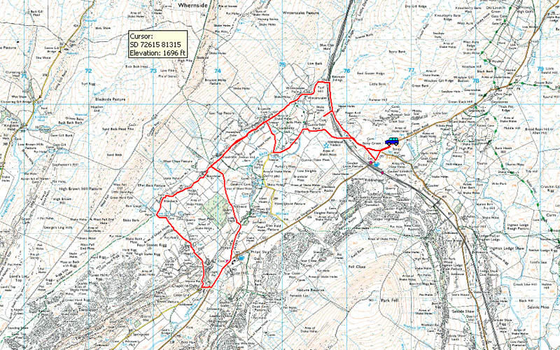
Route Map.
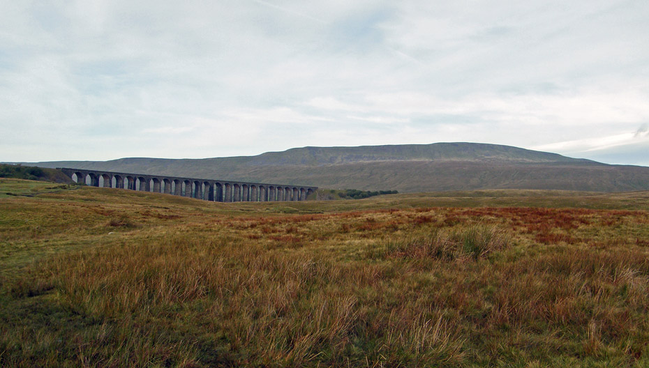
Whernside and the Ribblehead viaduct from where we left the car.
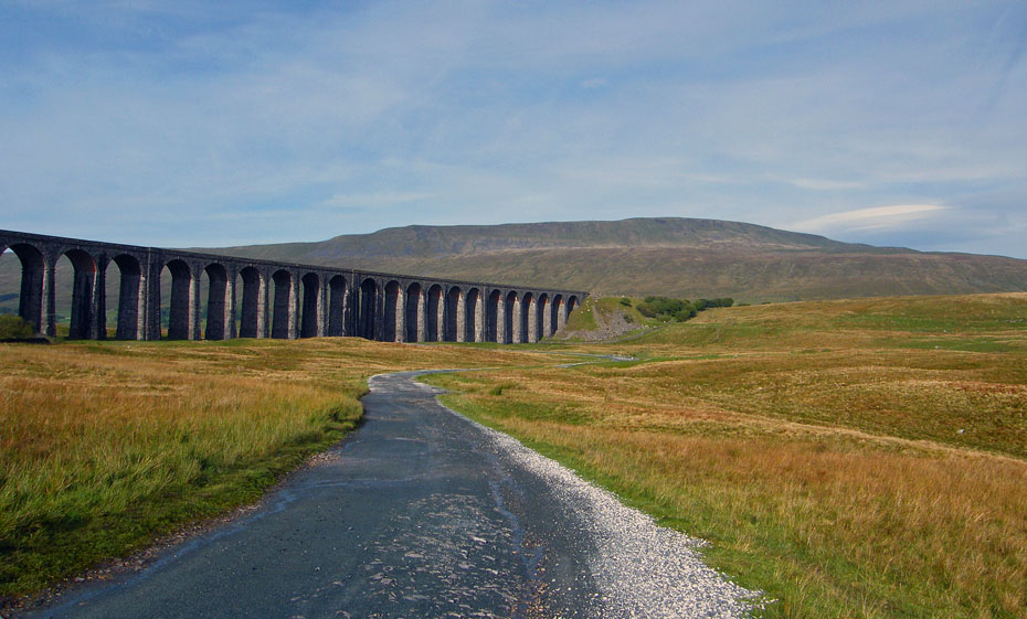
Ignoring the short cut across the moorland to Ribblehead we walked up the road to take the main track.
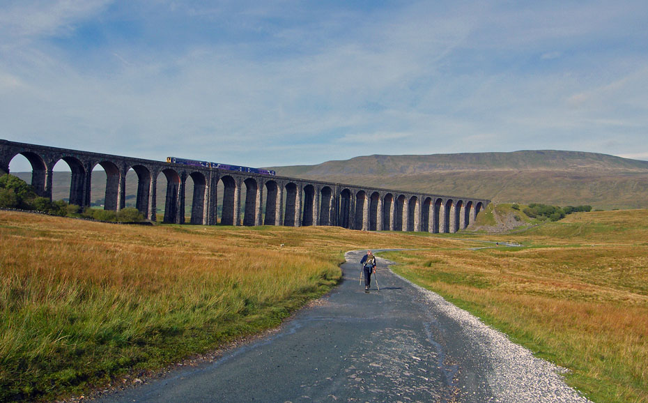
As we walked towards the viaduct the day started to brighten and a passenger train crossed on the once threatened line.
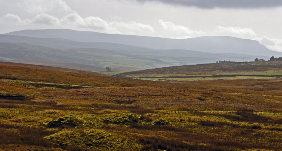
Not a nice picture but it was into the sun as we looked back towards Pen y ghent.
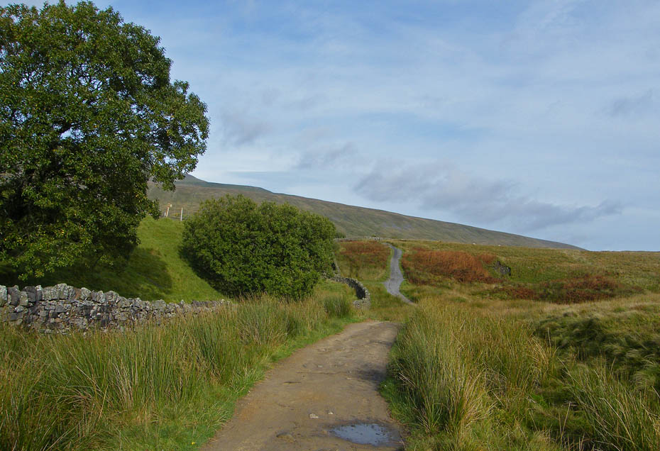
From the viaduct we took the well trodden path of the Yorkshire Dales 3 Peaks (YD3P) towards Whernside. However in the dip ahead we would leave this path for a few moments.....
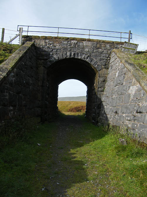
.....to pass under the railway line...
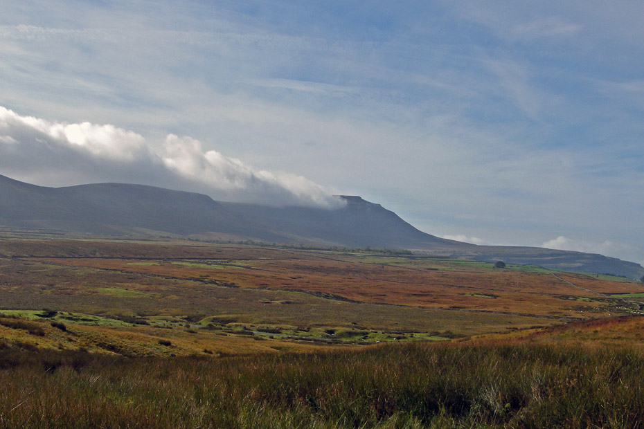
...as I wanted to get this shot of Ingleborough before the sun interrupted too much.
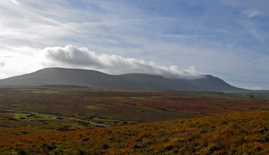
The sun was already interfering with with views over Park Fell the northernmost end of the Ingleborough ridge.
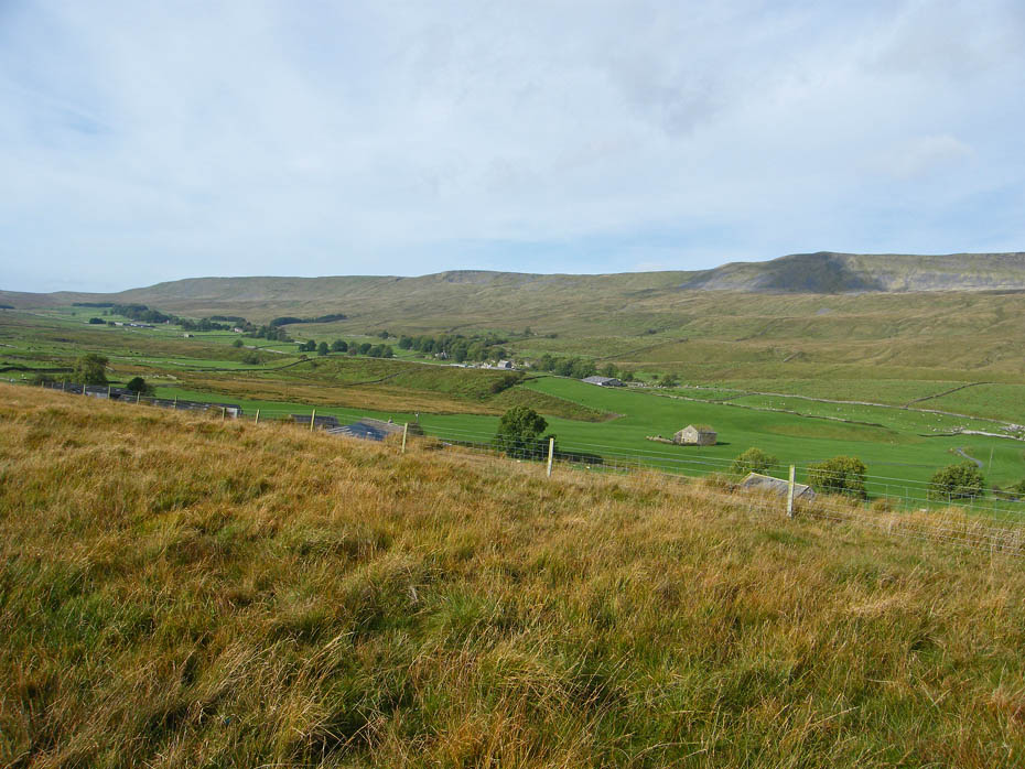
Whilst there it was also an opportunity of seeing the outward leg of our walk which below Whernside which starts out of picture to the right and follows the string of farms along the valley roughly in a line with the trees.
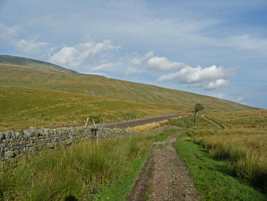
Back on the Whernside path now we carried on towards Bleamoor sidings.
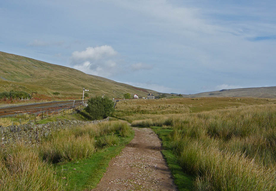
We are now at Bleamoor sidings and just past that tree we will go under the lines again to Winterscales.
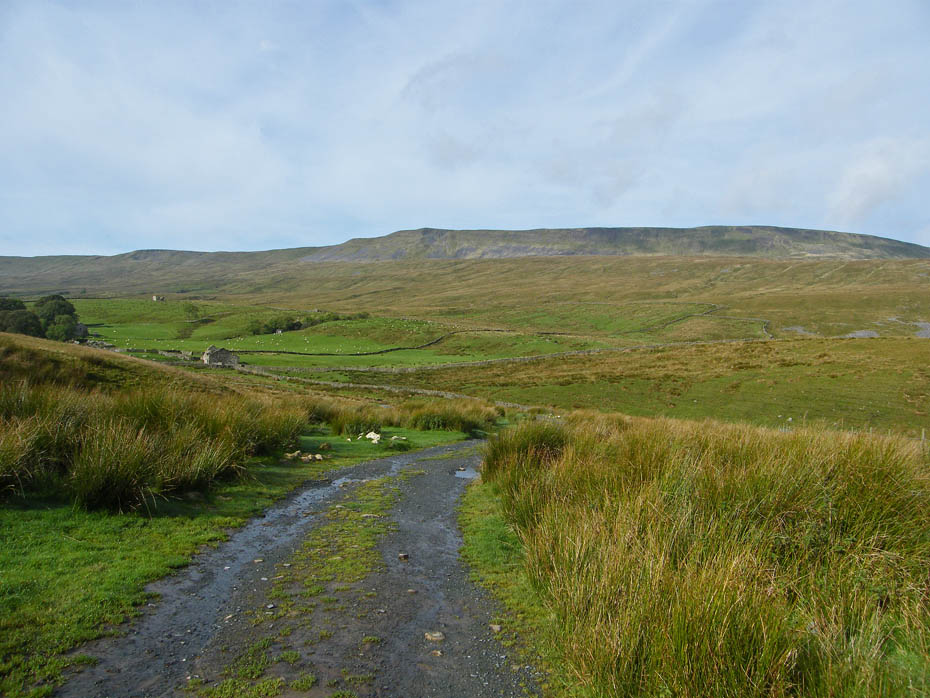
The path descend easily, though a bit wet in places after recent rain.
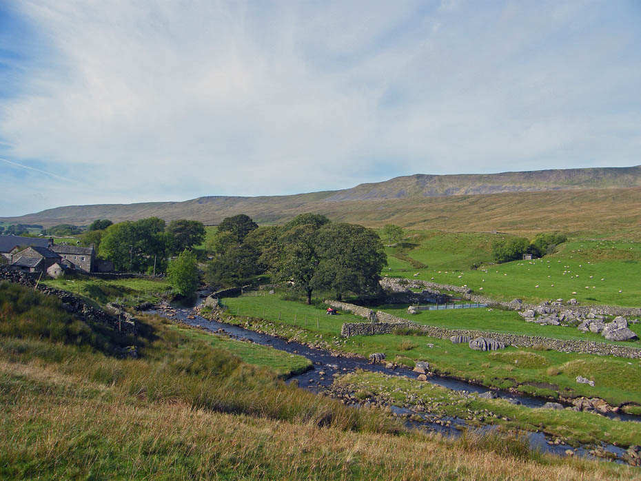
Below us is Force Gill. Walkers on the YD3P path to Whernside may have visited the waterfall on their way up Whernside.
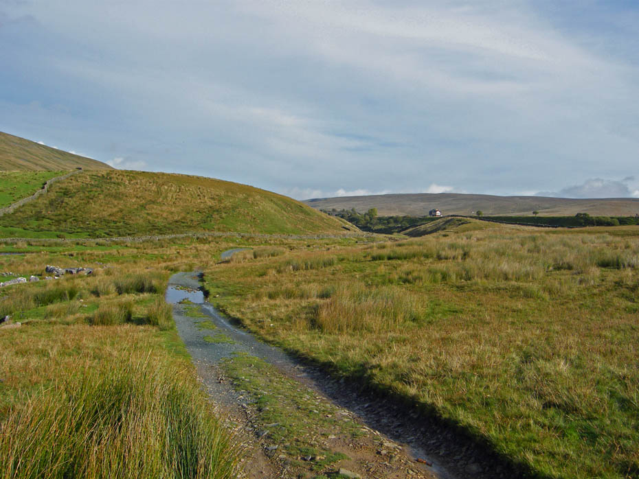
A look back to the sidings and to Blea Moor.
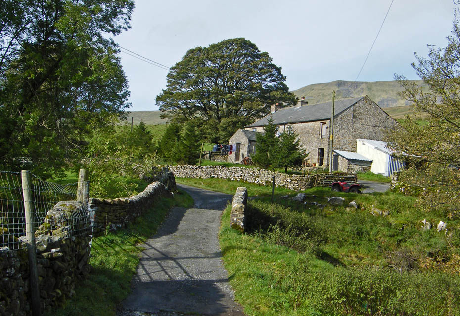
The path takes us over the bridge and past the farm.
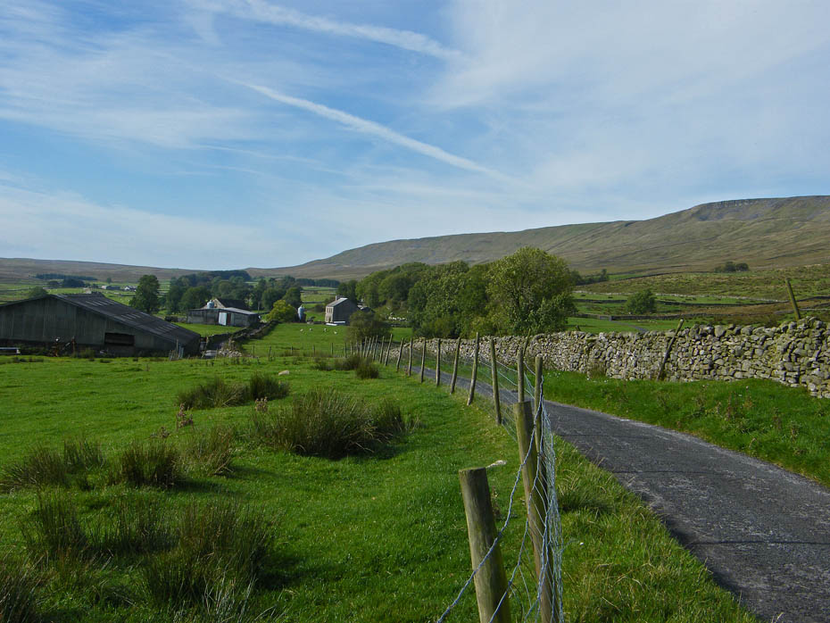
It is delightfully easy walking along the farm lane towards Ivescar.
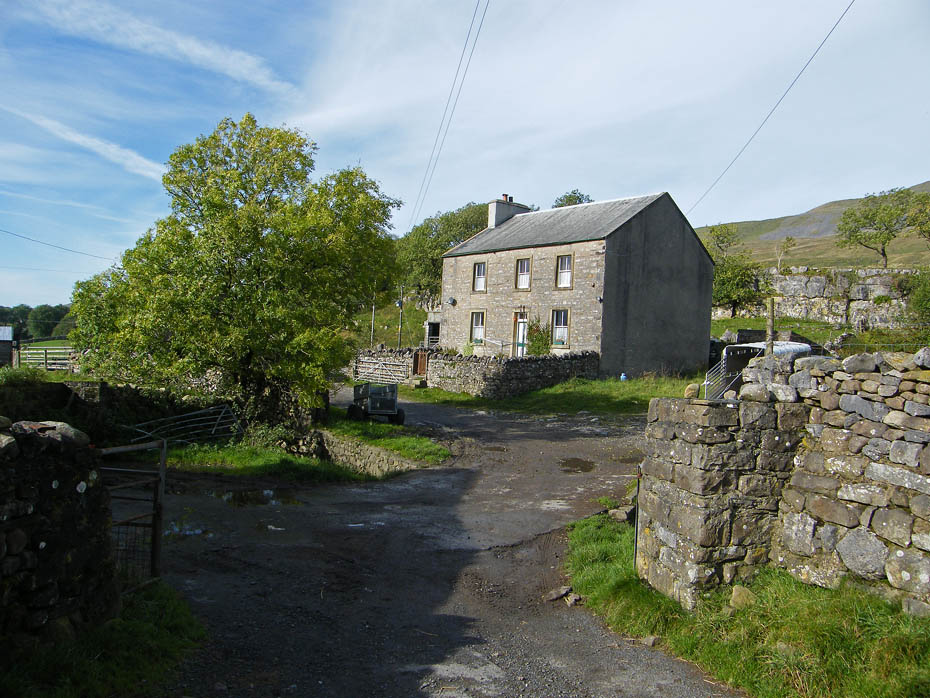
Ivescar. Ignore a path and track going off to the left but pass straight through onto the path across the fields.
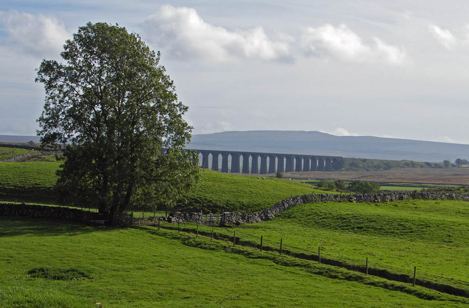
A look back to Ribblehead as we walk through the fields towards Broadrake.
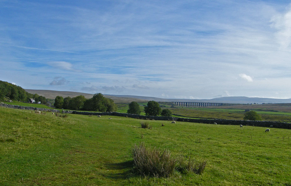
And again as we near Broadrake.
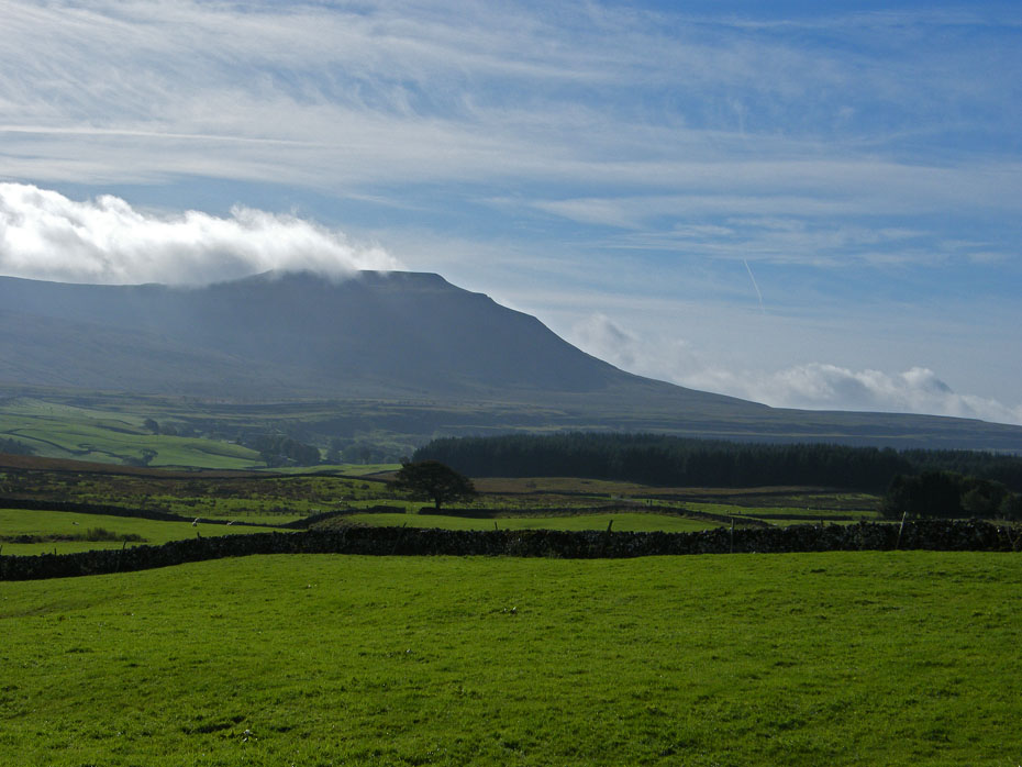
Ingleborough's summit is still being brushed by cloud.
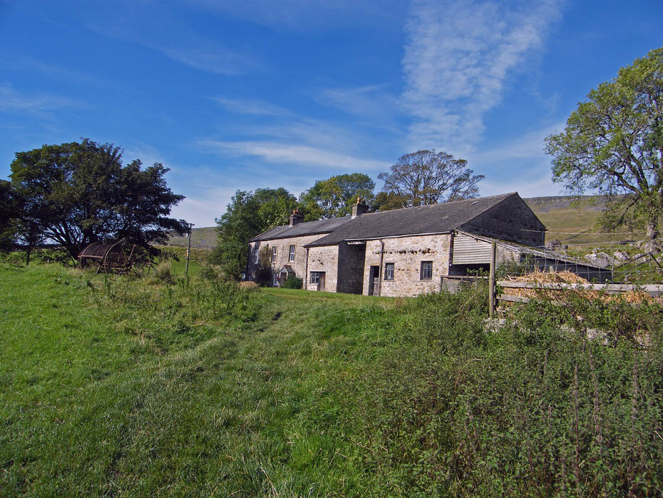
Passing by Broadrake.
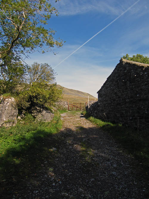
A short distance past Broadrake the path emerges onto a lane. To the right is the the descent path from Whernside on the YD3P walk. I have done the walk a number of times and always thought at this point that the worst was over. I know that there's the small matter of Ingleborough to do and a longish walk back to Horton but to me Whernside was always the worst of the 3 peaks and it was good to have it behind you. Anyway, back to this walk just follow the track straight ahead, ignoring those of stouter stuff taking the left turn towards the Hill Inn......we'll see them later anyway.
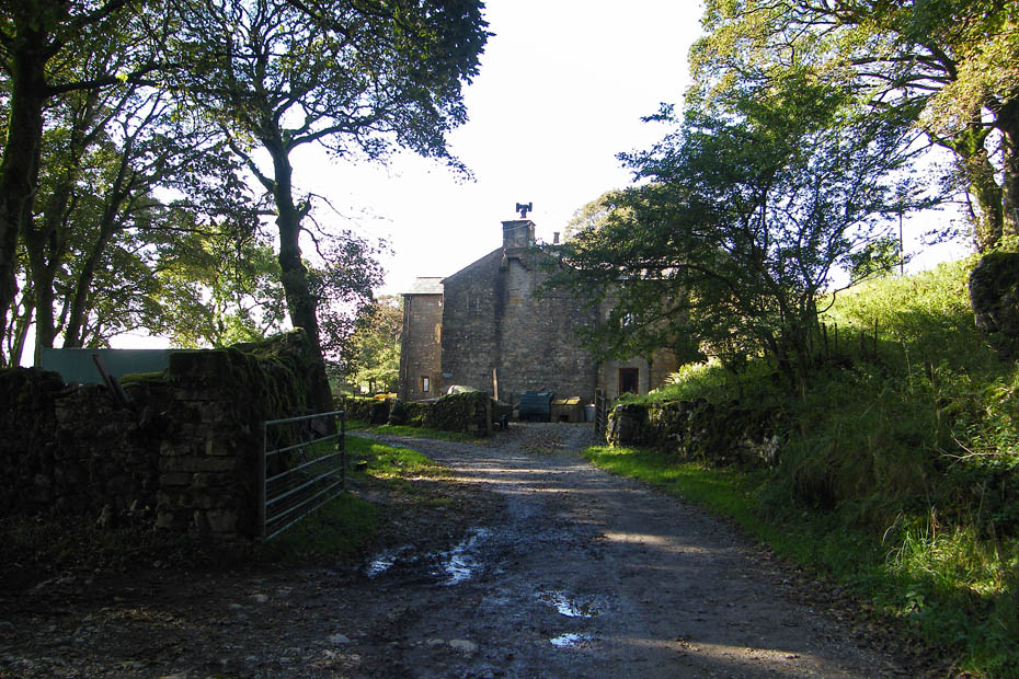
If you've got it right you will shortly pass by the farmhouse at Bruntscar.
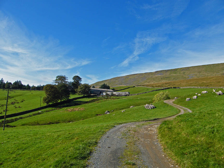
More easy walking leads us towards Ellerbeck...
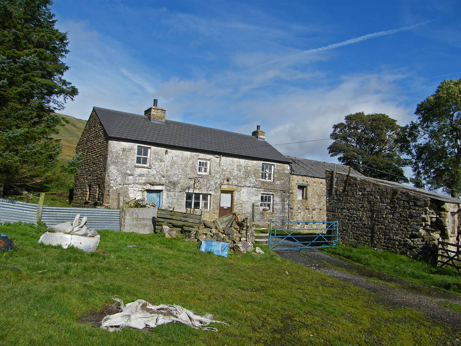
....with it's rather sad looking farmhouse.
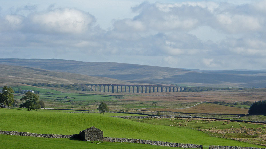
Ribblehead, with a good train crossing makes a good foreground for Cam Fell which carries the Pennine Way over to Hawes.
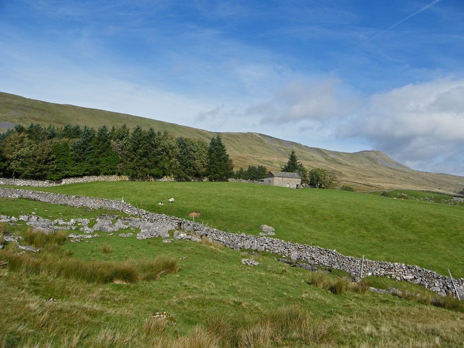
A short distance past Ellerbeck we take a track down to Chapel-le-Dale
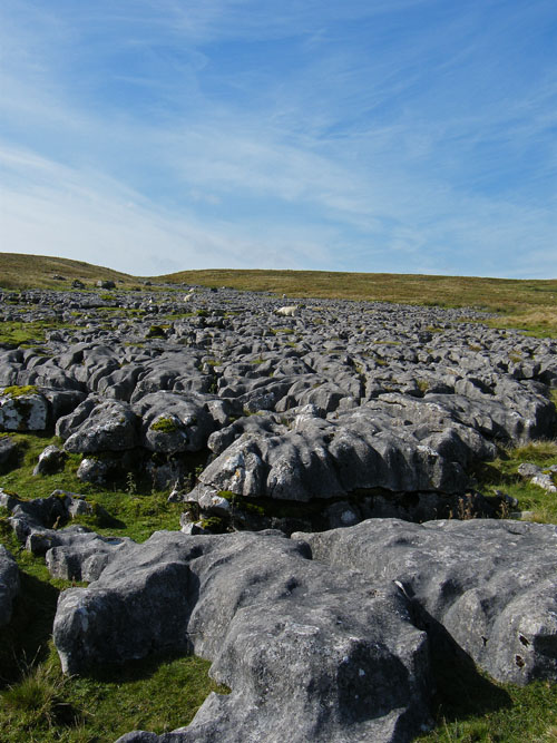
A section of limestone pavement makes a pleasant resting place for a few moments.
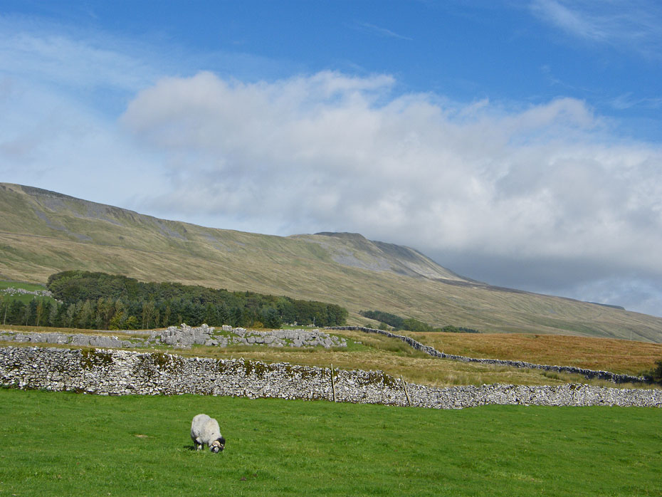
The day however seems to be changing however, there's certainly a bit more cloud around but nothing to bother about.
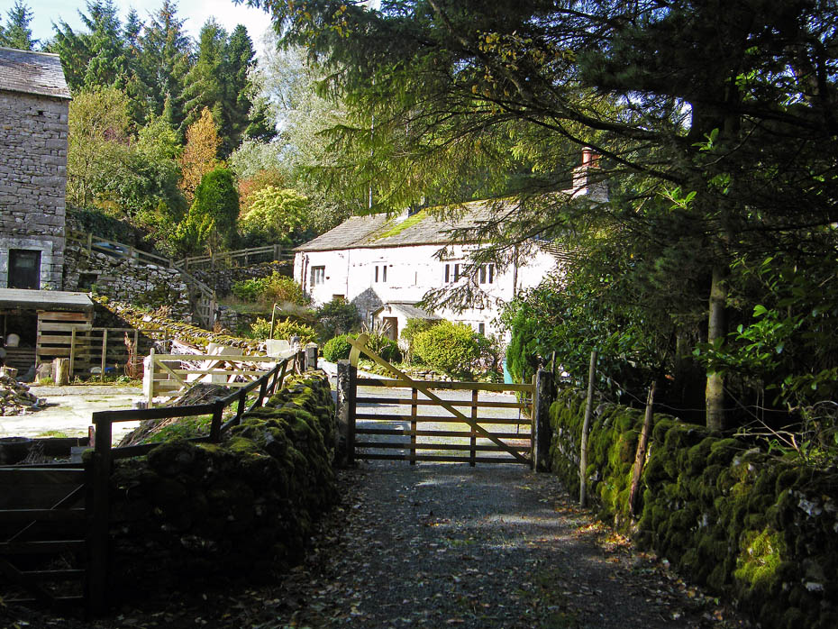
A most pleasant residence at Gill Head as we continue our way down.
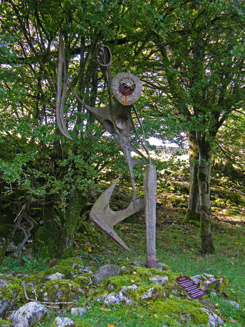
Explanation below...
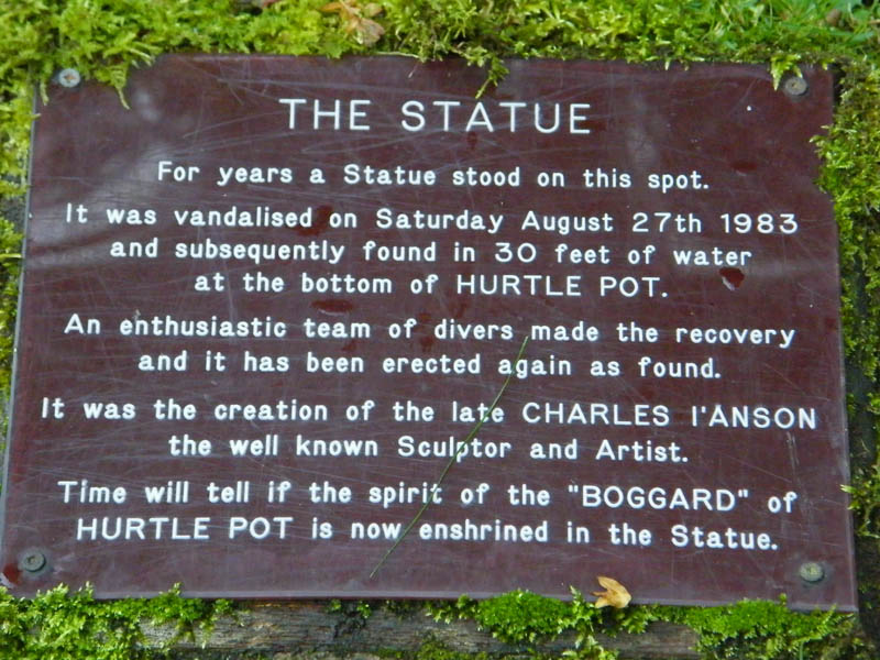
A sign your getting old when you remember it being there in its un-vandalised state.
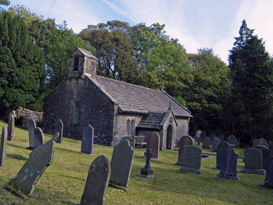
St. Leonardís church sits in a small woodland area in the hamlet of Chapel-le-Dale, just off the B6255. It is a grade II listed building, built in the late 17th century with some 18th century additions. According to English Heritage, it was vastly restored in 1869.
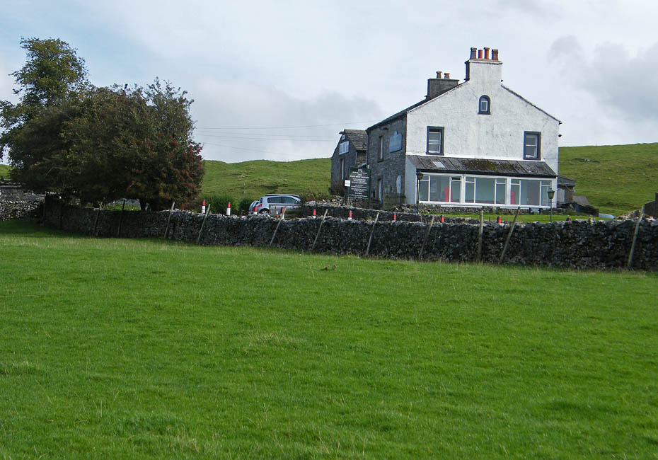
From Chapel-le-Dale we walked up the B6255 to take the track of the YD3P at Philpin Lane towards Bruntscar with the Hill Inn tantalisingly close by.
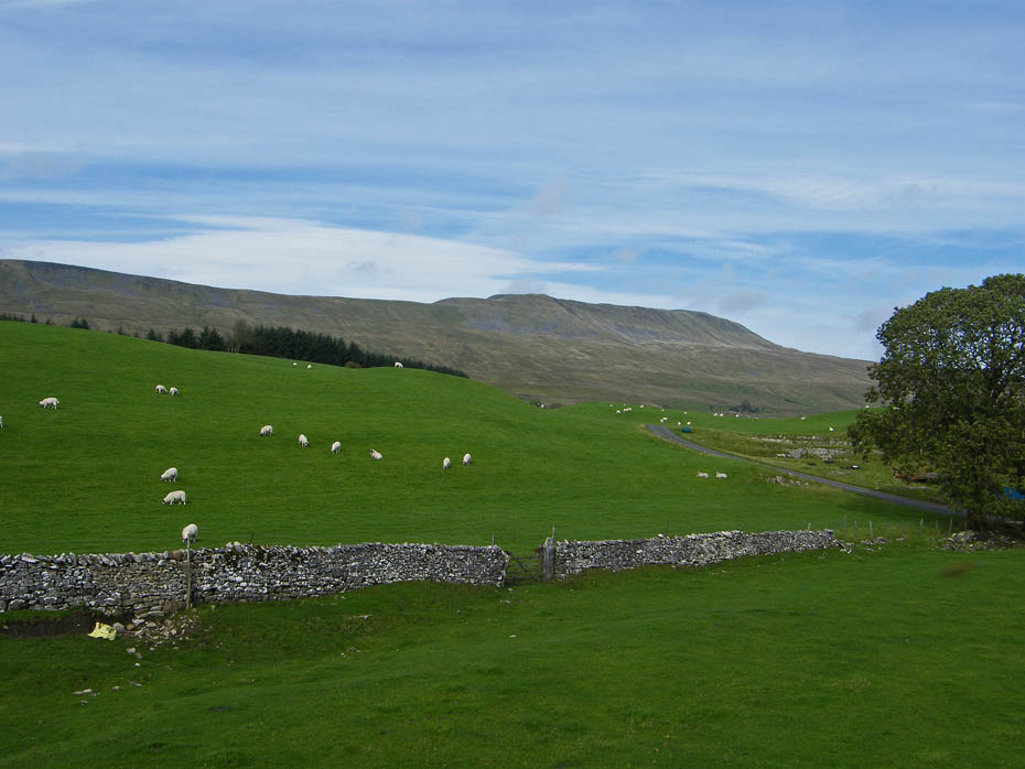
Around this point I had intended to take a path off near the tree on the right which joins the farm lane to Gunnerfleet, but still feeling OK I decided to walk up to Bruntscar to retrace our track to Ivescar and to drop down to Gunnerfleet from there.
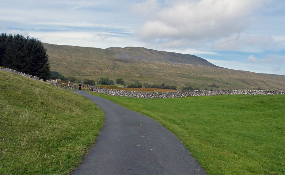
As we walked up to Bruntscar we met a number of YD3P's on their way down. Judging by the legs and boots of some they had had some fun on the crossing from Pen y ghent to Ribblehead, probably at Todber and Black Dubb Moss.
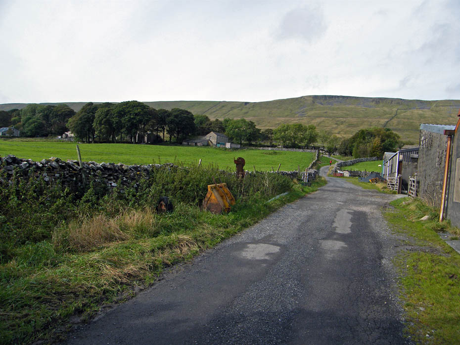
Approaching Bruntscar, again!
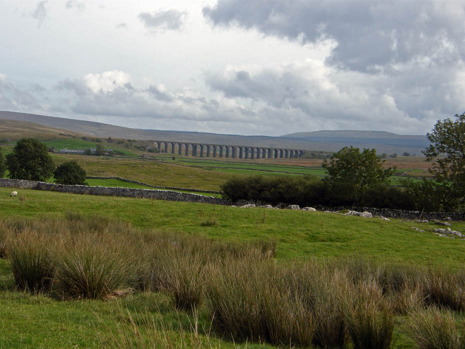
As we make our way back towards Ivescar the clouds are filling in more.
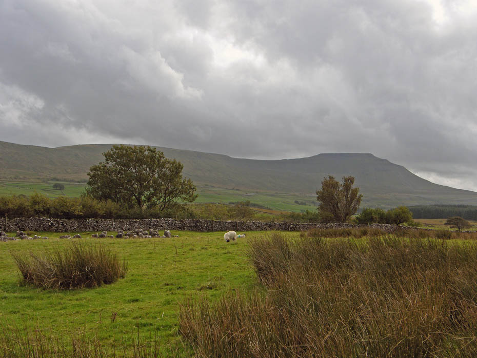
Over Ingleborough, fluffy white is replaced by darker grey.
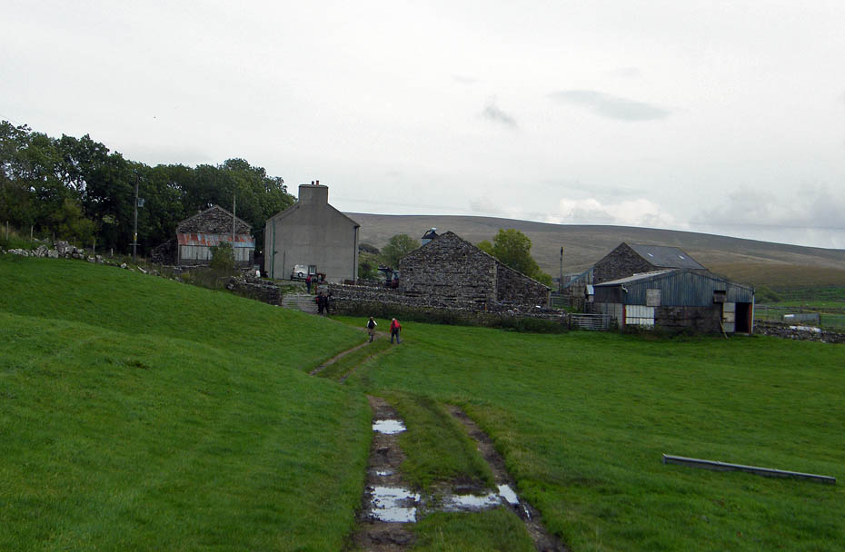
Approaching Ivescar from where we will take the farm lane down to join the track to Gunnerfleet Farm.
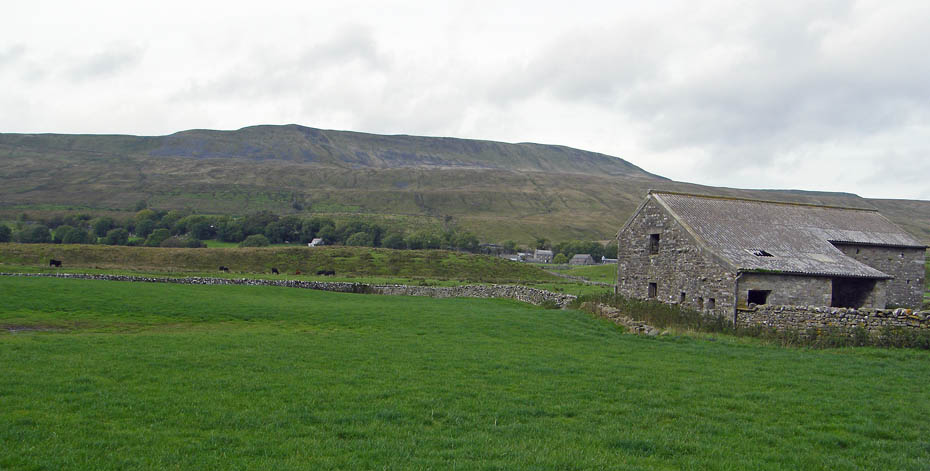
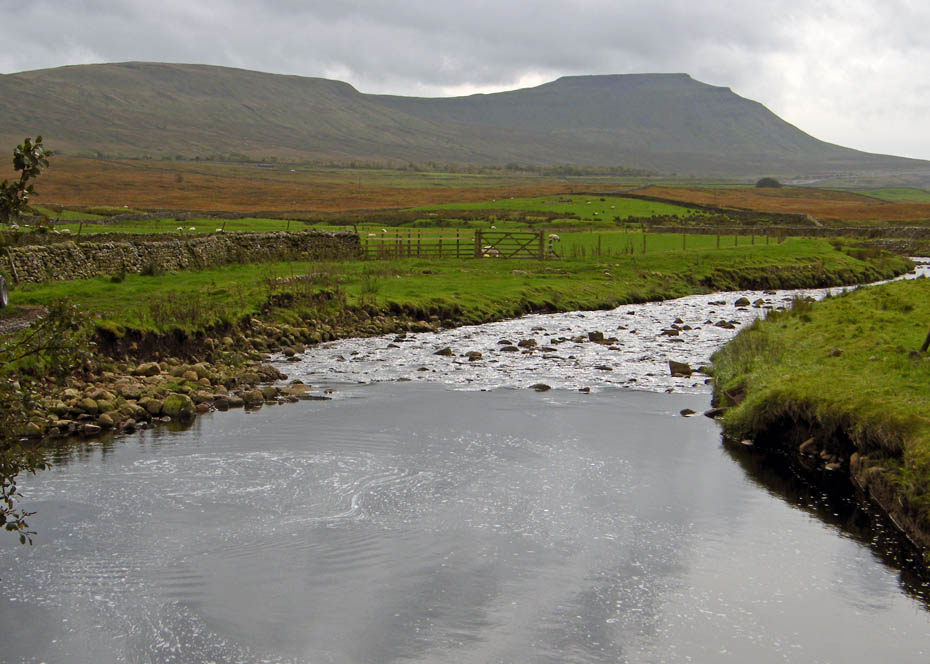
Looking to Ingleborough from the bridge over Winterscales Beck near Gunnerfleet farm.
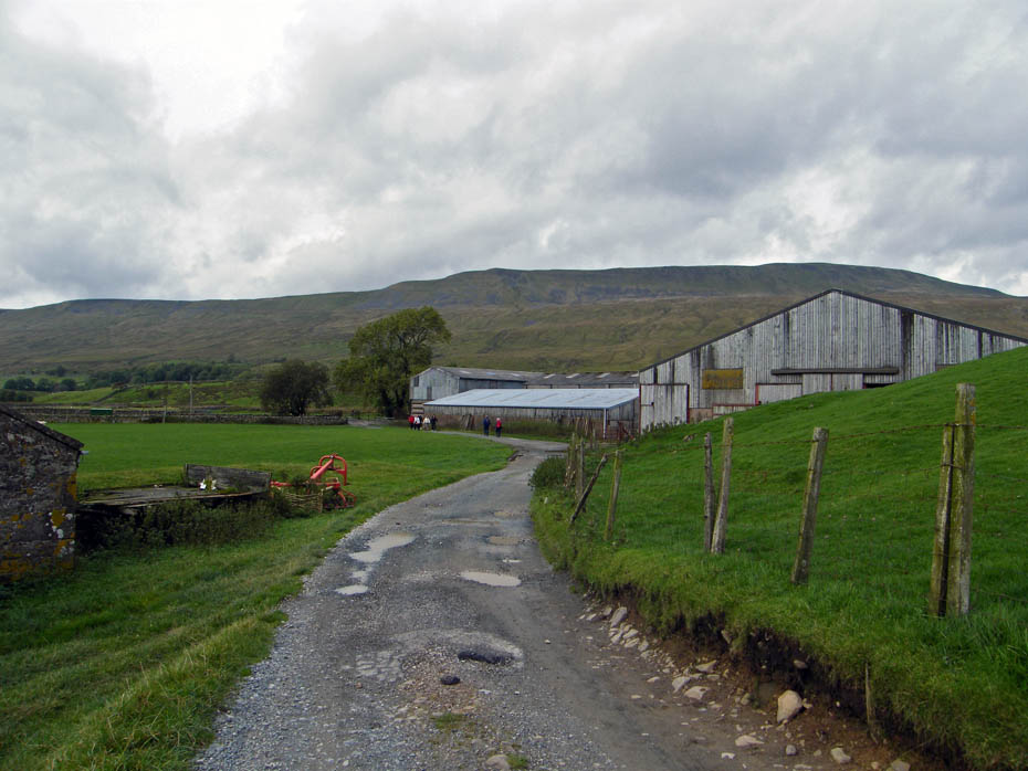
Gunnerfleet farm and the blue skies have been replaced by grey cloud.
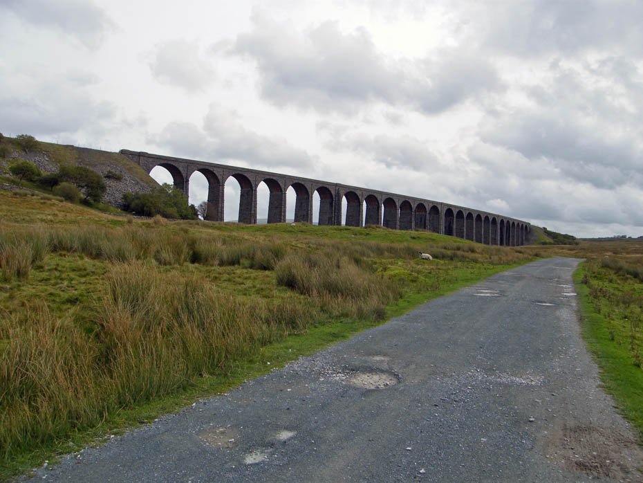
There's not far to go now. Just under the viaduct....
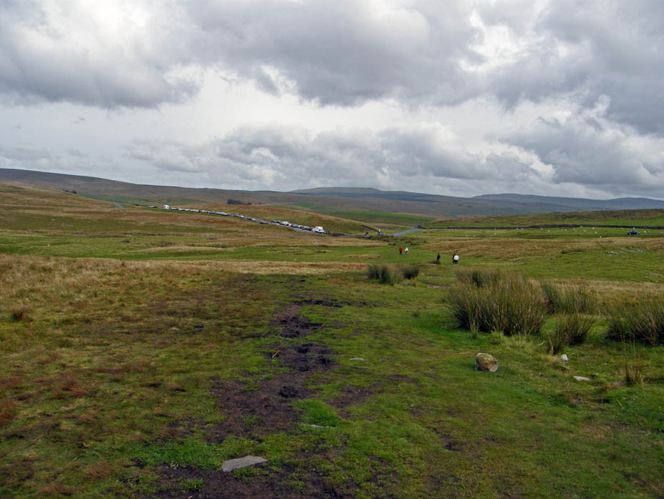
...and we'll take the short-cut now because I'm hungry....
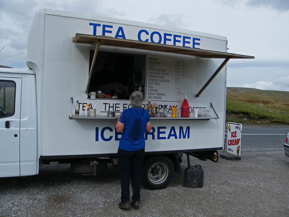
....but this will help. A Bacon & Egg bun and a cuppa char..
Next Walk: 4th October 2010 - South Cumbria/North Lancs - A Whiitington Wander
Last Walk: 30th September 2010 - Yorkshire Dales - A nearly walk - threatening Pen y ghent from Helwith Bridge
Do you have a Facebook or Twitter account. We post regular updates on both. Just click on either of the links below.
We hope you have enjoyed viewing this walk. If you have any comments please sign our Guestbook or E_Mail us.