| Area: | N Lancs/S Cumbria | Ascent: | 610feet |
| Walk No: | 459 | Time: | 3hours 45minutes |
| Date: | 4th October 2010 | Parking: | Devil's Bridge, Kirkby Lonsdale |
| Distance: | 6.25miles | Weather: | Fine & Mainly sunny |
| Route: |
For those of you that are thinking of going onto the hills I would strongly recommend that you read the advice given by the Mountain Rescue organisation of England and Wales. To read this advice, which will open in a new page please click HERE. If you would like to make a donation to the Mountain Rescue organisation which is purely voluntary please click HERE. Please make the time to read the advice page.
Our walk today started at Kirkby Lonsdale at the Devil's Bridge. We followed the River Lune downstream on its western bank until we reached Burrow Mill Lane which took us into the village of Whittington. We then followed a path which avoided the road to the church, where after a short break, we took a single lane track to Sellet Hall. From there paths across the fields took us down to Sellet Mill. A bridleway which in the lower length was more like a stream took us to High Biggins from where a path returned us back to Devil's Bridge.
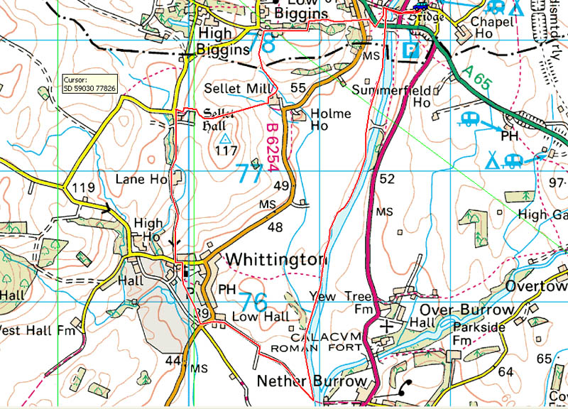
Route Map
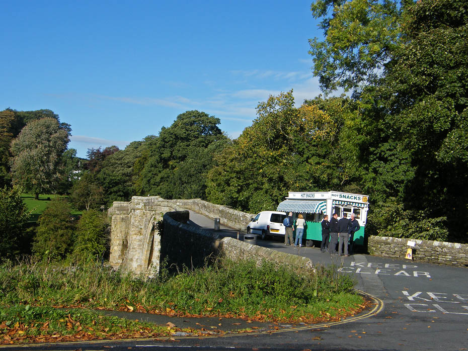
We left the car near Devil's Bridge at Kirkby Lonsdale.
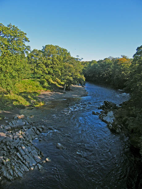
Looking upriver from Devil's Bridge
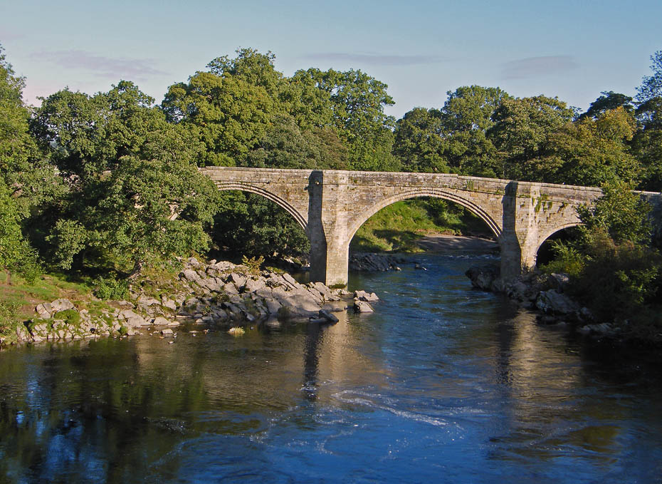
Our path took us downriver where I took this picture of Devil's Bridge from the more modern road bridge over the river.
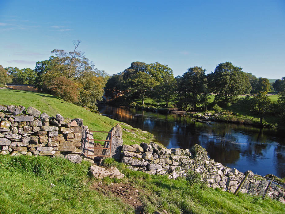
I should perhaps point out here that a lot of the pictures along the river are looking back. This is because we were walking into the sun.
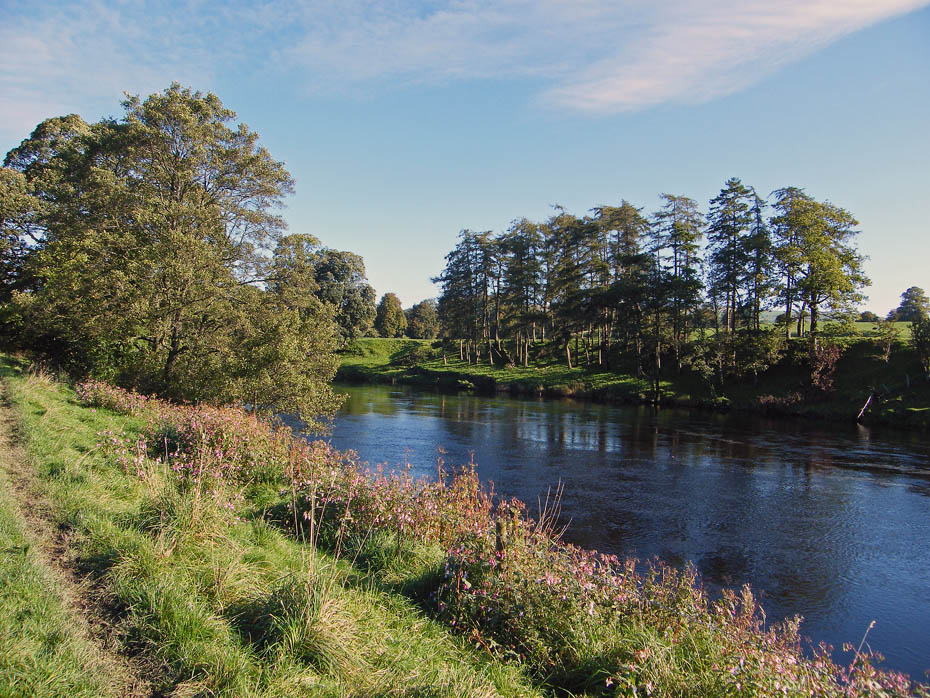
Once again from the road it became more peaceful.
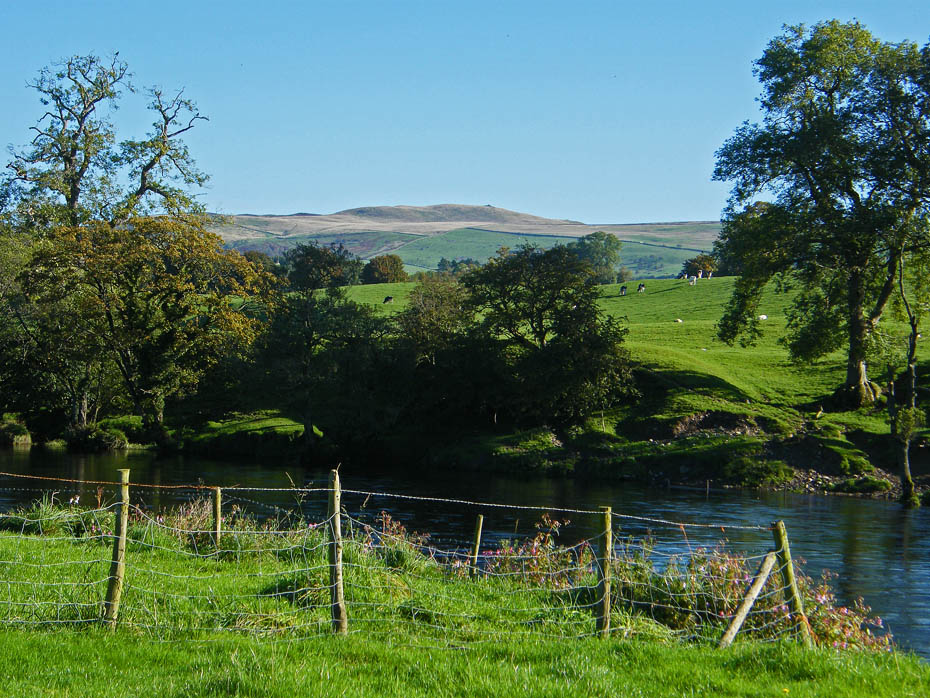
The ground however was very wet and in some places quite slippy.
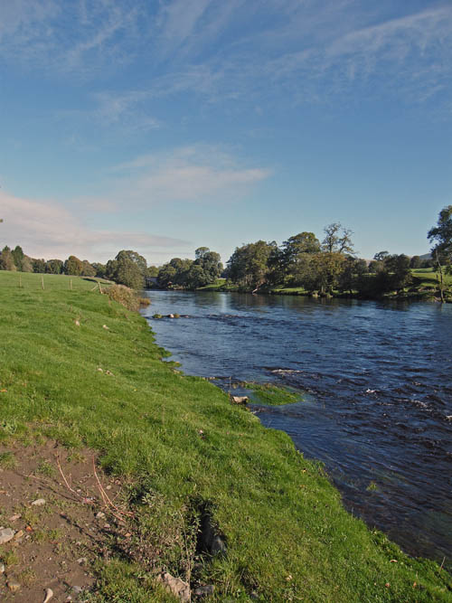
The River Lune was flowing quite quickly after recent rain.
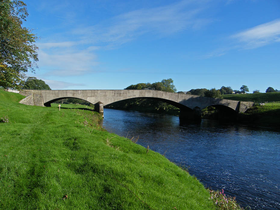
A rather ugly bridge over the river of which I'm not sure of its purpose. I think maybe to carry pipelines of some type.
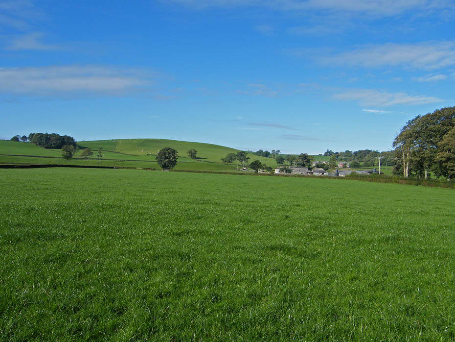
Looking over to Holme House and Sellet Mill with Sellet Bank over which we would walk later to the left.
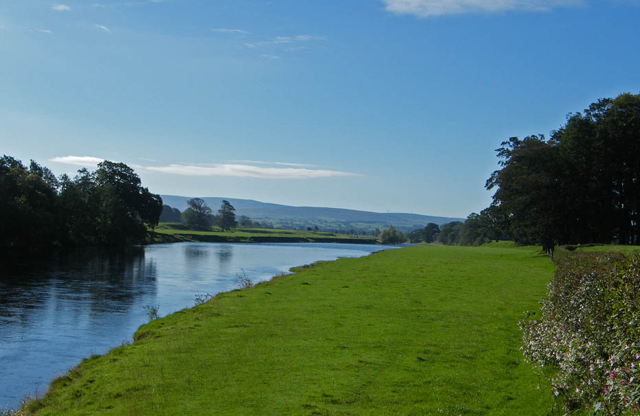
A look downriver here towards Caton Moor and the Bowland hills.
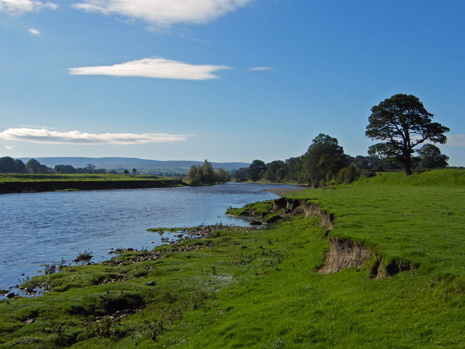
Again downriver and showing the erosion of the riverbank when in flood.
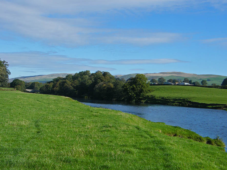
A look back and Middleton Fell (l) and Low Barbon Fell come into view.
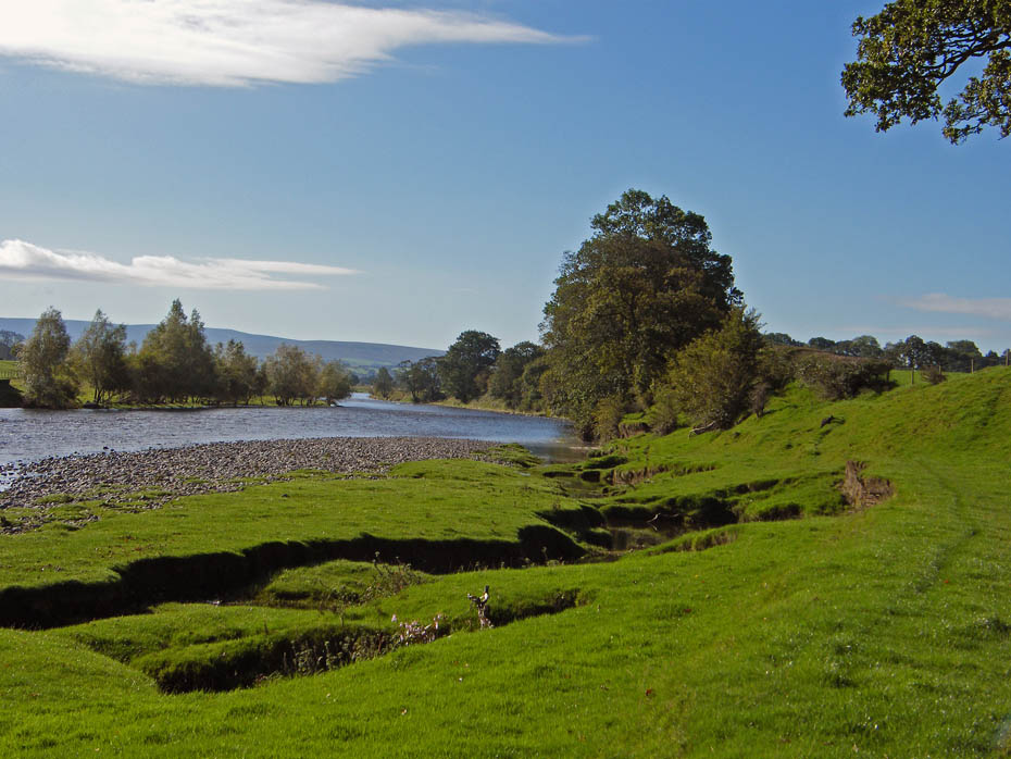
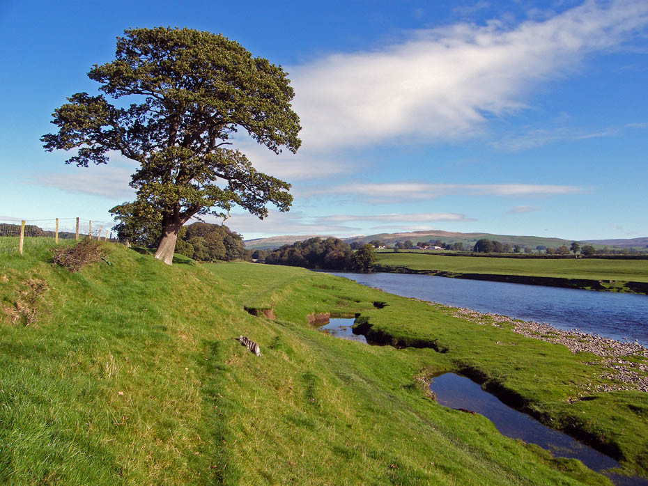
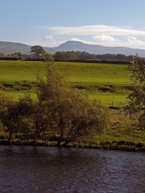
A distant Ingleborough...
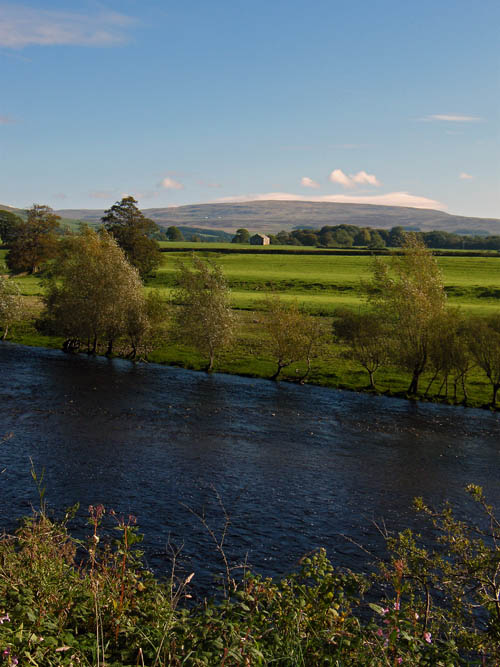
....and Gragareth.
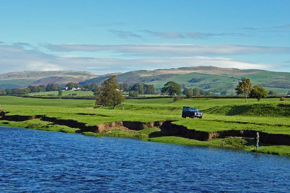
A lone angler tries his luck.
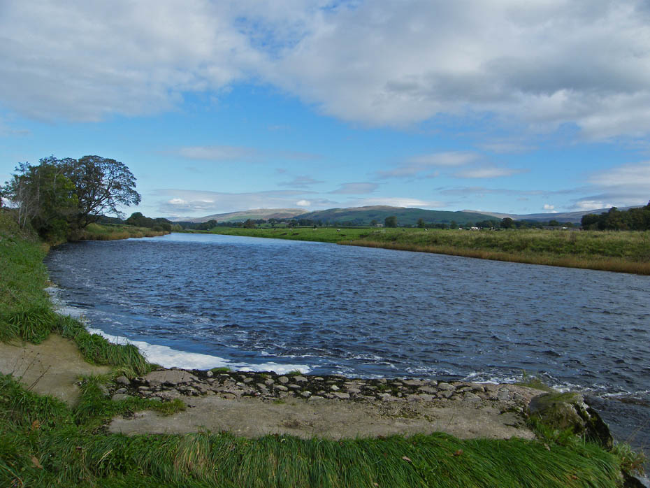
Just past this point we left the river to take a track (Burrow Mill Lane) towards Whittington. On the map there is a ford marked here. It is no longer possible to cross except perhaps in extended periods of drought.
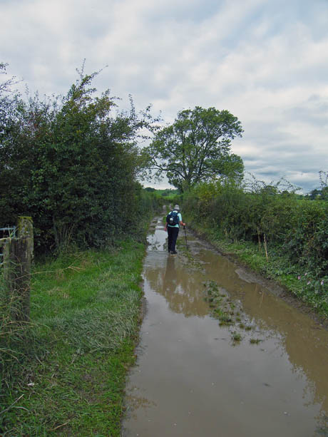
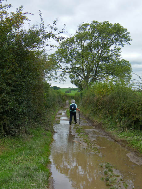
It was a wee bit wet on the first stretch of the lane.
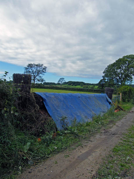
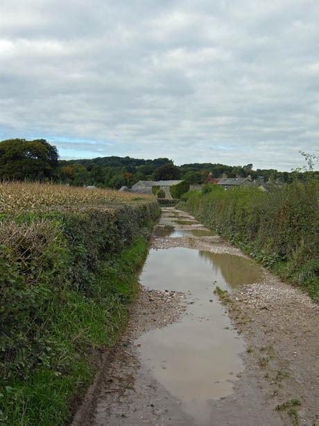
A rather unusual feature on the left as the hedgerow is actually a wicker hurdle. Whittington nearby holds a Point to Point race annually and I believe this is fence 3 and 11 depending on which circuit you are on.
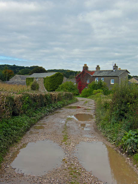
The lane ends at the B6254 where we turn left and in a few yards cross the road to go through a gate....
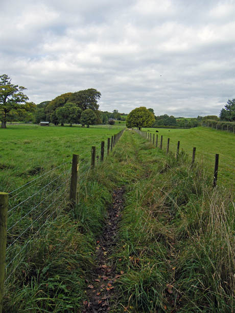
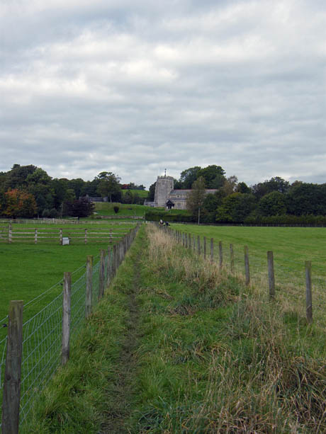
...to follow the narrow path to the church. This avoids following the road through the village, it can be quite busy. As can be seen by the sky the day had become duller but behind us it was clearing again.
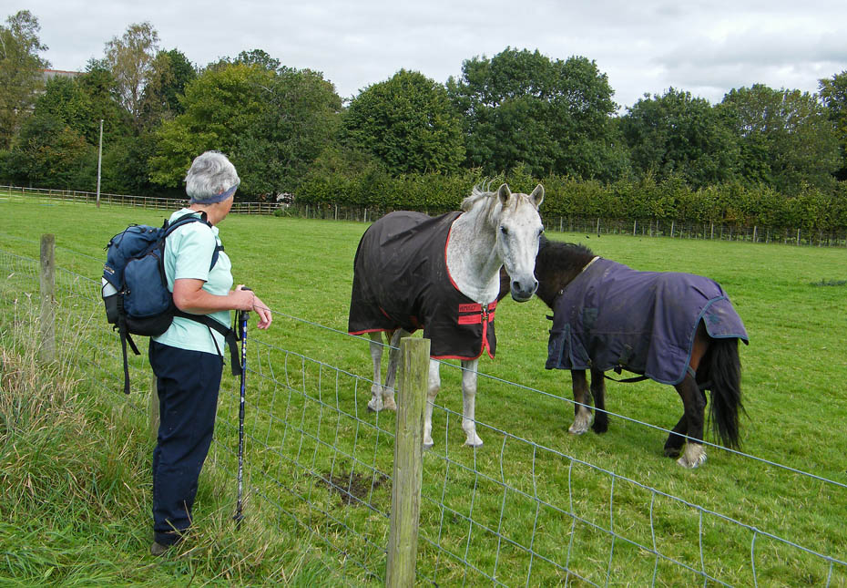
Even Dr Doolittle had no joy with these two.
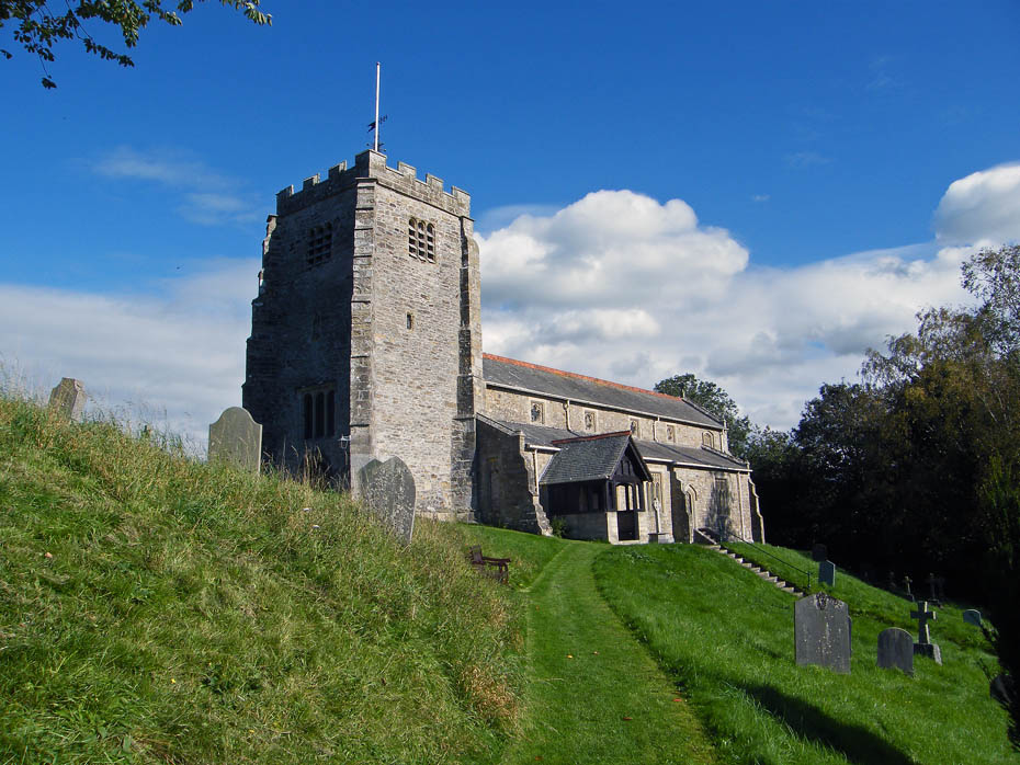
St Michael the Archangel Church at Whittington.
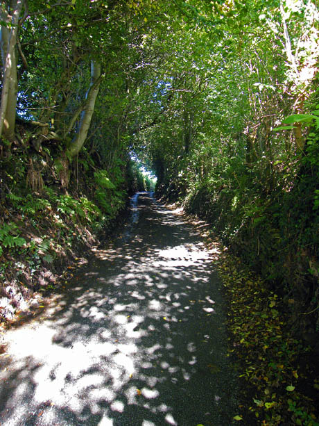
Leaving the church we took a single track lane which climbed steadily upwards....
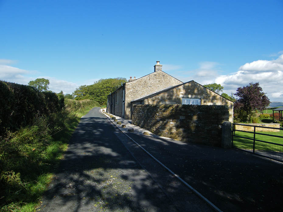
.....passing Lane House.
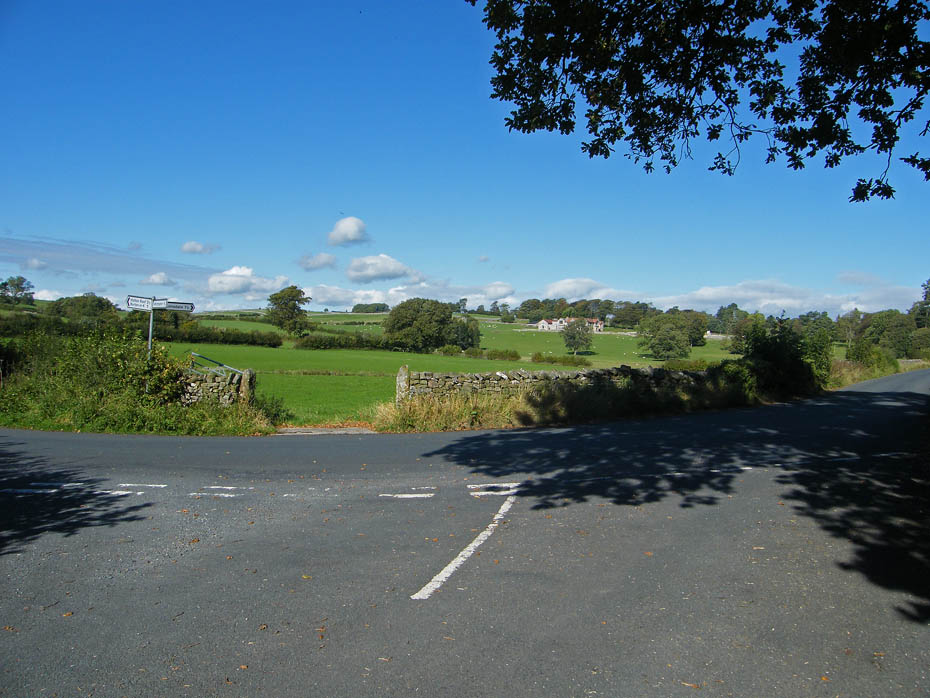
When the lane joins this road near High Biggins take a path on the right which will skirt around the edge of Sellet Hall.
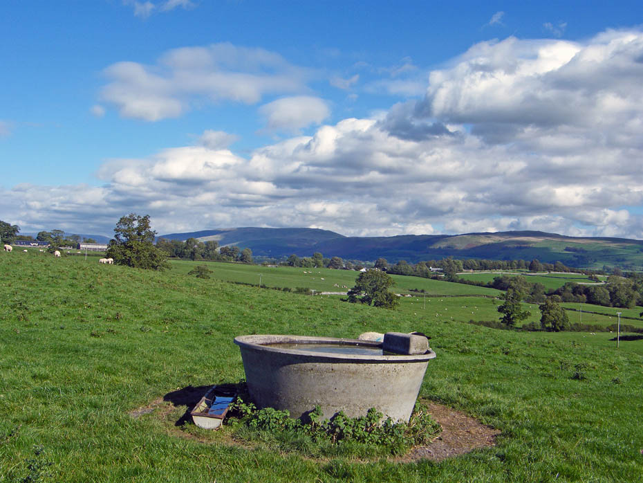
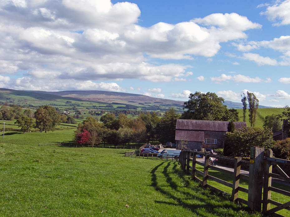
The path follows the fenceline around Sellet Hall.
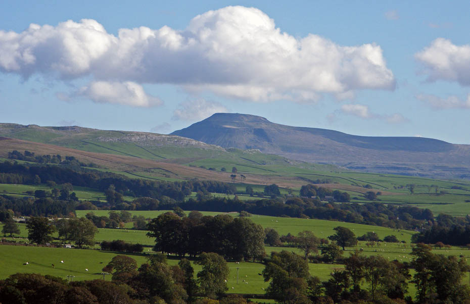
Big zoom on Ingleborough.
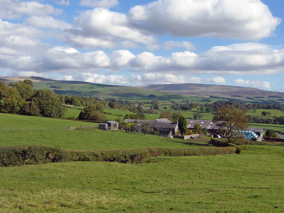
Here we are dropping down to Sellet Mill. Our path will go to the left of the outbuildings and then up a bridleway through the trees to the left.
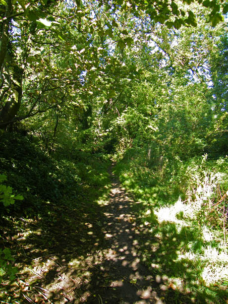
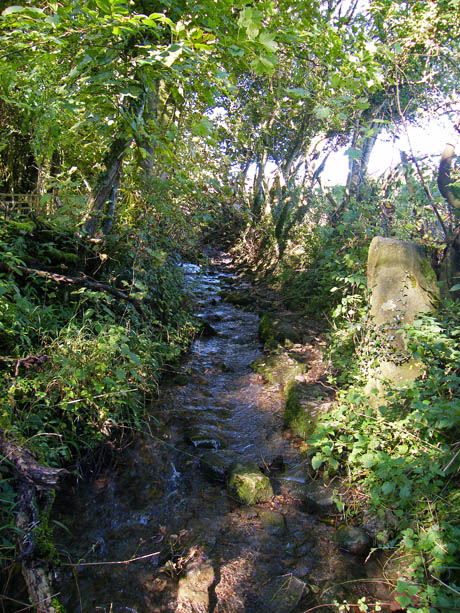
The start of the bridleway was a little hidden away but once on it it was fine for a while until the path changed into a stream...
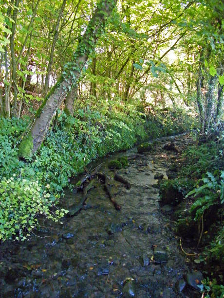
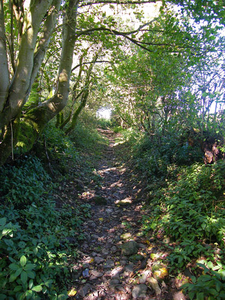
....that we had to paddle along for a hundred or so yards until one again the path became dry.
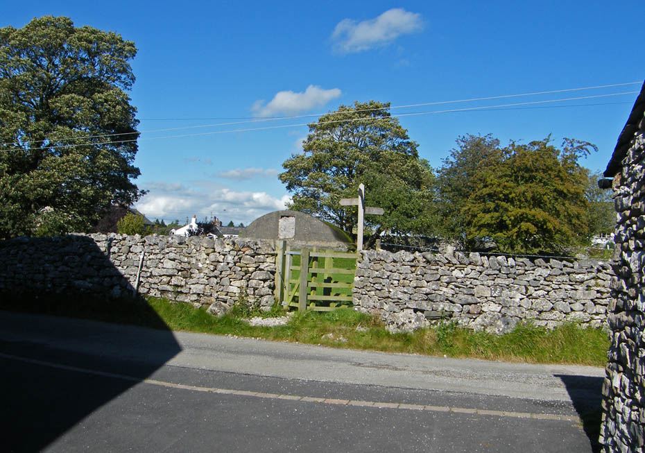
At the top of the bridleway the signpost opposite points to Devil's Bridge but we turned right and walked through Wood End.
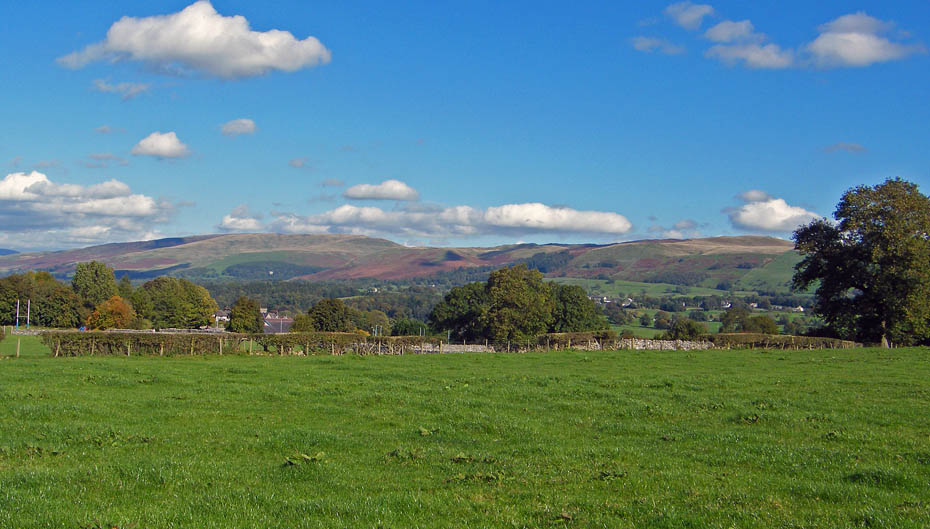
A pleasant return down with views to Middleton Fell
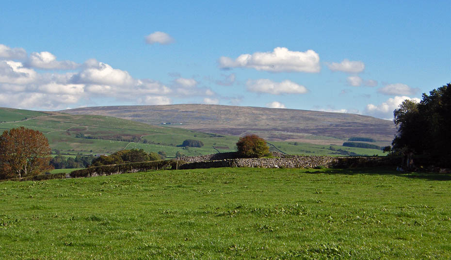
Gragareth
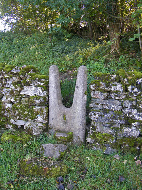
An unusual wall stile. (not used)
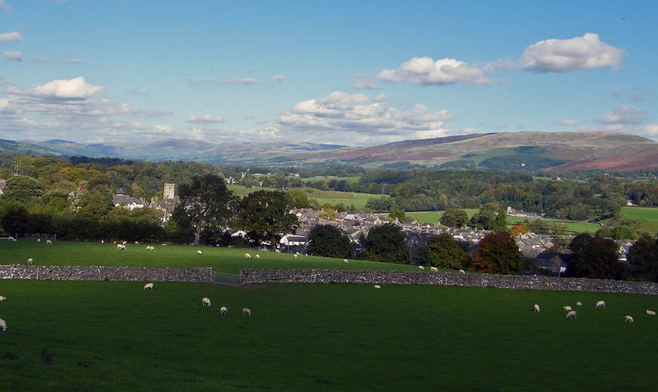
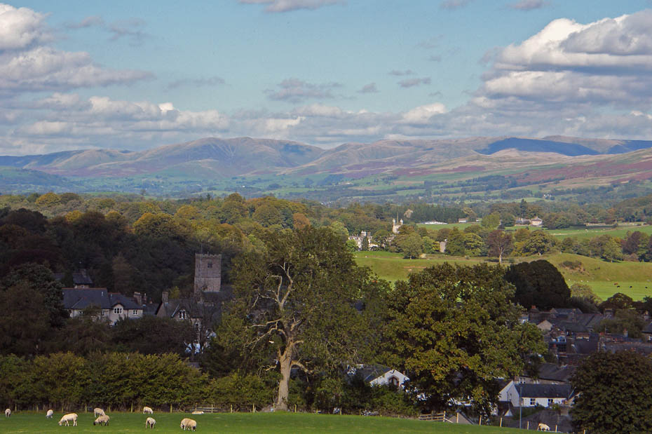
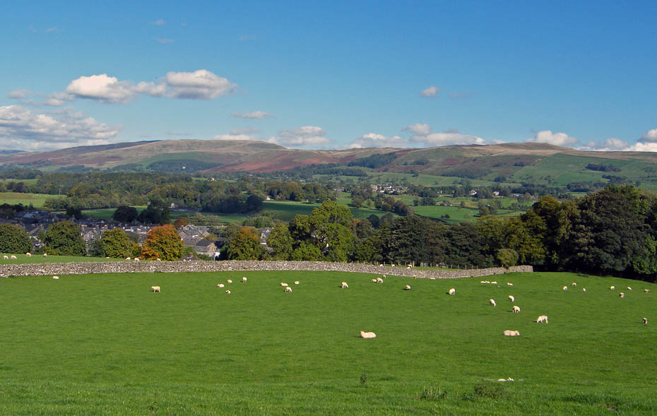
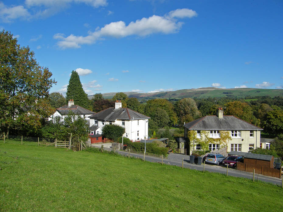
Nearly back.
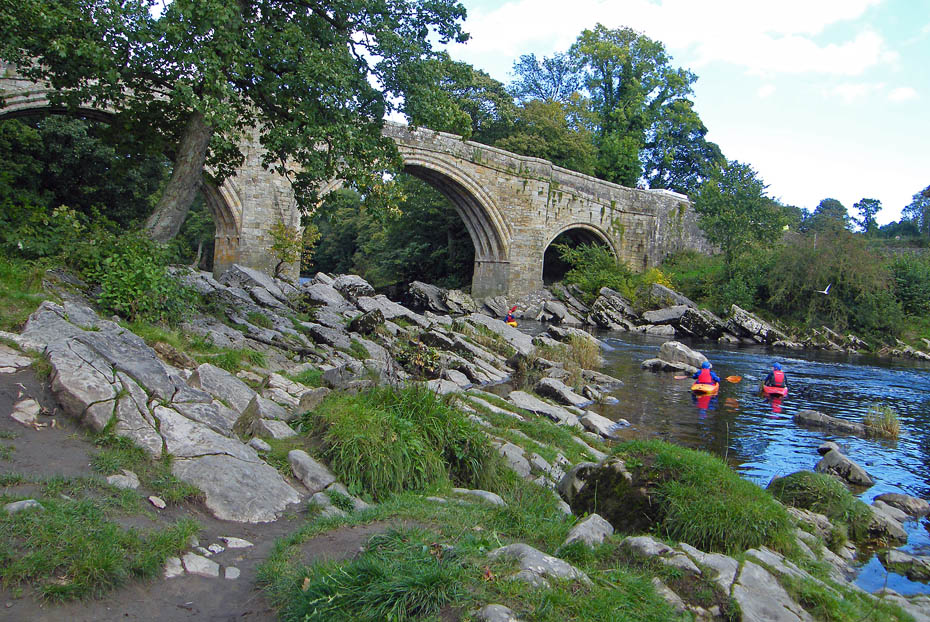
Devil's Bridge
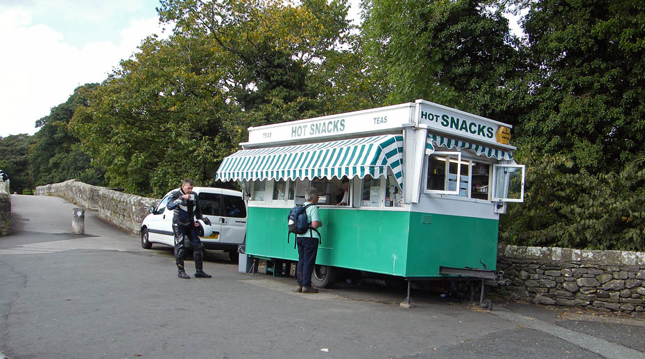
And finally...a bacon bun and a mug of tea.
Next Walk: 6th October 2010 - Lake District - Scout Scar from the old Kendal Racecourse
Last Walk: 2nd October 2010 - Yorkshire Dales - A Ribblehead Ramble
Do you have a Facebook or Twitter account. We post regular updates on both. Just click on either of the links below.
We hope you have enjoyed viewing this walk. If you have any comments please sign our Guestbook or E_Mail us.