
| Area: | Arnside & Silverdale | Ascent: | 500feet |
| Walk No: | 465 | Time: | 3hours 20minutes |
| Date: | 19th October 2010 | Parking: | Leighton Moss RSPB visitor centre |
| Distance: | 6.75miles | Weather: | Dull & grey with a couple of sunny spells |
| Route: |
For those of you that are thinking of going onto the hills I would strongly recommend that you read the advice given by the Mountain Rescue organisation of England and Wales. To read this advice, which will open in a new page please click HERE. If you would like to make a donation to the Mountain Rescue organisation which is purely voluntary please click HERE. Please make the time to read the advice page.
With Edith at her brothers for the day I was left wondering where to go. We were due to go to the Lakes the following day as a fine day had been forecast so I decided on this walk around the Leighton Moss / Gait Barrows and Hawes Water area. It is really a walk best left for the Spring or early Summer to see the area at its best but as I hadn't been feeling too great for a couple of days I needed an easy going walk and this suited the bill perfectly.
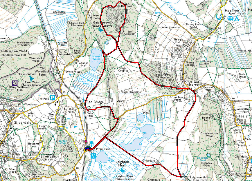
Route Map....walk done in an anti-clockwise direction.
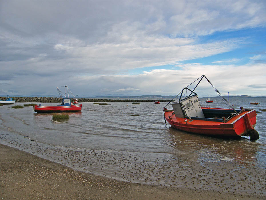
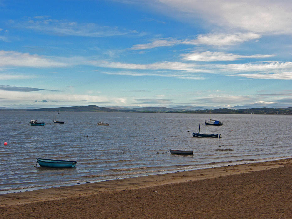
I stopped on the promenade at Morecambe to get a picture or three from across the bay.
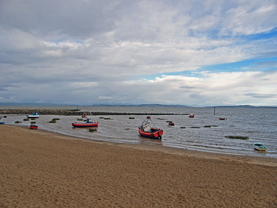
The rock groyn is a recent addition to the foreshore, part of the towns new se defences. The sand as also been imported, this area used to me just mud.
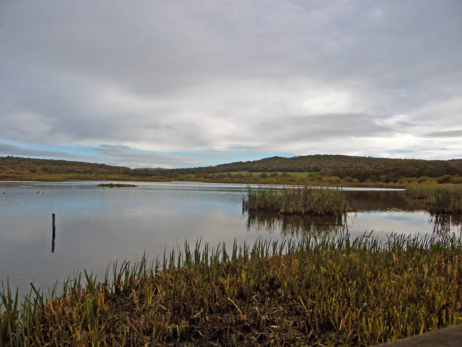
I parked the car at the RSPB visitor centre at Leighton Moss and walked down to the causeway across it.
It wasn't a very bright morning there fore colours are subdued.
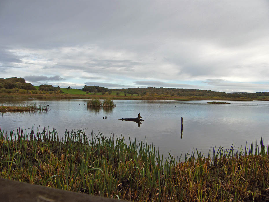
A look across the main pond from the public hide.
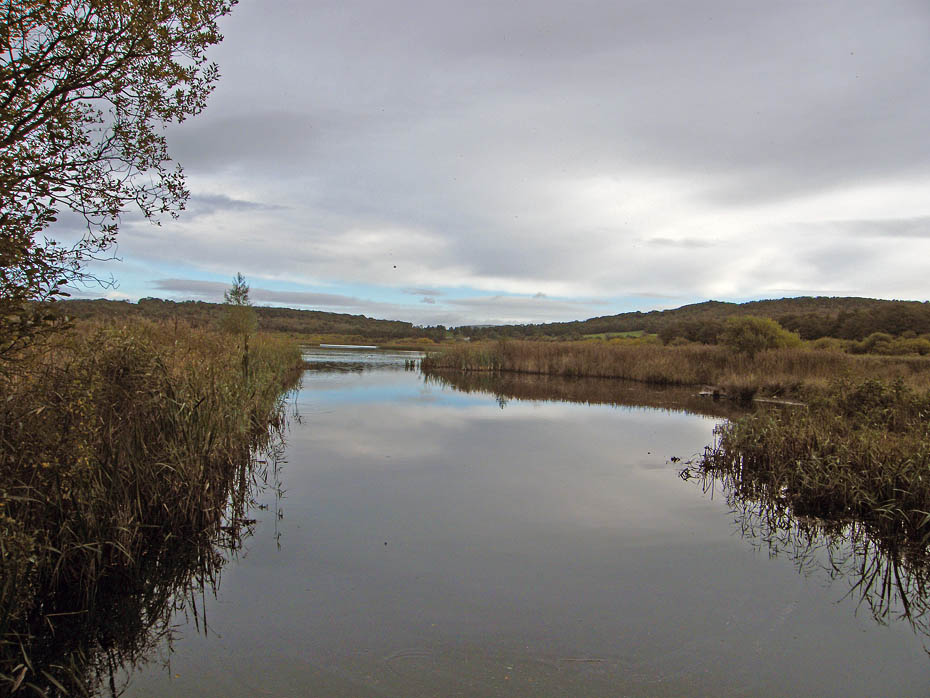
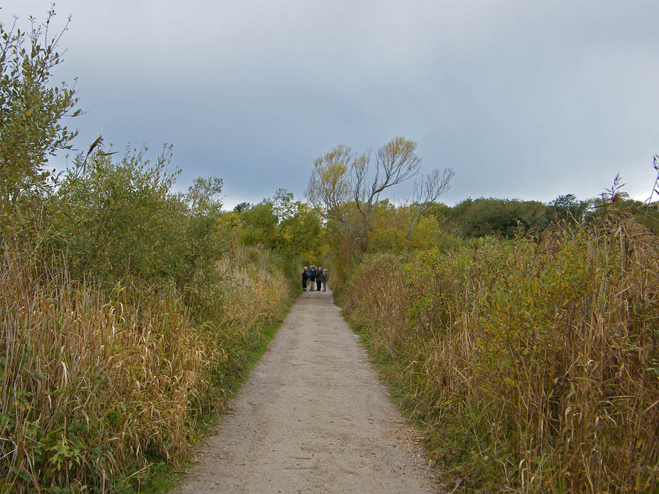
Leaving the causeway the path continues towards Grisedale Farm.
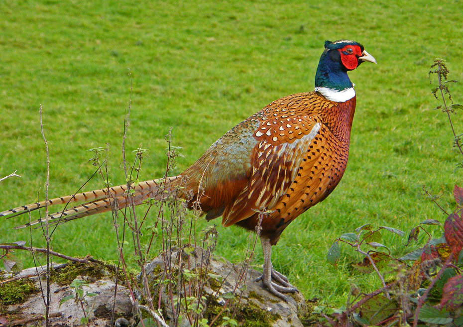
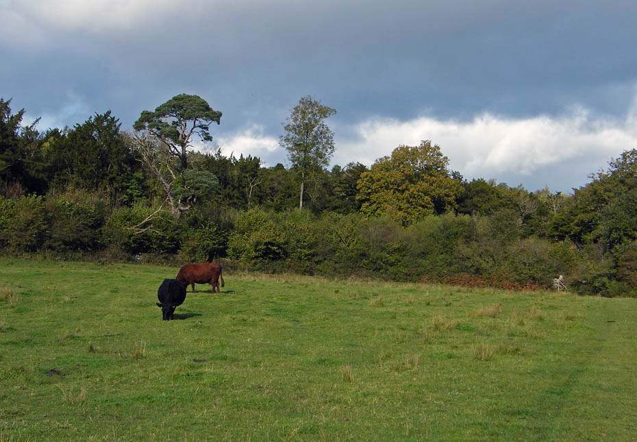
This proud chappie made a willing model as I walked up the lane from Grisedale Farm.
I took a path off to the left to Yealand Storrs before reaching Leighton Hall.
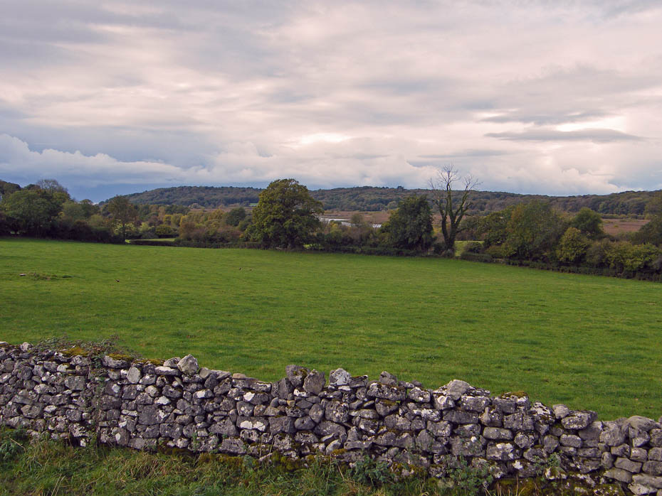
Up to this point the wall/hedge as been to my right but at the gate ahead I take the one on the right to change sides.
A glimpse of Leighton Moss through the trees.
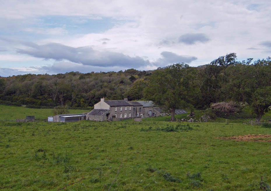
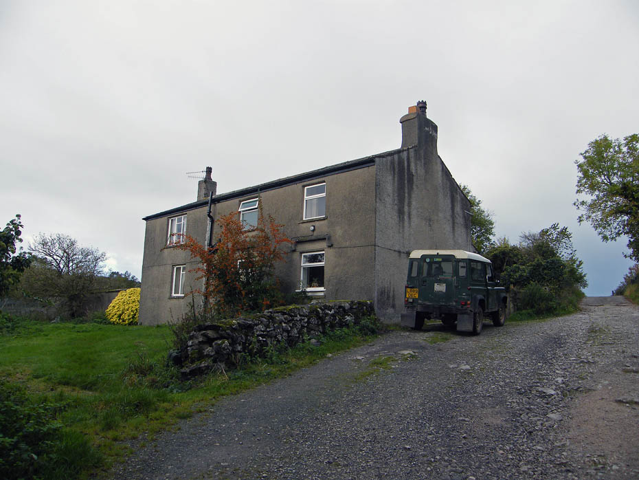
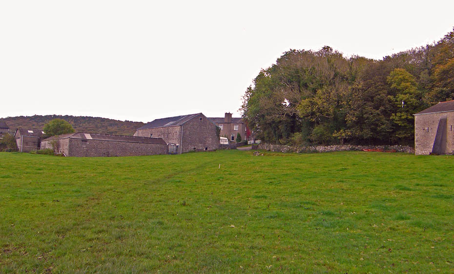
Brow Foot farm.
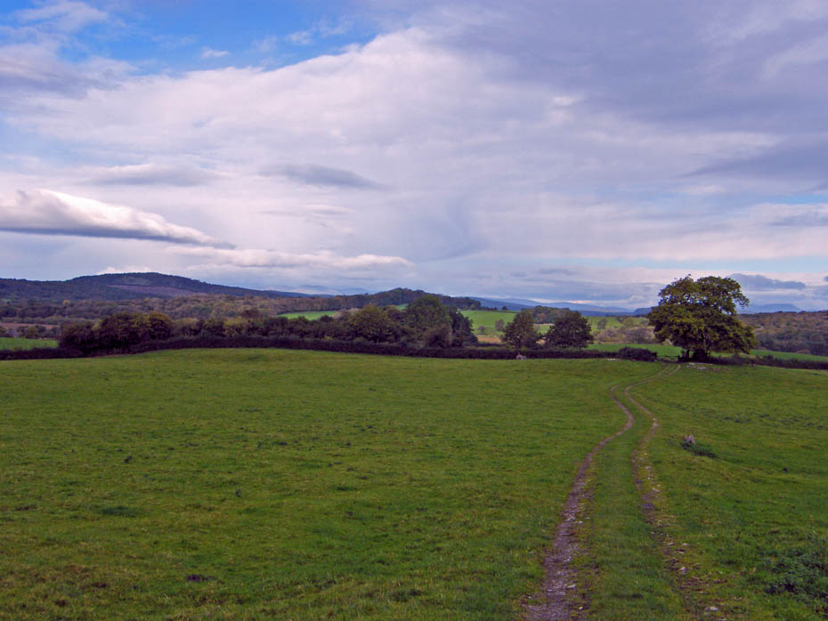
Entering Yealand Storrs, at the road turn left.....
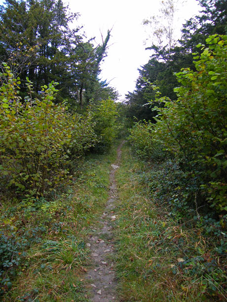
....and in a few yards take the path at the corner of this junction which will take us towards Hawes Water and Gait Barrows
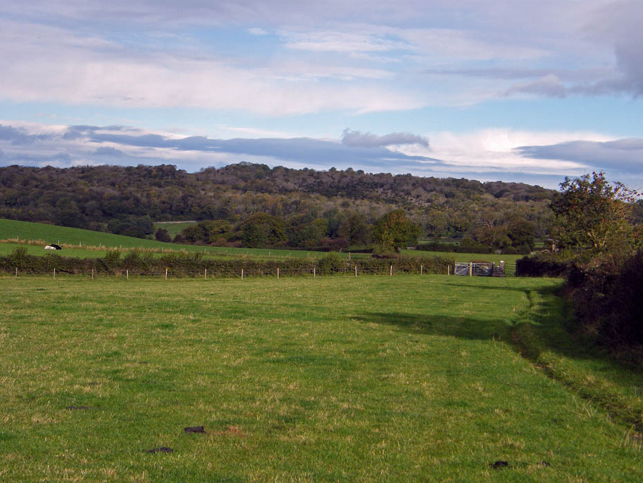
If you are a lover of limestone scenery like myself this area should delight you.
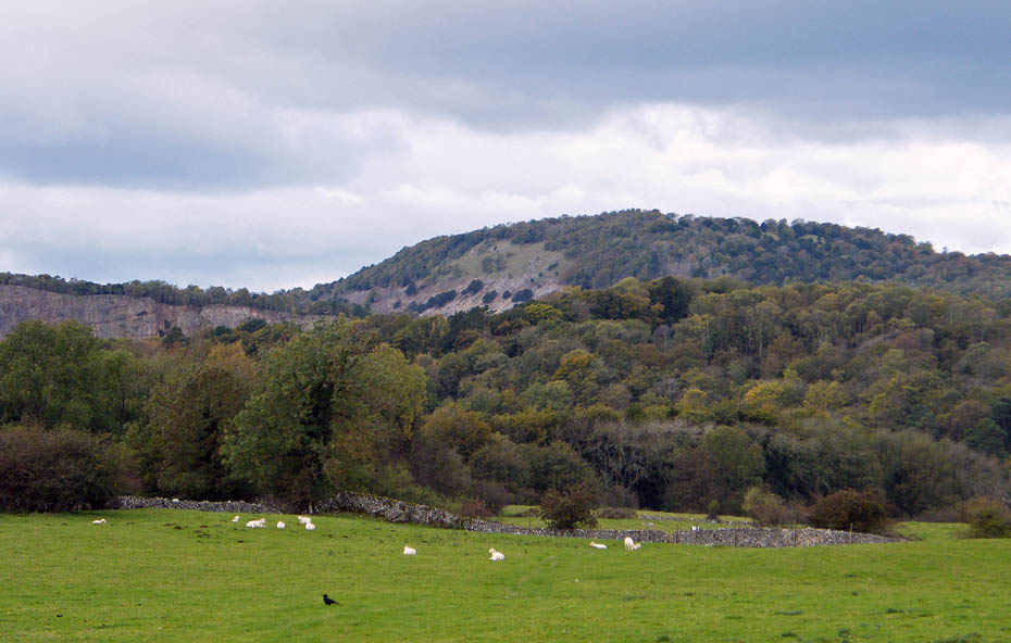
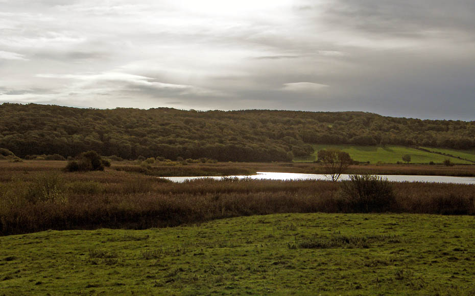
A look over over to Arnside Knott with the top of the disused Middlebarrow Quarry just showing. Hawes Water is hidden behind the trees but we will visit that later.
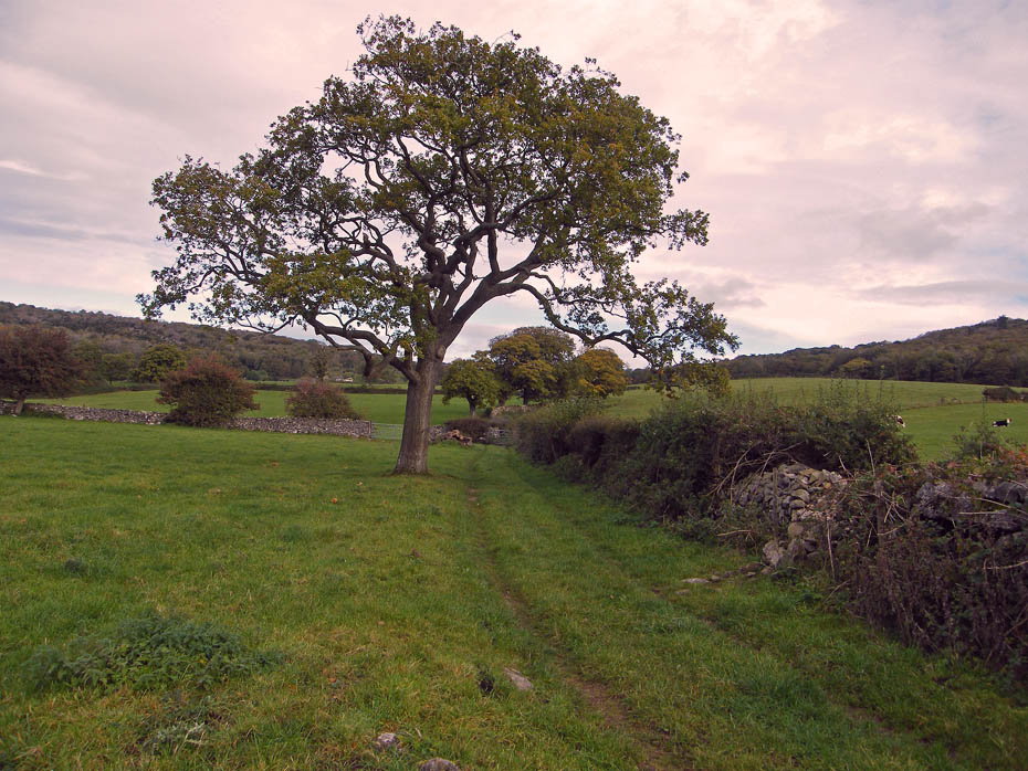
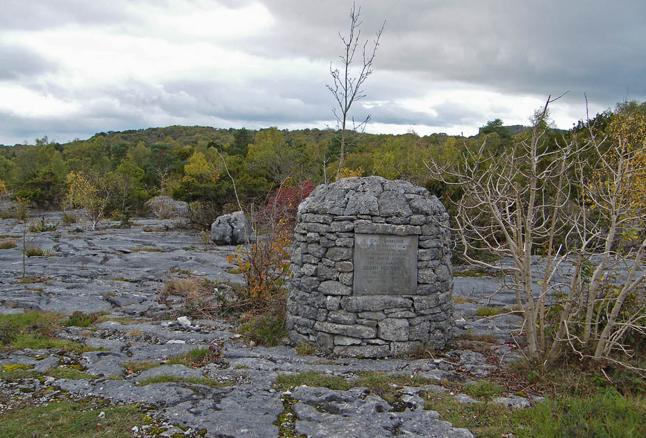
First, a walk through the delightful Gait Barrows
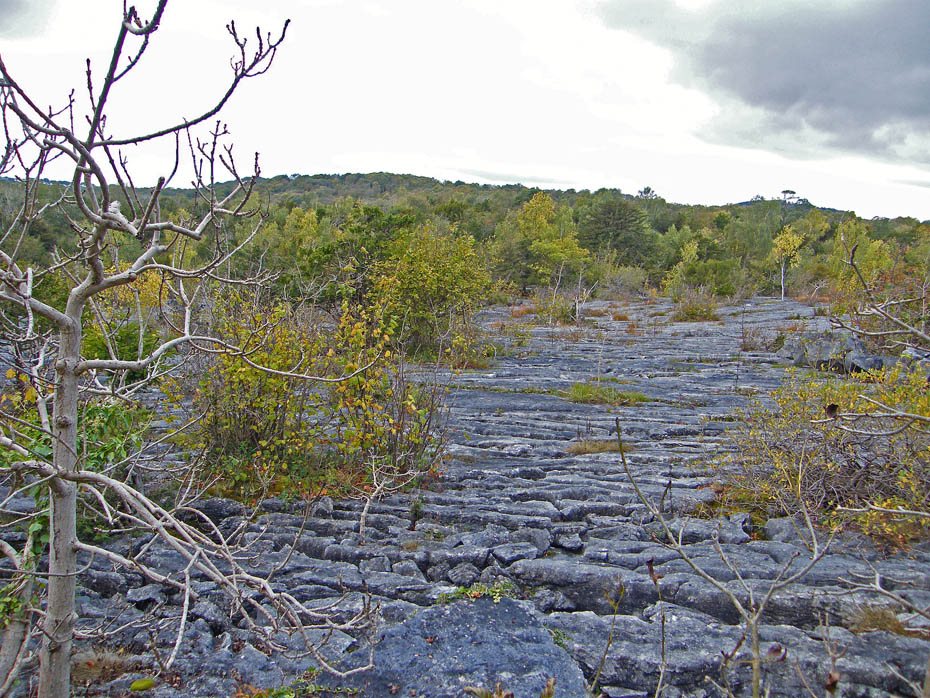
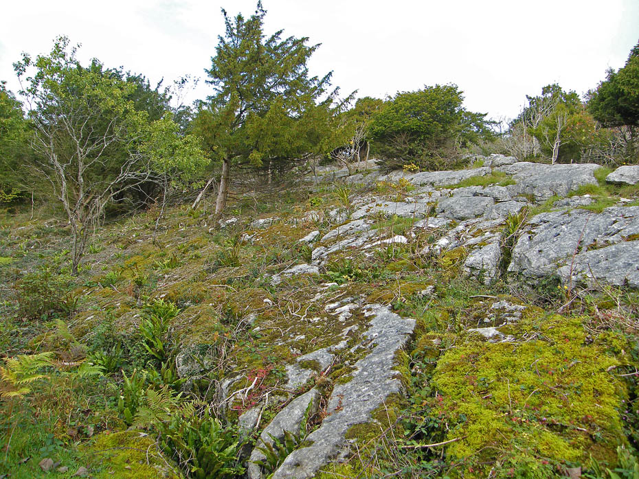
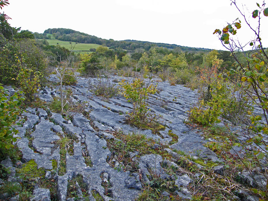
There are some sections of the finest limestone pavement in the area here.
Nearby is home to a number of Lady's Slipper Orchids, supposedly Britain's rarest wild flower.
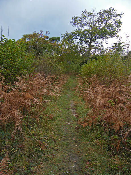
I am now making my way towards Hawes Water.
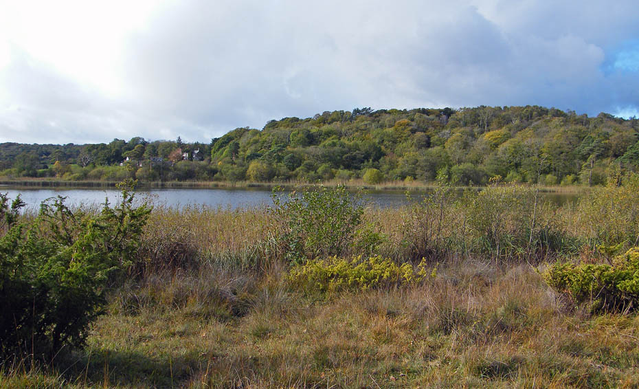
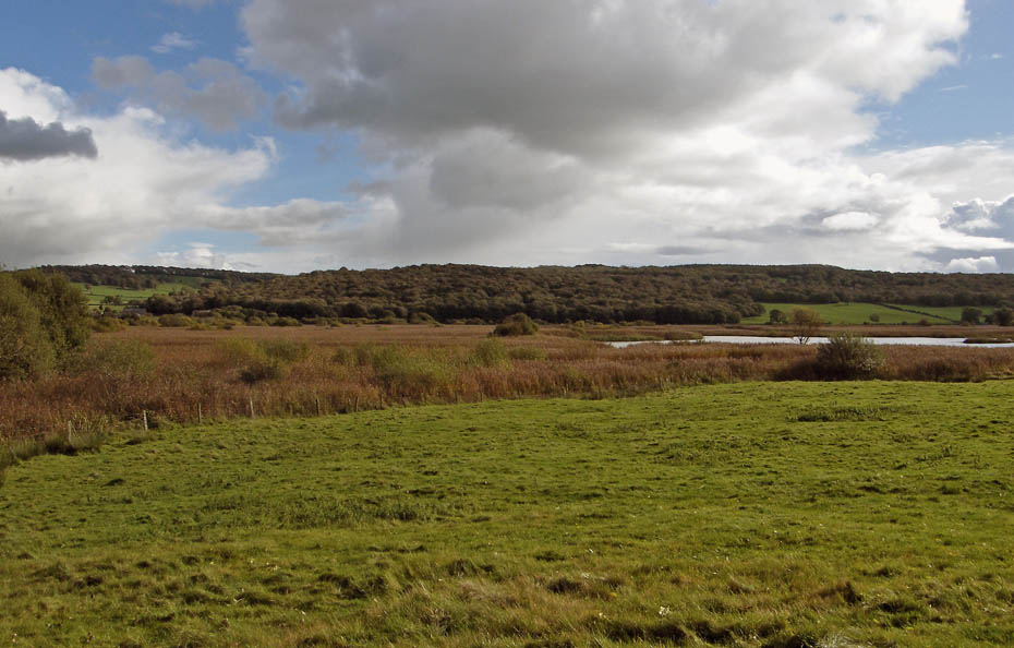
Hawes Water. My next stop would be the old Trowbarrow Quarry, shown on the OS Map as "The Trough"
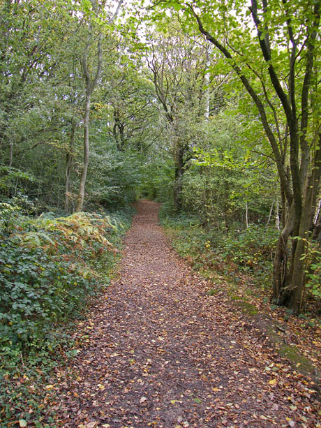
The path from Hawes Water leads out onto this lane.
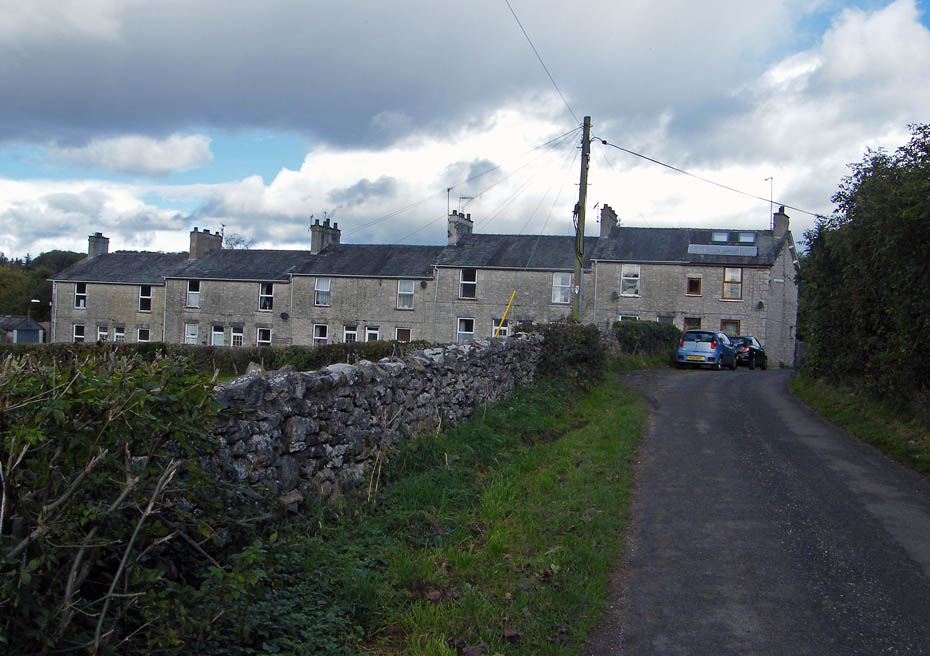
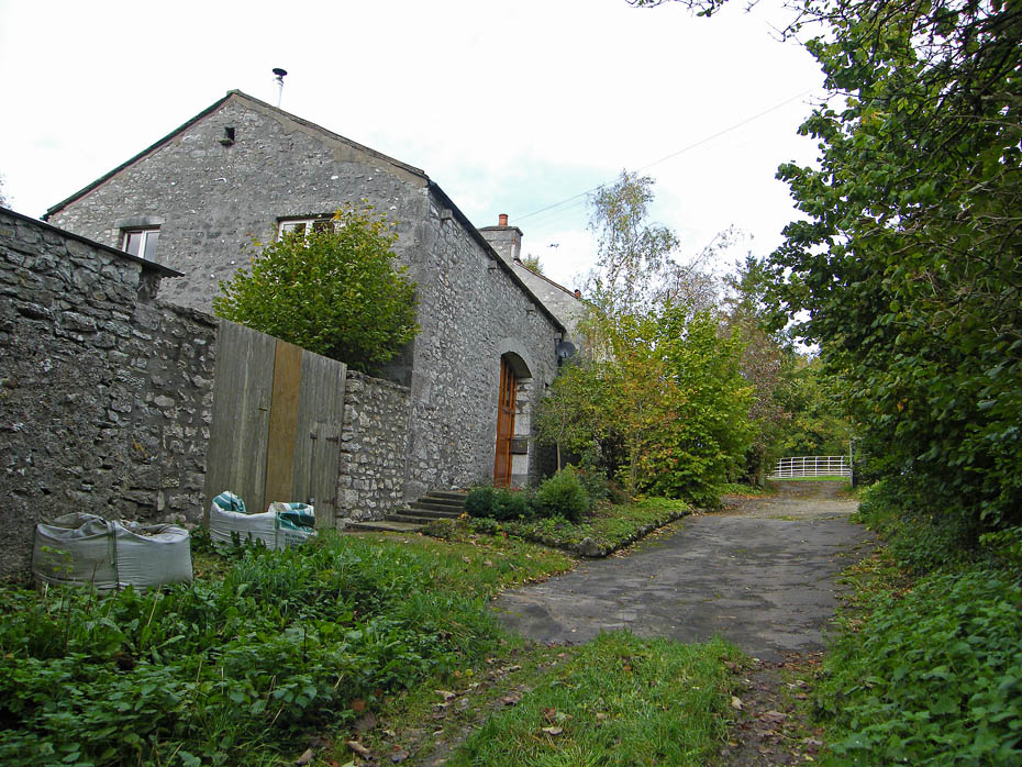
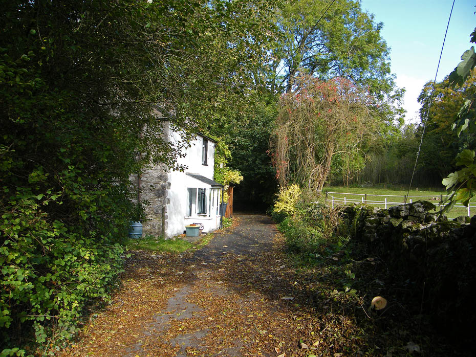
I would assume that these were built for the managers of the old quarry but I'm not absolutely sure.
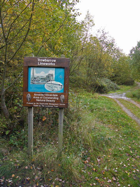
Very little to see of the industrial past but this was once home to a giant Hoffman Kiln.
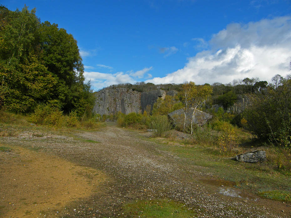
Trowbarrow Quarry.
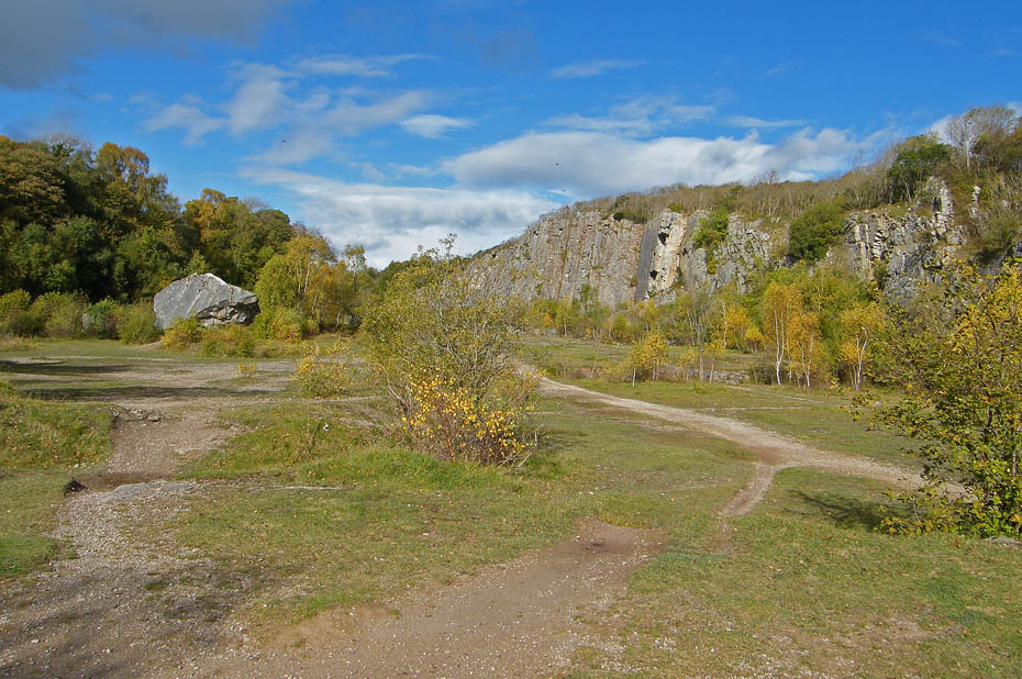
The big rock to the left is known as the "Shelter Stone". Here the quarrymen would take refuge when blasting was being carried out.
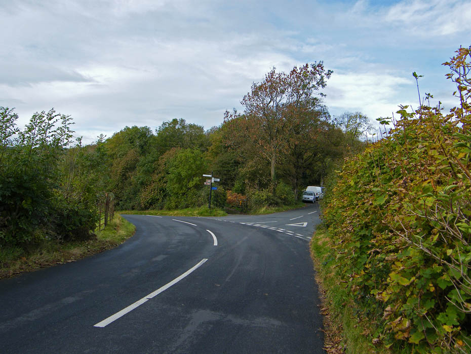
From the south end of the quarry I took a path that led me back to the road to the visitor centre.
Next Walk: 20th October 2010 - Lake District - A Loughrigg Circular
Last Walk: 17th October 2010 - Arnside & Silverdale AONB - A Silverdale Saunter
Do you have a Facebook or Twitter account. We post regular updates on both. Just click on either of the links below.
![]()

We hope you have enjoyed viewing this walk. If you have any comments please sign our Guestbook or E_Mail us.
