
| Area: | Lake District | Ascent: | 525feet |
| Walk No: | 474 | Time: | 2hours |
| Date: | 9th November 2010 | Parking: | Moorhowe Road (NY423005) |
| Distance: | 4.50miles | Weather: | Rain, Sleet, Sun, very windy & cold |
| Route: |
For those of you that are thinking of going onto the hills I would strongly recommend that you read the advice given by the Mountain Rescue organisation of England and Wales. To read this advice, which will open in a new page please click HERE. If you would like to make a donation to the Mountain Rescue organisation which is purely voluntary please click HERE. Please make the time to read the advice page.
I was by myself today, Edith being at her brothers and as the Lakes had had it's first significant snow of the winter I wanted to have a look at it. It didn't look too pleasant as I drove along the promenade at home. The hills were barely visible and there was a very strong NNE breeze. I decided to take the road from Ings to Troutbeck and park along it near the lane to Dubbs Reservoir. It was in my mind to go up Sour Howes and Sallows but as I set off straight into the cold wind my lungs seemed to "lock up" and breathing was difficult. I therefore decided to follow the lane (Dubbs Road) until it joined the Garburn Road and see how things went.
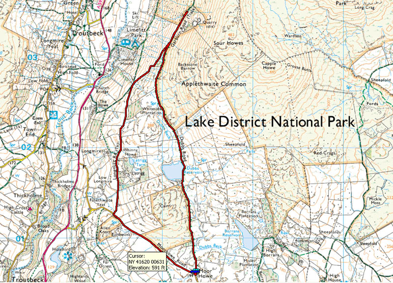
Route Map
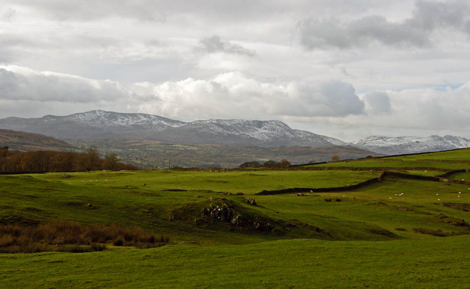
Having parked the car up I set off along the tracked named Dubbs Road. There was fresh NNE'ly wind that seemed to go straight to my lungs. To my left the Coniston Fells had a slight dusting of snow near the summits.
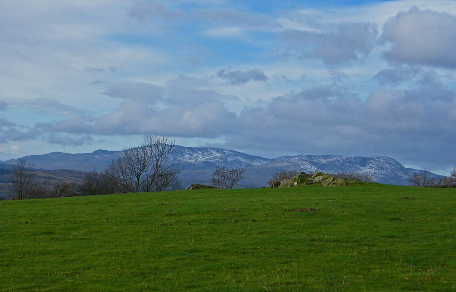
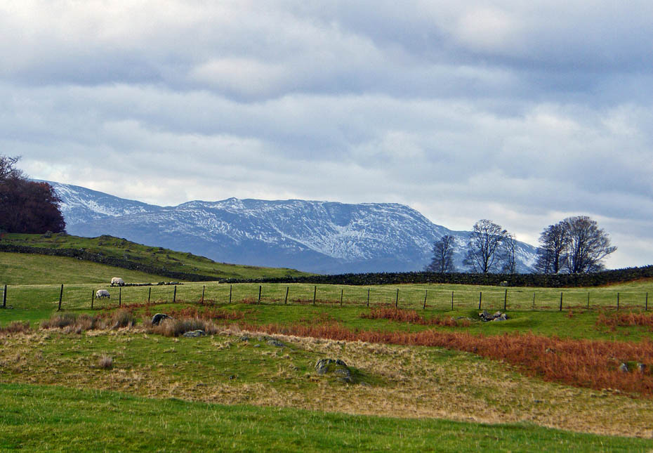
I had hoped to go up Sour Howes, seen here, over Applethwaite Common but with my breathing worse than ever with the cold air I soon realised that it wasn't a good idea.
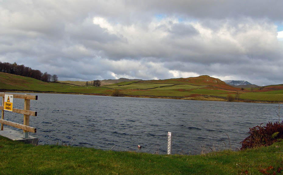
The normally placid waters of Dubbs Reservoir were even being disturbed by the breeze.
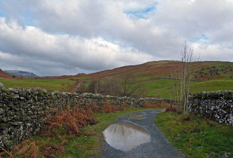
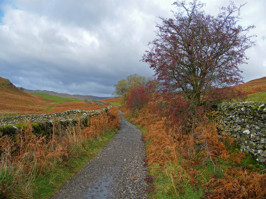
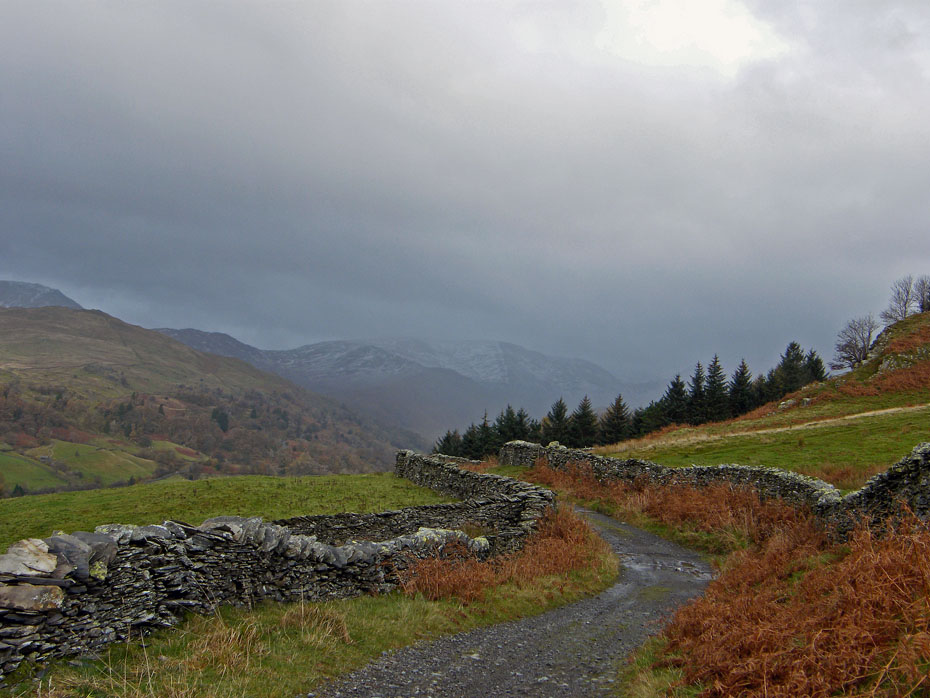
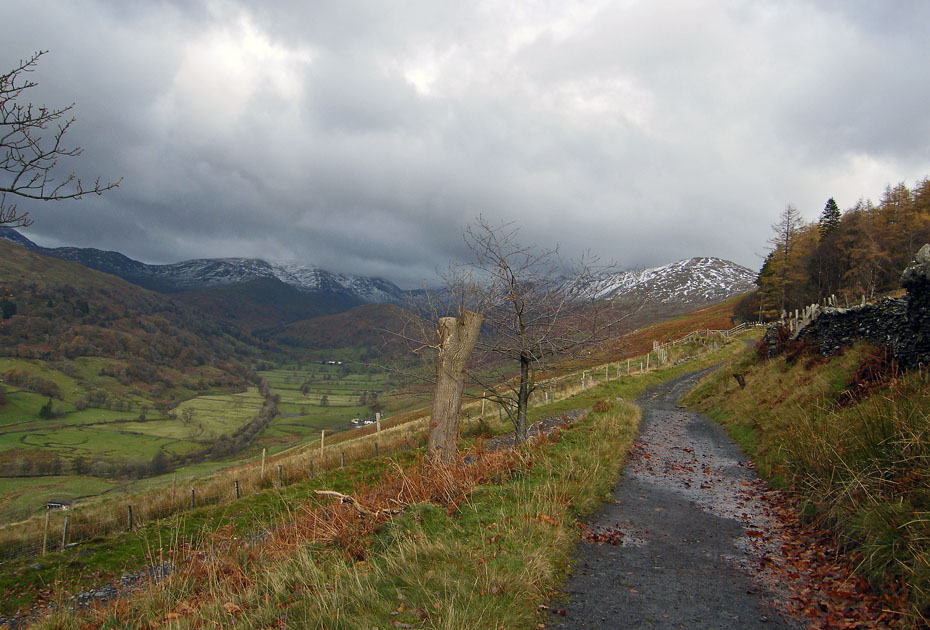
The way ahead.
A chilly looking Wetherlam.
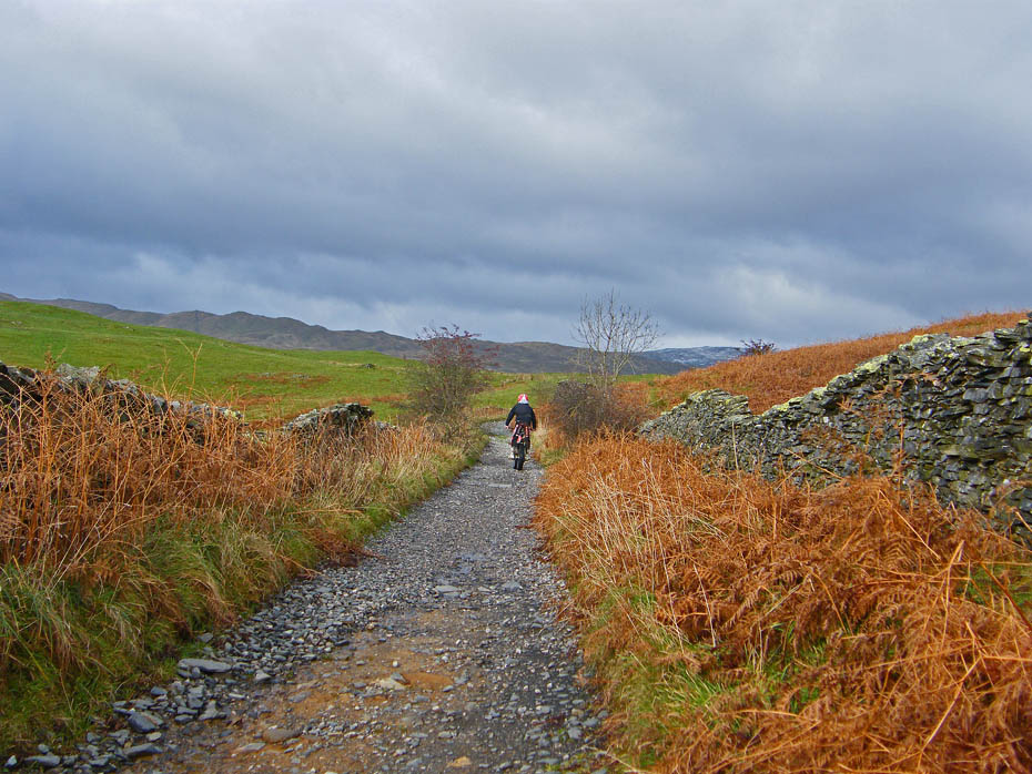
I only met 2 people all day. This young man on a trail bike and a walker near the old quarry below Garburn.
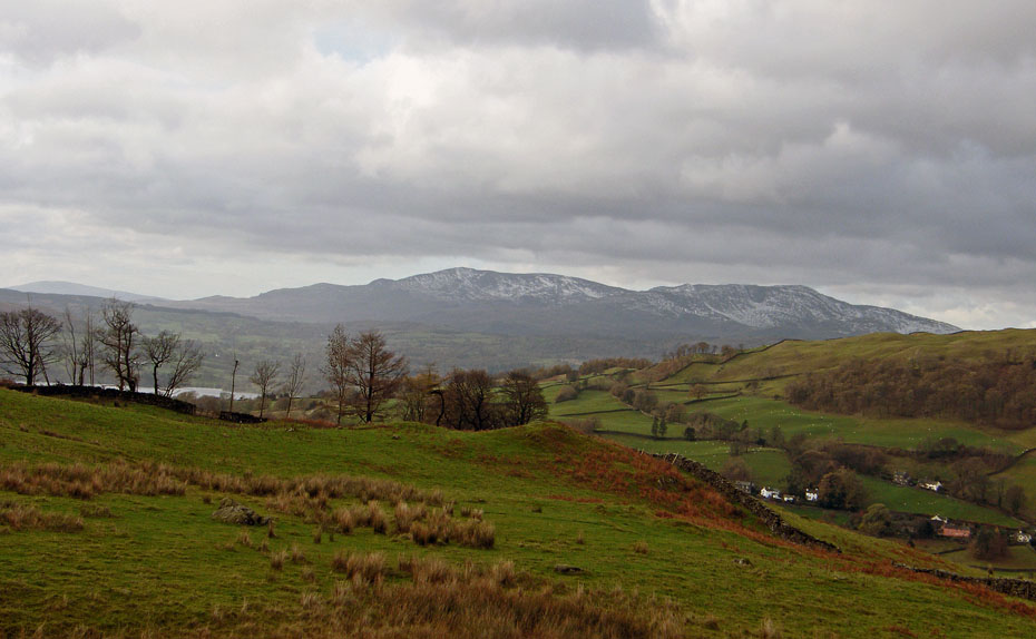
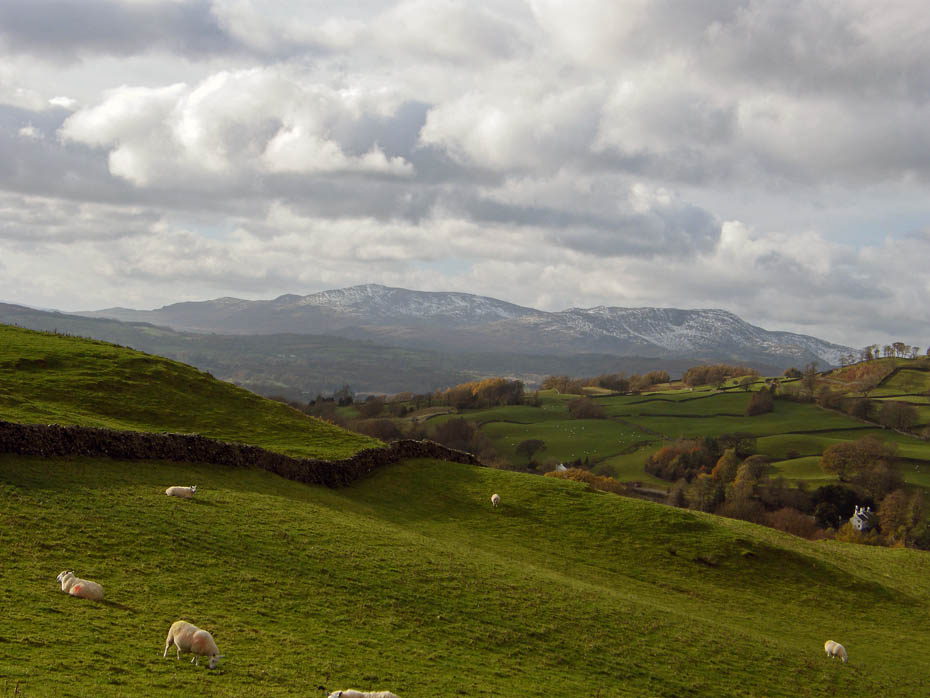
The Conistons again with Windermere just showing to the left.
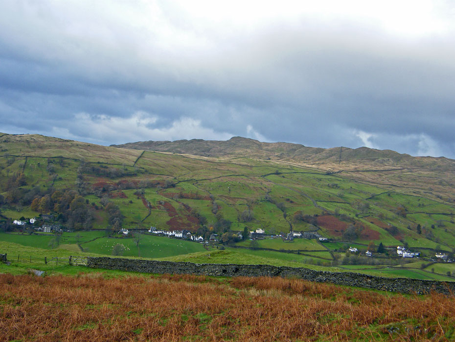
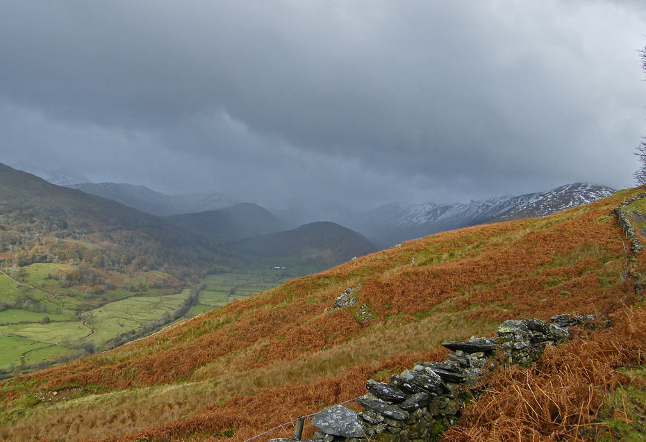
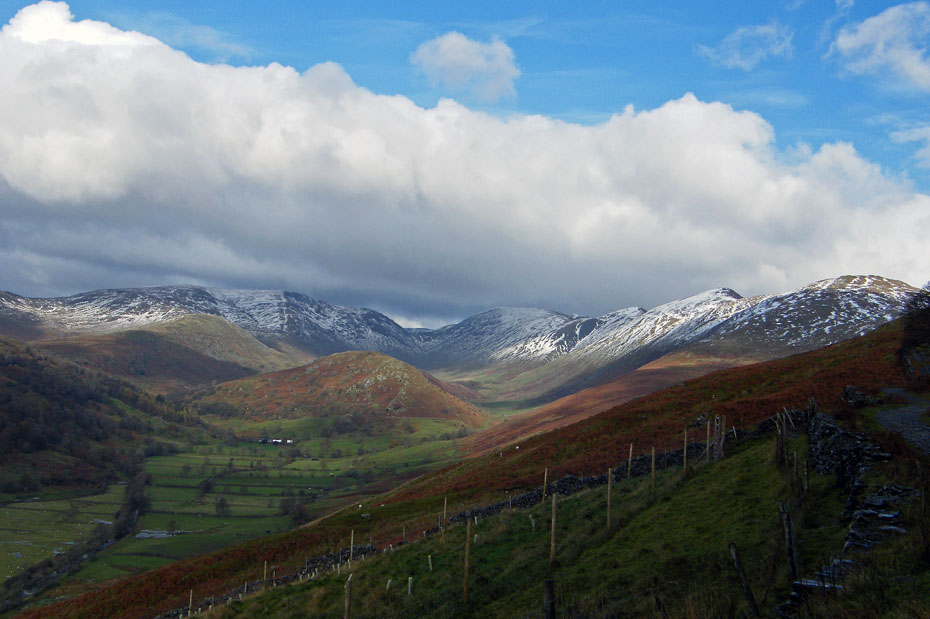
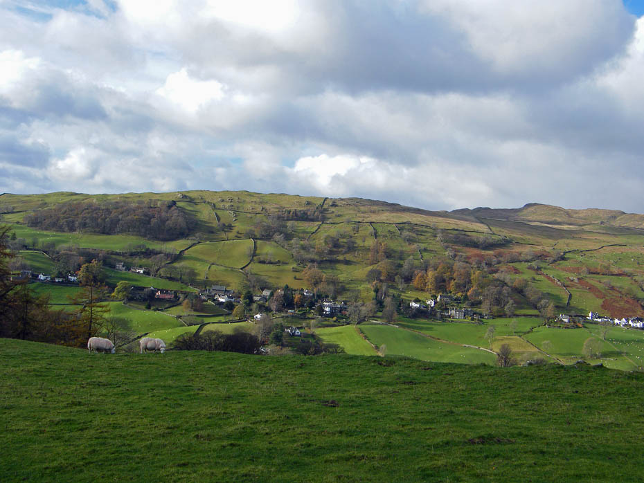
A view across the Troutbeck valley to Wansfell Pike.
The views ahead are restricted by passing showers which fortunately kept missing me.
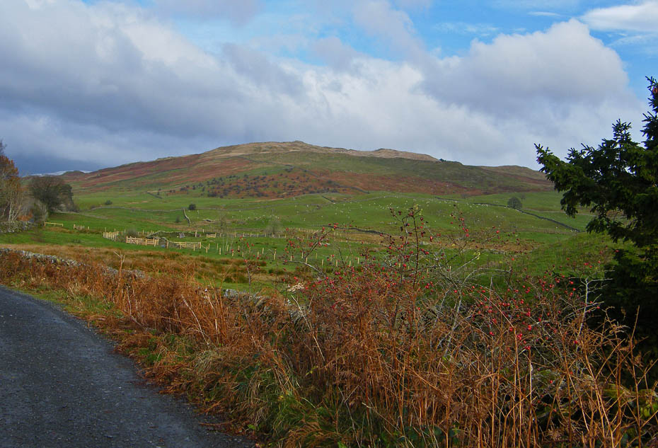
Applethwaite Common. This would have been my route to Sour Howes if I was feeling OK.
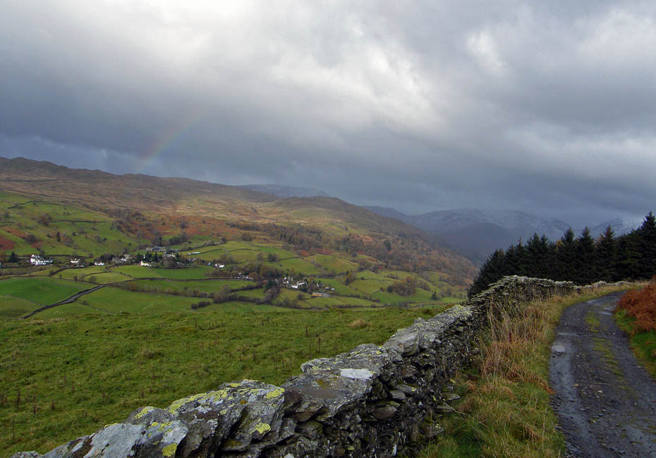
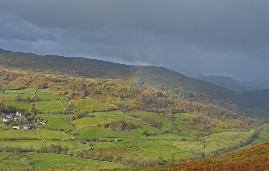
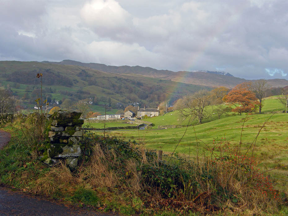
A hint of a rainbow as I carry on ahead to join the track of the Garburn Road.
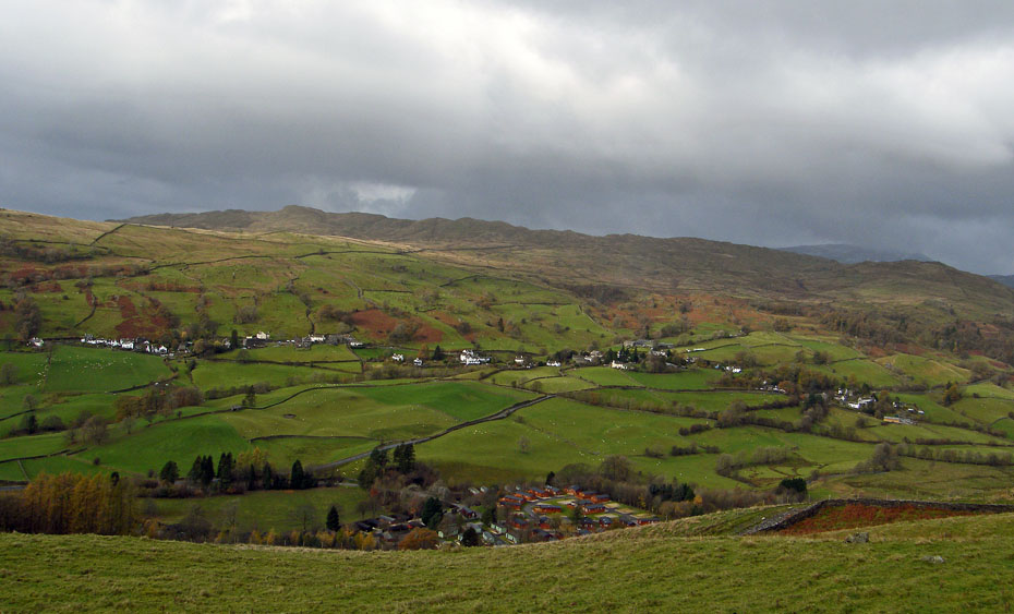
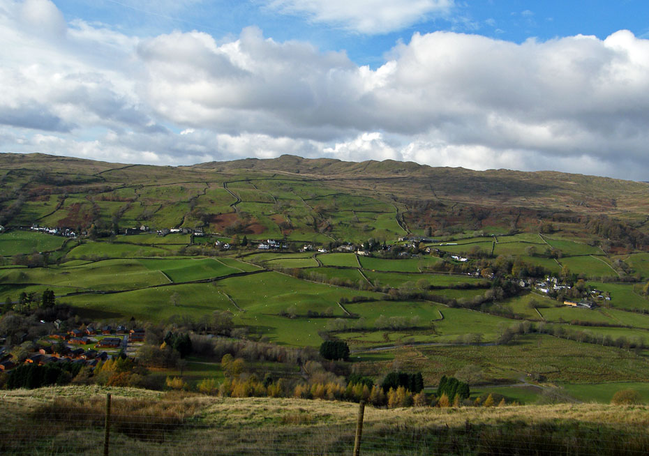
A look down on Limefitt Holiday Park.
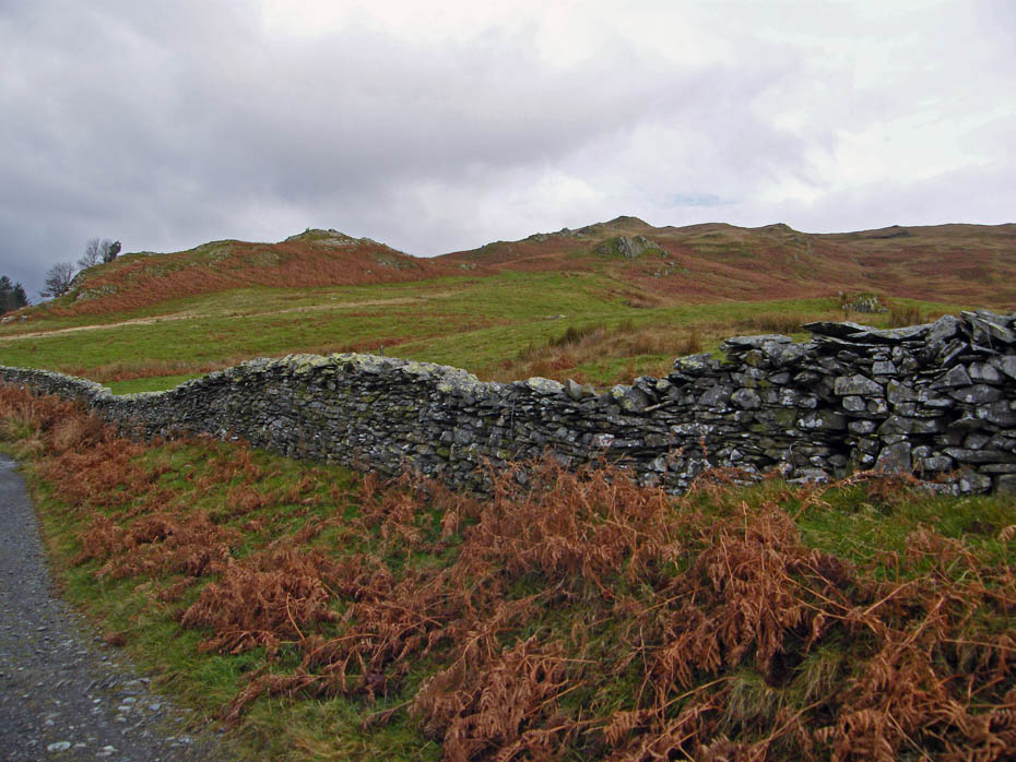
A joining of tracks. The Dubbs Road joins the Garburn Road.
I decided to carry on a while hoping that there would be a break in the showers.
As I approached the old quarry I was caught by a gent who was walking to the Garburn Pass from Troutbeck. He lived in Hest Bank, not far from Morecambe. We had a bit of a natter as a shower passed over us.
With the day showing little sign of improvement and my breathing clearly not right I decided to call it a day and turned around.
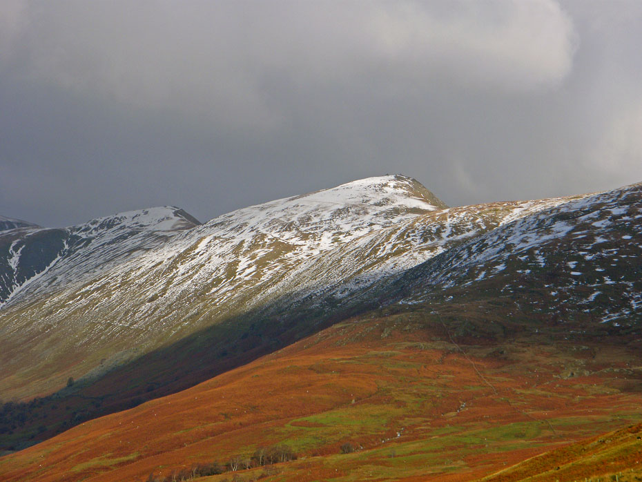
As so often happens when you turn your back on a view the sun catches it.
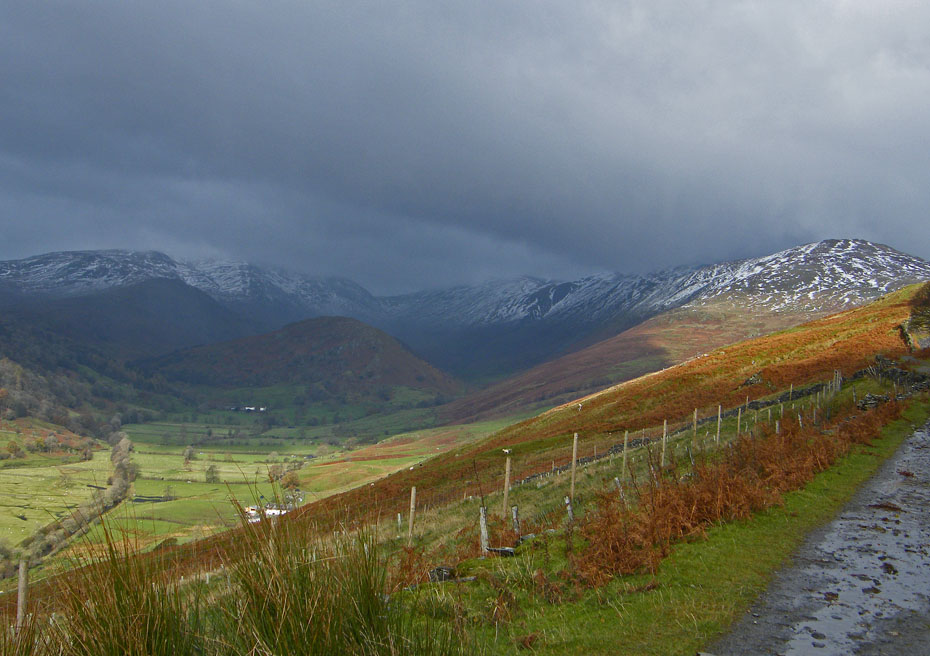
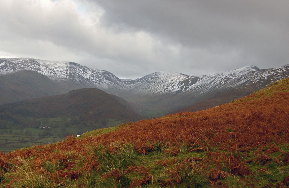
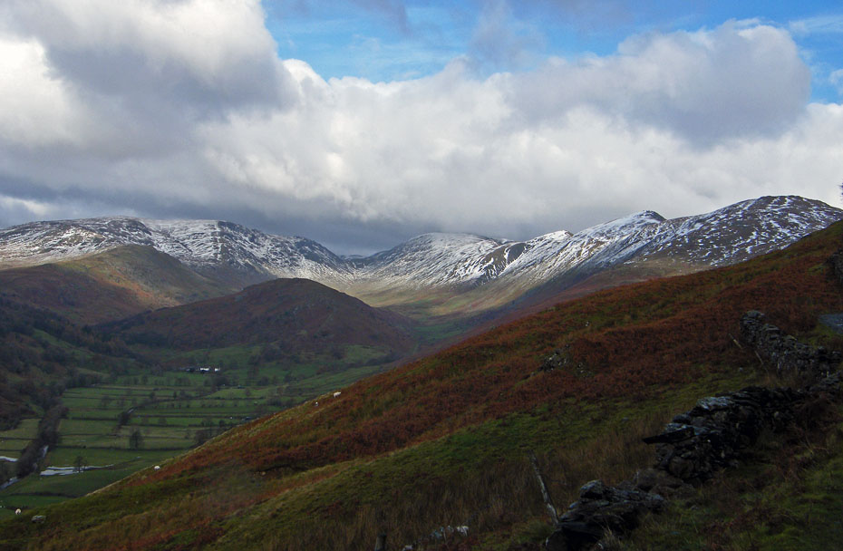
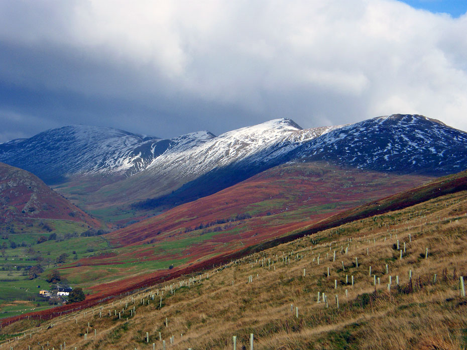
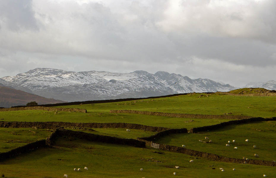
Yoke, Ill Bell and Froswick
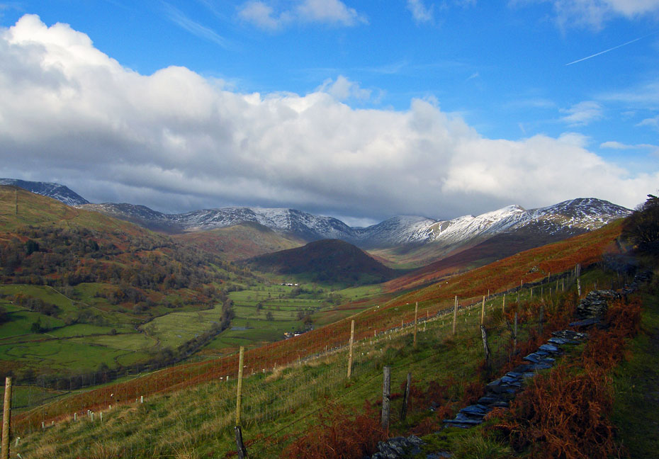
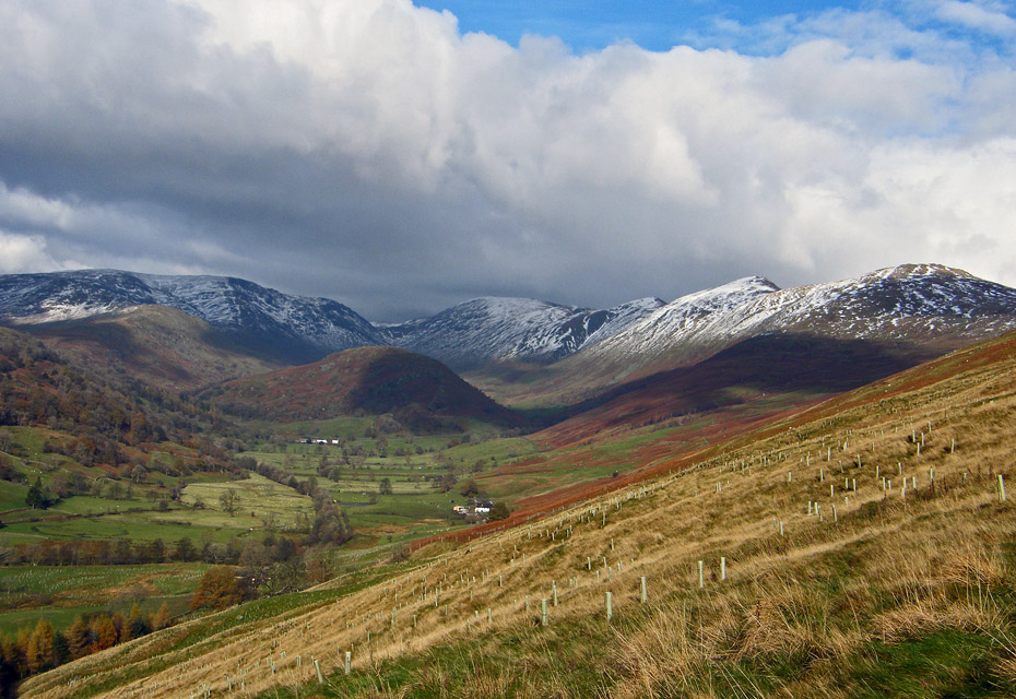
As I walked back down the track I was continually stopping to look back to where the views were continuously changing.
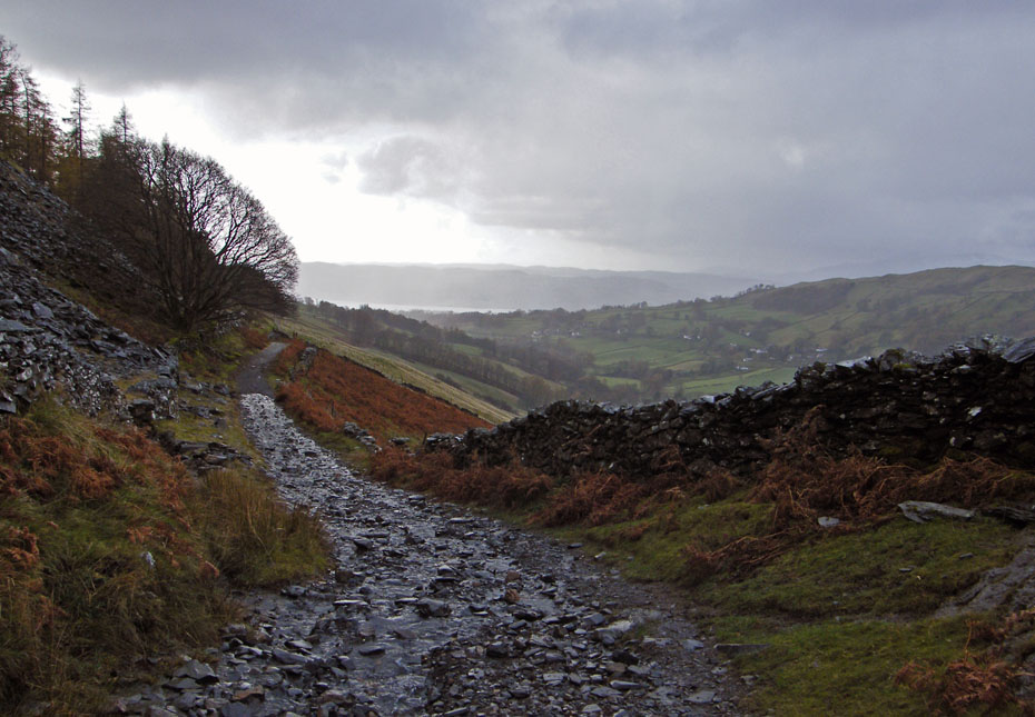
Rather than return back along the Dubbs Road I took the Garburn Road down until it joined the Longmire Road along which I returned.
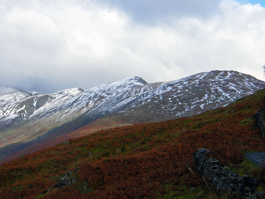
Cold Conistons.
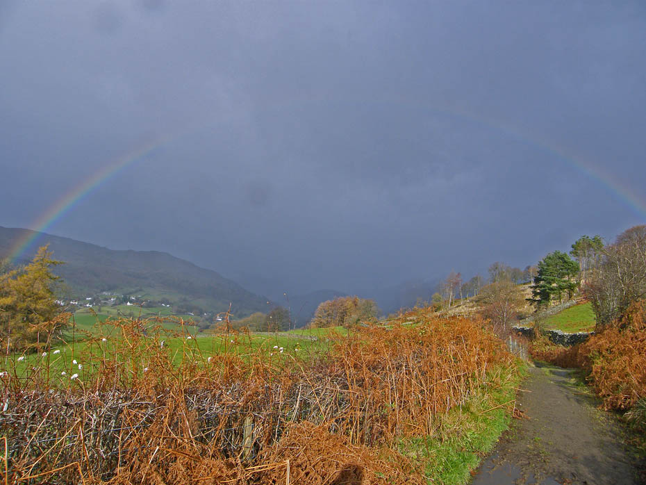
Another rainbow forms as yet another shower passes by.
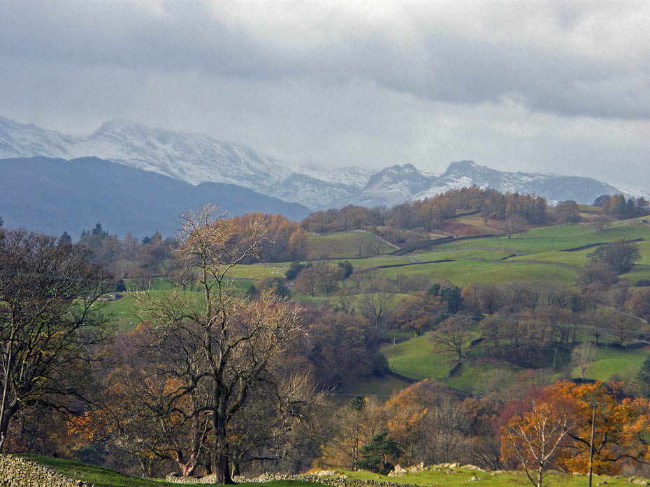
A big close up of Bowfell and the Langdale Pikes
There's a pot of gold at Low Longmire as I reach the Ings to Troutbeck road.
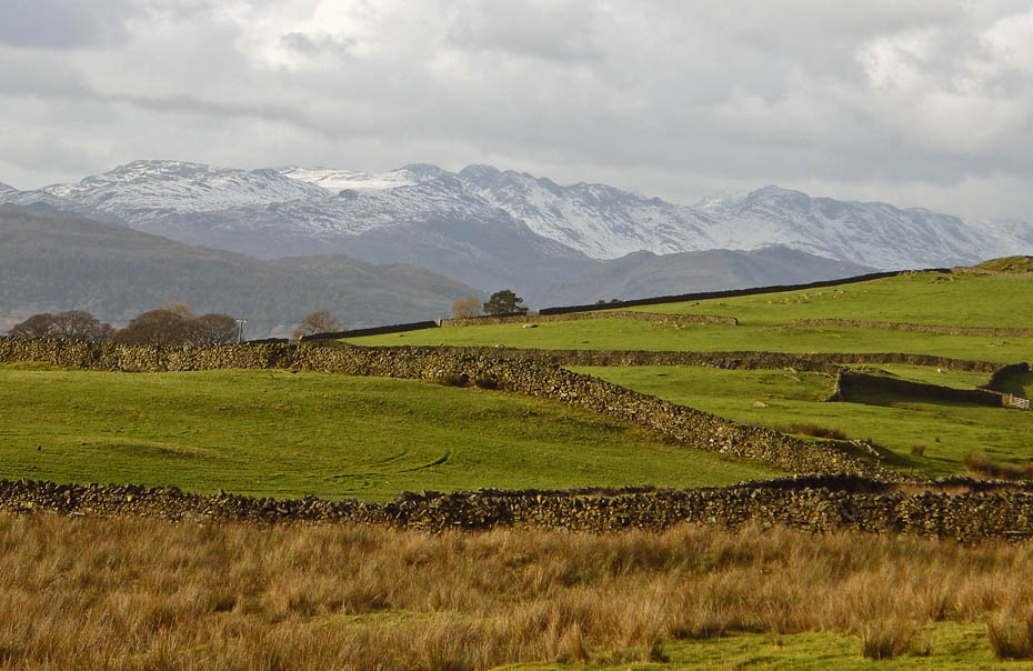
Pike O'Blisco , Crinkle Crags and Bowfell as I make my way back to the car.
And finally....back to the car and a visit to Wilfs at Staveley for a warm drink.
Next Walk: 10th November 2010 - Lake District - Black Fell from Tarn Hows
Last Walk: 7th November 2010 - Lake District - Whitbarrow from the Lyth Valley
Do you have a Facebook or Twitter account. We post regular updates on both. Just click on either of the links below.
![]()

We hope you have enjoyed viewing this walk. If you have any comments please sign our Guestbook or E_Mail us.
