
| Area: | Lake District | Ascent: | 855feet |
| Walk No: | 475 | Time: | 3hours |
| Date: | 10th November 2010 | Parking: | Tarn Hows NT Car Park (Free to members) |
| Distance: | 5.00miles | Weather: | Wall to wall blue sky and sunshine. |
| Route: |
For those of you that are thinking of going onto the hills I would strongly recommend that you read the advice given by the Mountain Rescue organisation of England and Wales. To read this advice, which will open in a new page please click HERE. If you would like to make a donation to the Mountain Rescue organisation which is purely voluntary please click HERE. Please make the time to read the advice page.
The forecast the previous evening had promised a gorgeous day but I was unsure whether I could enjoy it as Edith had a check-up at the doctors at 2-30pm and would need the car. However a phone call to her brother sorted out the problem and shortly after breakfast I was away. What a difference a day makes, as I drove along the promenade the views across the bay were magnificent.
Route Map
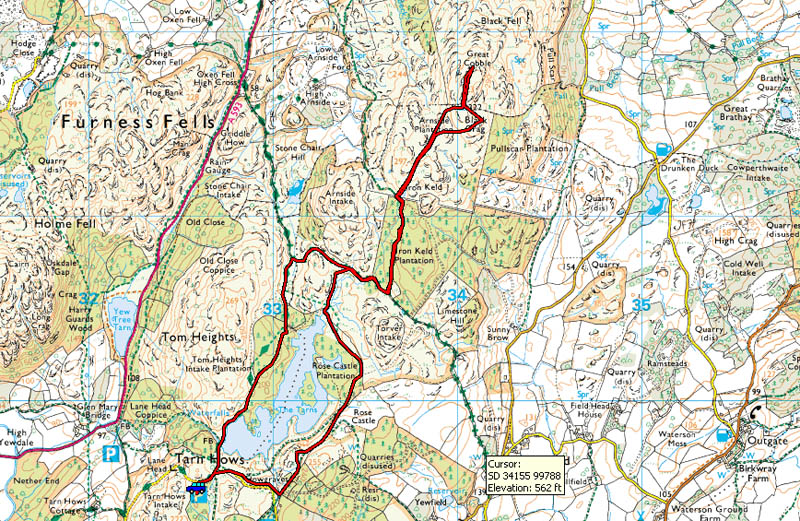
The car parked I made my way to Howgraves with Wetherlam behind me.
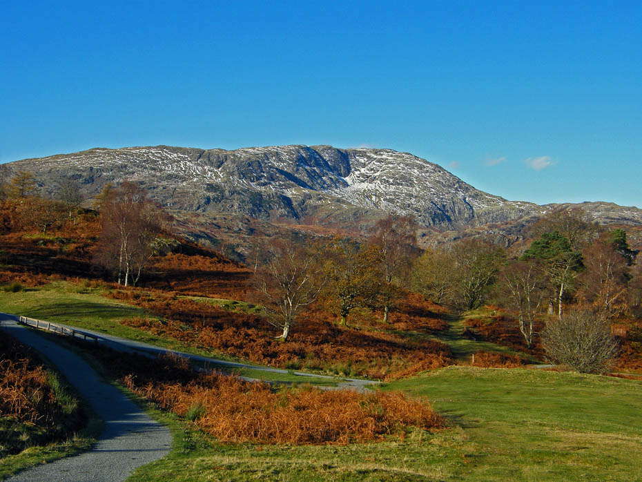
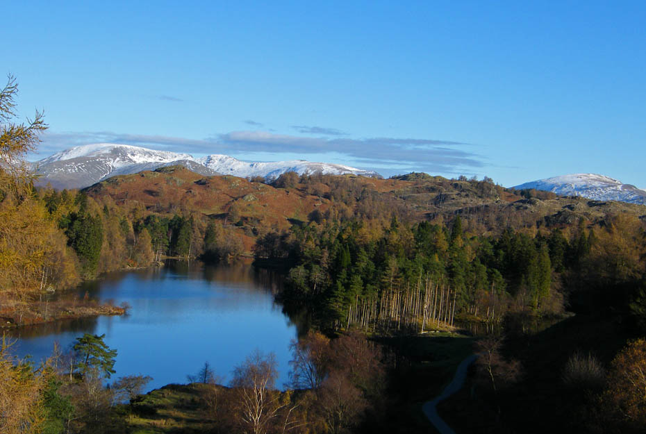
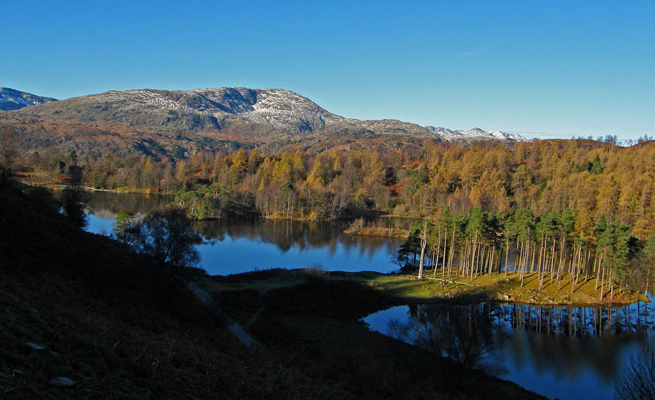
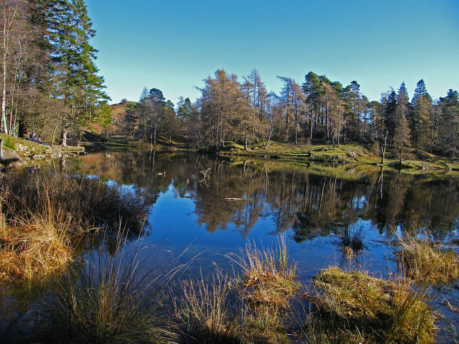
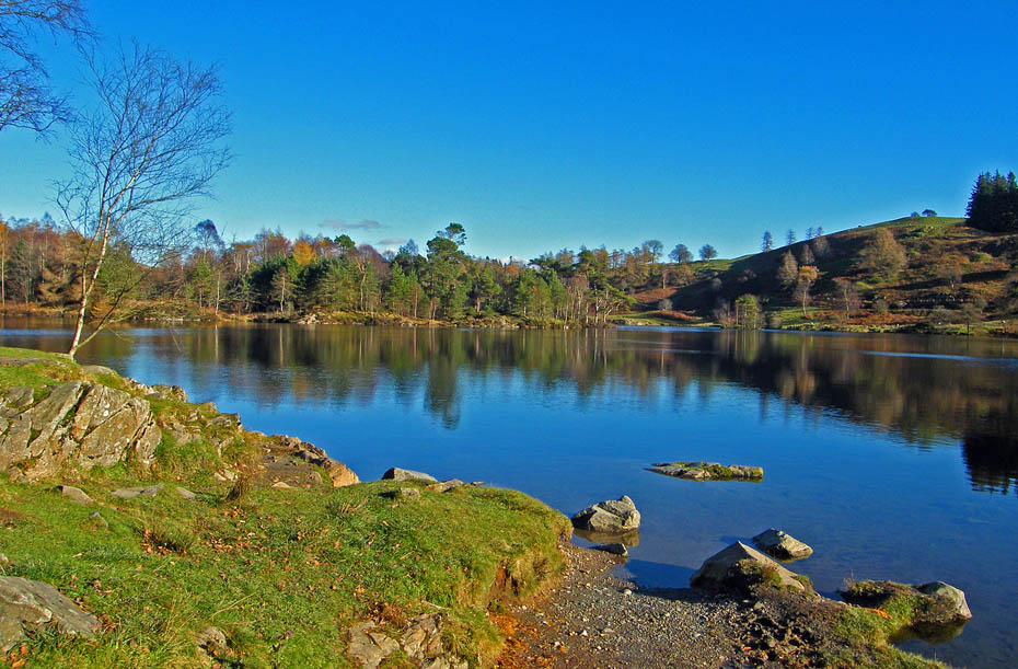
The Tarns looked amazingly blue. However there was a slight breeze which spoilt any reflections.
Wetherlam again from my route to Howgraves.
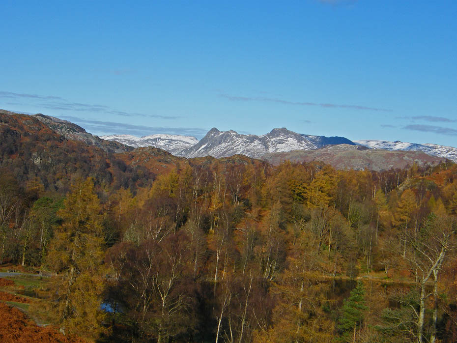
A glimpse of the Langdale Pikes from Howgraves.
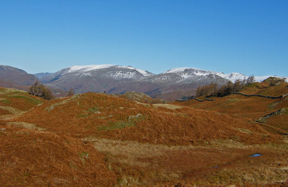
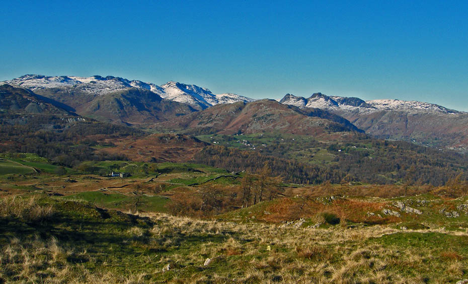
The Coniston Fells from Howgraves.
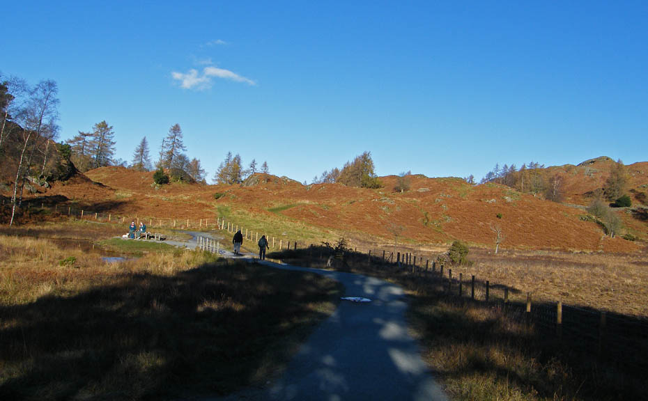
When I reached the top of The Tarns I left the path around them to take the path visible over the two walkers up to the bridleway from Knipe Fold to High Cross.
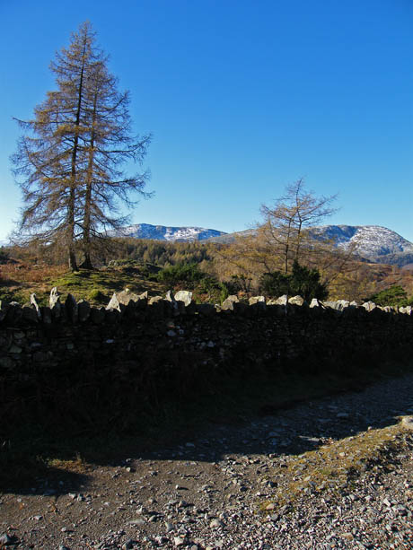
On reaching the bridleway a right turn soon had me at the entrance to the Iron Keld plantation.
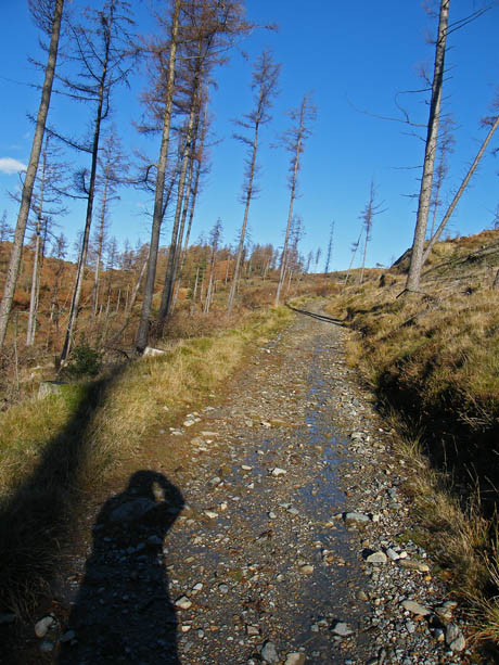
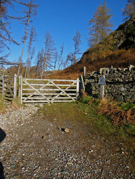
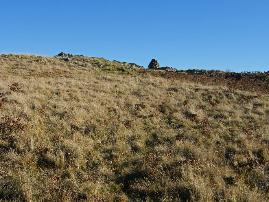
The path through Iron Keld rises slowly to the gate sen in the picture (r)
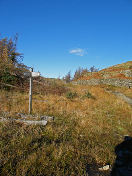
After felling a few years ago at least there are now some views and the undergrowth as returned.
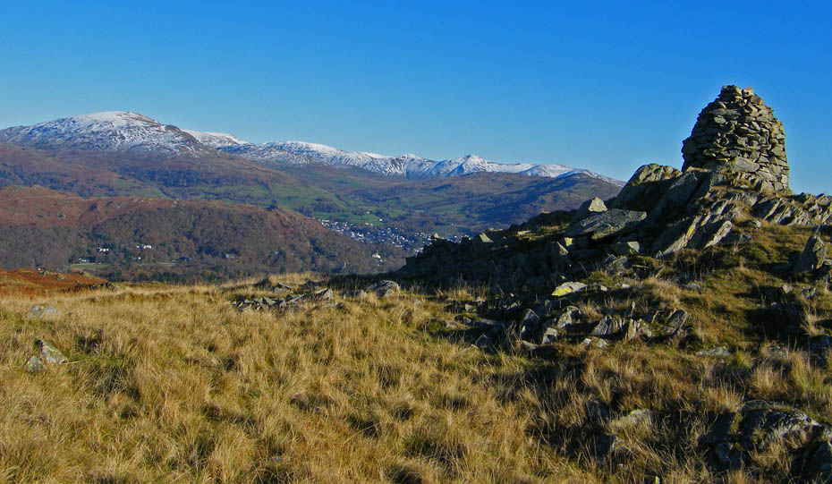
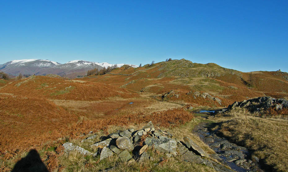
After passing through the gate at the top of Iron Keld a sharp right turn gets me on the path towards Black Fell. The summit trig point can be seen on the highest point in the centre of the picture but first I left the path to make my way over to the SE Cairn on the right.
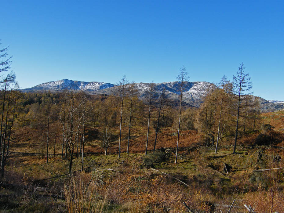
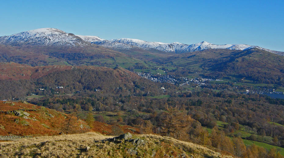
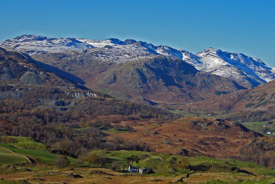
A close up of the Fairfield and Helvellyn Fells before I leave the path....
.....and over Lingmoor to the Langdales.
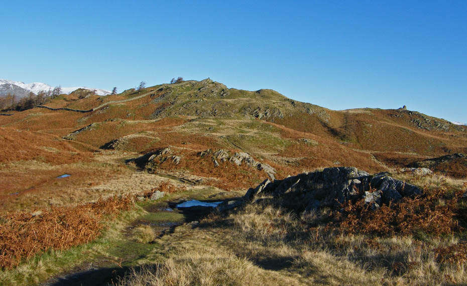
Almost there....
A perfect place to regain my breath.
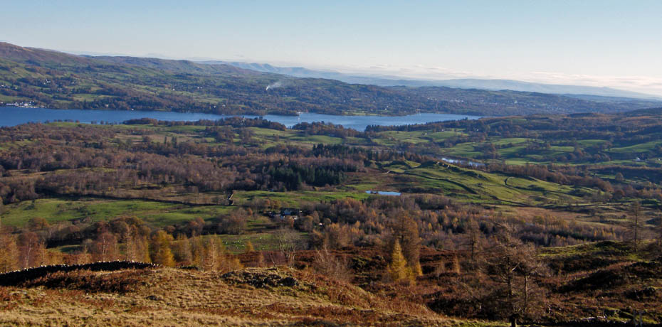
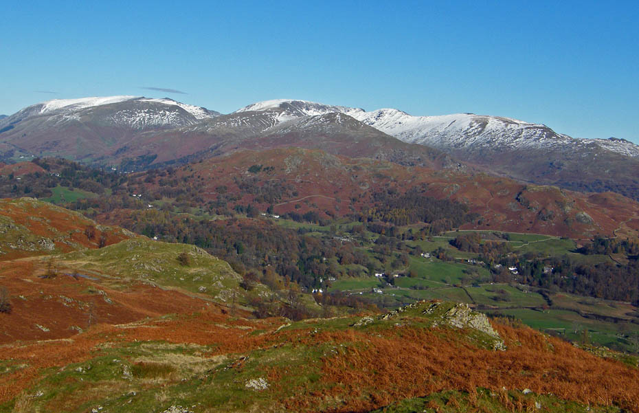
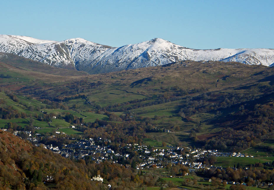
Looking over Windermere to the Howgills with Ingleborough on the far right.
Looking over Ambleside and Wansfell to the Far Eastern fells with Red Screes on the left.
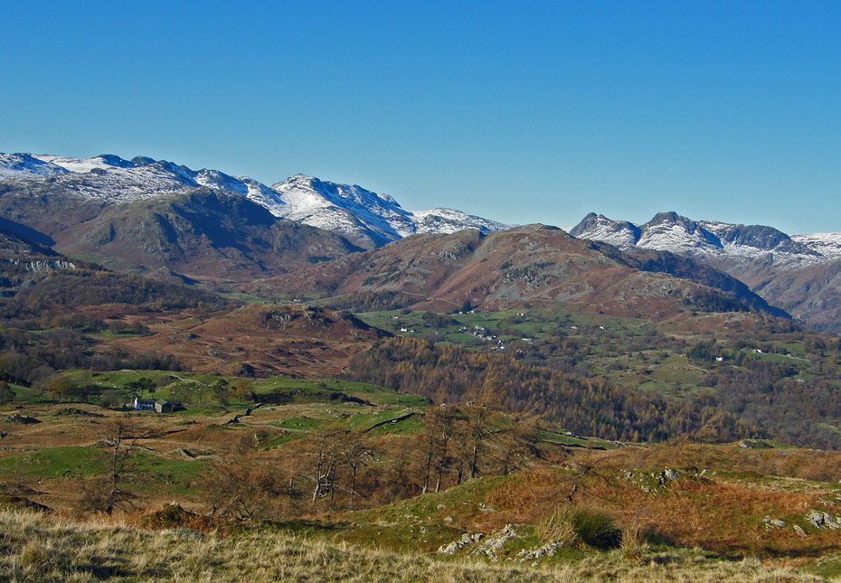
The Fairfield Fells and Red Screes.
From the SE Cairn I made my way up to the summit of Black Crag. There was a young family enjoying a break there so I decided to go over the wall and follow the ridge N'wards a while.
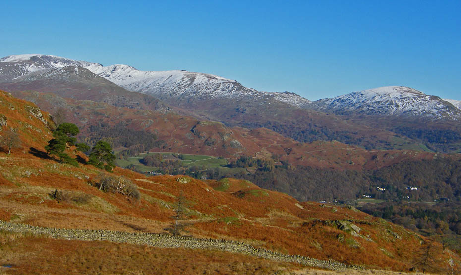
The fells of Great & Little Langdale.
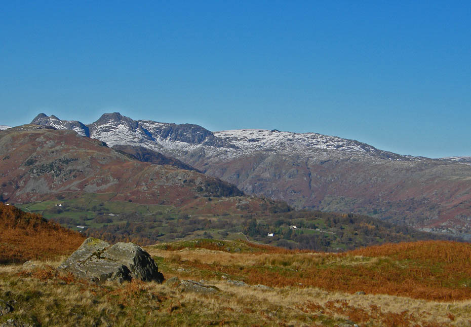
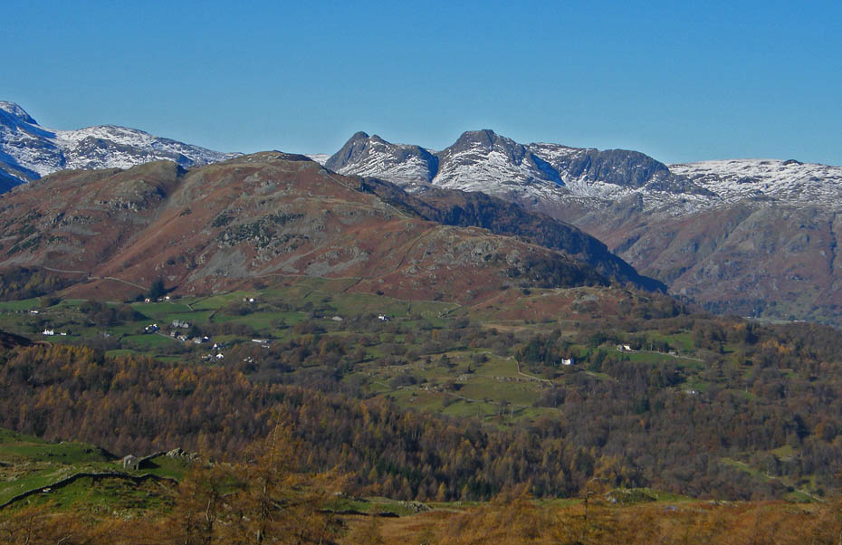
A close up of Pike O'Blisco , Crinkle Crags and Bowfell.
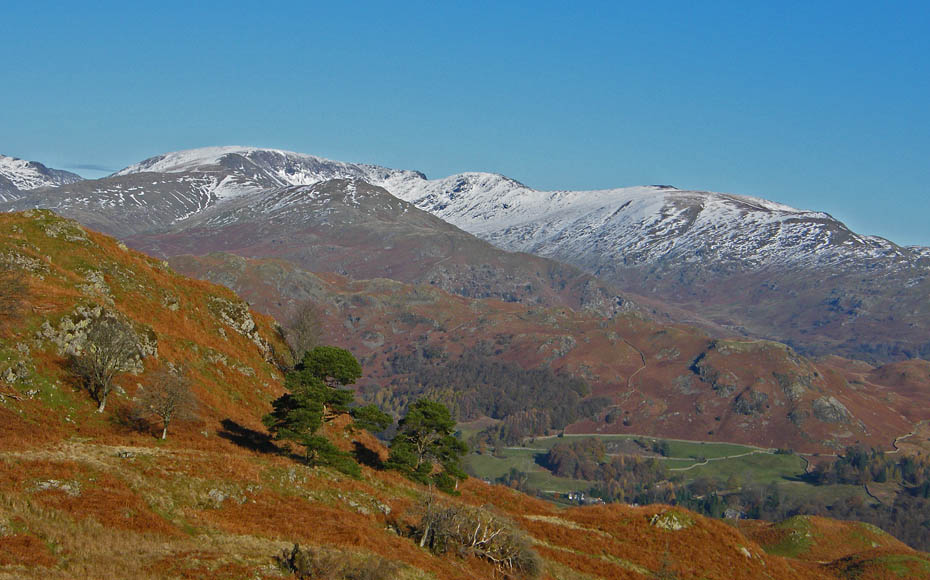
The Langdale Pikes over Lingmoor.
Helvellyn and Fairfield fells.
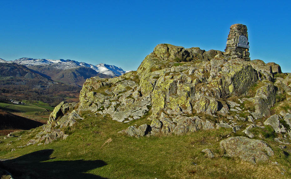
Black Crag summit Trig Point.
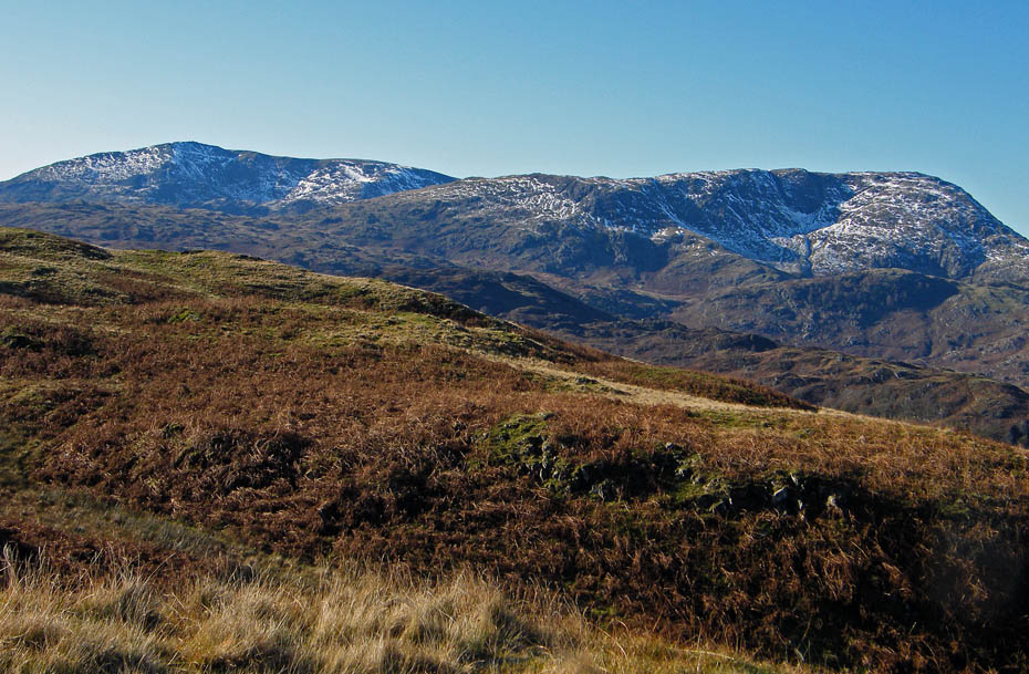
The Conistons as I returned along the main path.
A last look back before I made my way back down through Iron Keld to the bridleway.
At the bridleway I turned right to walk down to pick up the path to Tarn Hows.
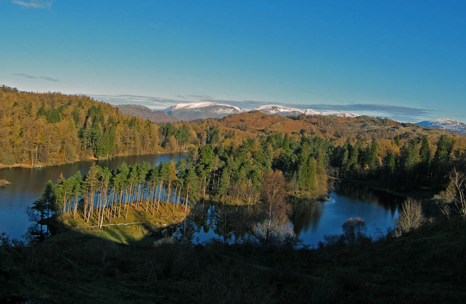
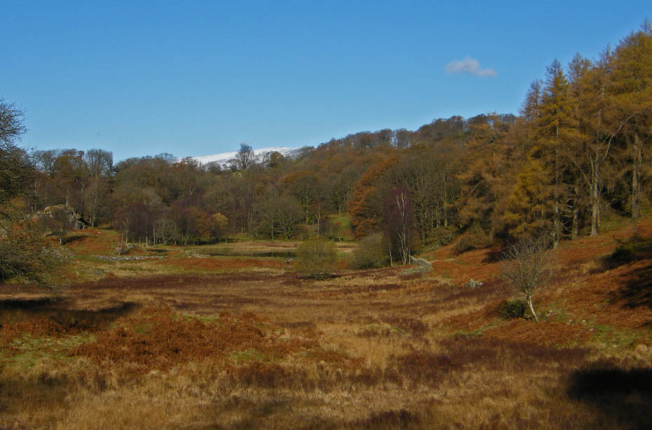
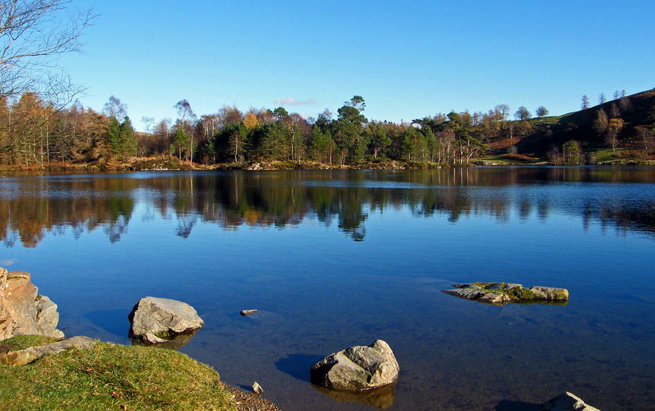
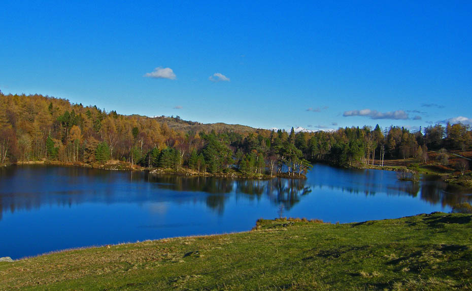
A few reflections in the Tarns at the quiet northern end.
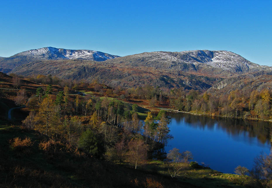
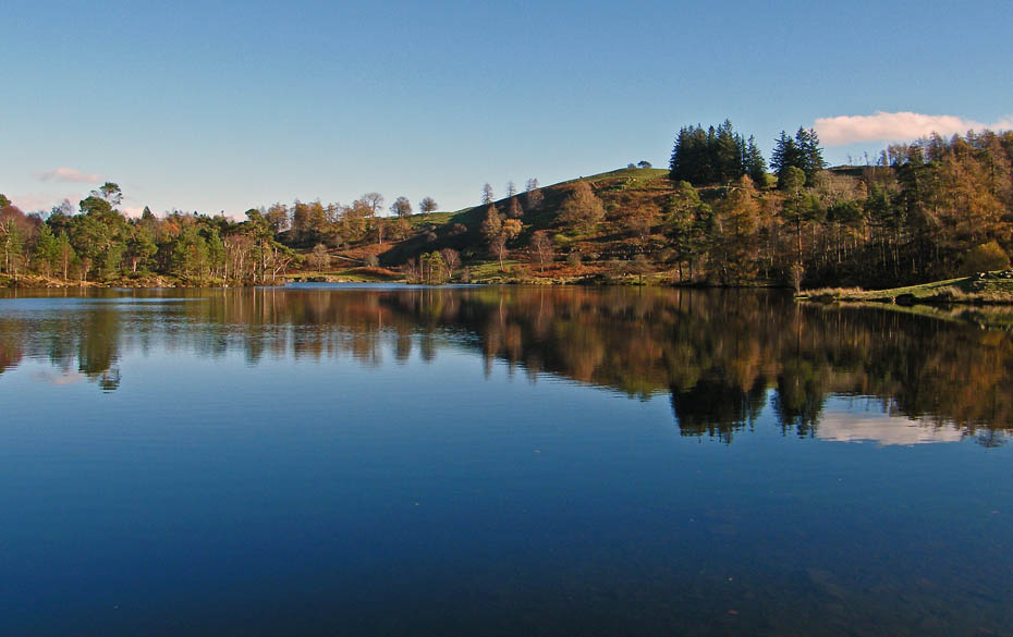
It is no surprise that Tarn Hows is one of the Lake Districts most popular spots.
Hope you've enjoyed viewing as much as I did taking them.
Next Walk: 13th November 2010 - NW Lancs - Along the Lancashire Coastal Way at Glasson.
Last Walk: 9th November 2010 - Lake District - A walk above the Troutbeck Valley
Do you have a Facebook or Twitter account. We post regular updates on both. Just click on either of the links below.
![]()

We hope you have enjoyed viewing this walk. If you have any comments please sign our Guestbook or E_Mail us.
