
| Area: | Lake District | Ascent: | 300 feet |
| Walk No: | 480 | Time: | 1hour 40minutes |
| Date: | 11th January 2011 | Parking: | Top of the Kendal - Underbarrow Road. |
| Distance: | 3.00 miles | Weather: | Fine and Sunny. |
| Route: |
For those of you that are thinking of going onto the hills I would strongly recommend that you read the advice given by the Mountain Rescue organisation of England and Wales. To read this advice, which will open in a new page please click HERE. If you would like to make a donation to the Mountain Rescue organisation which is purely voluntary please click HERE. Please make the time to read the advice page.
After a miserable couple of weeks in which we barely left the house we awoke to a quite bright day. Edith was feeling a lot better after her recent spells of bronchitis and was visiting her brother for the day so I was left by myself. I wanted a trip out but with the temperature still hovering around the 5°C mark didn't want to go too far. Another consideration now is the price of petrol which seems to be in an upward spiral. Anyways, I decided to have a run out to Silverdale and Arnside for a couple of short strolls however things didn't quite work out there and I ended up doing this short walk along the scar. The first few pictures are from Arnside and Silverdale, the walk itself starts with the route map.
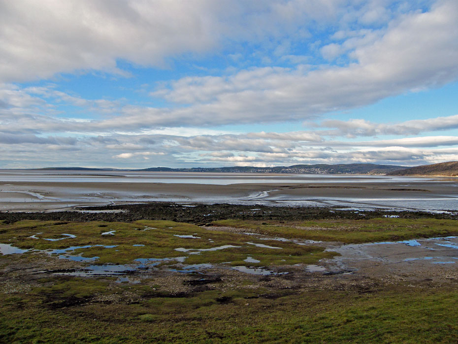
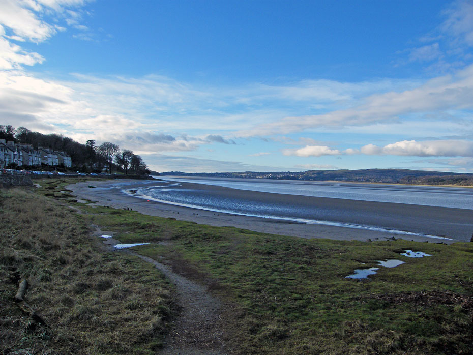
My first stop was at Silverdale where having left the car in the village I walked down to the shore for a couple of pictures. Unfortunately it was still quite cloudy at this point and with the low winter sun the shoreline was still in shadow. Here I am looking across to Grange over Sands and Hampsfell with another Outlying Fell of Lakeland, Humphrey Head on the far left.
There is car parking here below the old fisherman's cottages but it is tidal so if you are going for a walk check the tides.
Back in the car and just a short drive to Arnside with a brief stop for this shot of Ingleborough...
.....and of Farleton Knott.
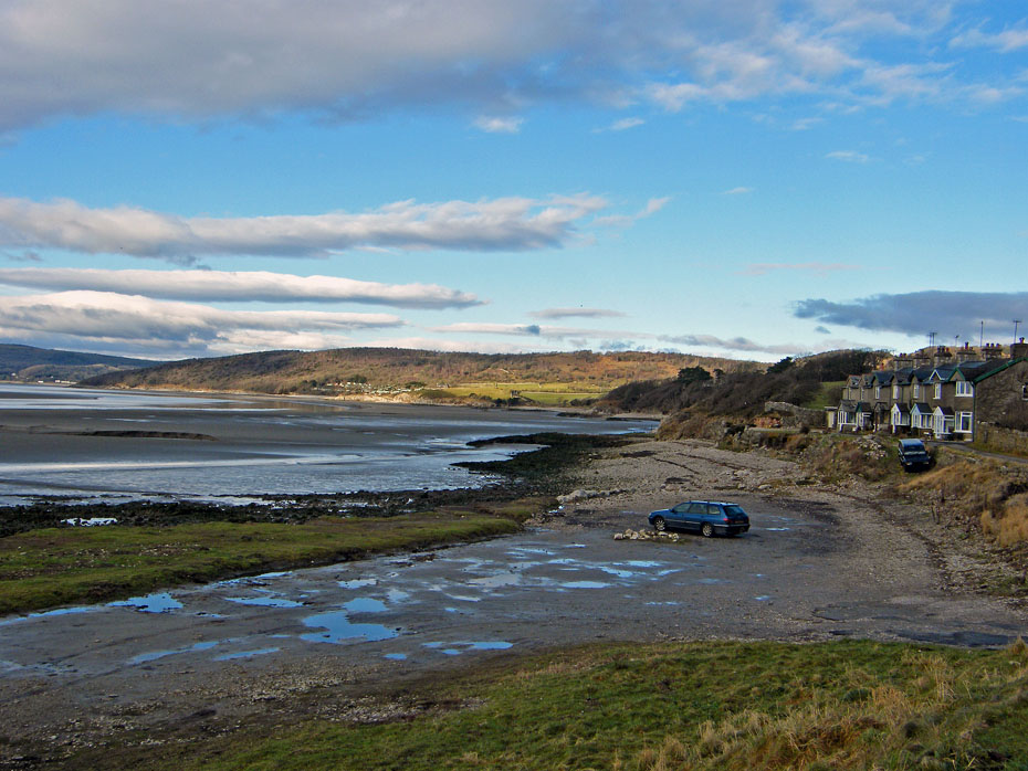
On arrival in Arnside I decided to park up at one end of the promenade and walk back to the other to visit the toilets. This is a common event for yours truly nowadays as the tablets I take to clear fluid from around my lungs as to go somewhere.
Looking down the estuary from the pier into the sun.
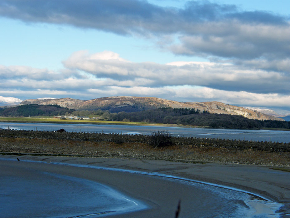
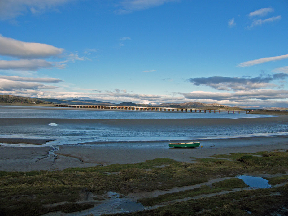
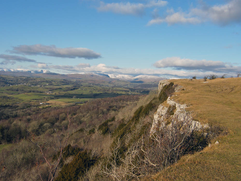
Disaster!!!!.....the toilets are closed!!.....Not sure why and really don't care, back hurriedly to the car.....That's Whitbarrow over the railway line by the way.
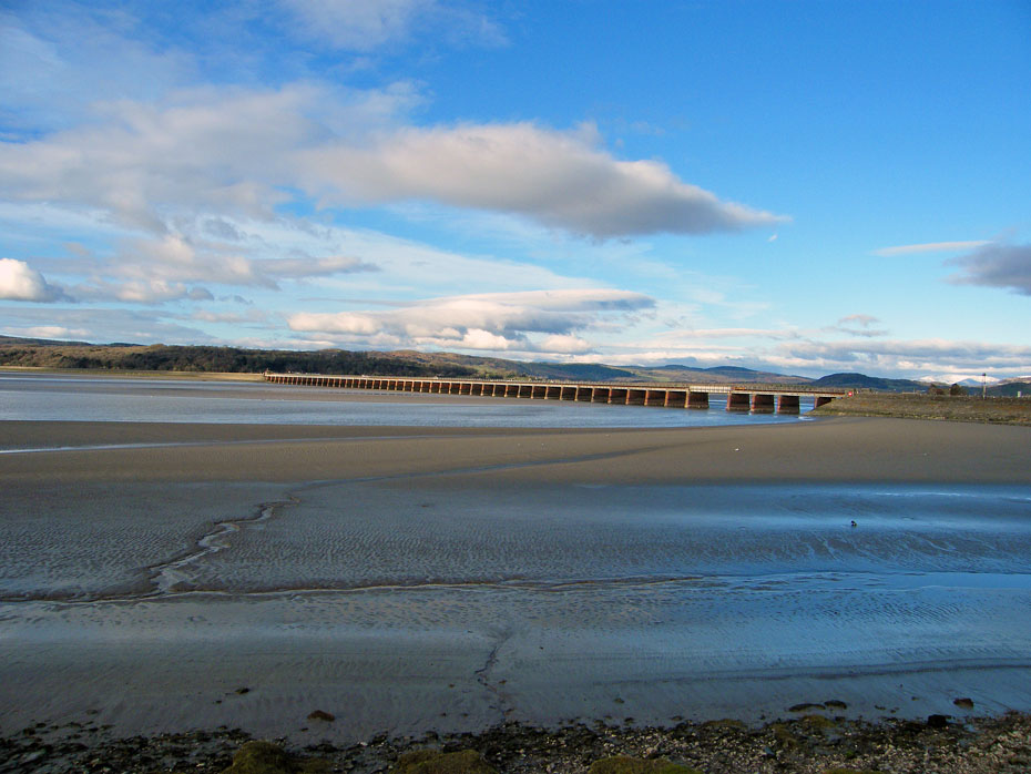
The Railway viaduct.
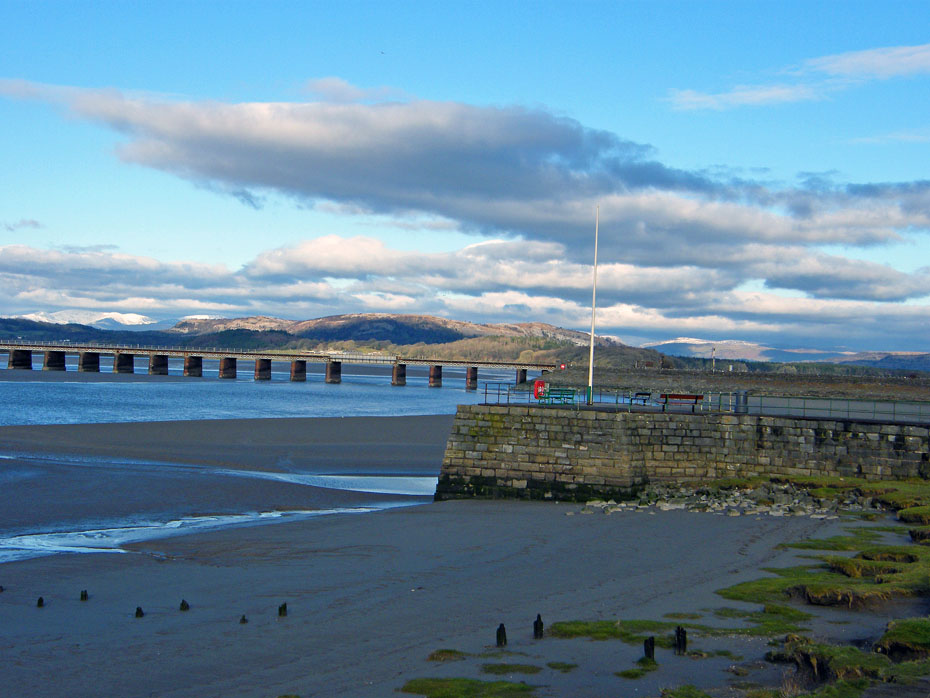
Even in times of personal distress my thoughts are with you dear reader as I stand cross-legged for this picture of the pier and Whitbarrow.
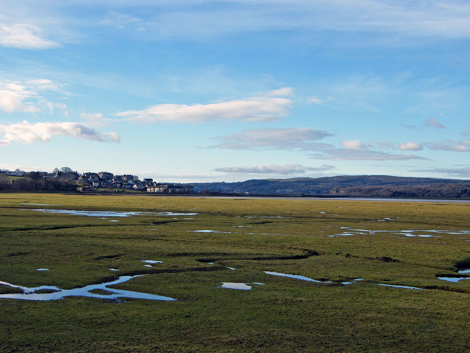
Back into the car and heading towards Sandside. There is a small car park on the left near the old railway line. It is only for the disabled but finding it empty I park there and make my way onto the shoreline.....nobody in sight.....job done.
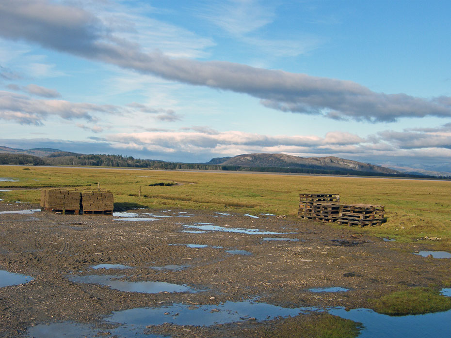
There as been some turf cutting going on.
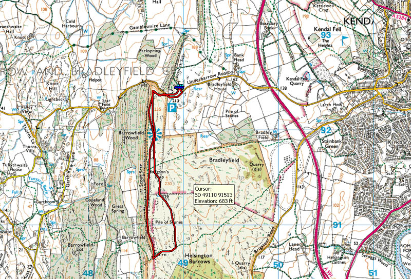
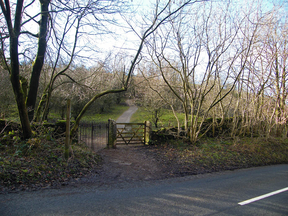
Route Map....There are two car parking areas at the top of the road. The first is near the service road to the repeater station, the second an old quarry about 80 yards on.
As I was driving here the weatherman on Radio Cumbria had been saying that it would brighten further as the day progressed so I was hopeful of some decent views.
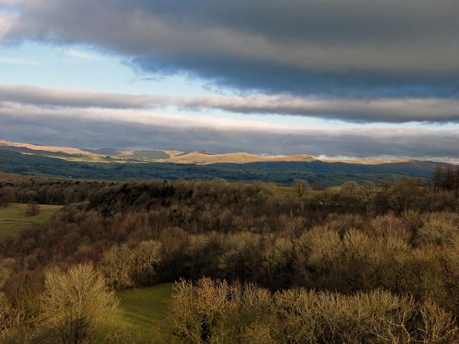
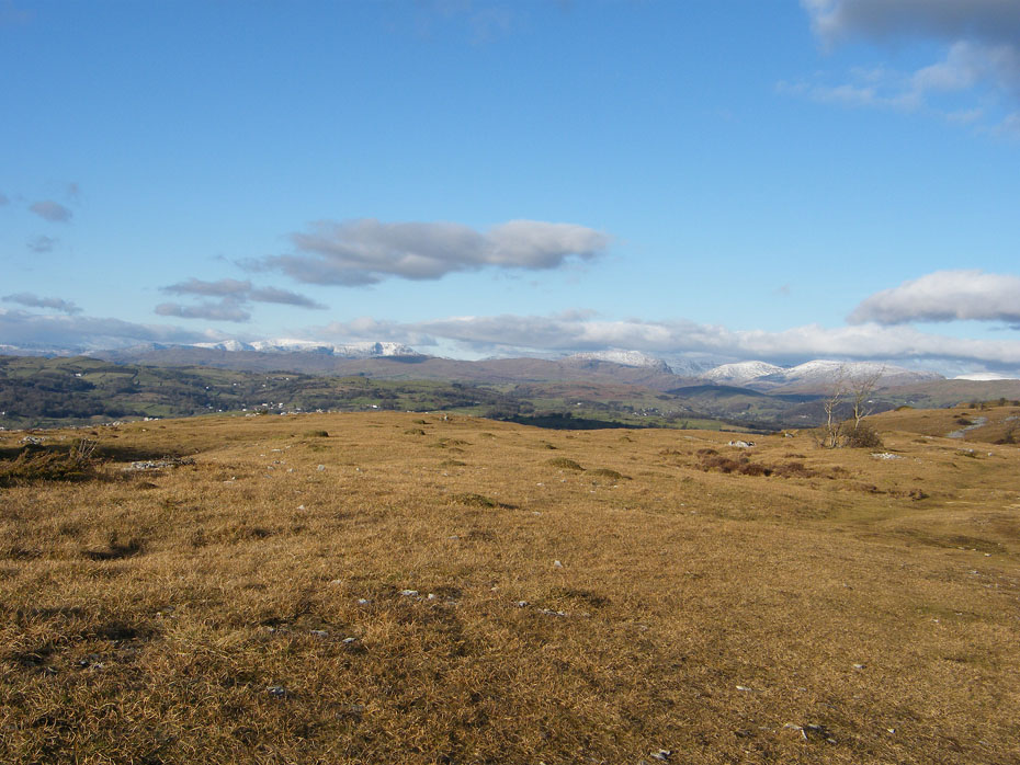
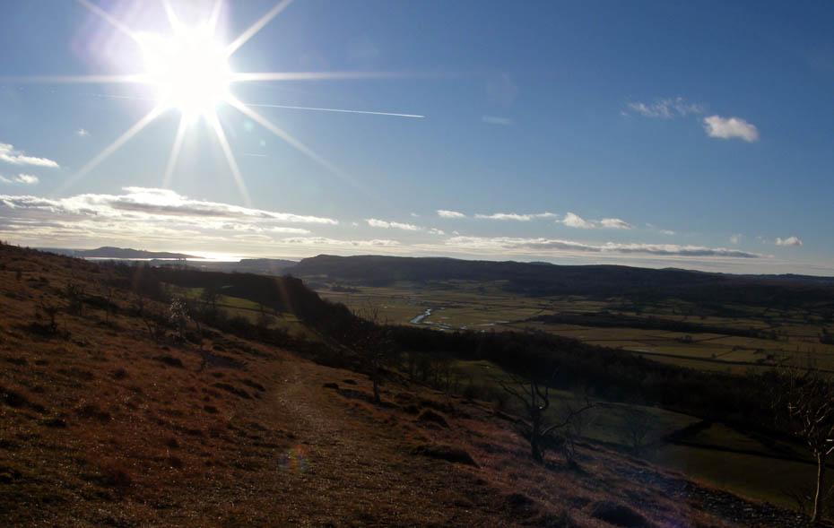
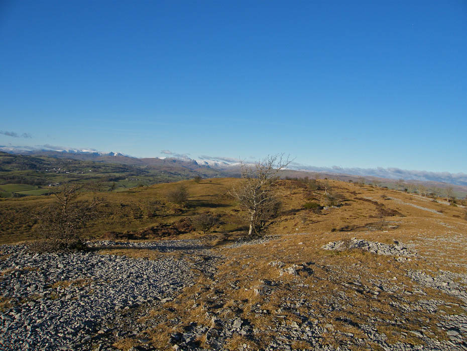
Sunshine and shadows as I make my way up onto the scar with the Whinfell Ridge catching the sun.
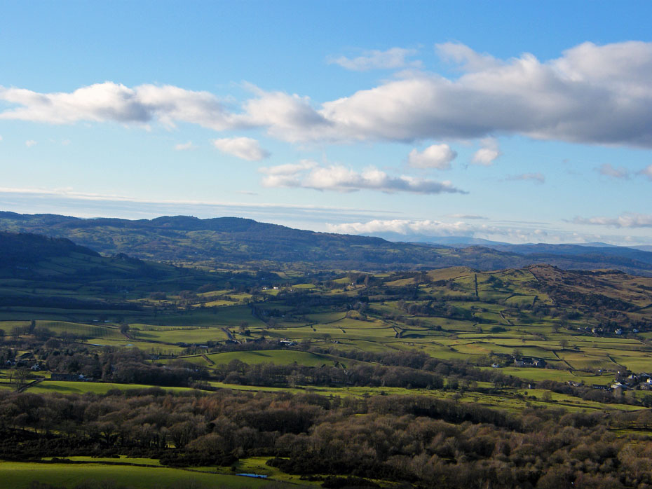
Looking over Cunswick Fell towards Potter Fell.
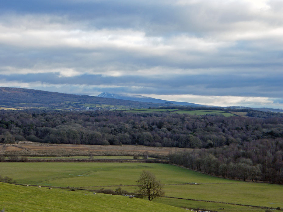
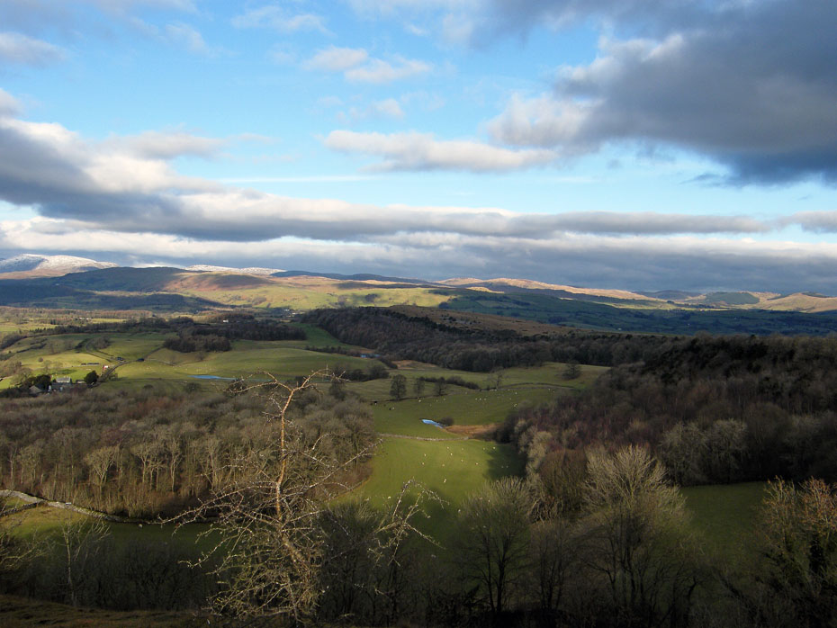
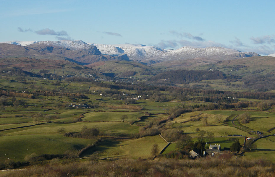
Looking towards Kentmere, one of my favourite views.
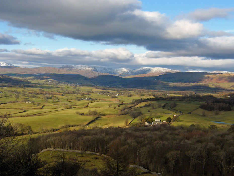
A cloud-topped distant Black Combe as I make my way towards the summit shelter.
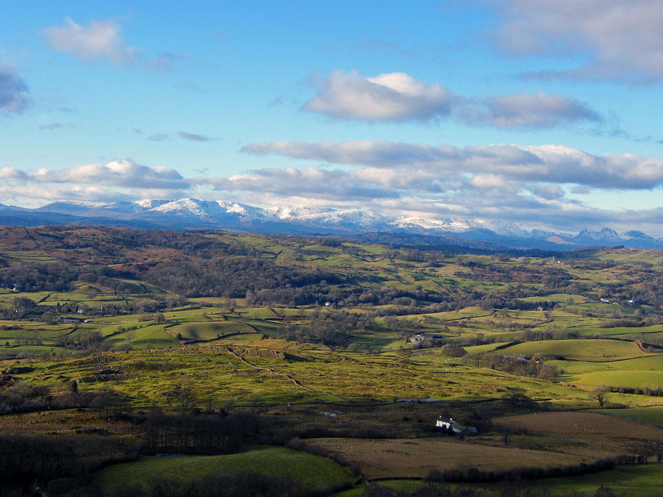
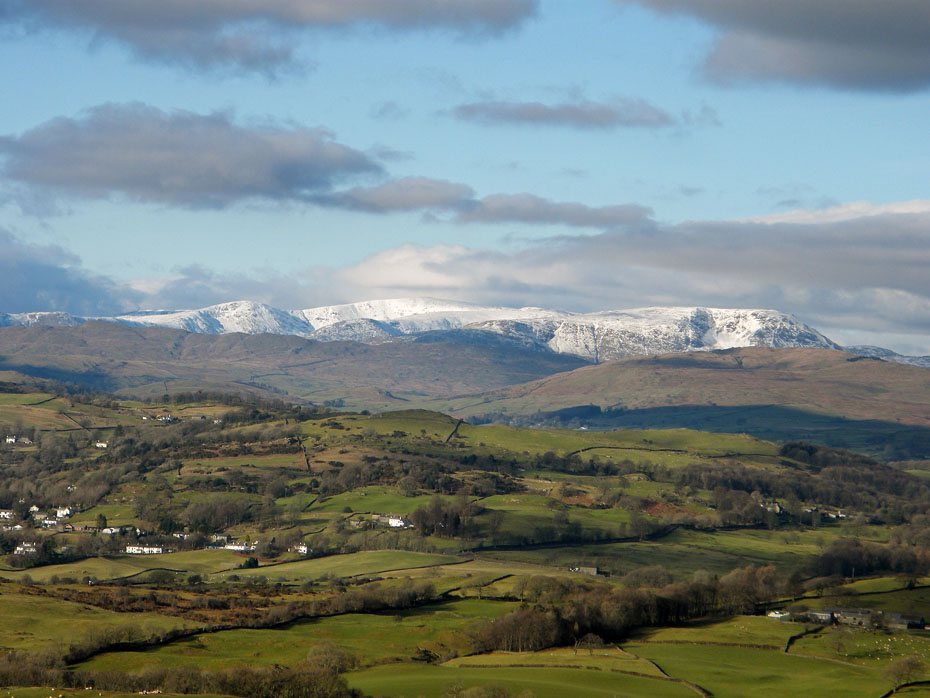
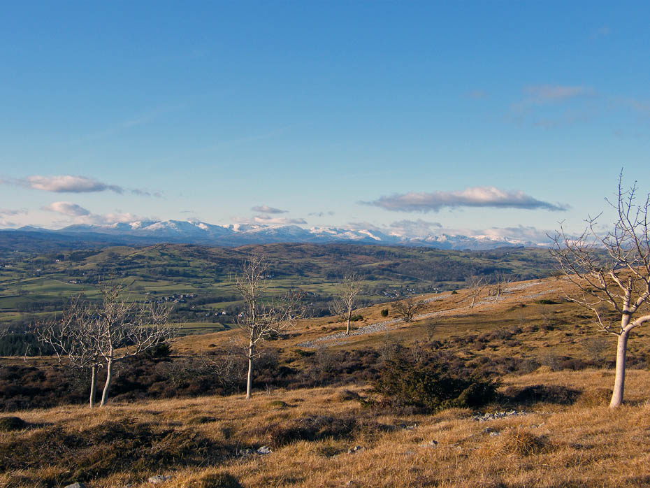
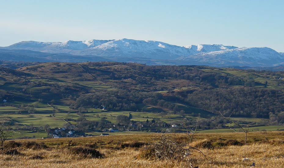
Looking over to the Coniston and Langdale fells.
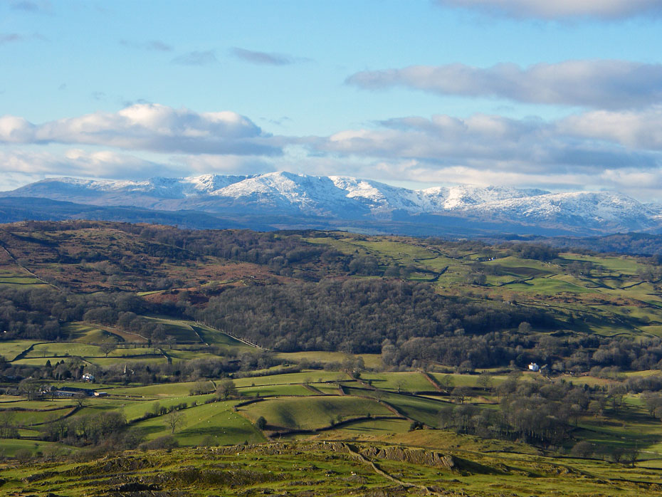
Coniston close-up.
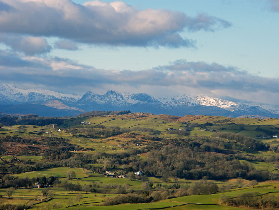
The Langdale Pikes.
Fairfield and Red Screes
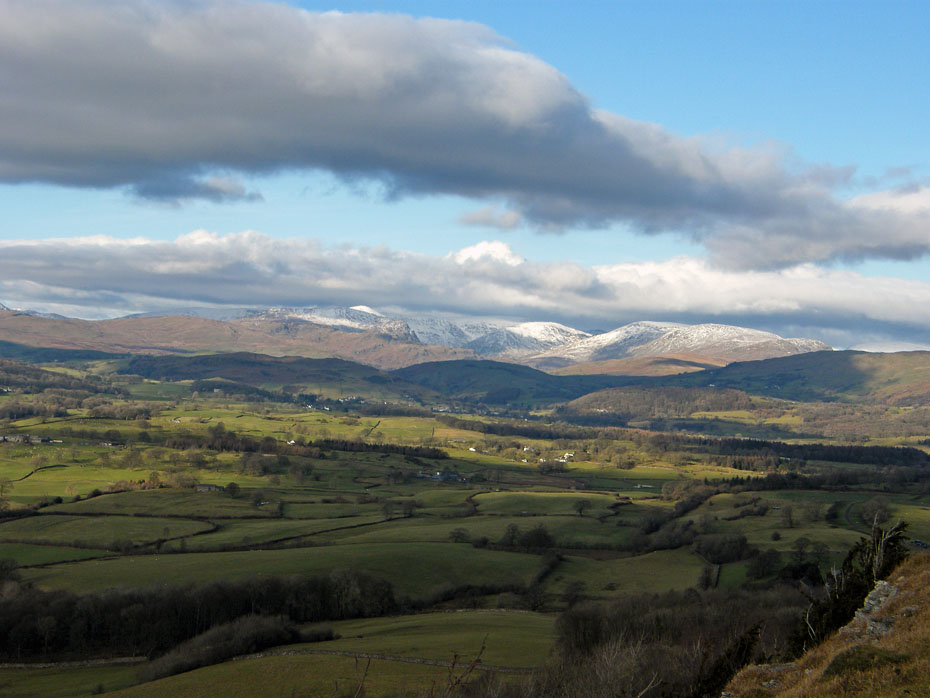
Kentmere

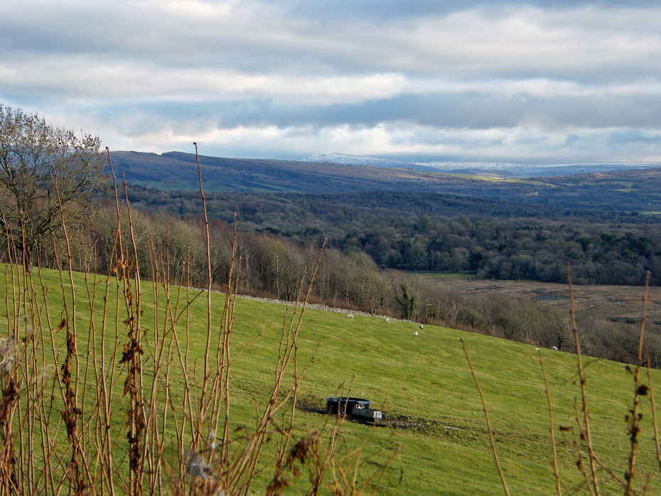
Looking over Benson Knott to the Howgills.
A look back to the mushroom like summit shelter.
It's no place for hyperactive dogs or unruly children.....it's a good drop down!
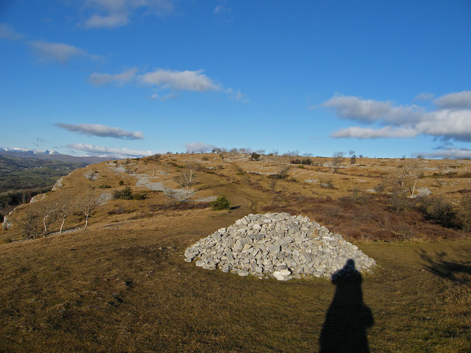
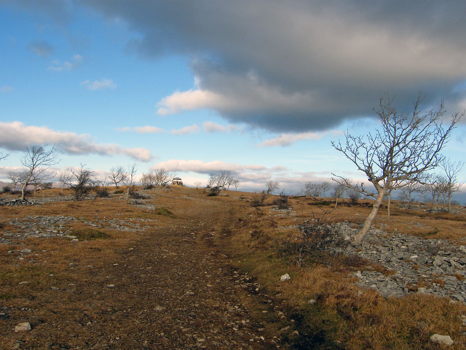
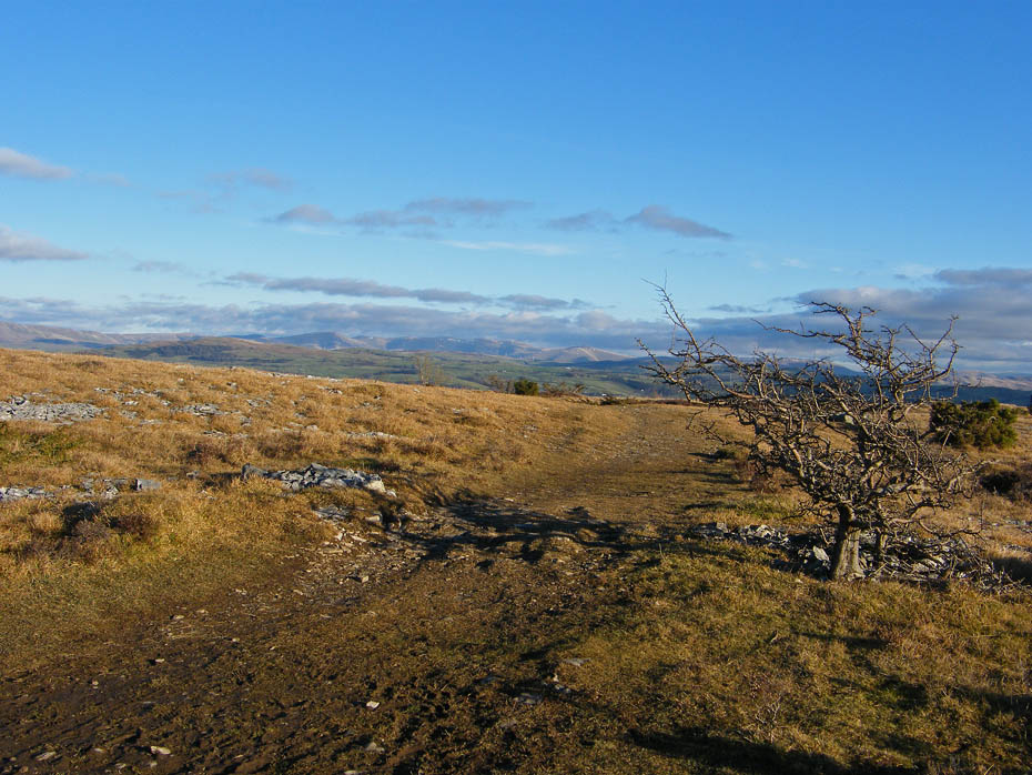
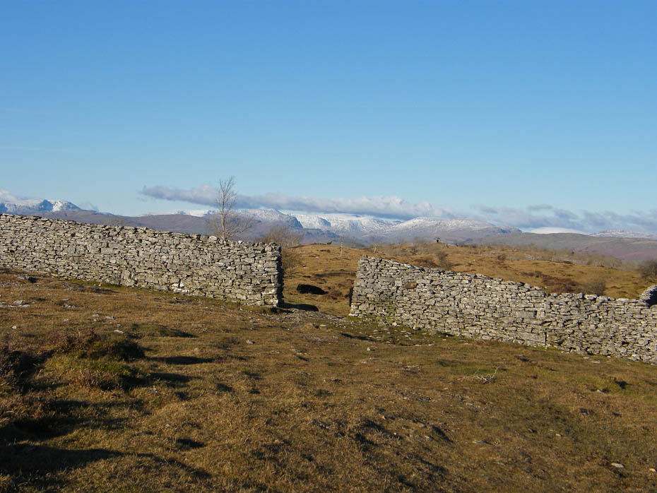
This cairn which marks the path from Bradleyfield to Barrowfield was as far as I went. From here I took the Bradleyfield path towards to ridge.
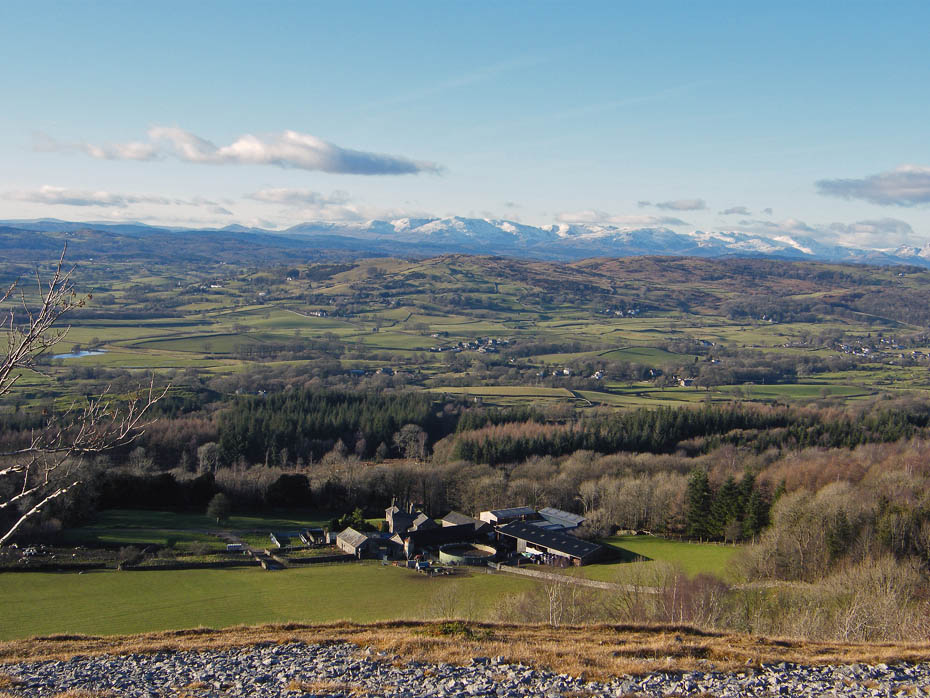
Looking down on the farm at Barrowfield.
And southwards to Arnside Knott on the left.
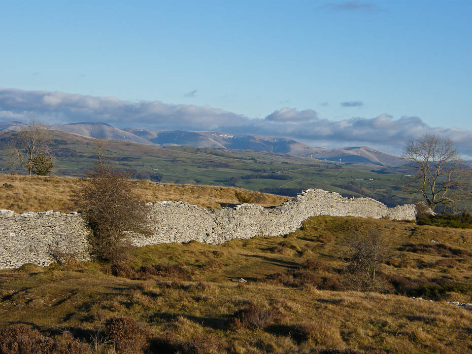
At the top of the Bradleyfield path I took a path to the left along the ridge.....
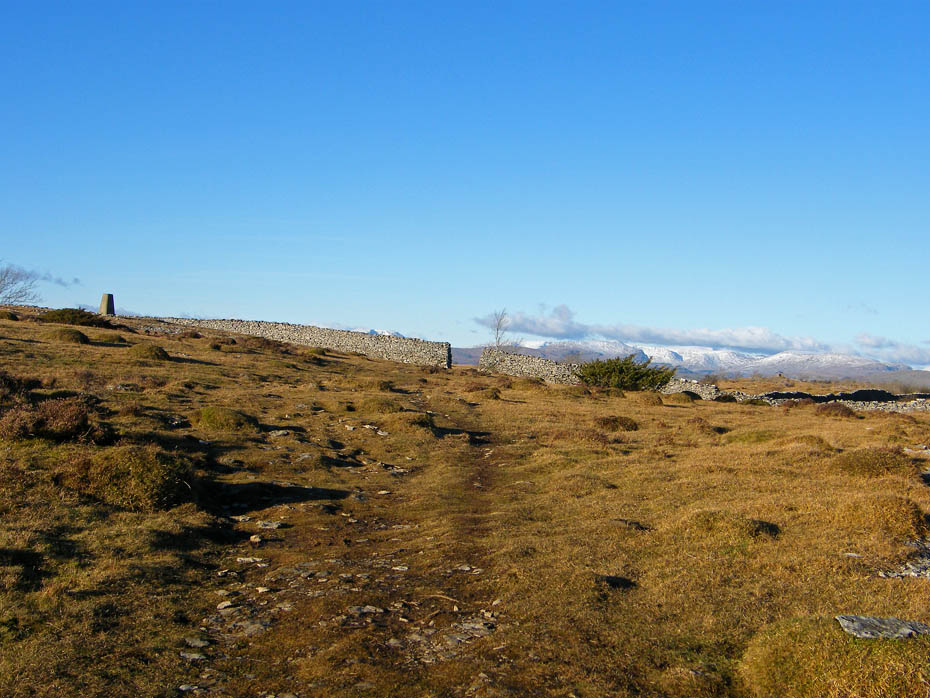
....which would take me to the trig point on the summit.
Humpy Howgills.
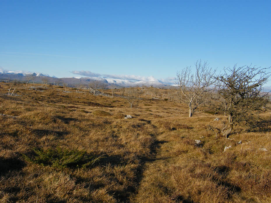
The walk back wasn't as pleasant as the outward leg. The cool N'ly breeze was just getting to my breathing a little. Nevertheless the views were magnificent.
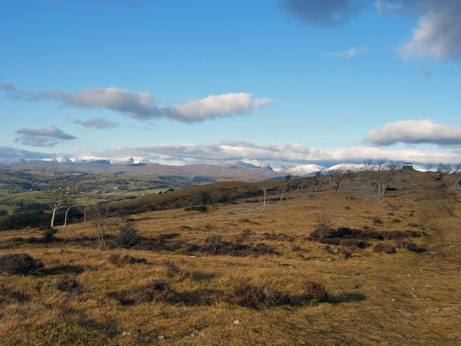
The Coniston fells as I approach the shelter.
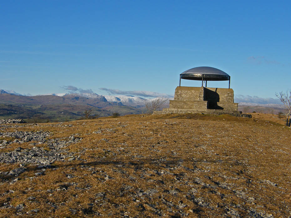
Scout Scar shelter.....a wonderful viewpoint.
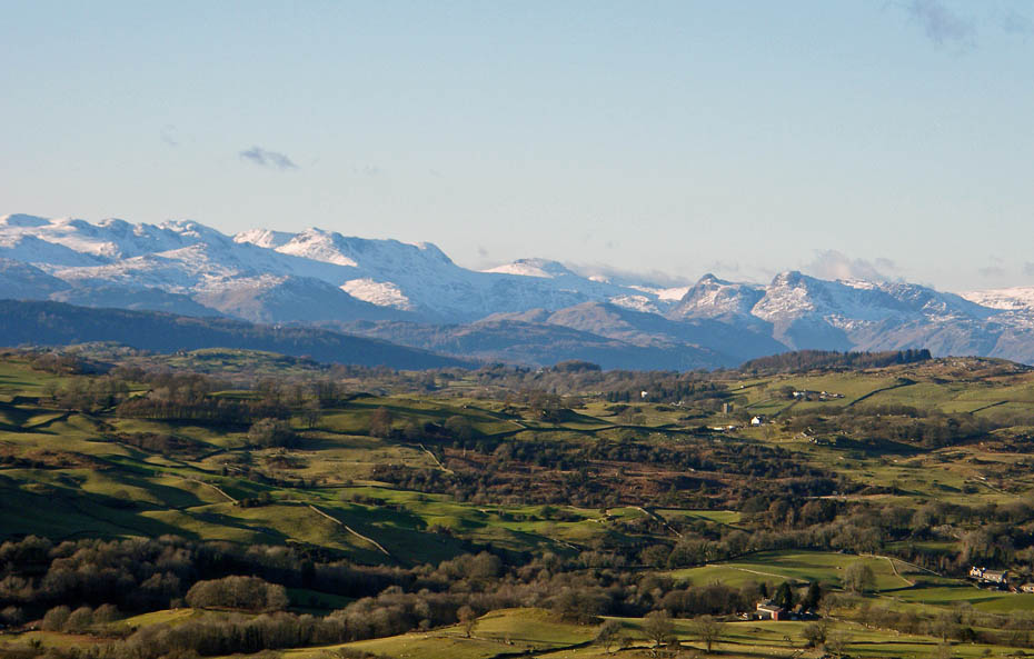
The Langdale fells.
Just a short way back to the car.
Even after this short walk I am feeling tired now but this as made it all worthwhile.
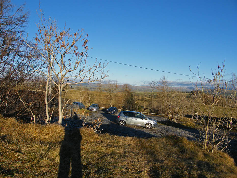
Back to the car park.
Summary.....A pleasant and easy walk at any time of the year. Can be done by itself or coupled with its partner Cunswick Fell. The route from the top of the Underbarrow Road is the easiest approach but there are other routes from Bradley Field and from Helsington Church which are splendid routes. All can be found in the "All our Walks" section of the website.
Next Walk: 17th January 2011 - South Cumbria - Arnside Knott
Last Walk: 2nd January 2010 - N. Lancashire - Along the River Lune at Caton.
Do you have a Facebook or Twitter account. We post regular updates on both. Just click on either of the links below.
![]()

We hope you have enjoyed viewing this walk. If you have any comments please sign our Guestbook or E_Mail us.
