
| Area: | North Lancashire | Ascent: | 120feet |
| Walk No: | 482 | Time: | 1hour 30minutes |
| Date: | 18th January 2011 | Parking: | Conder Green picnic site. |
| Distance: | 3.25miles | Weather: | Fine with a mixture of sun and cloud. |
| Route: |
For those of you that are thinking of going onto the hills I would strongly recommend that you read the advice given by the Mountain Rescue organisation of England and Wales. To read this advice, which will open in a new page please click HERE. If you would like to make a donation to the Mountain Rescue organisation which is purely voluntary please click HERE. Please make the time to read the advice page.
Another day, another appointment, it seems like our lives revolve around hospital, clinic or doctors appointments nowadays. Today I was due at the Royal Lancaster Infirmary at 11:20am for a Full Lung Function Test to see how the condition of my lungs are progressing. This involves being connected to a "Sucky and Blowy" machine (a non-technical term) which monitors the lungs as various tests are performed. After getting out of the hospital around 12:30pm we made the short journey to the Conder Green picnic site from where we did this short to and around Glasson.
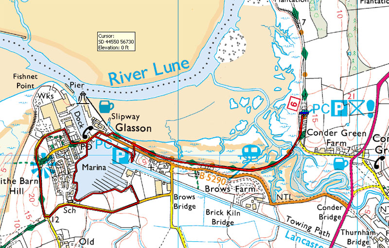
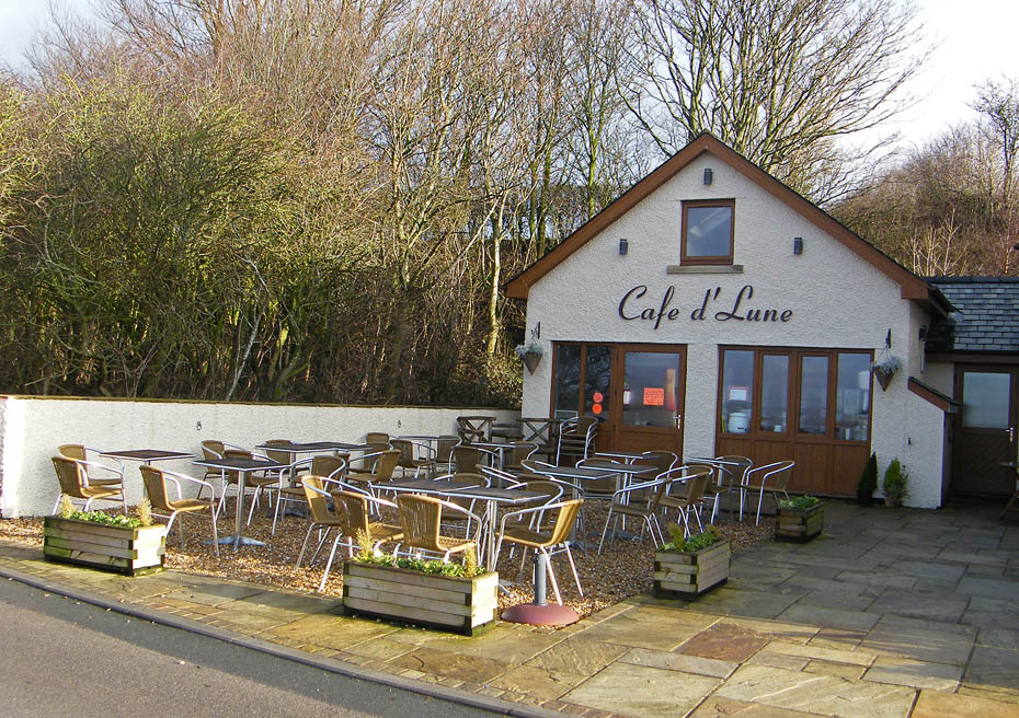
I had hoped to visit the cafe at the picnic site but unfortunately it was closed. However it's only a short walk along the track of the old railway line to Glasson.
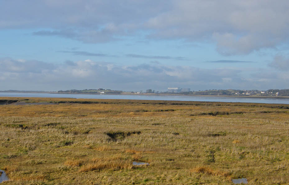
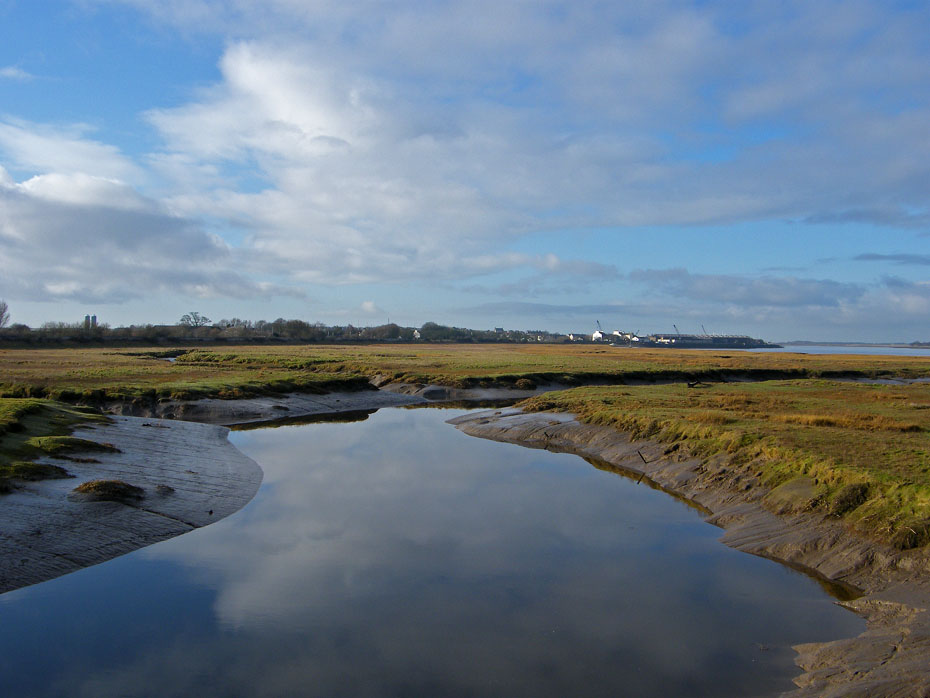
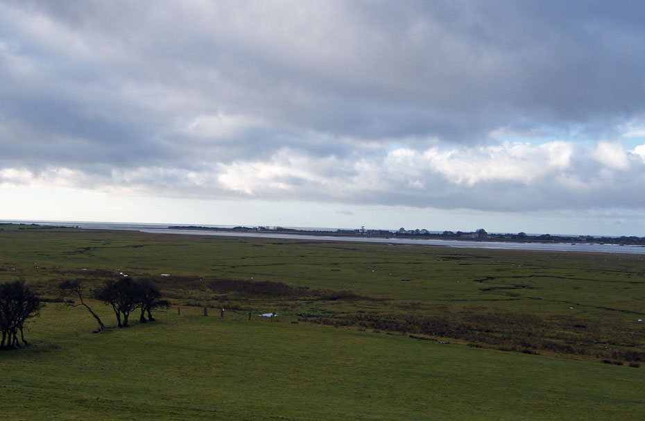
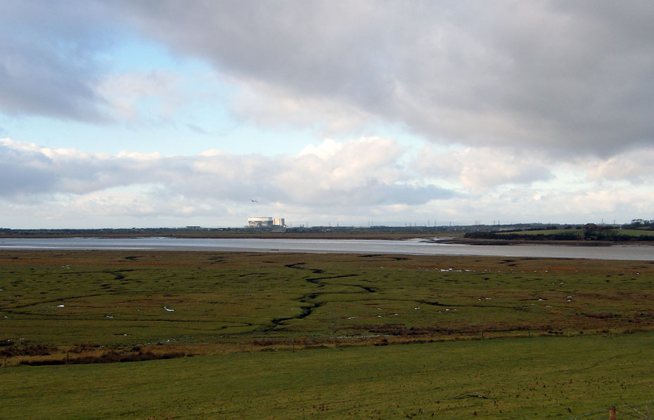
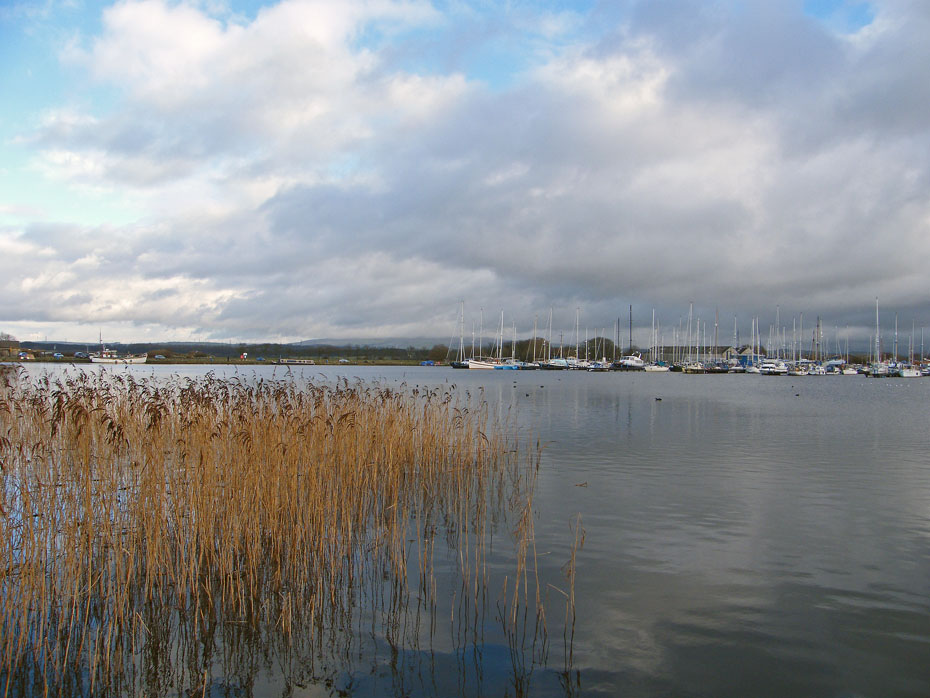
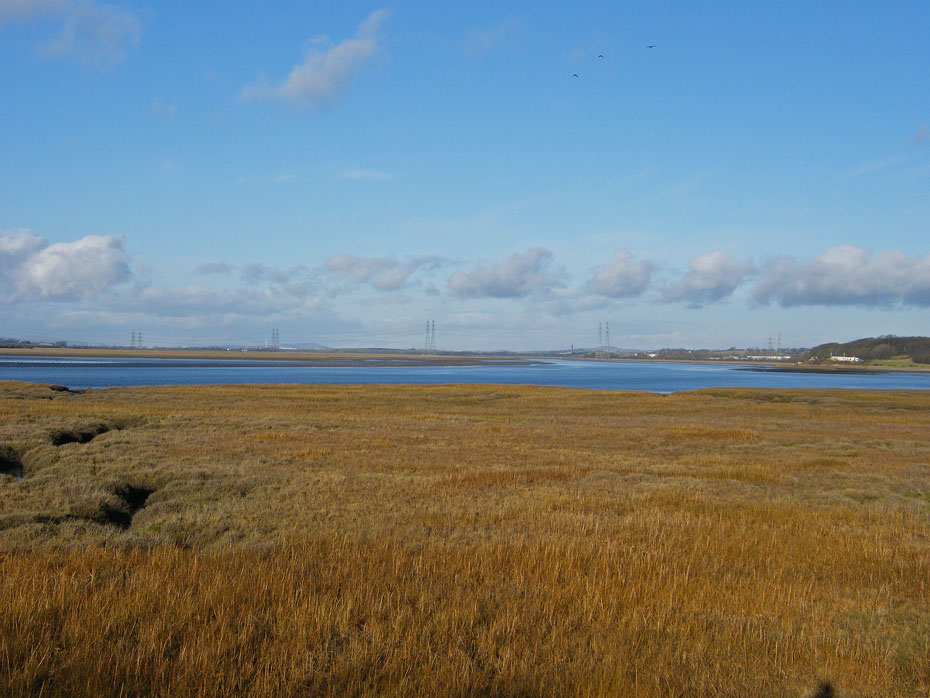
A look across the marsh and River Lune towards Overton and the power stations at Heysham. The little "bump" to the left of the power stations is known as the "Hall Greave". At the princely height of 95' it bears a triangulation point and back in 1962 was the first summit we walked to together when I was home on leave from the Merchant Navy.
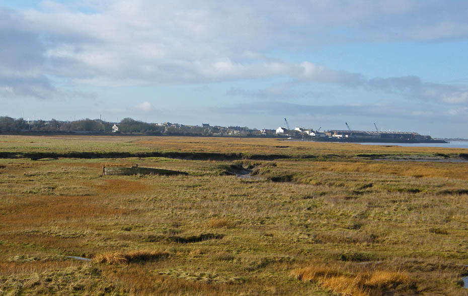
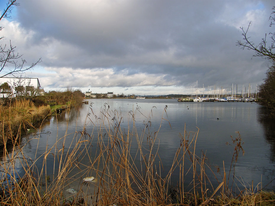
Our path along the old railway line would take us round to the left of this picture and then swing right towards Glasson.
Taken from the old railway bridge this is the River Conder.
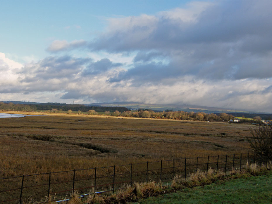
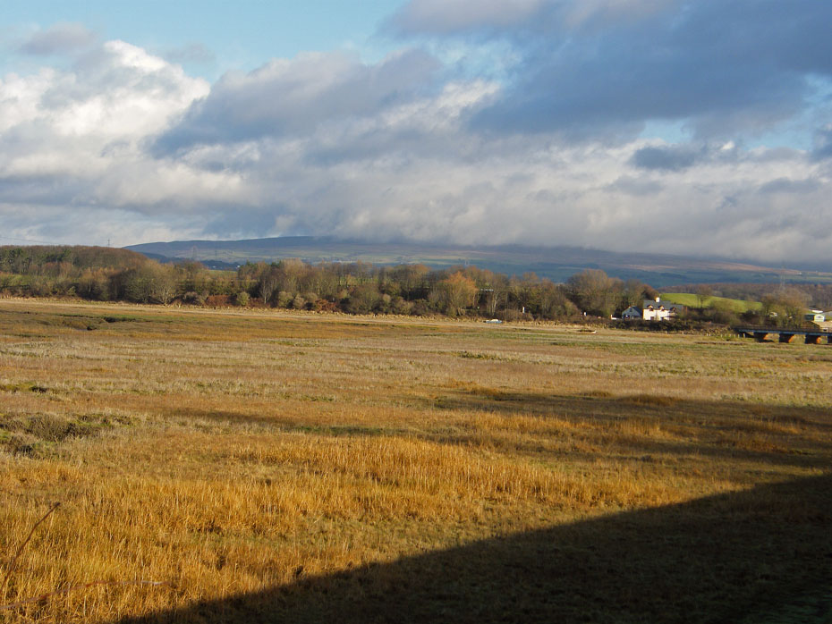
A look the other way to where the hills of Bowland should be.
A look back to our starting point and Clougha Pike is barely visible.
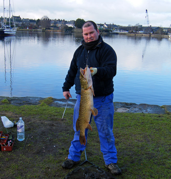
As we walked towards the dock I noticed a couple of guys fishing and one obviously was reeling in a fish. We left the track and walked over to the freshwater marina to see them. This guy, who was not the one who caught the fish posed for this shot. The fish, a Pike weighed in at dead on 10lbs and they told us that fish up to double that weight had been caught here. This was their 4th fish of the day.
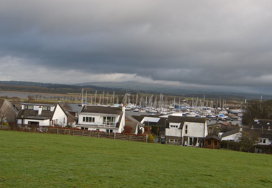
A look across the marina partly into the sun.
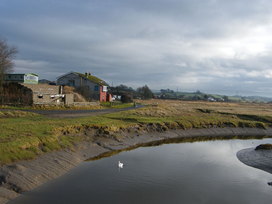
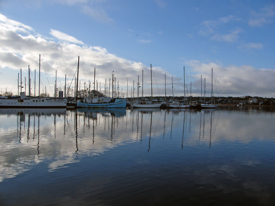
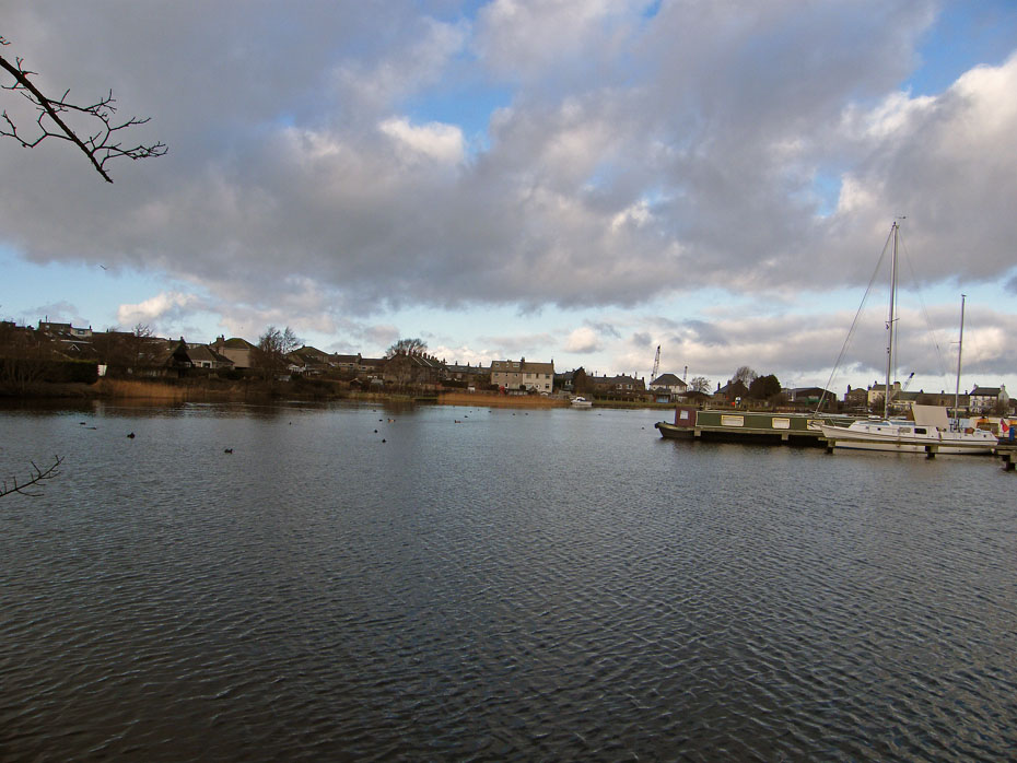
The salt-water dock at Glasson with the gates at the far end. These are only opened for an hour each side of high-water into the tidal River Lune.
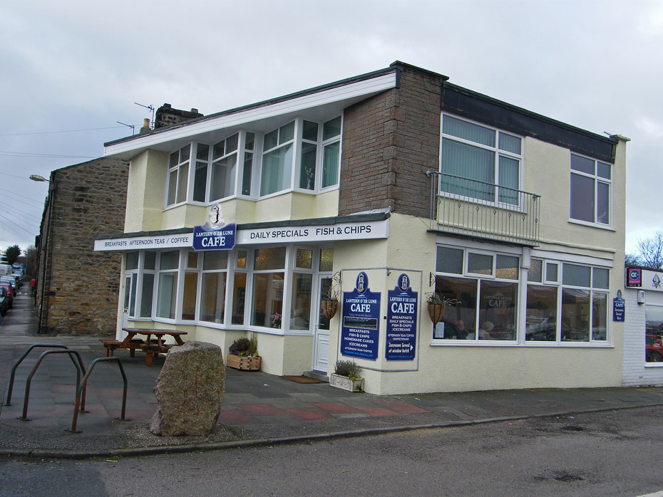
Time for a brew and a bite to eat.
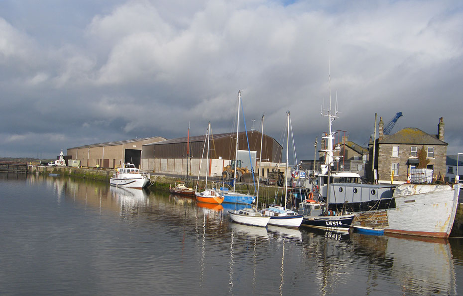
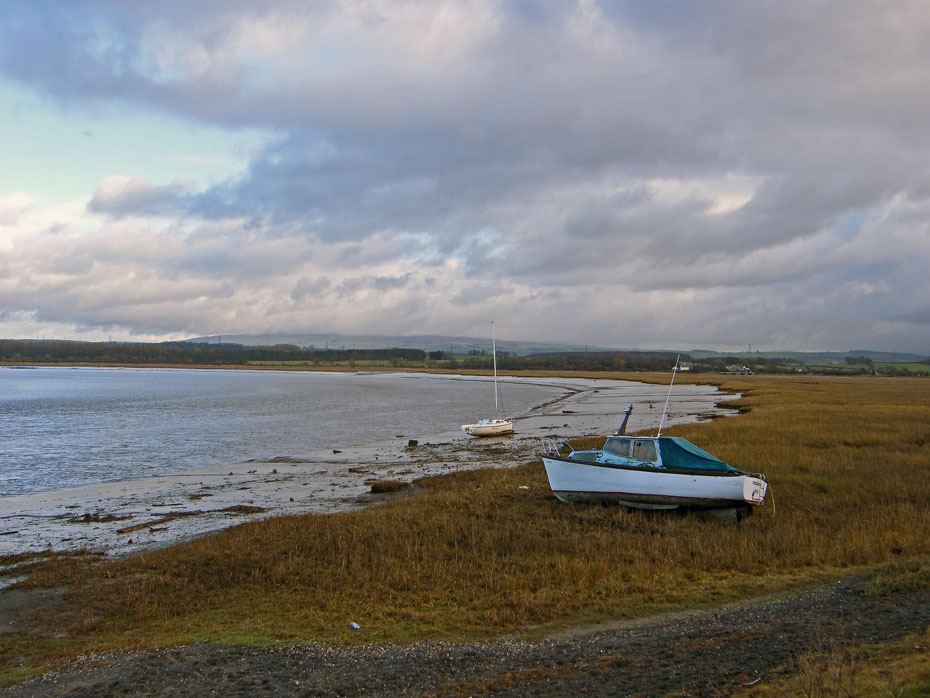
From the cafe we had a bit of road walking up to Tithe Barn Hill for a look across to Sunderland Point.
We had decided against walking along the canal towpath as it would be wet and slippy. Instead we made our way to the Marina and took a wet and slippy path around that!
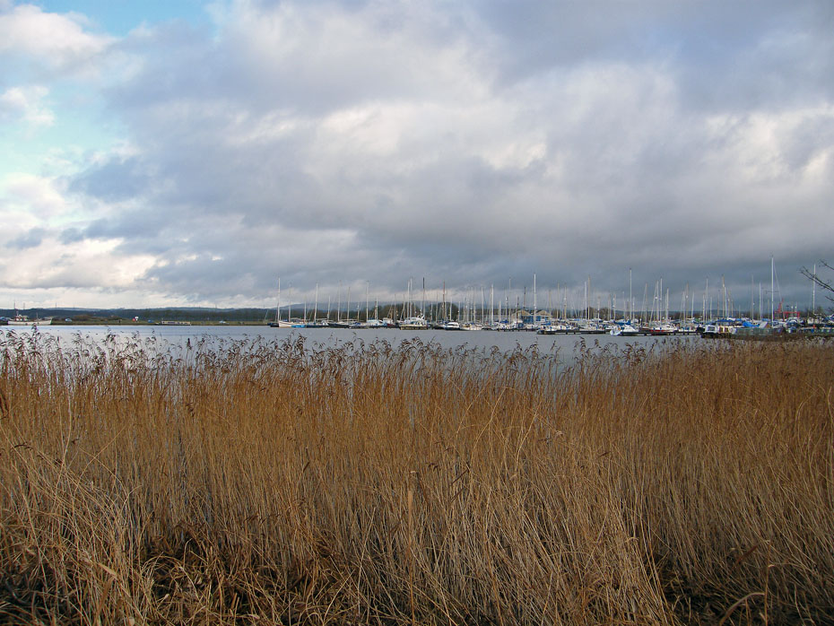
Looking across the marina.
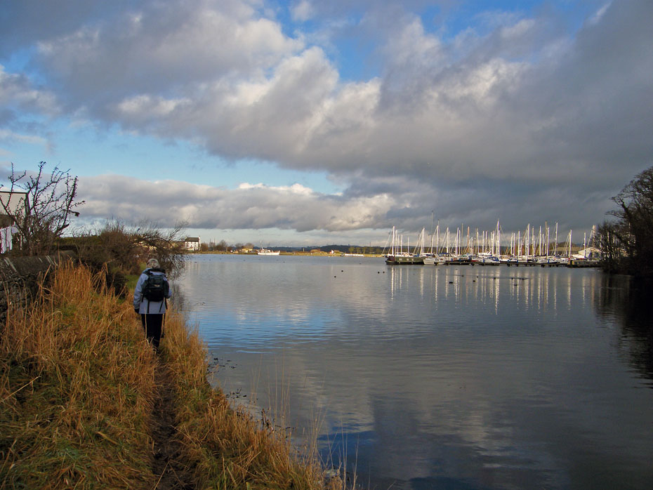
Edith leads the way along a narrow and rather muddy path around the perimeter of the marina.
A look back into the sun.
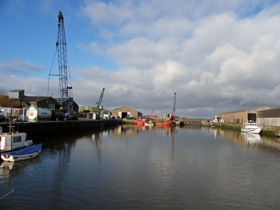
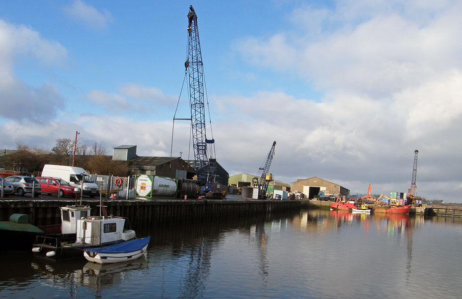
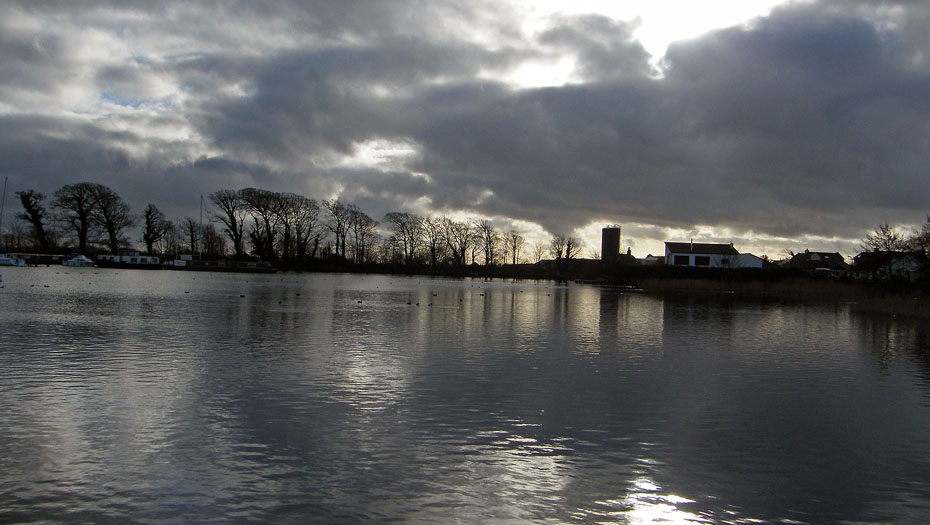
Back at the dock we took the old railway line back.
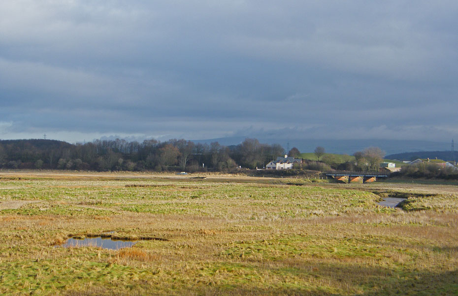
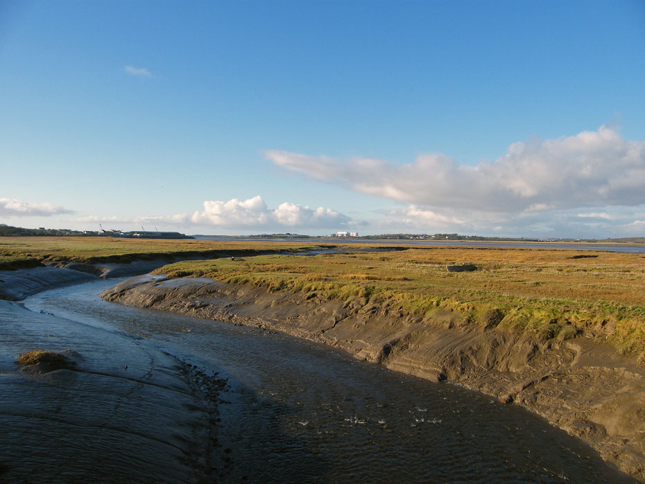
Looking up the River Lune but the distant views are absent today.
Back to the bridge over the River Conder which with the ebbing tide is lower now. As kids we used to cycle here to dig small creeper worms to be used as bait for flounders at Arnside. Used to end up as mucky as hell.
Next Walk: 18th January 2011 - South Cumbria - Dallam Park & Haverbrack
Last Walk: 17th January 2011 - South Cumbria - Arnside Knott
Do you have a FaceBook or Twitter account? We post regular updates on both plus some additional pictures. Just click on either of the links below and add us.
![]()

We hope you have enjoyed viewing this walk. If you have any comments please sign our Guestbook or E_Mail us.
