
| Area: | South Cumbria | Ascent: | 510feet |
| Walk No: | 486 | Time: | 2hours |
| Date: | 23rd January 2011 | Parking: | Grange - Cartmel Road nr Spring Bank |
| Distance: | 3.50miles | Weather: | Fine with high white cloud. Good visibility |
| Route: |
For those of you that are thinking of going onto the hills I would strongly recommend that you read the advice given by the Mountain Rescue organisation of England and Wales. To read this advice, which will open in a new page please click HERE. If you would like to make a donation to the Mountain Rescue organisation which is purely voluntary please click HERE. Please make the time to read the advice page.
After two bad nights sleep, possibly due to me venturing out when it was really too cold for my chest I only wanted to do something simple today. A peek out of the window didn't do anything to change my thinking, although a fine morning there wasn't a patch of blue in sight. Instead there was a total covering of high white cloud and it was quite dull. As we drove along the promenade however we could see that the visibility was good both across the bay and towards Ingleborough in the Yorkshire Dales. A quick decision was made and we headed for Grange over Sands for this short walk.
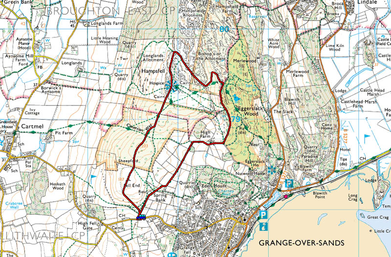
Route Map
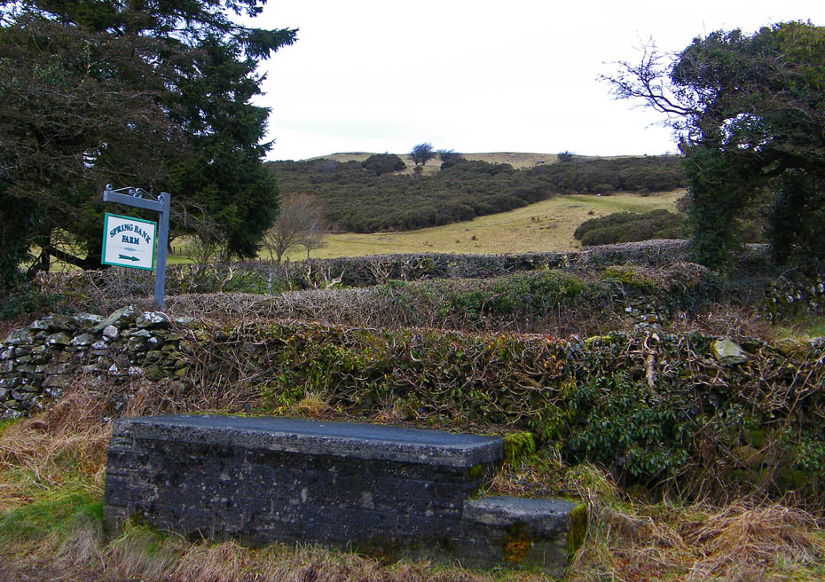
We parked the car near the lane Spring Bank.
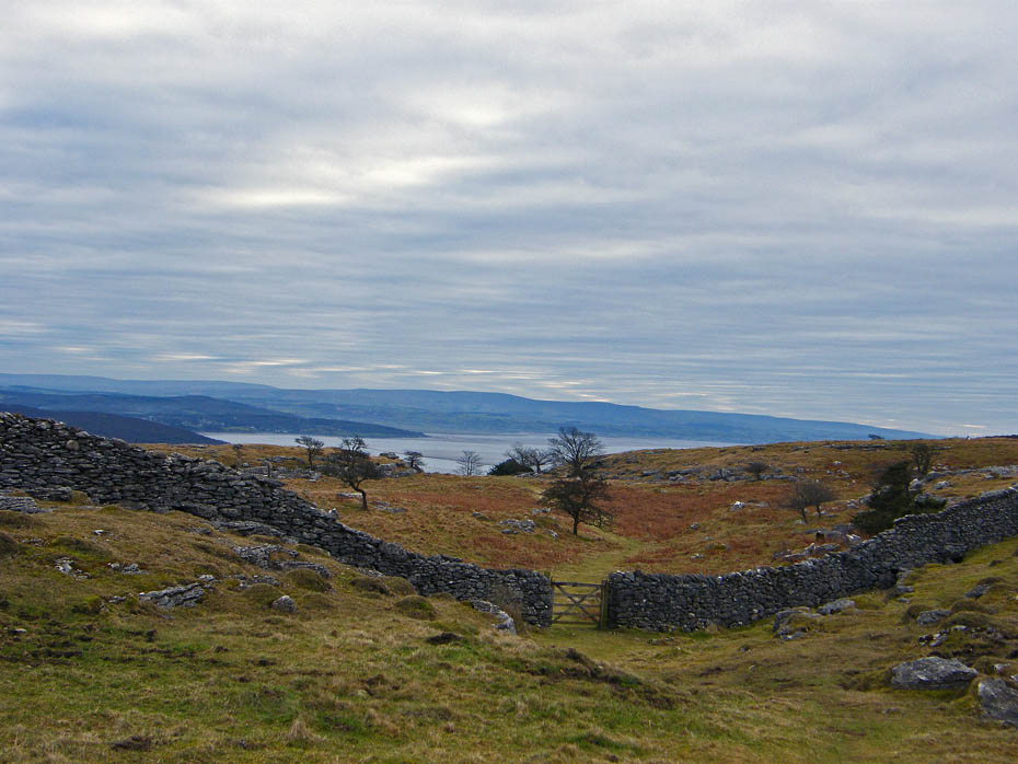
Having decided to do the route in an anti-clockwise direction this would be our descent.
Looking across the Kent estuary to Arnside Knott and a distant Ingleborough.
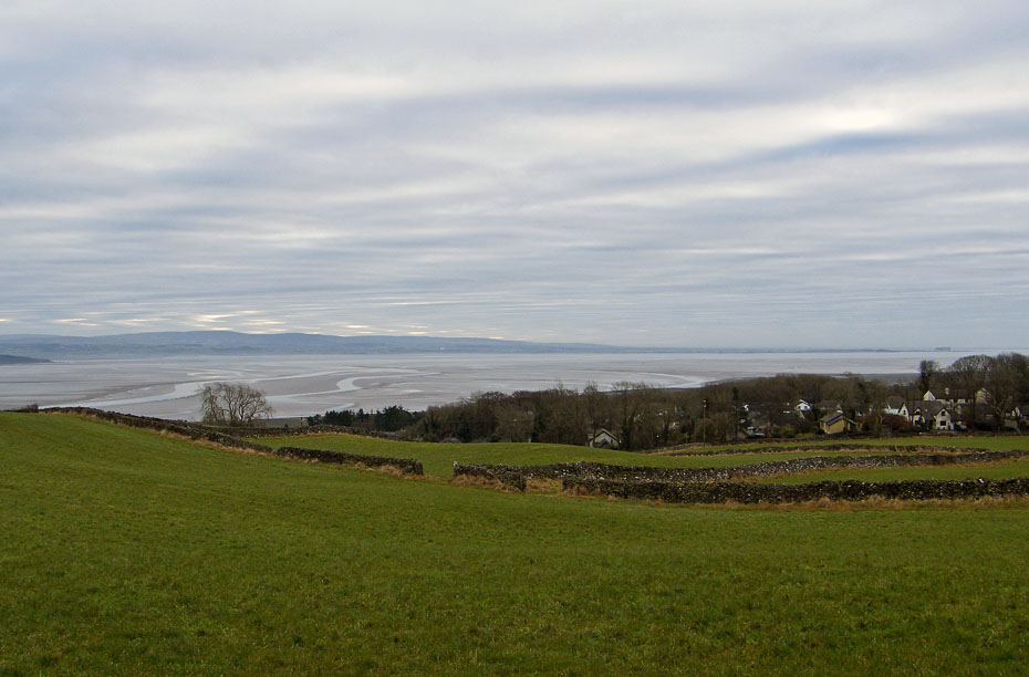
The beautiful but dangerous sands of Morecambe Bay.
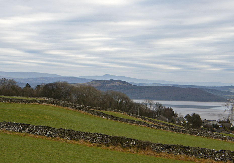
Looking over Spring Bank to Arnside Knott and Ingleborough.
No sun today, just lots of high white cloud with patches of light breaking through.
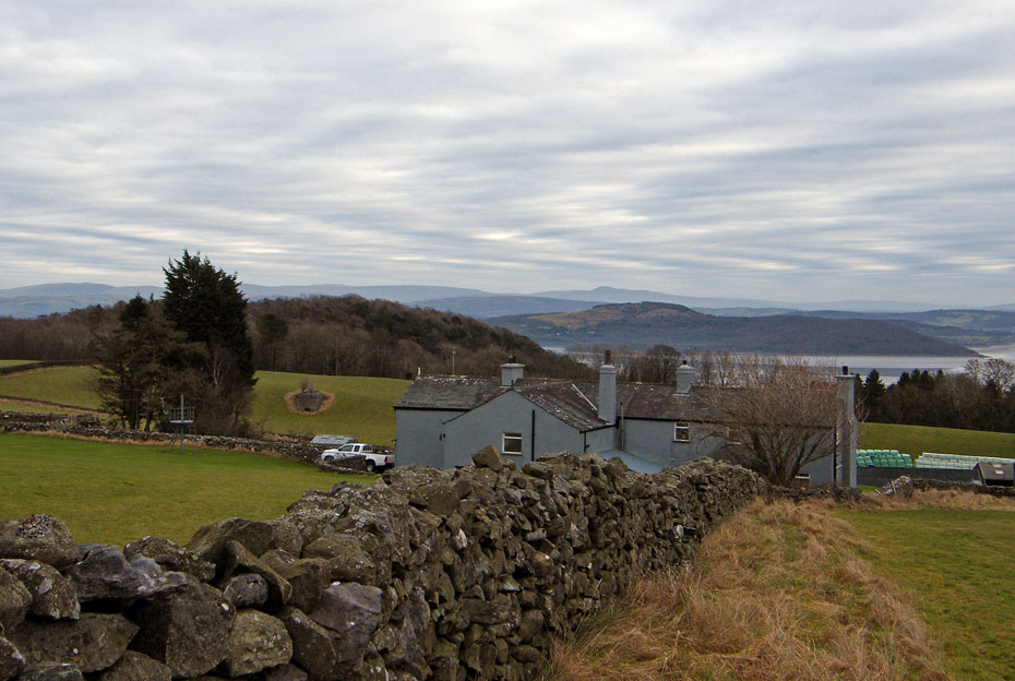
Approaching High Farm.
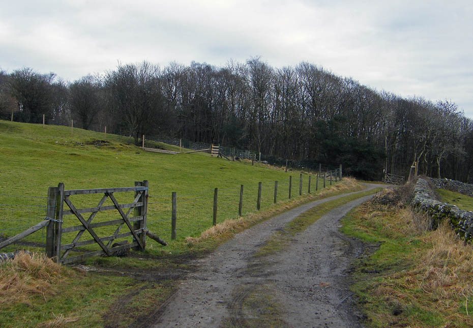
Having walked past the farm we took the track off to the left which skirts the top of Eggerslack Wood.
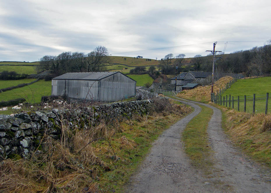
A look back to High Farm.
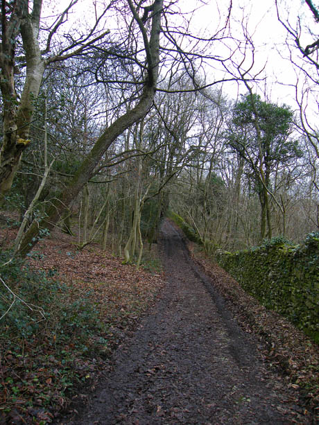
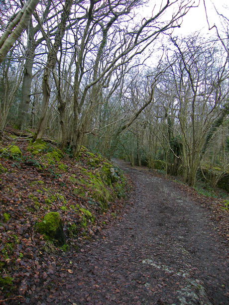
We continued along this track, ignoring a couple of paths to Hampsfell on the left....
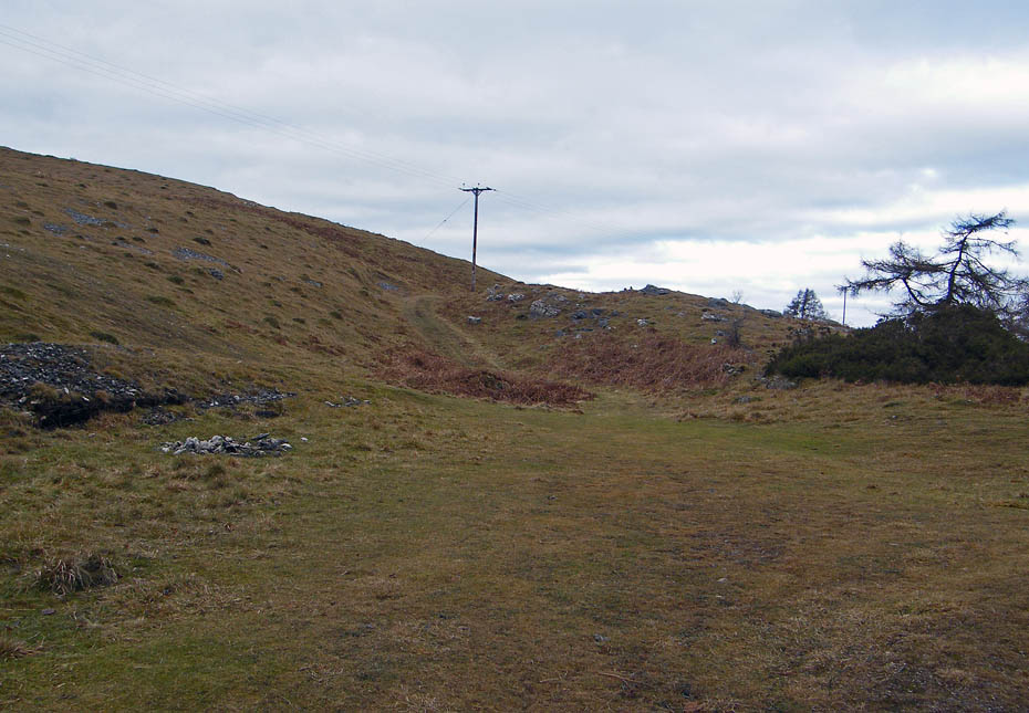
....until we entered an open area where a broad bridleway sets off up the fellside.
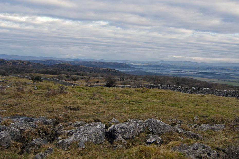
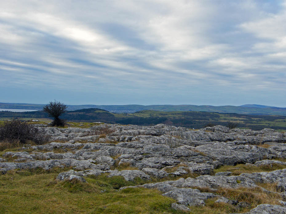
Am eastern panorama takes in the Howgill Fells and Middleton Fell amongst others.
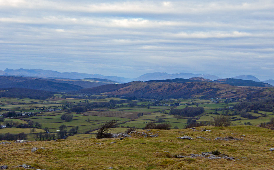
Whitbarrow and the Whinfell Ridge.
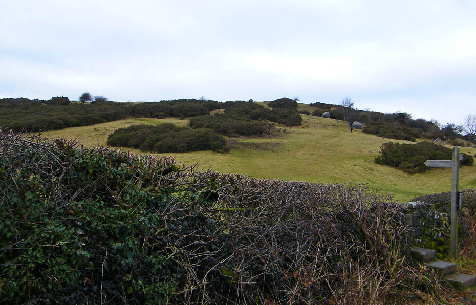
There are many "short-cuts" from the bridleway as it zig-zags its way up the fellside but it is worth staying on the main path.
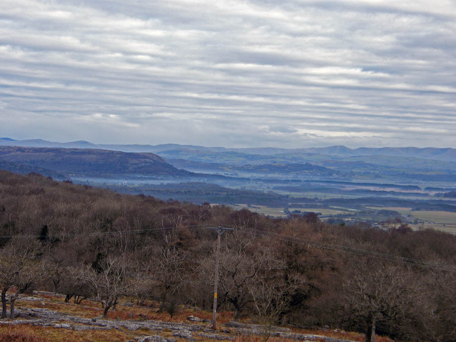
The path eventually passes through a gate from where a look back gives views of the Bowland hills.
As we approach the top of the bridleway views of Lakeland start to appear....from here we will turn left to the south towards the summit.
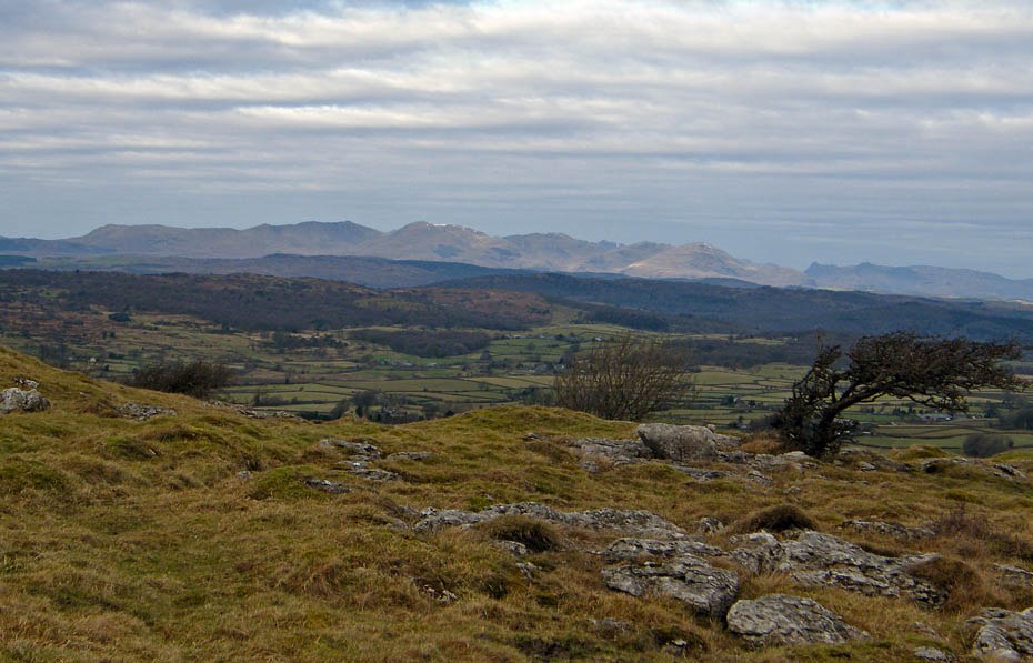
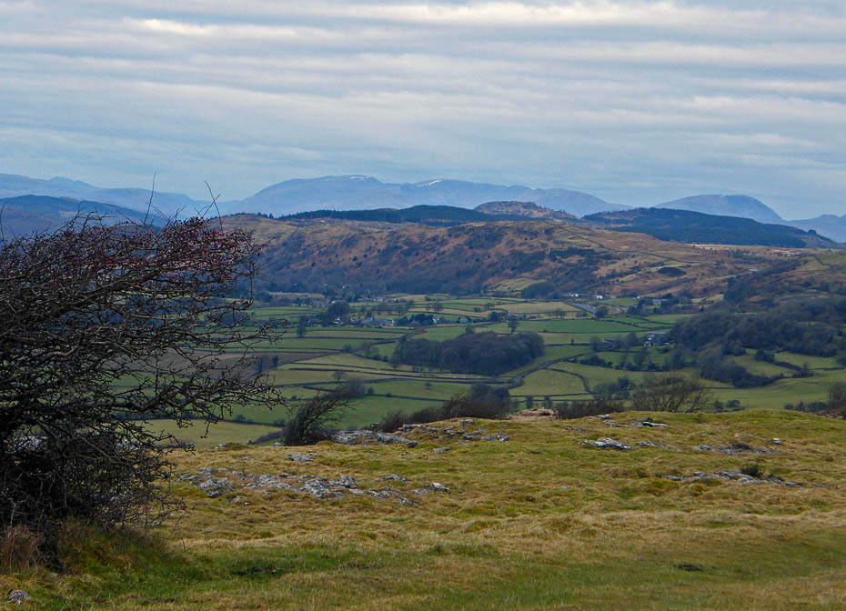
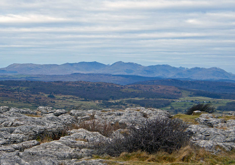
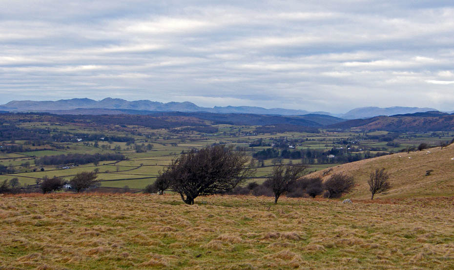
Looking over Newton Fell and Gummer's How to the Helvellyn and Fairfield Fells with a distant Skiddaw on the far left.
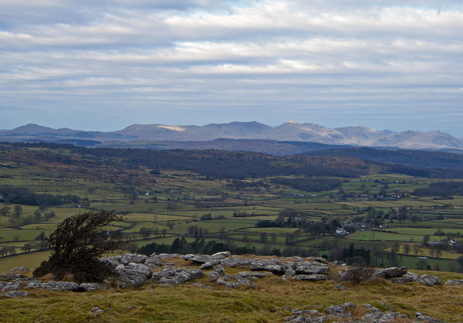
A glimpse of sunlight on the Coniston fells. But it was in short supply today.
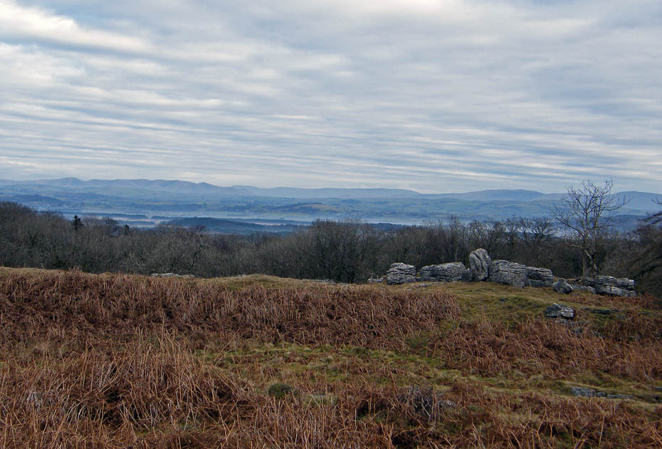
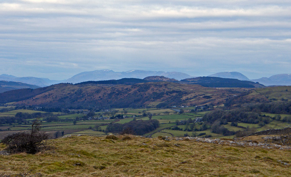
Distant views are quite good but with the flat light it is difficult for the camera to pick out detail.
Around the top of the bridleway we turned southwards to pick up a path towards the Hospice.
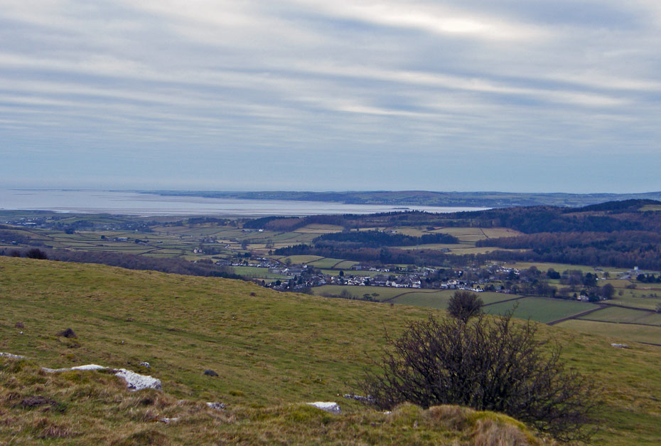
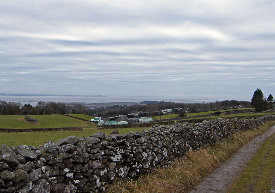
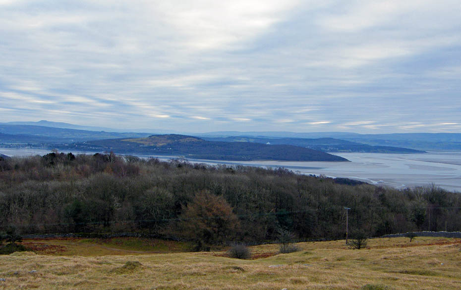
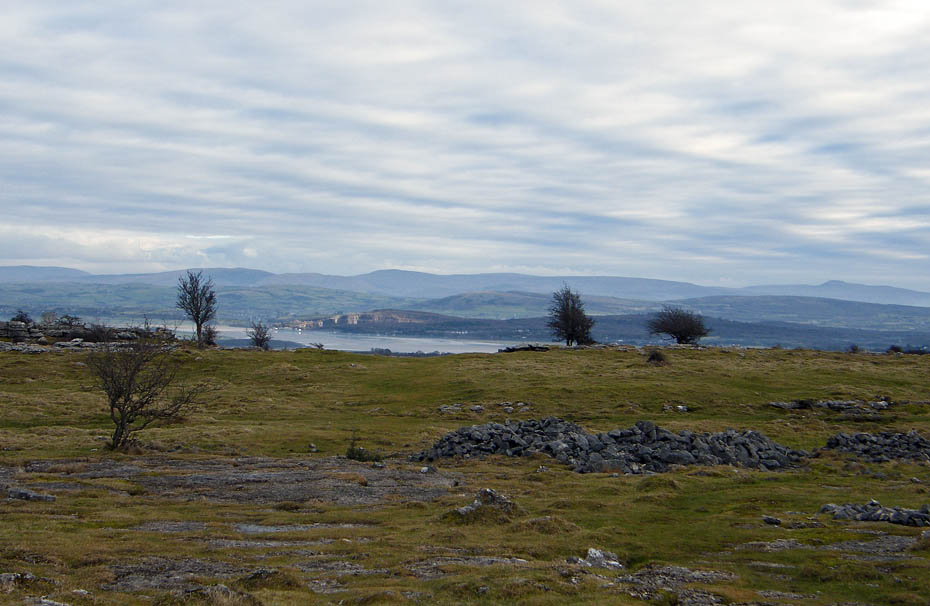
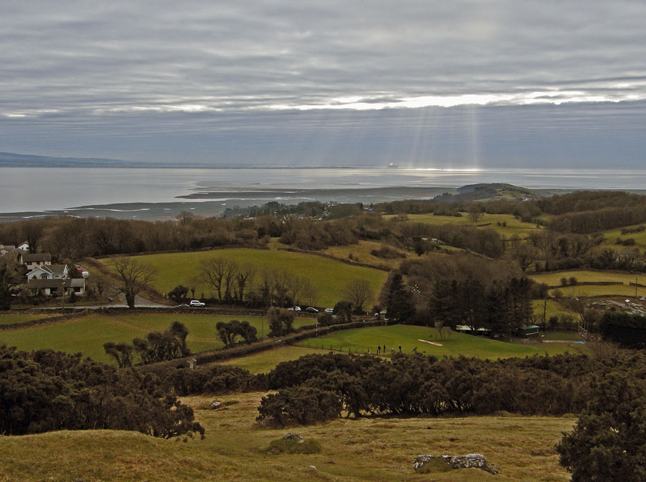
Looking down to Cartmel and across Cartmel Sands to the Furness peninsula.
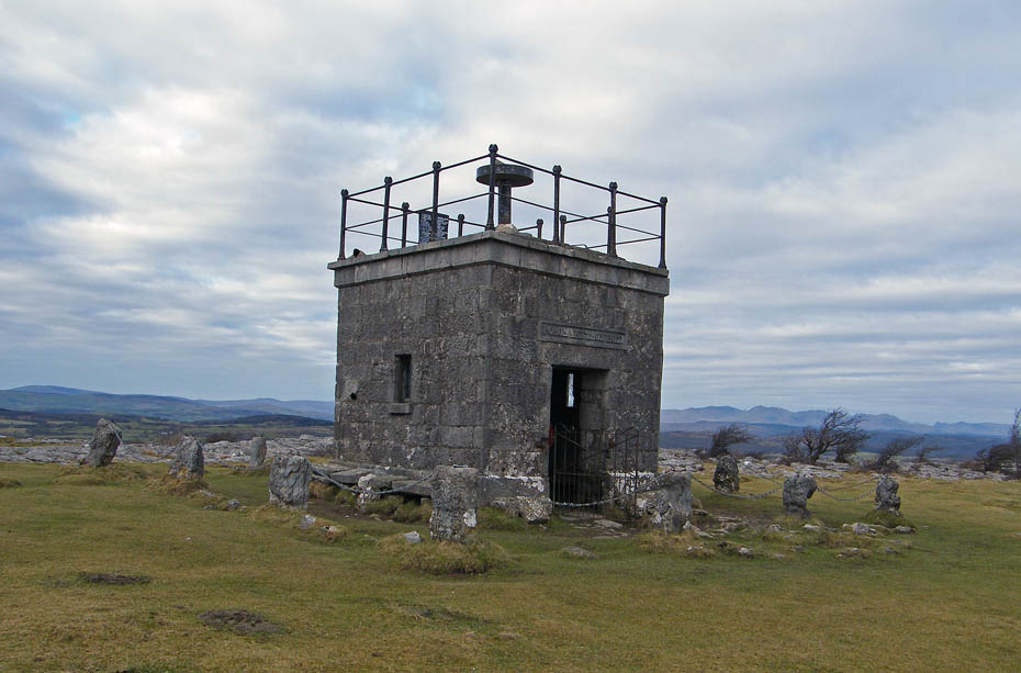
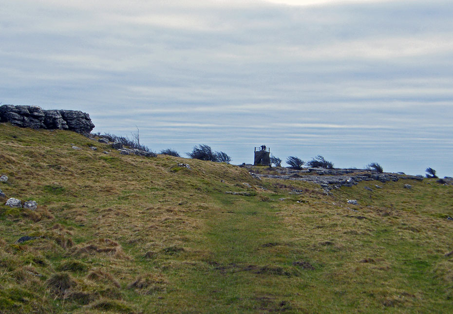
The Hospice.....for the pictures of the interior click HERE
Coniston fells
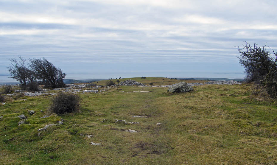
Time to leave and it's an easy stroll along the ridge.
.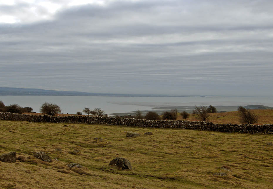
Looking down Morecambe Bay the clouds seem to be thickening.
Unusual patterns over Ingleborough.
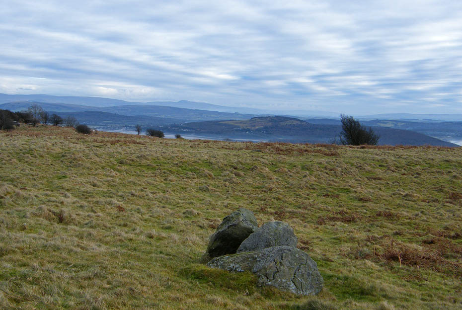
A last look back from Fell End.
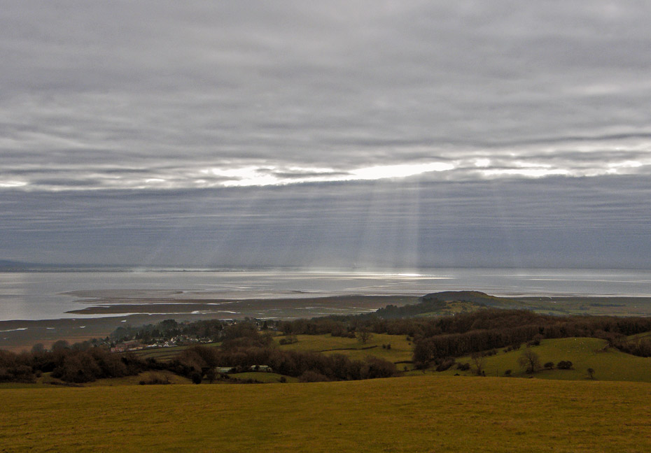
Sunlight o'er the Bay....a look over Humphrey Head towards home.
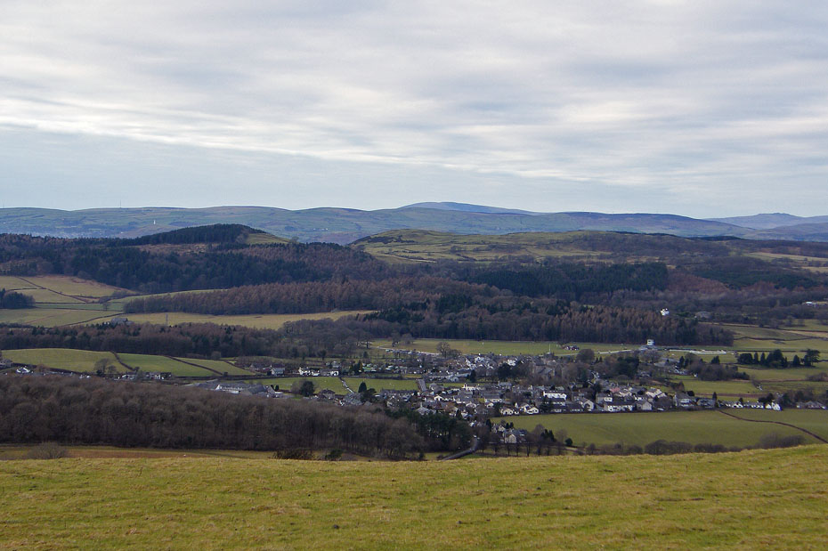
The village of Cartmel with Howbarrow behind.
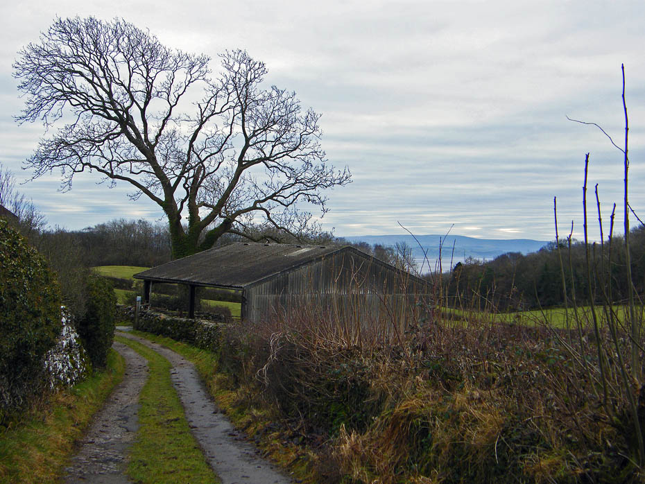
And finally.....just a short downhill back to the car below.
Next Walk: 26th January 2011 - Arnside & Silverdale - Leighton Moss & Hall & Warton Crag
Last Walk: 21st January 2011 - Lake District - School Knott
Do you have a FaceBook or Twitter account? We post regular updates on both plus some additional pictures. Just click on either of the links below and add us.
![]()

We hope you have enjoyed viewing this walk. If you have any comments please sign our Guestbook or E_Mail us.
