
| Area: | Arnside & Silverdale | Ascent: | 700feet |
| Walk No: | 487 | Time: | 3hours 5minutes |
| Date: | 26th January 2011 | Parking: | RSPB Visitor Centre at Leighton Moss |
| Distance: | 5.75miles | Weather: | Fine with some cloud. |
| Route: |
For those of you that are thinking of going onto the hills I would strongly recommend that you read the advice given by the Mountain Rescue organisation of England and Wales. To read this advice, which will open in a new page please click HERE. If you would like to make a donation to the Mountain Rescue organisation which is purely voluntary please click HERE. Please make the time to read the advice page.
I wasn't sure where to go today when I was planning last night. First thoughts as always were with Cumbria but it is a while since we last visited the Yorkshire Dales and a visit there would be nice. However I didn't have too good a nights sleep and when I got up my chest was tight. I do have medication that I take 3 times a day to try and thin the mucus around my lungs but I find that the good old-fashioned steam inhalation helps. When I eventually popped my head outside the door it was to find that even though the air temperature was around 5°C it felt a whole lot colder with a northerly breeze. Not wanting to make my chest any worse we decided on this walk near home which kept us sheltered from the breeze for most of the time and also offered plenty of "escape" routes where we could cut the walk short. As it turned out it was my longest walk of 2011 and as we returned to the Visitor Centre it certainly felt it.
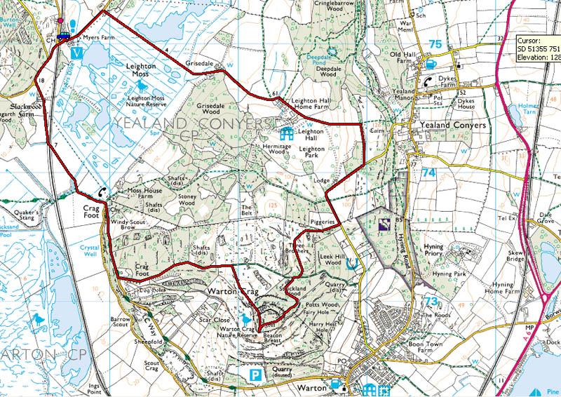
Route Map
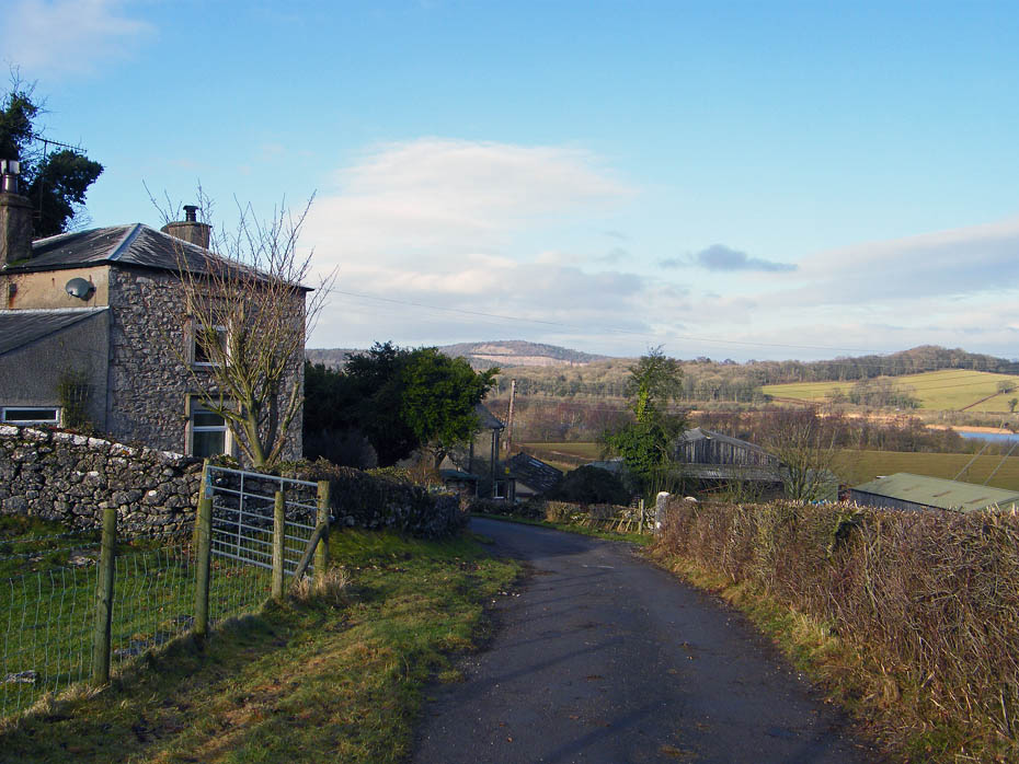
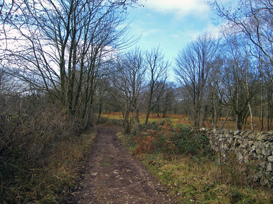
Having left the car at the RSPB Visitor Centre at Leighton Moss we walked alongside the road on a concessionary path towards Leighton Moss with a view over to Trough Plantation.
I'm afraid that I don't have the patience to be a "twitcher", besides being half-deaf I can hardly hear the things anyway.
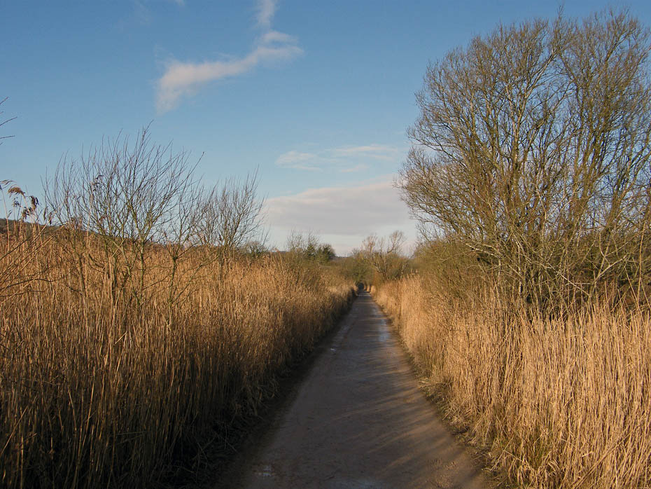
This causeway runs right across the Moss.
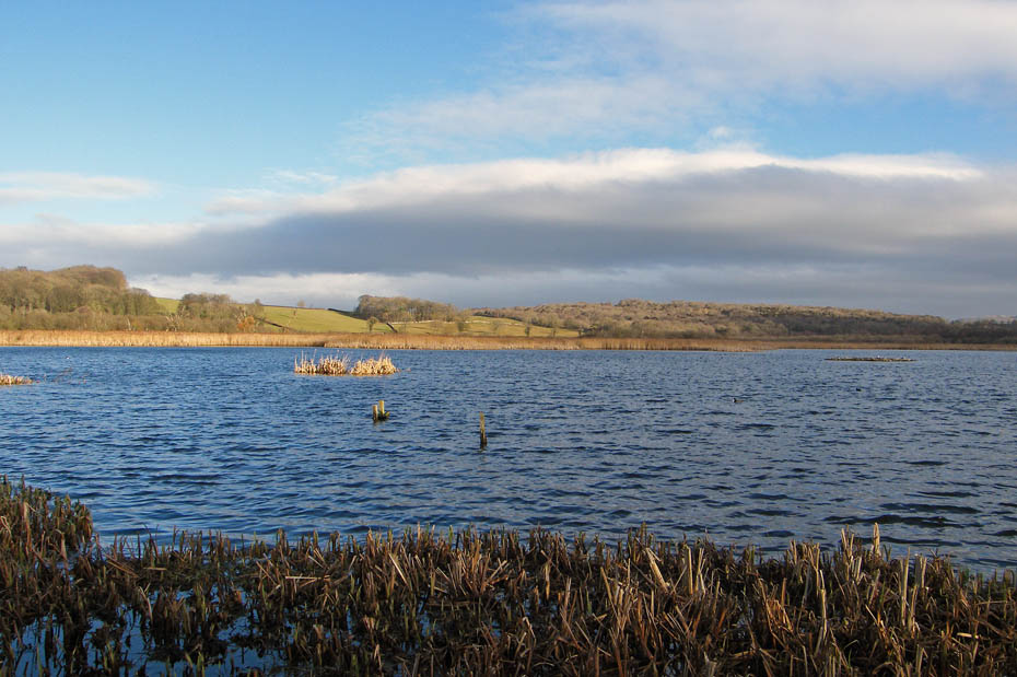
We are now in the public hide and whilst I struggle to see anything there are others staring intently down their binoculars.
This is my favourite spot, although there are probably many better if you take time to look around.
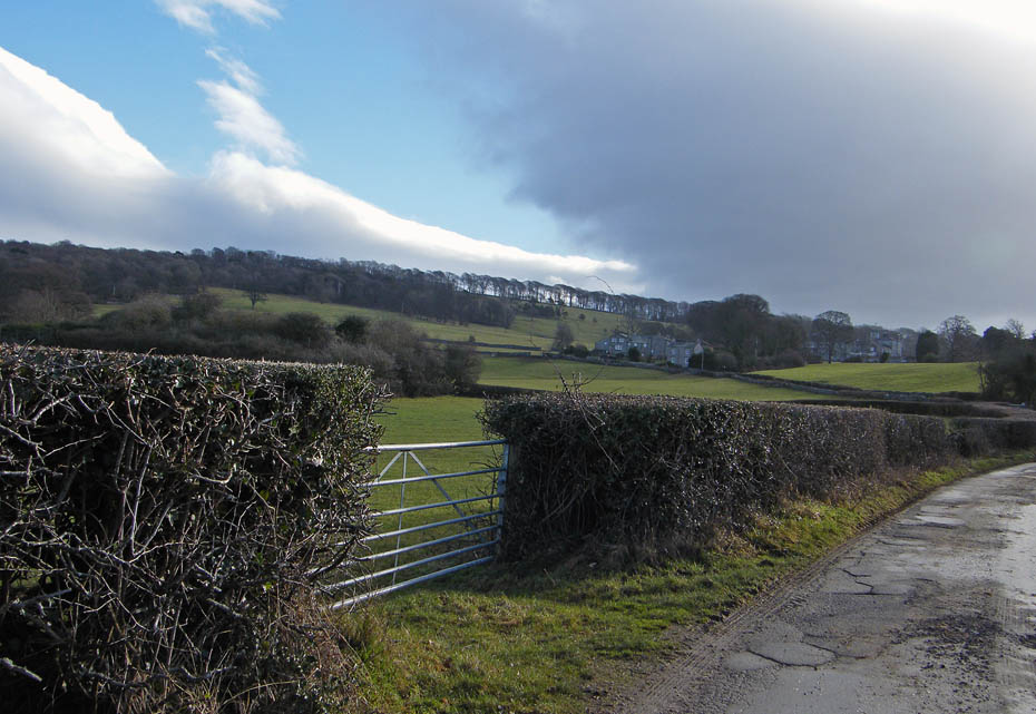
Leaving the moss the path goes up towards Grisedale Farm. Ahead is the first signs of the cloud that would interfere with some views later.
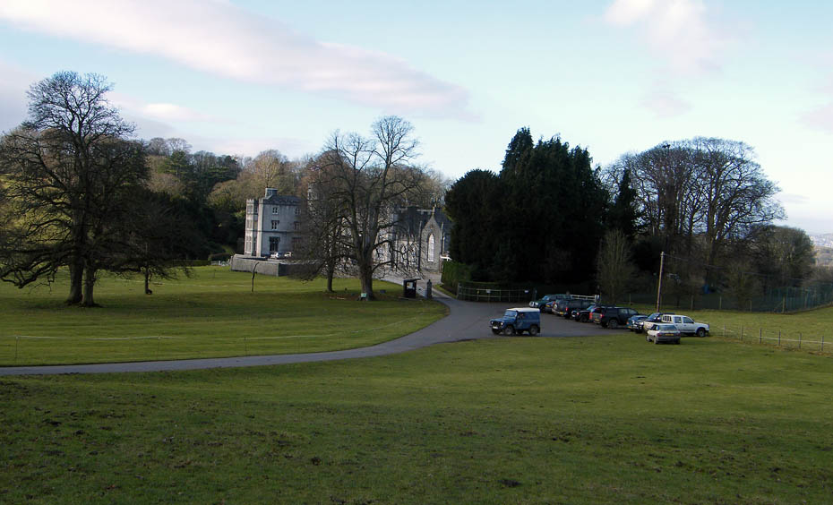
A look back from the lane to Leighton Hall with Arnside Knott in the distance.
As we headed towards Leighton Hall I was wondering if that cloud would cover the sun before we got there.
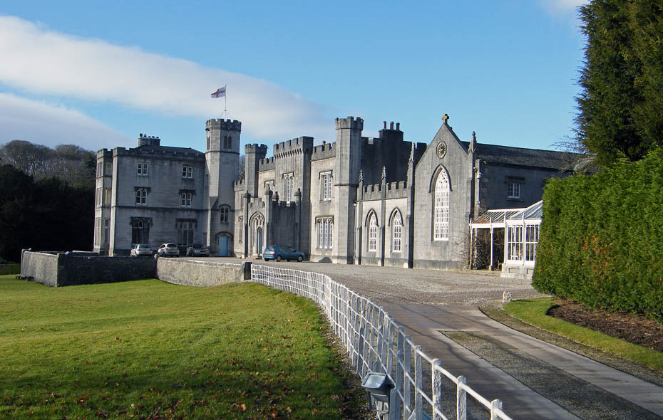
Leighton Hall and the sun is still out. But not for long.
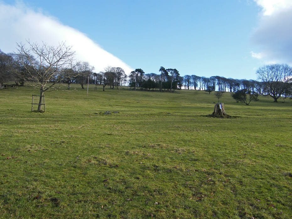
The short climb up Summer House Hill even leaves me gasping nowadays and means a number of stops.
There is a shoot on today. We can hear the guns, hence the number of vehicles parked at the bottom of the hill.
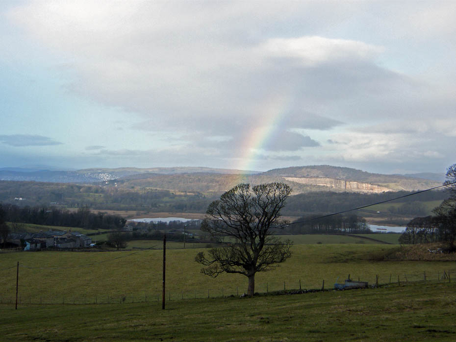
I'm not sure who got the rain, certainly not us, and it only lasted a few moments.
The sun is hidden from us now although others are still seeing it. As the next part of the walk offers little views I was hoping that by the time we reached Warton Crag the cloud had cleared.
We walked down the road from Leighton Hall to a place marked on the OS Map as Piggeries. From here there is a path through the area known as "Three Brothers"
The path follows a wall on the right for a short distance before swinging to the left. If however you want to visit the Three Brothers follow the path ahead through the trees. It is well walked.
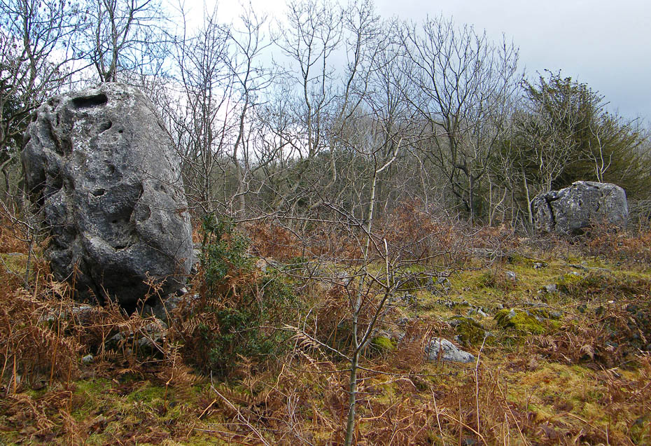
It is difficult to capture all three of the stones at the same time so here are just a couple. Apparently at one time they were visited because they used to rock. A brothers I don't know if they have names but the nearest one could be called Craggy with its features.
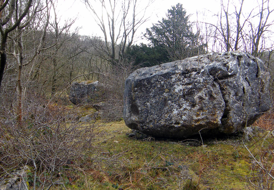
The third stone lies a short distance behind the second. I read on some forums where people had problems locating the stones as there are others nearby. Look carefully on the OS Map and they are actually marked as a row of 3 dots at SD49465 73470
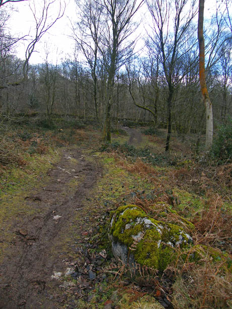
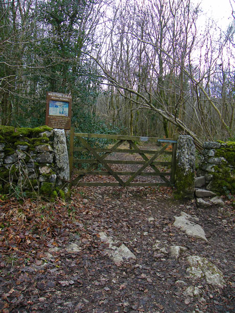
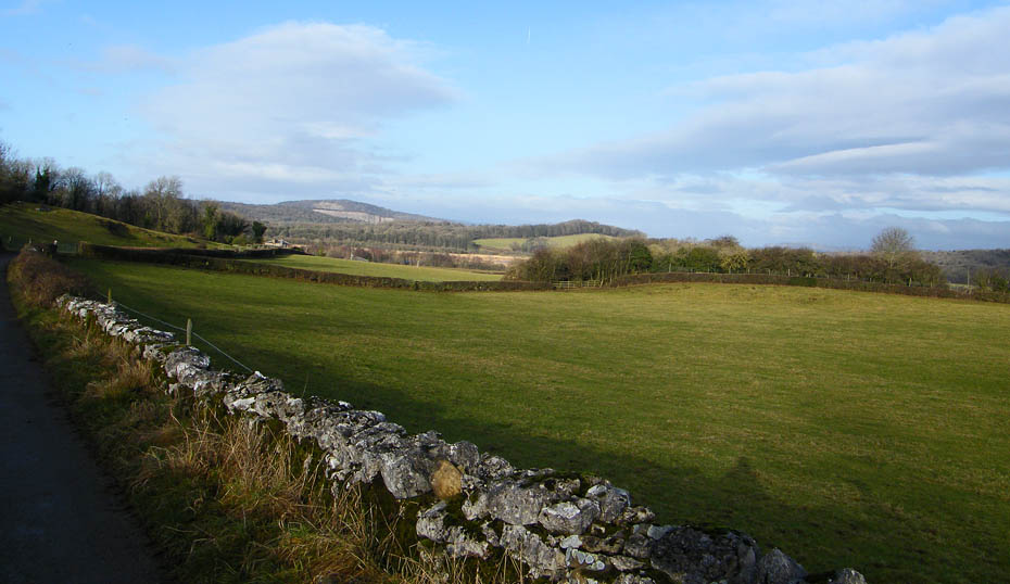
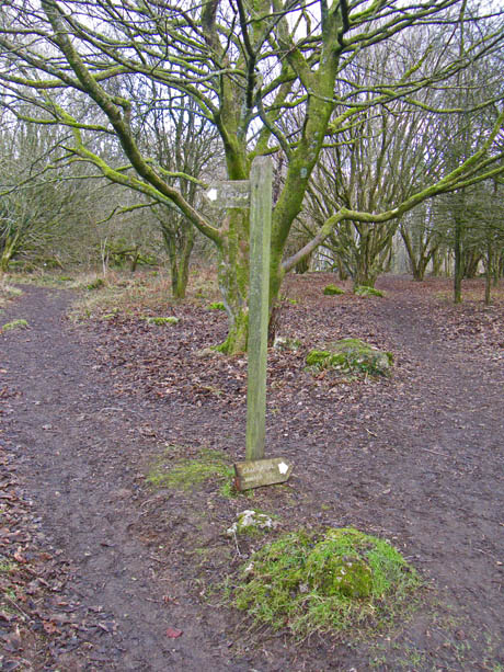
From the stones we made our way to the main path which emerges (l) onto a walled lane known as the Coach Road. A right turn and a few yards takes us to the start of the path up Warton Crag (r)
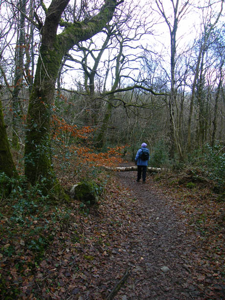
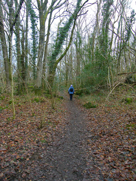
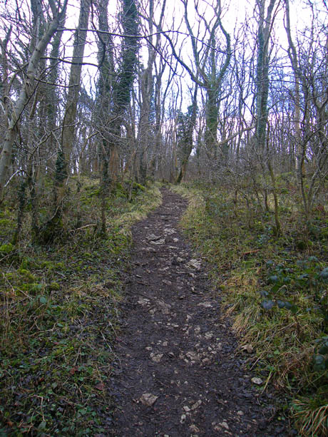
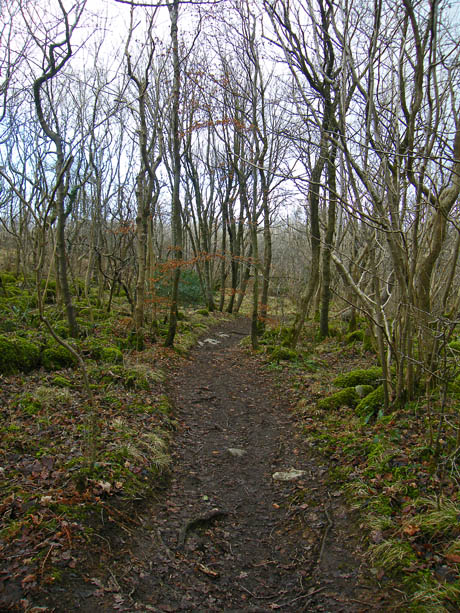
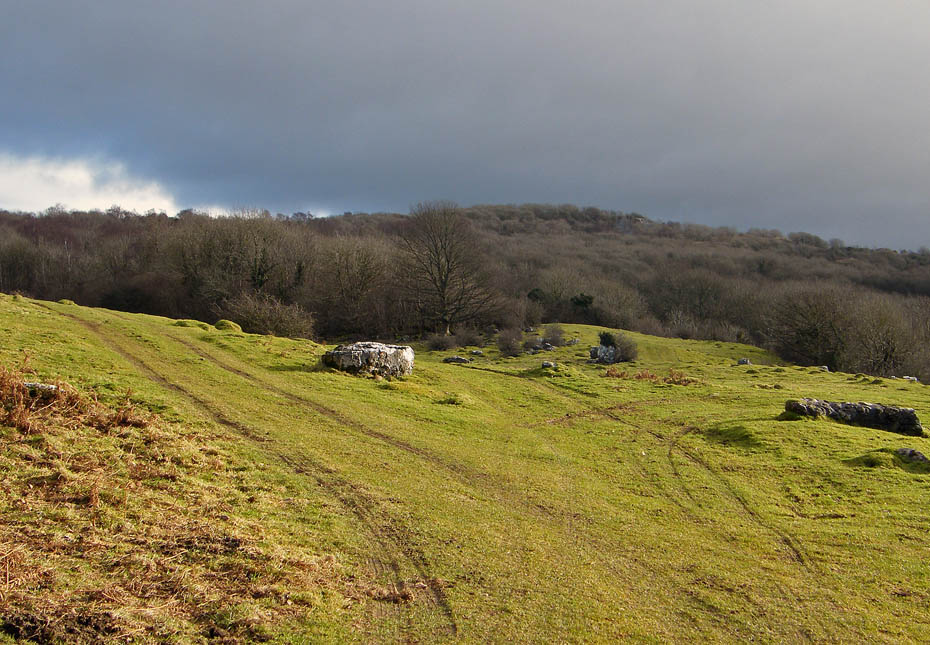
As we make our way through Strickland Wood it still looks dull ahead of us.
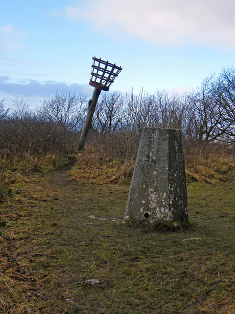
A short climb (l) on a rather slippy path leads us to the summit (r) with its triangulation point and leaning beacon.
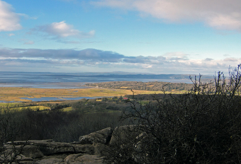
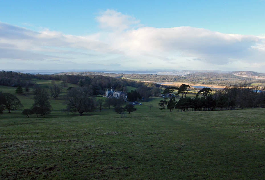
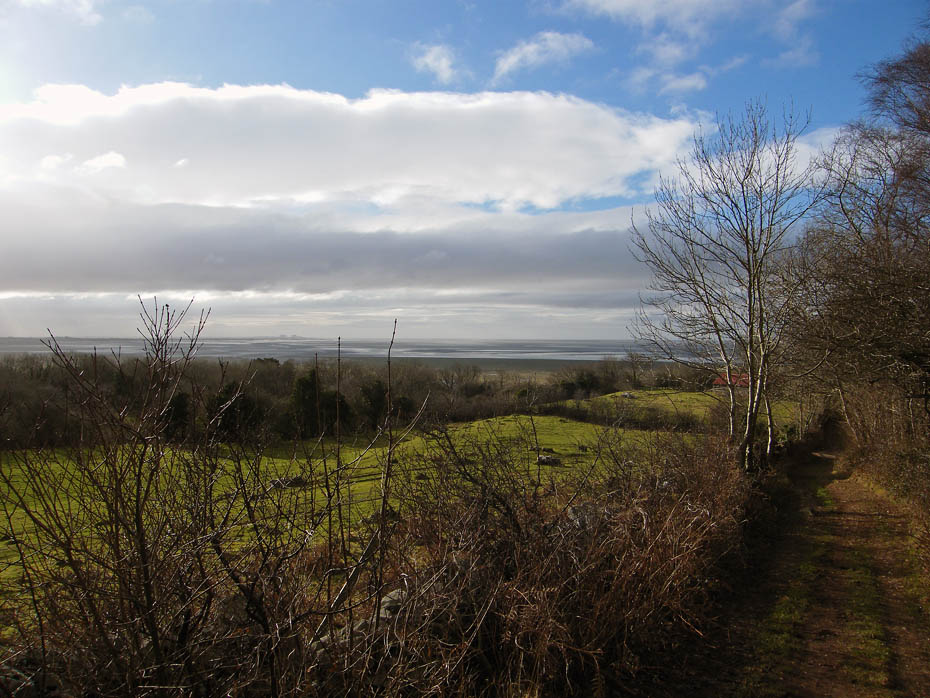
Looking over Jenny Brown's Point to the Cartmel and Furness Peninsulas with a distant Black Combe in the centre.
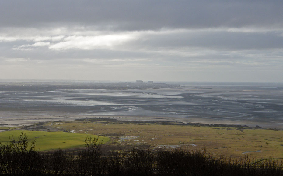
Looking down Morecambe Bay things are a bit greyer.
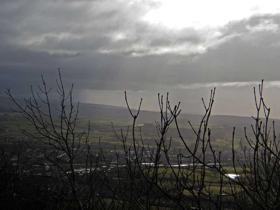
And towards Clougha Pike even worse.
A little disappointed but not downhearted we leave the summit to make our way down to Crag Foot.
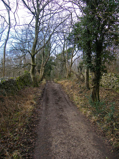
Back on the old coach road.
We start to catch the sun as we walk down.
It's even a little brighter as down the bay.
A look back to the summit isn't too promising though.
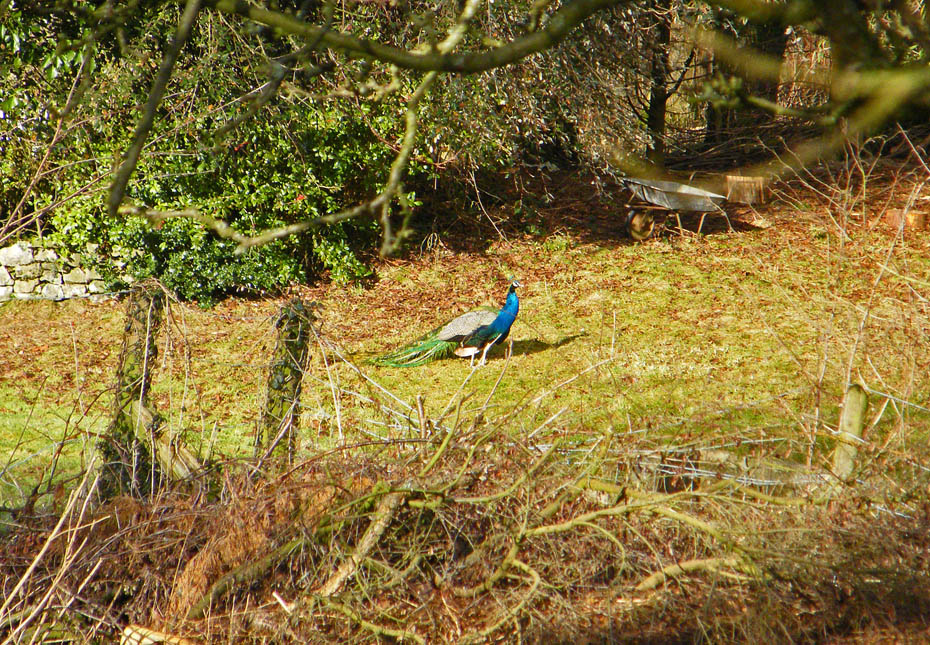
There have been peacocks at the house at the foot of the coach road for years but it isn't too often you catch sight of them.
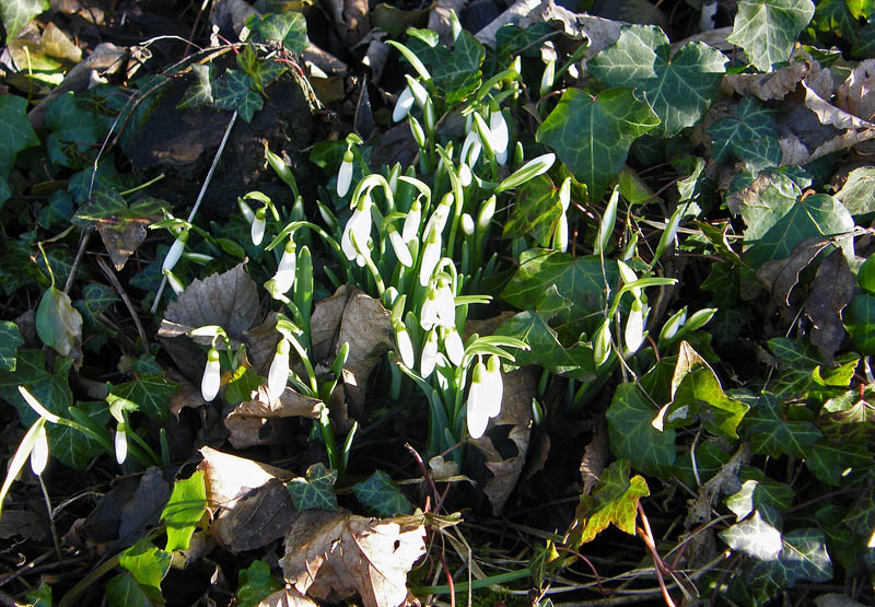
At Crag Foot our first snowdrops.
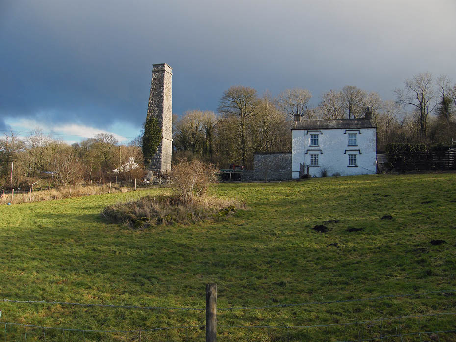
The chimney of the old pumphouse that used to keep the moss drained.
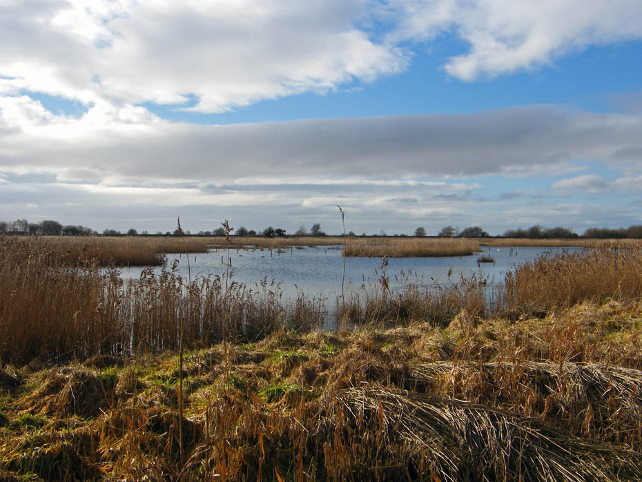
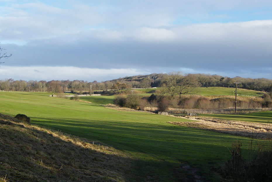
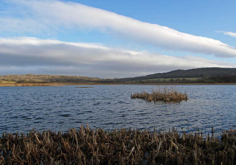
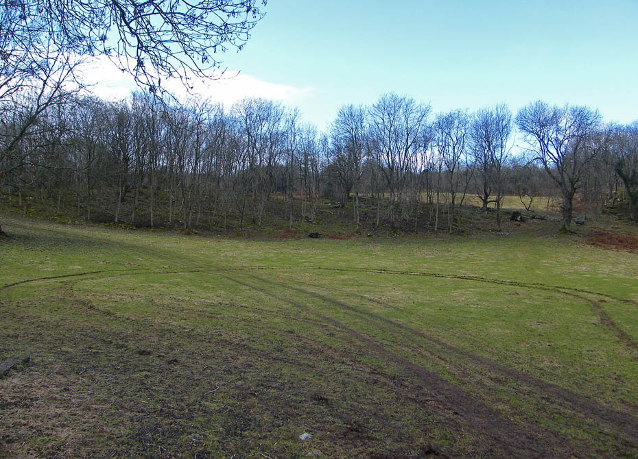
Barrow Scout Fields, part of the Leighton Moss complex.
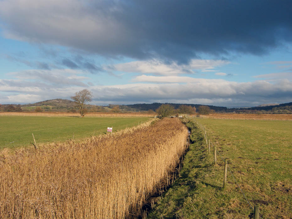
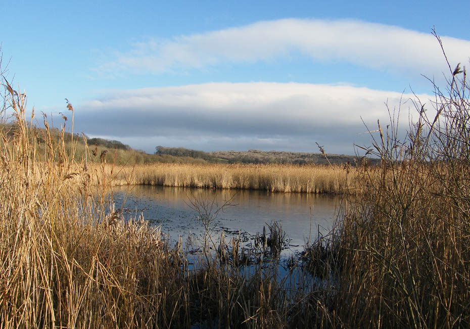
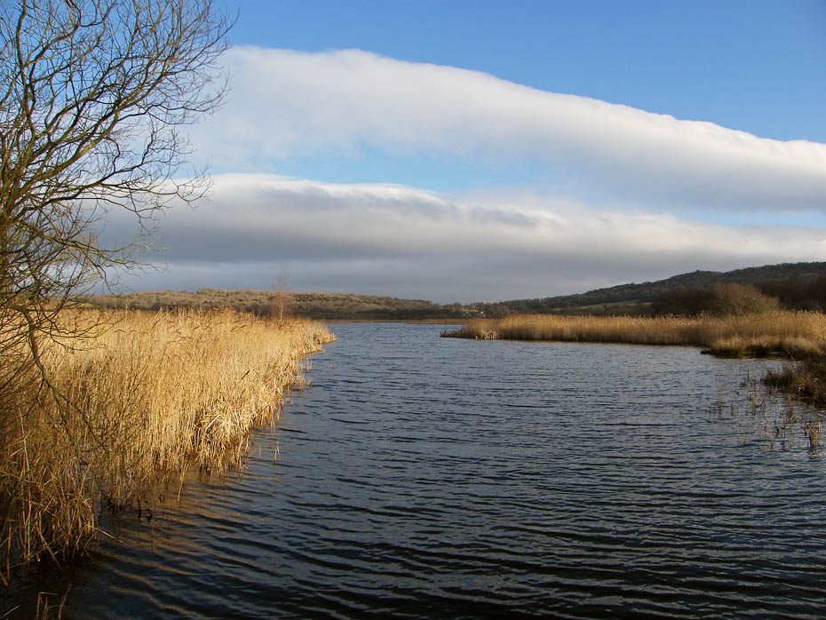
The reed filled outlet from Leighton Moss
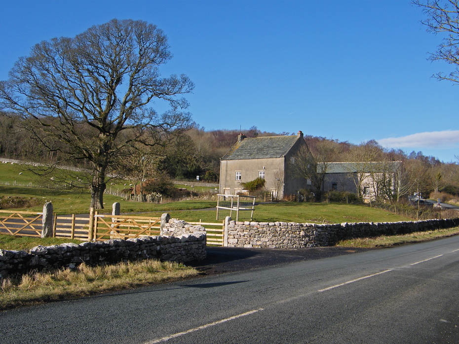
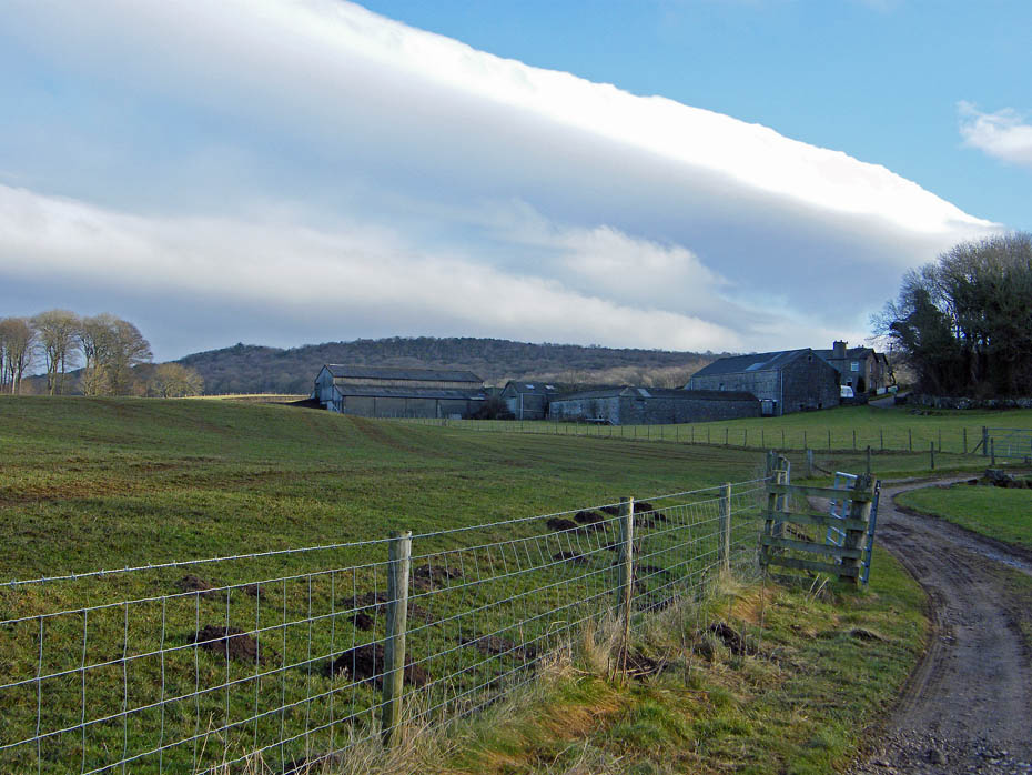
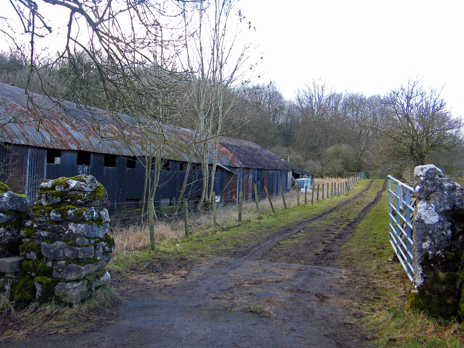
Renovation work at Slackwood Farm continues.
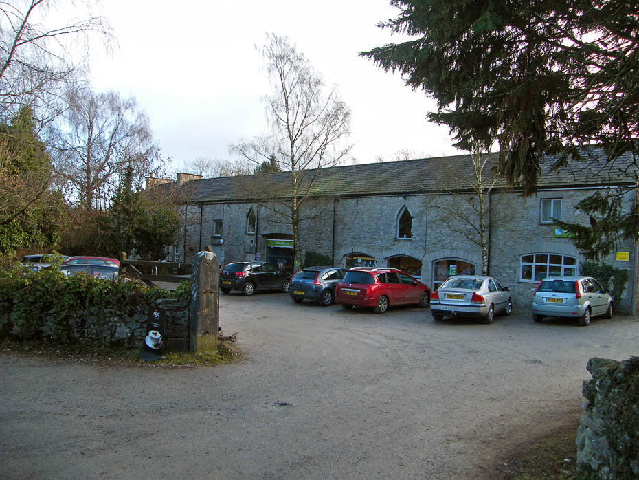
And finally.....back to the visitor centre at Leighton Moss.
Next Walk: 28th January 2011 - Local - A big ship and 2 short walks
Last Walk: 23rd January 2011 - South Cumbria - Hampsfell
Do you have a FaceBook or Twitter account? We post regular updates on both plus some additional pictures. Just click on either of the links below and add us.
![]()

We hope you have enjoyed viewing this walk. If you have any comments please sign our Guestbook or E_Mail us.
