
| Area: | Arnside & Silverdale | Ascent: | 800feet |
| Walk No: | 490 | Time: | 3hours |
| Date: | 1st February 2011 | Parking: | Roadside at Silverdale |
| Distance: | 5.75miles | Weather: | Fine and mainly sunny but with fog or mist around me. |
| Route: |
For those of you that are thinking of going onto the hills I would strongly recommend that you read the advice given by the Mountain Rescue organisation of England and Wales. To read this advice, which will open in a new page please click HERE. If you would like to make a donation to the Mountain Rescue organisation which is purely voluntary please click HERE. Please make the time to read the advice page.
My intention today was to catch up on e_mails and to work on the website. Edith as is normal for a Tuesday was visiting her brother for the day and the early morning was overcast and grey. However around 9:30am the day suddenly changed and a look out of the windows revealed blue skies to all quarters. Plans were quickly changed and the boots and rucsac thrown into the car. There was some disappointment as I drove towards Carnforth as I entered patchy fog. I was soon parked up in Silverdale and commenced the walk at 10:20am. Although I was walking in the sun for the greater part of the day distant views were virtually non-existent as there seemed to be a band of fog or mist encircling me.
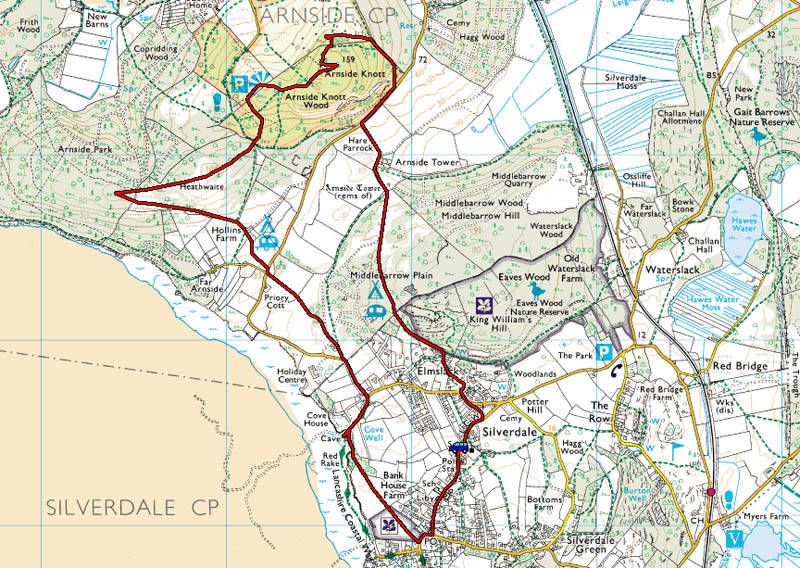
Route Map
I parked the car at the roadside in Silverdale and walked back through the village towards the shore.
Before reaching the shore however I took a path across the fields to The Cove.
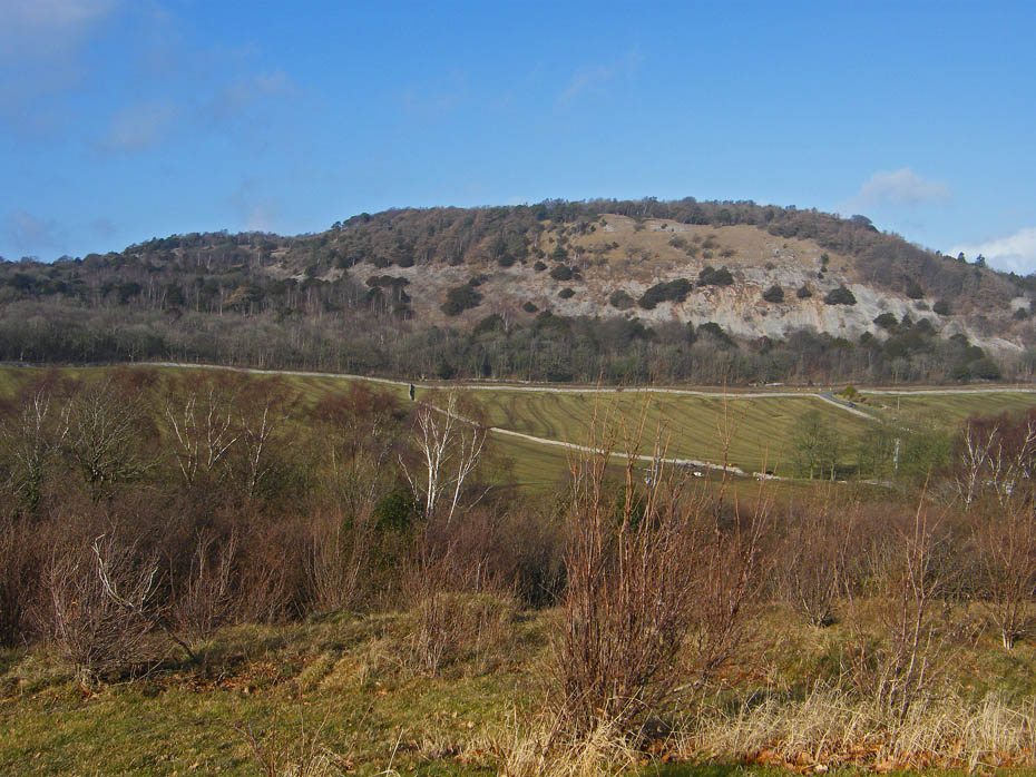
A glimpse of the Knott as I wander across the fields.
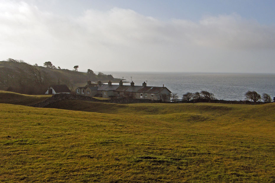
A look backwards over the old cottages shows signs of the mist that would surround me for most of the walk.
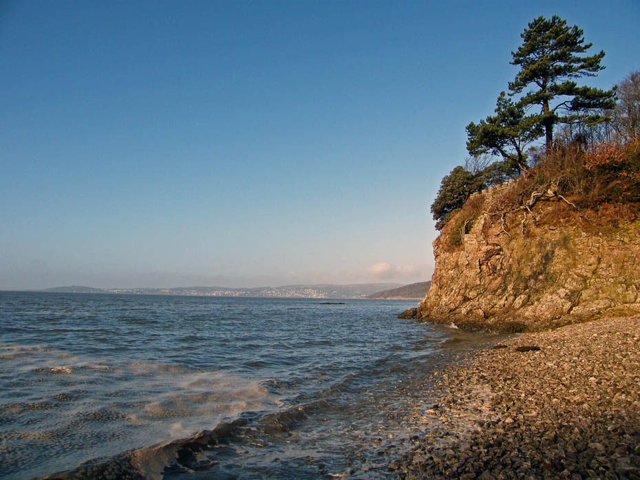
At The Cove the morning sun was catching the limestone cliffs.
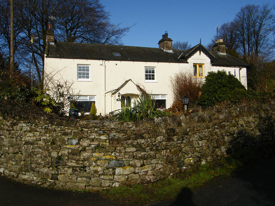
Cove Cottage as I walk up to the Arnside - Silverdale road.
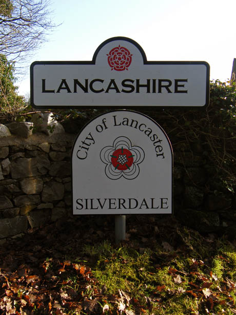
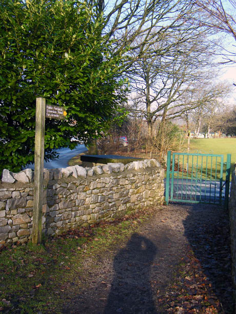
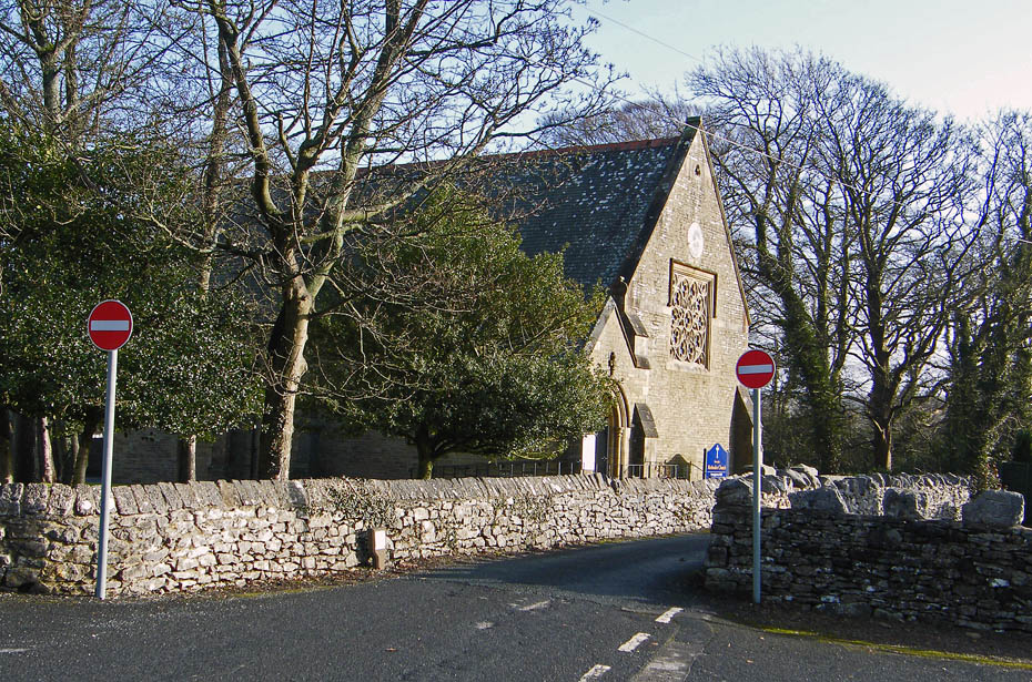
Cross-border control as I enter Cumbria......I wonder if there's such a thing as a Lancumbrian, I could fit in that category easily.
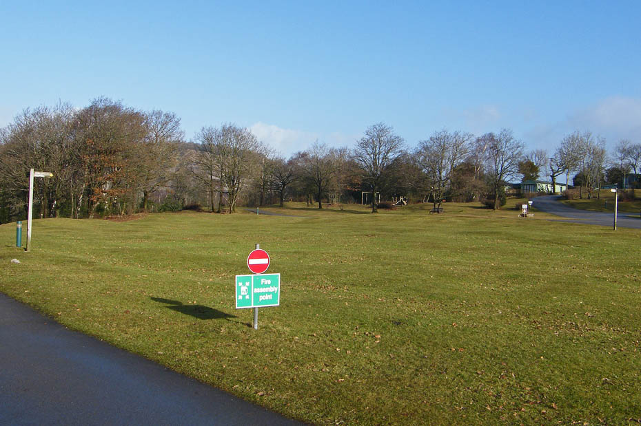
Walking across Holgates Caravan Park at Silverdale. Anybody looking for a base could do a lot worse than here. It recently won the top award for England & Overall Campsite of 2011.
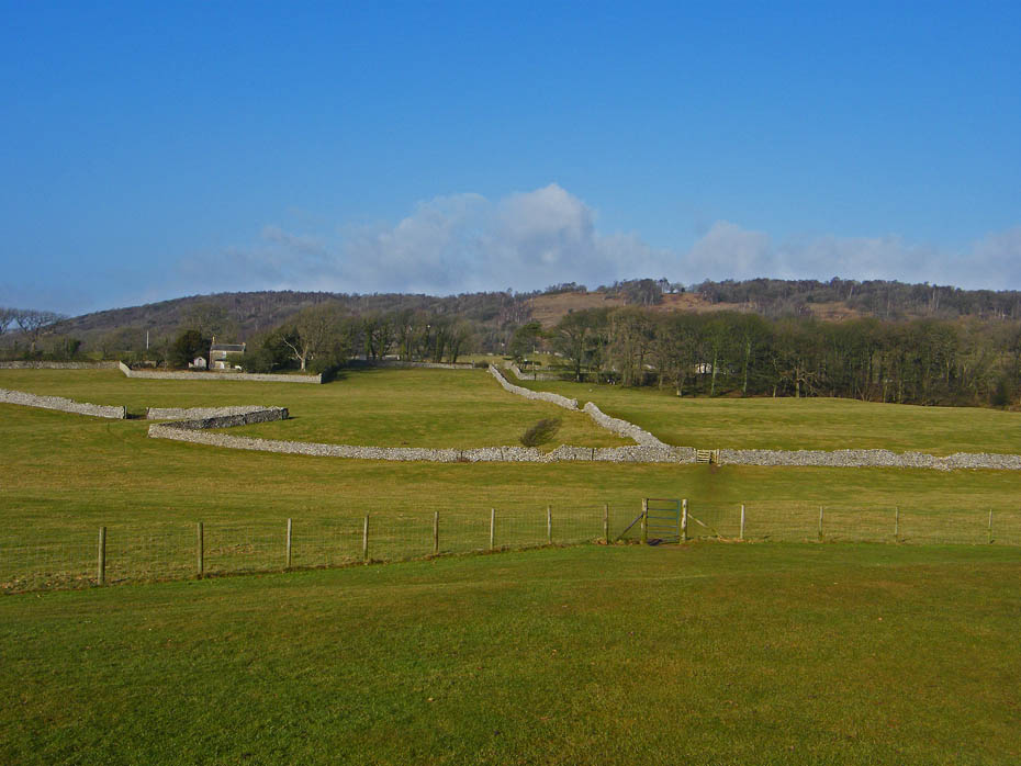
Leaving the campsite I walked across the fields towards Far Arnside with Heaththwaite behind.
To the right Heaththwaite gives way to Arnside Knott.
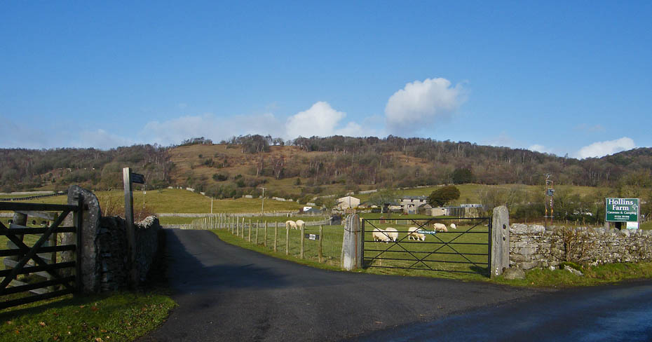
After crossing the fields I cross the Arnside - Silverdale road and take the lane towards Hollins Farm.
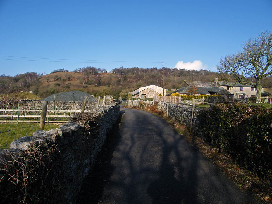
My route carries on ahead passing to the left of the barn. For a change my route will ascend to the viewpoint on Heathwaite today.
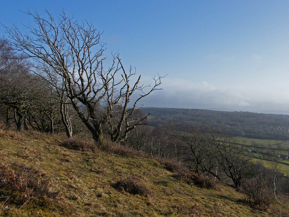
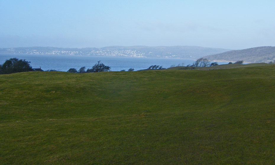
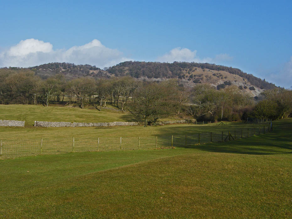
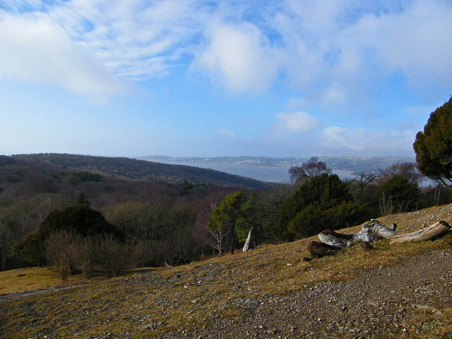
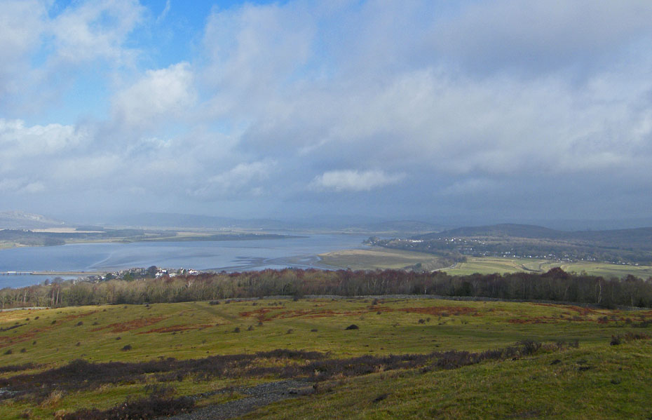
Having huffed and puffed my way up Heaththwaite the views were still restricted eastwards by the mist.
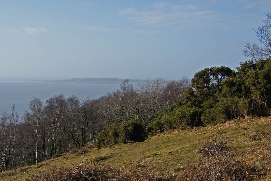
To the southwest the low-lying Humphrey Head was also partly hidden with the misty haze.
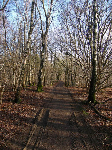
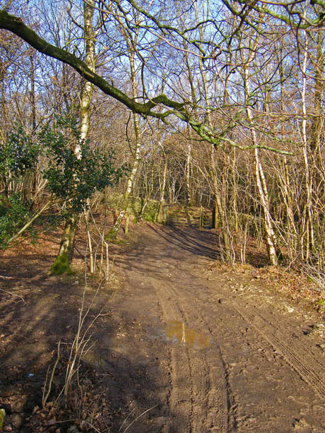
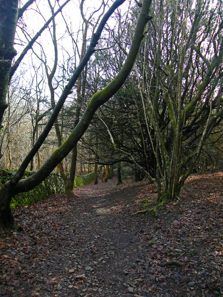
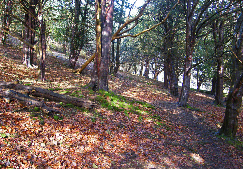
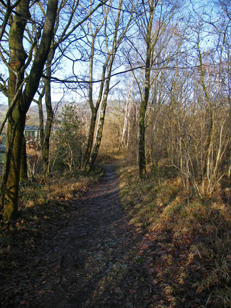
From the viewpoint I made my way through the woods to join up with my normal route at the gate. The gate leads onto a bridle way between Arnside Tower and Arnside but I will just cross it to take the path up the Knott.
It was around this point that I was thinking that I might get lucky and get some views of Lakeland.
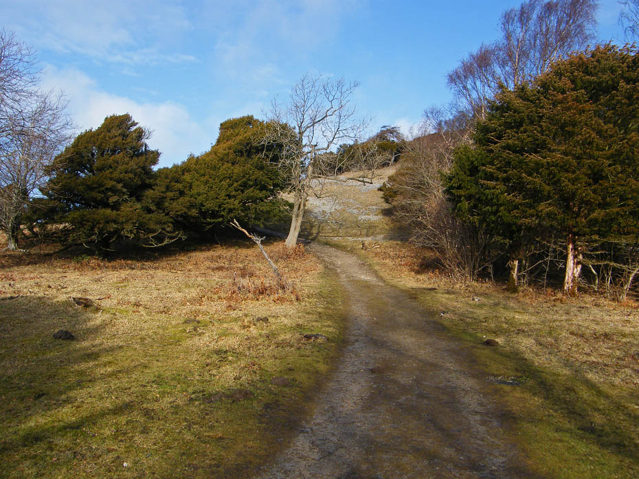
Approaching the two seats where I left the main path to take a smaller track to the left....
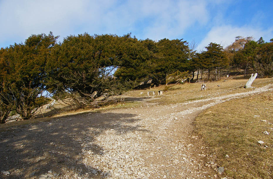
....that contours around the hillside before passing through a gate, where, after a short climb...
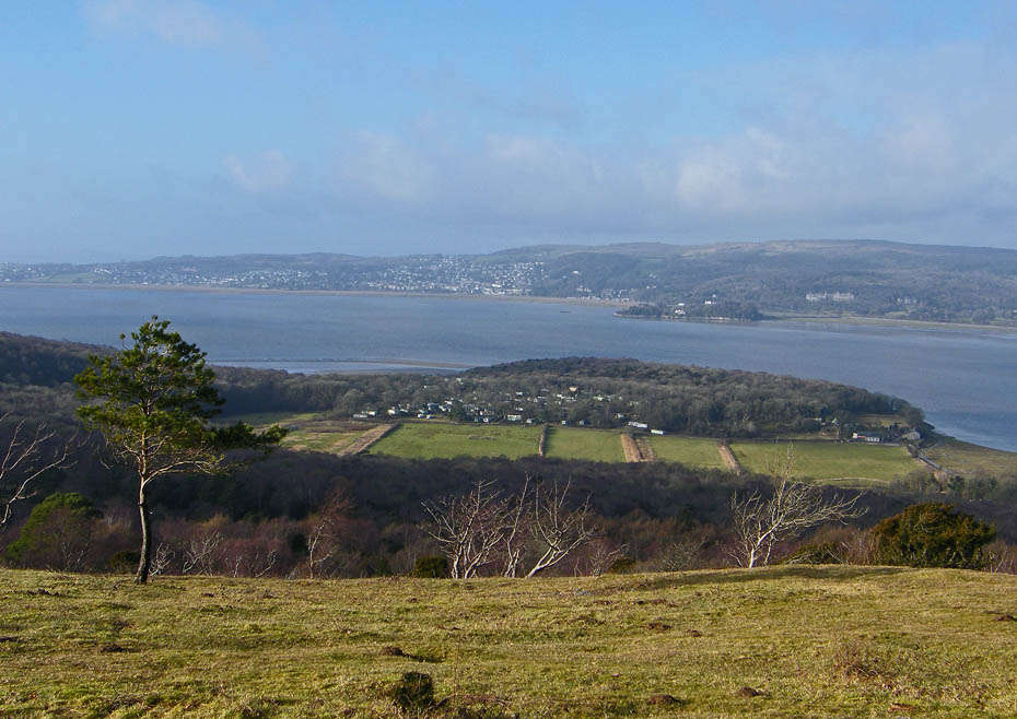
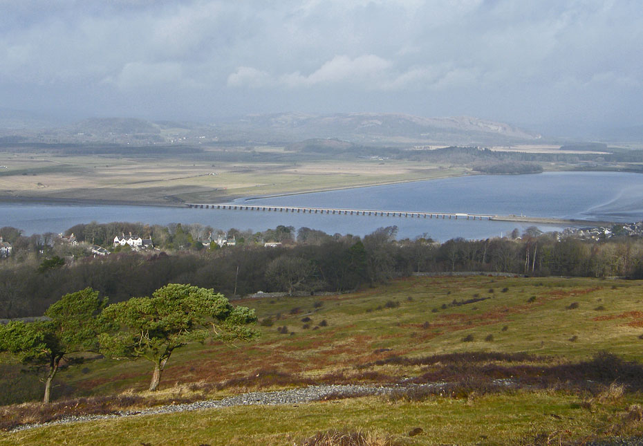
....I reach the viewpoint with views over to Grange and Hampsfell...
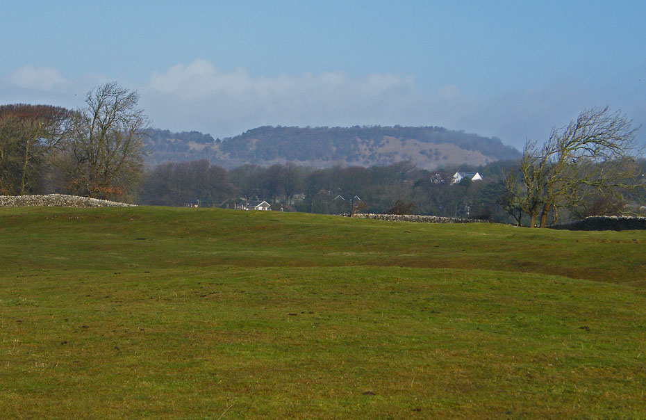
.....but sadly no Lakeland. Even Whitbarrow is just visible through the mist.
From the viewpoint it's a short climb to the summit passing that tree on the left.
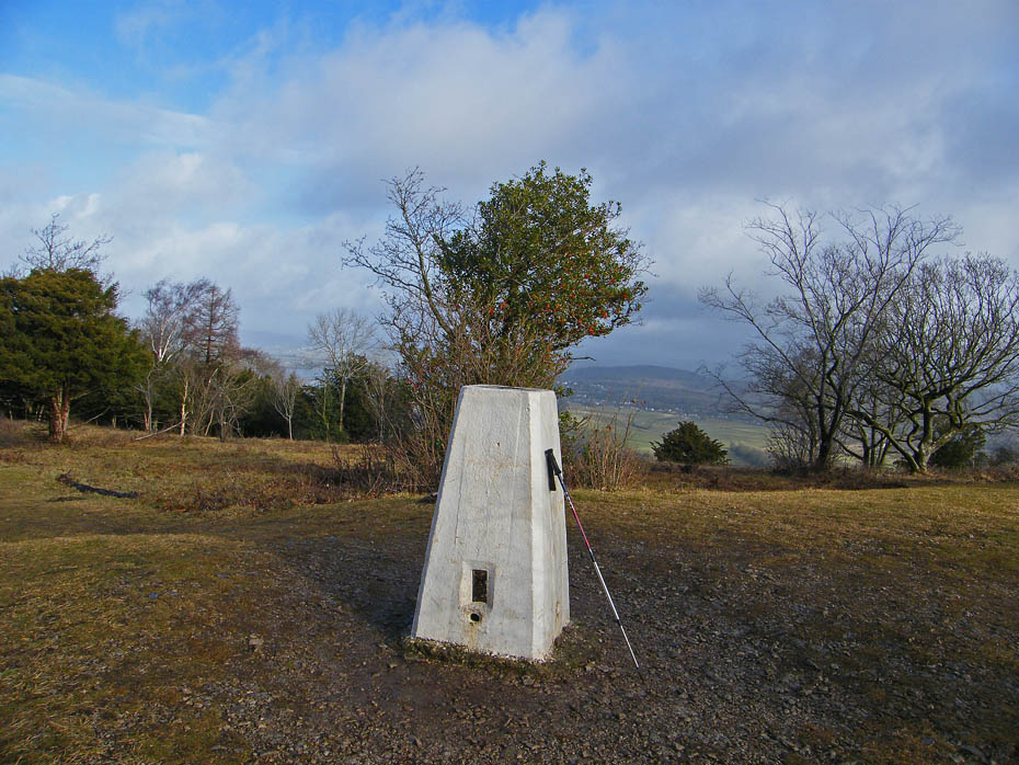
Arnside Knott summit triangulation point.
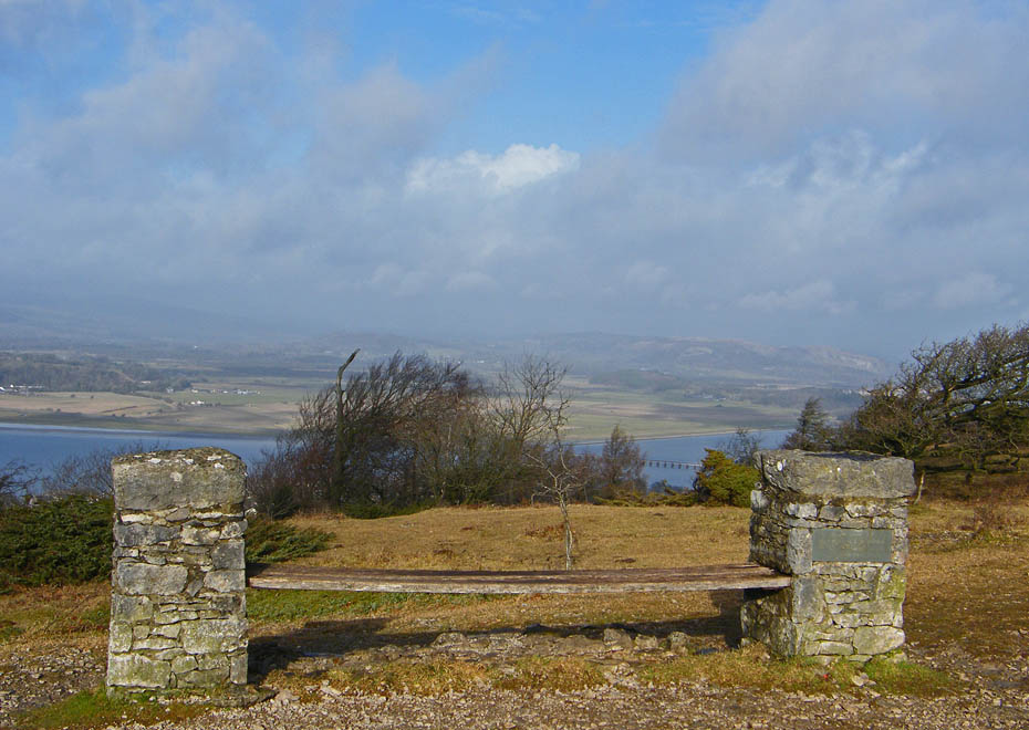
The summit seat getting ever more springy.
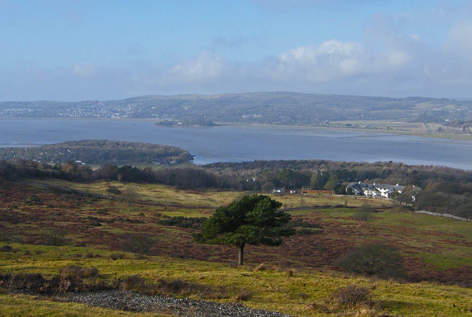
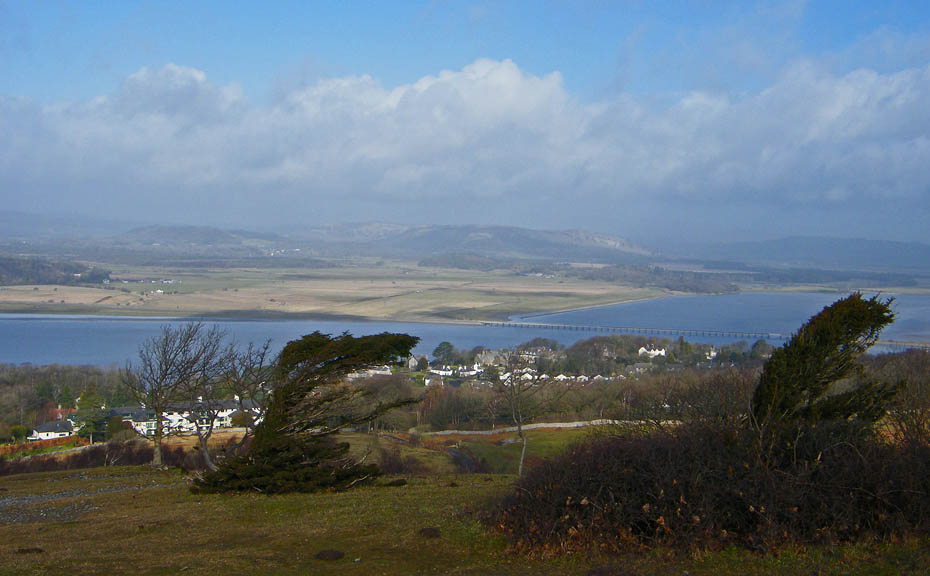
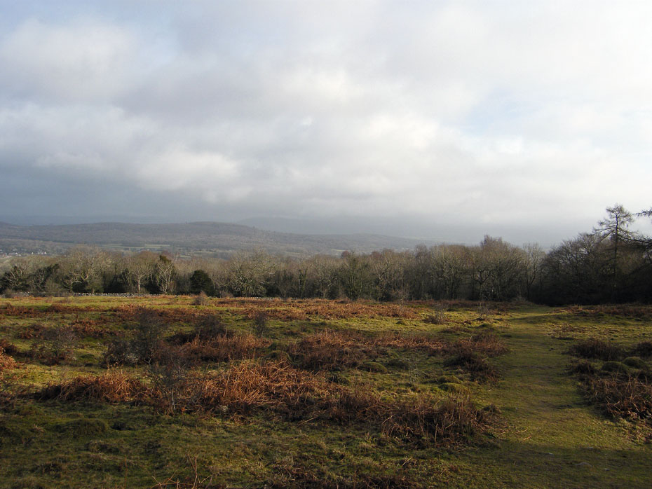
I descended to the top of Red Hills and hung about a short while but there was no chance of any distant views.
This is about as good as it got.
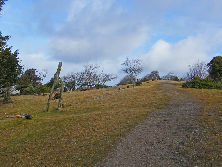
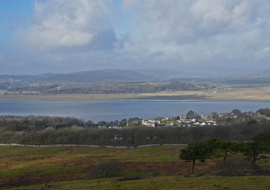
As I descended Red Hills towards the Arnside - Silverdale road it looked worse to the north and east. This route took me to a gate in the bottom corner.
Having passed through the gate keep the wall on your left until the path swings to the right to contour around to meet the road.
A look back as the sun lights up the ground.
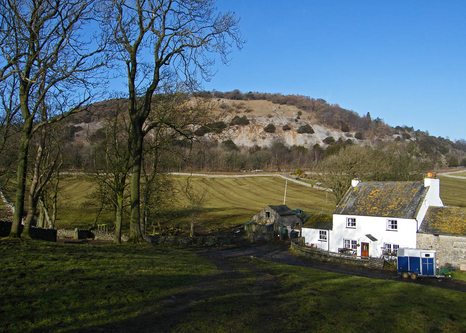
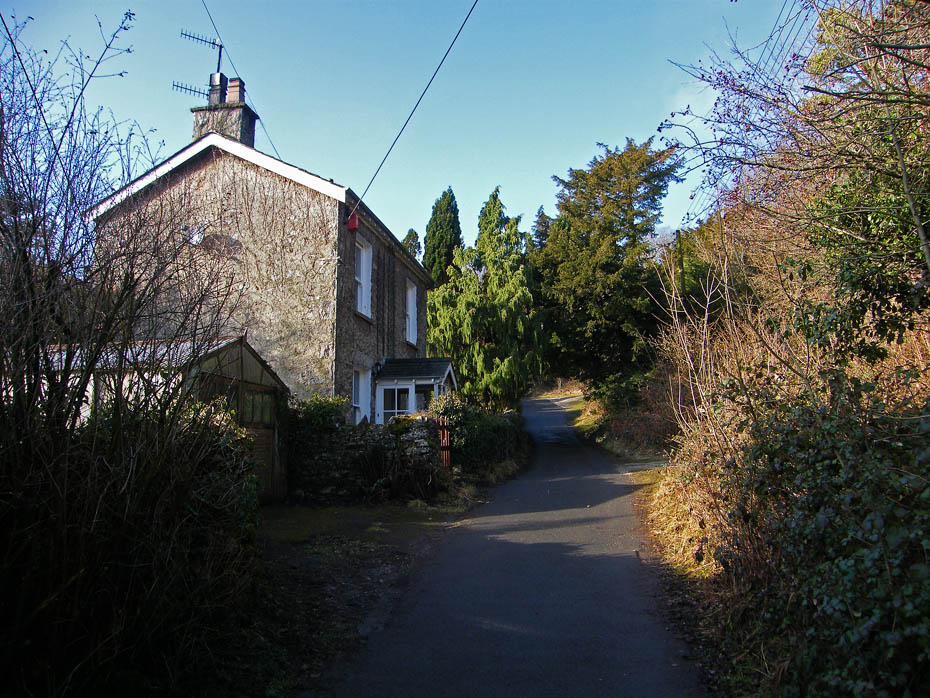
I left the Knott and walked down the Arnside - Silverdale road before turning down the lane to Arnside Tower Farm shown here.
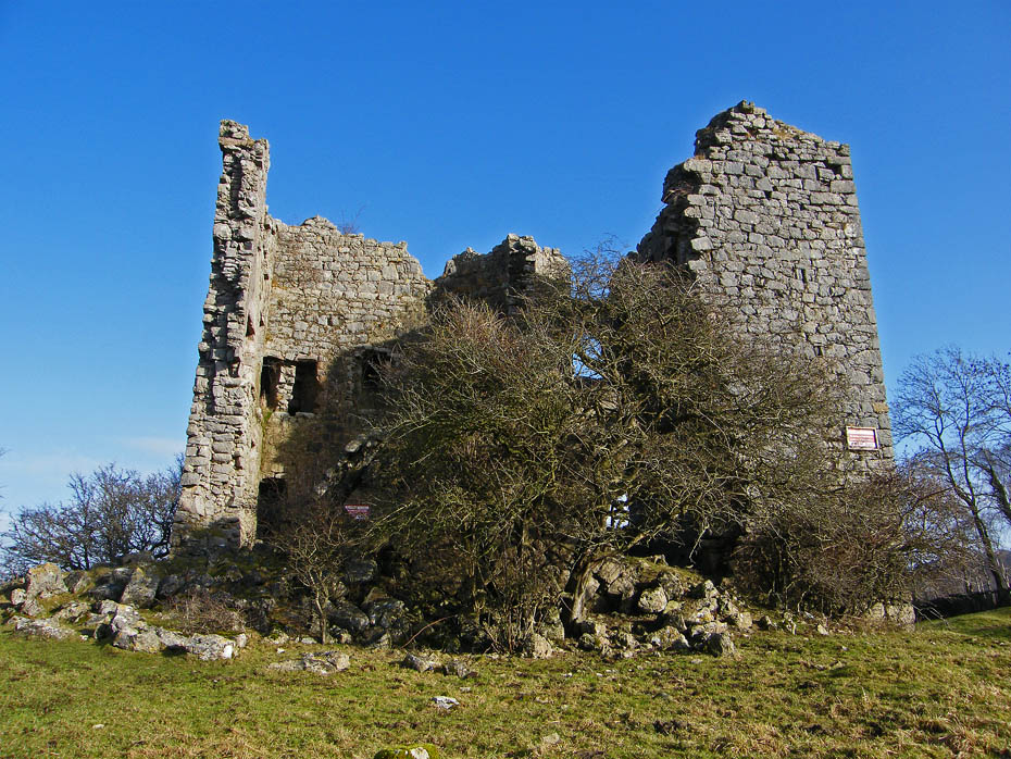
The ruins of Arnside Tower an old Pele Tower. From here I took the path upwards in Holgates Caravan Park but this time at the top of the park.
The Knott from the caravan park. The route through the top of the park is waymarked and enters the woods near the childrens play area.
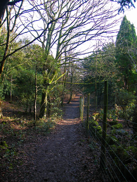
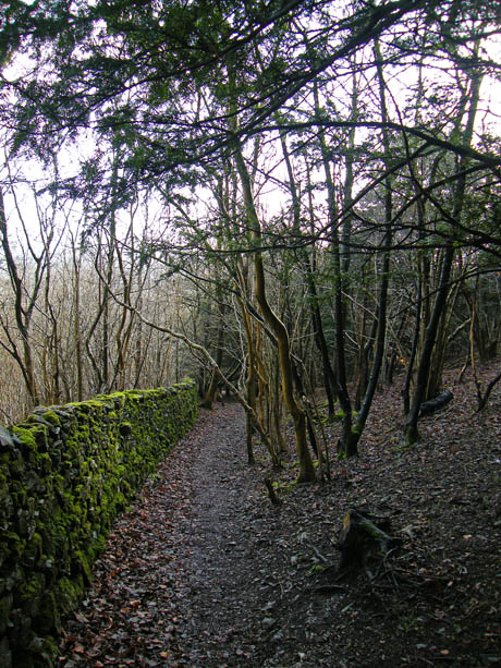
Just keep straight ahead until you pass through a wall stile then follow the path down with the deer fence on your right.
Get it right and you'll arrive at Elmslack near Silverdale from where you just follow the lane down to the main road.
At the road you should see the Methodist Church. Take the lane to its right and at the end turn right towards the village.
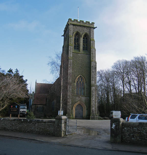
And finally.....in a few strides you will pass the Church and back to the car.
Next Walk: 3rd February 2011 - N.Lancs / S.Cumbria - The Northern Reaches
Last Walk: 29th January 2011 - Lake District - Orrest Head from Moor Howe.
Do you have a FaceBook or Twitter account? We post regular updates on both plus some additional pictures. Just click on either of the links below and add us.
![]()

We hope you have enjoyed viewing this walk. If you have any comments please sign our Guestbook or E_Mail us.
