| Area: | Yorkshire Dales | Ascent: | 350feet |
| Walk No: | 497 | Time: | 2hours 30minutes |
| Date: | 17th February 2011 | Parking: | Ribblehead |
| Distance: | 5.00miles | Weather: | Misty and mostly dull |
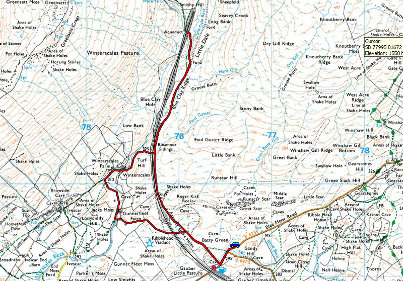
| Route: |
For those of you that are thinking of going onto the hills I would strongly recommend that you read the advice given by the Mountain Rescue organisation of England and Wales. To read this advice, which will open in a new page please click HERE. If you would like to make a donation to the Mountain Rescue organisation which is purely voluntary please click HERE. Please make the time to read the advice page.
One of those days today. We set off from home for Arnside on a dullish morning but when we got there we could barely see across the estuary. Having seen what appeared to be brighter weather to the east we set off for Ribblehead. It wasn't the brightest of mornings there but it's been a while since we visited the Dales.
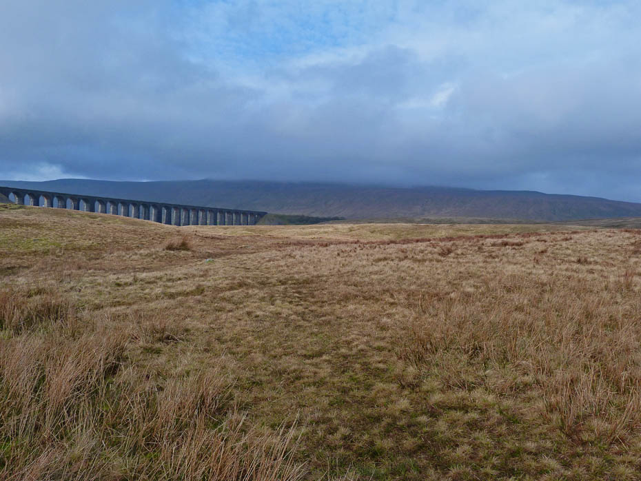
Whernside and the Ribblehead viaduct from our parking space.
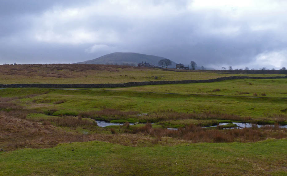
Again from the parking spot a look over Gauber to Park Fell, the northern extremity of the Ingleborough massif.
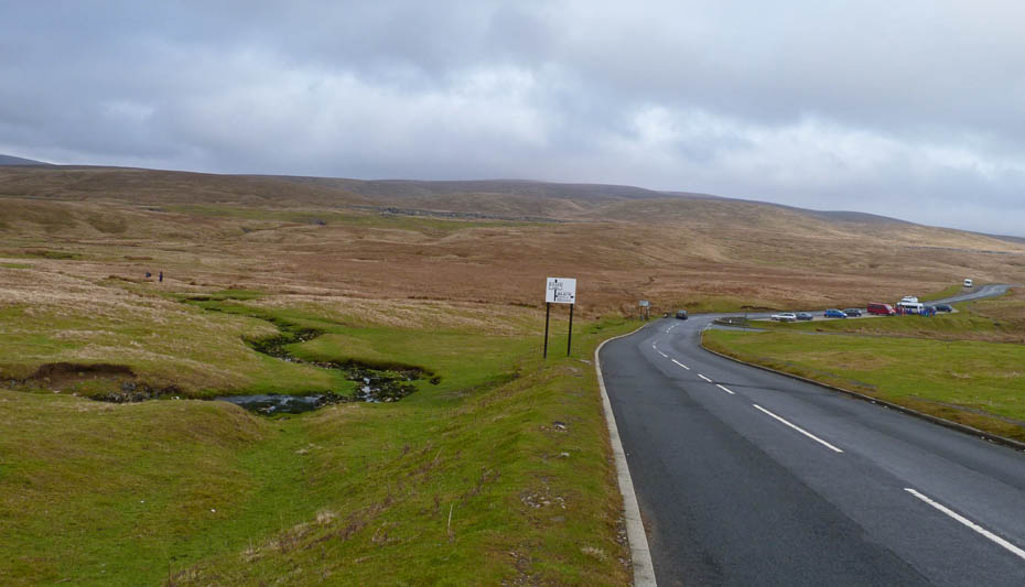
A look back to the car as we made our way towards the viaduct.
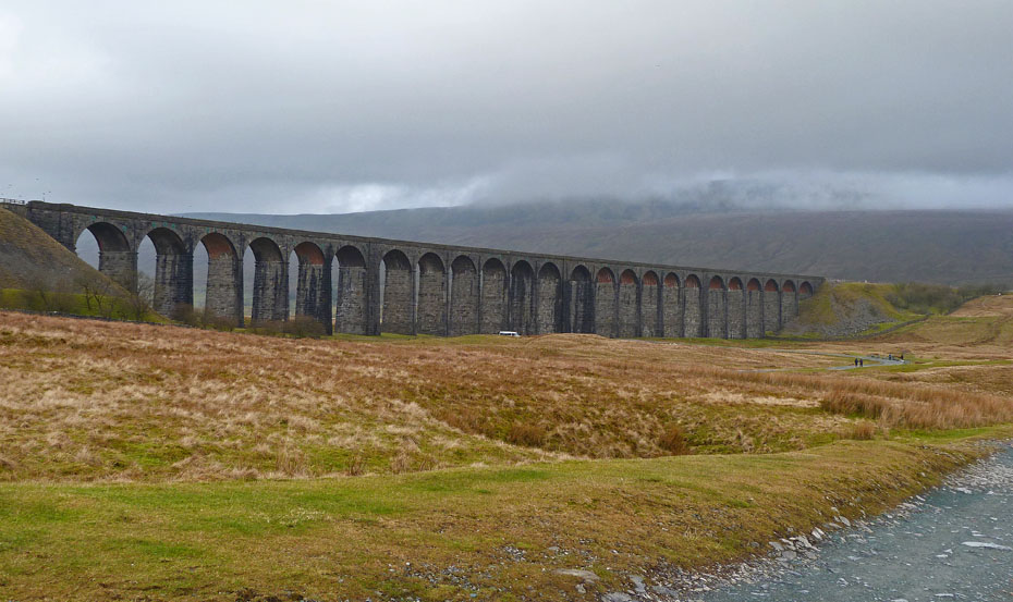
The Ribblehead Viaduct. I won't go into the history or statistics, they are well chronicled elsewhere on the website.
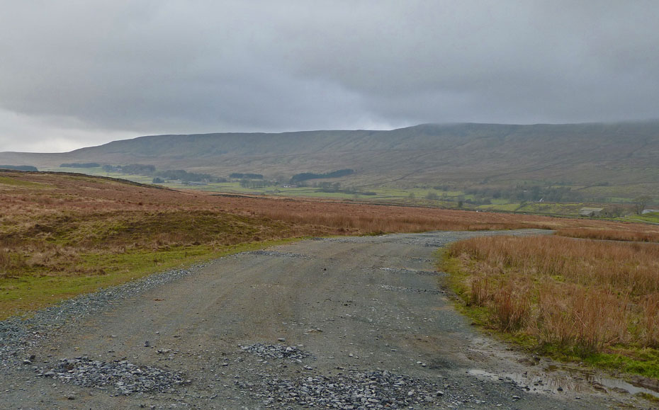
We walked under the viaduct towards Gunnerfleet Farm.
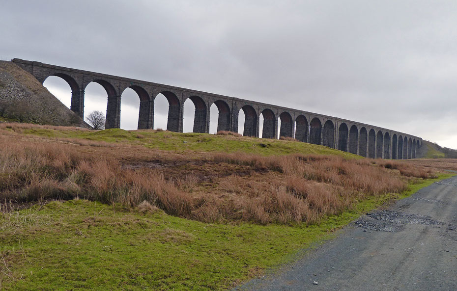
A look back to the viaduct.
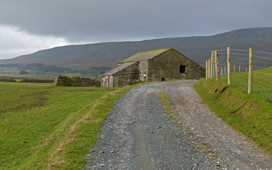
Approaching Gunnerfleet Farm with West Fell behind.
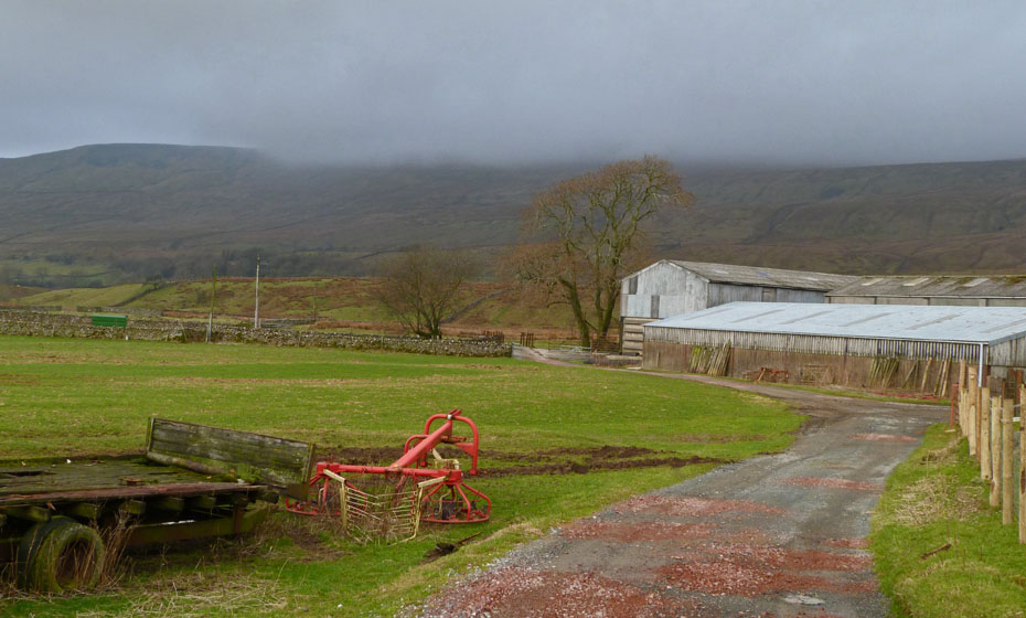
Gunnerfleet Farm with Whernside behind.
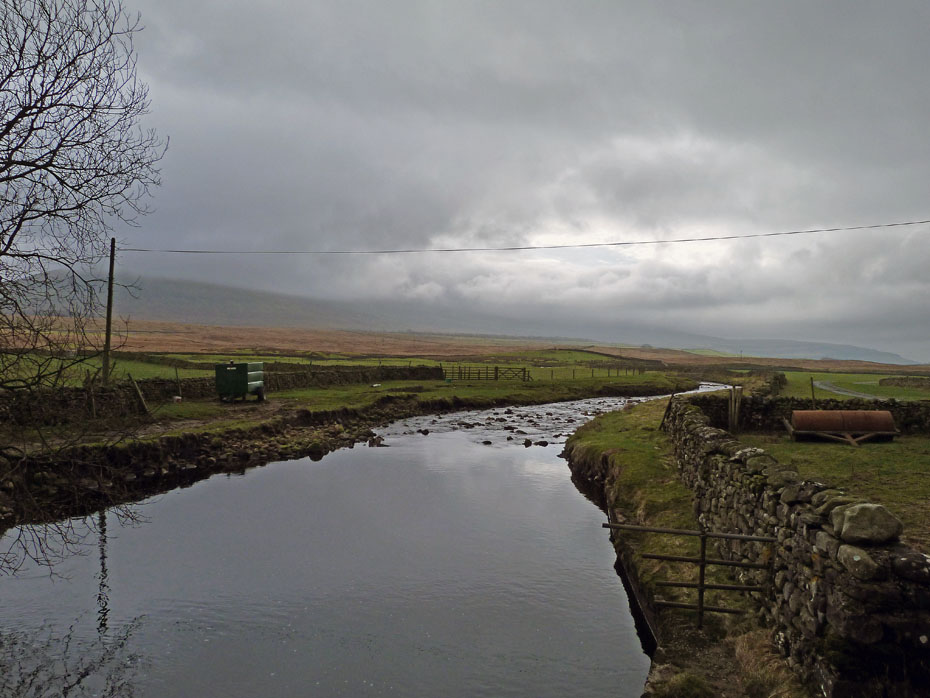
Crossing Winterscales Beck. There's a lovely view of Ingleborough from here.......honest!!!
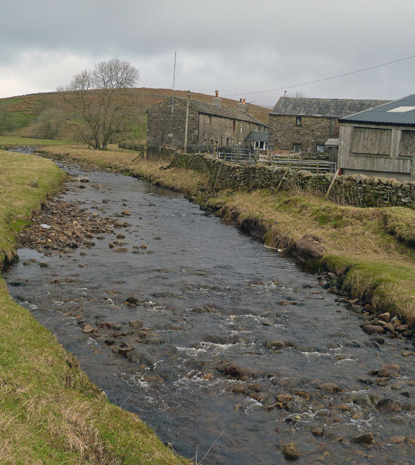
We followed the lane up towards Winterscales Farm.
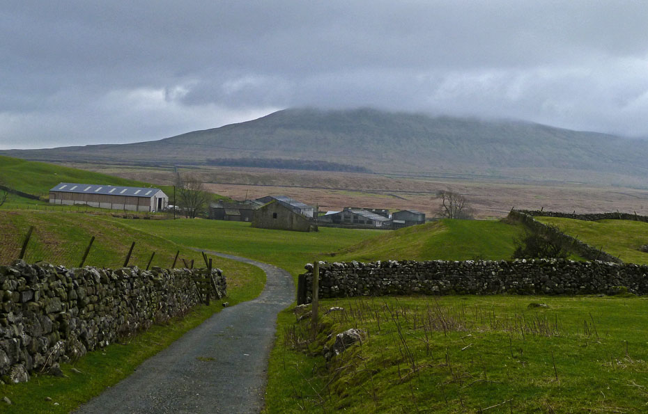
A look back over Gunnerfleet to Park Fell.
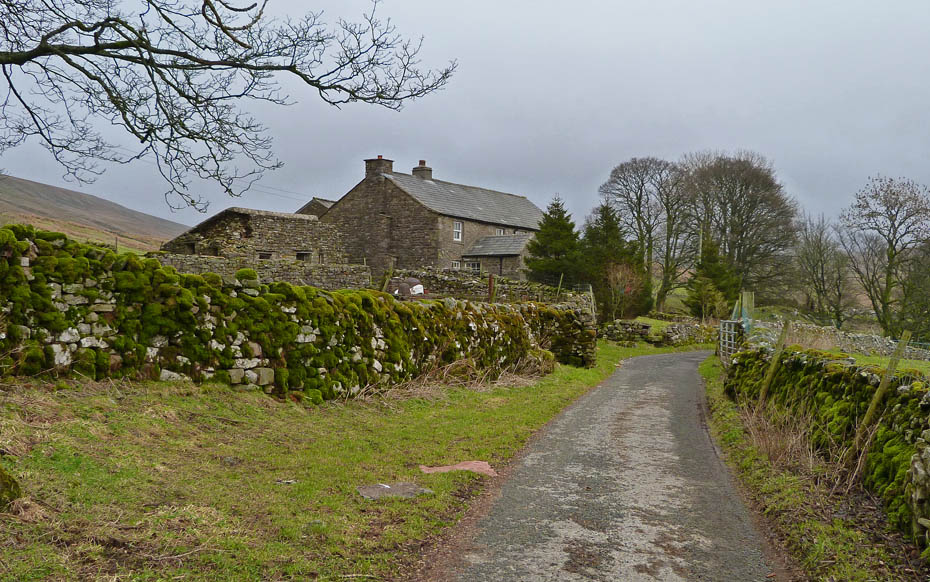
Approaching Winterscales farm.
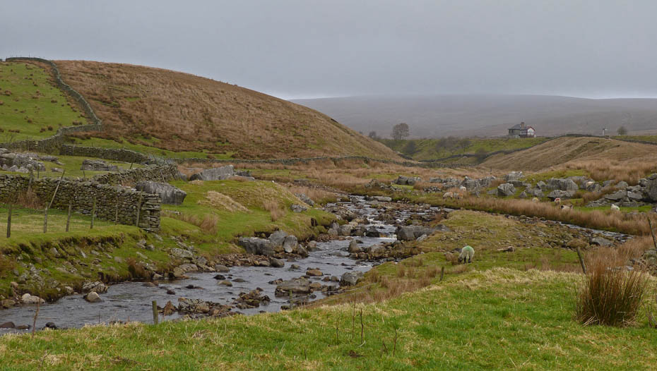
Having crossed the beck we followed the track towards the Blea Moor sidings.
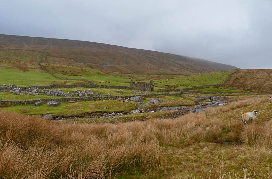
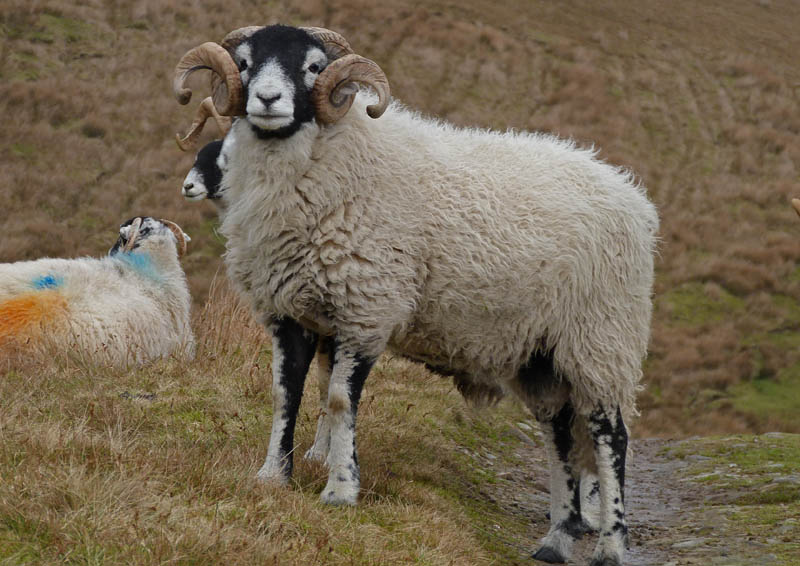
A local stands guard along the track.
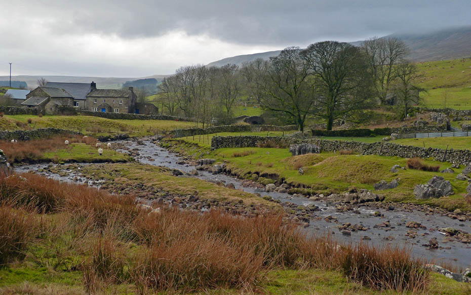
A look back to Winterscales
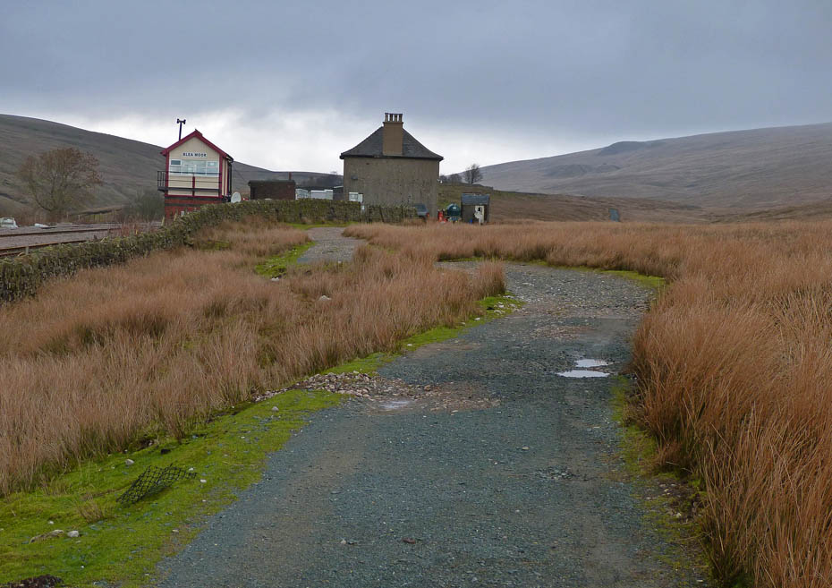
Our path from Winterscales passed under the Settle - Carlisle railway line to join the popular 3Peaks path towards Whernside. We decided to follow it for a while.
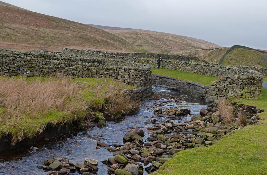
We followed the path for a while as far as the aqueduct carrying Force Gill over the railway line.
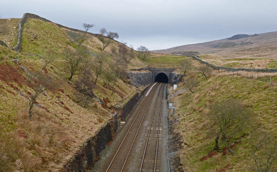
The entrance to Blea Moor Tunnel. The tunnel is 2629 yards long and was constructed with the aid of seven separate construction shafts sunk from the moor above. This allowed 16 gangs of workers to be used in its construction, one from each end and two from the foot of each shaft. Four of the shafts were later filled in and three retained for ventilation purposes. The tunnel took around 4 years to construct and passes around 500' below the moor at its deepest.
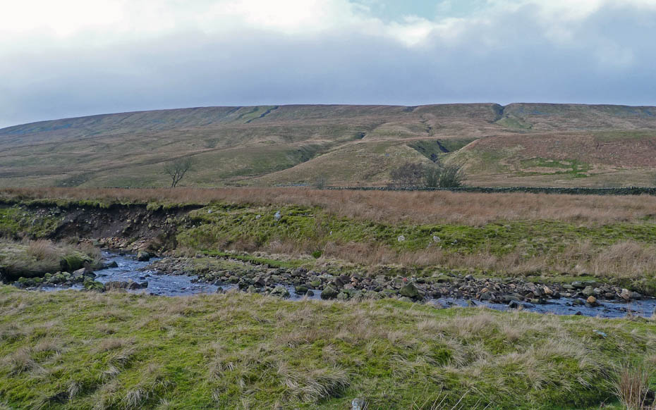
Winterscales pasture as we start back.
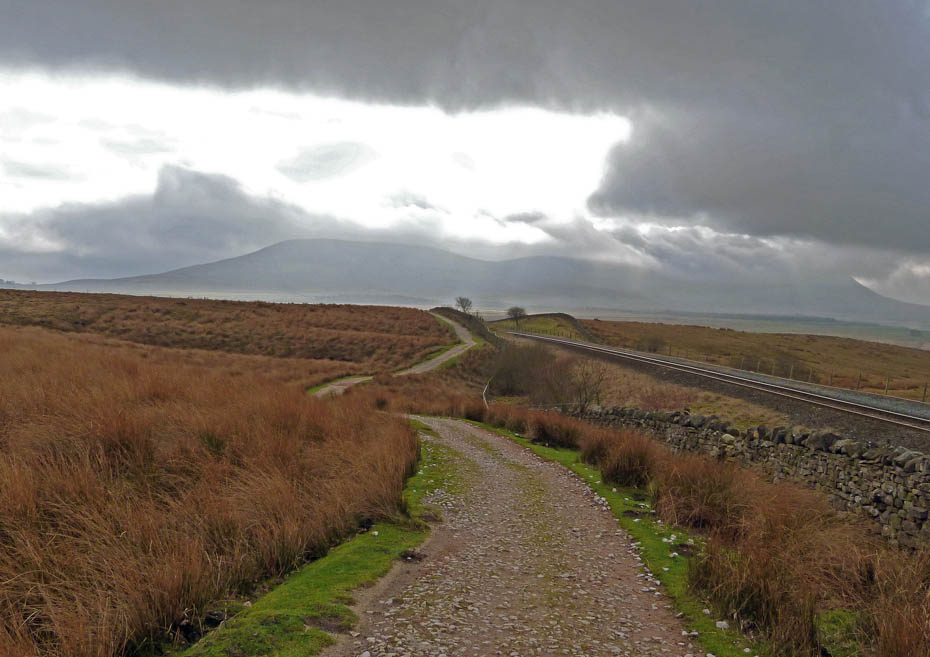
Directly into the light, the Ingleborough massif lies ahead as we make our way back.
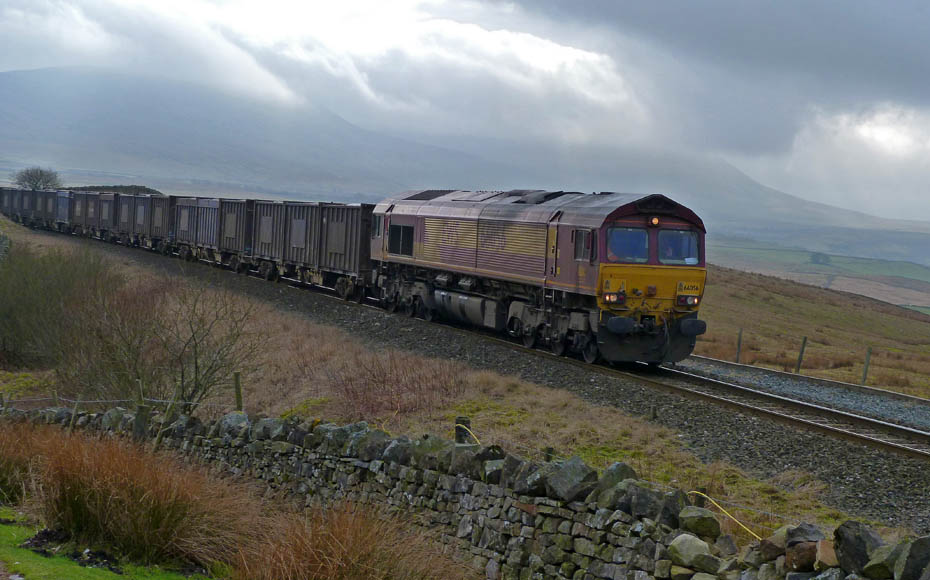
A goods train passes by. The Settle - Carlisle Railway ---- The line is probably the most scenic railway journey in England. It has survived two attempts to close it - once in the early 1960s and later in the 1980s. Both attempts caused local and national outrage. However, fortunes have now changed as millions of pounds have been spent upgrading tracks and stations. The line opened in 1876 - we hope the line is here for many more generations to come. More Info.....HERE
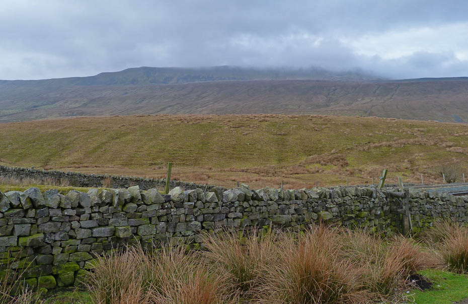
This is about as good as it got. Whernside nearly makes an appearance.
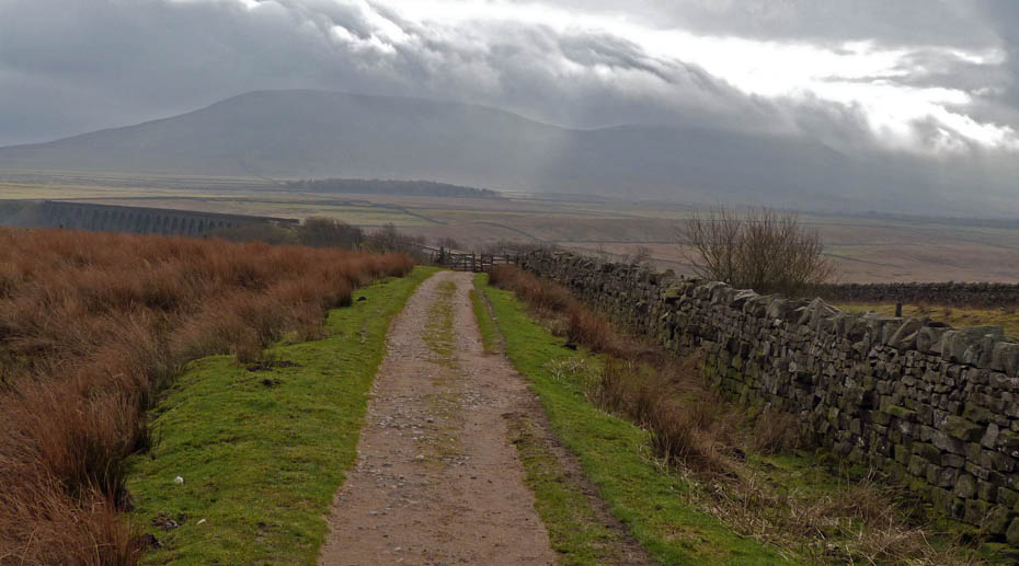
Ingleborough remains in cloud however as we approach the viaduct.
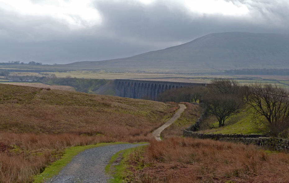
Almost back as we drop a little more steeply.
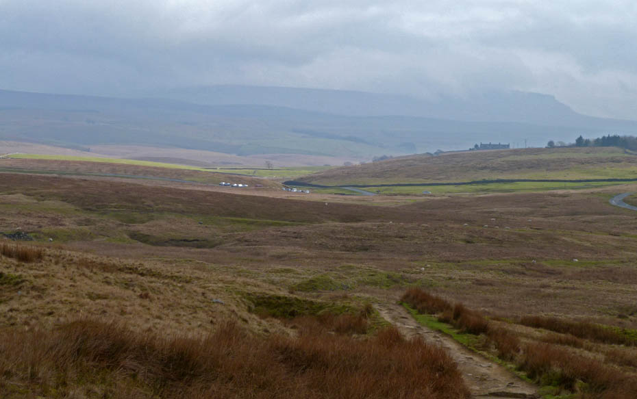
The cars were catching some sun whilst Pen y ghent was just visible over Gauber.
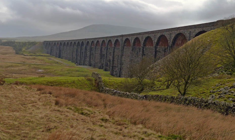
Park Fell towers over the Ribblehead viaduct.
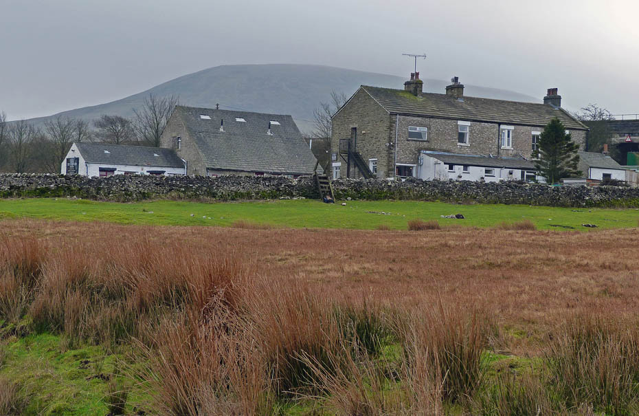
The Station Inn. The snack bar near the parking space wasn't in attendance today so we did pop in here.
Next Walk: 20th February 2011 - Arnside & Silverdale AONB - A dour day at Arnside
Last Walk: 16th February 2011 - Lake District - A Wray wander
Do you have a Facebook or Twitter account? We post regular updates on both plus some additional pictures. Just click on either of the links below and add us.
We hope you have enjoyed viewing this walk. If you have any comments please sign our Guestbook or E_Mail us.