
| Area: | NW Lancashire | Ascent: | 160feet |
| Walk No: | 507 | Time: | 2hours 15minutes |
| Date: | 21st March 2011 | Parking: | Crook O'Lune picnic site |
| Distance: | 4.50miles | Weather: | Dull and misty. |
| Route: |
For those of you that are thinking of going onto the hills I would strongly recommend that you read the advice given by the Mountain Rescue organisation of England and Wales. To read this advice, which will open in a new page please click HERE. If you would like to make a donation to the Mountain Rescue organisation which is purely voluntary please click HERE. Please make the time to read the advice page.
The plan today had been to visit the Forest of Bowland for a short walk but that was quickly shelved when we awoke to a dull and misty morning. We also needed to sort out a new fridge as the current one is close to giving up the ghost and my weekly Anti-TNF medication as to be kept between 2°C and 6°C. We therefore decided on this walk along the River Lune from the Crook O'Lune which left us plenty of time to sort out a new fridge.
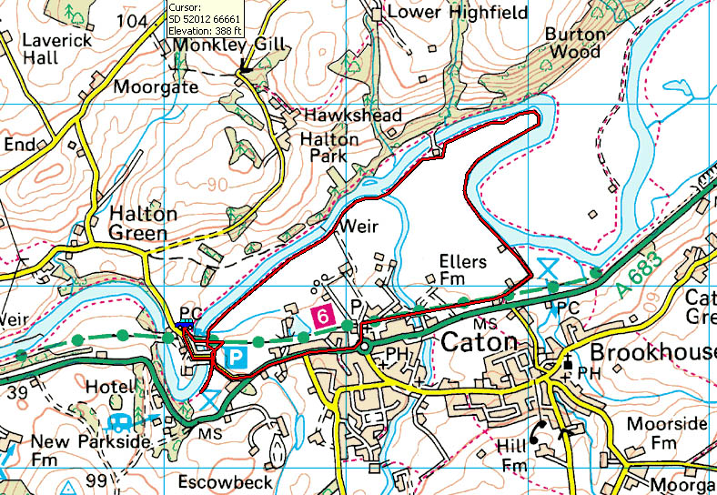
Route Map
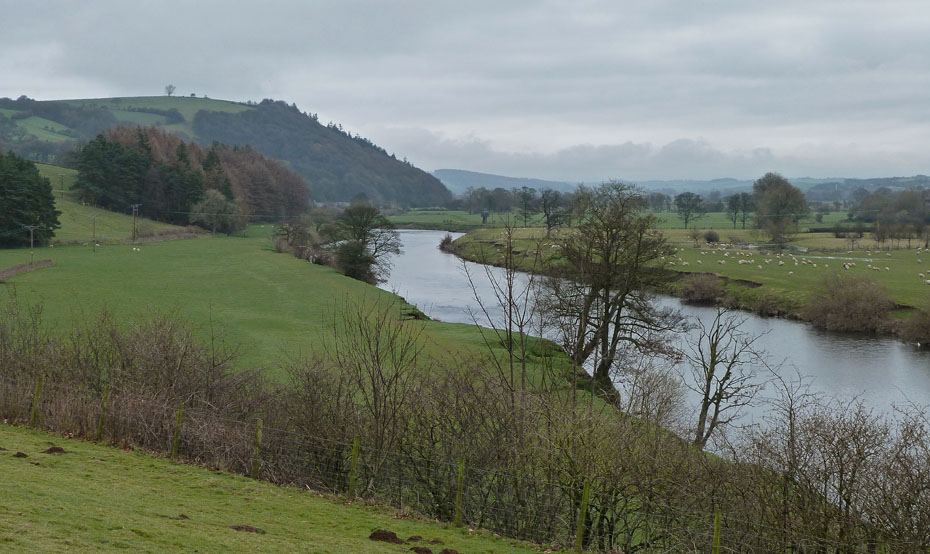
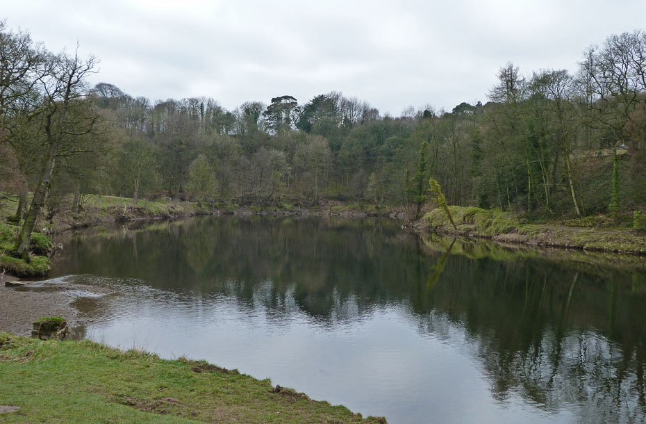
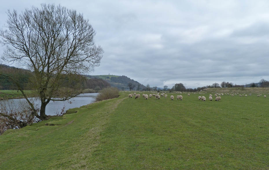
A misty look up the Lune valley from the Crook O'Lune picnic site. Ingleborough is conspicuous by its absence.
Across the Lune towards Caton and the wind-farm on Caton Moor.
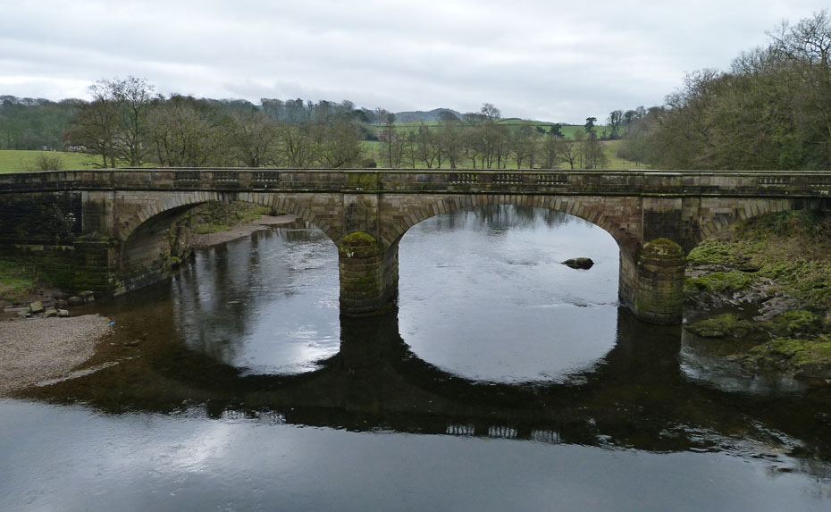
We left the picnic site to walk over the old railway bridge and down to the Crook O'Lune. Shown here is the road bridge with the Crook O' Lune behind.
With the dull conditions and a light breeze any chance of reflections were poor.
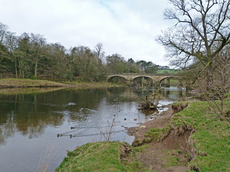
We headed back to the road bridge to access the river bank on the other side.
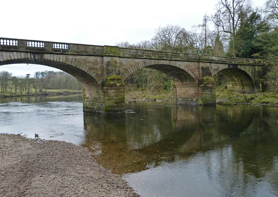
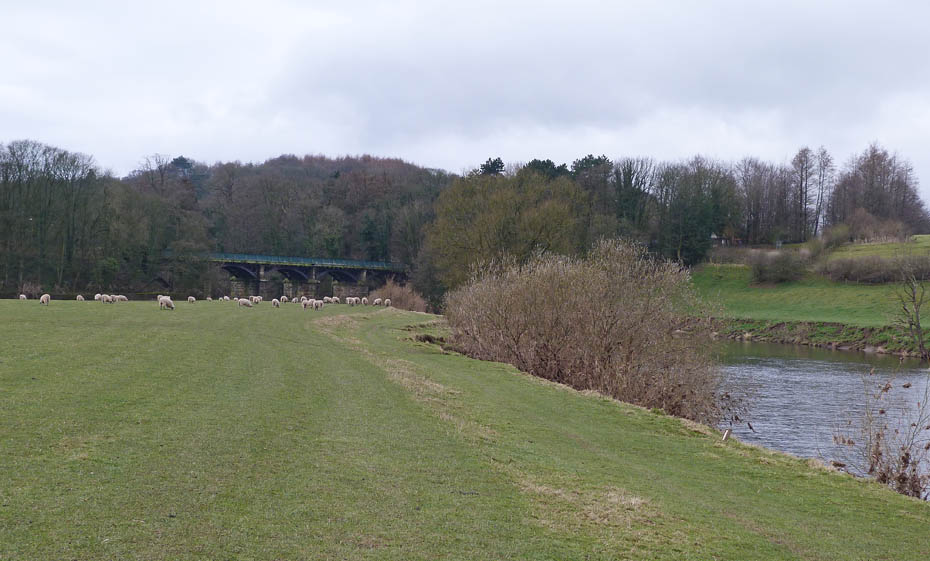
From here there is a walkway under the old railway bridge which is behind me.
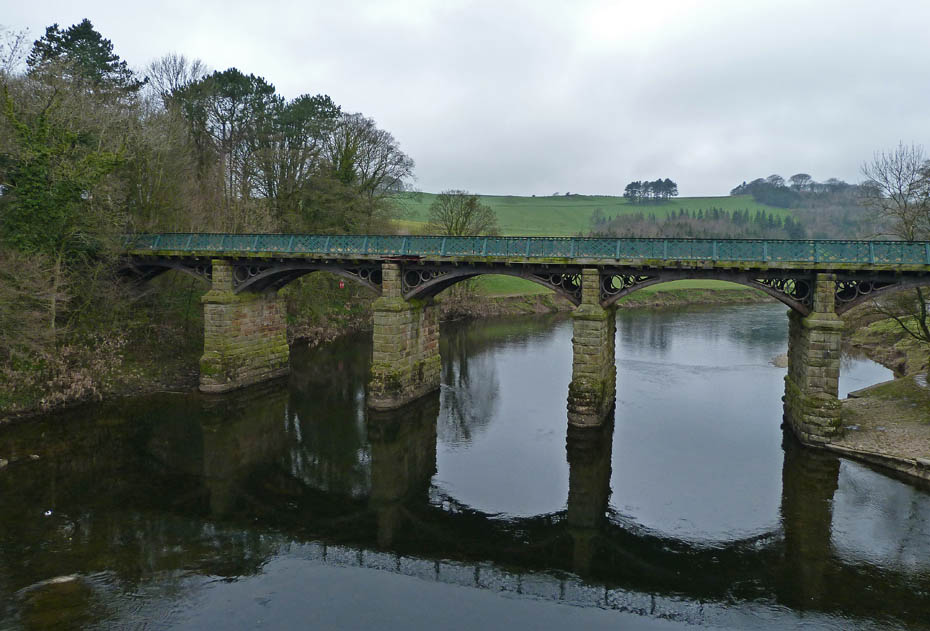
The old railway bridge with the walkway on the left.
It's grand to be out and about but the day hasn't got a lot going for it.
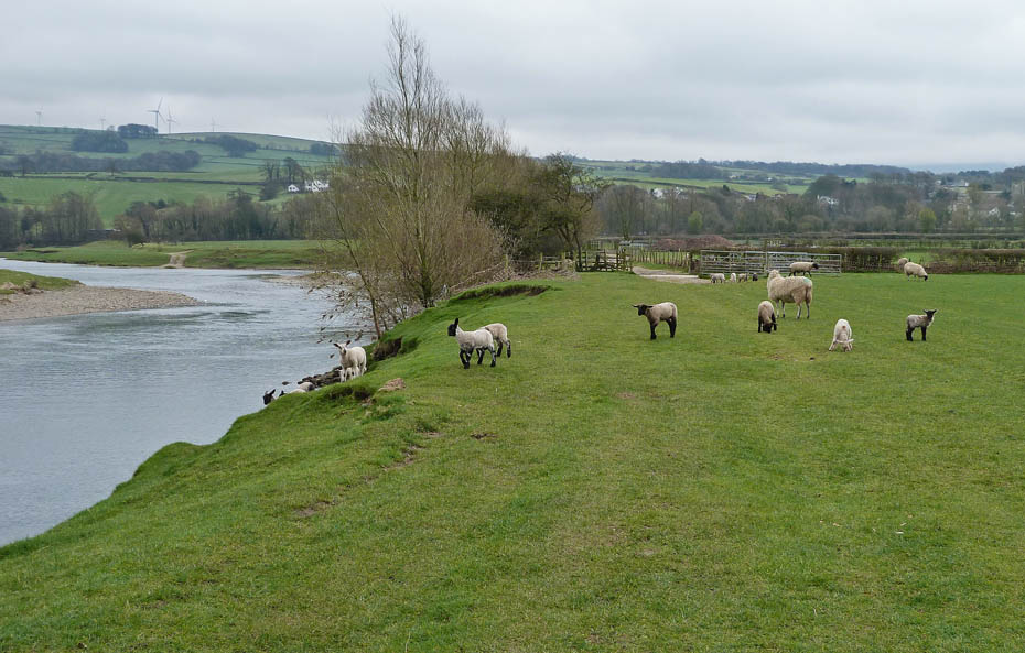
The walk just follows the river bank.
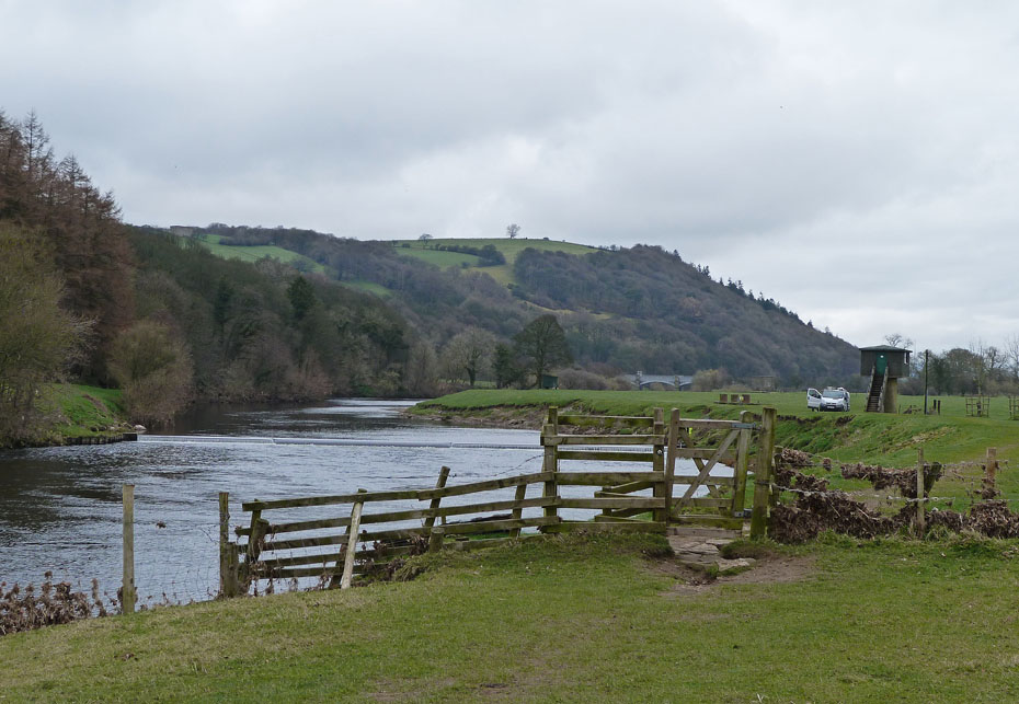
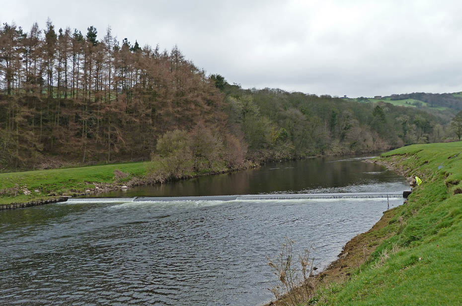
Approaching the weir and flow measuring station where a couple of workers are checking things over.
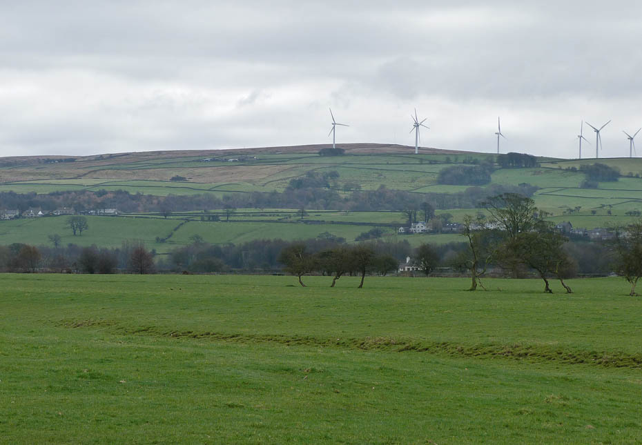
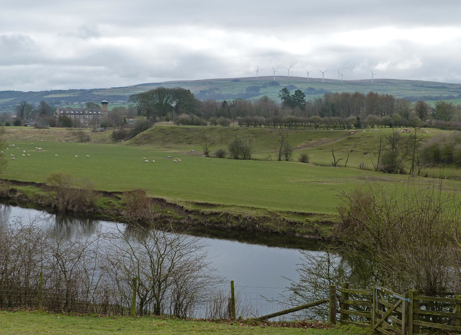
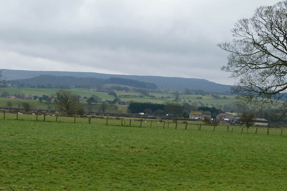
Caton Moor
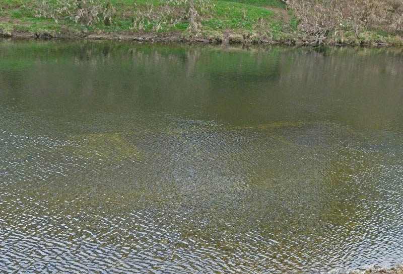
Now I've walked this length of the river scores if not hundreds of times over the years but this is the first time I've noticed what appears to be a concrete structure in the shape of 3 "boxes" joined together under the surface. I know that we have readers from this area. If anybody could throw some light on what it is/was I would appreciate it.
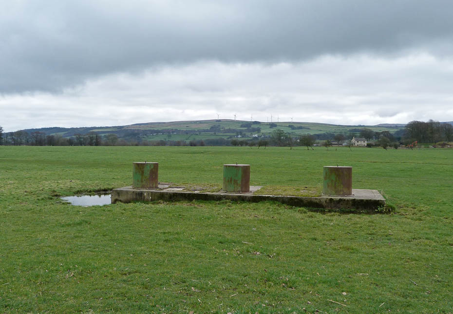
It could and probably is be linked to this structure which is on the riverbank nearby.
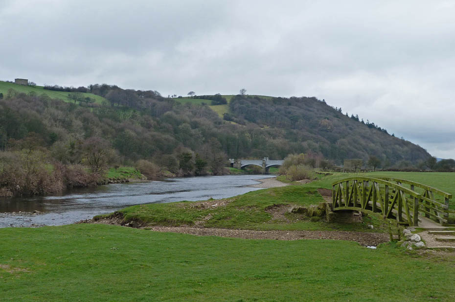
Puzzled we carry on over the bridge over Artle Beck towards the Waterworks Bridge.
A look towards Clougha
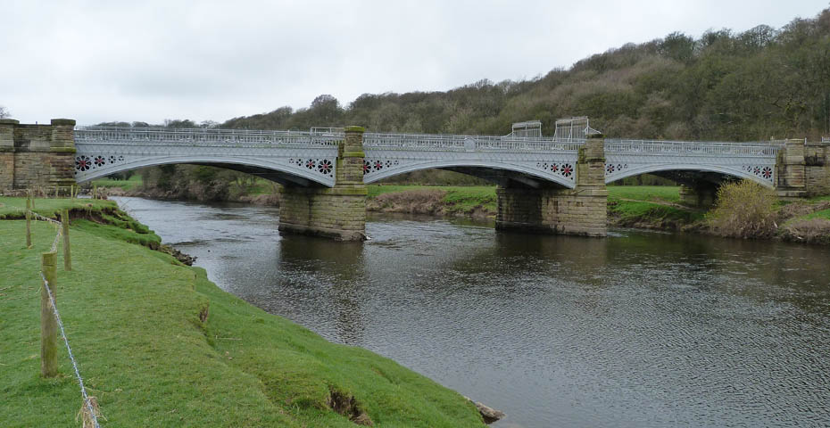
The Waterworks Bridge which carries Lakeland water to the thirsty folk of Manchester. My original plan had been to cross the bridge and walk back along the other bank, but with the sound of lambs coming from the region of Bull Beck we decided to carry on.
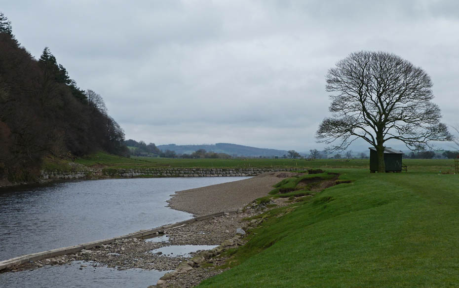
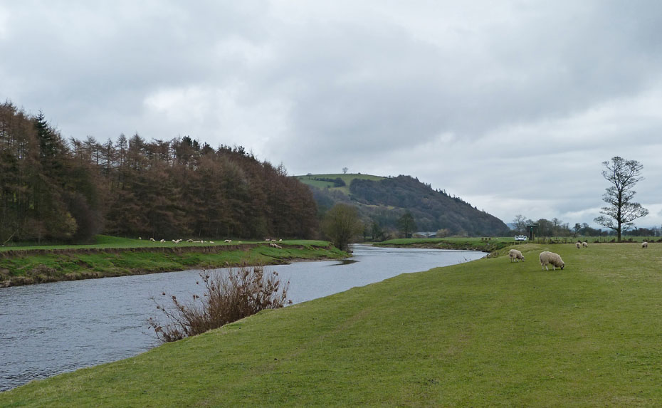
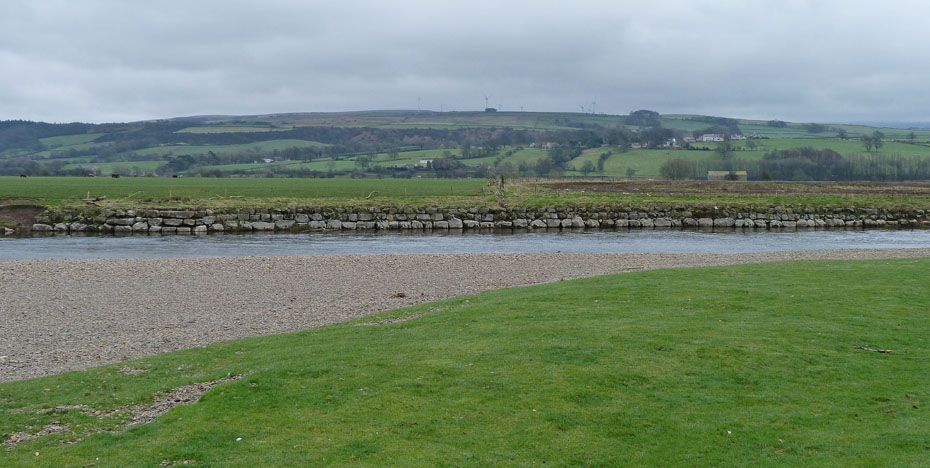
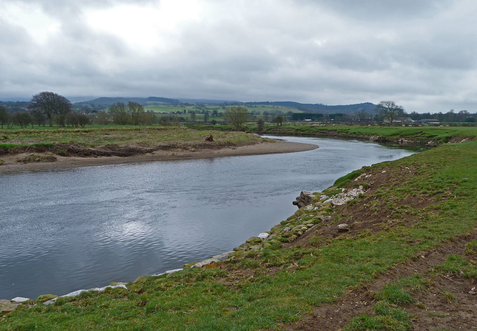
We are now approaching the 180° bend in the river.
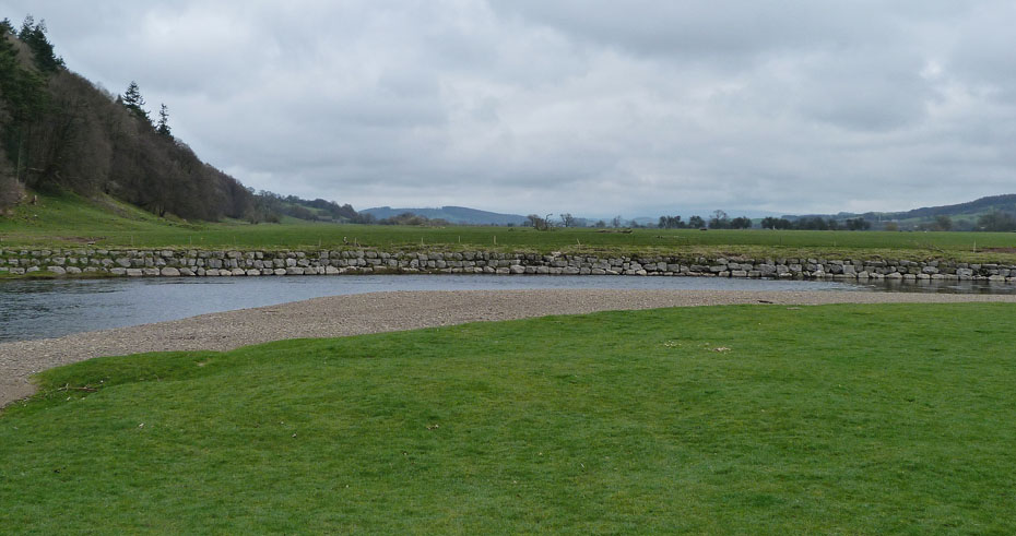
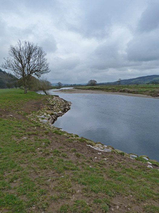
The far bank is reinforced with stone blocks to prevent erosion. Still no sign of Ingleborough :-(
It is a sharp bend and within a few paces we have turned through 90° to face Caton Moor.
A few paces more and we are heading back to the car.
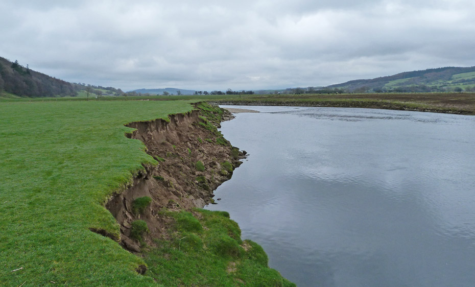
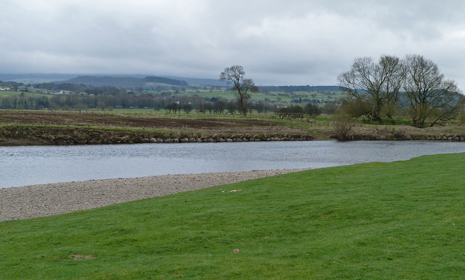
A look back shows the erosion that happens in times of flood.
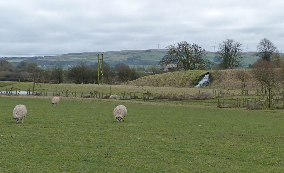
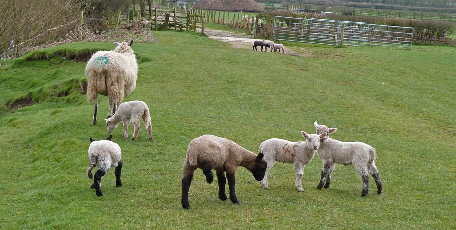
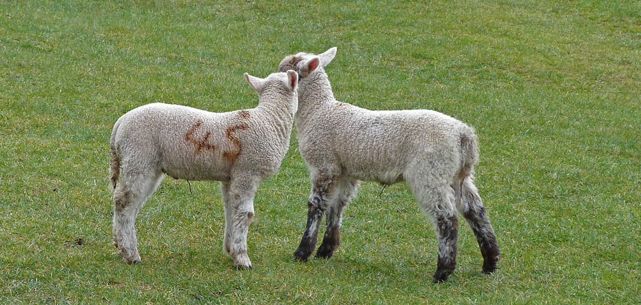
The lambs are getting louder.
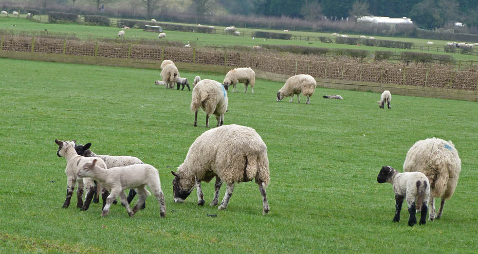
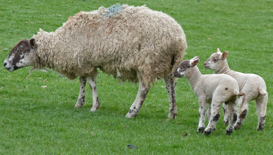
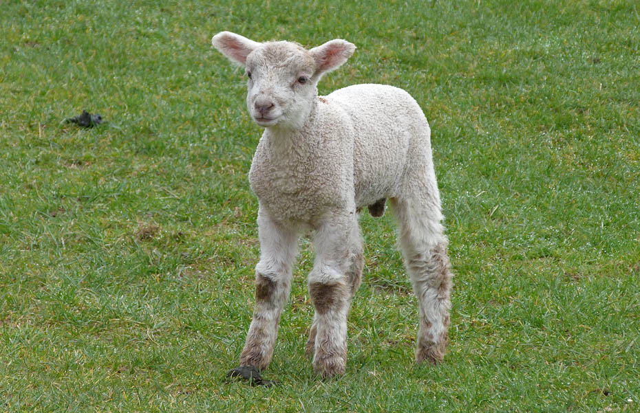
What do you call a group of lambs up to no good....maybe a gang.
We left the river to take this lane which took us to....
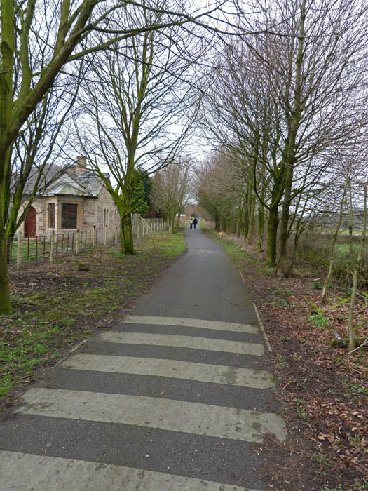
....the old railway line, now a footpath & cycleway.
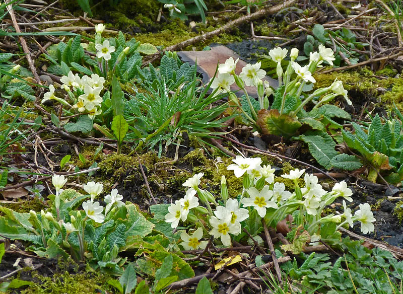
First Primroses.
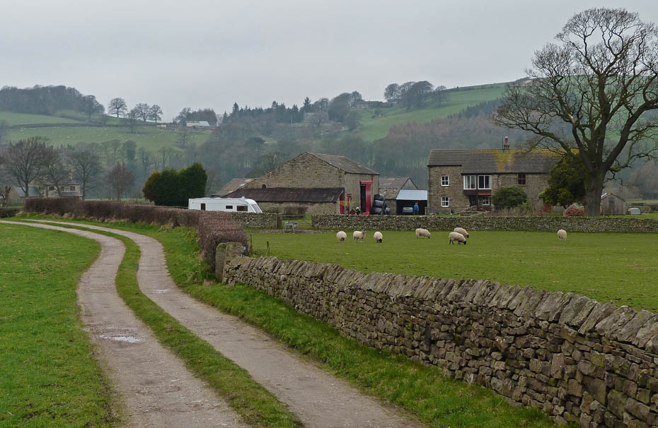
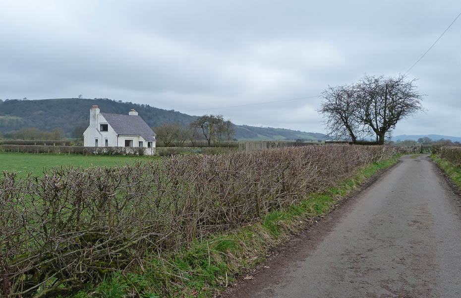
Ellers Farm.
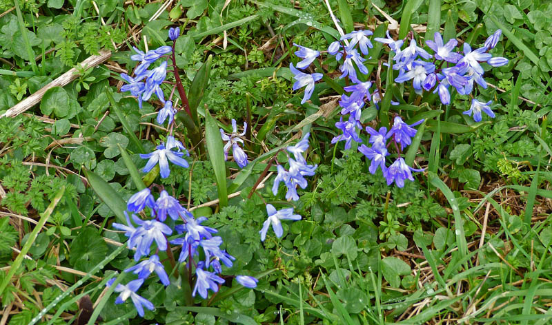
We spotted these at the side of the track.......Chionodaxa ....thanks to Jill Batchelor from the OFC and other Facebook friends in helping identify.
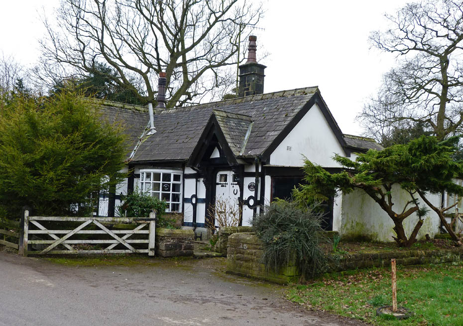
We left the track to walk through Caton at Station House.
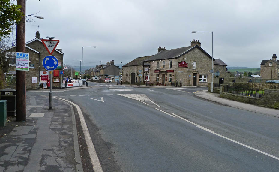
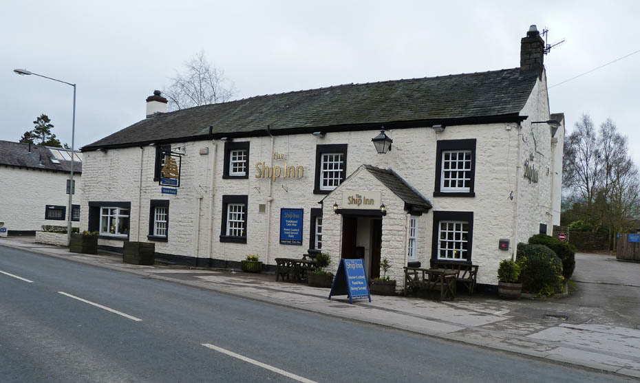
The Station Inn.....
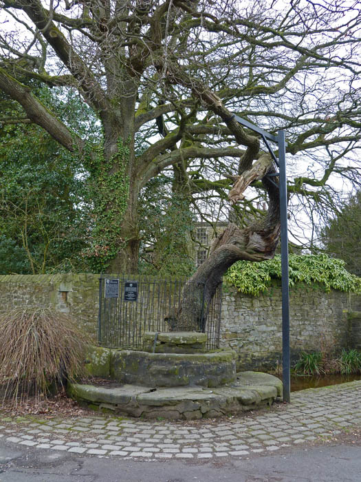
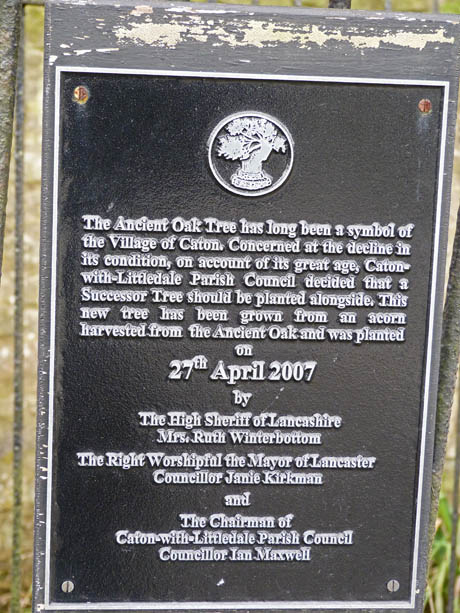
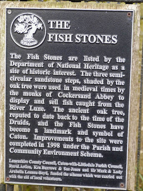
....nearby the Oak Tree and The Fish Stones......explained below.
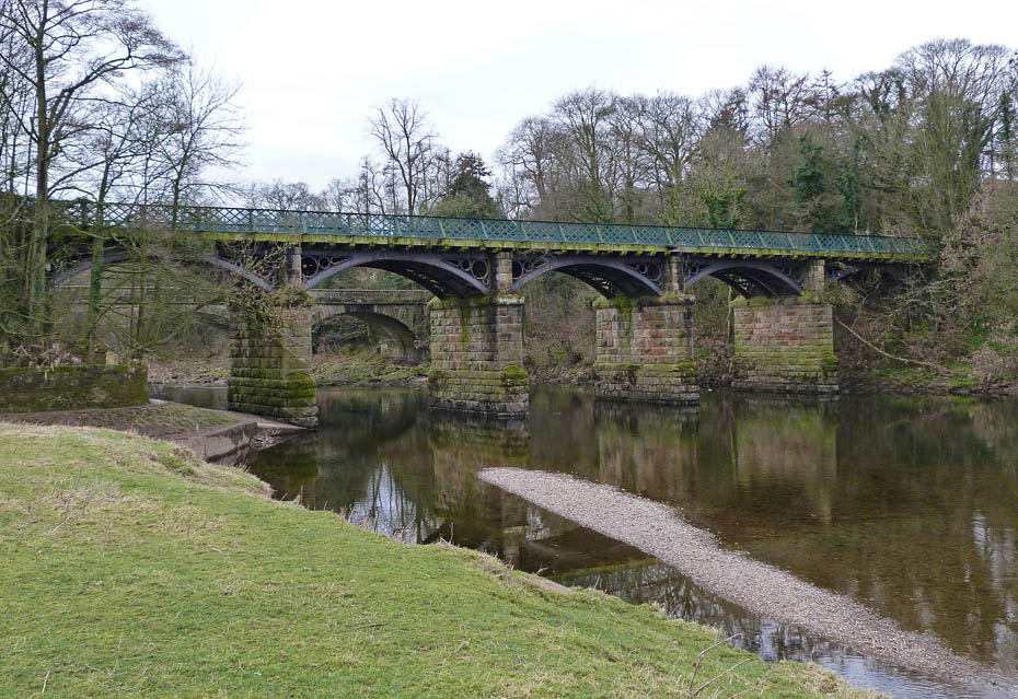
Nearly back to the car. The old railway bridge from the road bridge.
Latest News
Unfortunately this bridge was closed on the 21st March 2011 for safety reasons. An inspection of the bridge was carried out following concerns regarding the deterioration of its condition and it has been confirmed that it is unsafe for future use. Options for the refurbishment of the bridge are being considered and further information regarding a programme of works will be communicated when it becomes available. In order to protect cyclists and pedestrians an alternative pedestrian route is being provided across the Caton Lune Bridge. A 30mph speed restriction, temporary traffic lights and single way traffic will be installed from Monday 21st March on Caton Lune Bridge, to allow the creation a marked pedestrian area alongside the traffic. The River Lune Cycleway will unfortunately have to be closed at Crook 'O' Lune Bridge.
So we must have just beaten the closure order!!!!
Next Walk: 22nd March 2011 - NW Lancashire - Sunderland Point from Middleton
Last Walk: 19th March 2011 - Yorkshire Dales - A walk at Malham Tarn
Do you have a Facebook or Twitter account? We post regular updates on both plus some additional pictures. Just click on either of the links below and add us.
![]()

We hope you have enjoyed viewing this walk. If you have any comments please sign our Guestbook or E_Mail us.
