
| Area: | Yorkshire Dales | Ascent: | 365feet |
| Walk No: | 506 | Time: | 1hour 45minutes |
| Date: | 19th March 2011 | Parking: | Malham Tarn |
| Distance: | 4.00miles | Weather: | Fine & Sunny to start, becoming cloudier |
| Route: |
For those of you that are thinking of going onto the hills I would strongly recommend that you read the advice given by the Mountain Rescue organisation of England and Wales. To read this advice, which will open in a new page please click HERE. If you would like to make a donation to the Mountain Rescue organisation which is purely voluntary please click HERE. Please make the time to read the advice page.
After yesterdays short walk at Tarn Hows and Coniston there seemed to be no major reaction with the knee or ankle. The ankle was slightly "puffy" but the knee is OK as long as I don't twist on it. I therefore fancied doing something a bit longer but on fairly level ground. This walk at Malham Tarn seemed to fit the bill.
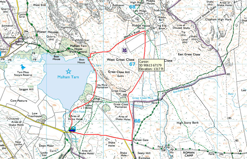
Route Map
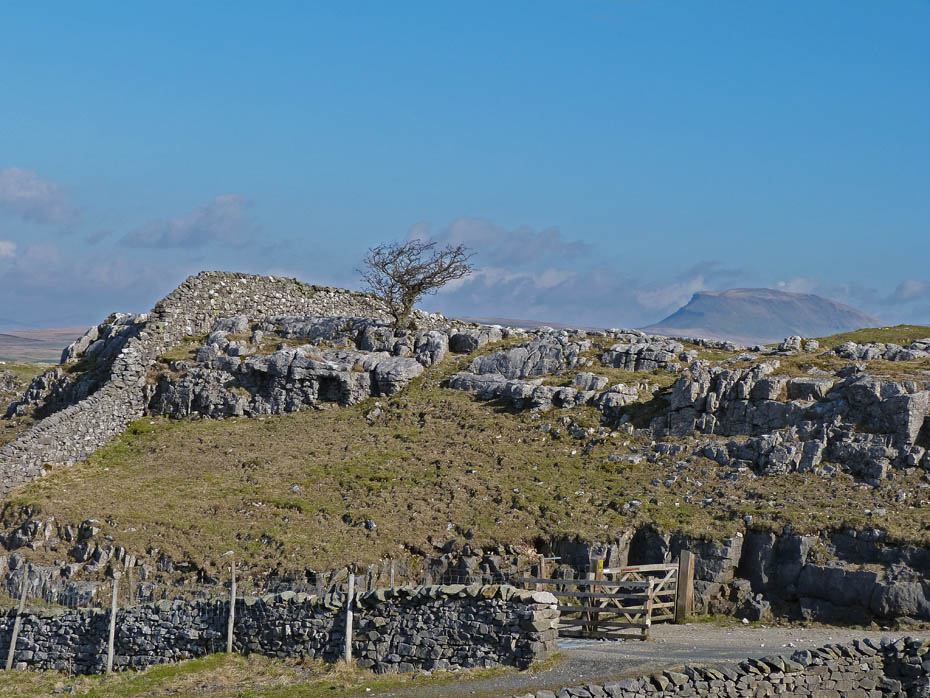
We took the minor road to Malham Tarn from Langcliffe near Settle and along the way I stopped the car for a look around. Here Pen y ghent peeks over a rocky outcrop near the lane to Upper Winskill.
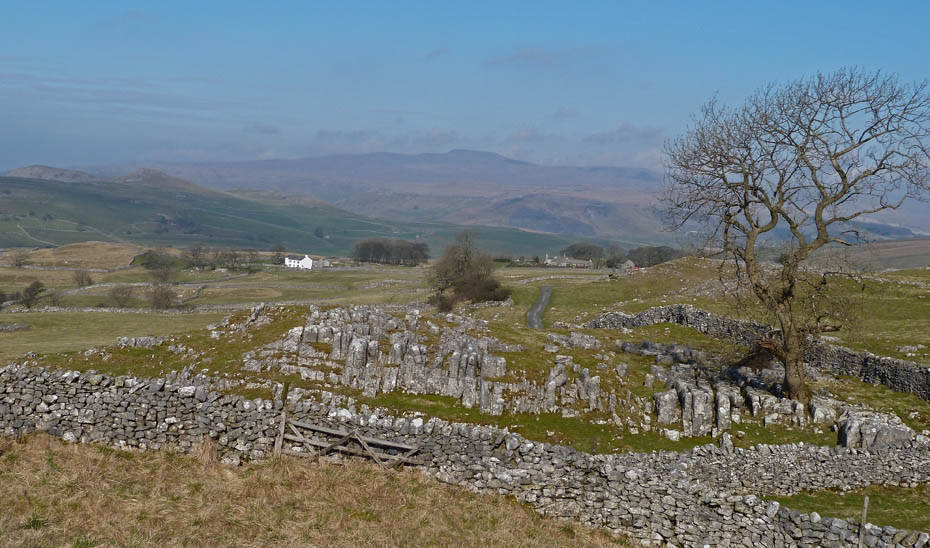
A hazy Ingleborough.
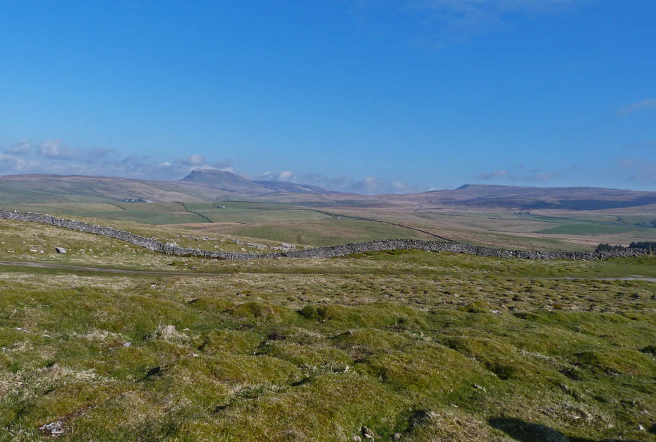
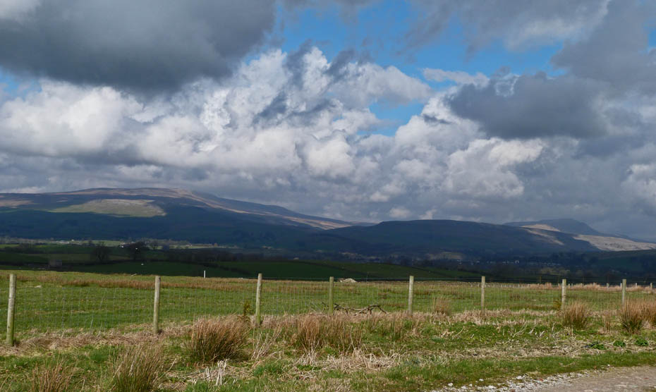
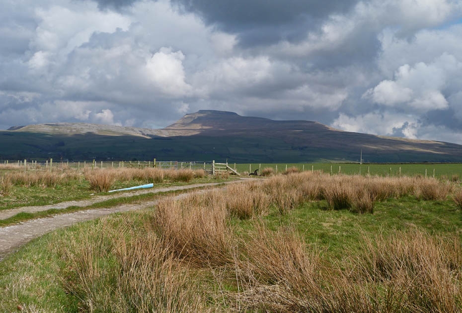
From a little further along the road Pen y ghent and Fountains Fell come into view.
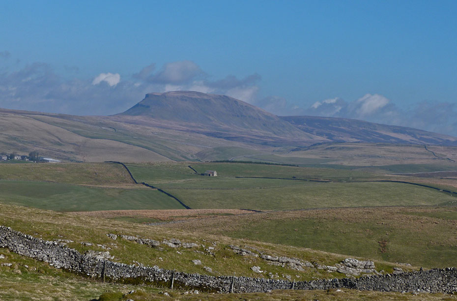
Pen y ghent and Plover Hill.
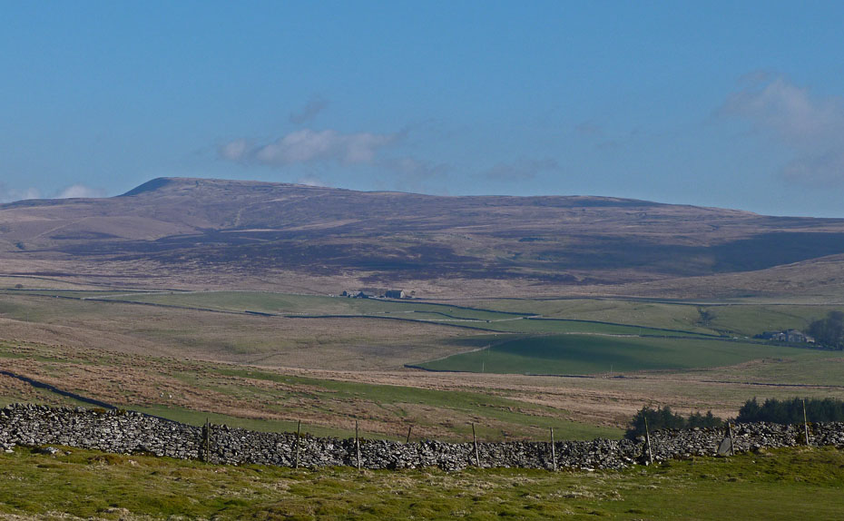
Fountains Fell.
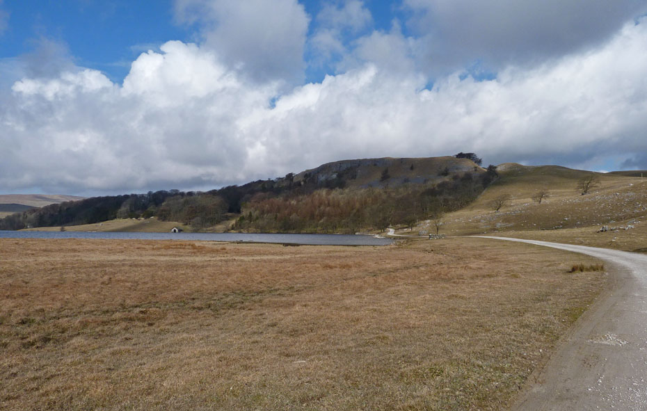
Now at Malham Tarn and a view of Fountains Fell from the other side.
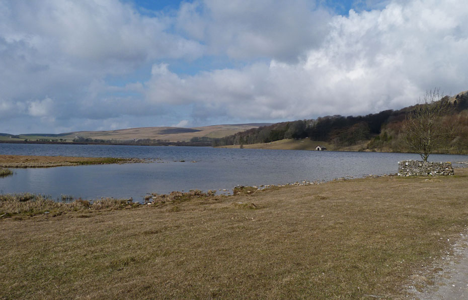
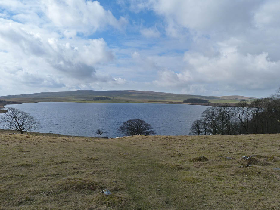
Malham Tarn ahead with the Field Centre as we walk towards the outfall.
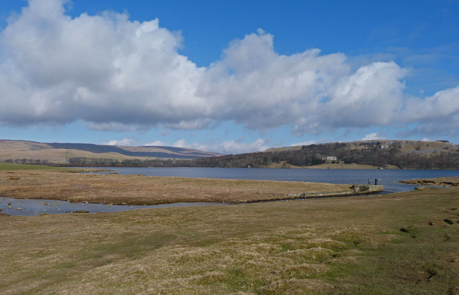
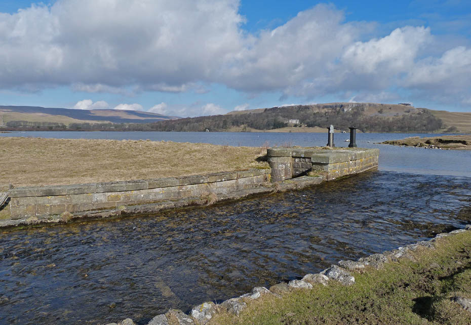
The outfall from the tarn.
Our path now crosses over towards Great Close Hill.
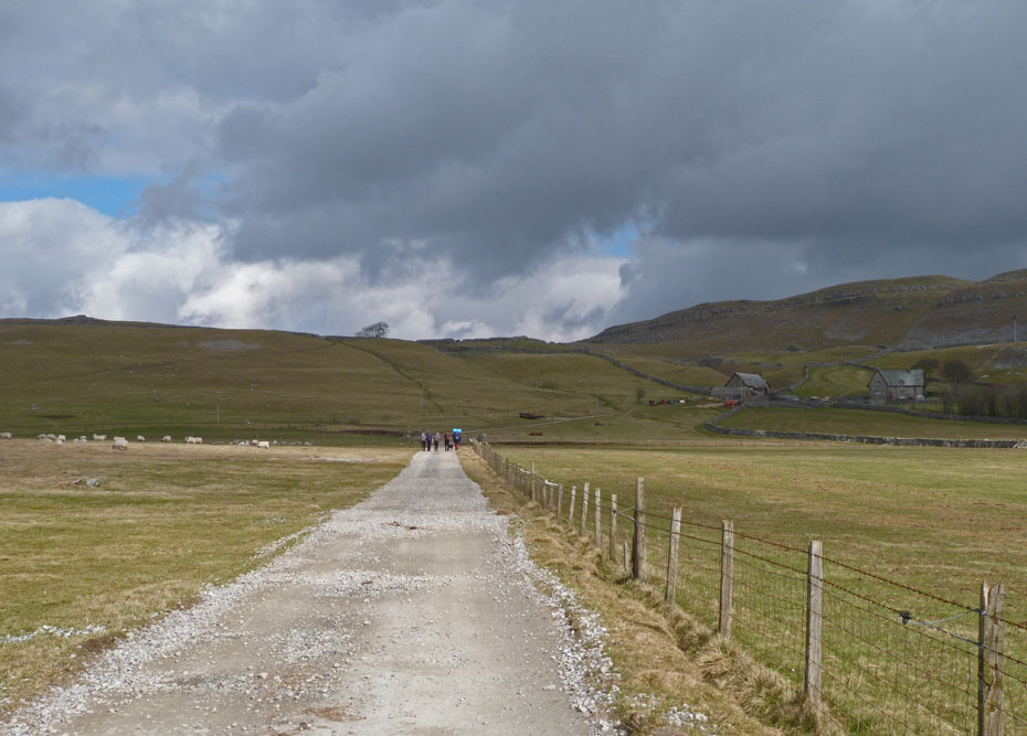
We join the made track towards the Field Centre which we will follow for a while.
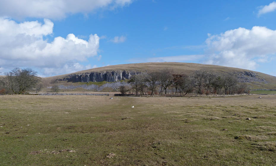
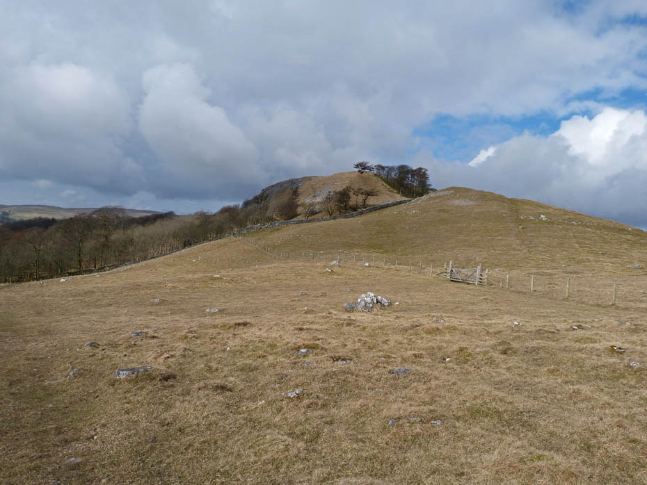
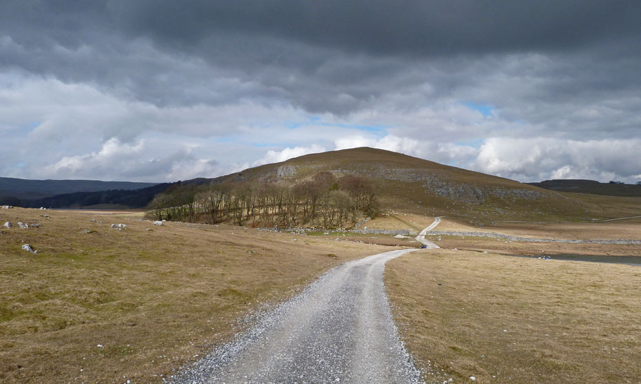
Great Close Hill. Last time we visited the summit but today we will just walk over the northern end of it.
The track takes us back towards the tarn as some thicker clouds move in from the north.
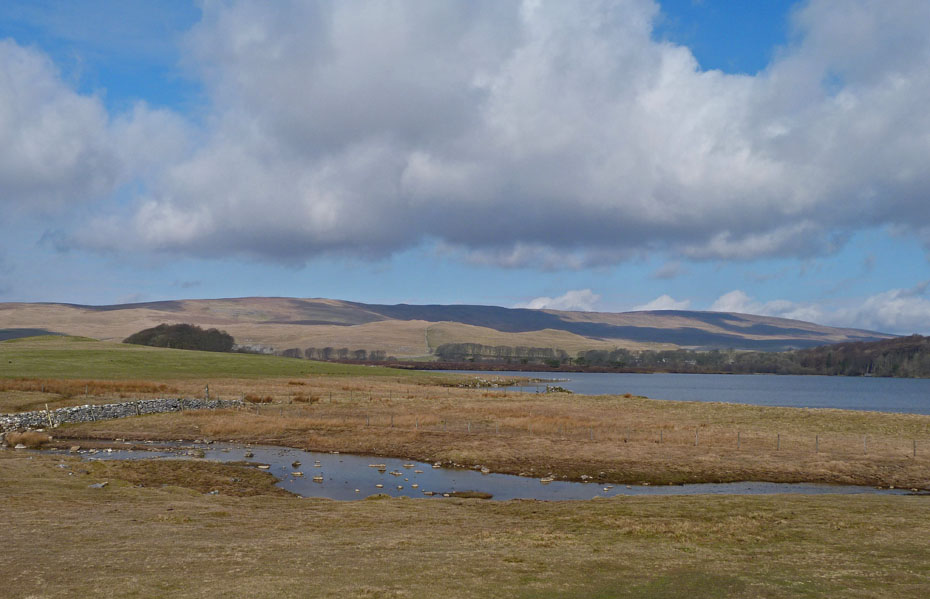
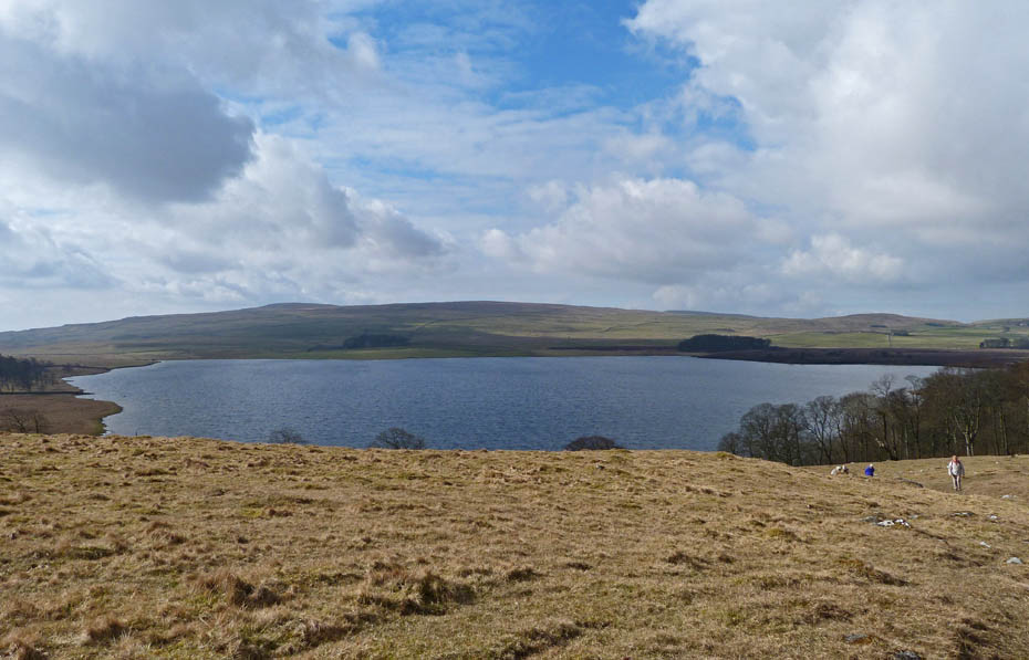
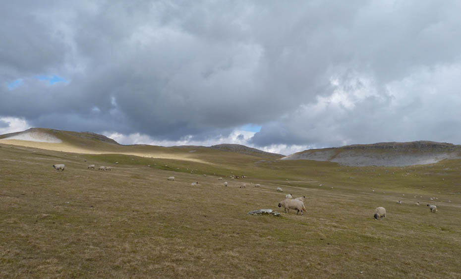
Looking over the tarn towards Knowe Fell, the southern end of Fountains Fell.
Just before reaching the gate ahead our path goes off upwards to the right. This is the Monk's Road, a delightful path which leads over to Arncliffe in Littondale.
A slow and careful ascent
Looking towards Highfold Scar.
Just about at our highest point now with a look back to Malham Tarn.....
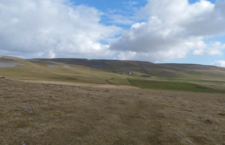
.....and an easy descent towards Middle House Farm.
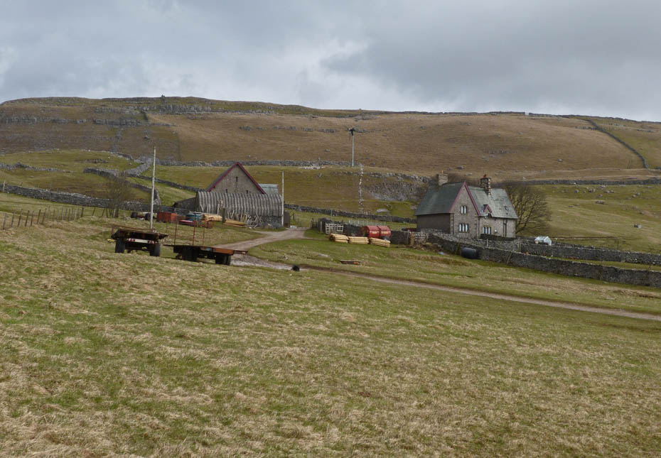
Middle House Farm.
A look back towards Middle House Farm with a group of backpackers on there way to Arncliffe.
A look back along the track to Middle House and dark skies. However there was no hint of rain.
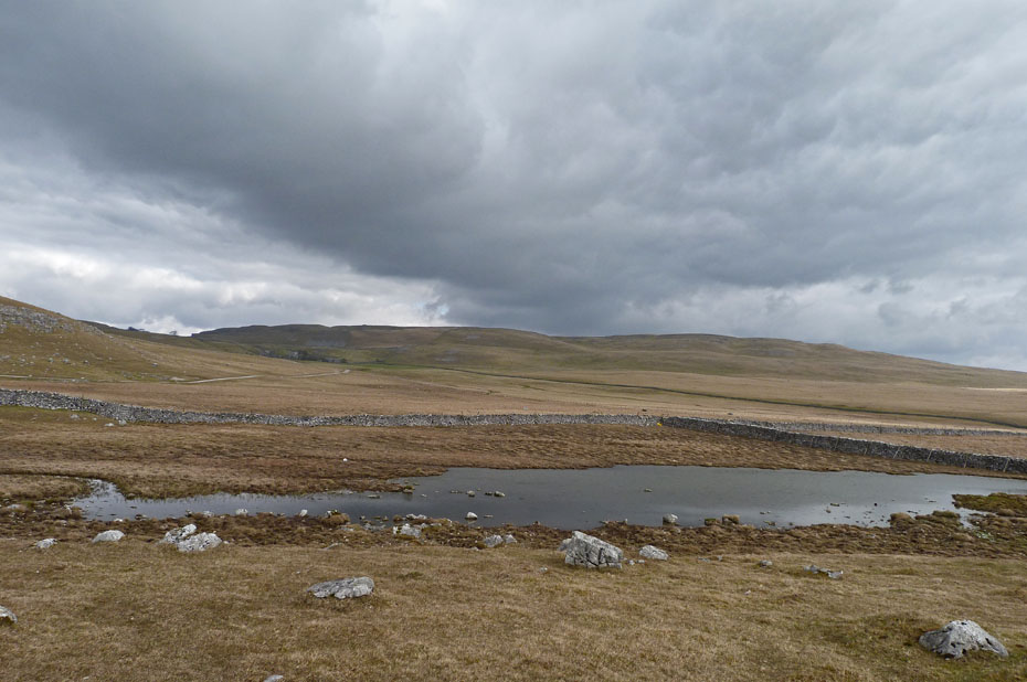
Pool at Great Close Mire.
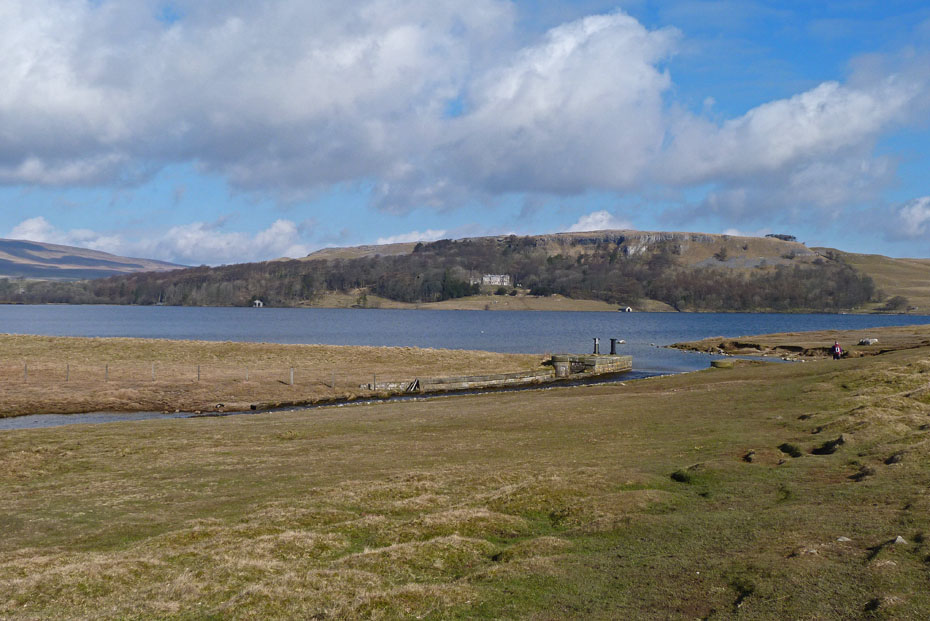
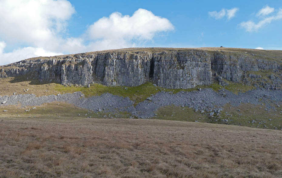
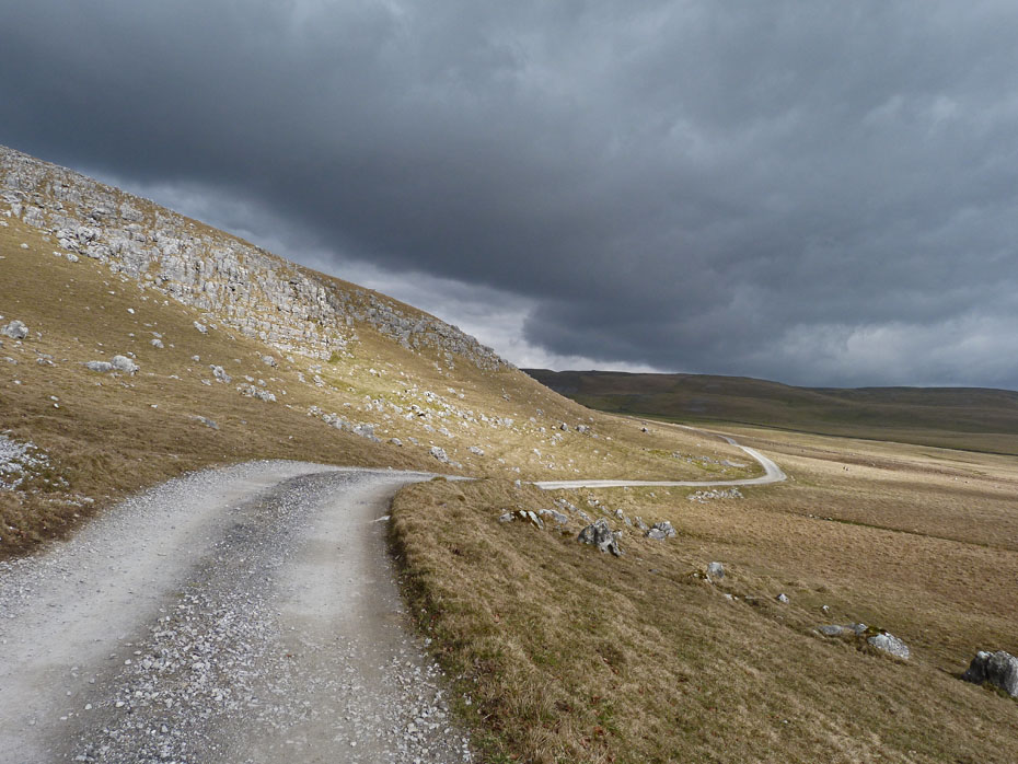
Great Close Scar with a glimpse of Malham Tarn to the left.
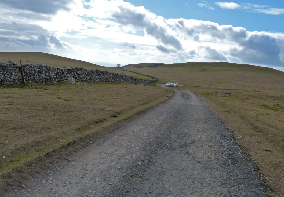
Looking ahead to where the farm track joins the Malham road at Street Gate.
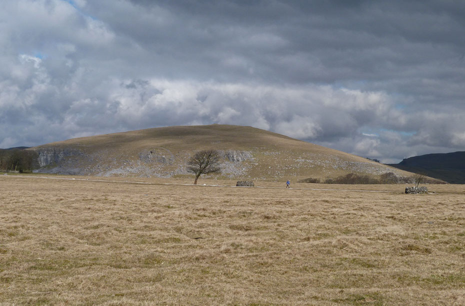
Great Close Hill as we make our way back to the car.
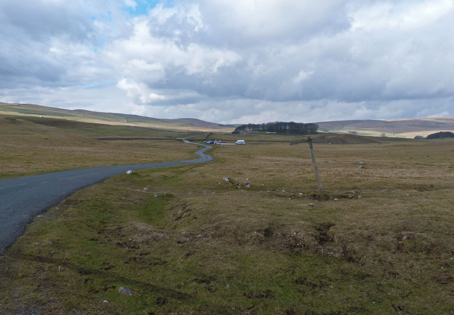
Almost back and then it's a drive to Malham.
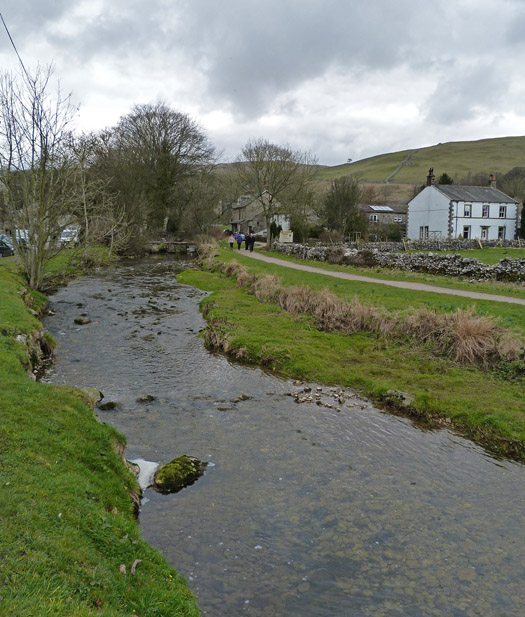
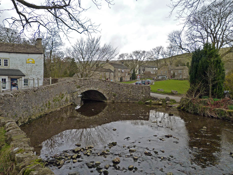
Mal ham Beck
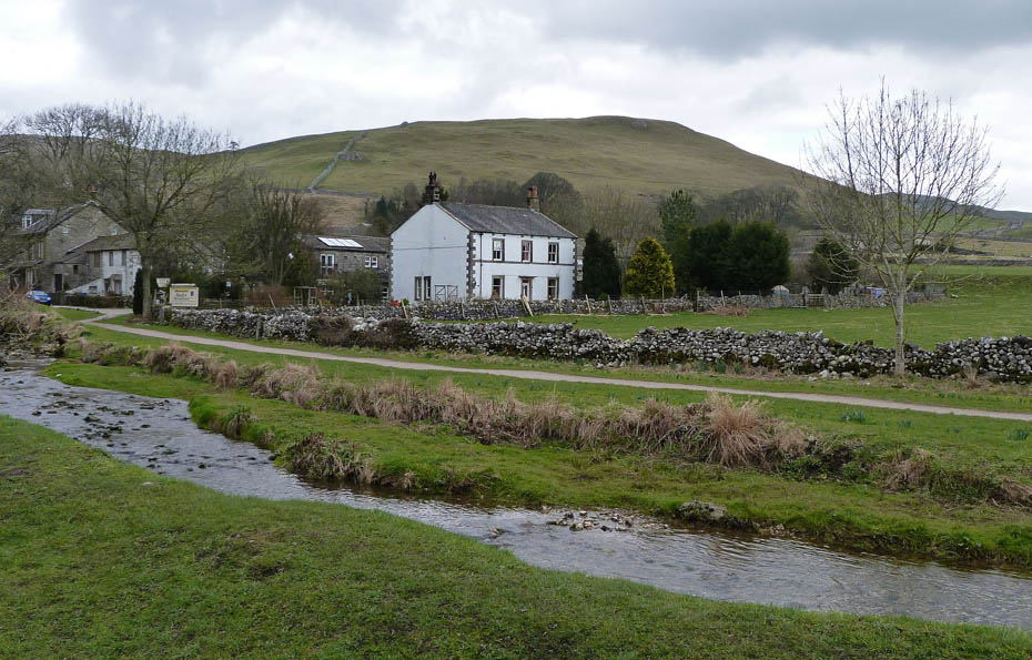
Looking over Malham Beck to Cawden.
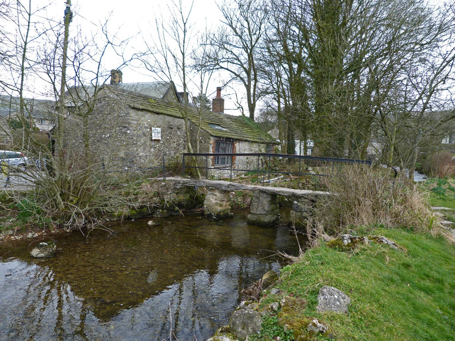
Slate bridge behind the blacksmiths.
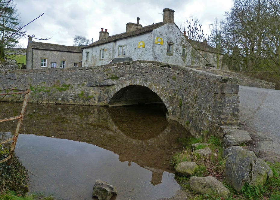
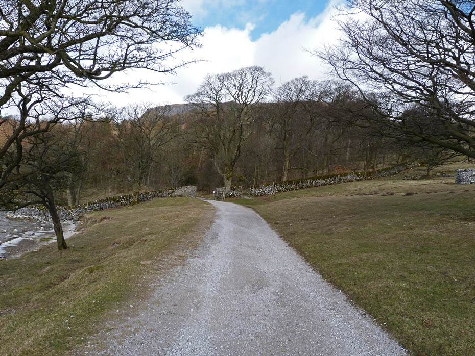
Roadbridge over Malham Beck.
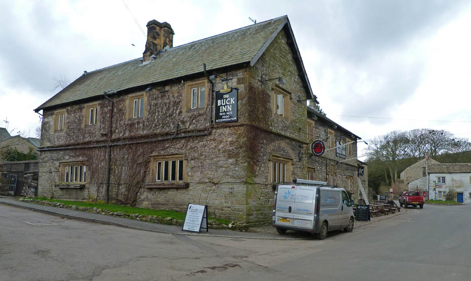
The Buck Inn....very nice but we used the cafe.
And finally on the way home a stop to get Gragareth (l) and Whernside (r) from above High Bentham.
Along with Ingleborough.
Next Walk: 21st March 2011 - NW Lancashire - A Luneside walk
Last Walk: 18th March 2011 - Lake District - Tarn Hows & a visit to Coniston
Do you have a Facebook or Twitter account? We post regular updates on both plus some additional pictures. Just click on either of the links below and add us.
![]()

We hope you have enjoyed viewing this walk. If you have any comments please sign our Guestbook or E_Mail us.
