
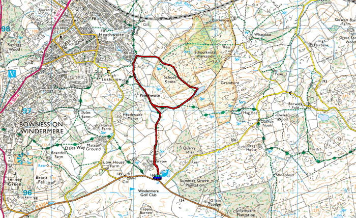
| Area: | Lake District | Ascent: | 350feet |
| Walk No: | 512 | Time: | 1hour 30minutes |
| Date: | 28th March 2011 | Parking: | On the B5284 road at Cleabarrow |
| Distance: | 3.00miles | Weather: | Fine & Sunny but still a bit hazy |
| Route: |
For those of you that are thinking of going onto the hills I would strongly recommend that you read the advice given by the Mountain Rescue organisation of England and Wales. To read this advice, which will open in a new page please click HERE. If you would like to make a donation to the Mountain Rescue organisation which is purely voluntary please click HERE. Please make the time to read the advice page.
Yet again the first part of the morning was taken up with a visit to my GP. There is some concern about my blood pressure which despite taking medication is hovering around the 175/105. My GP prescribed some more tablets to take but warned me that I may feel "light-headed" for a few hours after taking them. However shortly after midday things seemed OK and the boss-lady agreed to this short walk.
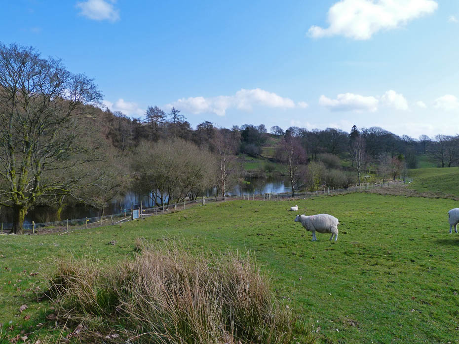
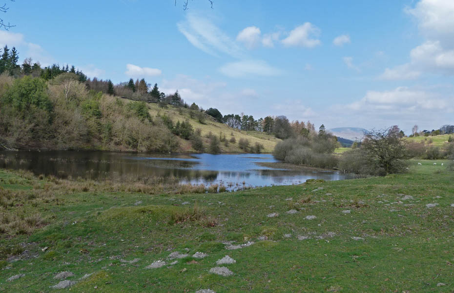
Looking down to Cleabarrow Tarn as we set off.
It must be lunchtime.
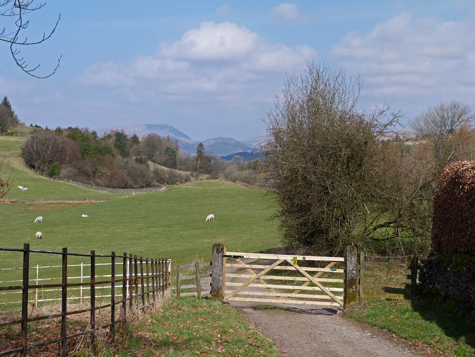
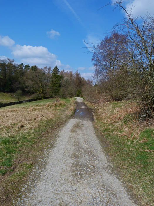
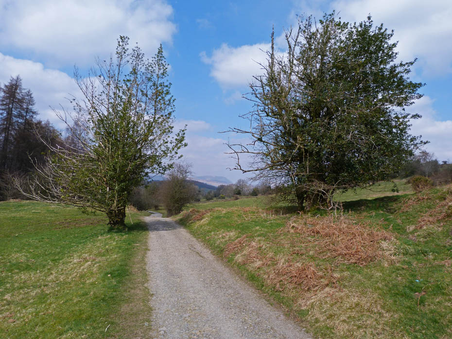
The tarmac lane soon gives way to a more natural surface as we reach the first gate with Red Screes and Wansfell ahead.
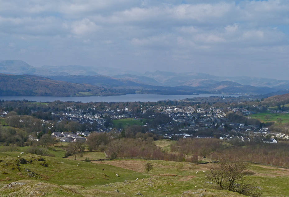
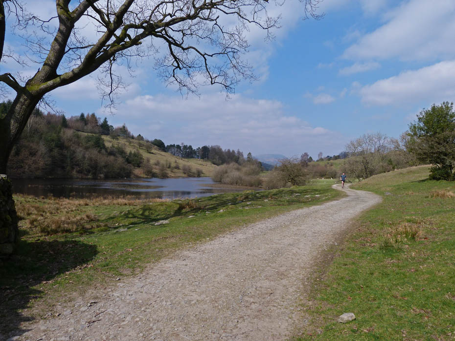
First views of the Coniston fells over Claife Heights
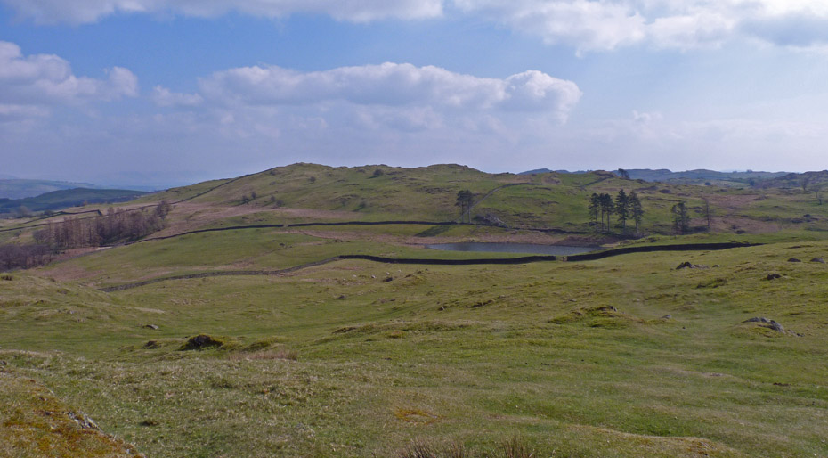
The "new" tarn
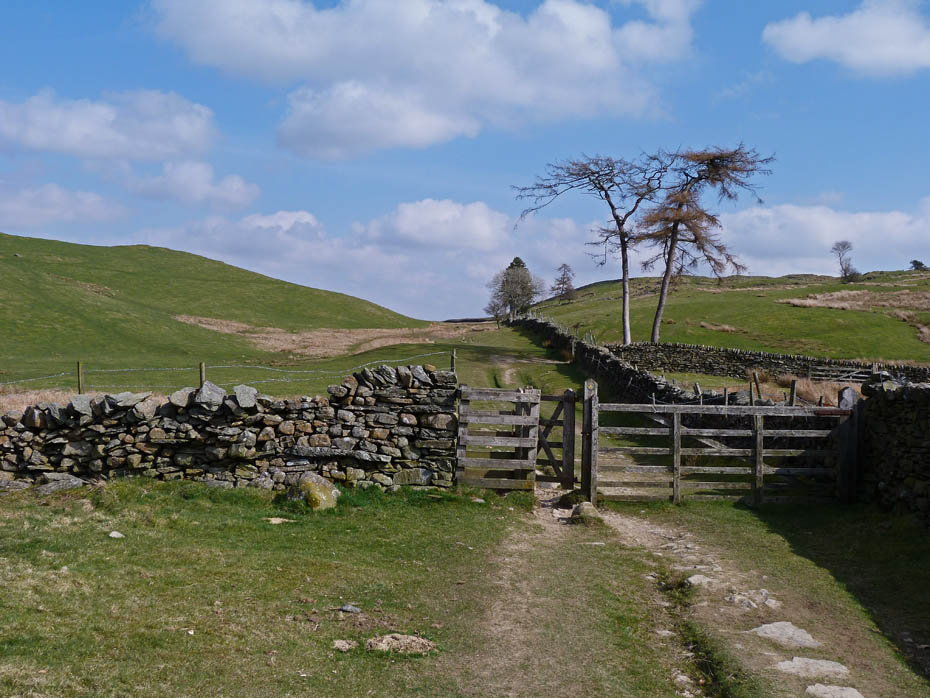
Just ahead at a waymarked post we will turn off to the right.
Gaining a little height. We will leave the Dales Way at the two trees ahead where it goes off to the right.
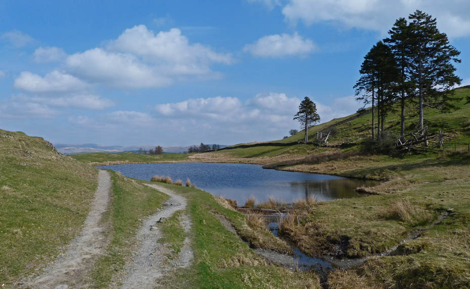
School Knott tarn.
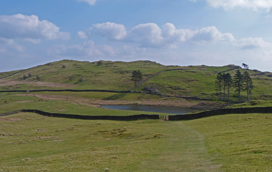
Looking back across the tarn to Grandsire which will be given a miss today.
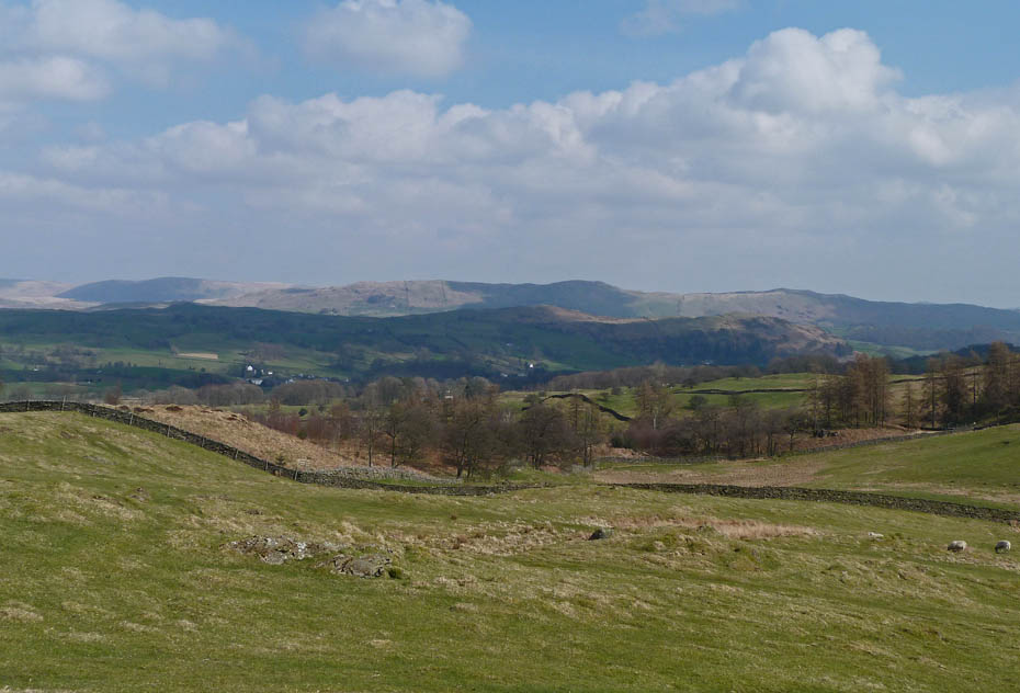
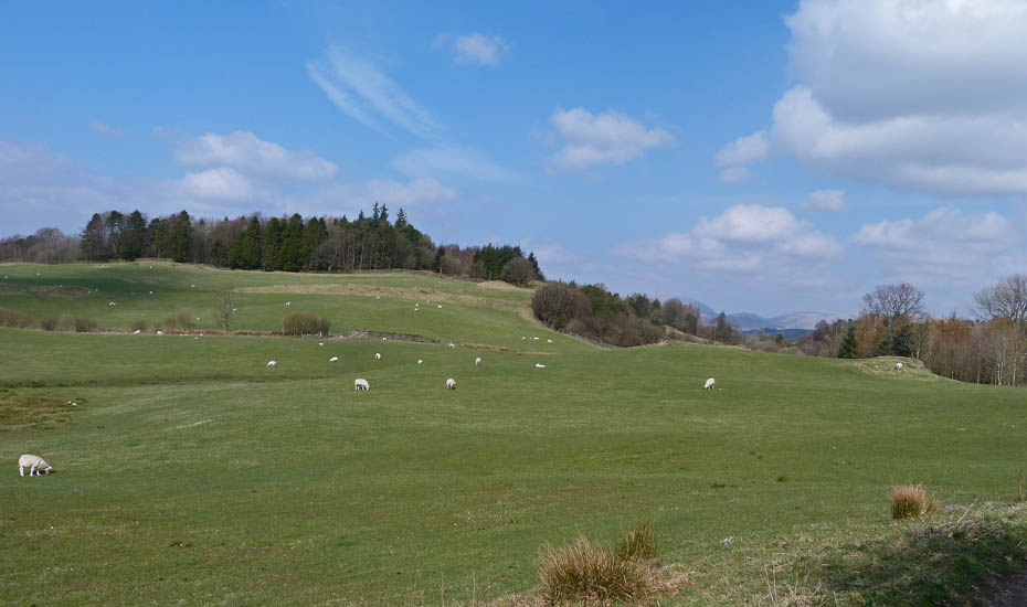
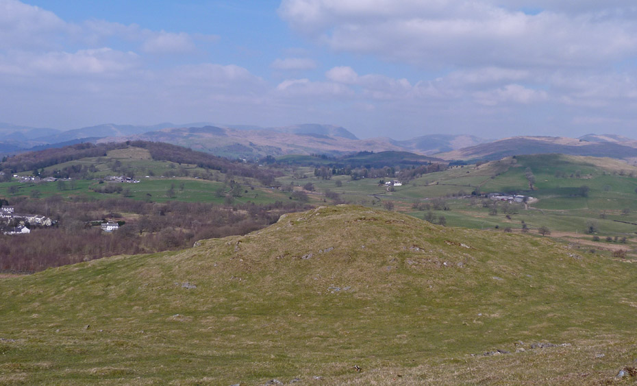
Looking over Reston Scar and Hugill Fell towards Brunt Knott.
On arrival at the summit there was some initial disappointment at the hazy views until I remembered how fortunate and lucky I am to still be able to get here at all.
The Coniston Fells.
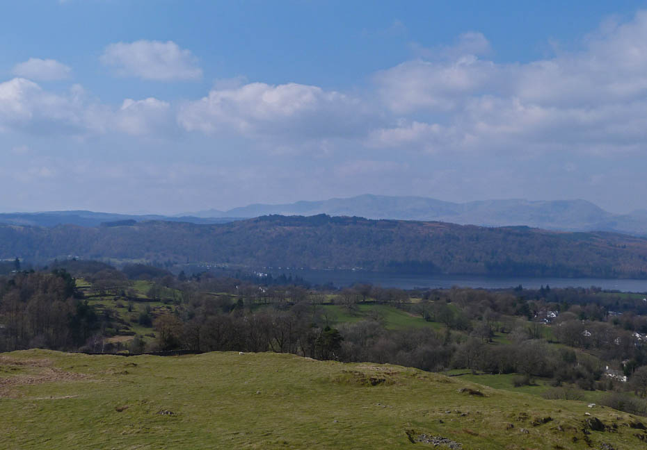
An hazy view of the Crinkle Crags, Bowfell and the Langdales.
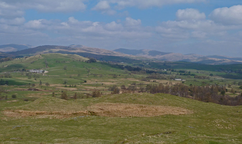
Looking over Banner Rigg towards Sour Howes with Far Eastern fells beyond.
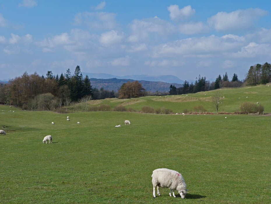
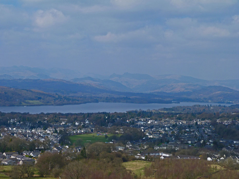
Some wider summit views.
A last look before we drop down into the woods.
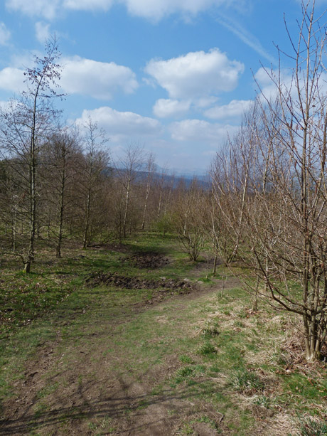
We walked down through the young woods to rejoin the track back to Cleabarrow.
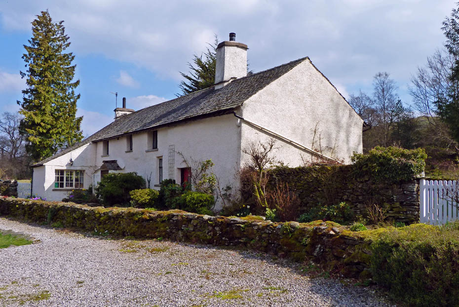
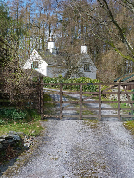
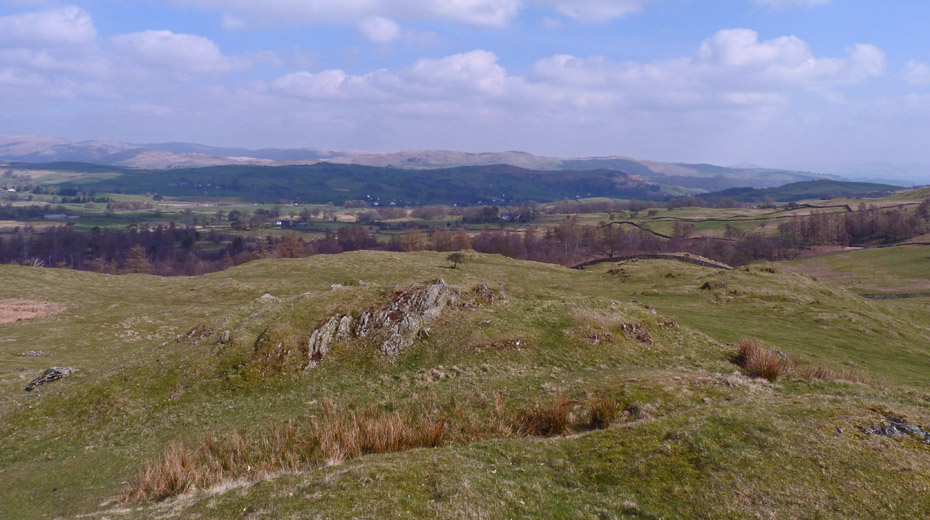
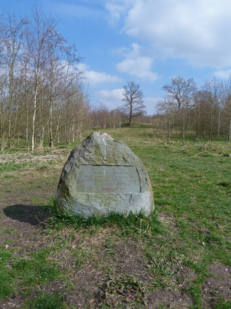
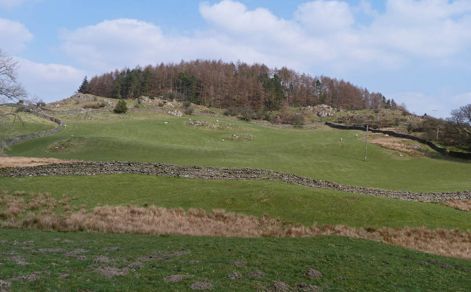
Old Droomer
Making our way back.
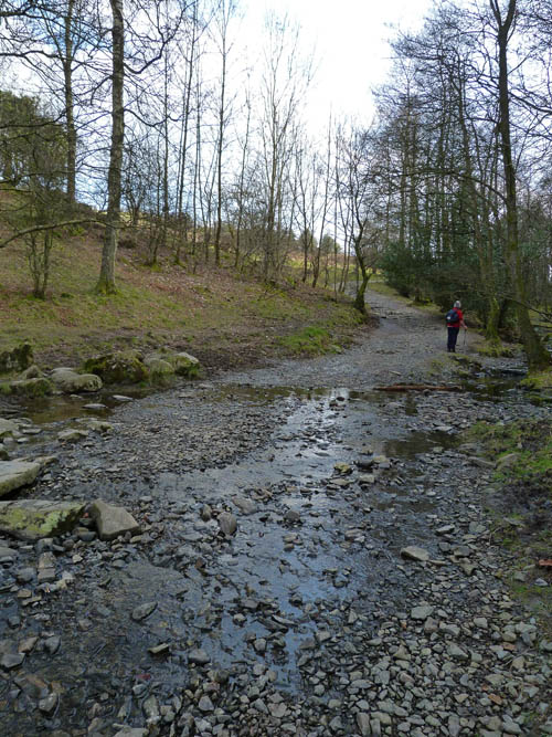
The track is classified as a B.O.A.T or a Bypass open to all traffic so be prepared for seeing anything, even fell runners.
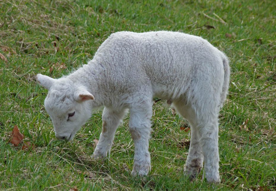
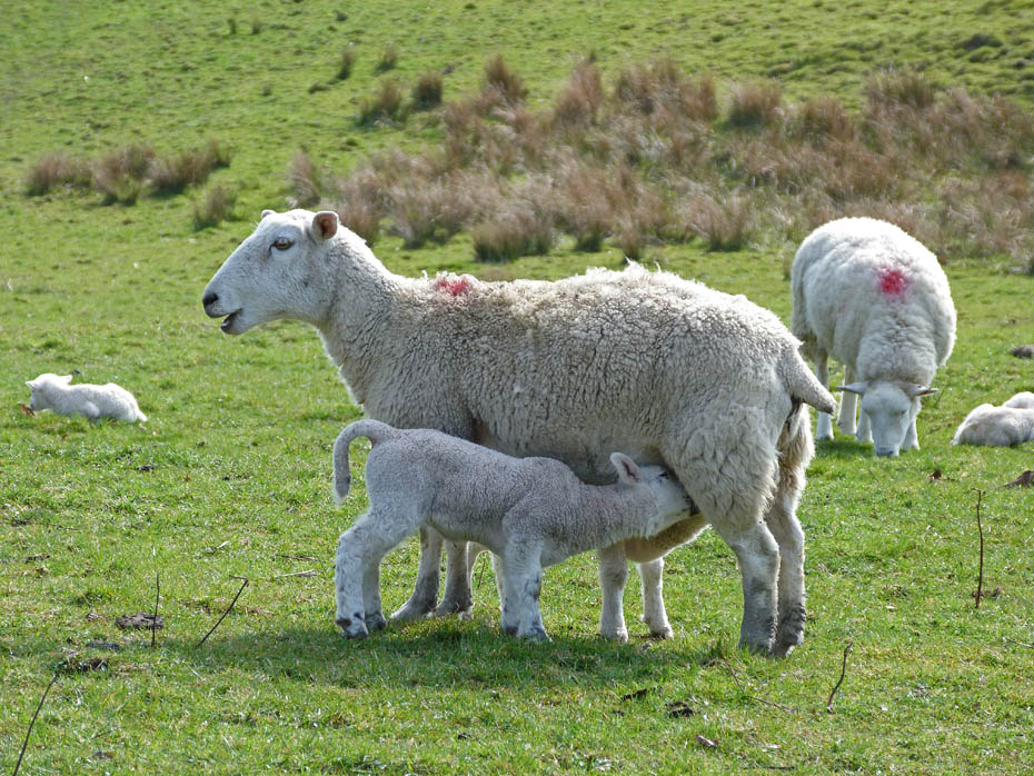
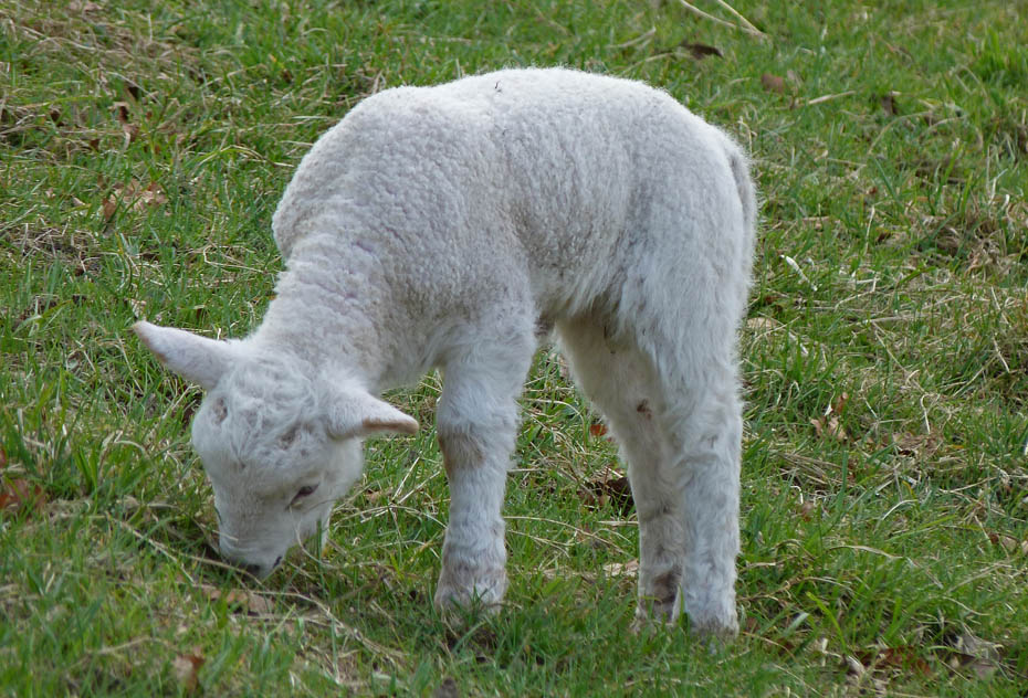
Come at the right time and you'll see plenty of these la'al chappies
Almost back and it's too nice to return home yet.
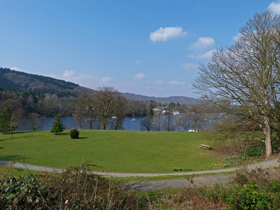
We decided to call in at the National Trust's Fell Foot Park at the foot of Windermere. It costs nowt apart from the parking and that's free to members :-)
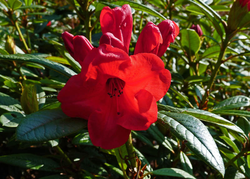
Lovely colours on a few of the early flowering plants.
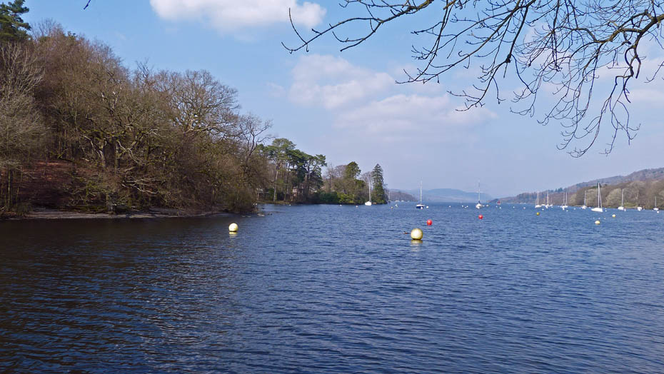
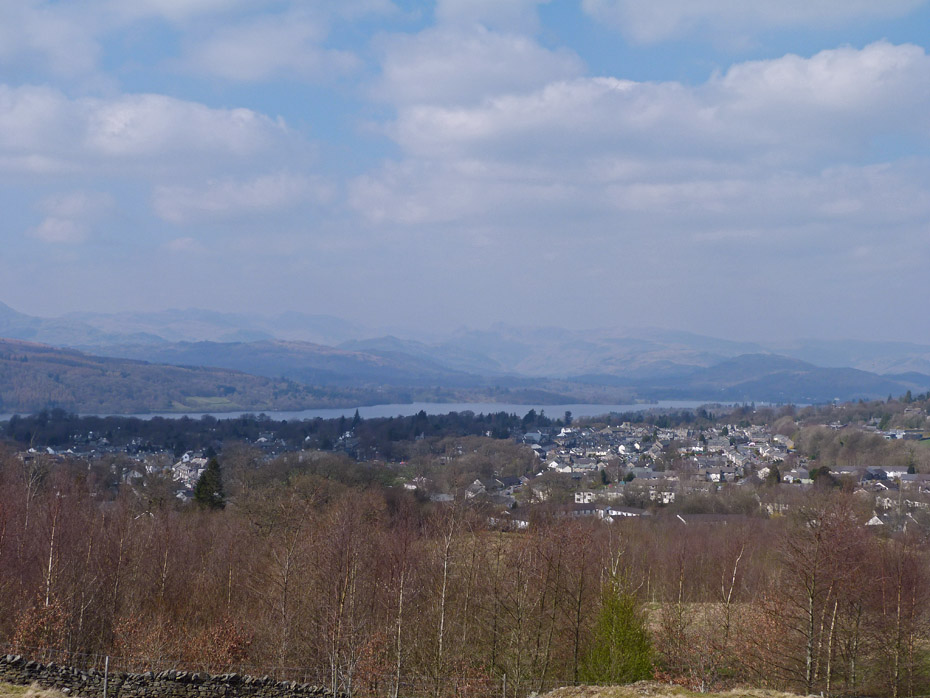
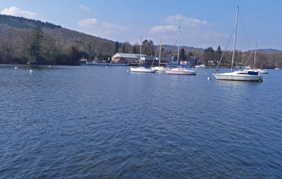
A look along Windermere.
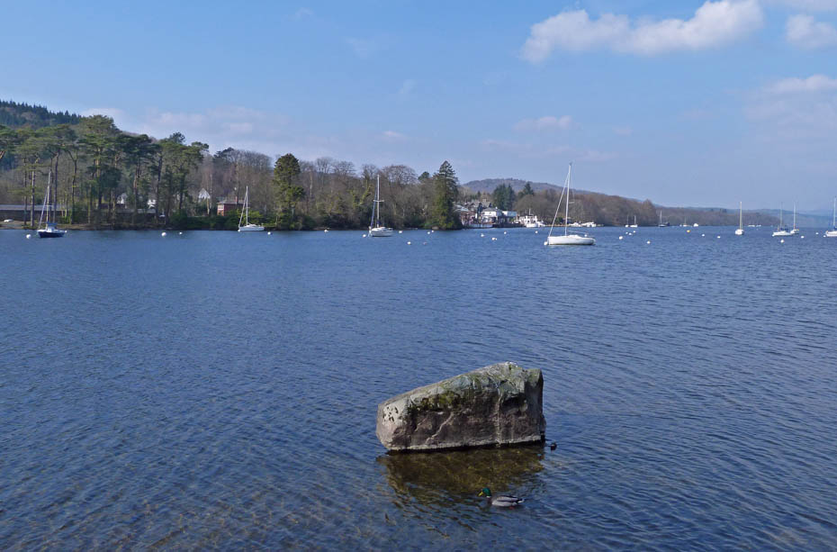
Gummer's How
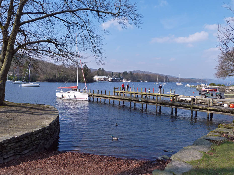
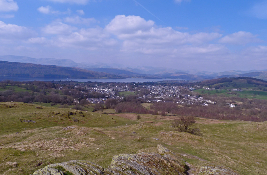
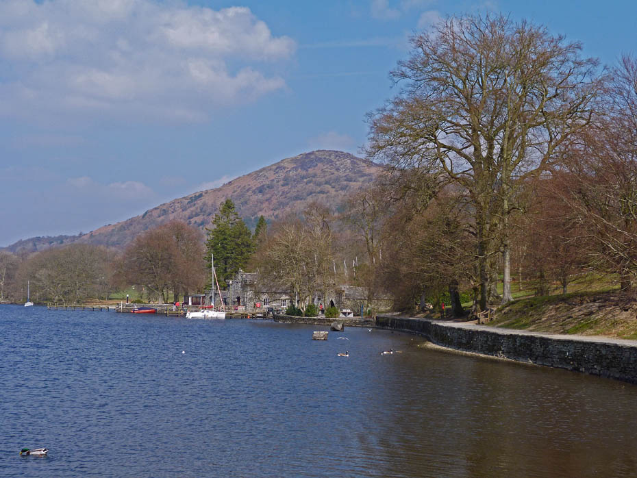
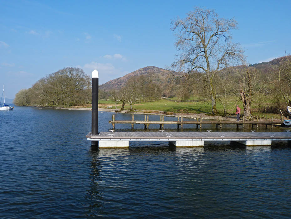
Looking over the landing stages towards Lakeside
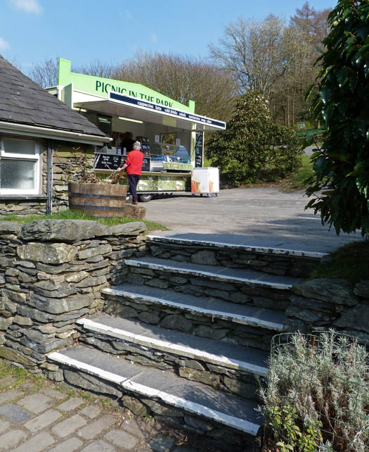
The cafe itself is still closed awaiting some equipment to be delivered. With the building being flooded twice in 2 years they have had major problems with insurance. The Insurance Companies want some structural changes but the building is listed. The building itself was however open for those wanting to sit indoors.
And finally...Gummer's How from the yacht club.
Next Walk: 31st March 2011 - Arnside & Silverdale AONB - Heald Brow, Silverdale Green & Burton Well
Last Walk: 27th March 2011 - Arnside & Silverdale - Arnside Knott & Heathwaite
Do you have a Facebook or Twitter account? We post regular updates on both plus some additional pictures. Just click on either of the links below and add us.
![]()

We hope you have enjoyed viewing this walk. If you have any comments please sign our Guestbook or E_Mail us.
