
| Area: | South Cumbria | Ascent: | 550feet |
| Walk No: | 515 | Time: | 2hours 40minutes |
| Date: | 3rd April 2011 | Parking: | Top of Kendal - Underbarrow road |
| Distance: | 5.00miles | Weather: | Fine with some sun. |
| Route: |
For those of you that are thinking of going onto the hills I would strongly recommend that you read the advice given by the Mountain Rescue organisation of England and Wales. To read this advice, which will open in a new page please click HERE. If you would like to make a donation to the Mountain Rescue organisation which is purely voluntary please click HERE. Please make the time to read the advice page.
It's Mothering Sunday (not Mother's Day as our American cousins would have us believe) and there are visits to be made before we can go walking. It's very dull and cloudy anyway so there's no rush until around 11:30am when the day begins to brighten just a little. A short trip northwards soon as us in Kendal and from there along the Underbarrow Road for this walk. Although there was lots of cloud about, they were well above the tops and it did stay fine for us.
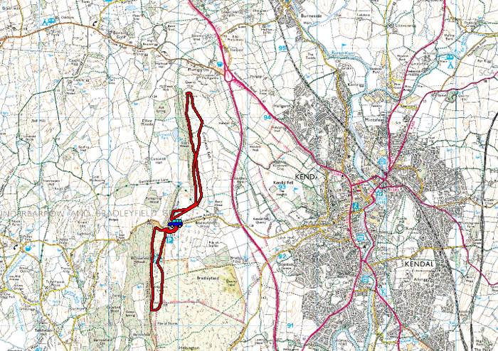
Route Map
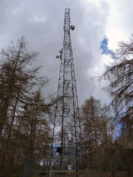
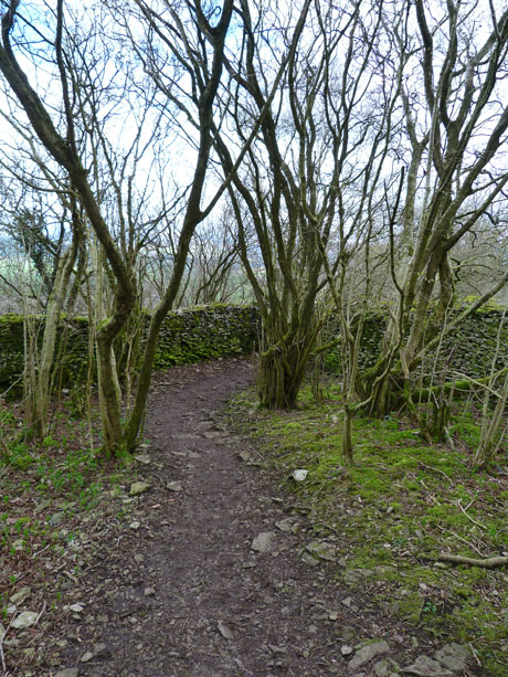
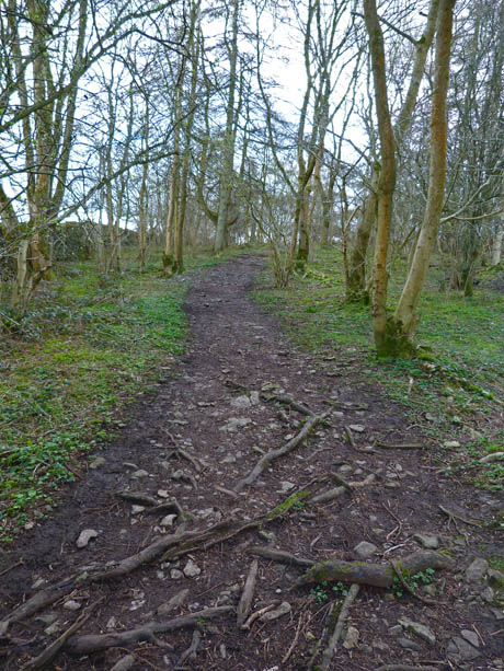
We left the car near the tower and walked through the small wooded area out onto the fell.
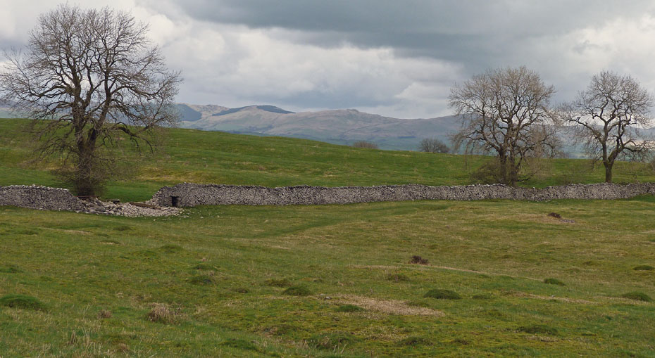
A first glimpse of the Whinfell Ridge.
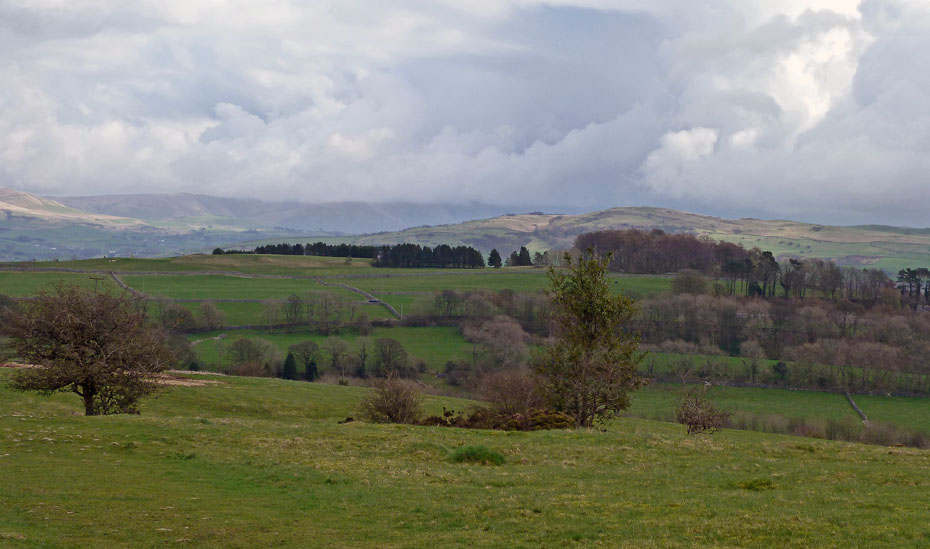
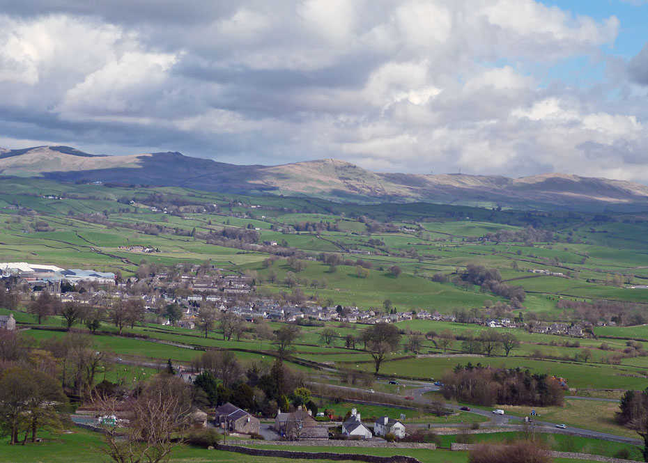
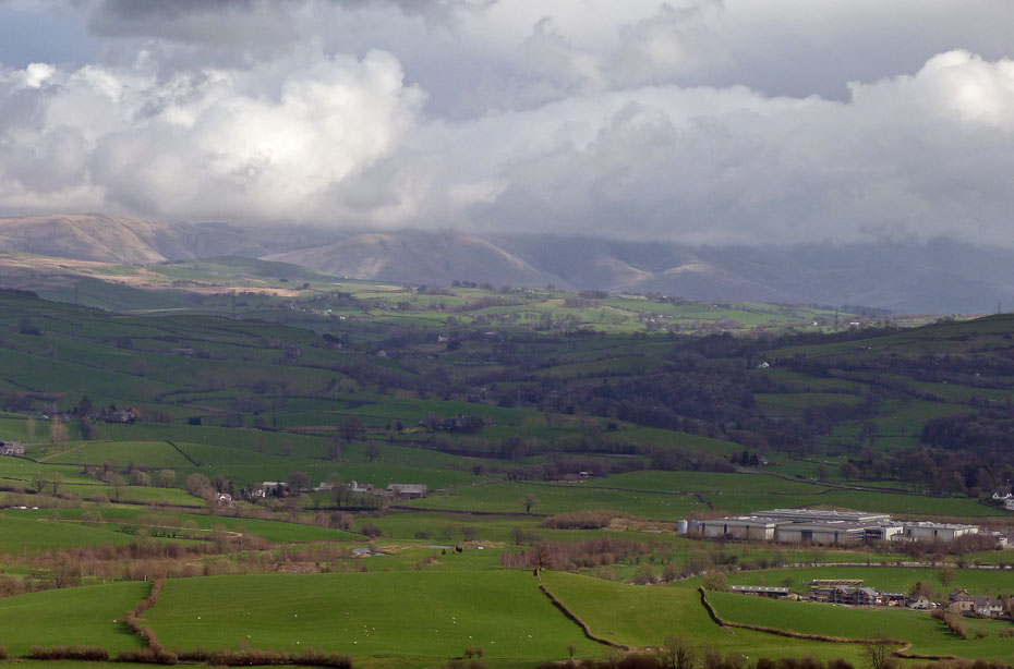
Looking over Kendal Fell to Benson Knott with the cloud-topped Howgills to the left.
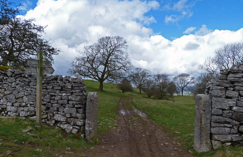
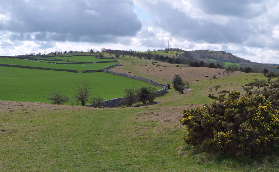
The track down Gamblesmire Lane to Cunswick Hall is not for us today.
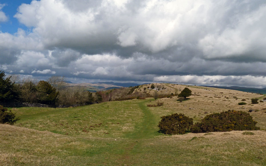
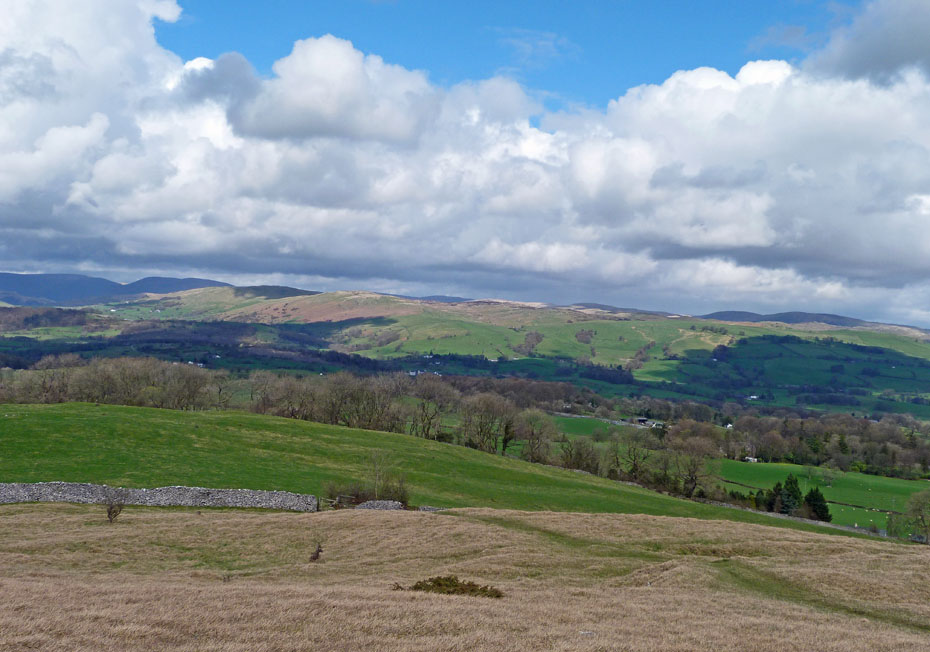
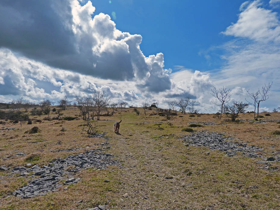
Instead we head N'wards along the ridge with views to Whinfell.
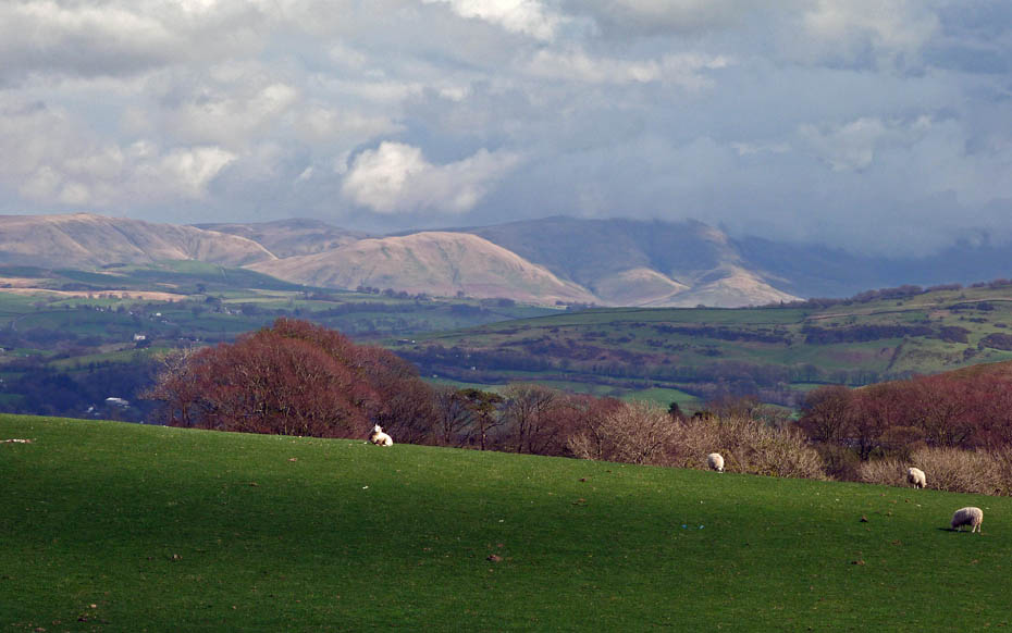
Ahead of us the glorious Kentmere Fells under a mixture of sunshine and shadow.
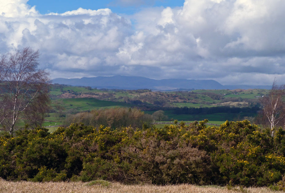
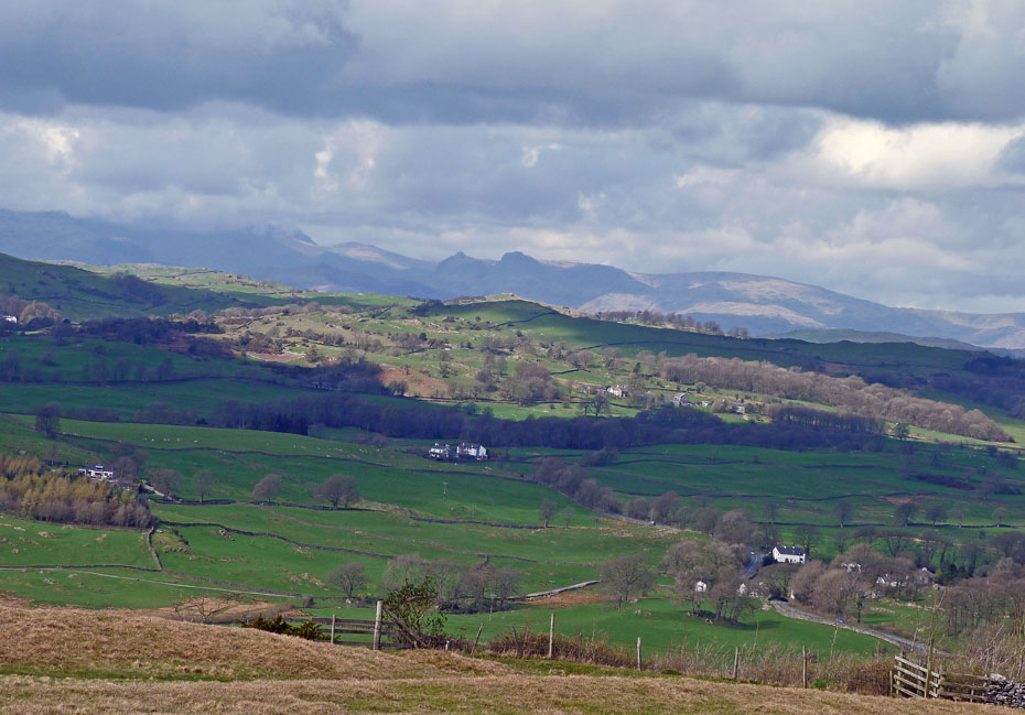
First views of the Coniston Fells appear in silhouette.
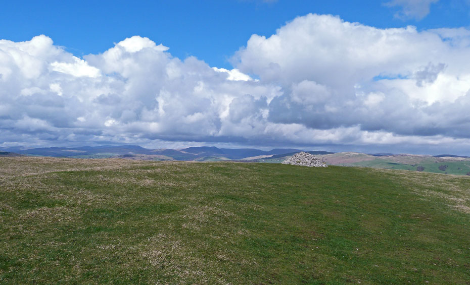
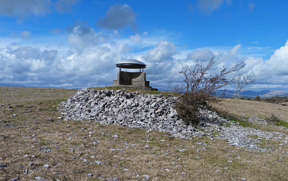
Cunswick Fell cairn.
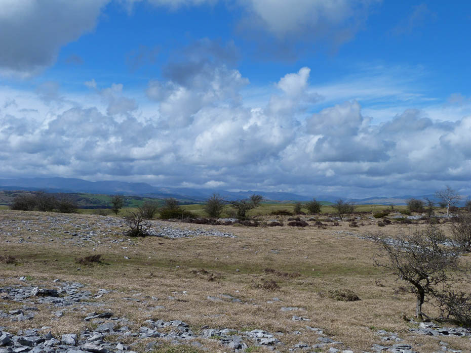
Looking to the Coniston Fells from the summit.
It's a bit brighter on the Langdale Pikes.
Far Eastern magic.
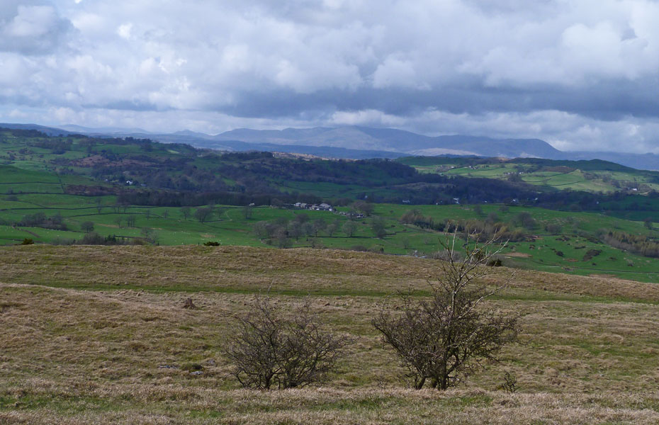
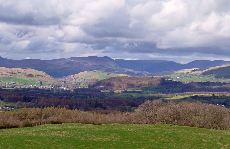
Potter Fell.
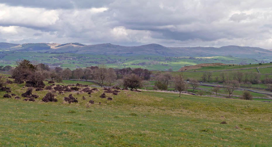
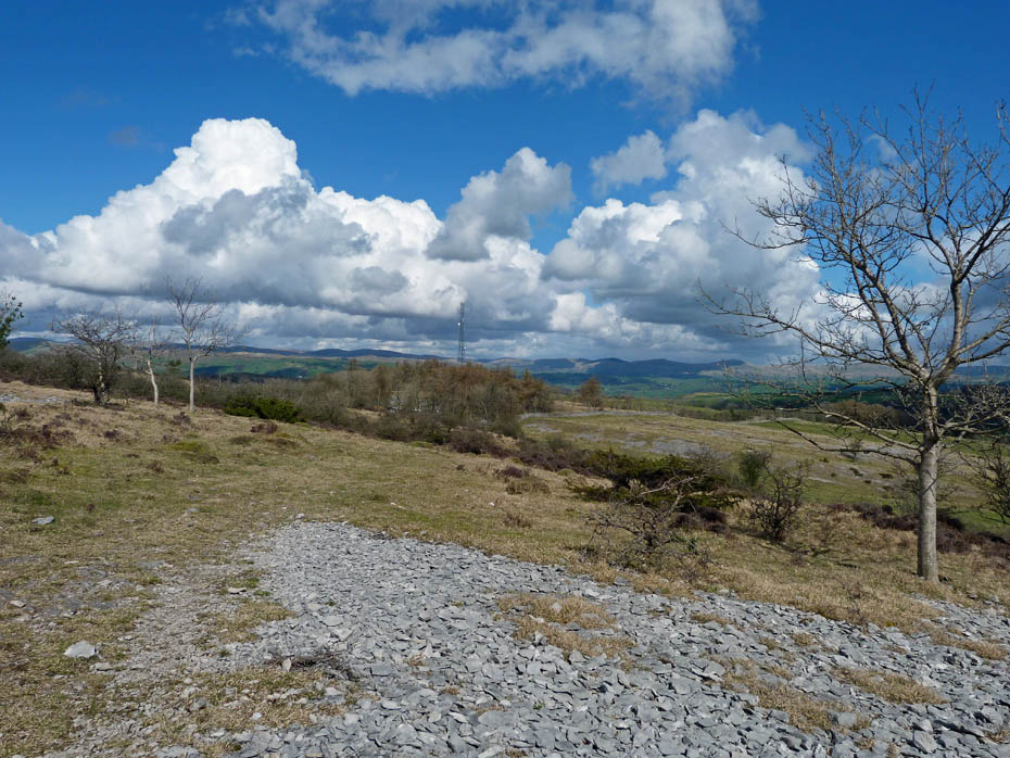
Looking over Plumgarth and Burneside to the Whinfell Ridge.
The Howgills still hold onto the cloud.
On our way back now.
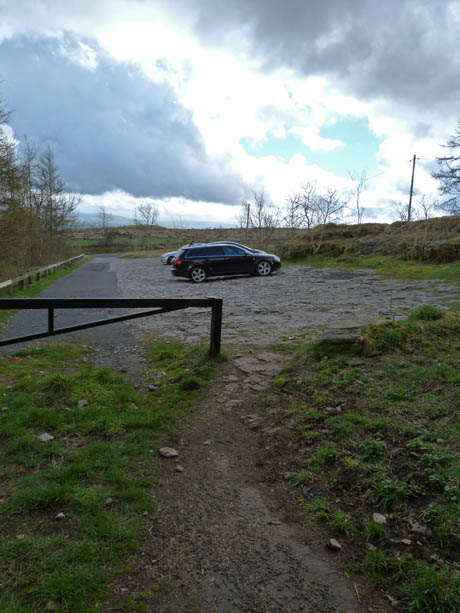
Back at the car park and we decide to pop up Scout Scar.
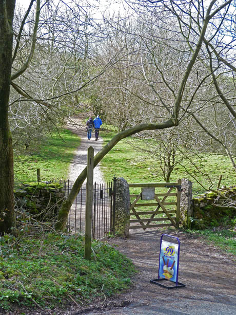
I hope that ice-cream van is still there when we return.
We didn't take the main path up onto the scar preferring the one on the east side away from the crowds.
The mushroom shelter.
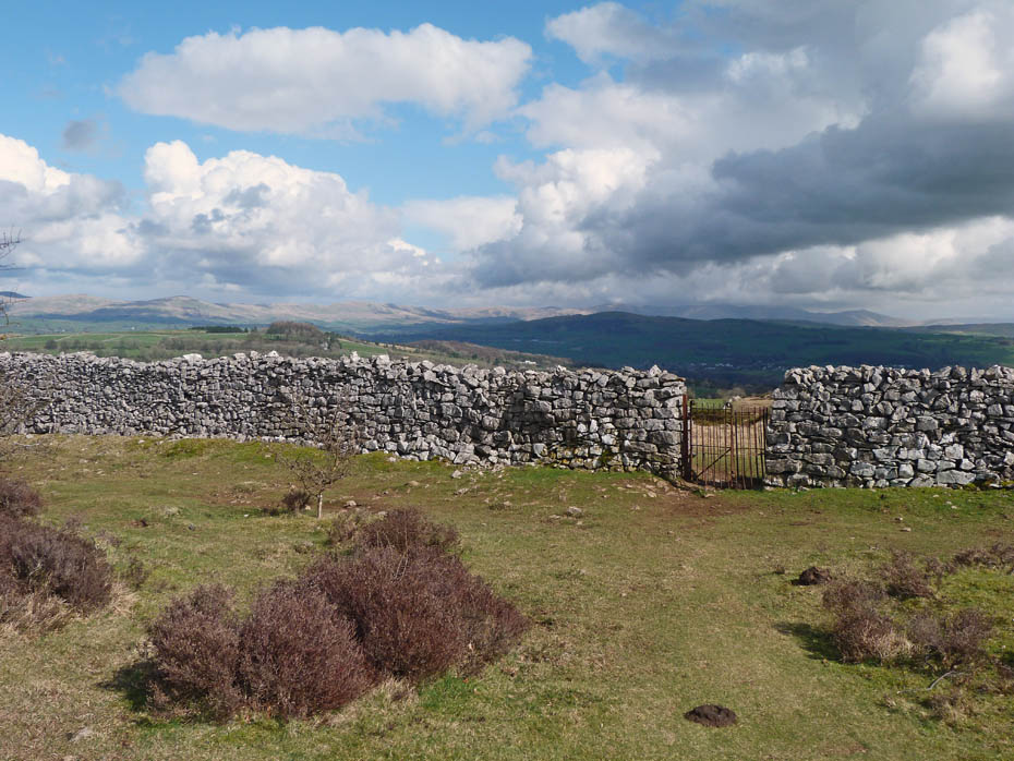
Our path took us away from the scar edge past this gate...
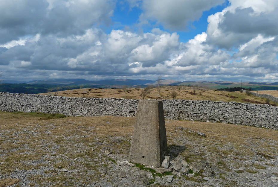
.....to the trig point on Scout Scar.
Still cloudy Howgills.
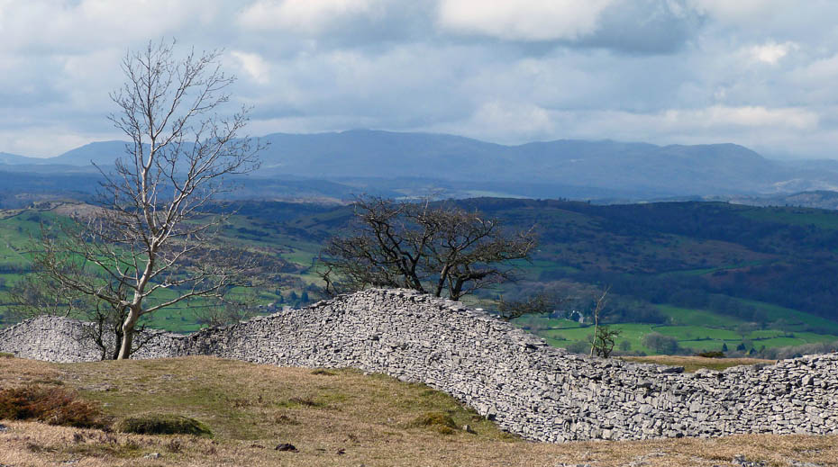
The Conistons as we walk down to the scar edge.
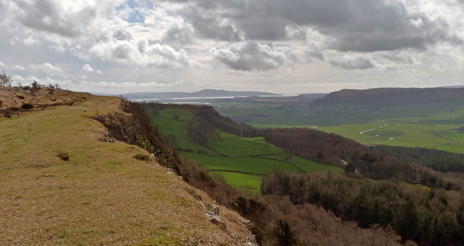
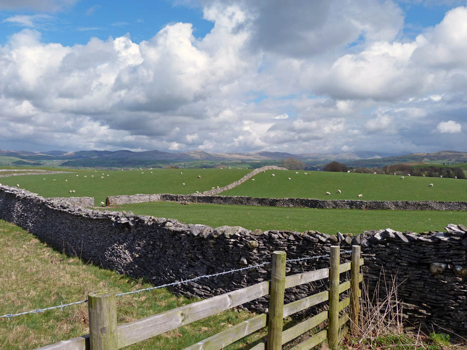
A look across the Lyth Valley to Whitbarrow and southwards to Arnside Knott.
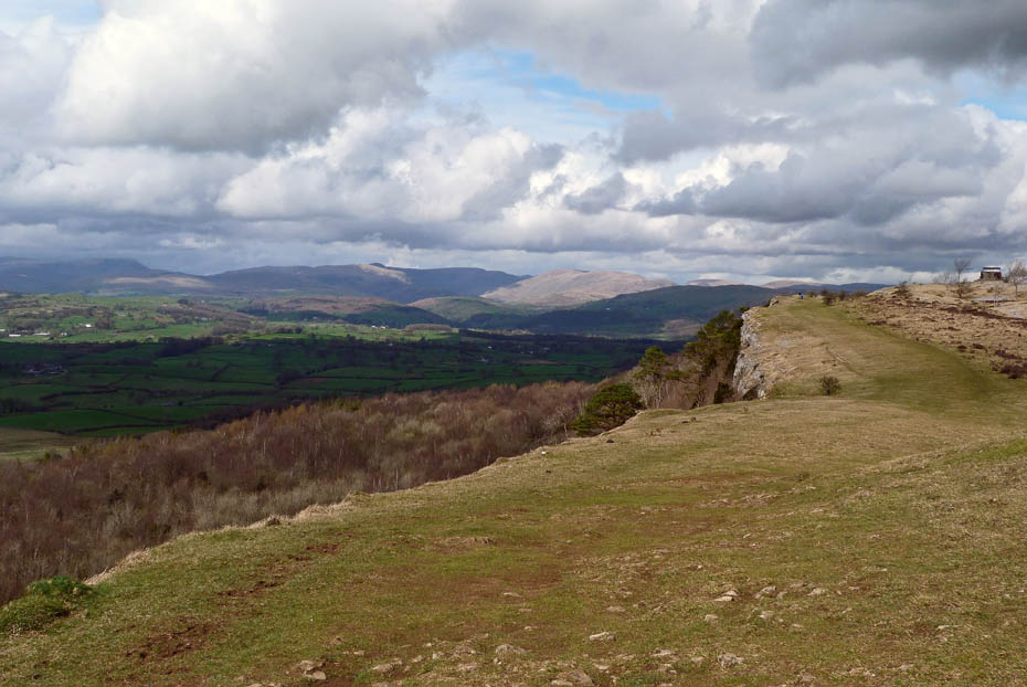
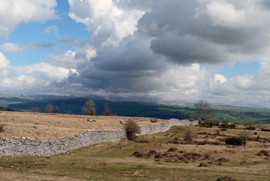
Following the scar edge northwards towards the shelter.
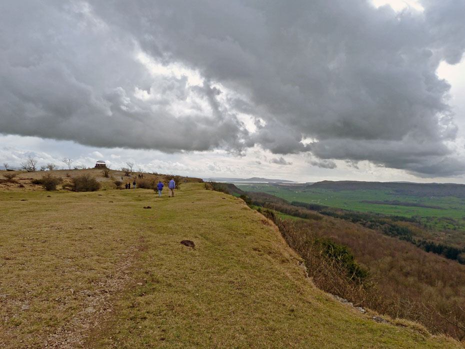
A look back as we near the end of the scar.
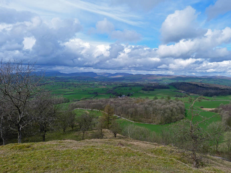
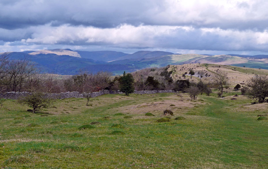
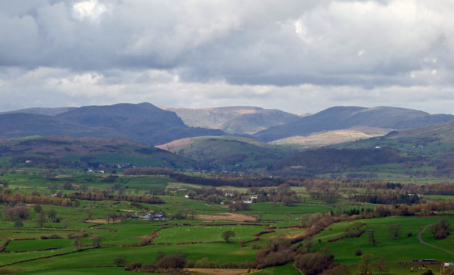
The wider picture.
I may never get up them again but I have so many memories of long days on these fells.
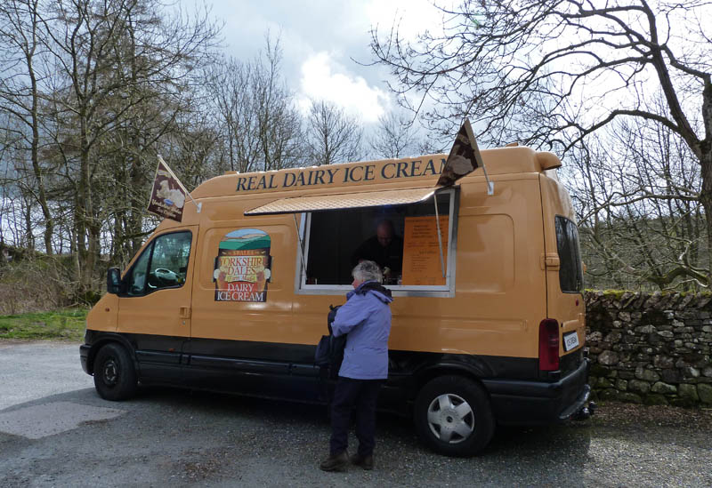
It's a good job one of as some money!
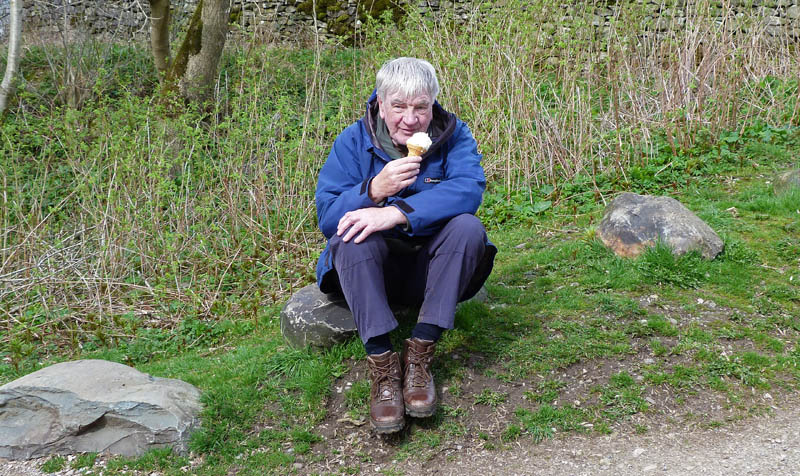
And finally......like a garden gnome he sits enjoying his ice-cream.
Next Walk: 6th April 2011 - Arnside & Silverdale - Arnside
Last Walk: 1st April 2011 - NW Lancashire - A walk around Glasson
Do you have a Facebook or Twitter account? We post regular updates on both plus some additional pictures. Just click on either of the links below and add us.
![]()

We hope you have enjoyed viewing this walk. If you have any comments please sign our Guestbook or E_Mail us.
