
| Area: | Lake District | Ascent: | 440feet |
| Walk No: | 520 | Time: | 2hours |
| Date: | 11th April 2011 | Parking: | Kendal - Brigsteer road |
| Distance: | 4.00miles | Weather: | Fine with sunny spells. Very breezy |
For those of you that are thinking of going onto the hills I would strongly recommend that you read the advice given by the Mountain Rescue organisation of England and Wales. To read this advice, which will open in a new page please click HERE. If you would like to make a donation to the Mountain Rescue organisation which is purely voluntary please click HERE. Please make the time to read the advice page.
---------------------------------------------------------------
Our day started with a bit of disappointment today. We had arranged to take our two eldest granddaughters with us for a short walk along The Helm near Natland bribing them in part with a mid-walk visit to the pub. However after a glorious weekend in which Morecambe made the weather headlines by being the warmest spot in the UK on the Saturday with a temperature of 21.5°C, the day started drizzly and breezy. However by mid-afternoon the weather had improved somewhat and with the girls having made other plans, Edith and I took ourselves off to Kendal for this short but always delightful walk.
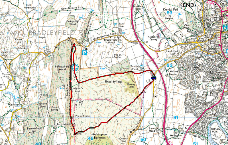
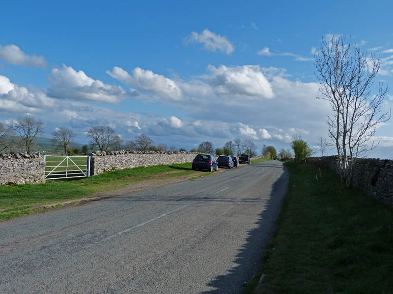
We left the car on the Kendal - Brigsteer road near the old racecourse with this view of Benson Knott.
We were parked right opposite the start of the walk shown here.
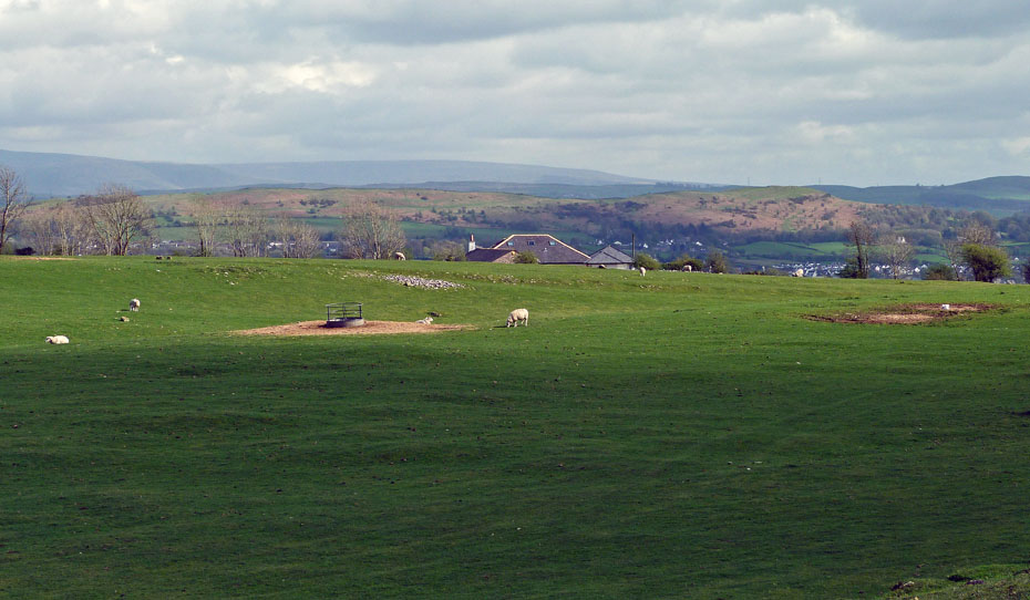
Looking back as we reach the first gate. Just in front of the lady dog-walker you can see the slightly raised banking of the old racecourse which I believe was used for harness racing.
The Helm, where we were supposed to go this morning catches a touch of sun.
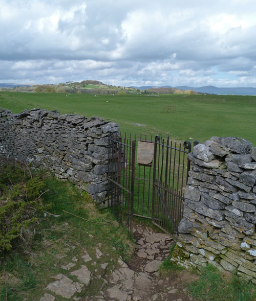
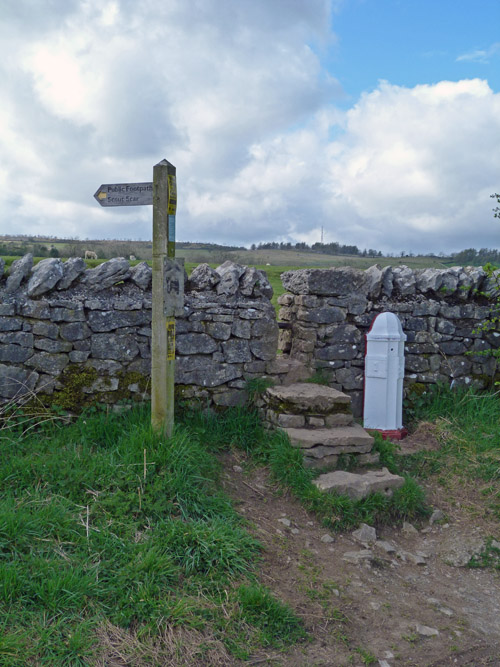
The first gate.
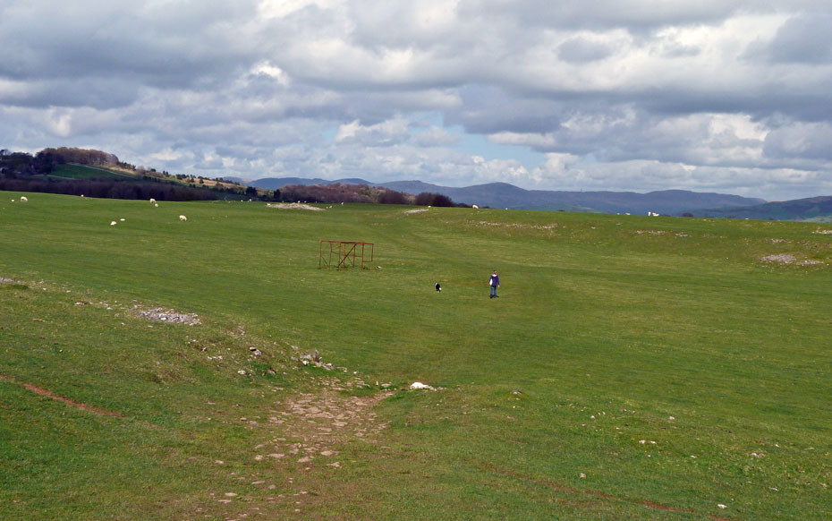
Our path rises slowly, but surely, opening up the views.
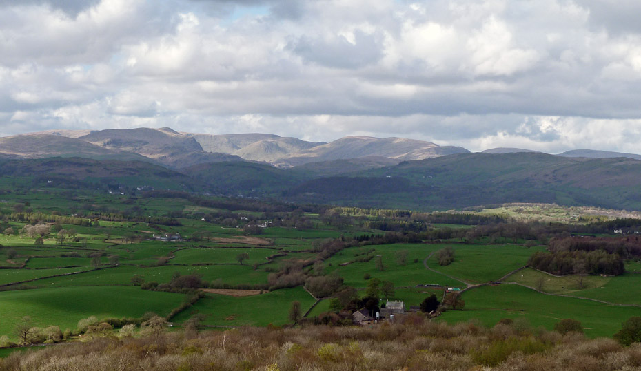
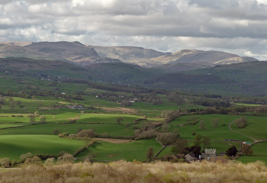
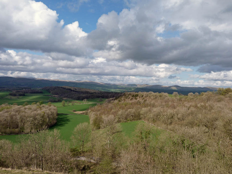
The Whinfell Ridge (l) and Howgills (c) with Benson Knott in the middle.
The Whinfell Ridge.
We are now at the highest point of the day. The summit trig point lies a couple of hundred yards or so to our left but we will drop down to the other side of the ridge.
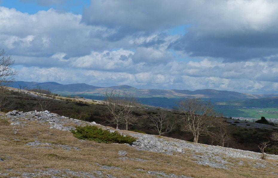
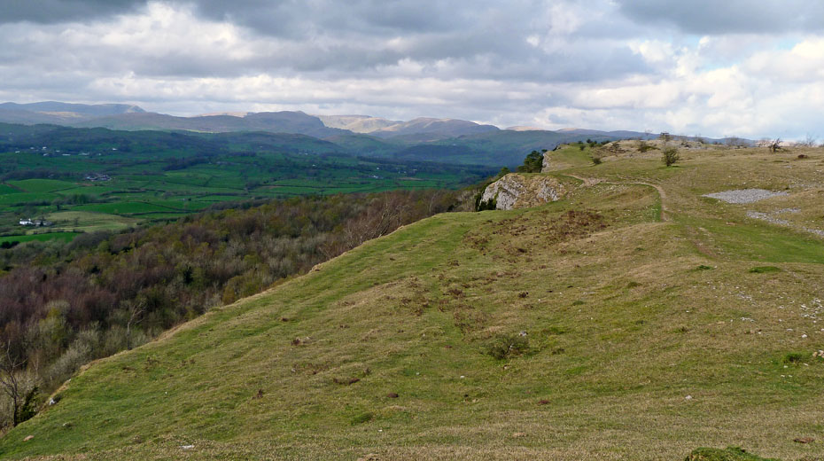
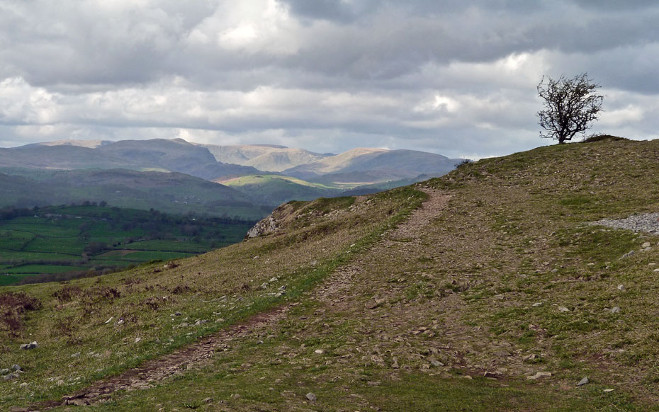
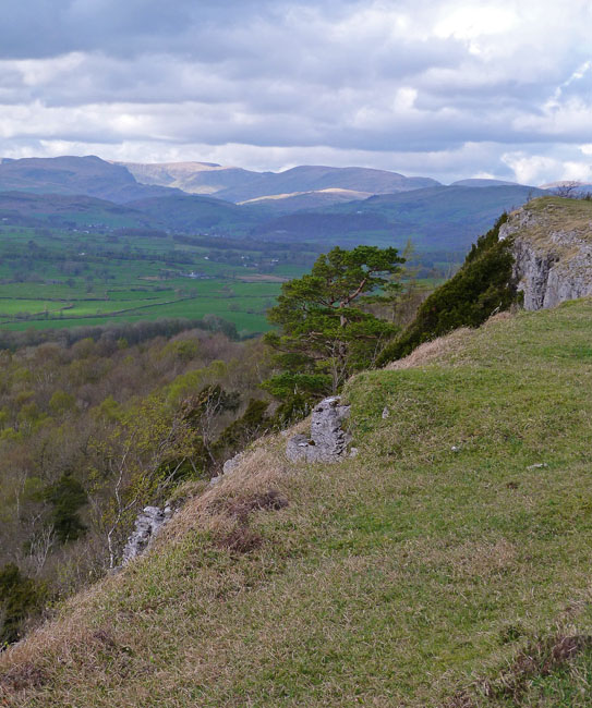
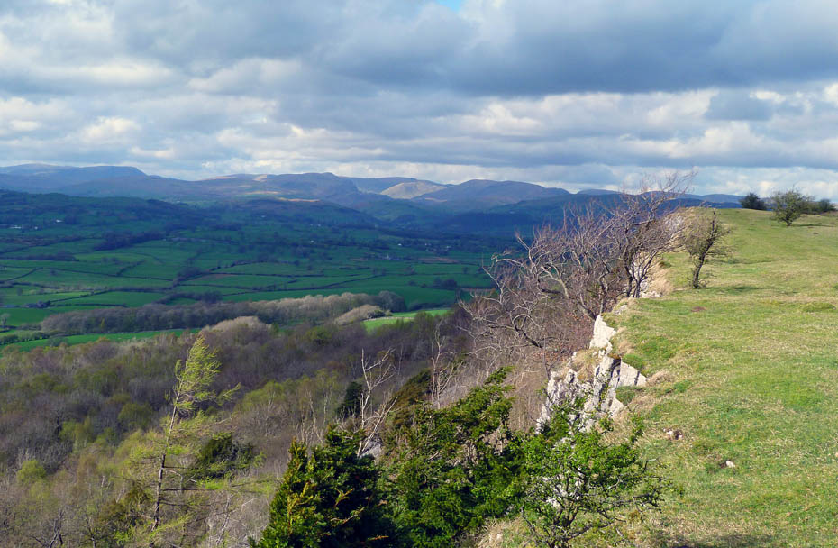
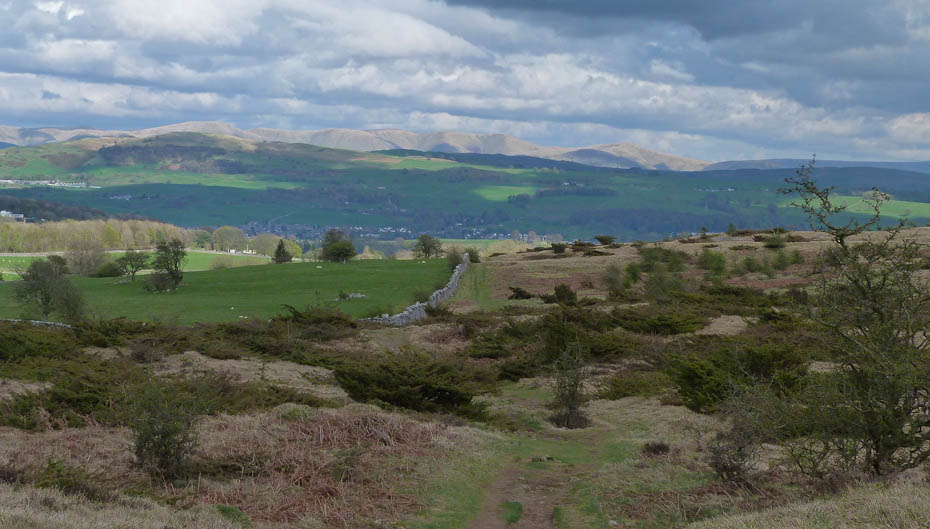
Now at the eastern edge of the ridge and looking N'wards along the scar.
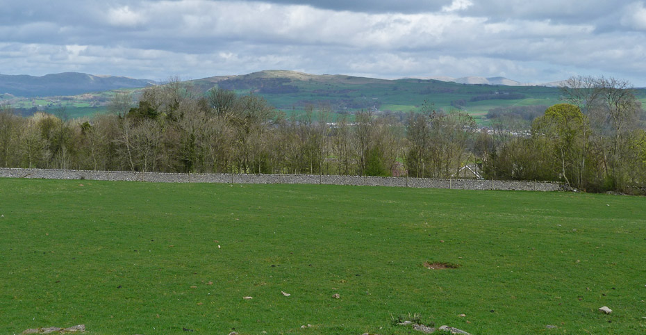
Barrowfield Farm in the valley below.
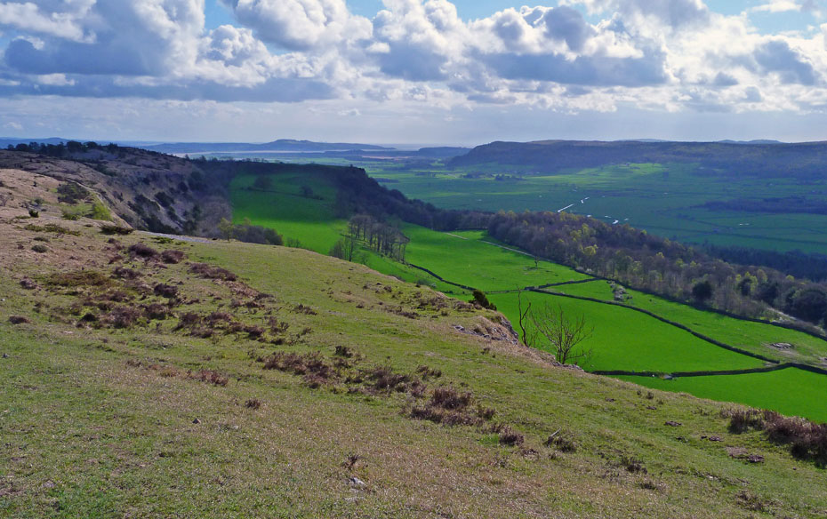
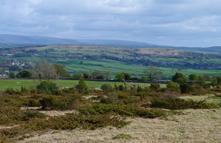
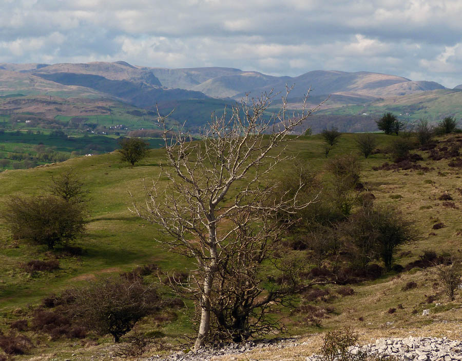
Looking S'wards into the sun down the Lyth Valley towards Arnside Knott with Whitbarrow across the valley.
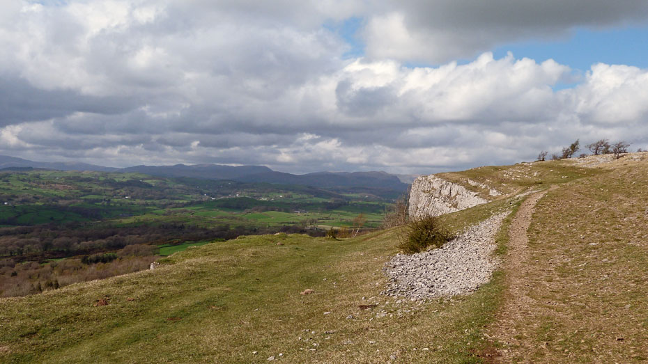
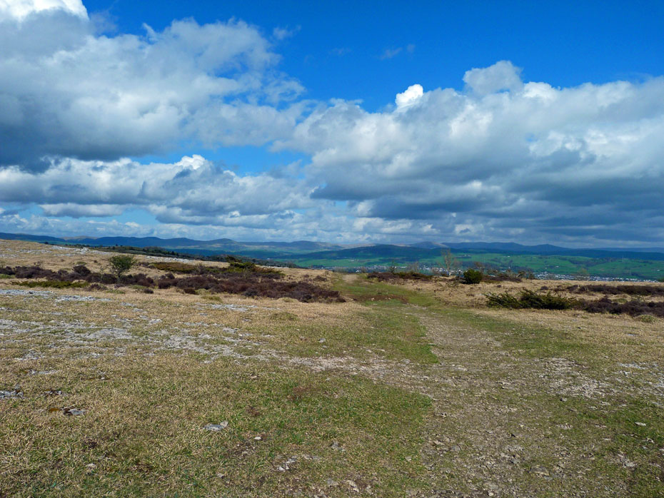
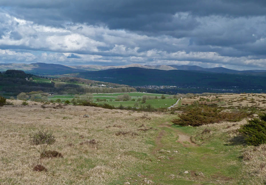
We set of N'wards along the scar edge hopefully into the views.
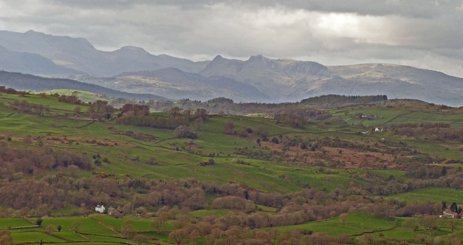
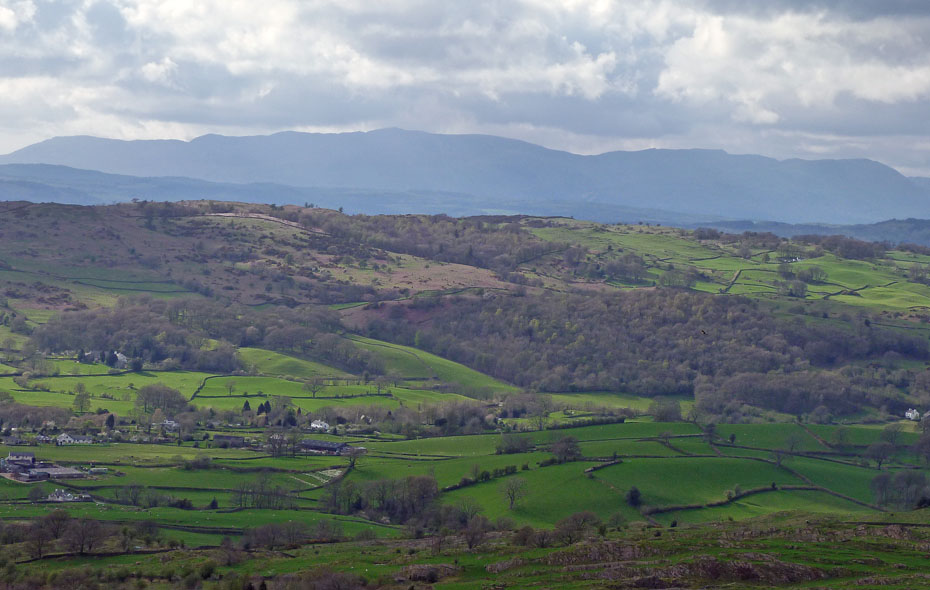
The Eastern & Far Eastern Fells were one minute in sun, the next in shadow as fast-moving clouds passed by.
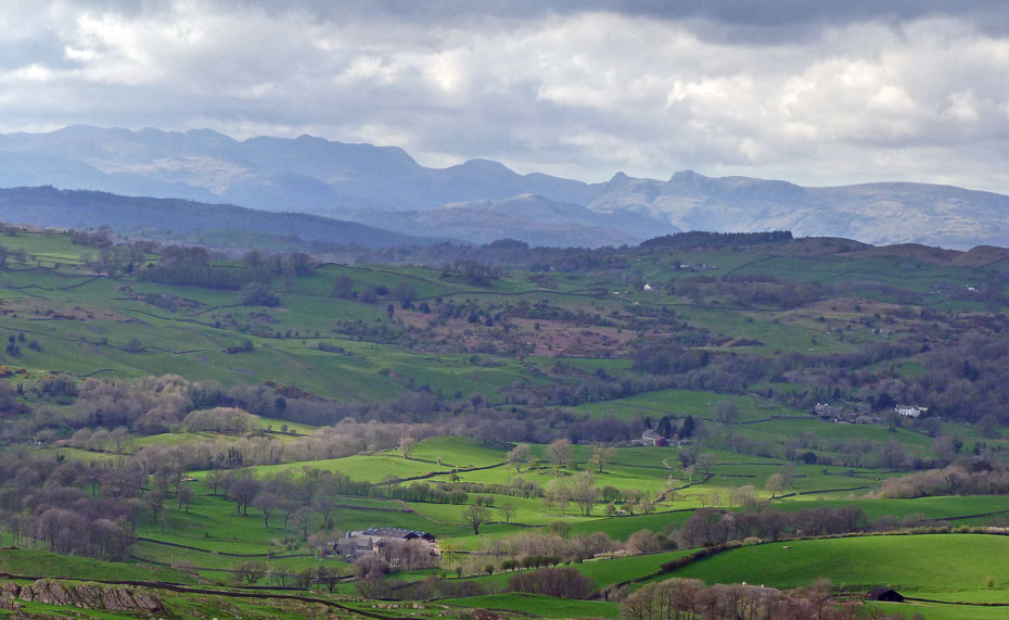
Looking over towards the Coniston & Langdales was a similar story.
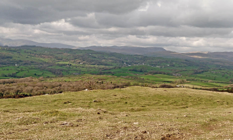
The Crinkle Crags, Bowfell and Langdale Pikes
This is one of our favourite "spur of the moment" walks. I have lost count of the number of times we have done it but it rarely disappoints.
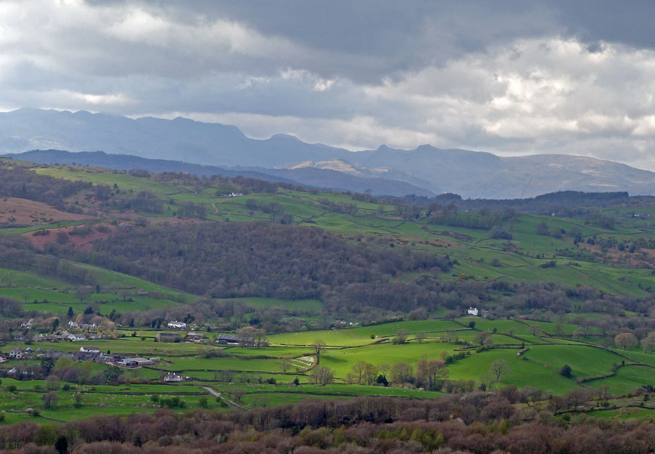
Kentmere lights up in the afternoon sun.
The Coniston Fells appear from the cloud.
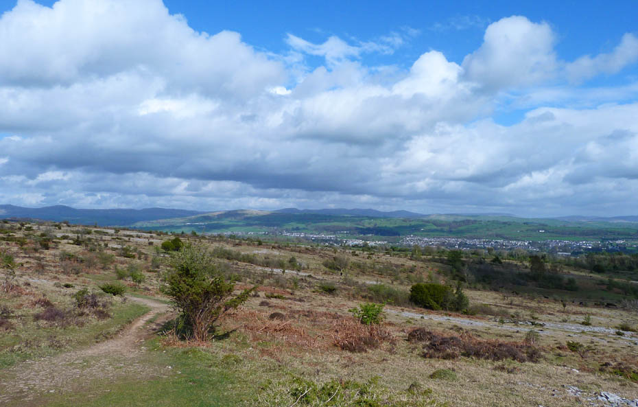
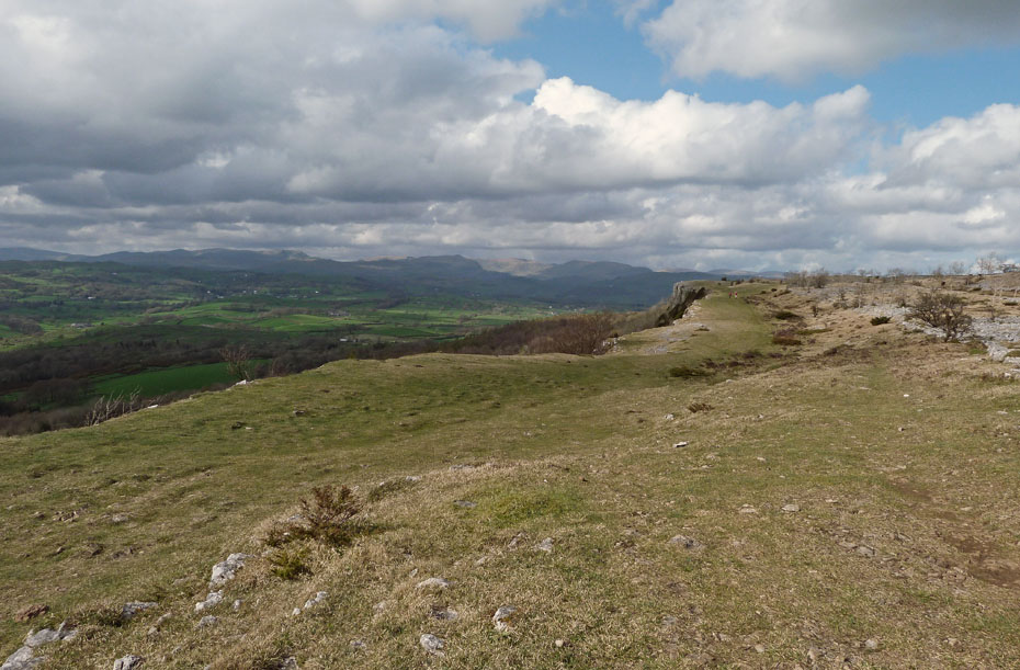
As we approach the northern end of the scar the day appears to be getting better.
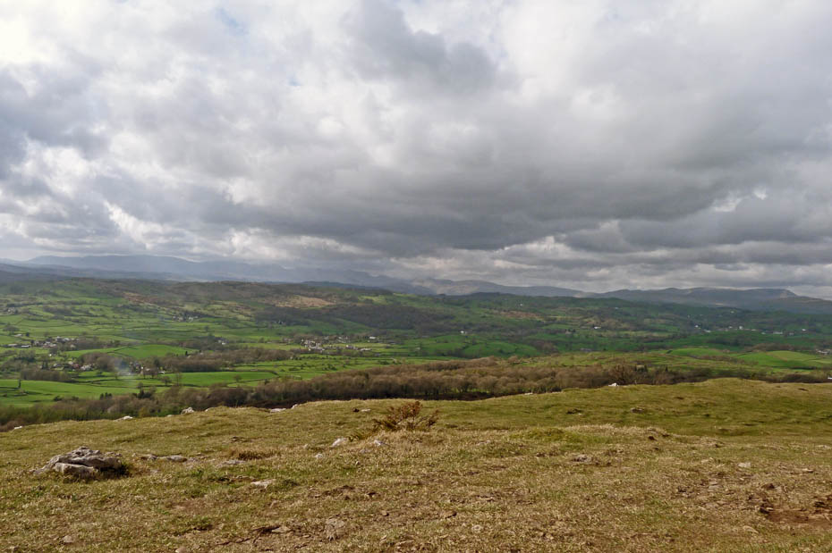
This is our turning point and the weather as been kind to us. The Kentmere Fells lay before us in the sun.
I make no apologies for another shot.
Looking over Cunswick Fell towards the Shap Fells.
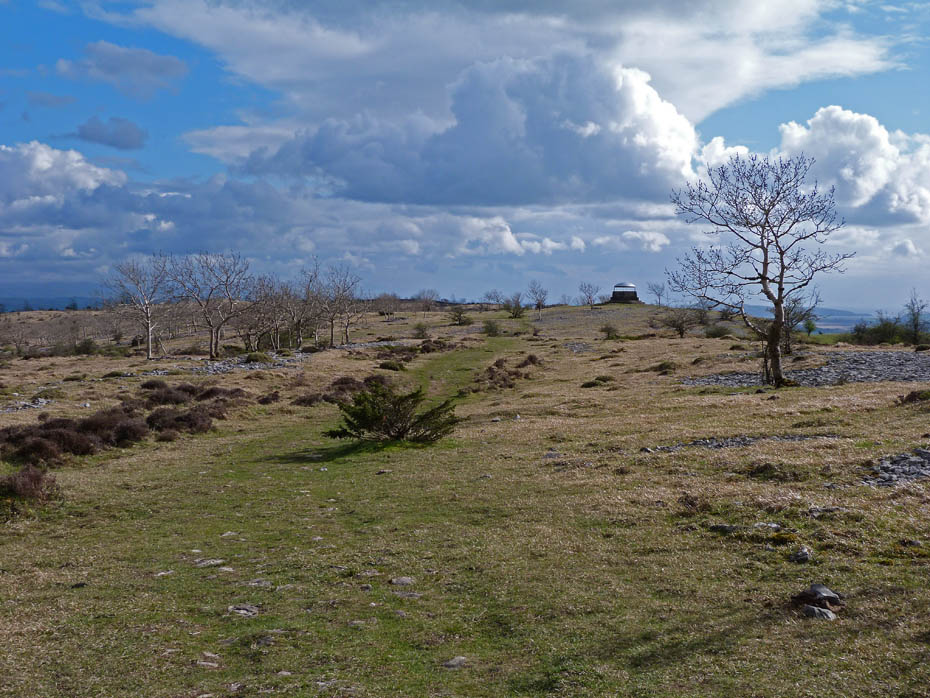
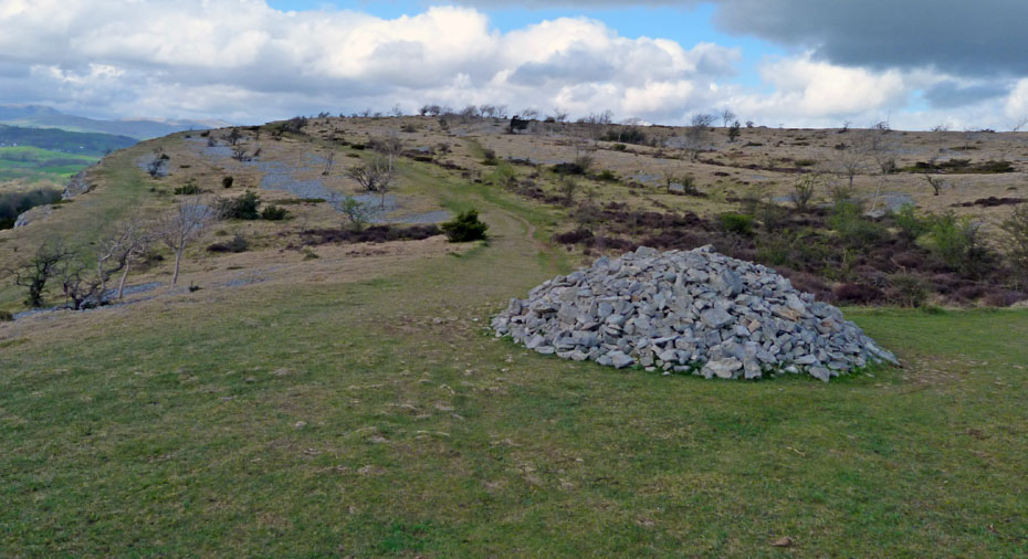
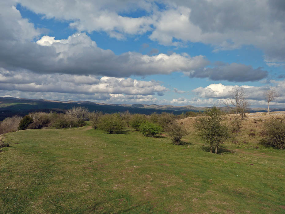
Our return route took us up onto the ridge to the mushroom shelter....
.....where it was impossible to resist one more shot.
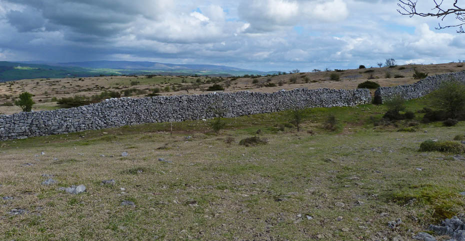
From the shelter a path took us down to a gate in the wall.
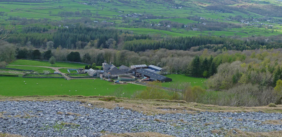
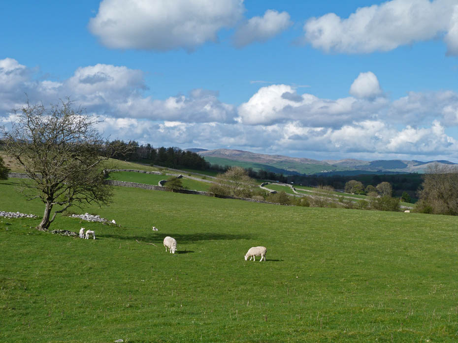
And along a well-trodden path towards Bradleyfield Farm.
The Howgills show in the sun behind Benson Knott.
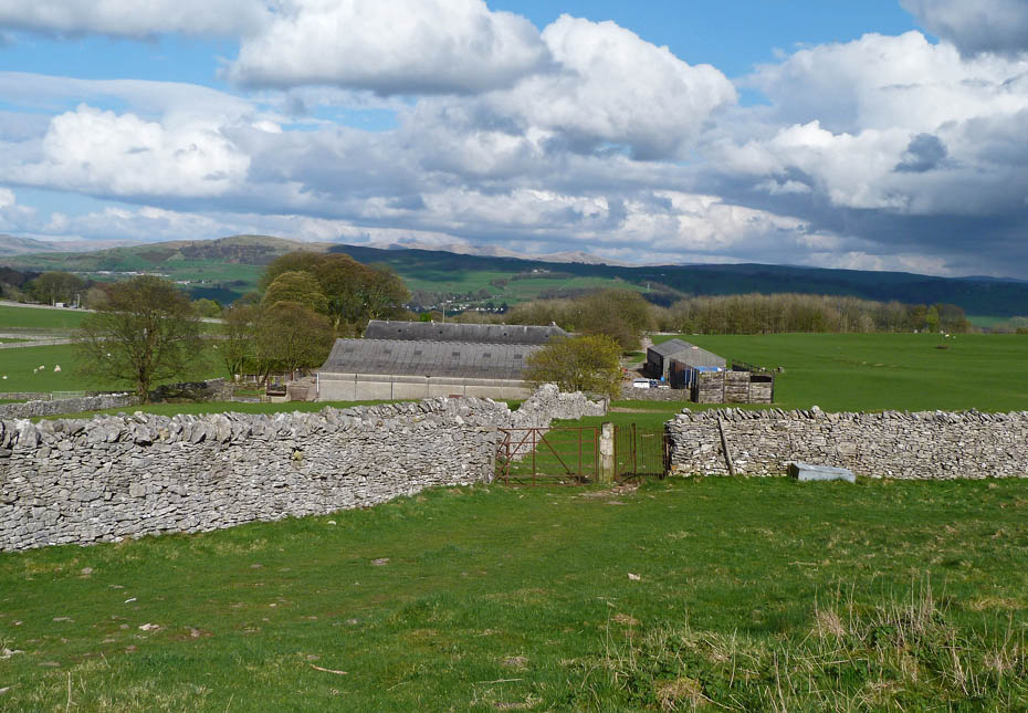
Bradleyfield Farm
And finally......back to the car
Next Walk: 15th April 2011 - South Cumbria - A walk around the Cartmel Peninsula
Last Walk: 10th April 2011 - Lake District - An alternative Yewbarrow
Do you have a Facebook or Twitter account? We post regular updates on both plus some additional pictures. Just click on either of the links below and add us.
![]()

We hope you have enjoyed viewing this walk. If you have any comments please sign our Guestbook or E_Mail us.
