
| Area: | South Cumbria | Ascent: | 200 feet |
| Walk No: | 526 | Time: | 3hours |
| Date: | 21st April 2011 | Parking: | Lay-by on A590 (SD329842) |
| Distance: | 5.75 miles | Weather: | Fine & Sunny. Very warm. |
For those of you that are thinking of going onto the hills I would strongly recommend that you read the advice given by the Mountain Rescue organisation of England and Wales. To read this advice, which will open in a new page please click HERE. If you would like to make a donation to the Mountain Rescue organisation which is purely voluntary please click HERE. Please make the time to read the advice page.
---------------------------------------------------------------
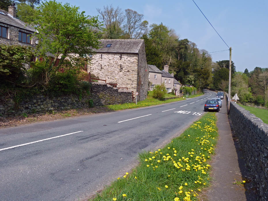
I had two appointments at my GP's this morning. The first was for my 4 weekly blood samples and the second was to have my ears syringed so that the guys at the Audiology can fit me with hearing aids at some point. This meant it was after 10am before we could set off anywhere. My first choice had been to have a walk along the Cumbria Way near Torver but thinking that the parking spaces might be full I stopped off in a lay-by on the A590 at the bottom of the Rusland Valley.
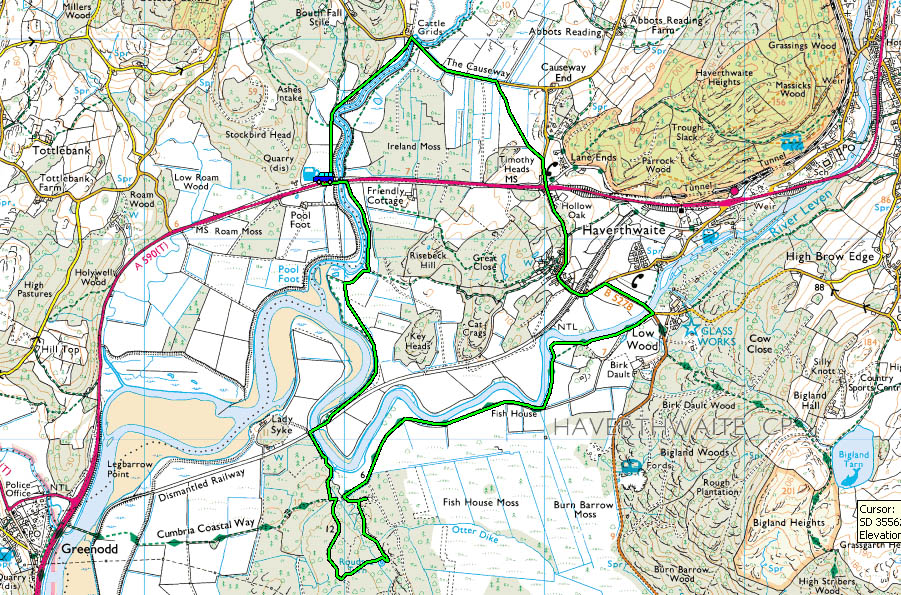
Route Map
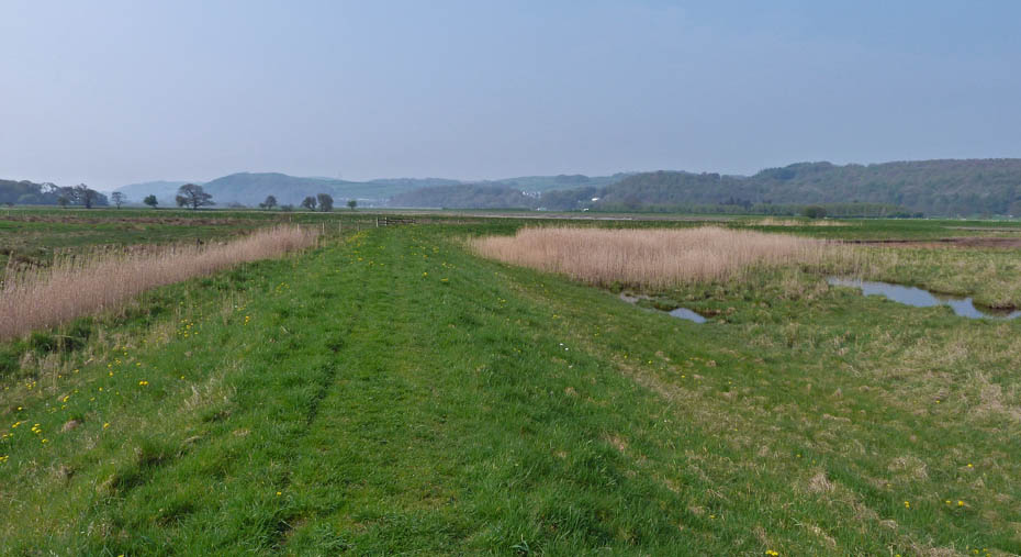
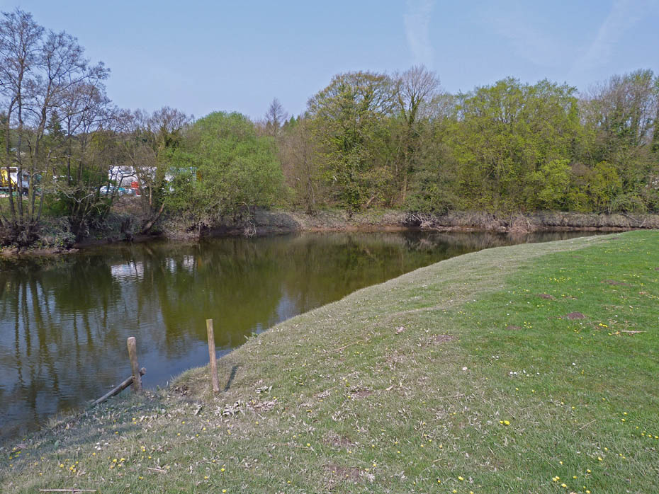
The first section of the walk follows Rusland Pool along its banking.
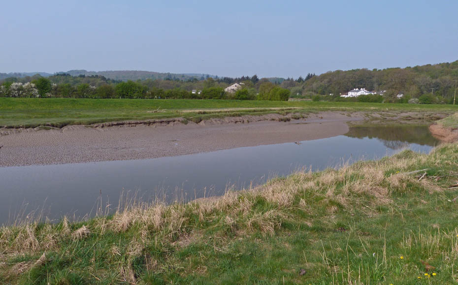
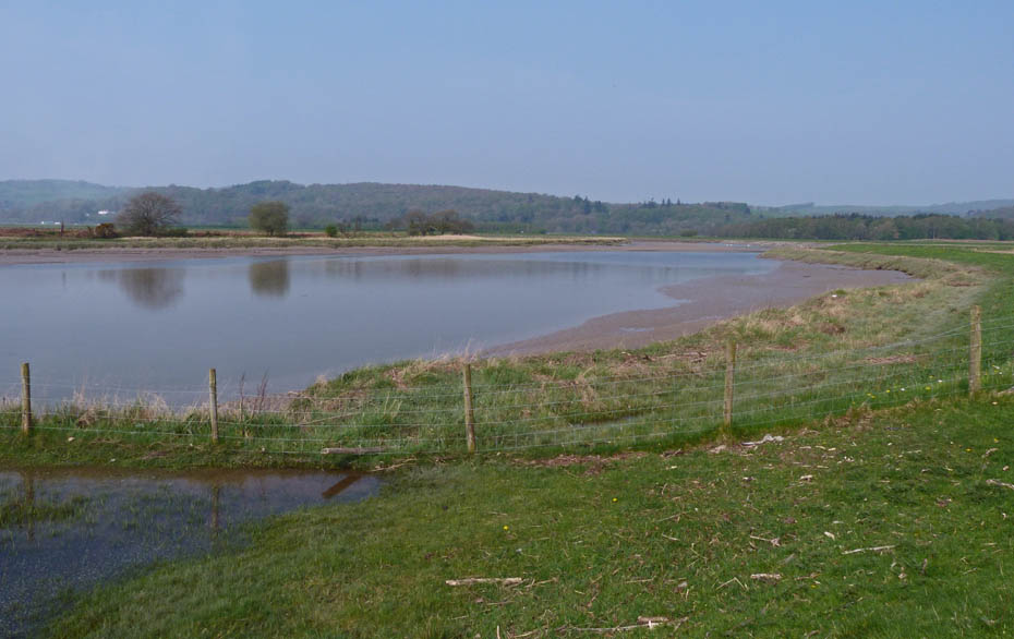
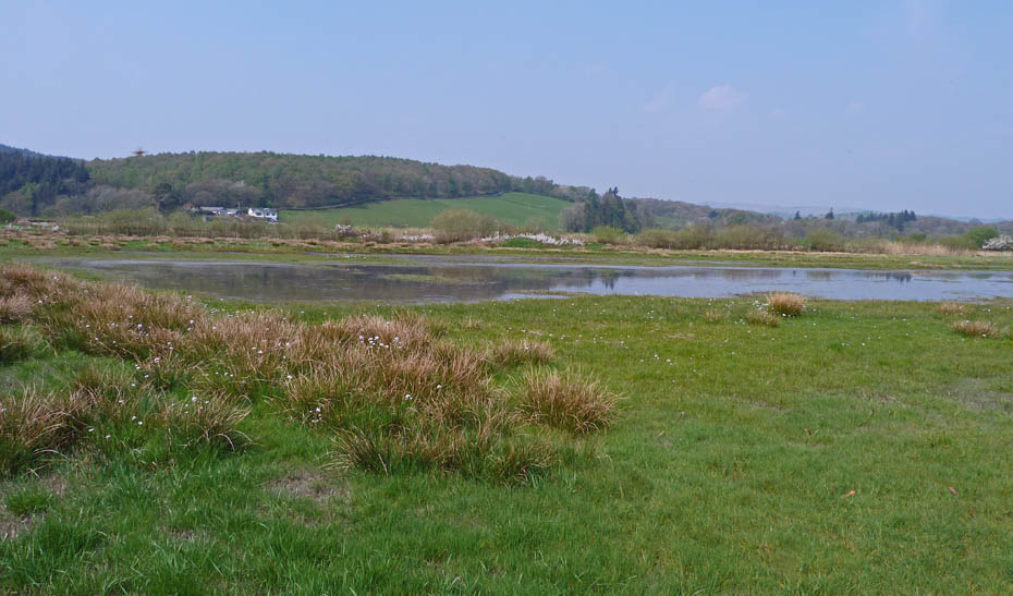
All the sections followed on the walk are tidal
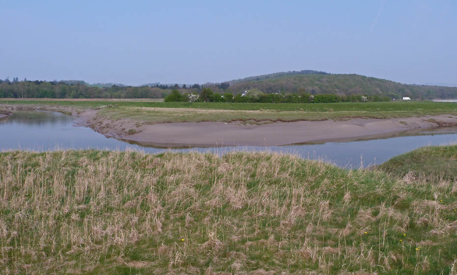
We are now approaching where Rusland Pool joins the River Leven. The little "bump" is Colton Heights near Bouth.
One of the farmers was spreading something on the nearby fields. Fortunately what breeze there was carried the dust away from us.
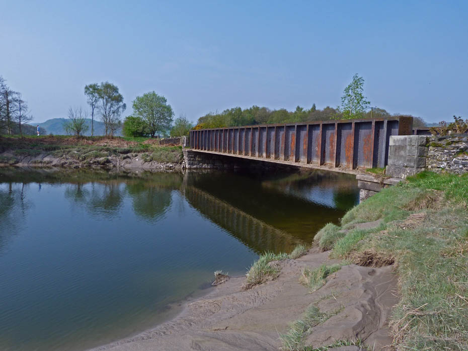
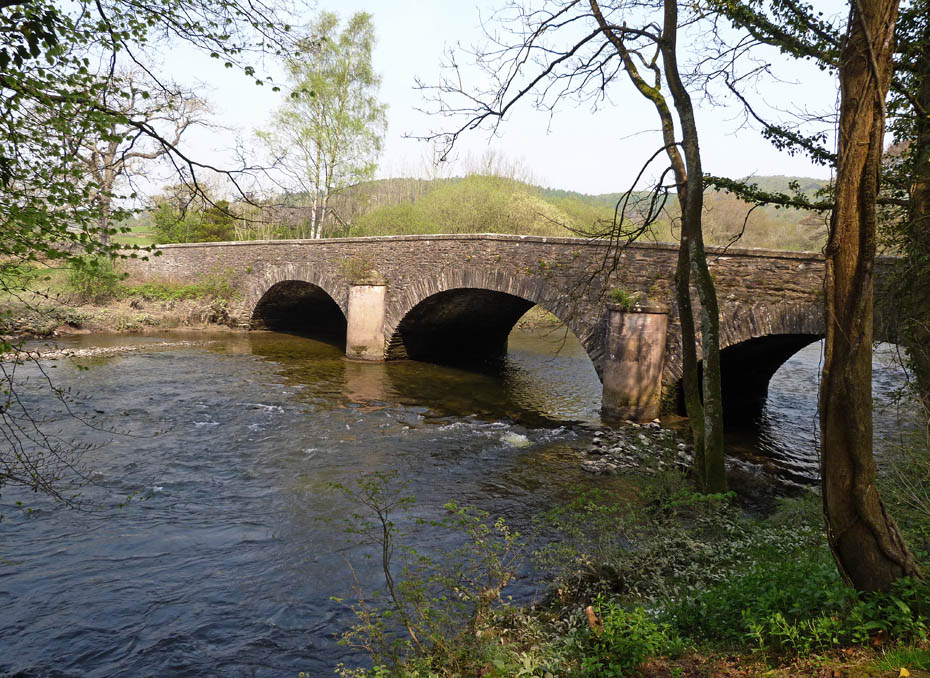
The old railway bridge over the River Leven. This line is that which continues to Haverthwaite and then to Lakeside. The last time we were here we saw what I believed to be Otter paw-prints.
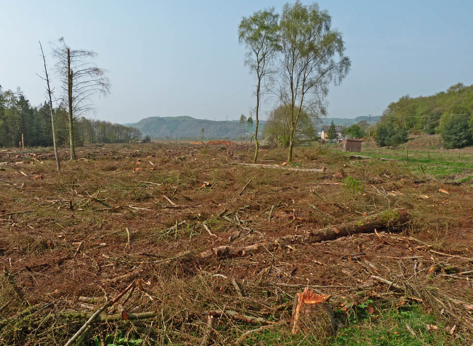
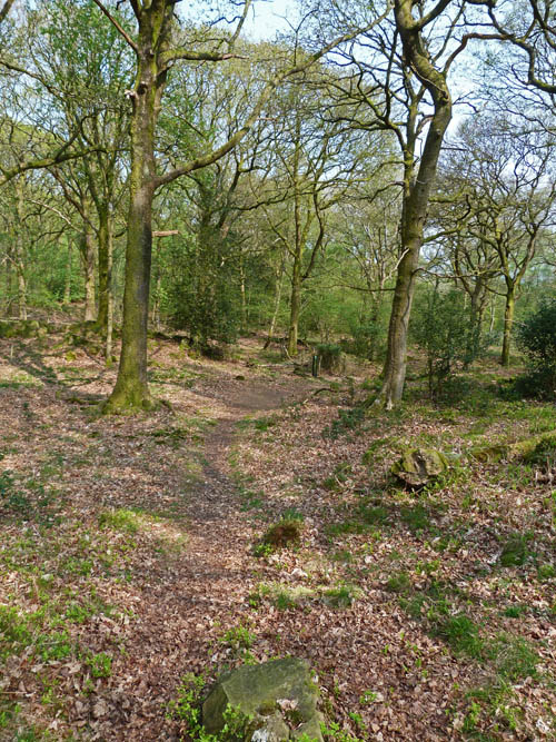
There as been a lot of tree felling going on since we were last here.
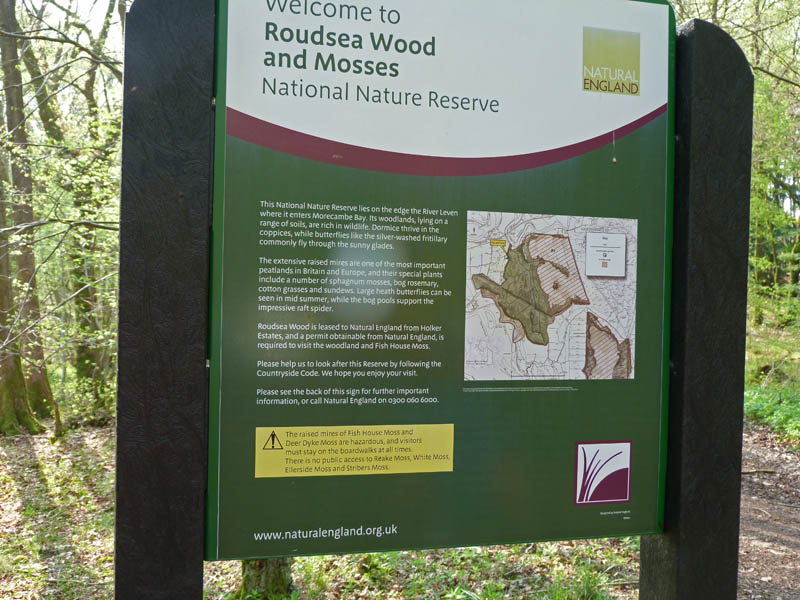
We decided to have a bit of a walk around the Nature Reserve.
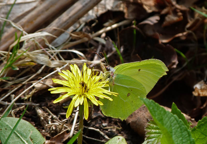
A Brimstone.....I think!
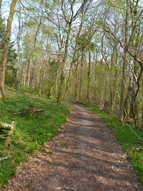
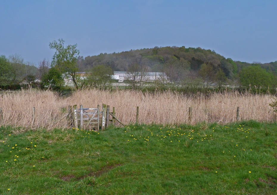
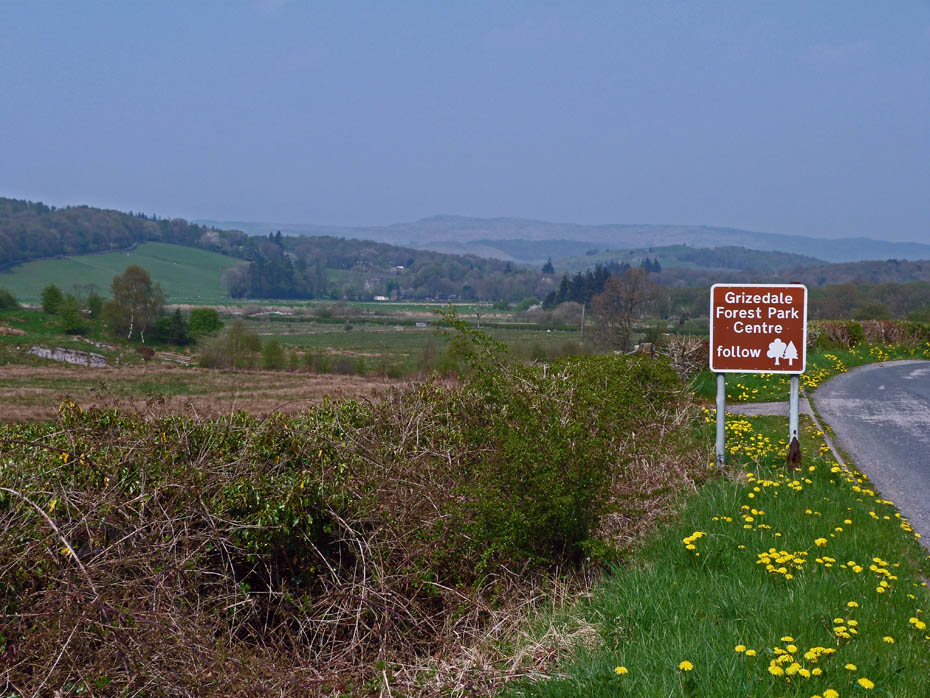
Hopefully this track will lead us to Roudsea Tarn.
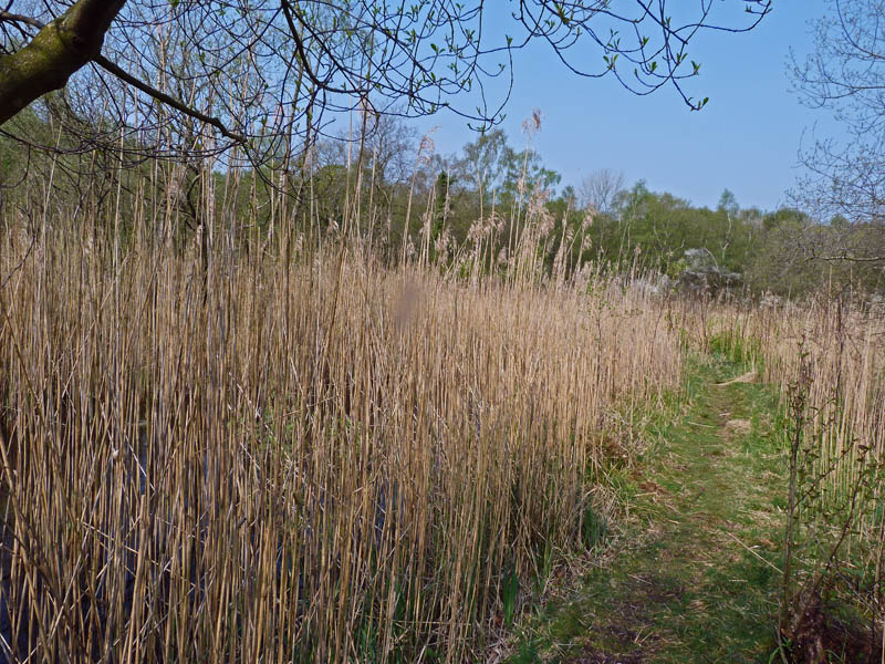
Well it did but the tarn was protected by a thick banking of reeds.
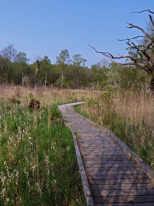
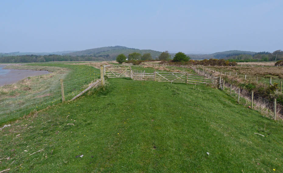
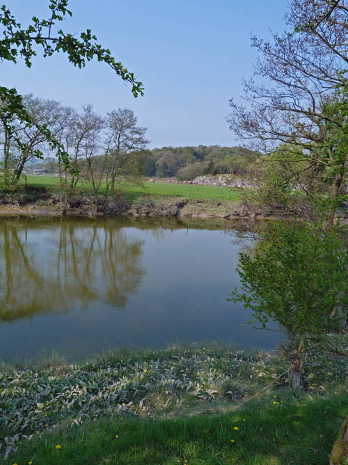
We decided to make our way back to our path towards Haverthwaite.
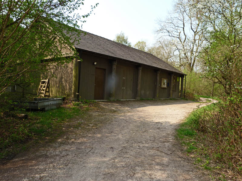
English Nature's centre.
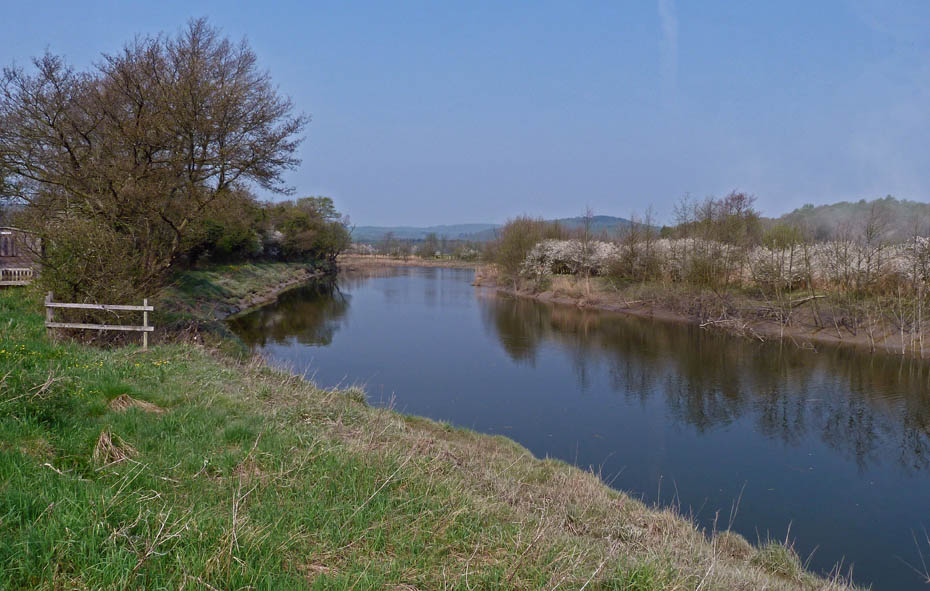
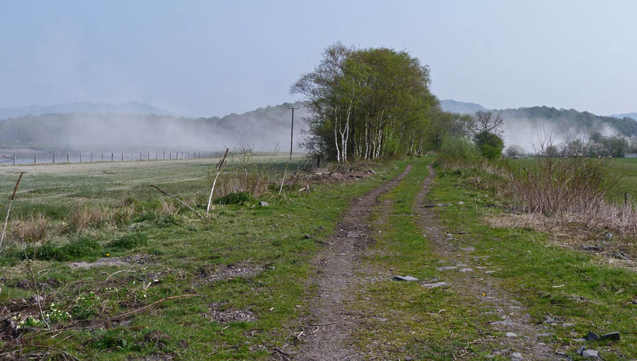
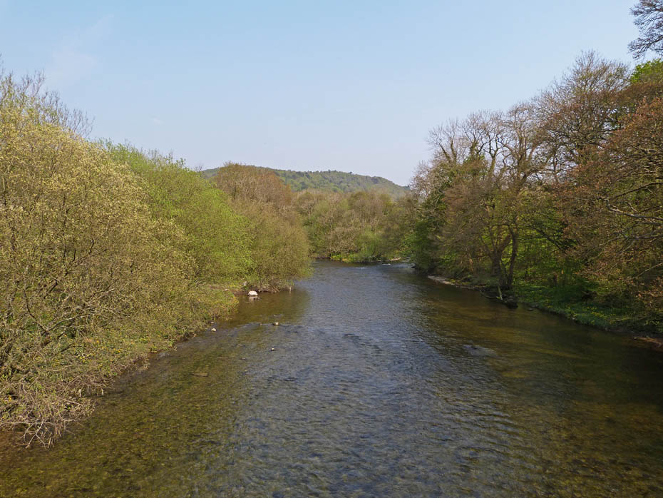
Back on our path now and following the River Leven upstream.
Looking over towards Cat Crags and the farmer is still making a lot of dust.
The whitish tide mark shows how high the river as been. I assume the whiteness comes from the salt in water as this section is still tidal.
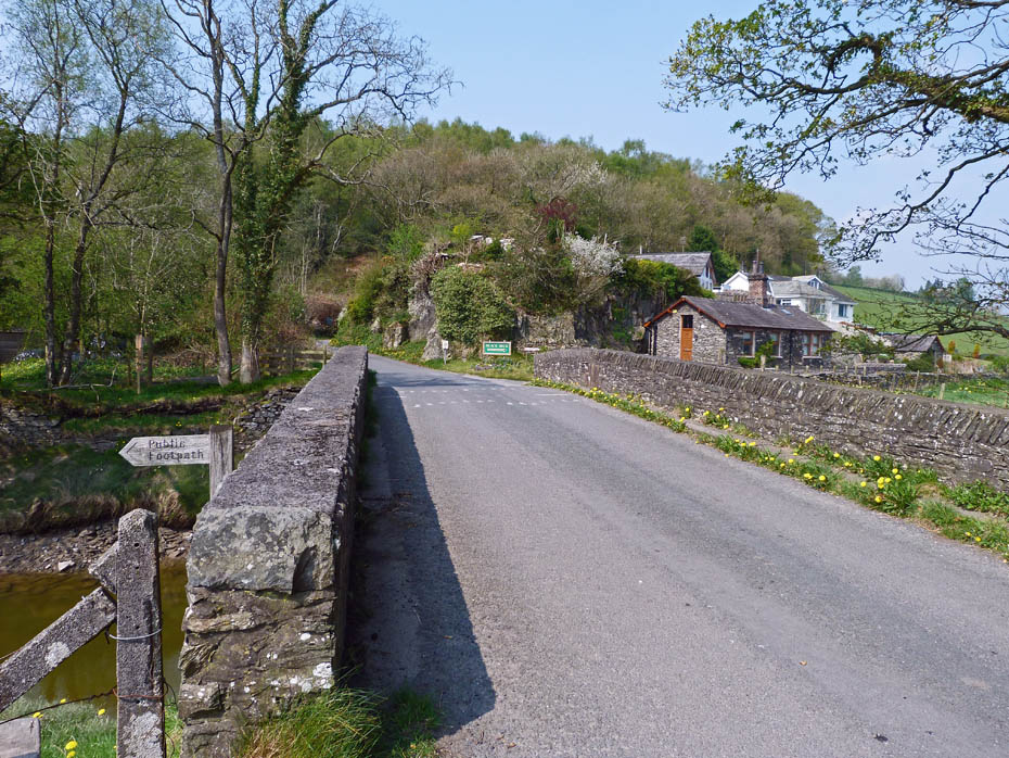
The bridge carrying the B5278 over the River Leven at Low Wood.
The River Leven as we crossed the bridge.
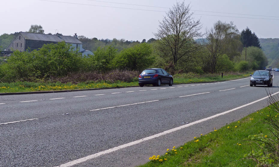
We walked up the road towards the A590
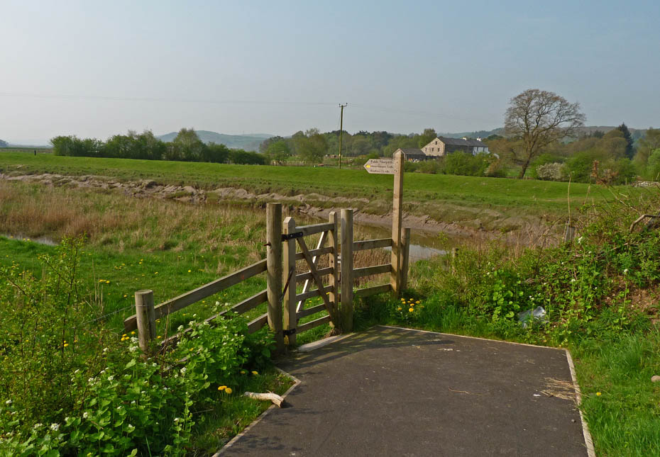
After crossing the A590 we walked a short distance up the road before taking a path of on the left.....
......which didn't seem to have been used to regularly.
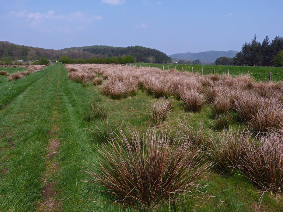
Fortunately this low lying land which would normally be quite wet was very dry after a prolonged dry spell.
On arrival at this bridge we had a choice of paths. We opted for the one on the far side. By this time I had had enough, it was far too hot and I was not feeling too bright.
Fortunately the walking was easy and level.....
......and the path brought us out on the A590 right opposite the car.
Next Walk: 22nd April 2011 - Arnside & Silverdale AONB - Warton Crag via Leighton Moss & Hall
Last Walk: 19th April 2011 - Lake District - The Dales Way from Ratherheath
Do you have a Facebook or Twitter account? We post regular updates on both plus some additional pictures. Just click on either of the links below and add us.
![]()

We hope you have enjoyed viewing this walk. If you have any comments please sign our Guestbook or E_Mail us.
